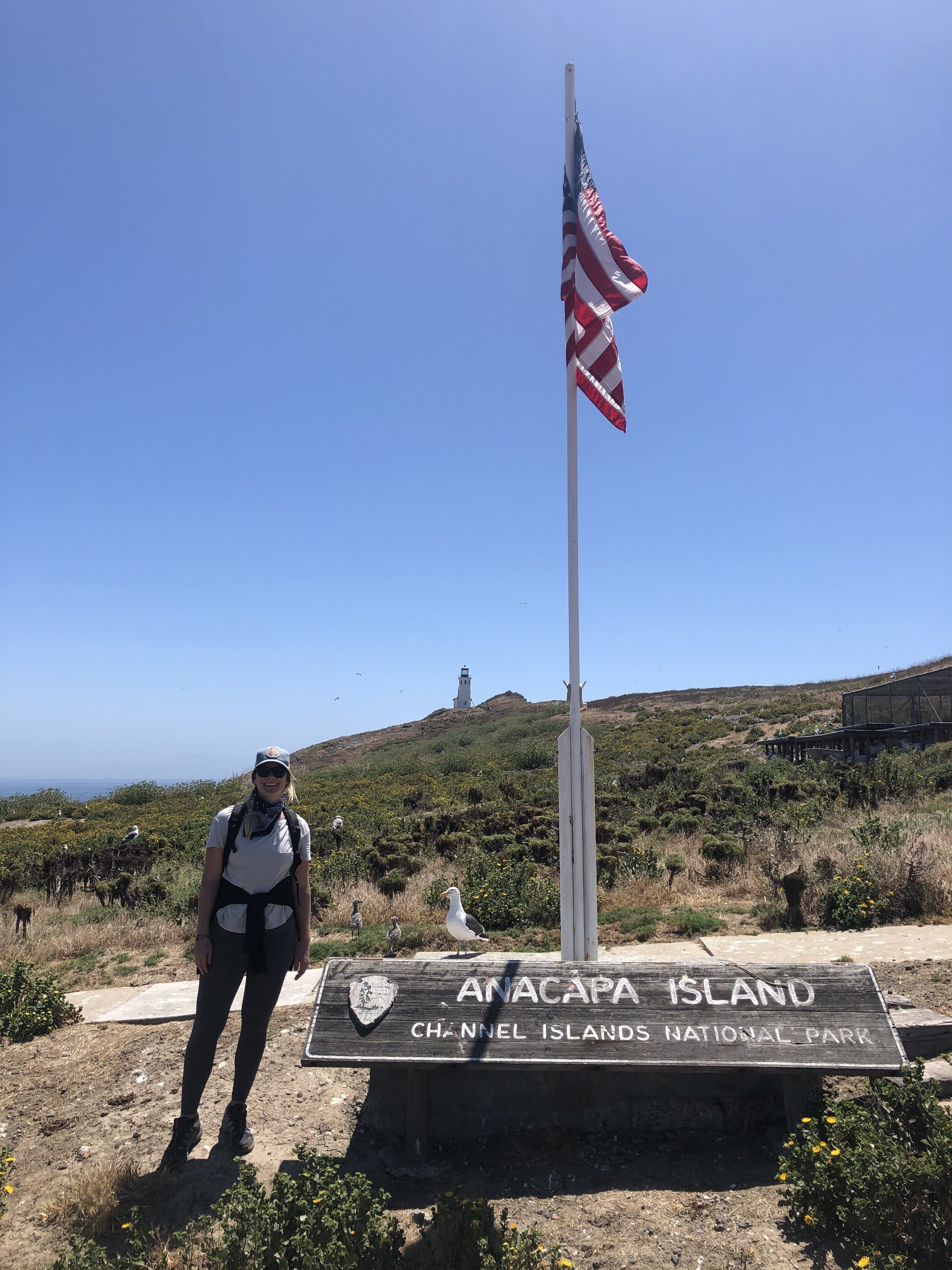
LYFE IN TOW

A year of life on the road

  • BLOG
  • ABOUT
    • THIS JOURNEY
    • WHY THE Y
    • ME, AS A PROFESSIONAL
  • CONTACT
  • PARK PHOTOS
    • Shenandoah National Park
    • Mammoth Cave National Park
    • Great Smoky Mountains National Park
    • Congaree National Park
    • Everglades National Park
    • Biscayne National Park
    • Dry Tortugas National Park
    • Hot Springs National Park
    • Big Bend National Park
    • Guadalupe Mountains National Park
    • Carlsbad Caverns National Park
    • Channel Islands National Park
    • Pinnacles National Park
    • Sequoia & Kings Canyon National Parks
    • Yosemite National Park
    • Lassen Volcanic National Park
    • Redwood National & State Parks
    • Crater Lake National Park
    • Olympic National Park
    • Mount Rainier National Park
    • North Cascades National Park
    • Glacier National Park
    • Grand Teton National Park
    • Yellowstone National Park
    • Zion National Park
    • Bryce Canyon National Park
    • Capitol Reef National Park
    • Black Canyon of the Gunnison National Park
    • Great Sand Dunes National Park
    • Mesa Verde National Park
    • Arches National Park
    • Canyonlands National Park
    • Petrified Forest National Park
    • Saguaro National Park
    • Death Valley National Park
    • Grand Canyon National Park
  • BOOKS
IMG_2995.jpg

#59: Valley Girls

November 21, 2020 by Sarah Williams in National Parks

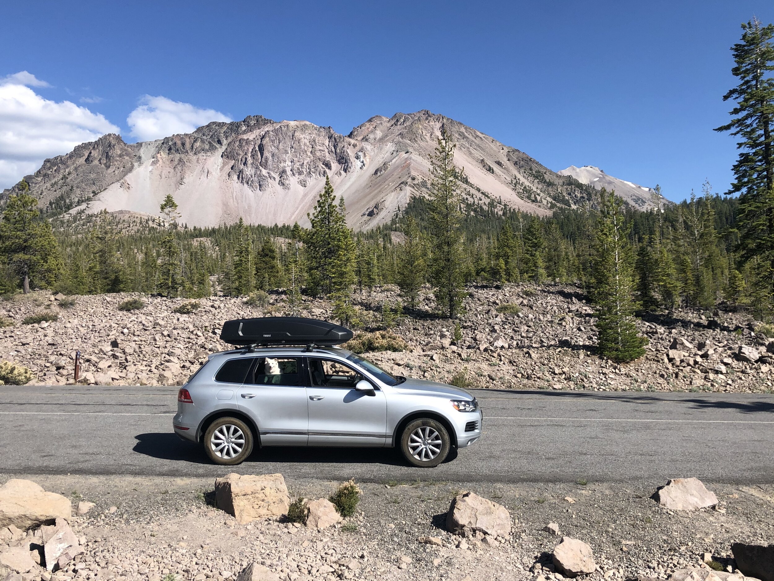
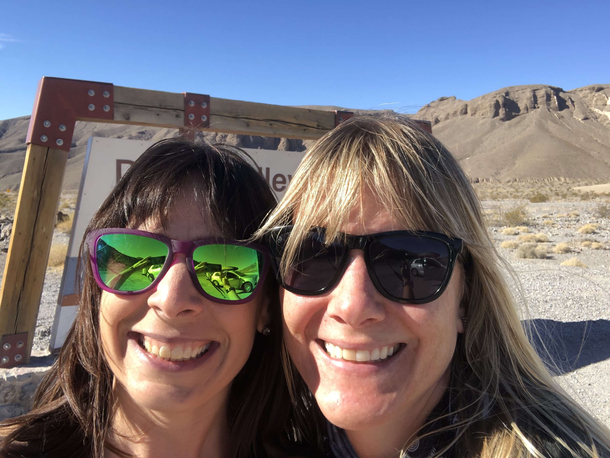
When my friend Amanda expressed interest in visiting me on the road, choosing a time and place for us to meet was somewhat of a crapshoot. She booked the flight months beforehand, so I had to guess a little where I’d be when she planned to come. I knew I’d be “around” Arizona, and I knew the agenda included Death Valley National Park, so we decided flying into Las Vegas would work (Vegas is about two hours east of Death Valley). Scooping her in Vegas, and where we’d travel together, was factored into my route planning.

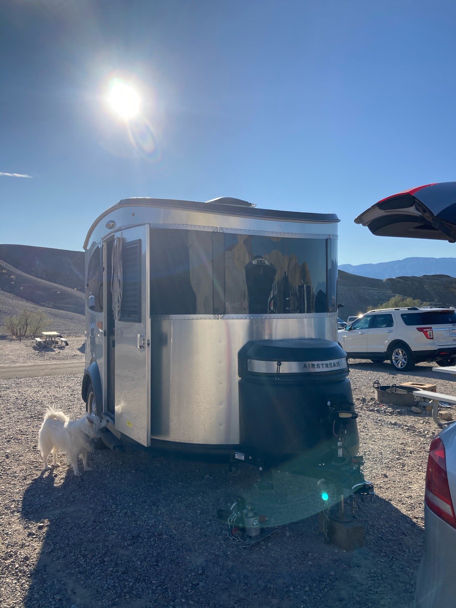
I booked a site at Sam’s Town KOA (Kampgrounds of America) in Las Vegas for the night of Amanda’s arrival. Here, I’d empty/fill tanks and stock up on groceries (and wine). It was strange to go to Vegas and “camp.” The only other times I’ve gone to Vegas was for work trips or bachelorette parties.

IMG_0705.jpg

I quickly introduced Amanda to the RV life. We began the next day with a campground shower. I also demonstrated how I dump the black tank, fill the fresh water tank, and pack up the Airstream when it’s time to drive. I have to say, she picked it up pretty quickly.

We had five full days together. We planned to hit up Death Valley National Park, Valley of Fire State Park in Nevada, and the Hoover Dam.

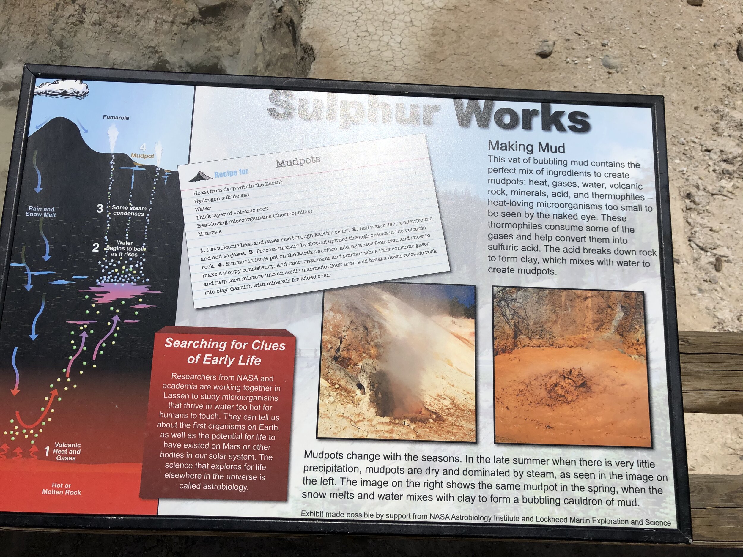
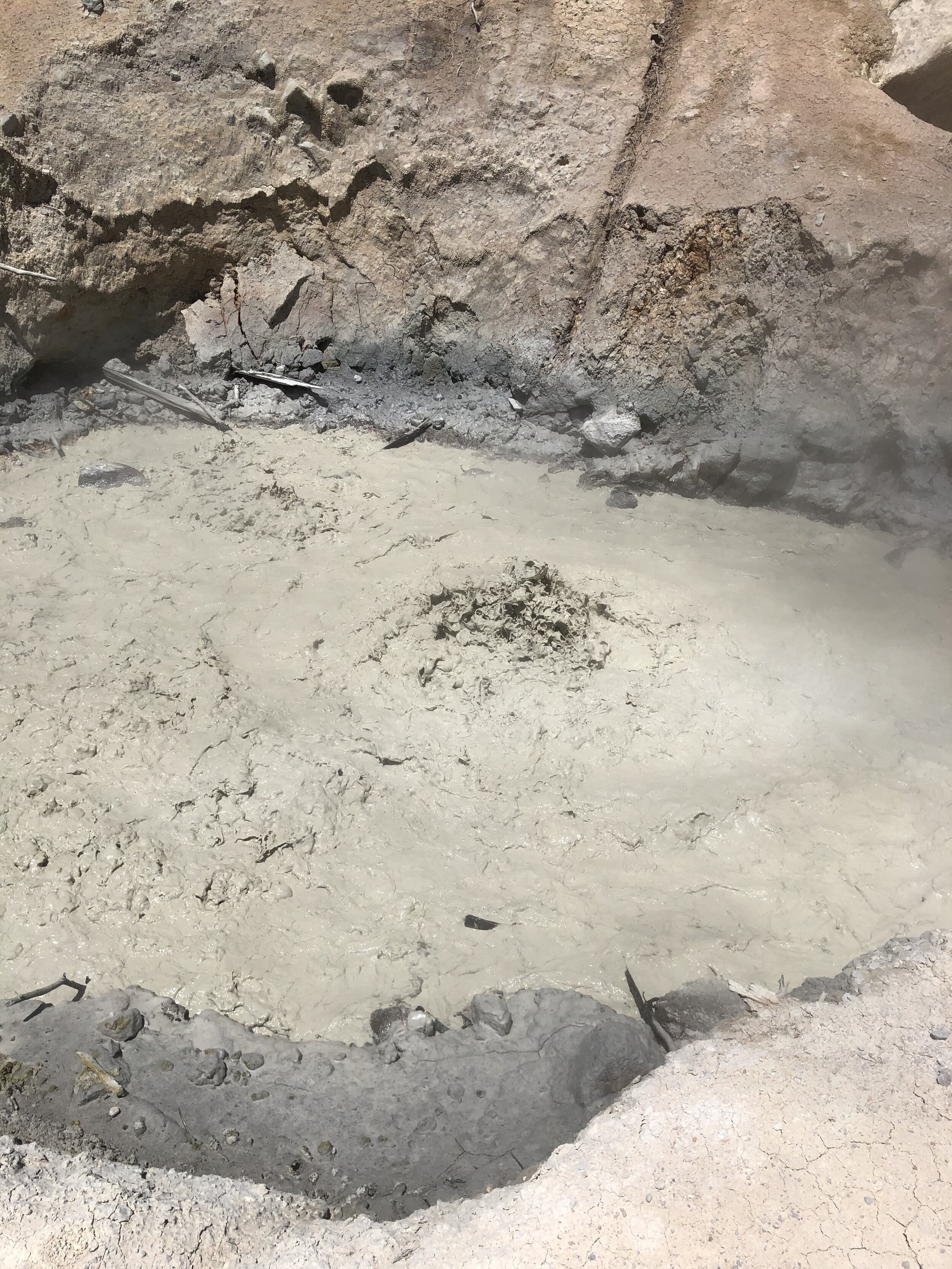
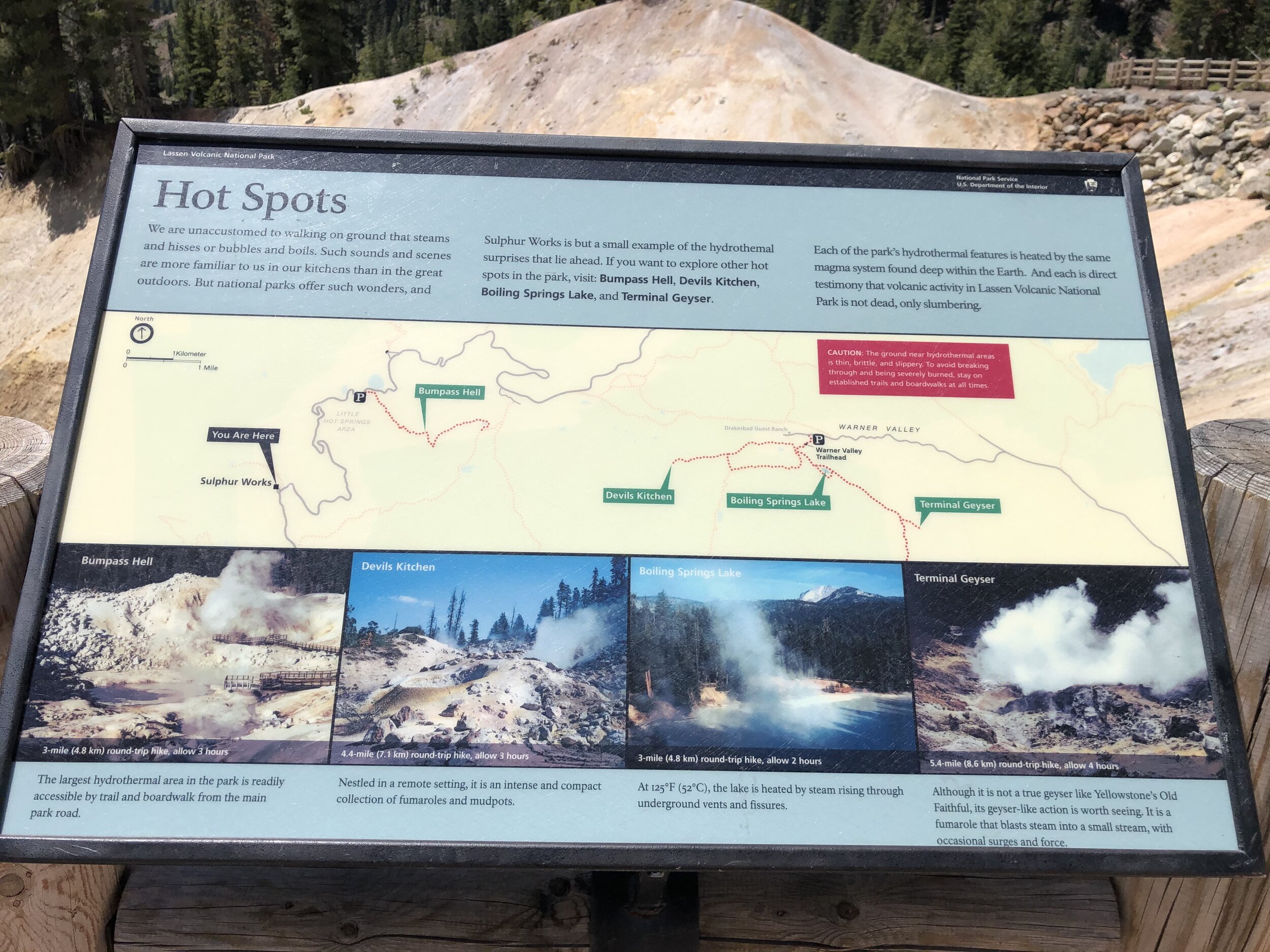
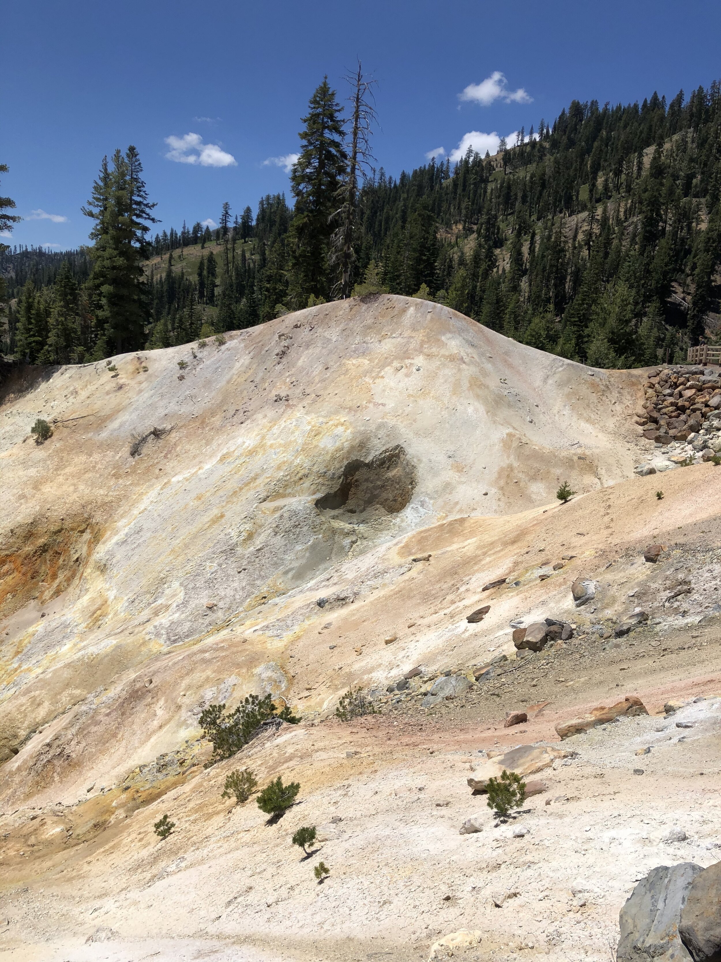
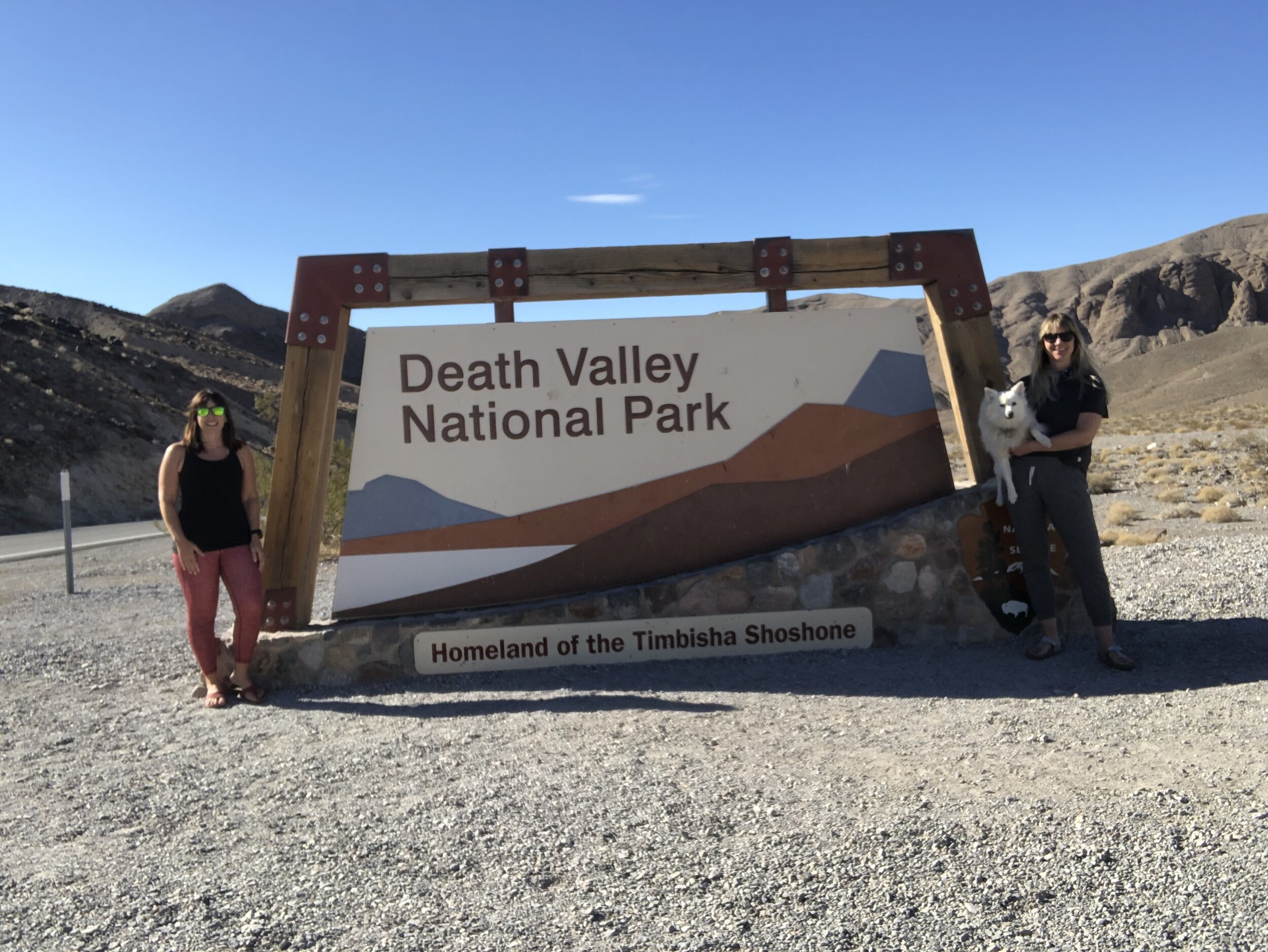
I want to add: I had no expectations for Death Valley. I felt a little badly about Amanda joining me for this particular park because I didn’t think it was one of the “good” ones. I would soon be proven wrong.

Day #1: Las Vegas & Death Valley

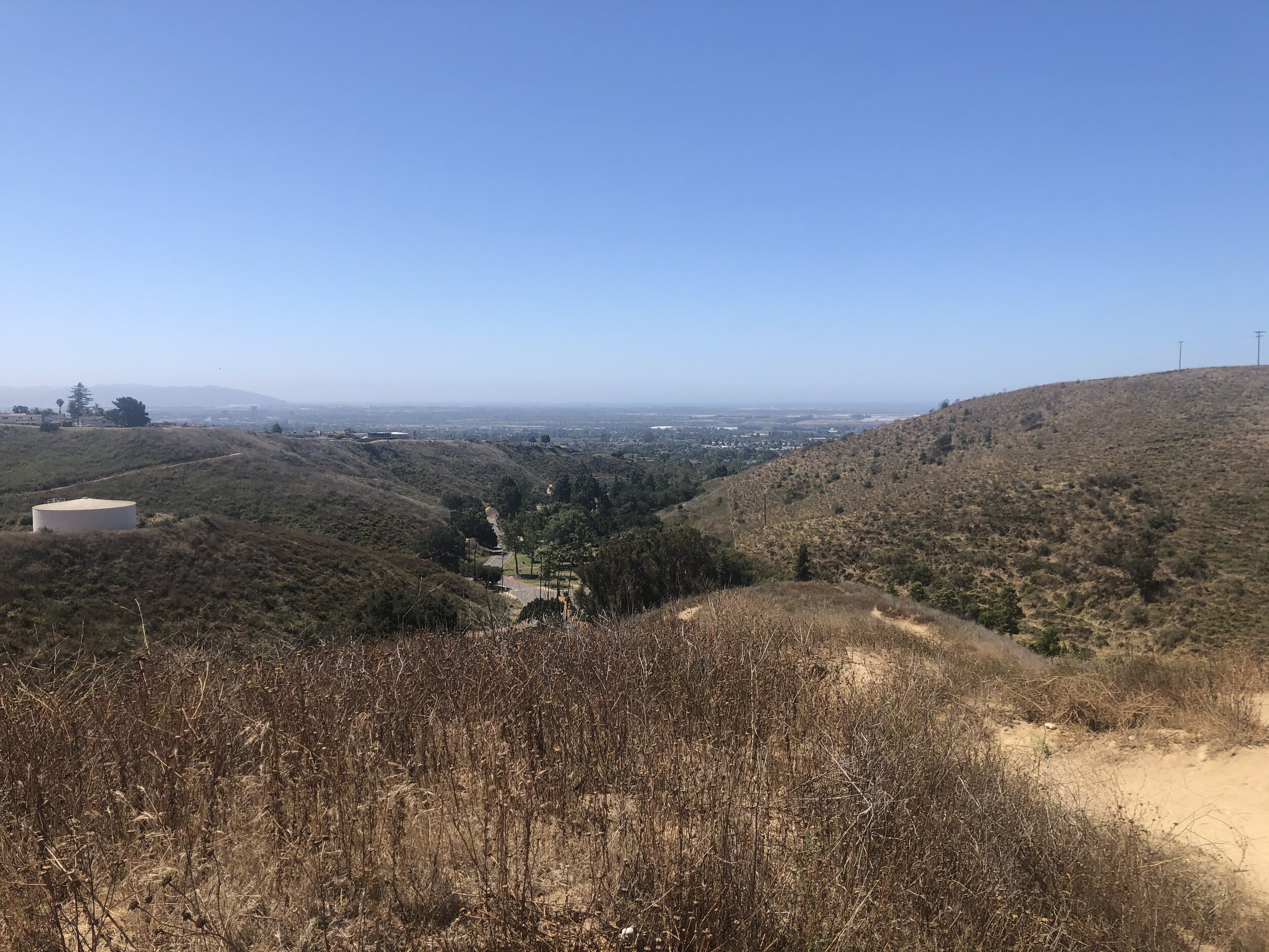
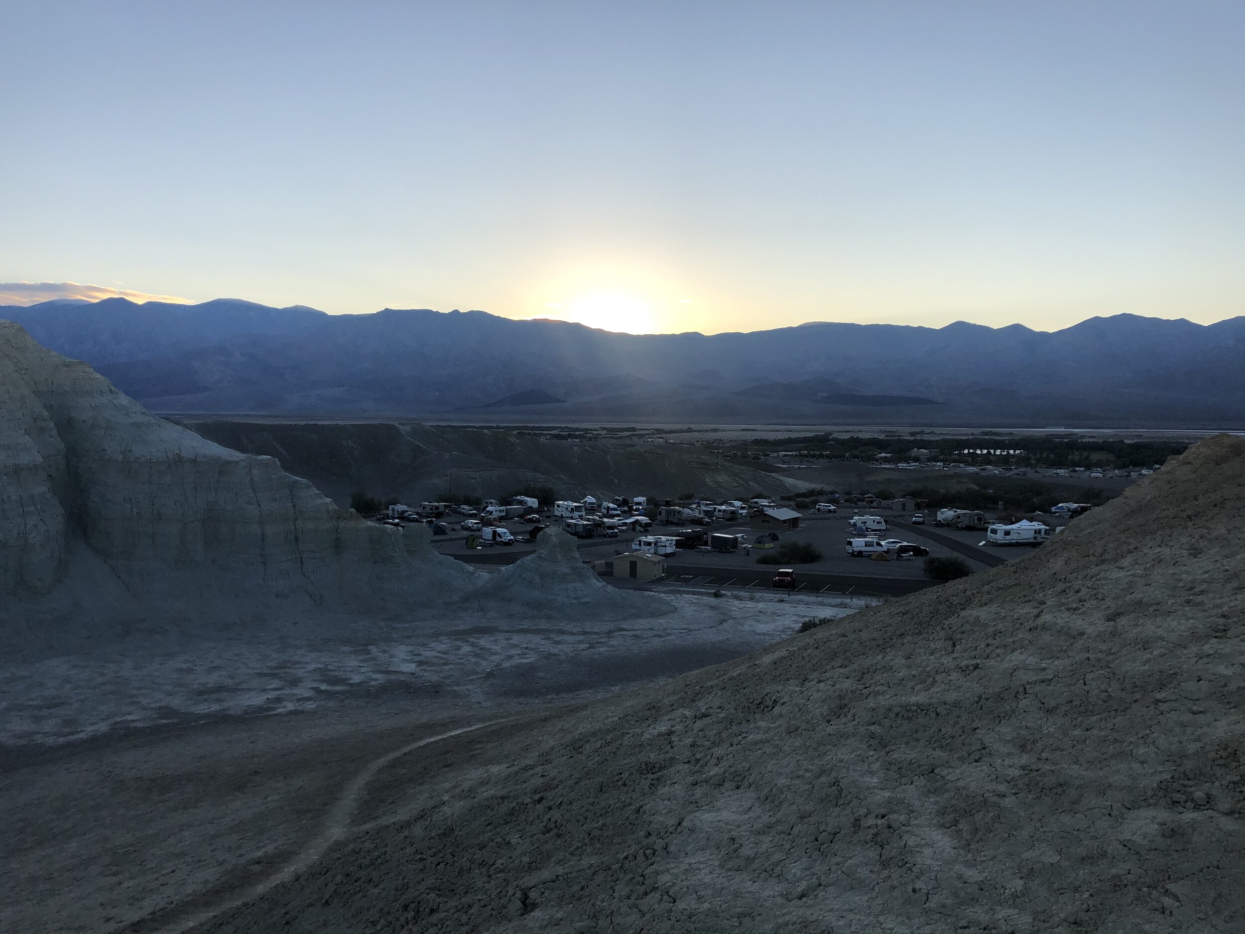
First on the docket was a trip to Trader Joe’s for groceries. After driving for two hours, we arrived at Death Valley mid-day, and although we didn’t have any plans for where to camp, I was confident we’d find a place inside the park. After scoping out a few options, we decided on the first-come, first-serve Texas Springs Campground near the Furnace Creek Visitor Center.

By the time we set up, made some necessary phone calls, and laid out a plan for the next few days, it was time to crack open the wine and whip out the cheese and crackers. We took a quick walk up a hill around our campground to catch the sunset.

IMG_2901.jpg
IMG_0053.jpg
IMG_0088.jpg
IMG_0121.jpg
IMG_0136.jpg
IMG_2910.jpg
IMG_2913.jpg
IMG_2914.jpg
IMG_2916.jpg
IMG_2901.jpg IMG_0053.jpg IMG_0088.jpg IMG_0121.jpg IMG_0136.jpg IMG_2910.jpg IMG_2913.jpg IMG_2914.jpg IMG_2916.jpg

Day #2: Death Valley

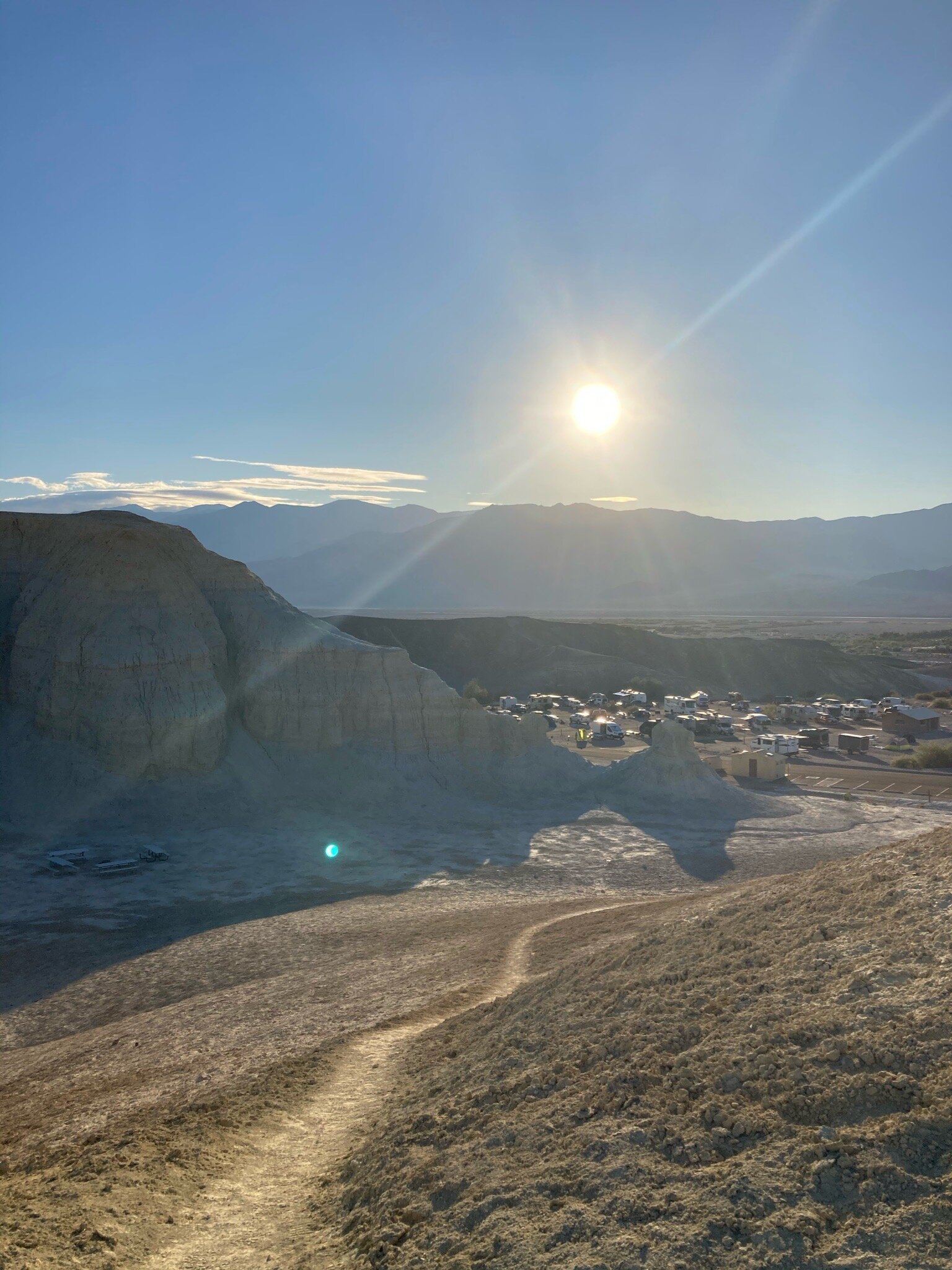
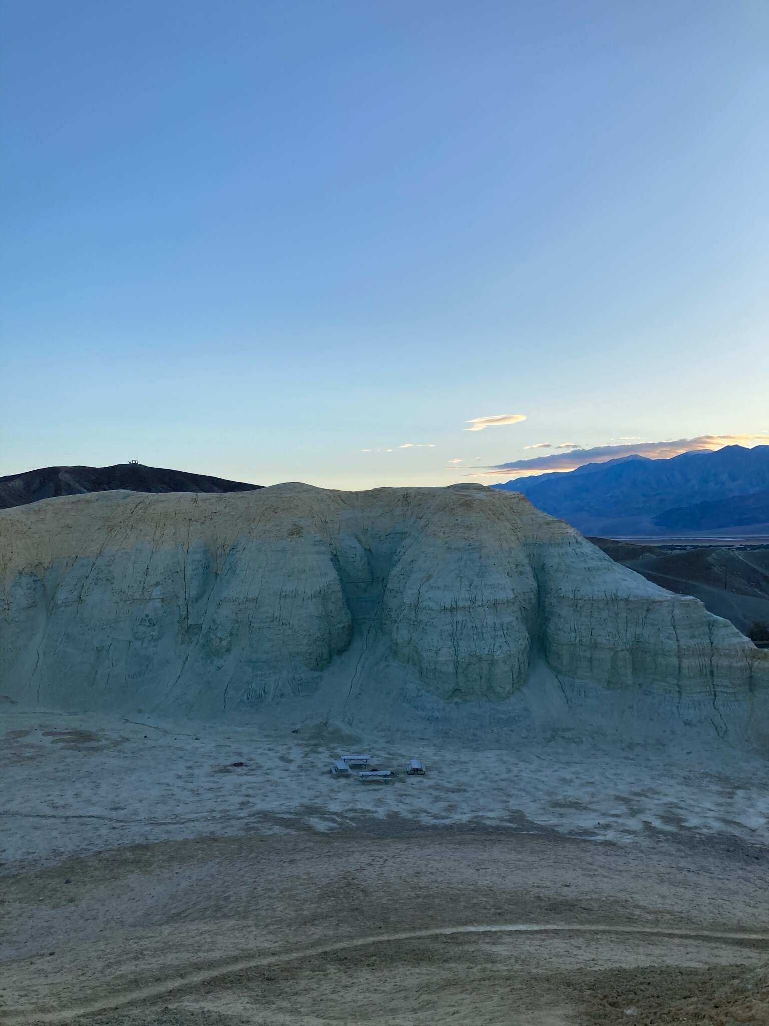
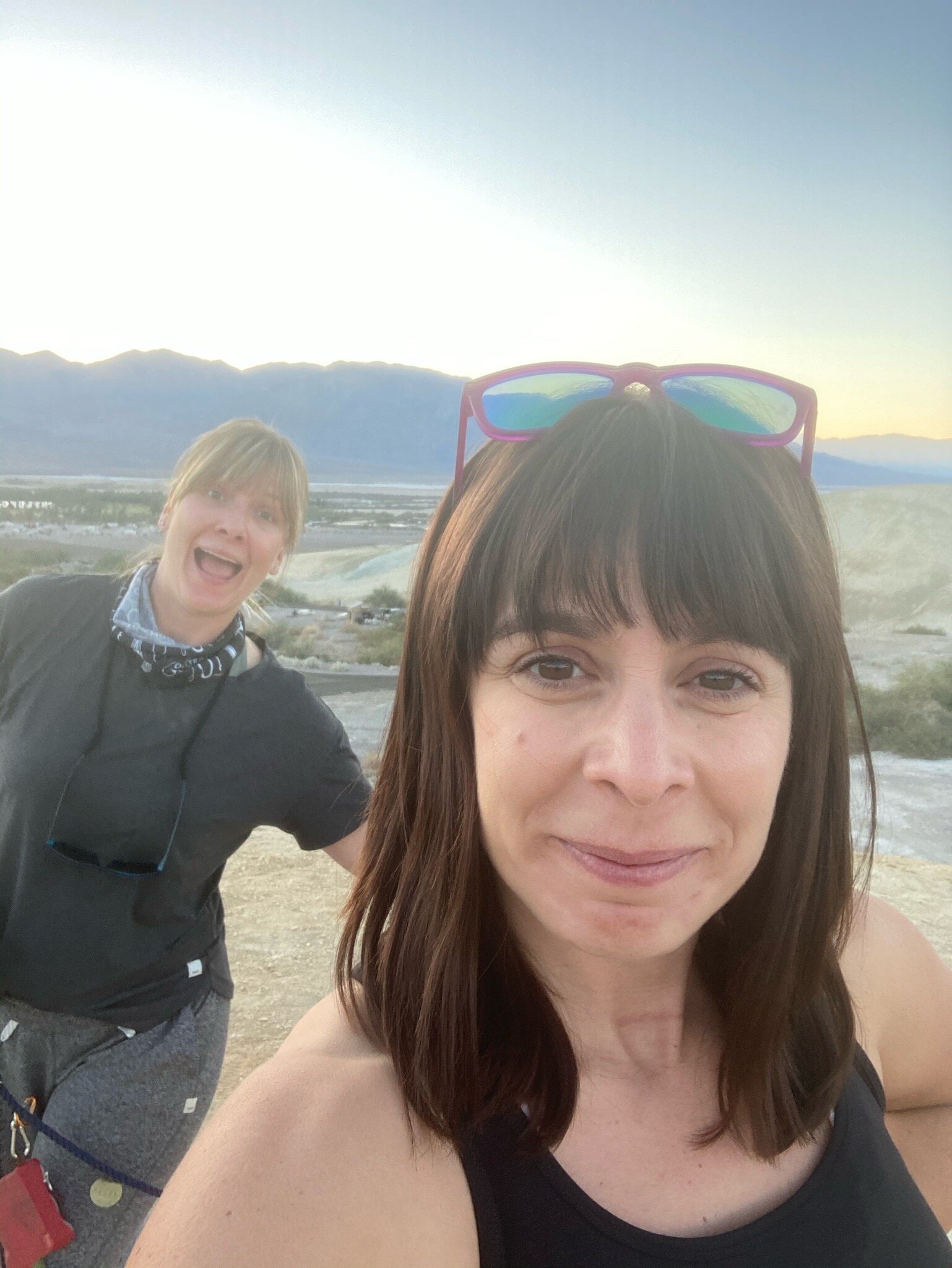
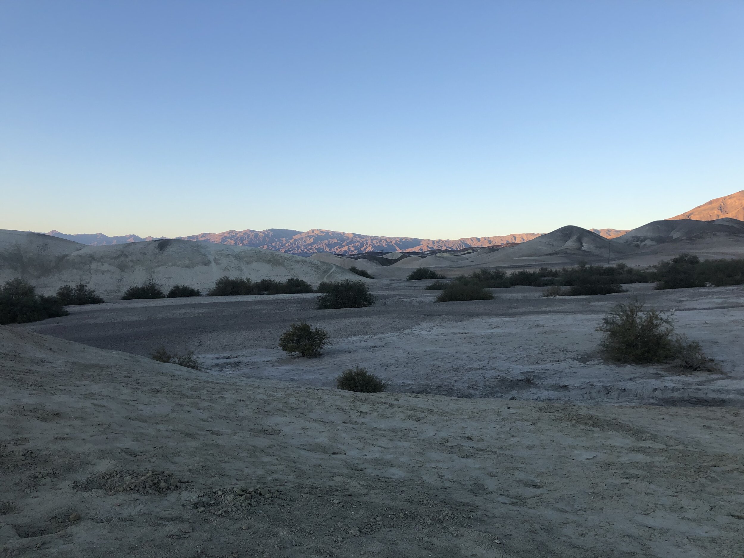
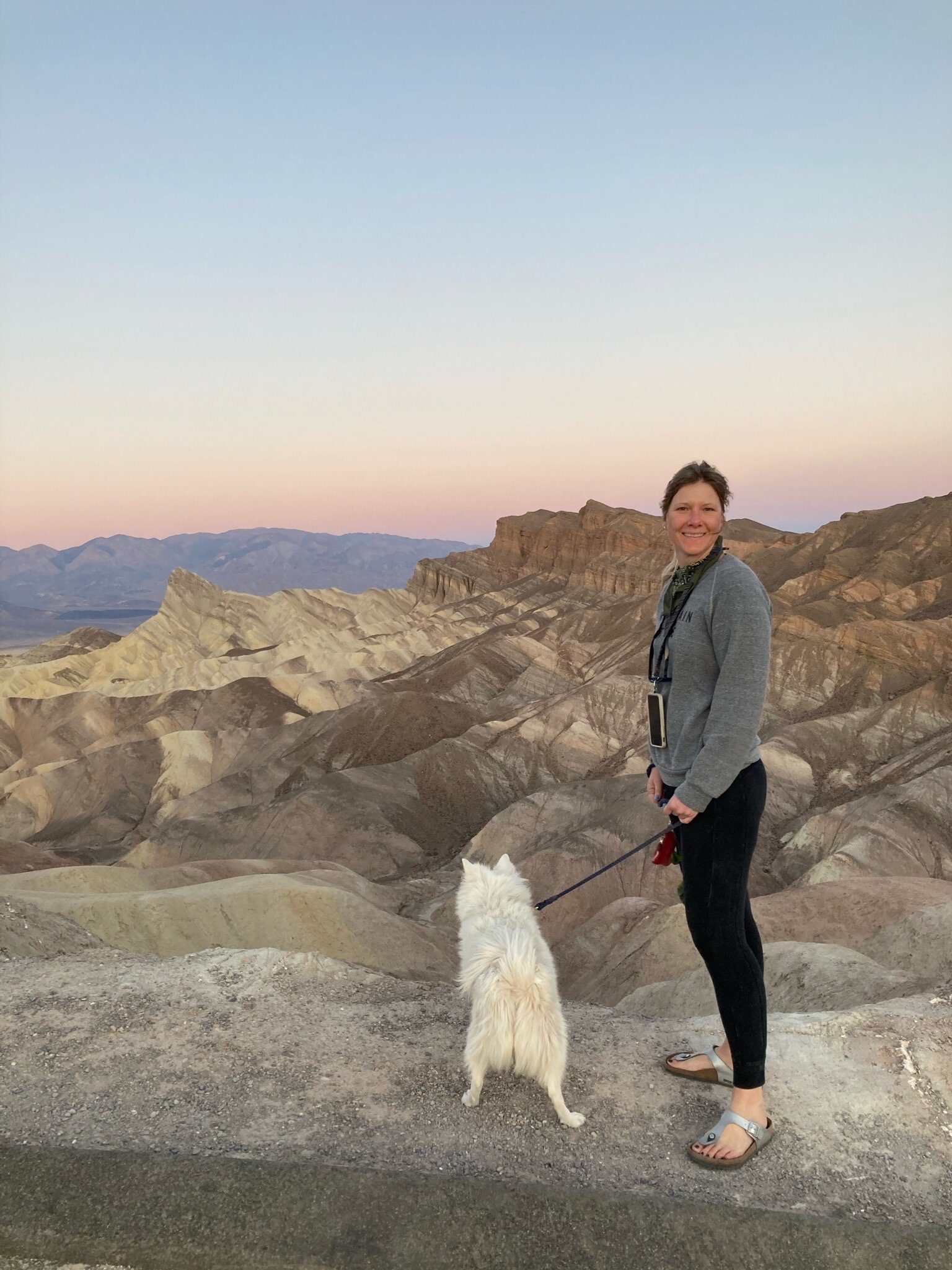
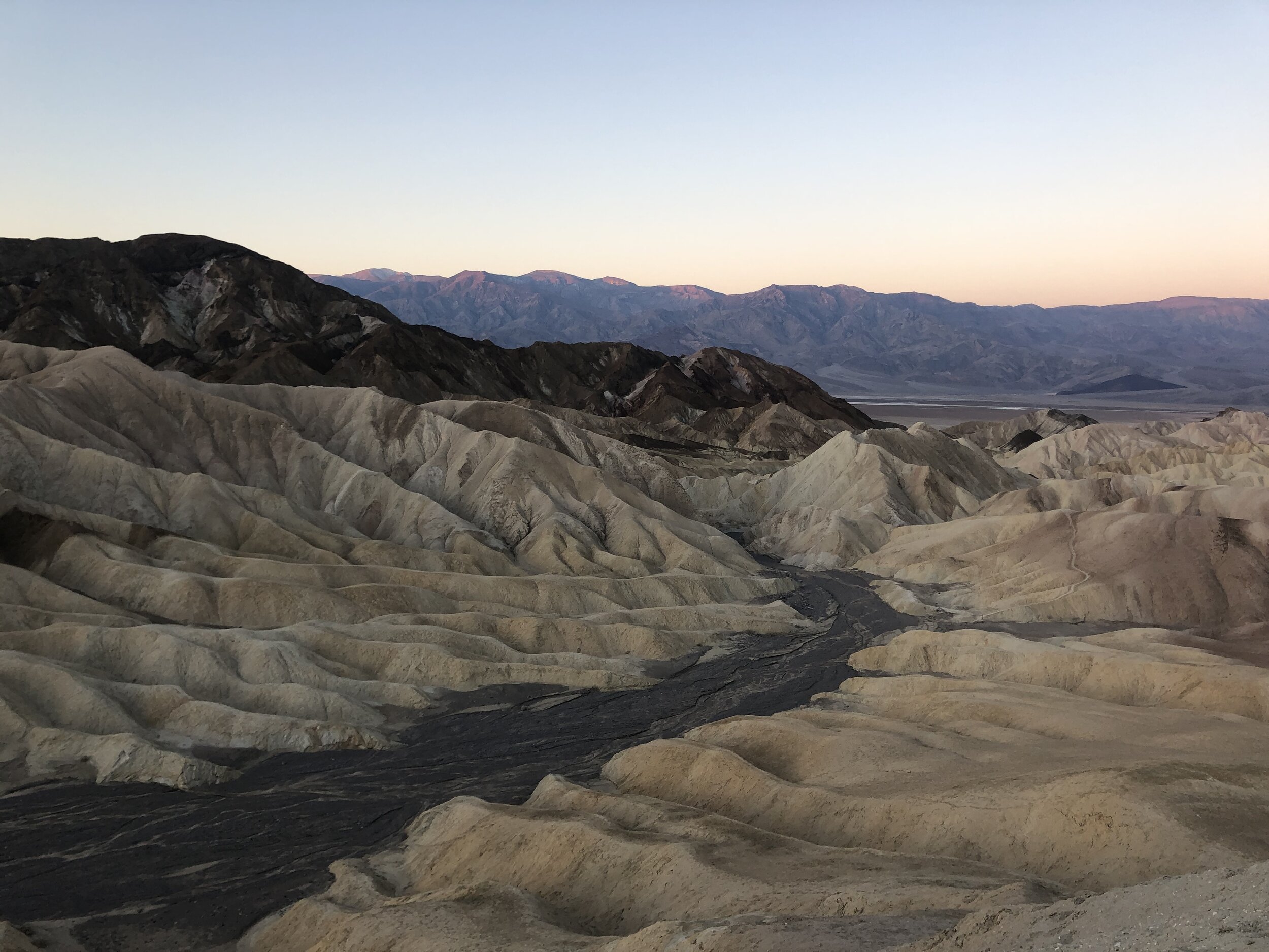
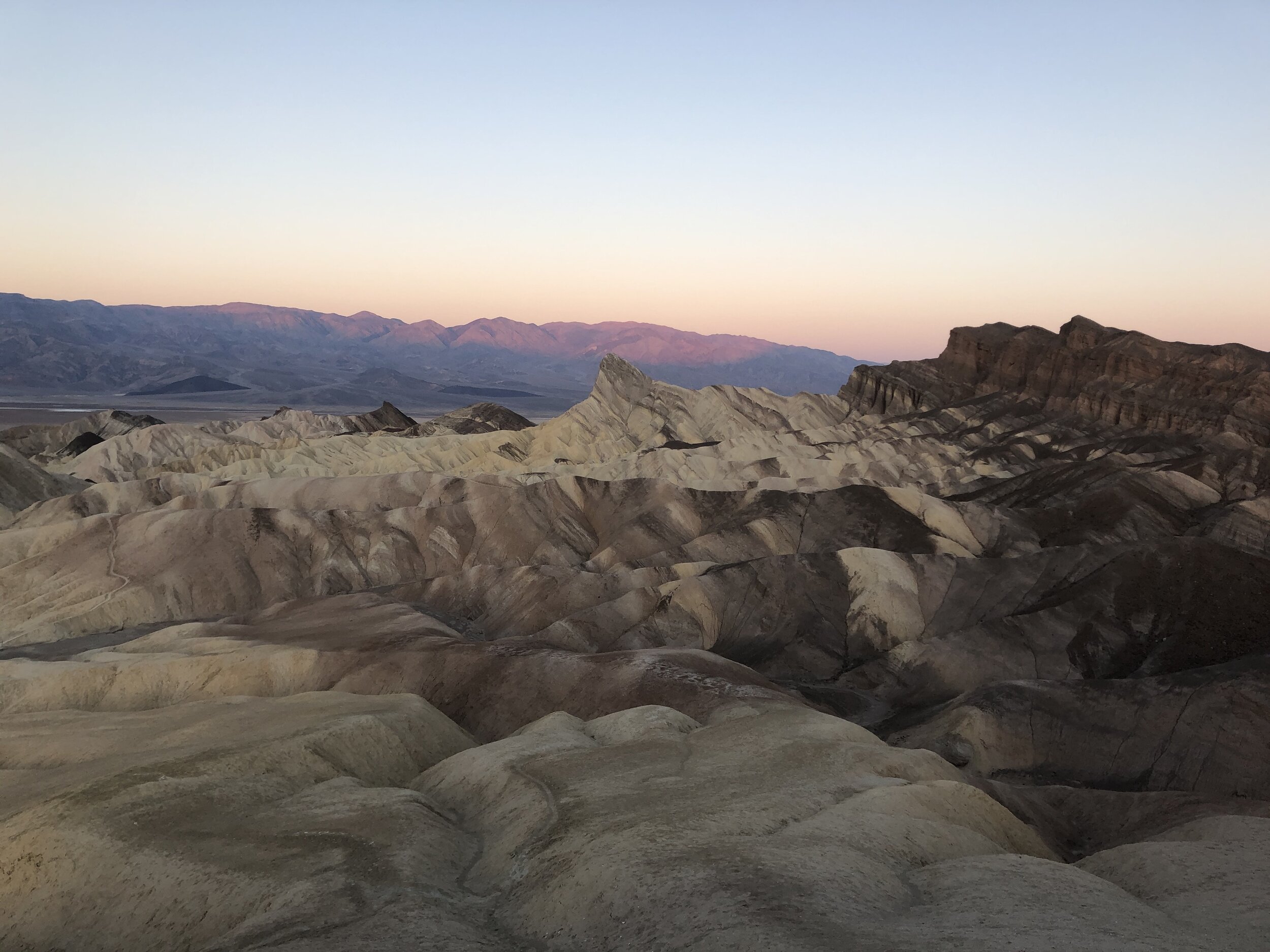
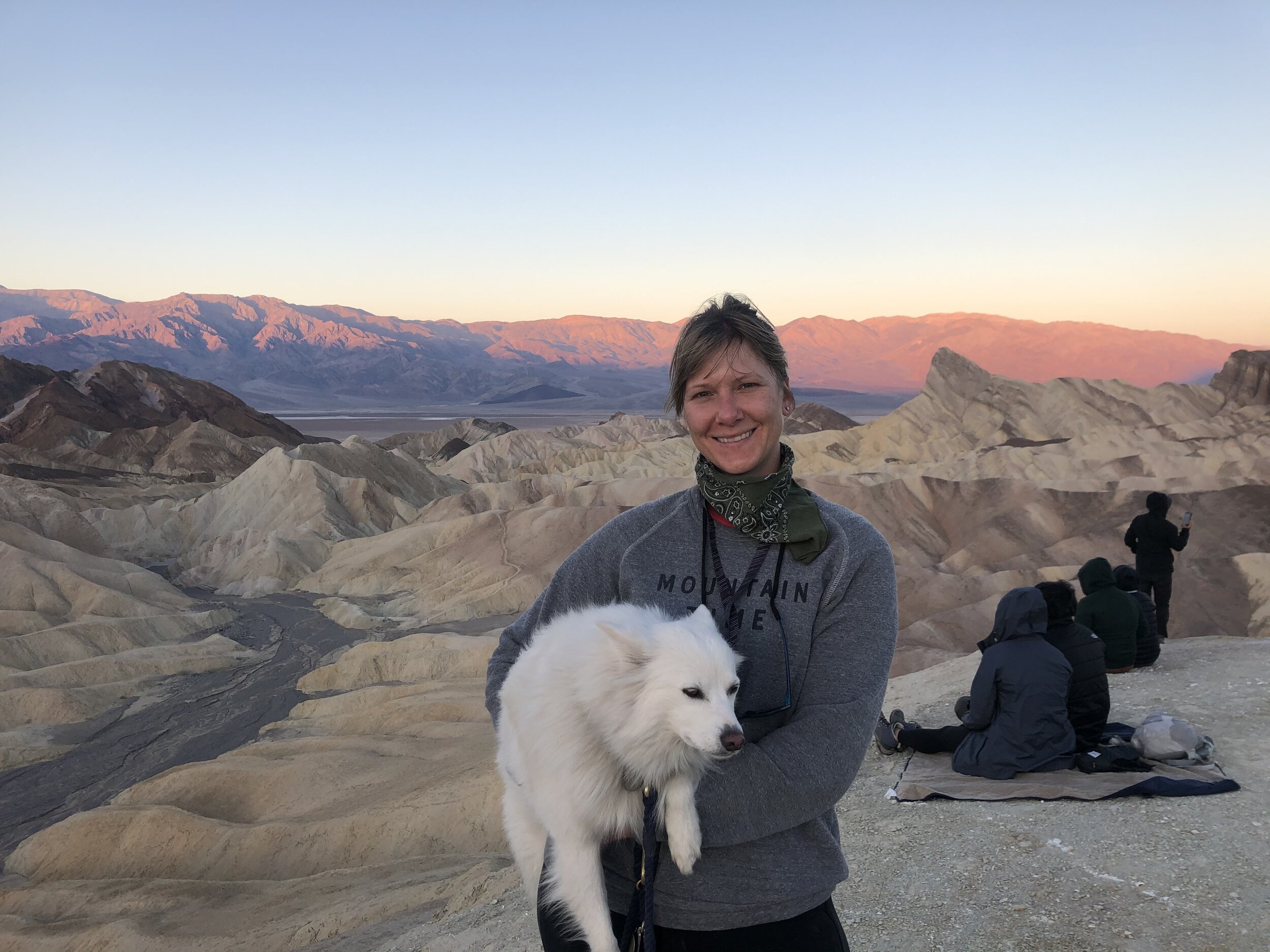
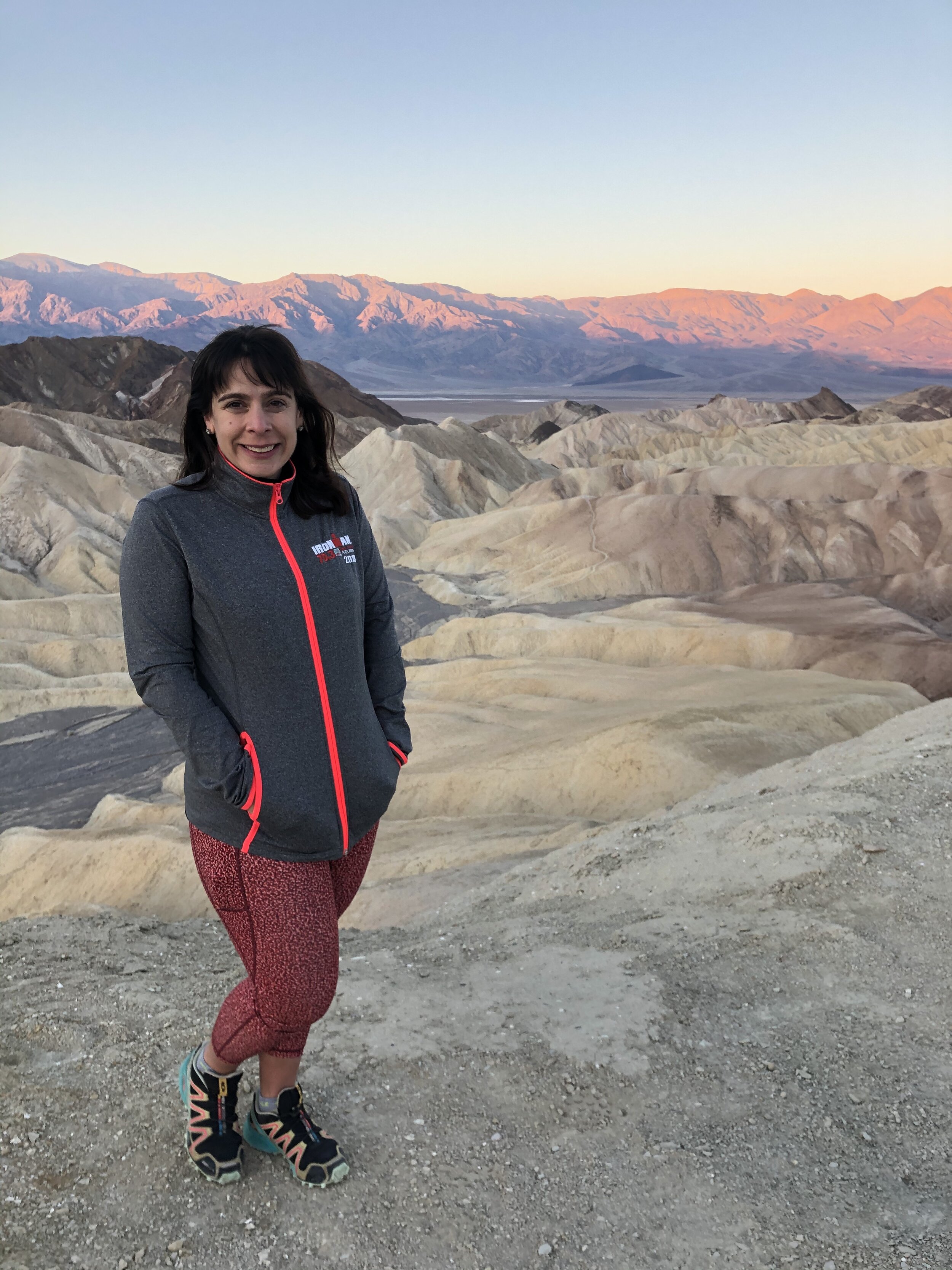
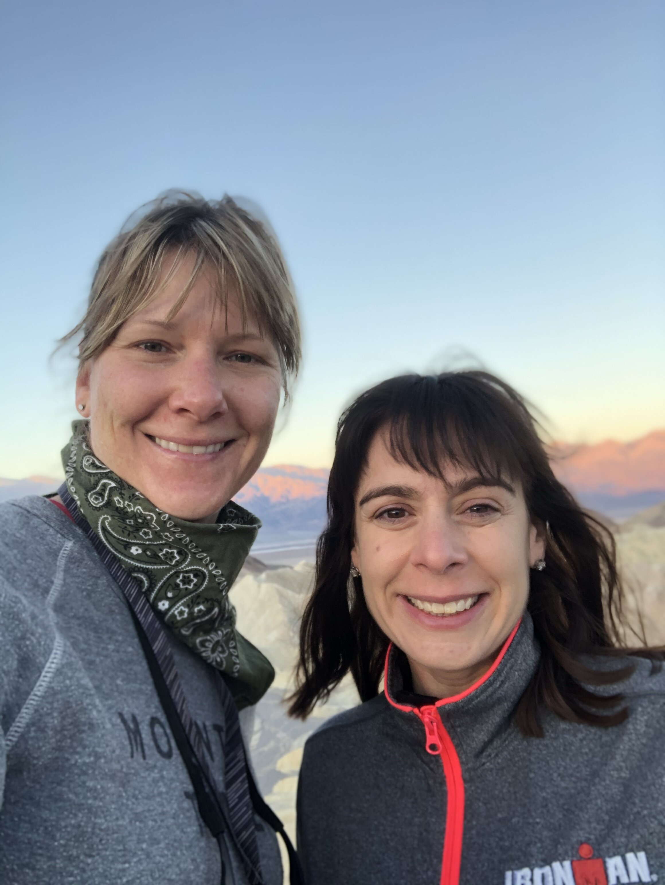
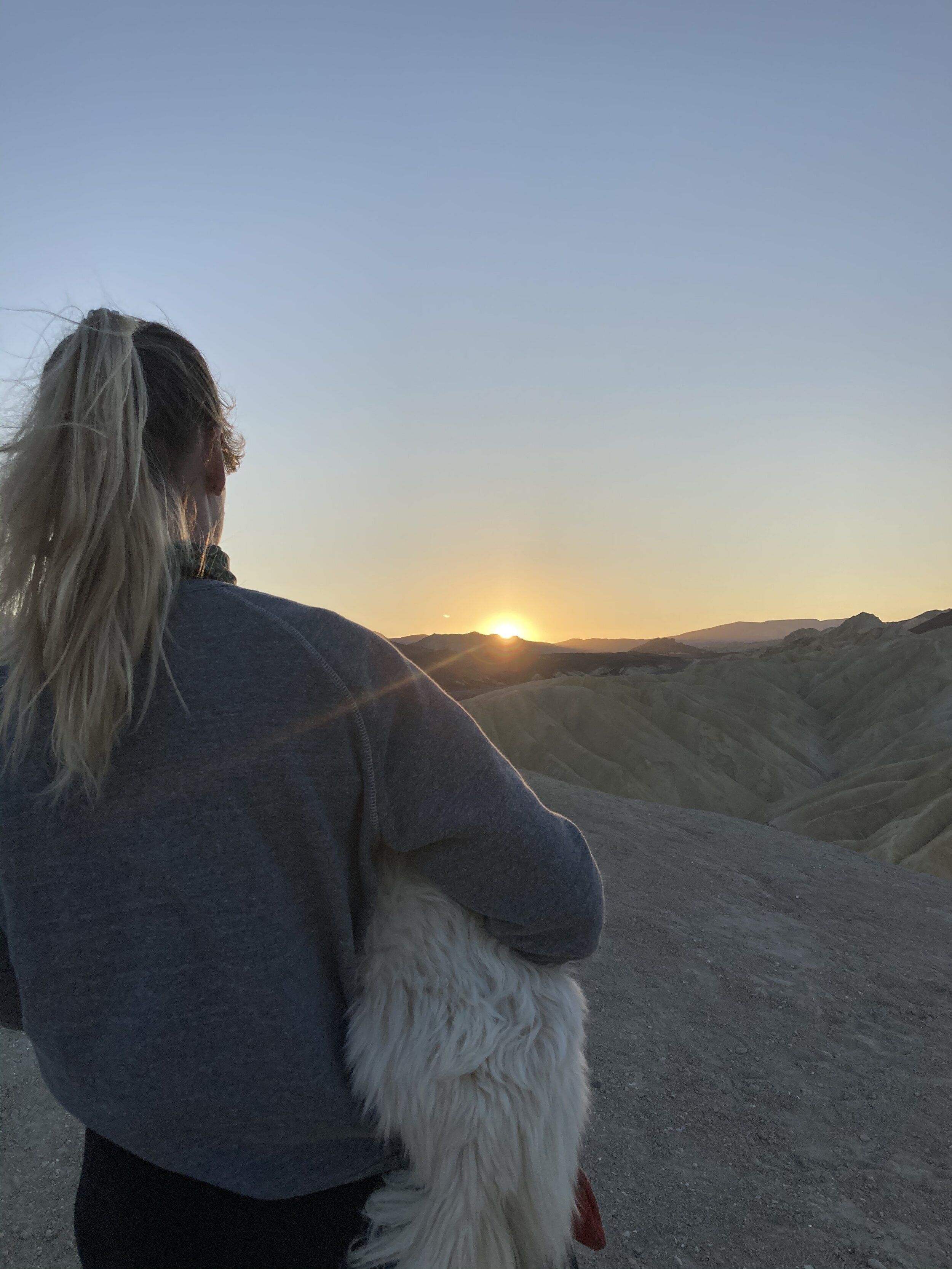
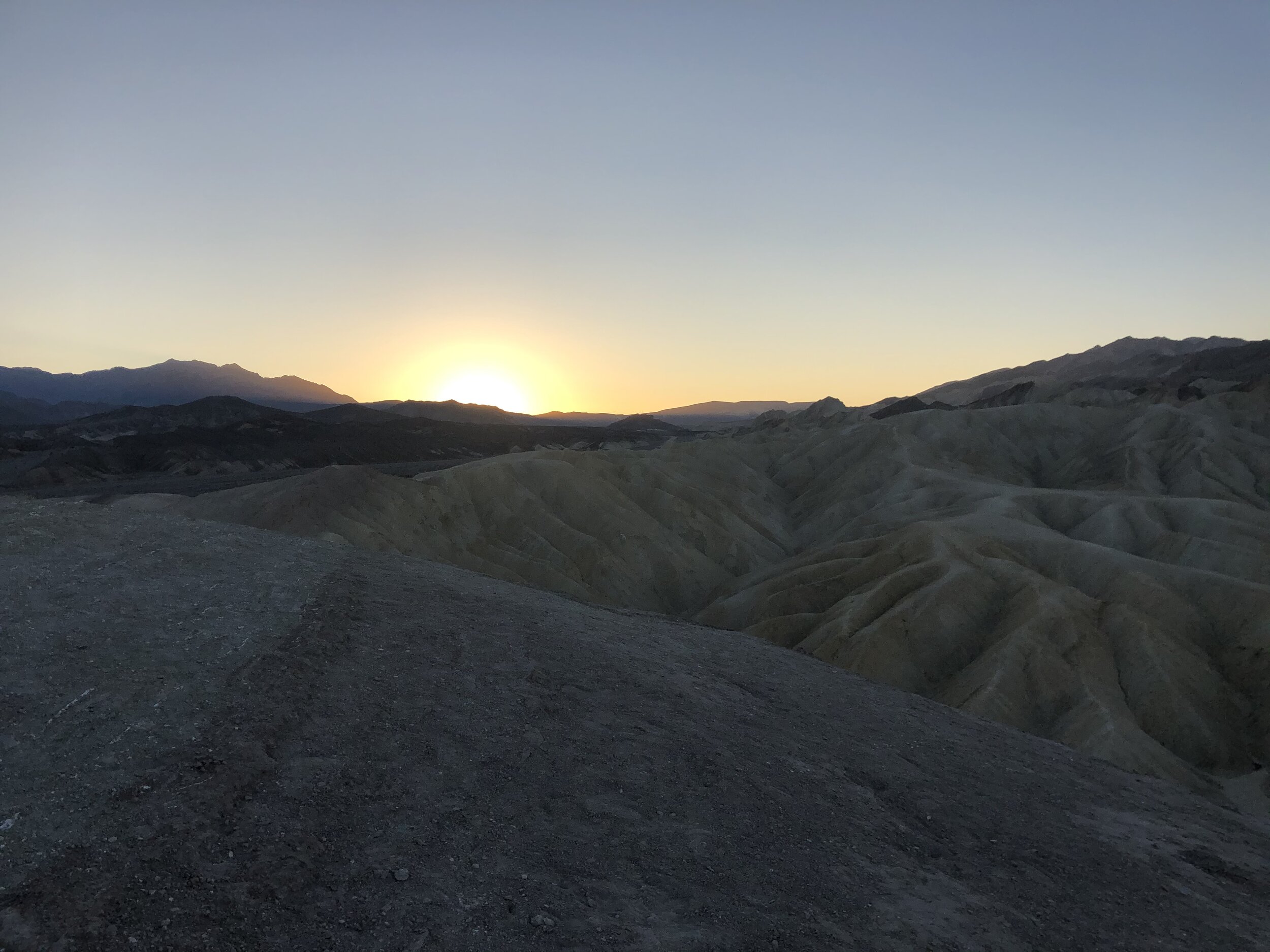
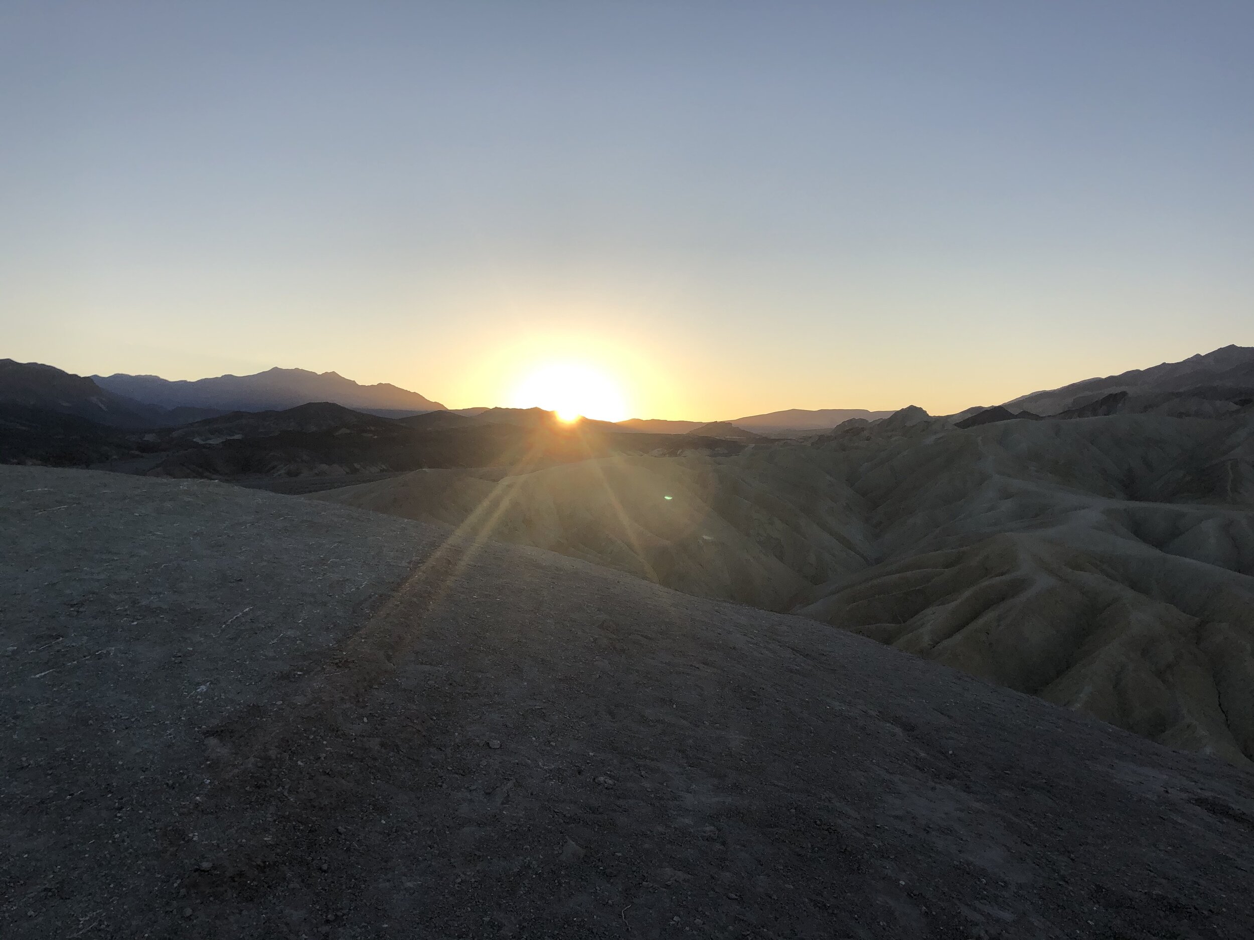
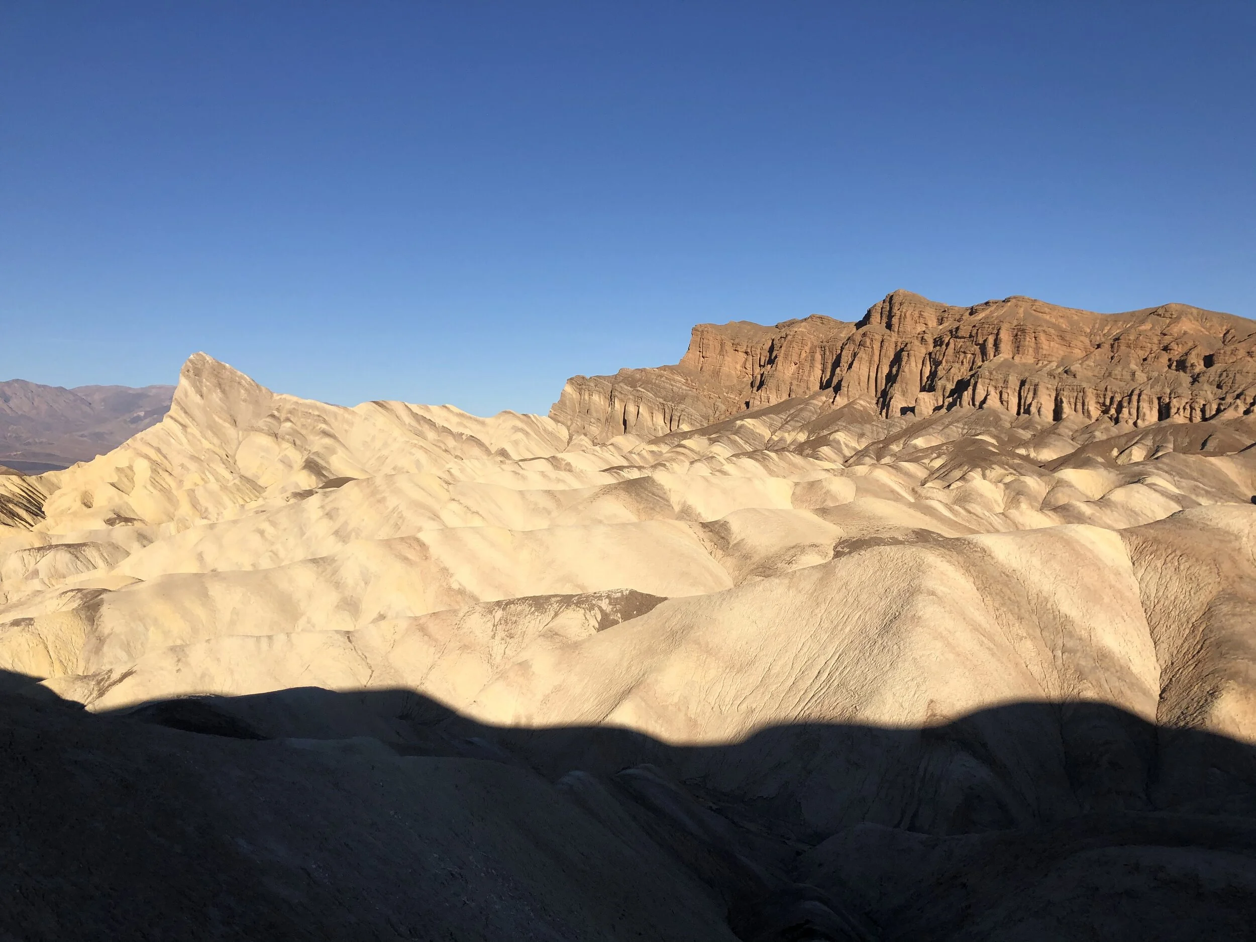
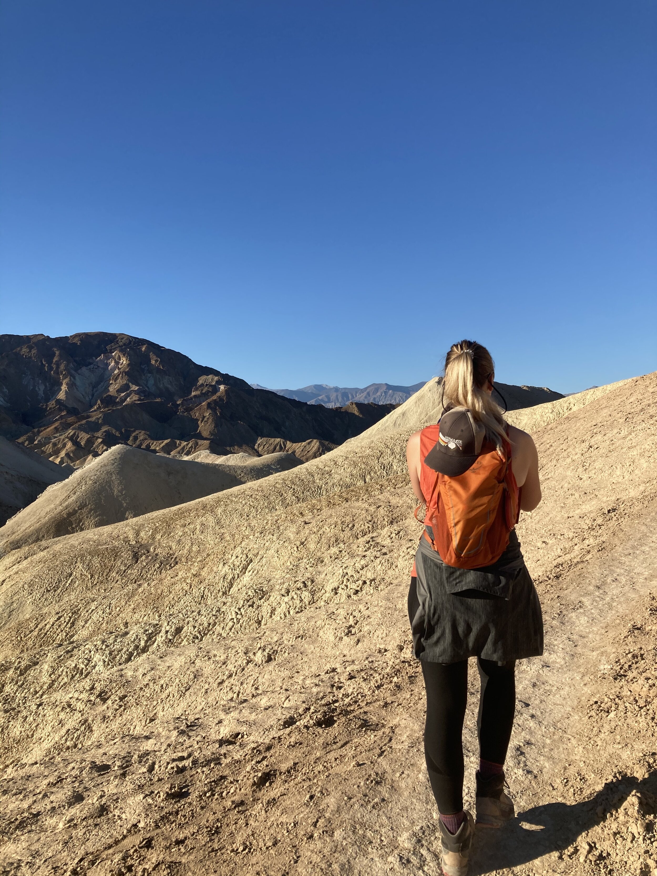
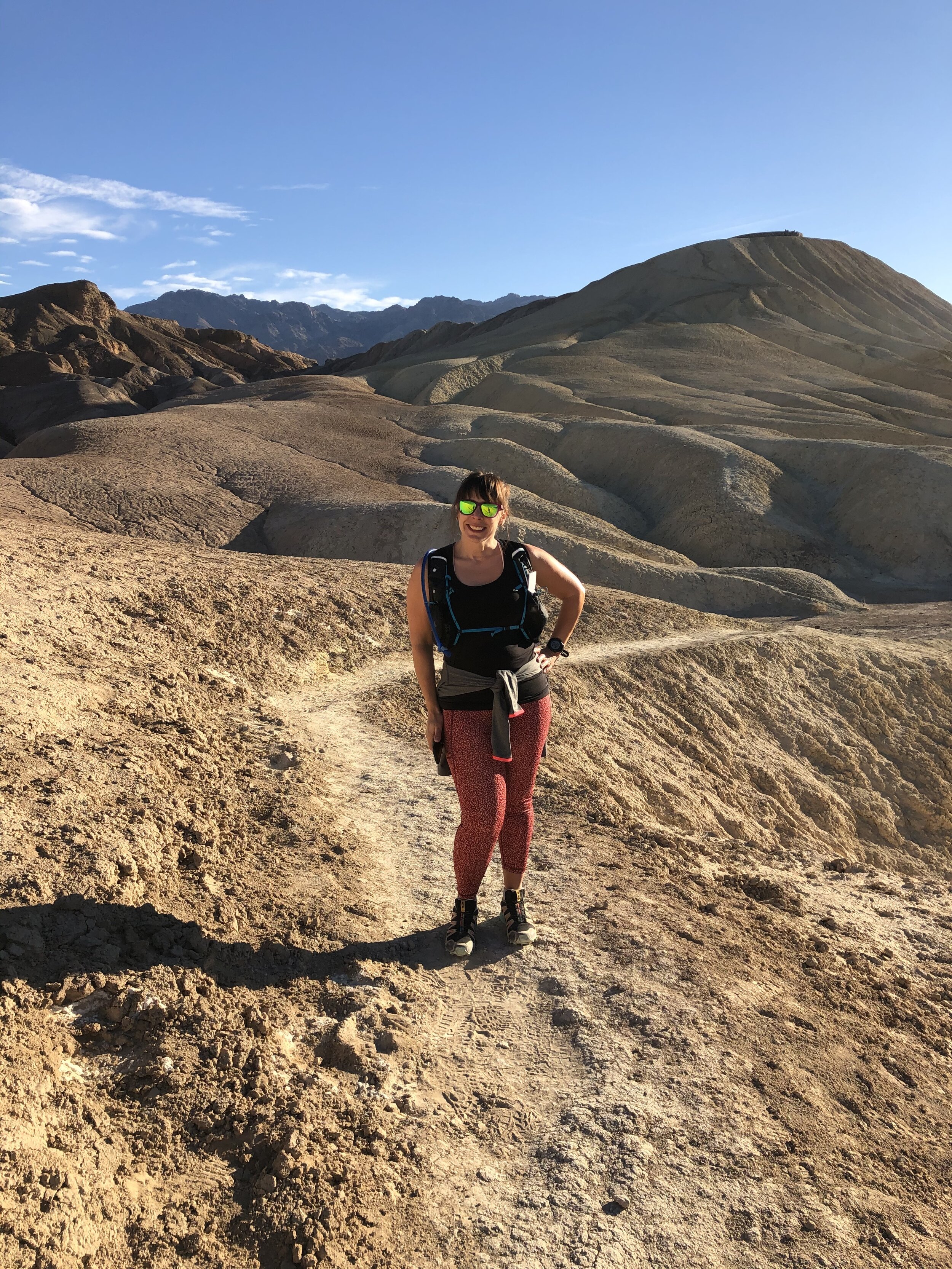
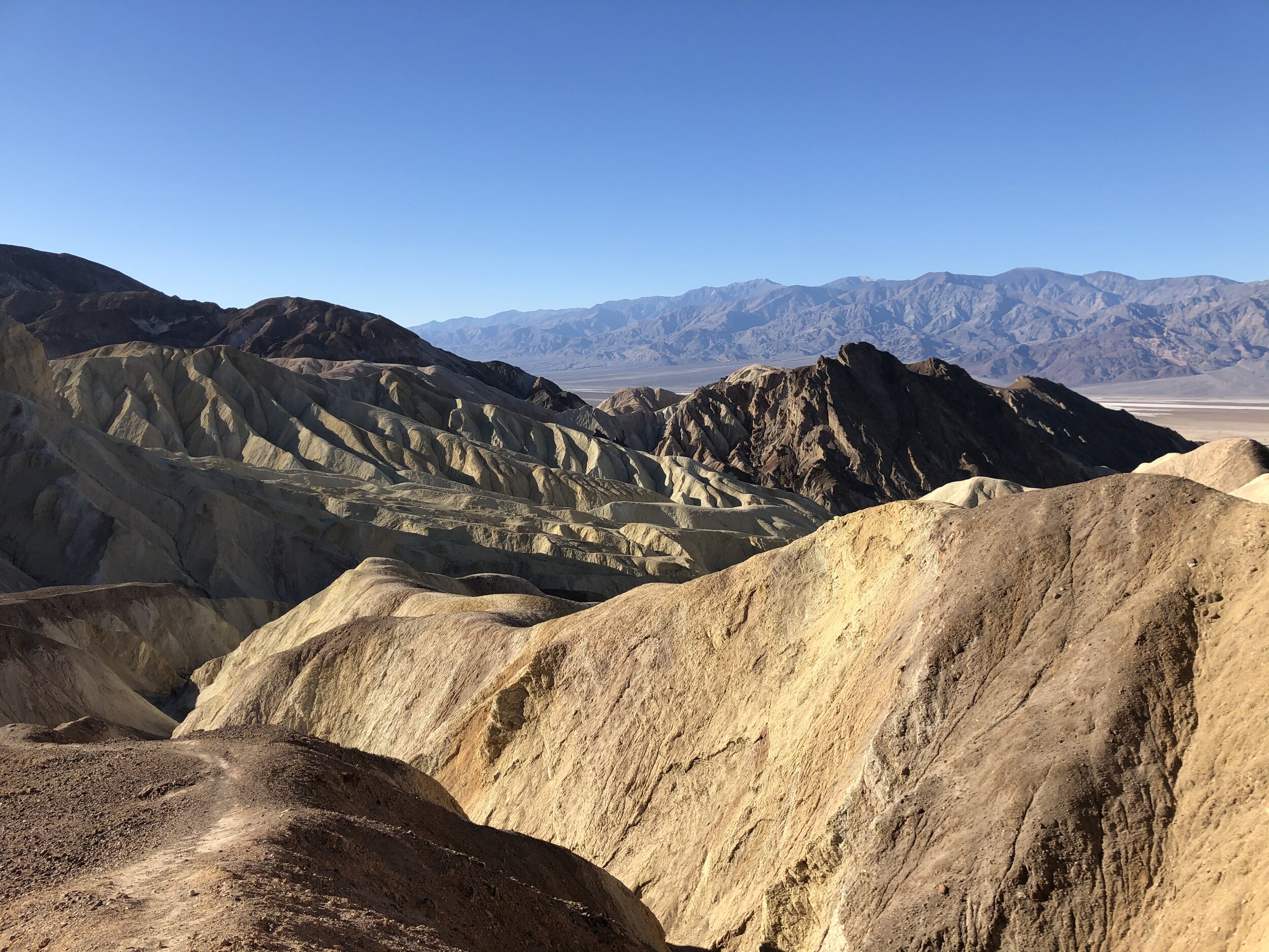
Per Amanda’s request (and given she is an early bird), we got up the next morning for the sunrise at Zabriskie Point. We weren’t the only ones with this idea, but that didn’t take away from the daybreak beauty. THIS is why the song, America the Beautiful, talks about purple mountains…

IMG_2929.jpg
IMG_0126.jpg
IMG_2920.jpg
IMG_2921.jpg
IMG_2923.jpg
IMG_2934.jpg
IMG_2937.jpg
IMG_2942.jpg
IMG_2948.jpg
IMG_2949.jpg
IMG_0756.jpg
IMG_2955.jpg
IMG_2957.jpg
IMG_2929.jpg IMG_0126.jpg IMG_2920.jpg IMG_2921.jpg IMG_2923.jpg IMG_2934.jpg IMG_2937.jpg IMG_2942.jpg IMG_2948.jpg IMG_2949.jpg IMG_0756.jpg IMG_2955.jpg IMG_2957.jpg

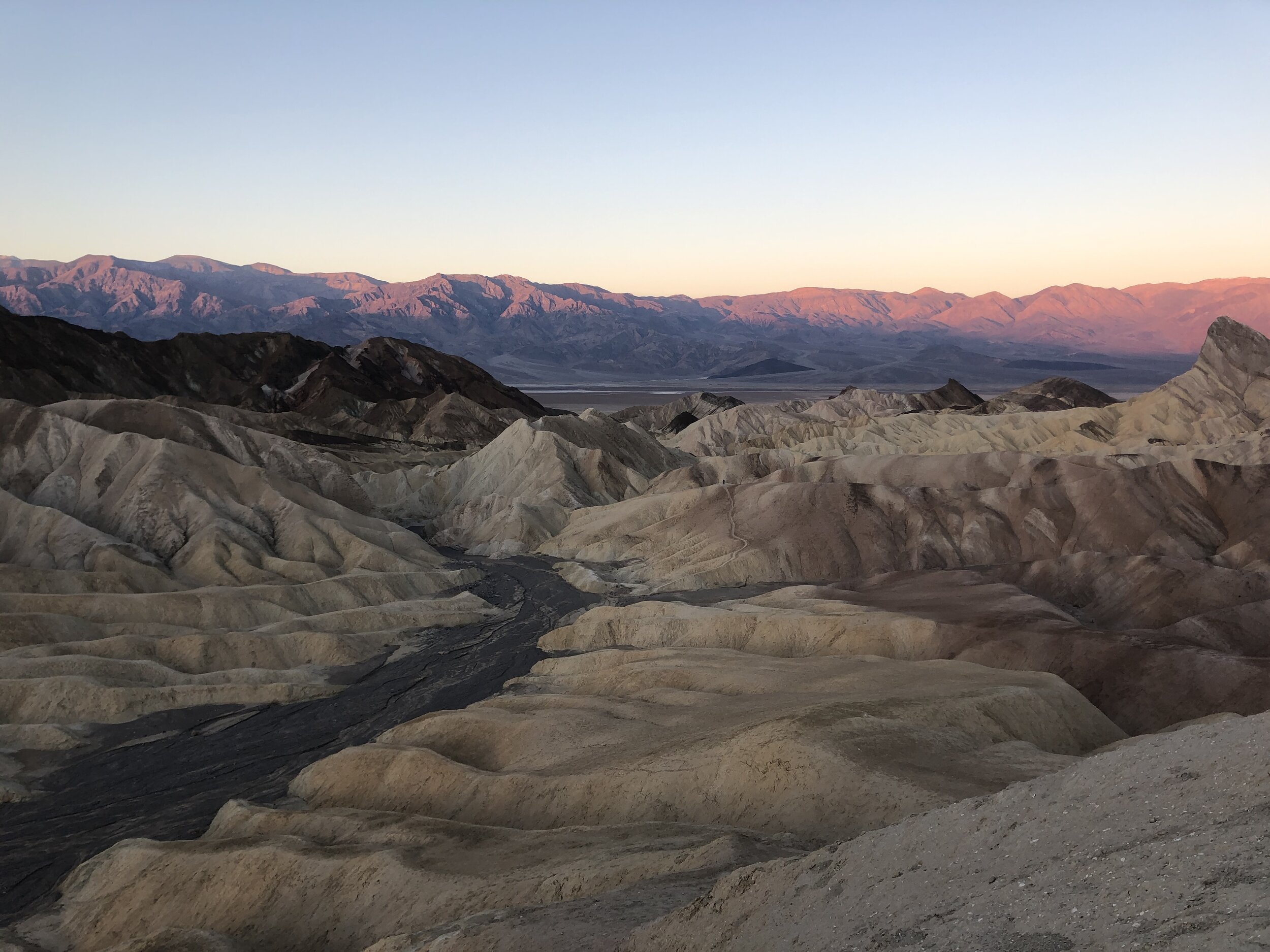
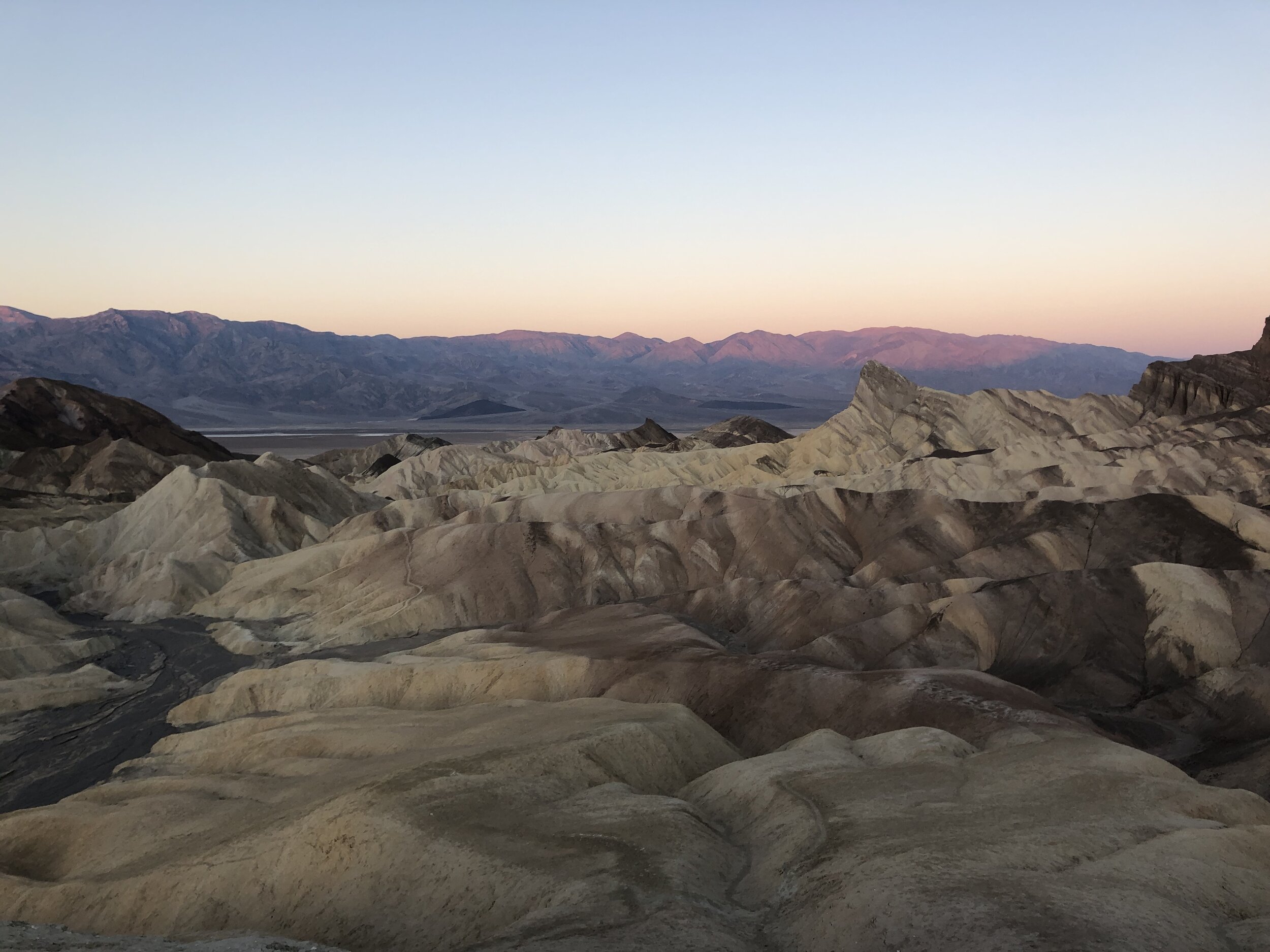
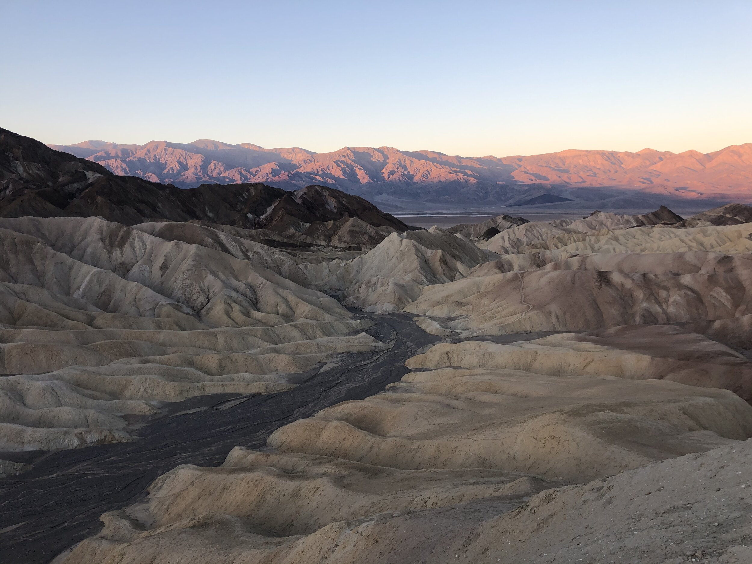
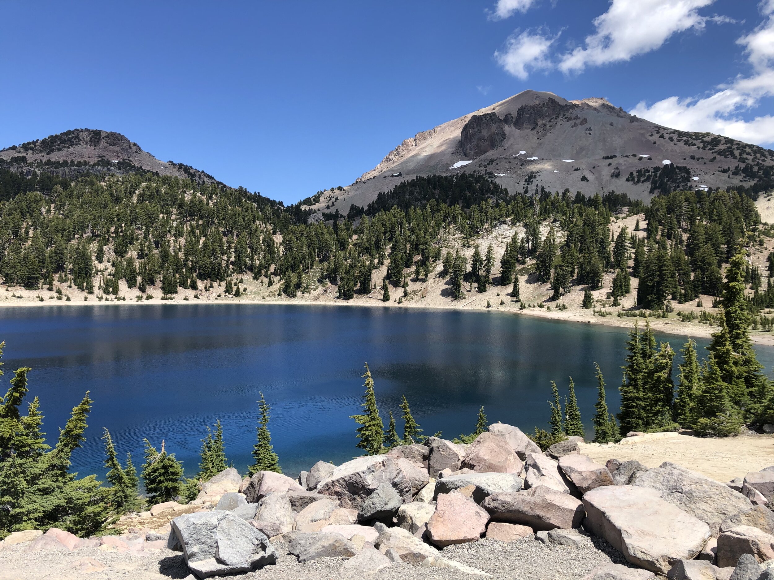
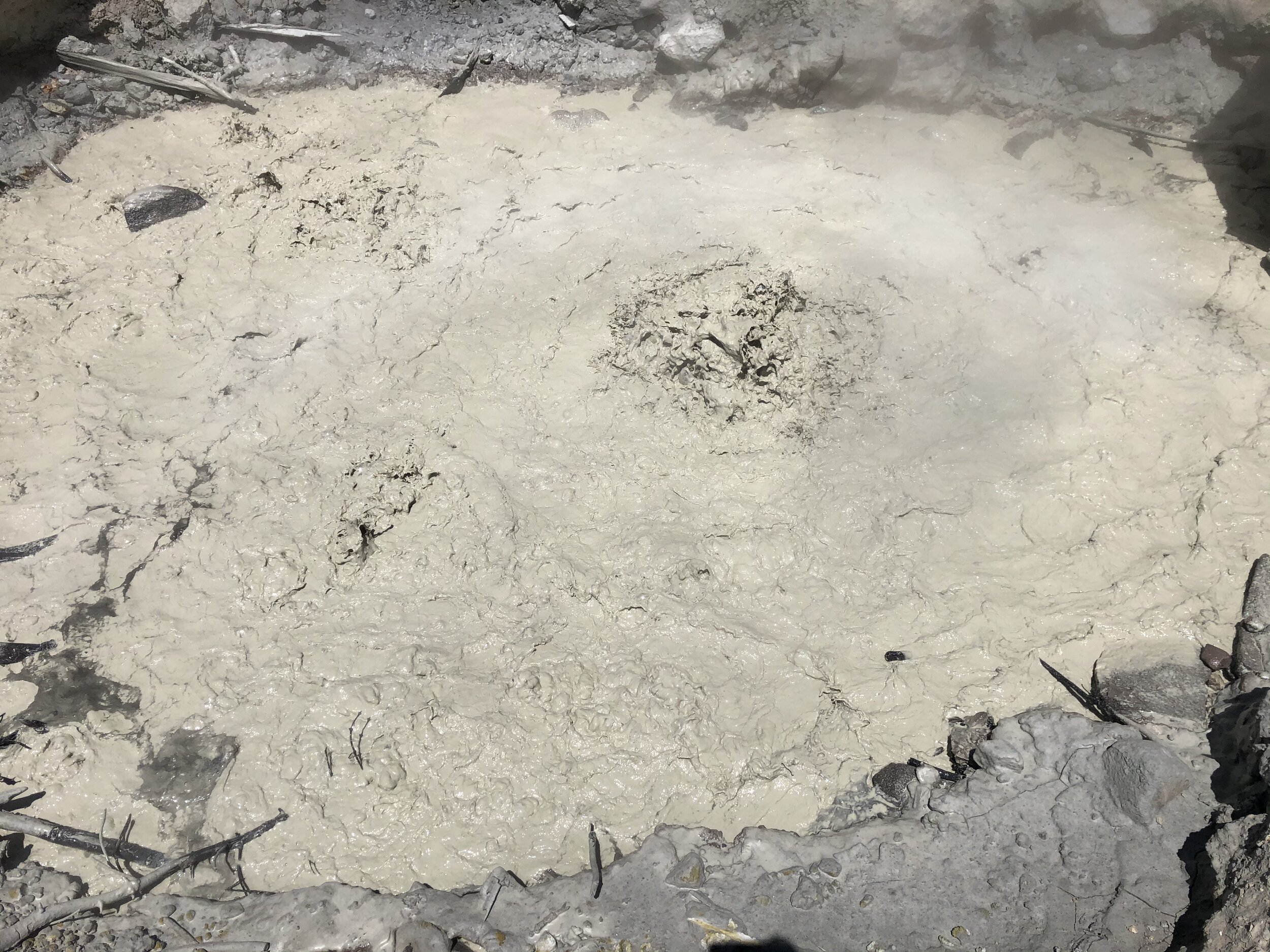
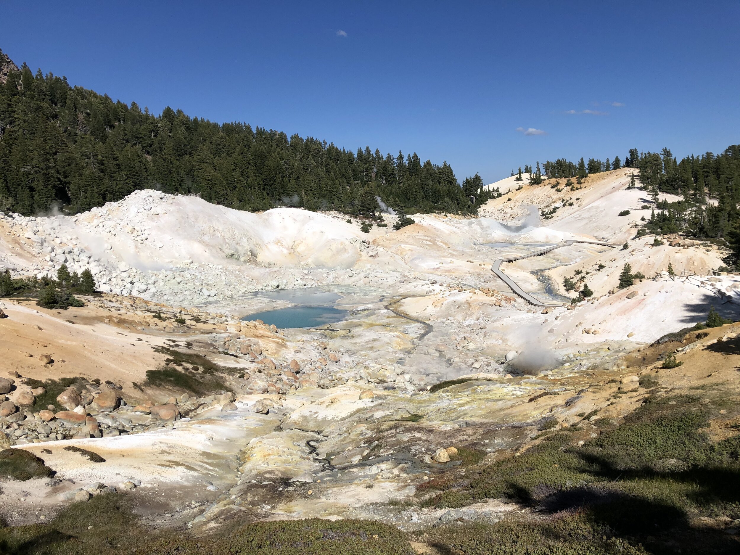
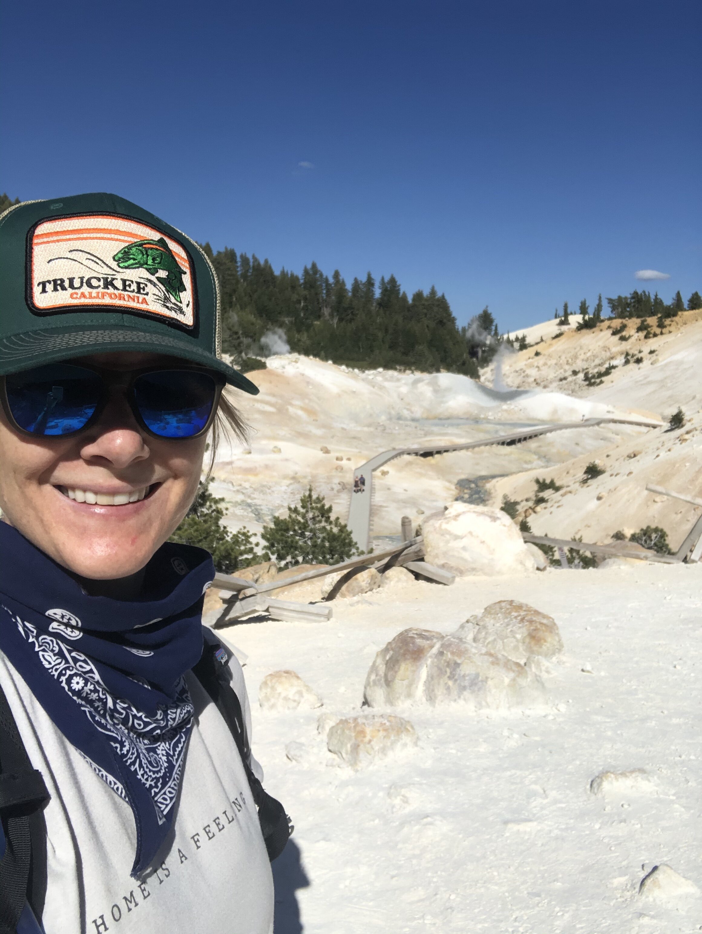
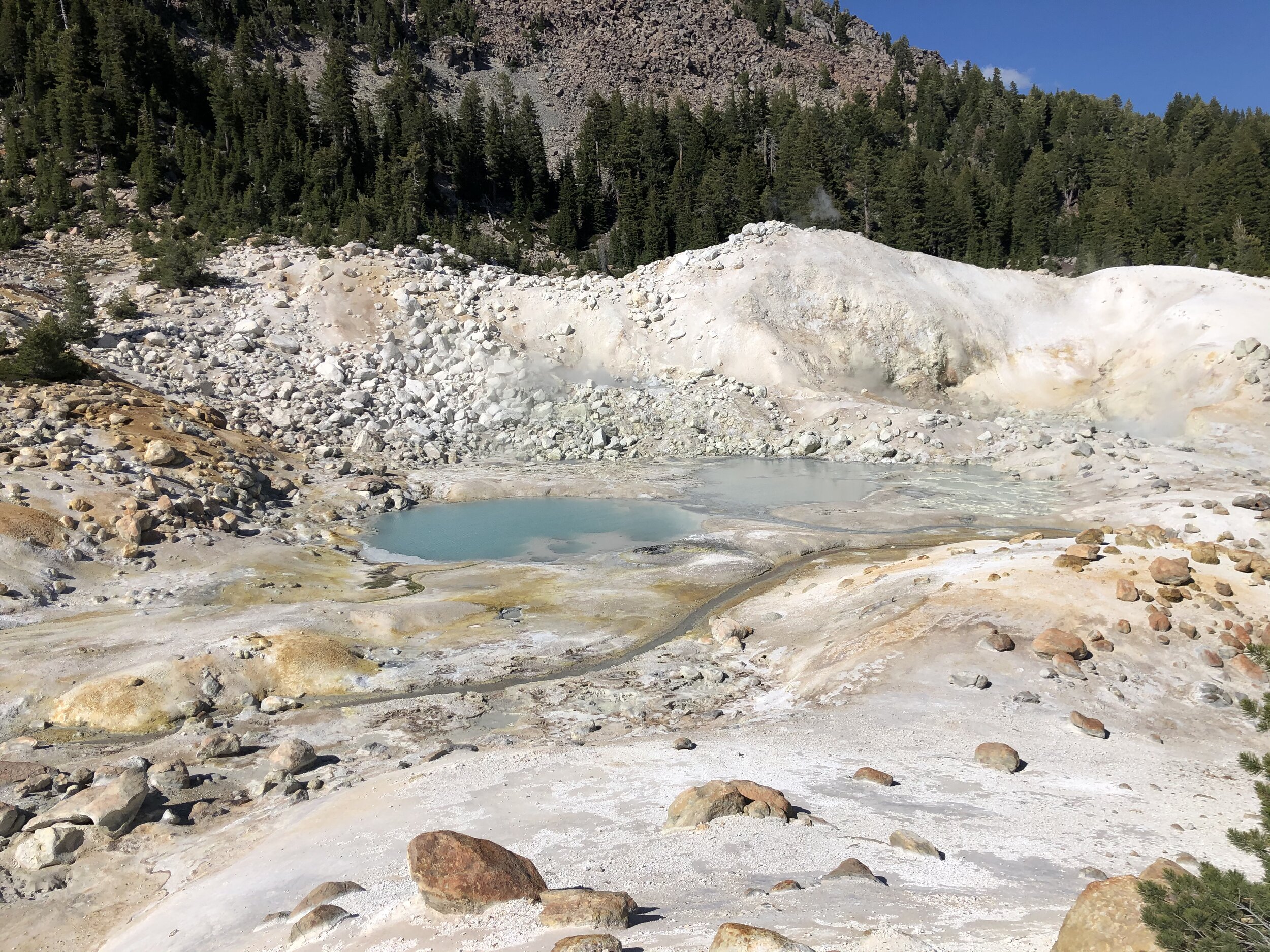
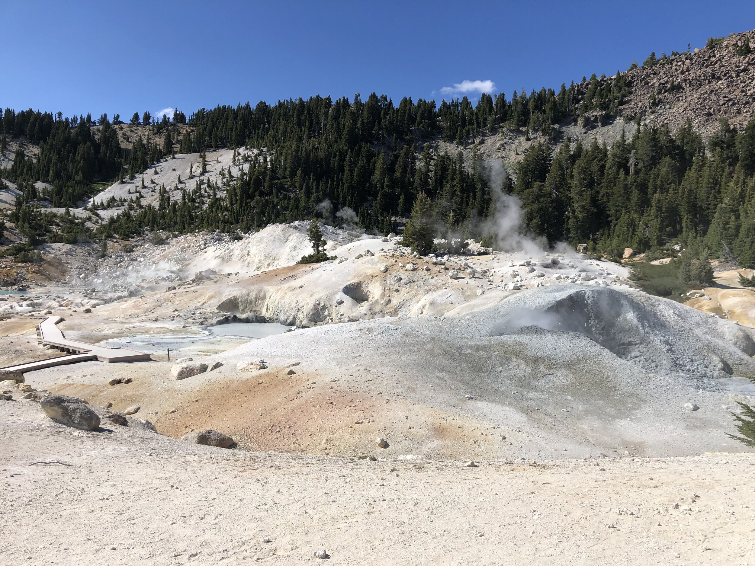
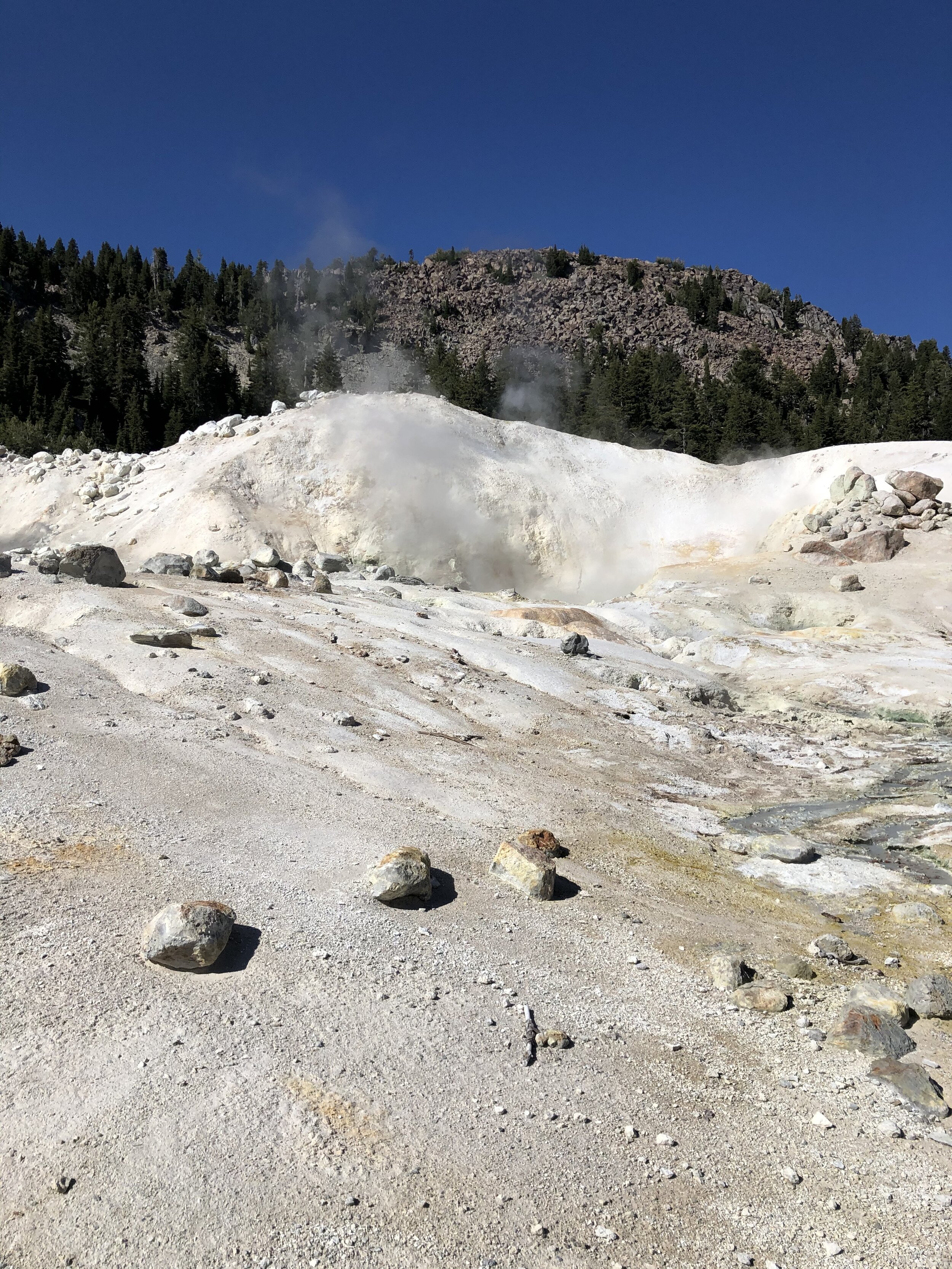
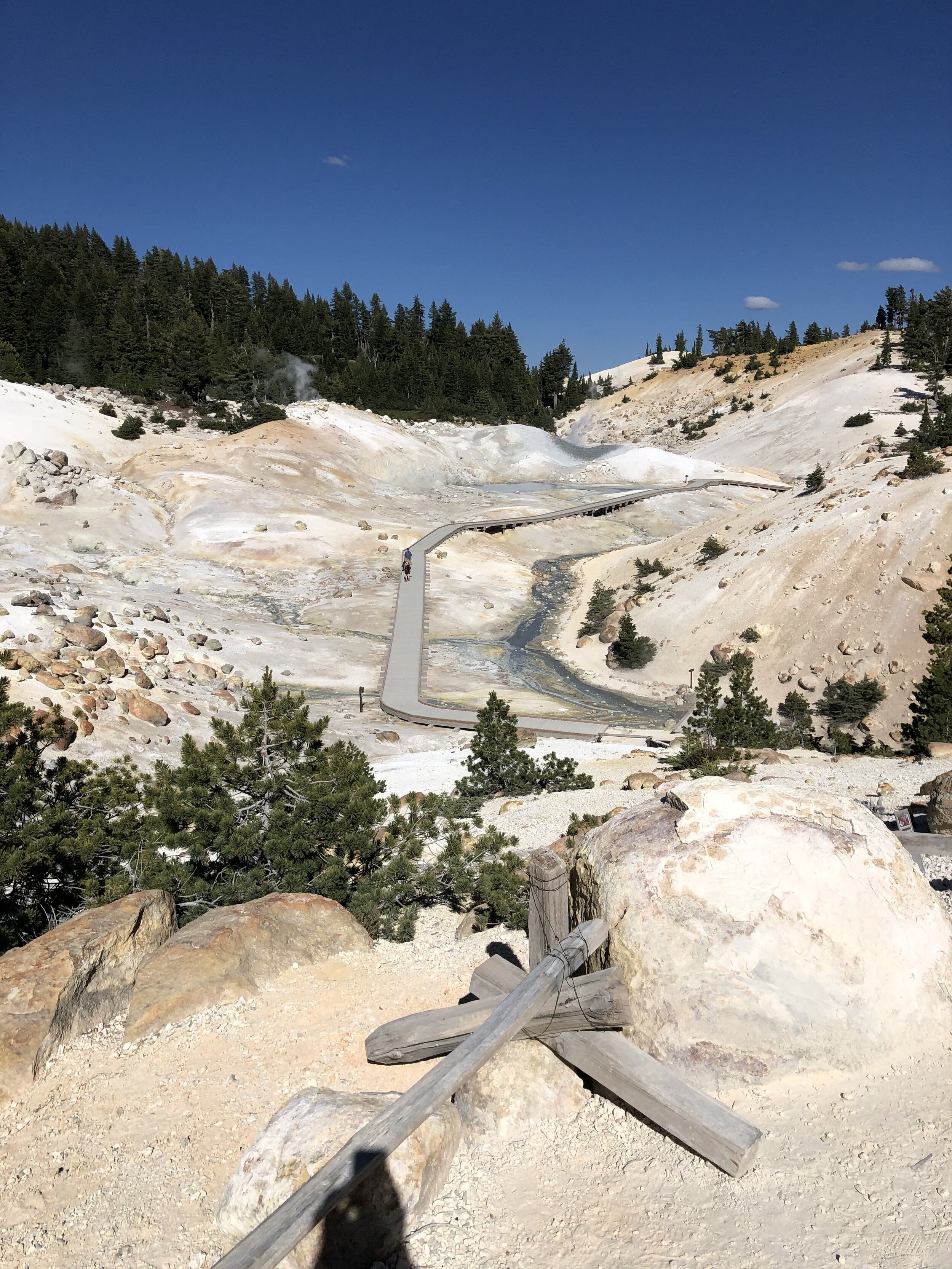
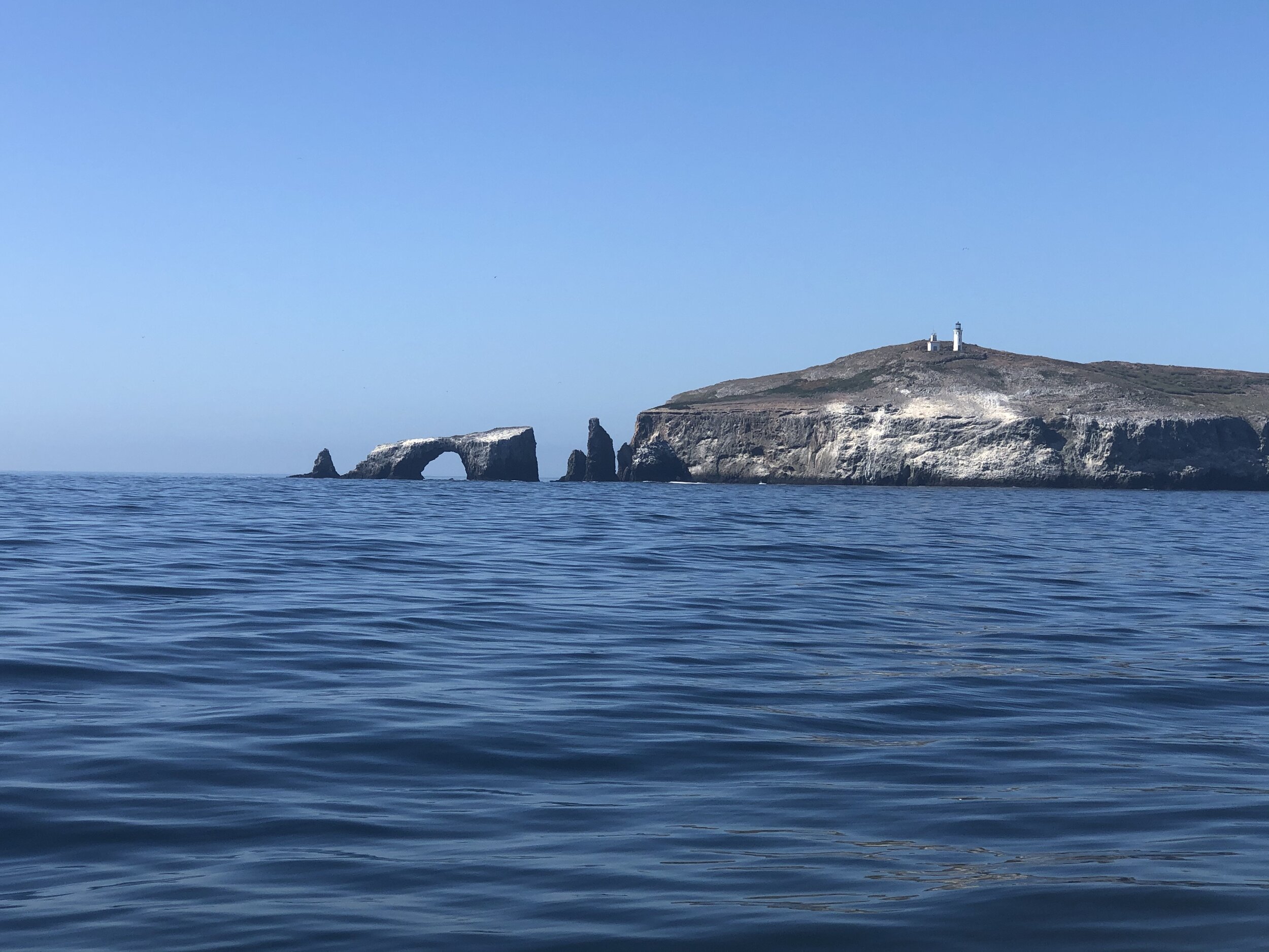
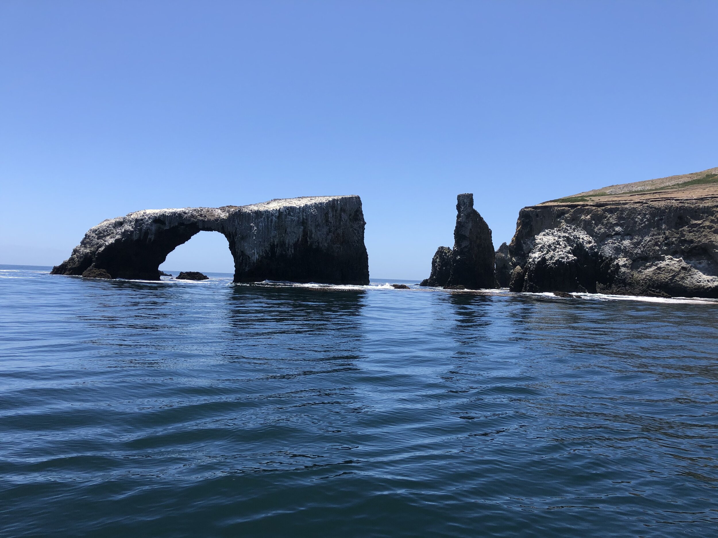
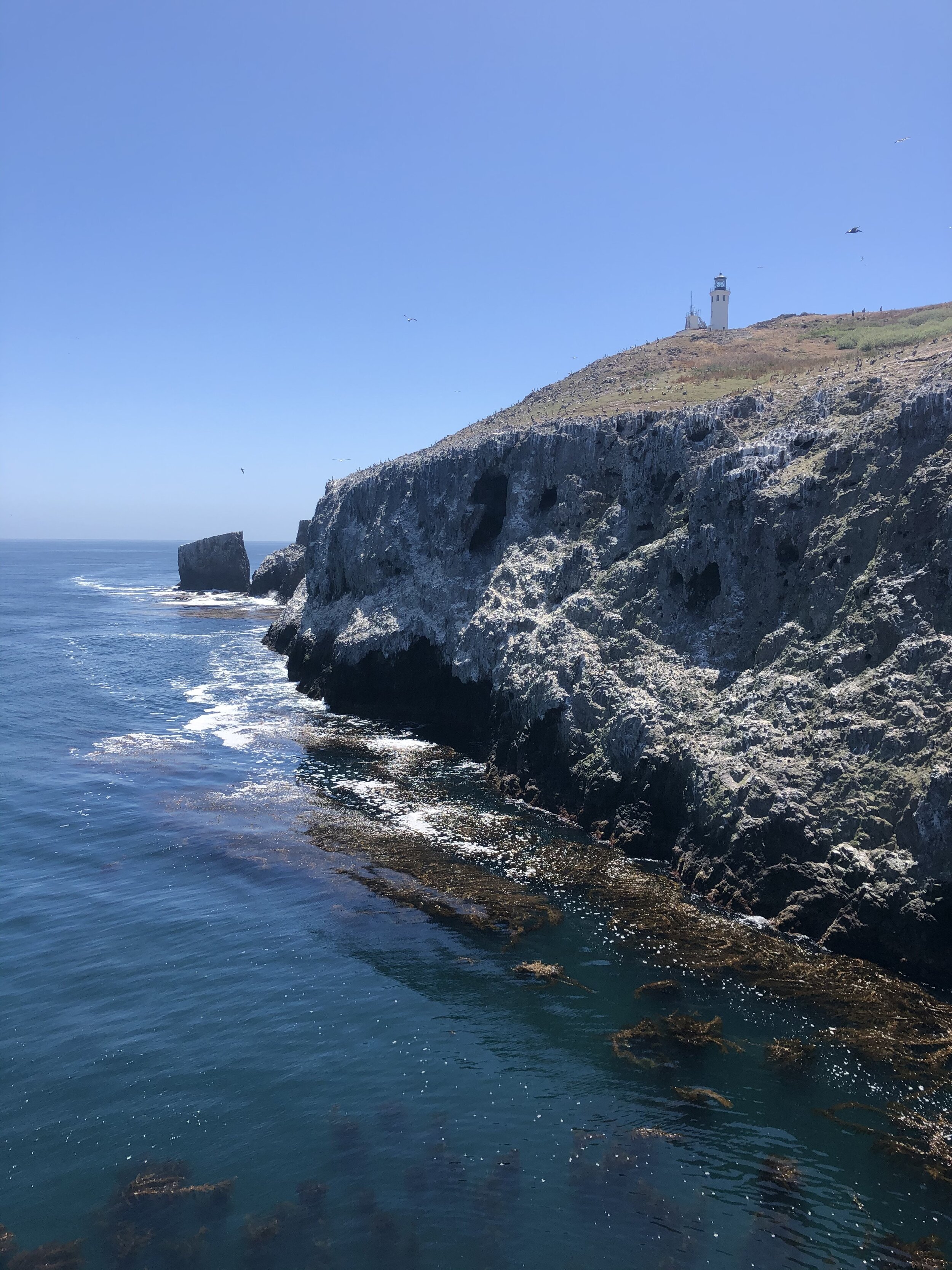
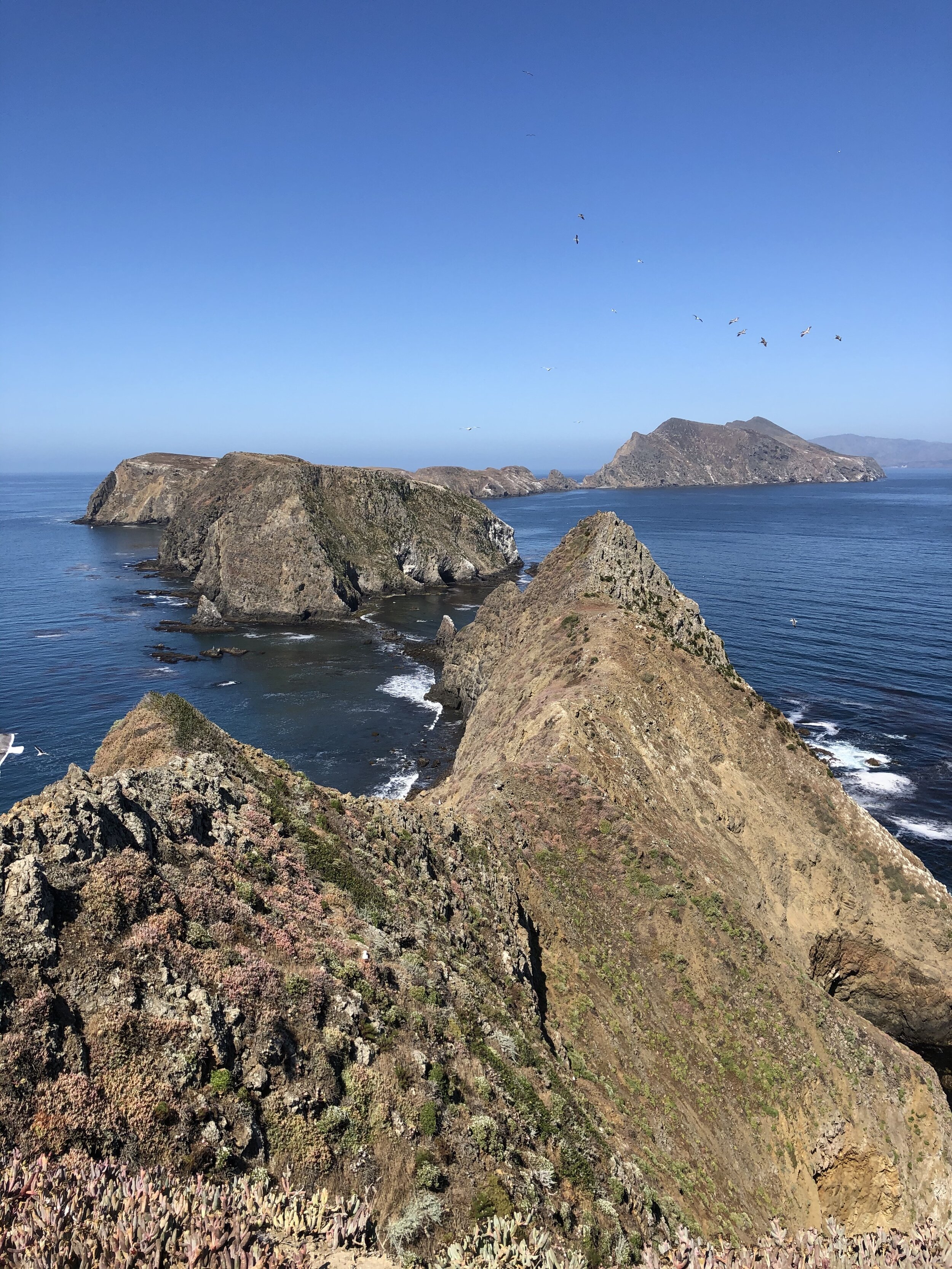
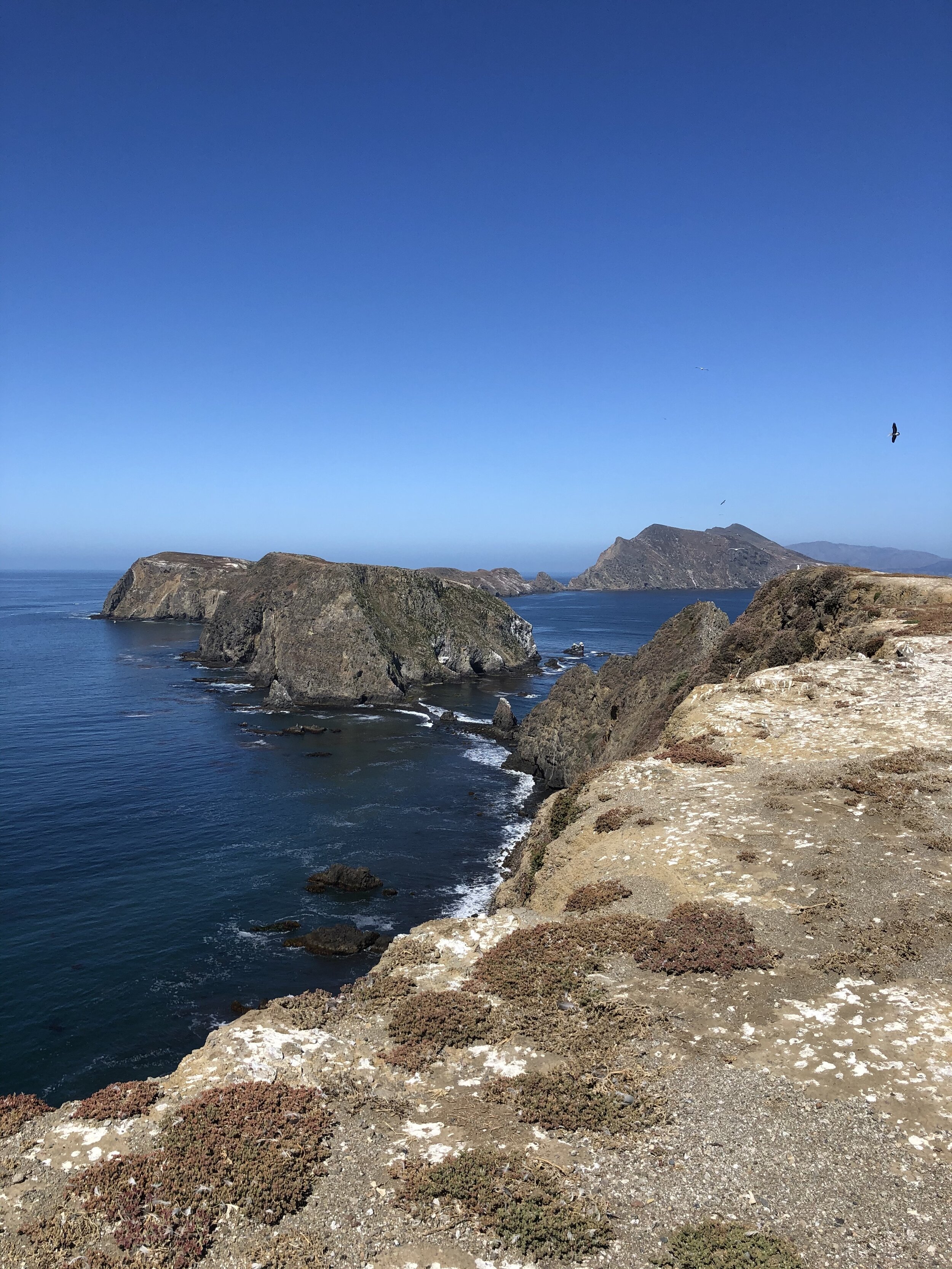
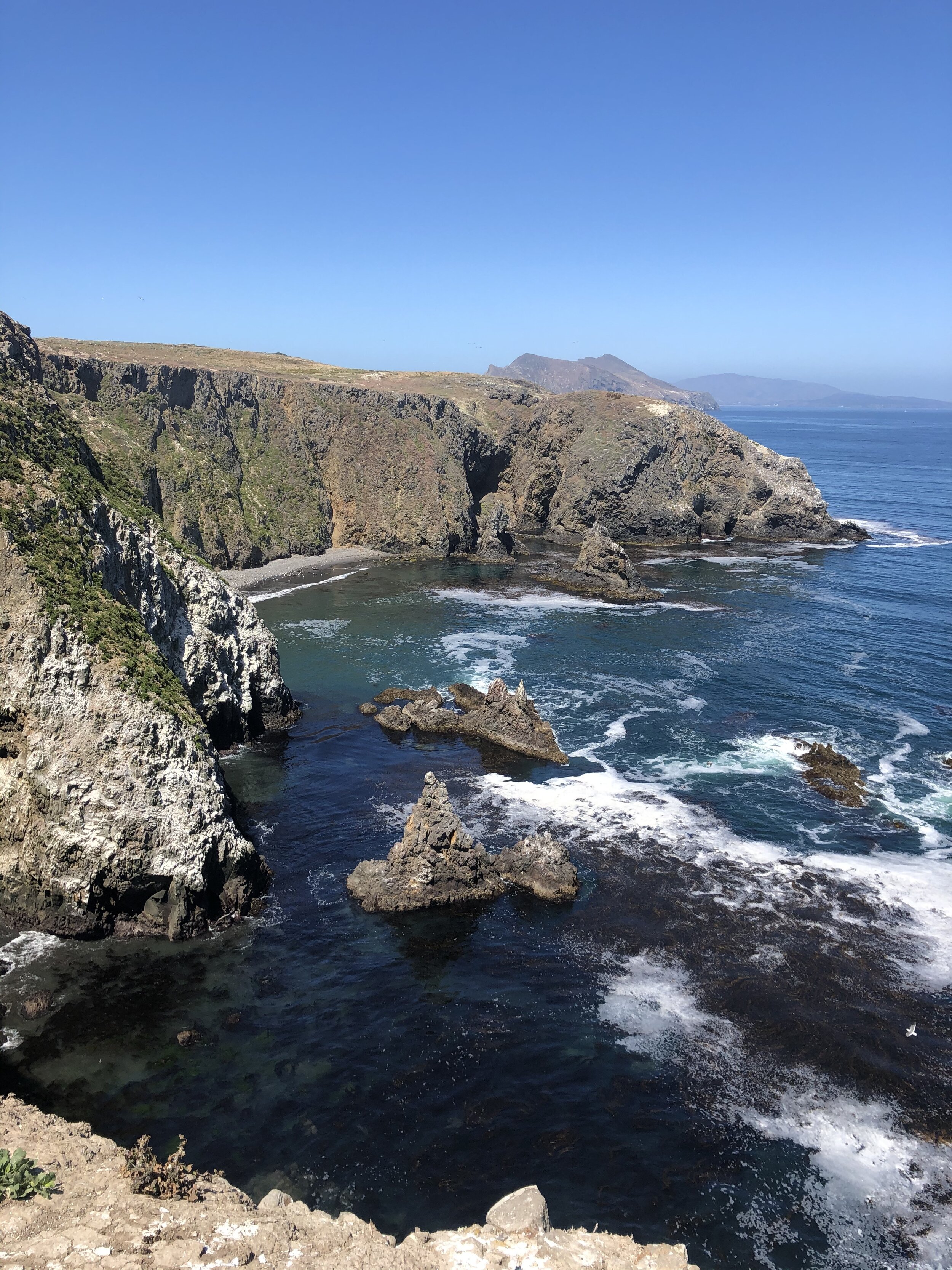
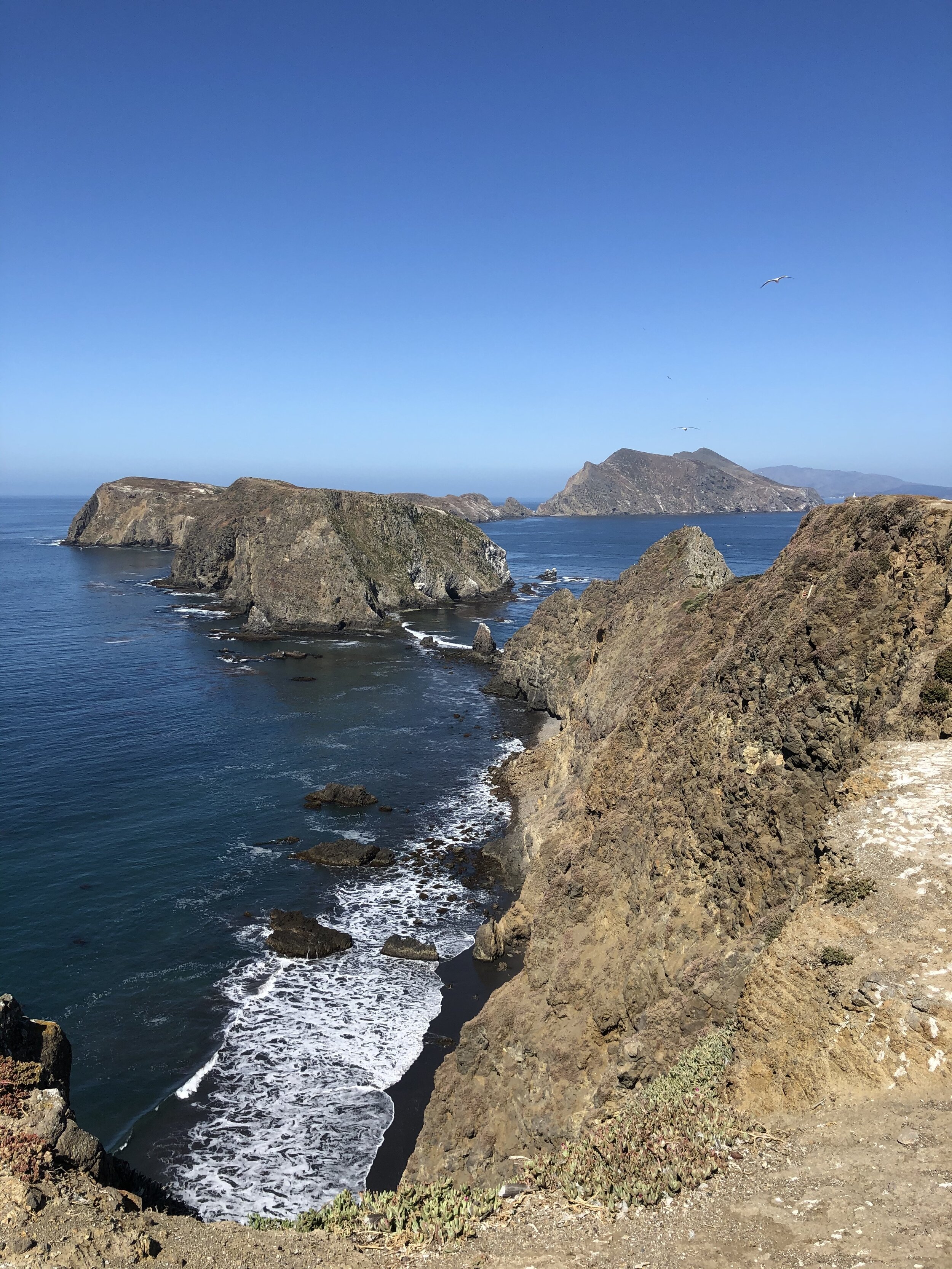
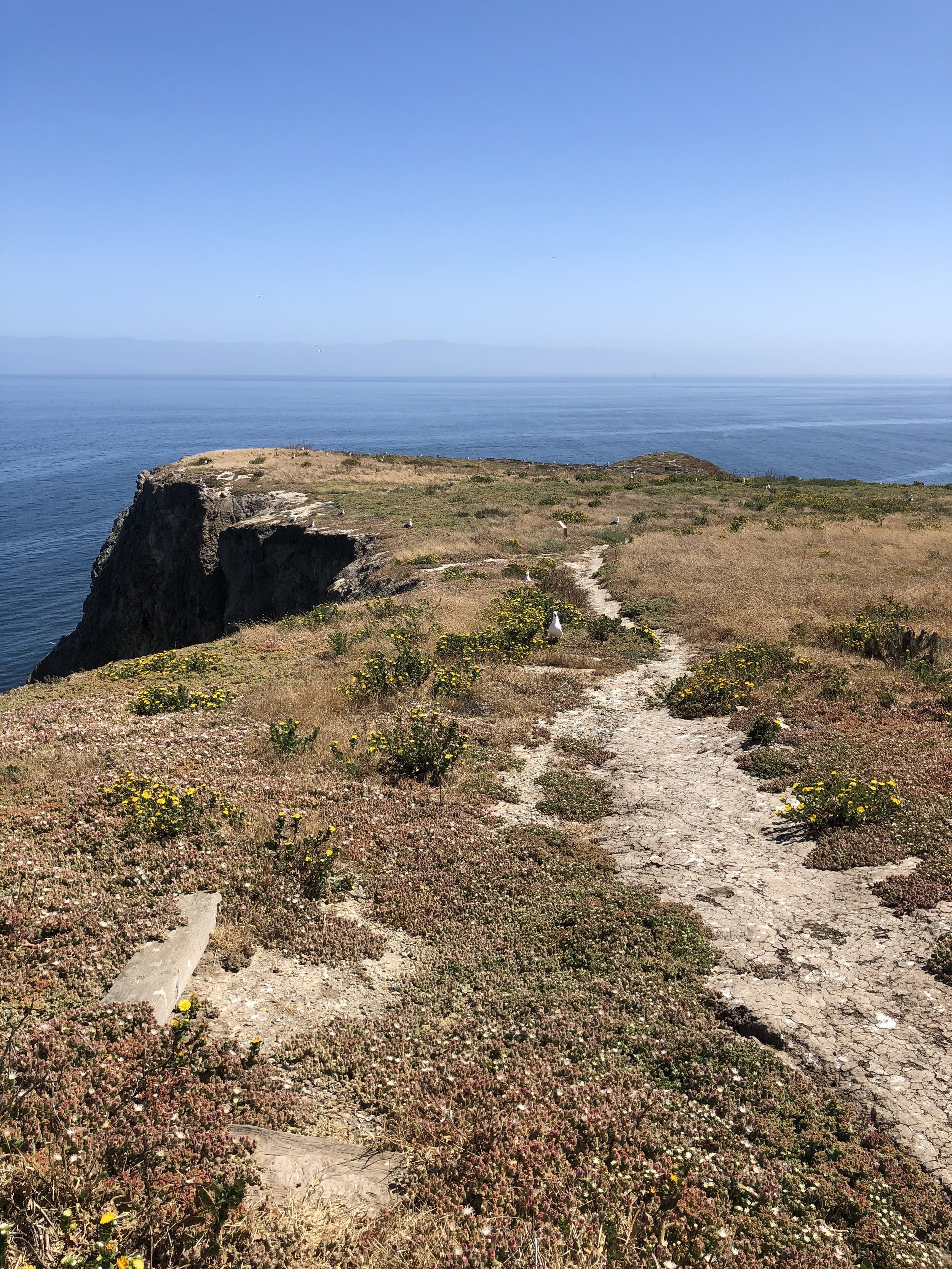
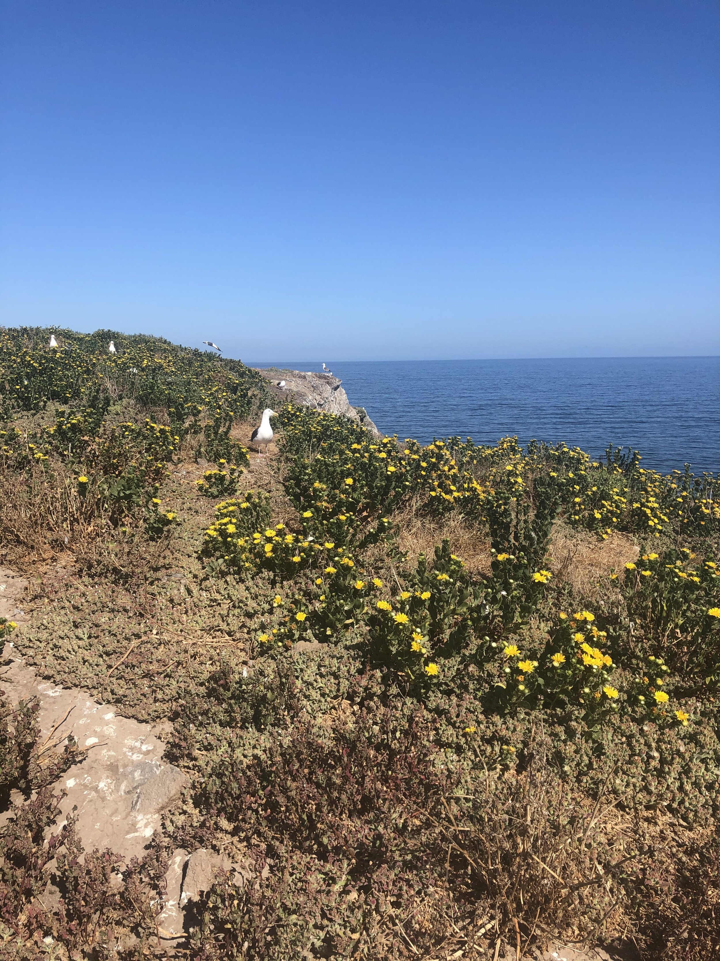
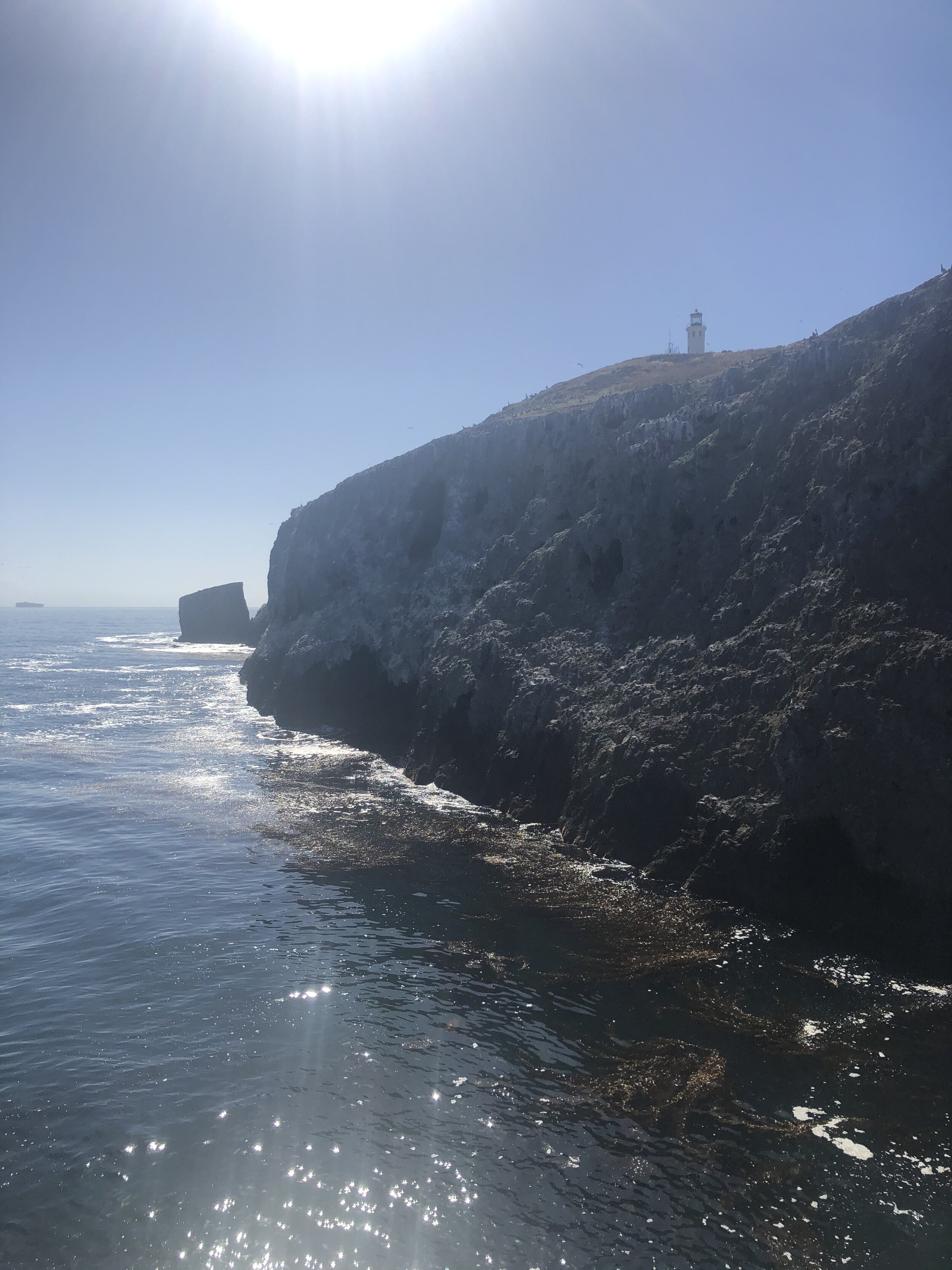
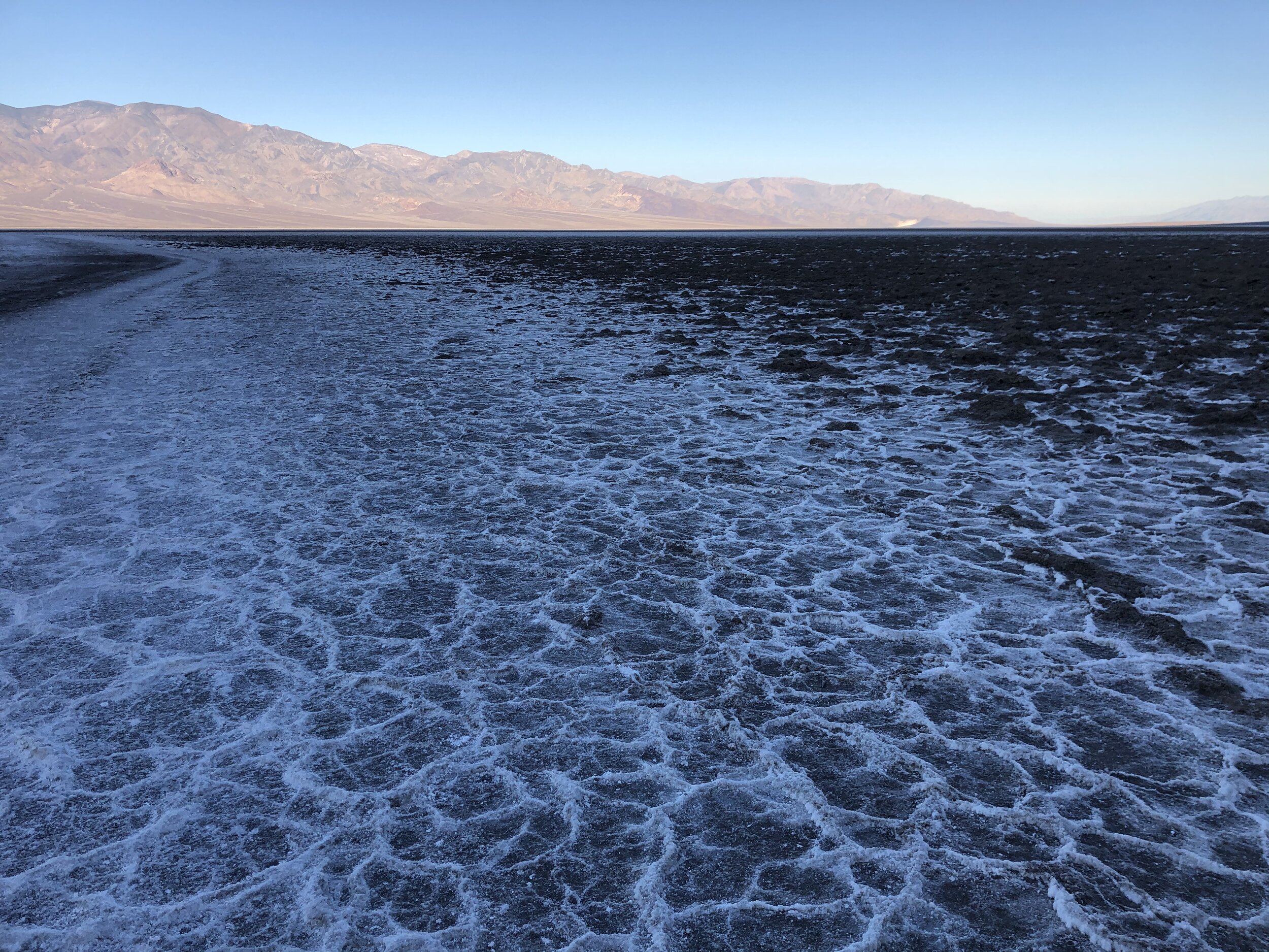
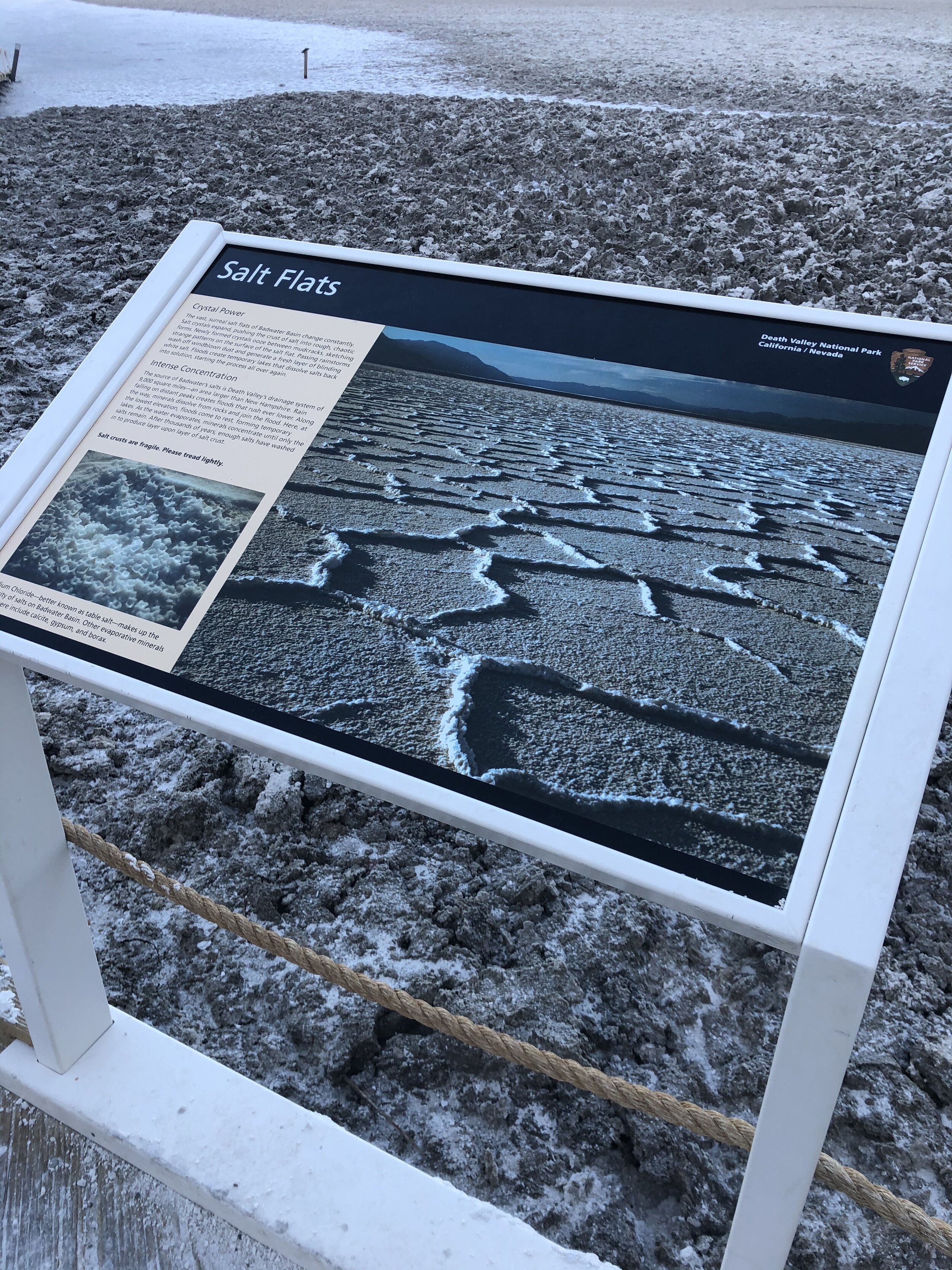
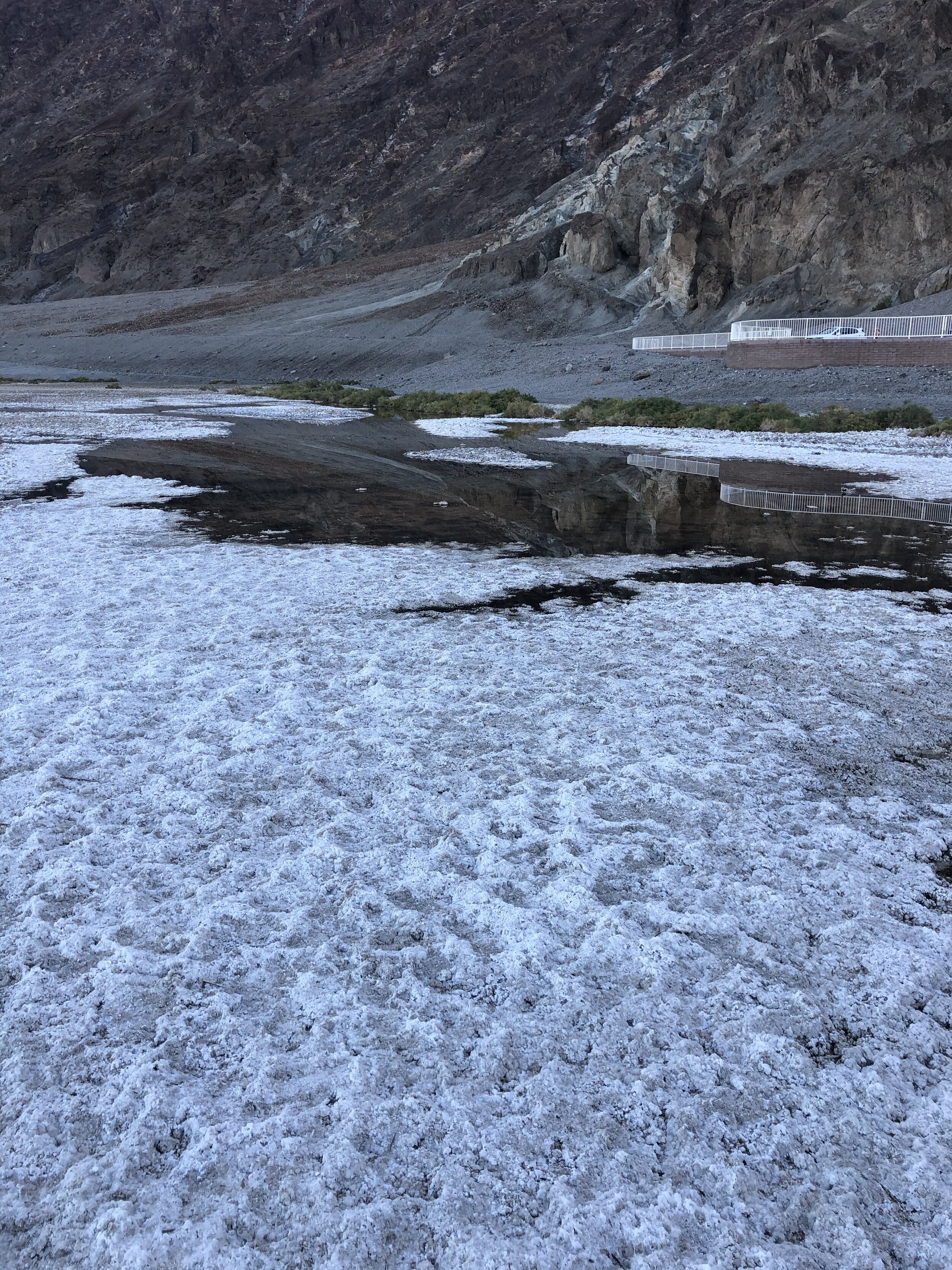
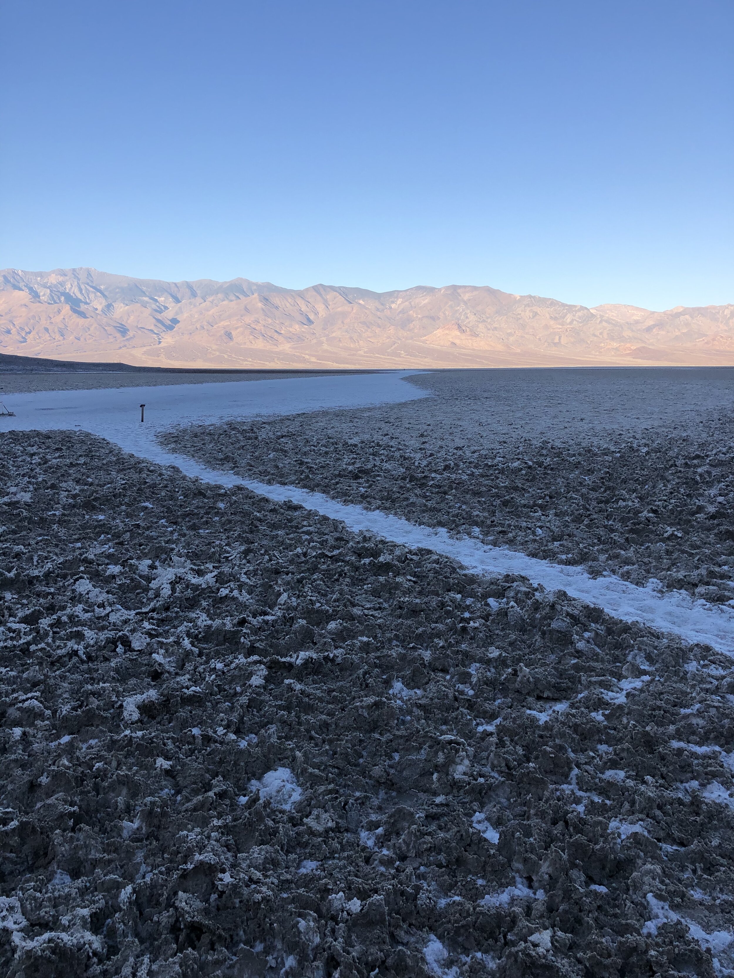
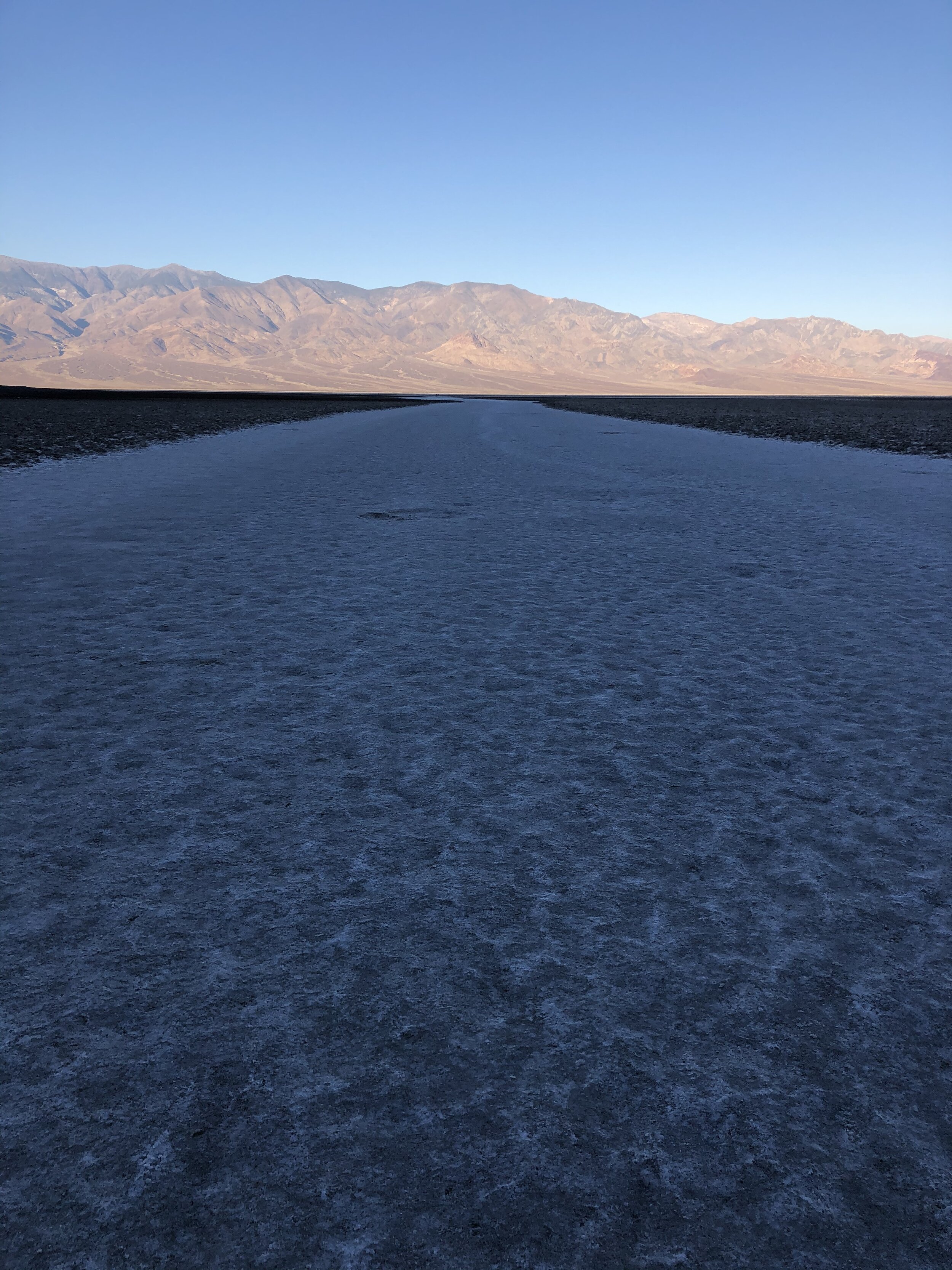
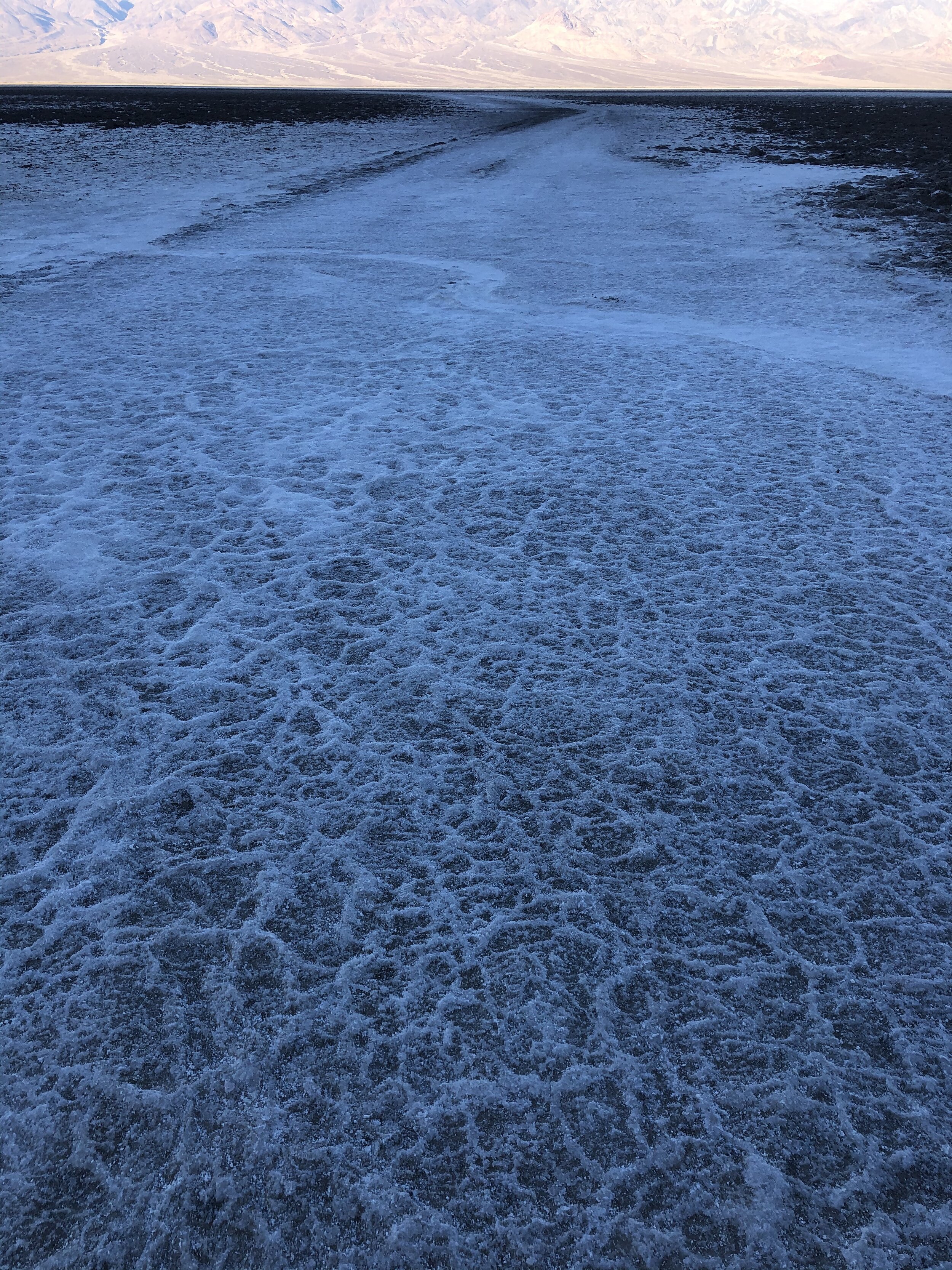
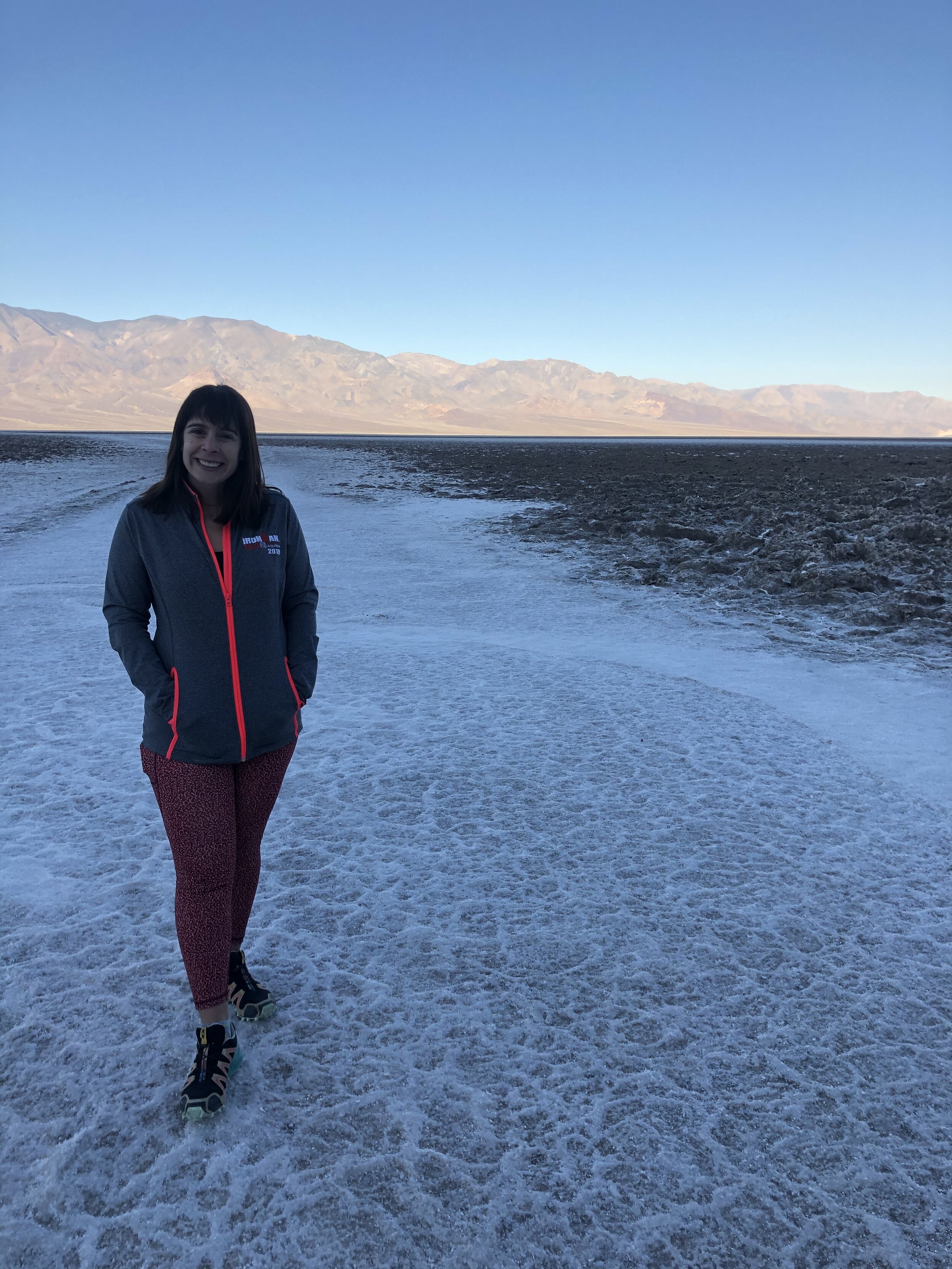
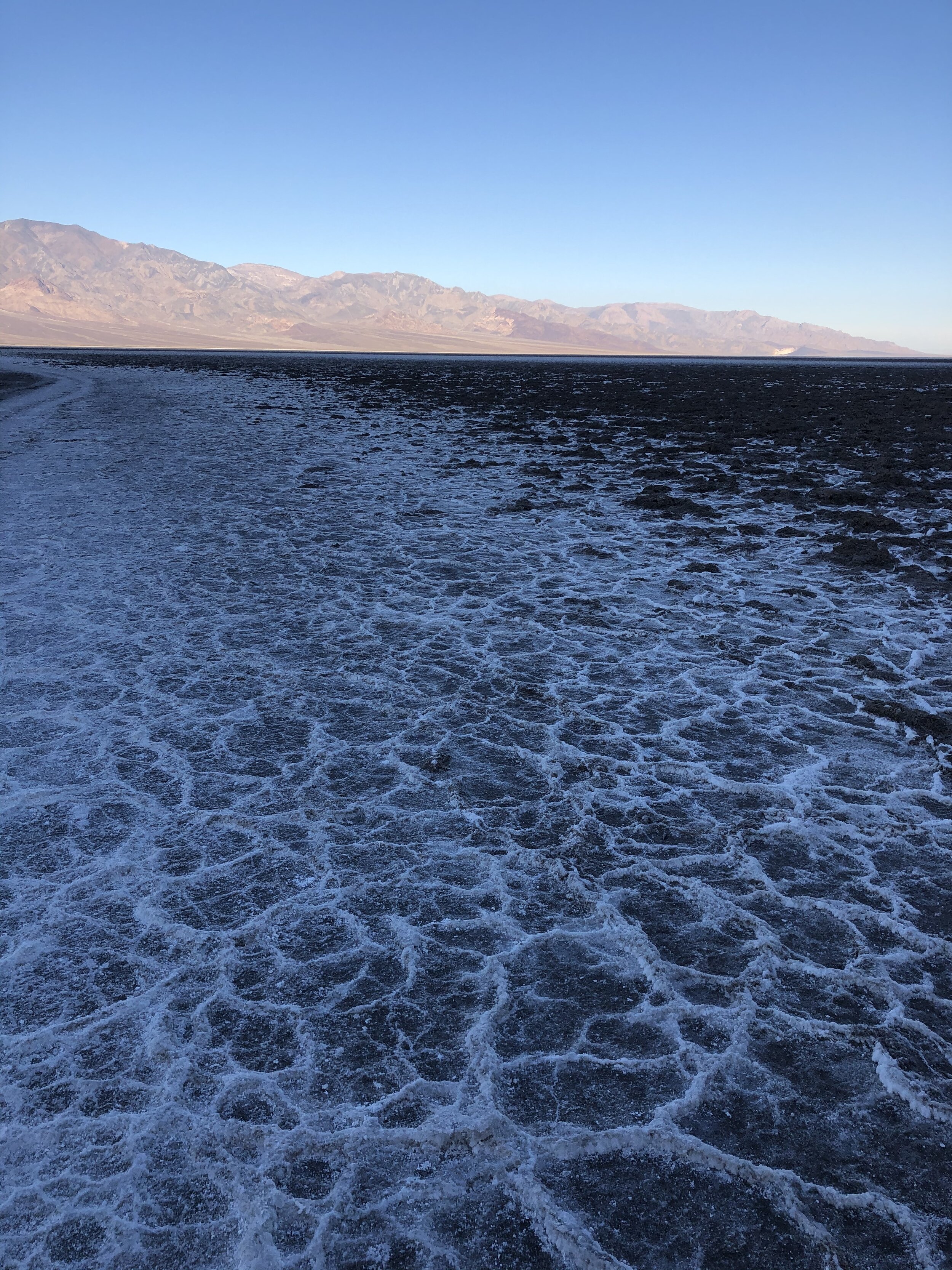
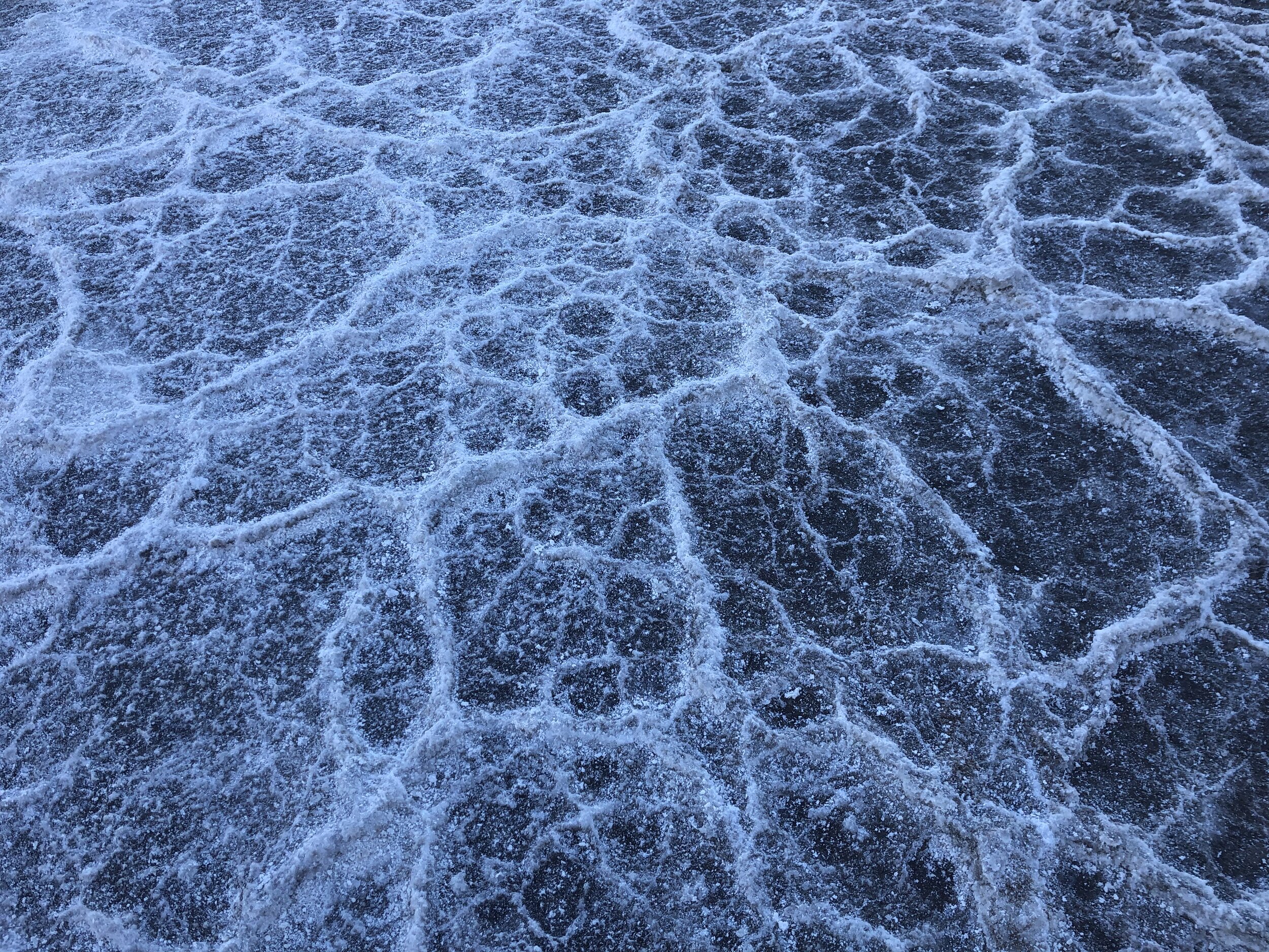
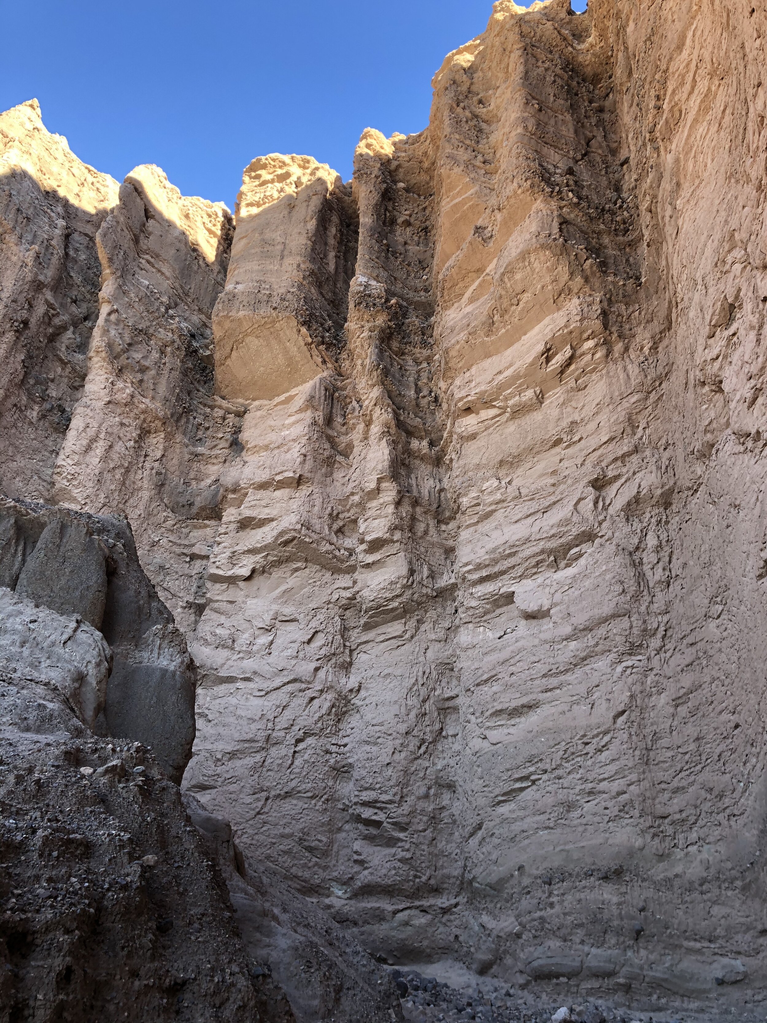
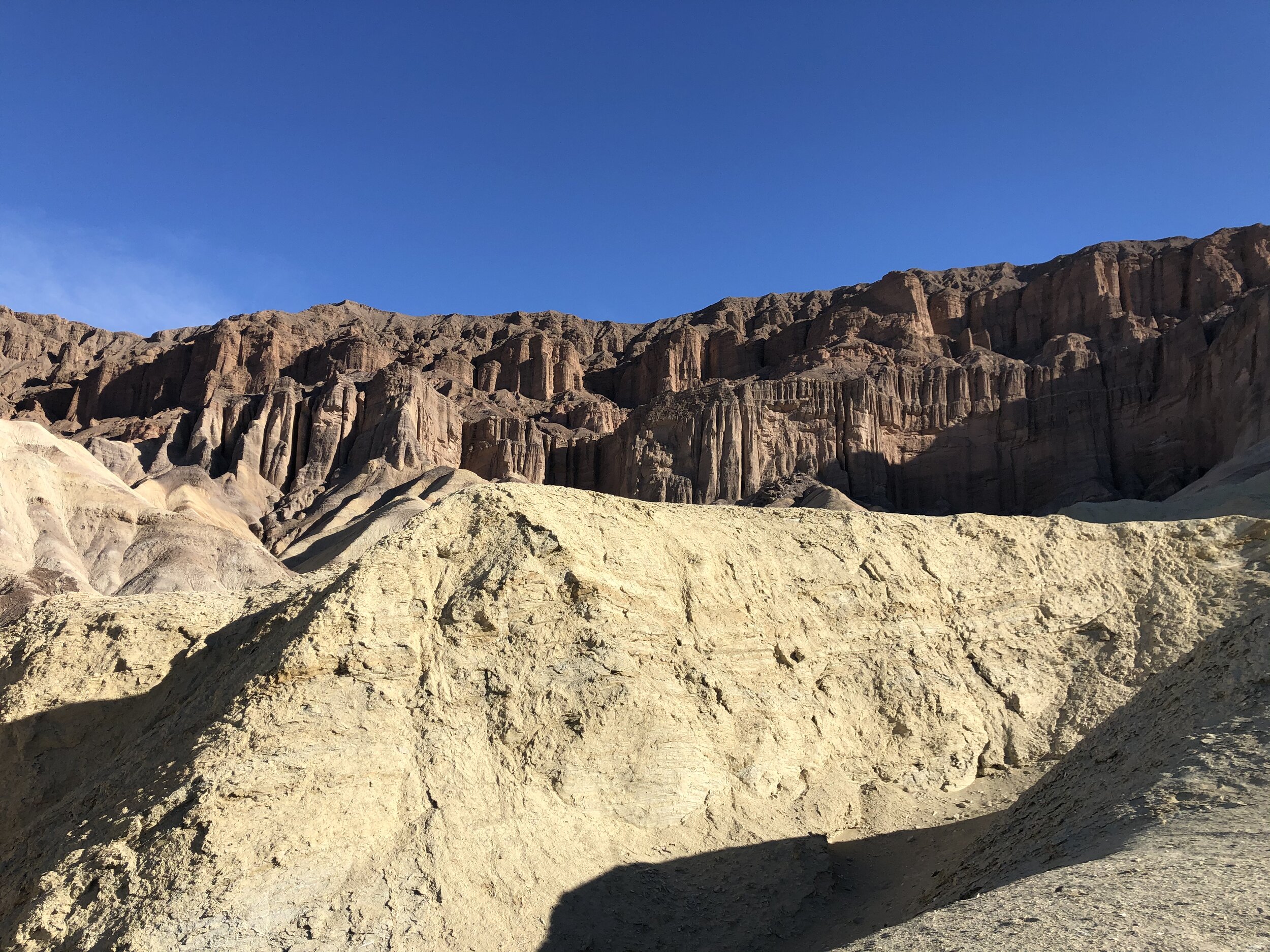
Next, we drove to Badwater Basin, North America's lowest elevation at 282 feet below sea level. This area is home to the salt flats, an iconic part of Death Valley National Park. It was still early morning when we went; the sun was still behind valley walls, which explains the photos' dark shadows.

IMG_2969.jpg
IMG_2960.jpg
IMG_2961.jpg
IMG_2962.jpg
IMG_2963.jpg
IMG_2964.jpg
IMG_2965.jpg
IMG_2967.jpg
IMG_2968.jpg
IMG_2969.jpg IMG_2960.jpg IMG_2961.jpg IMG_2962.jpg IMG_2963.jpg IMG_2964.jpg IMG_2965.jpg IMG_2967.jpg IMG_2968.jpg

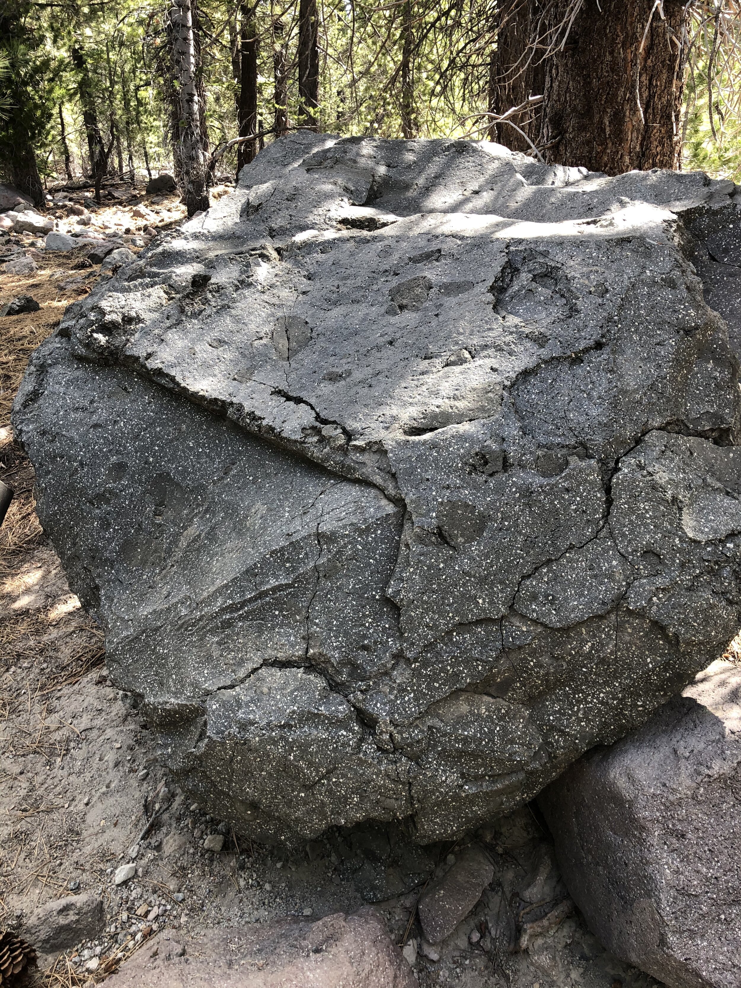
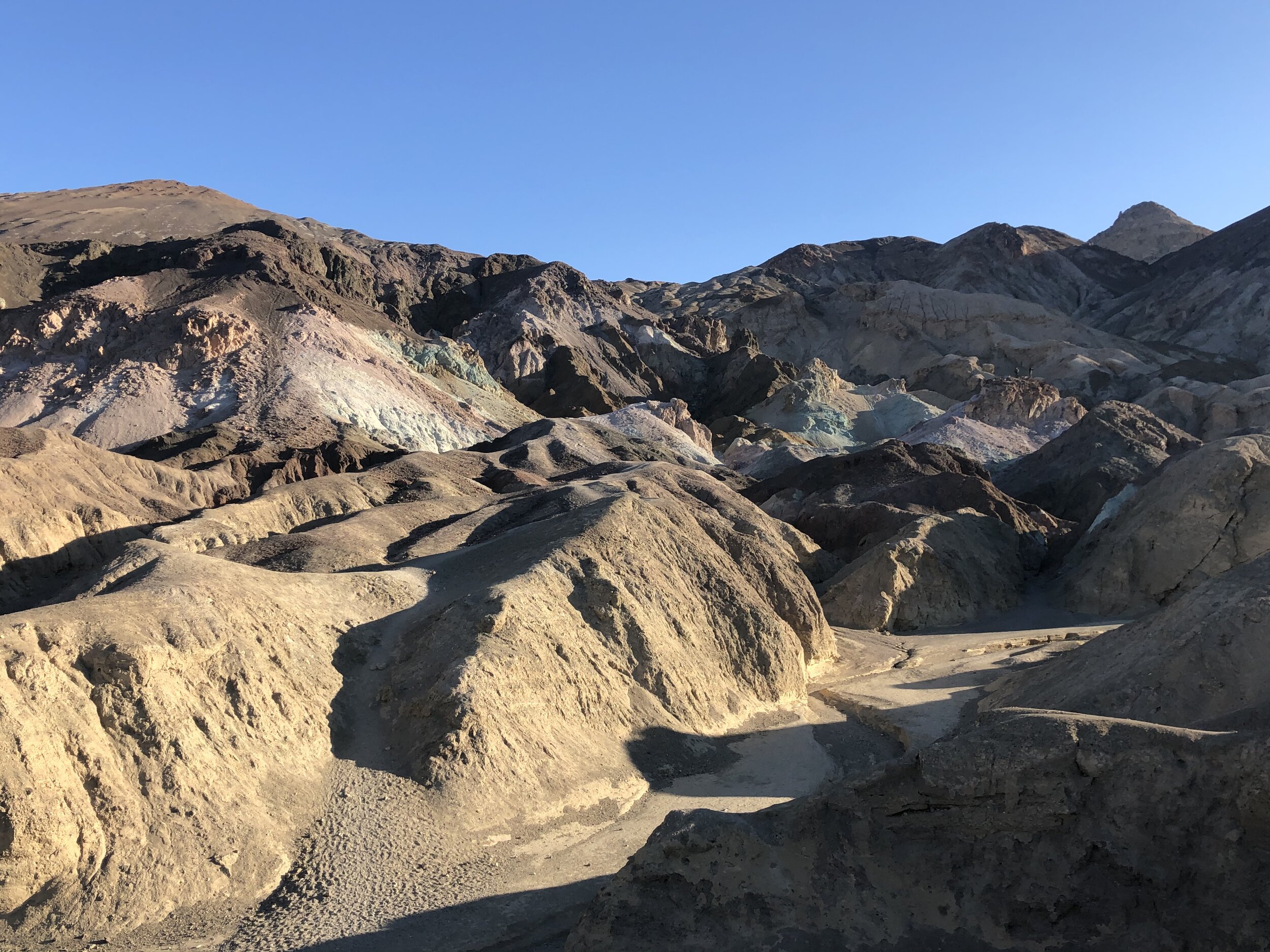
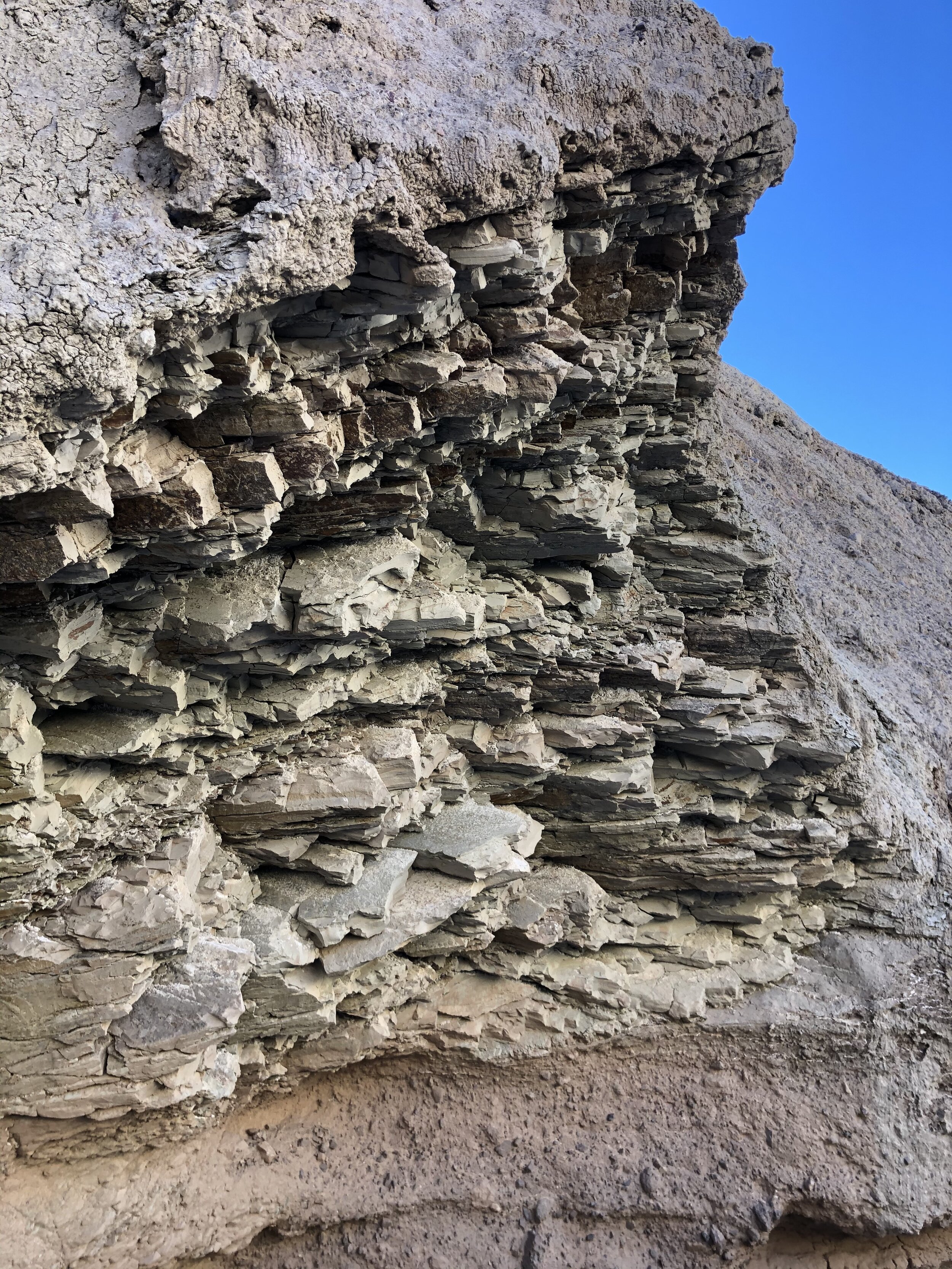
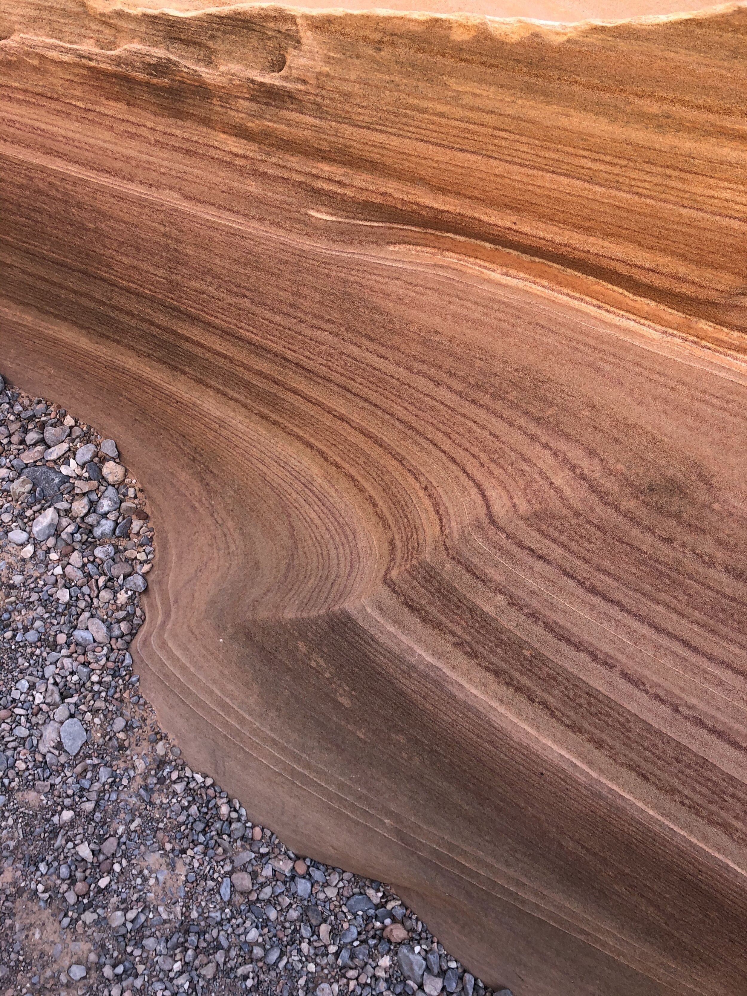
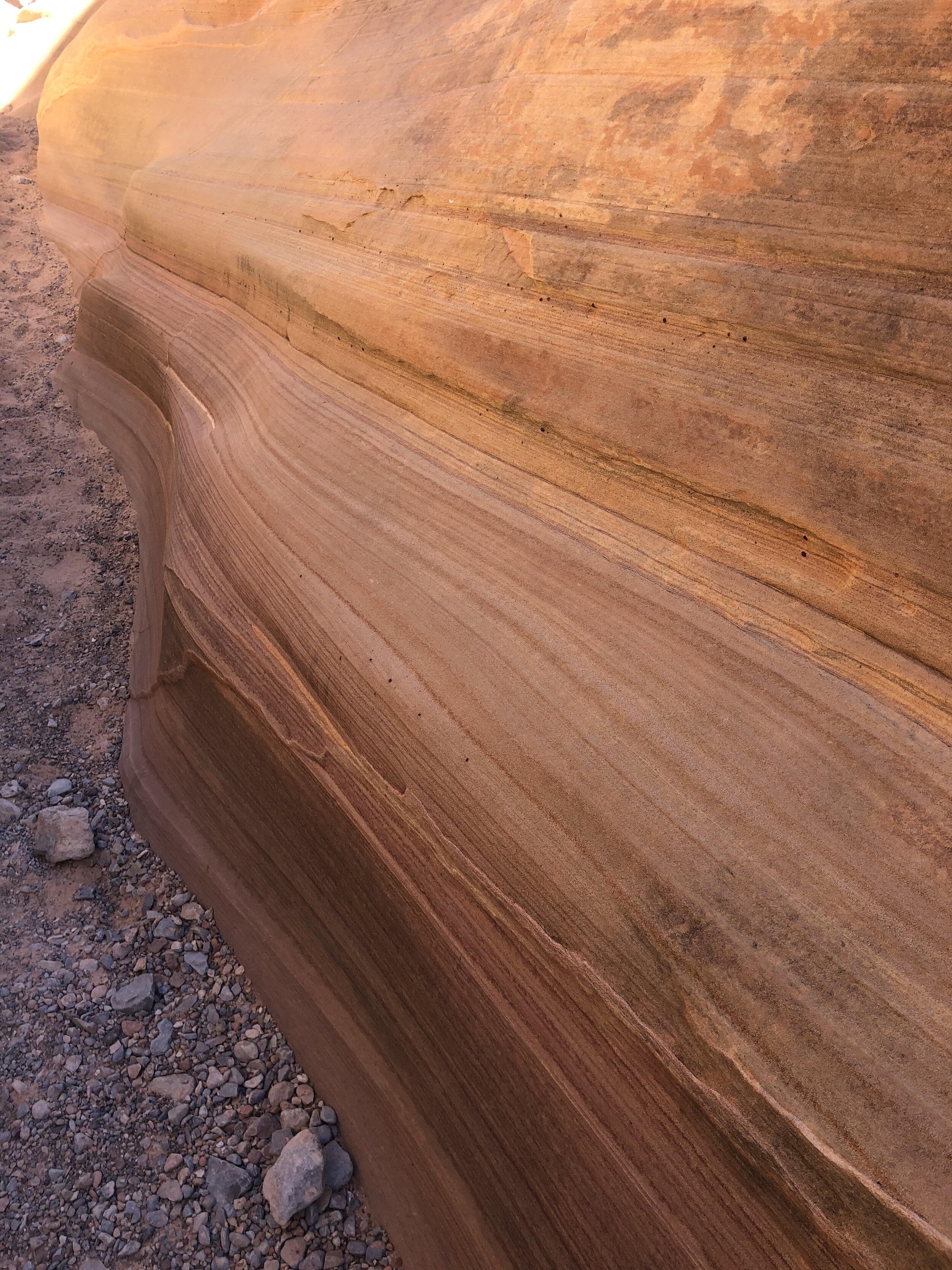
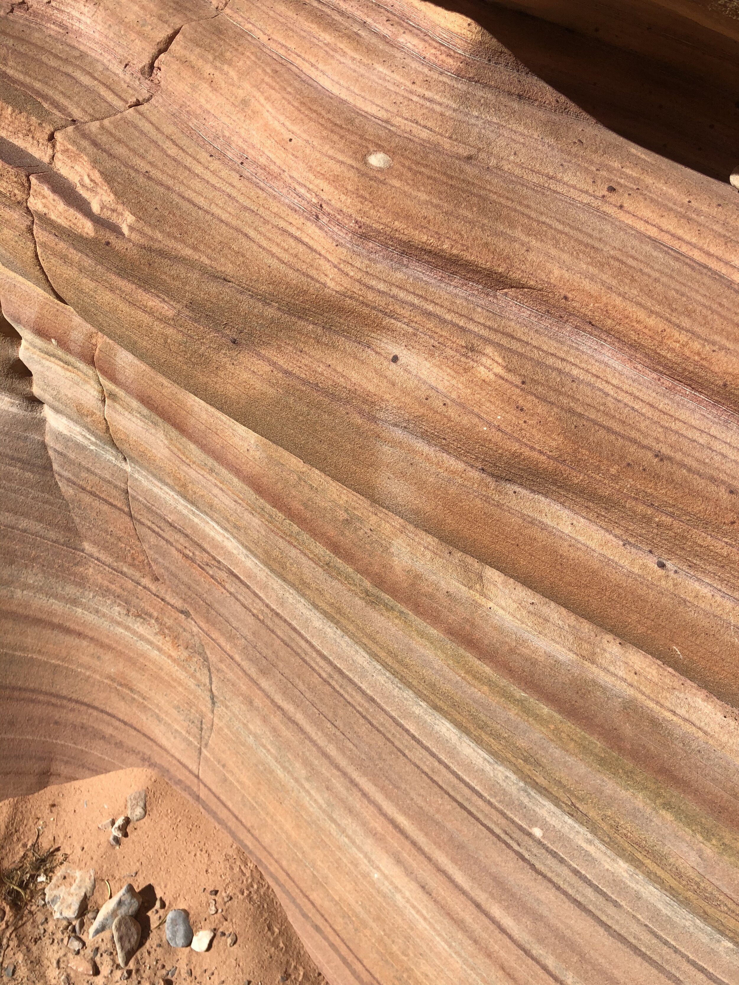
On the way back to the campground, we stopped to drive down the one-way loop called Artists Drive. Here, we found Artists Palette, rainbow-colored rock formations that represent, well, artists palettes.

IMG_2973.jpg
IMG_2974.jpg

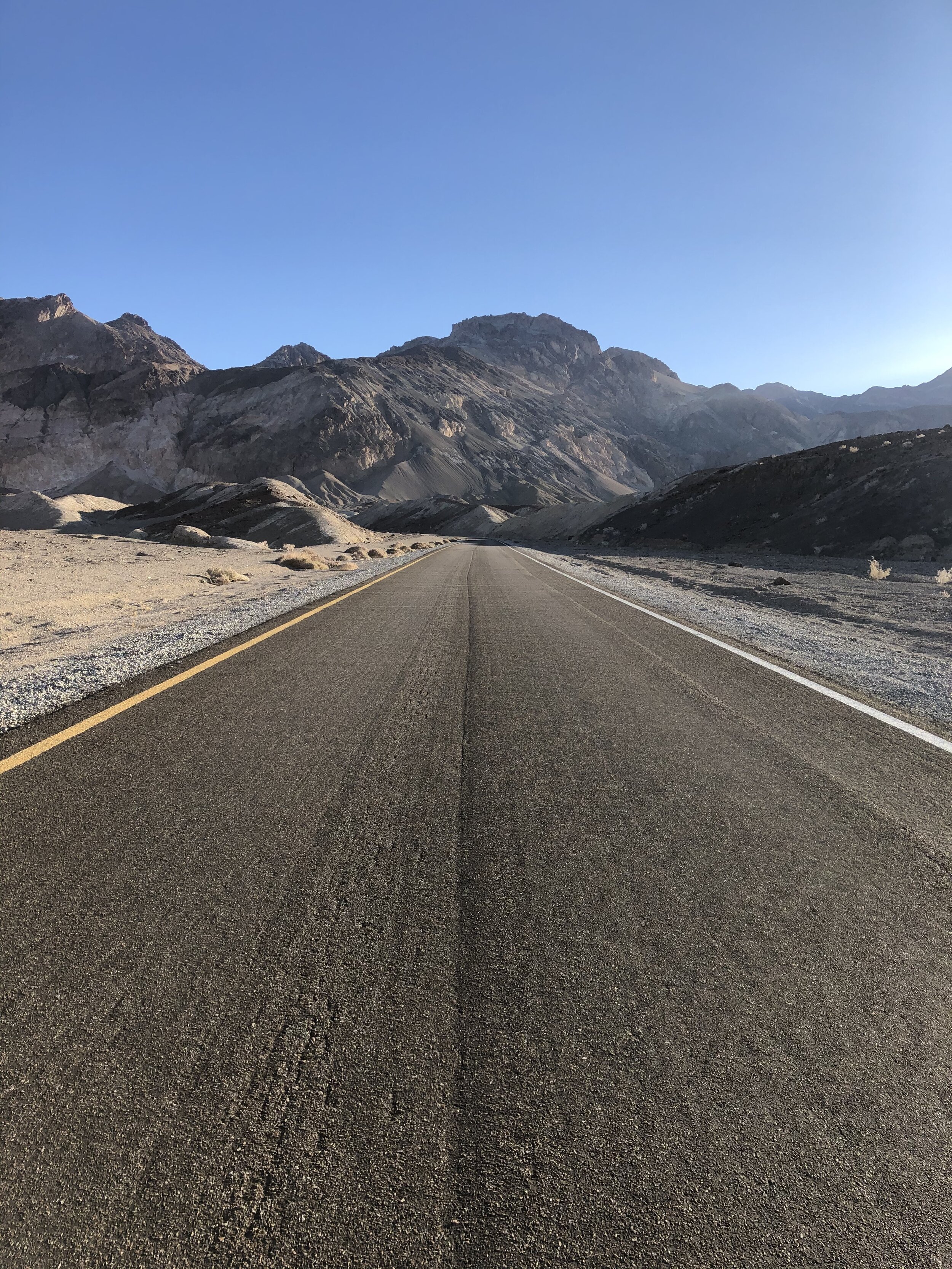
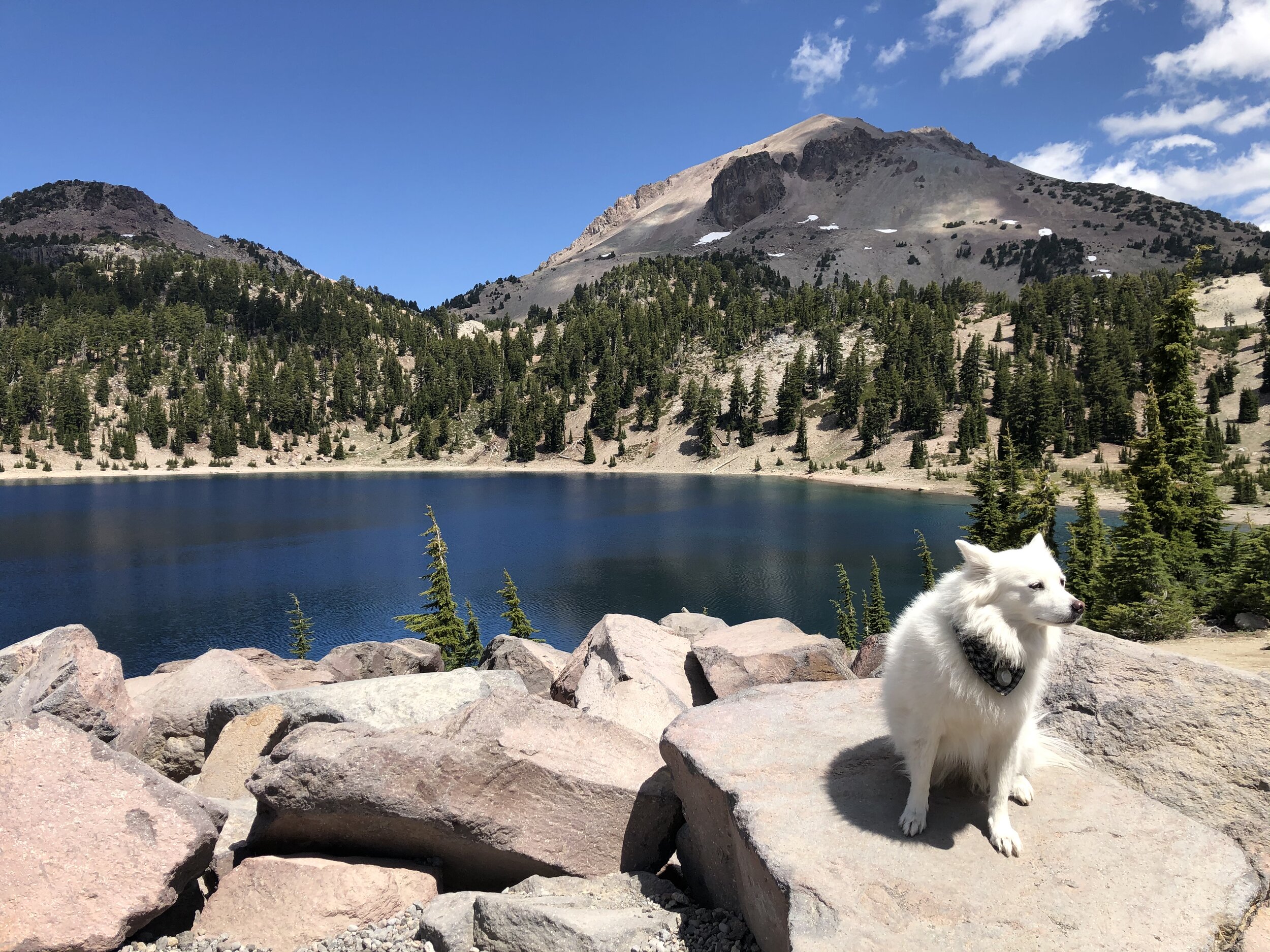
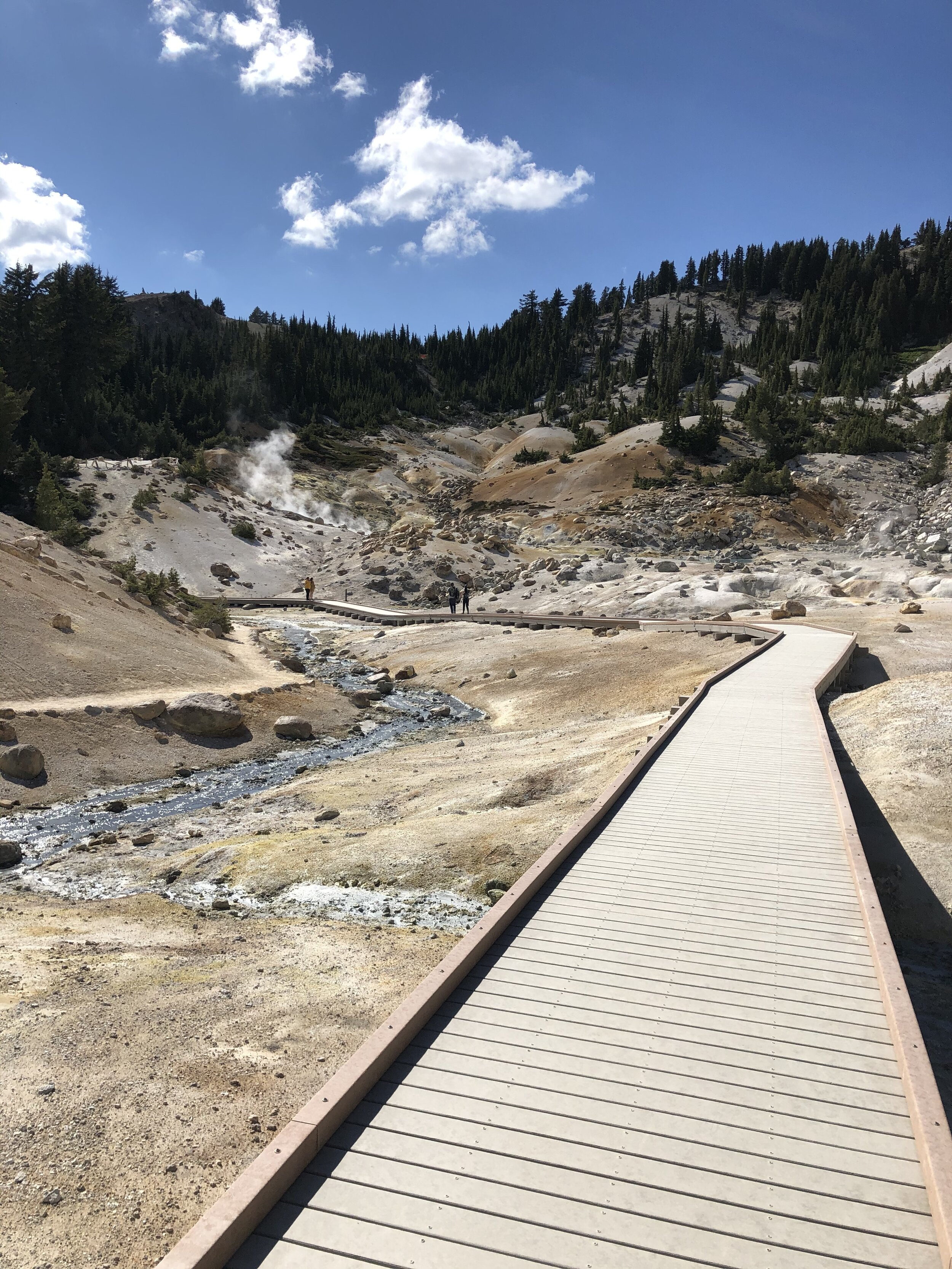
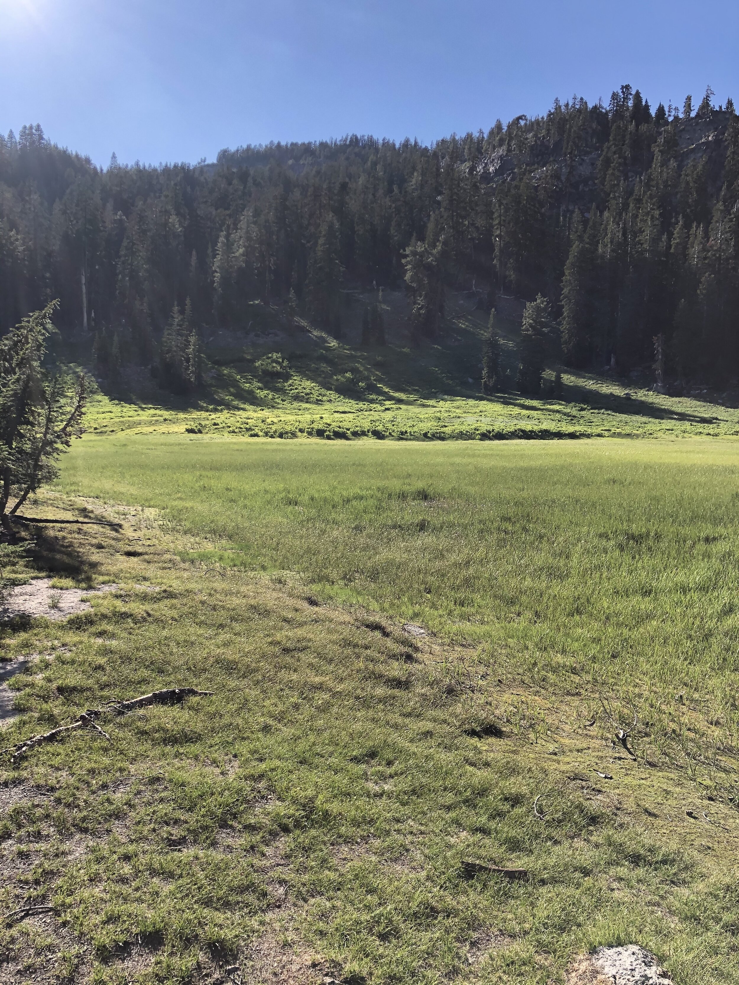
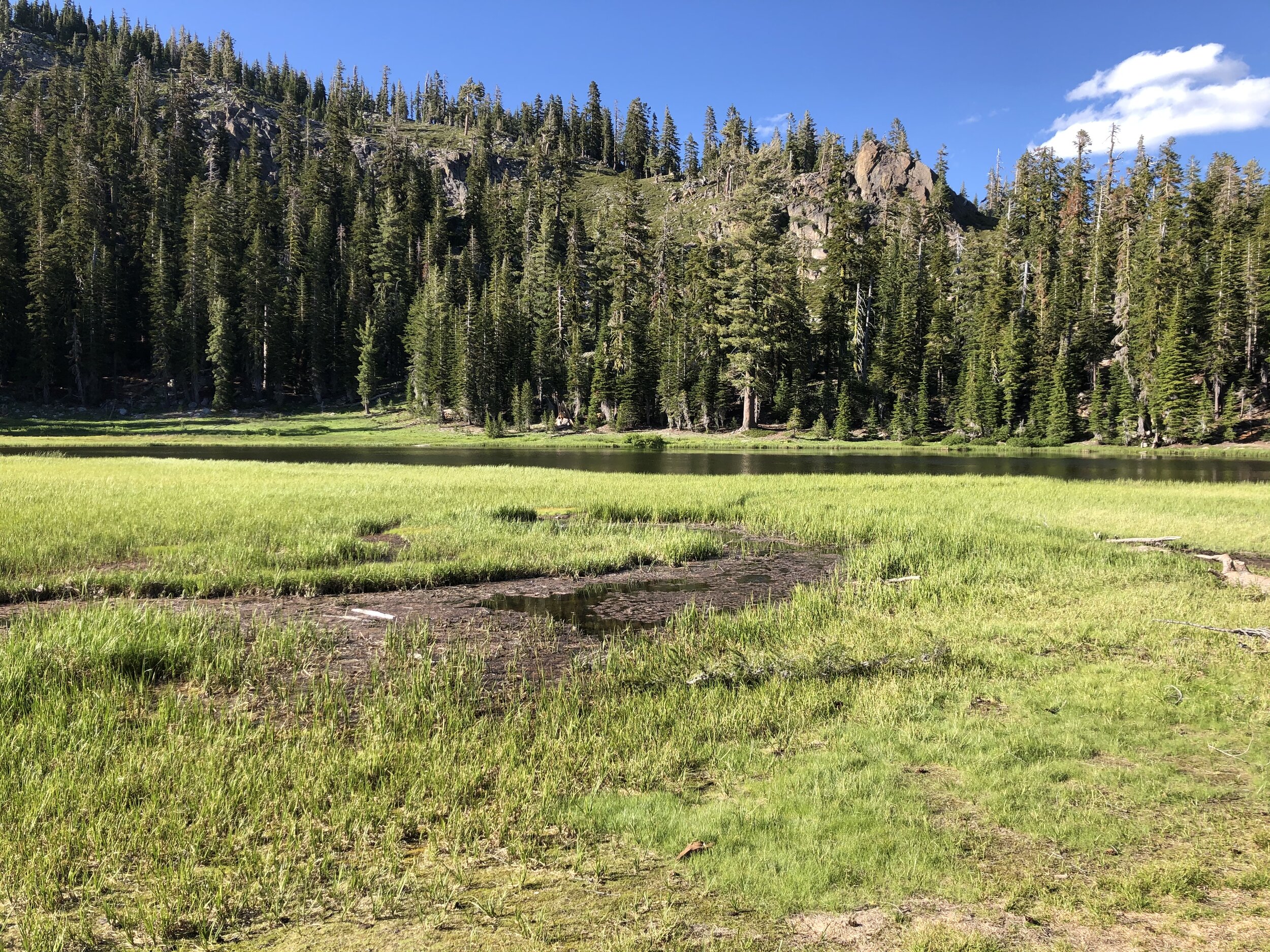
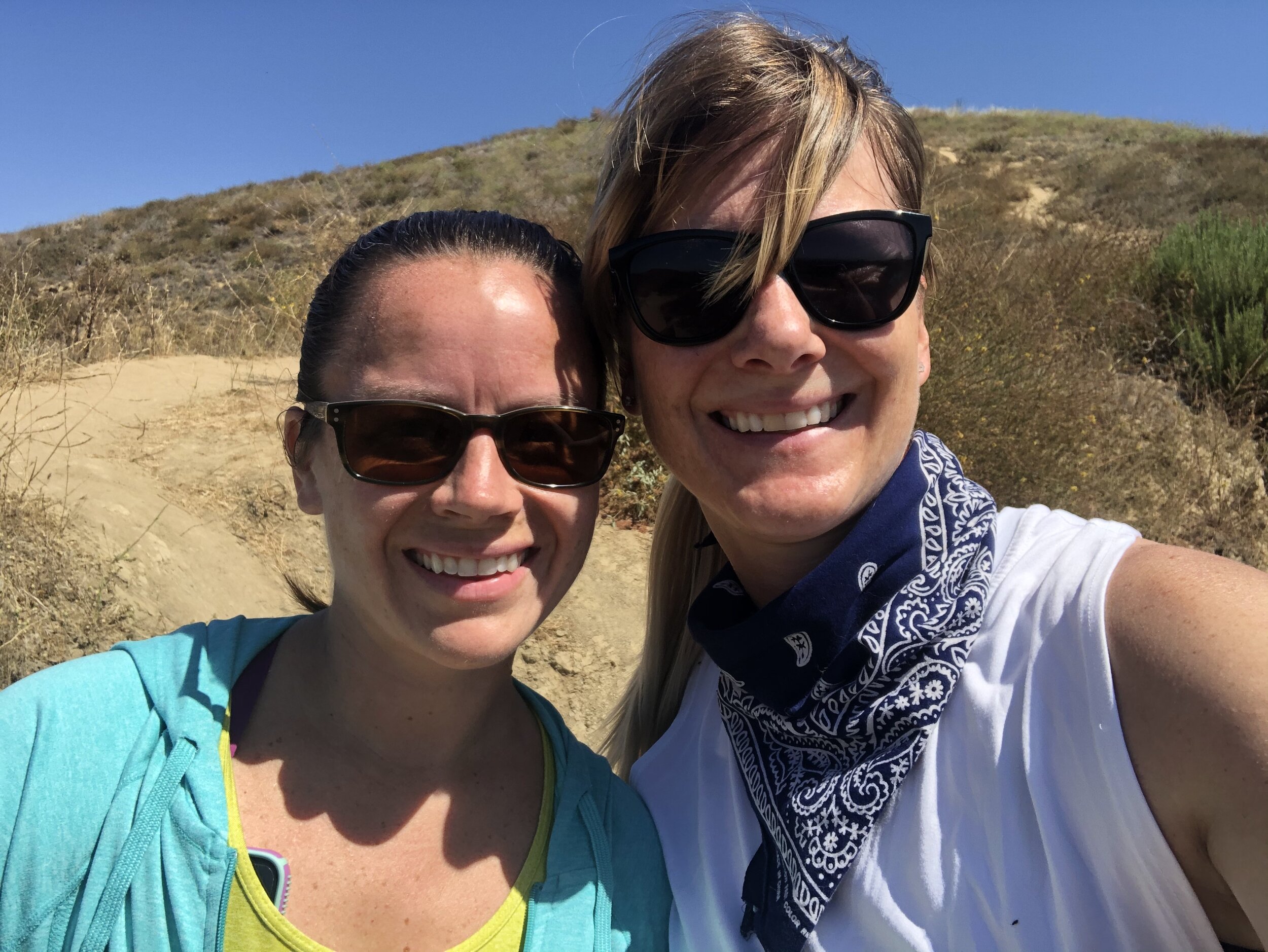
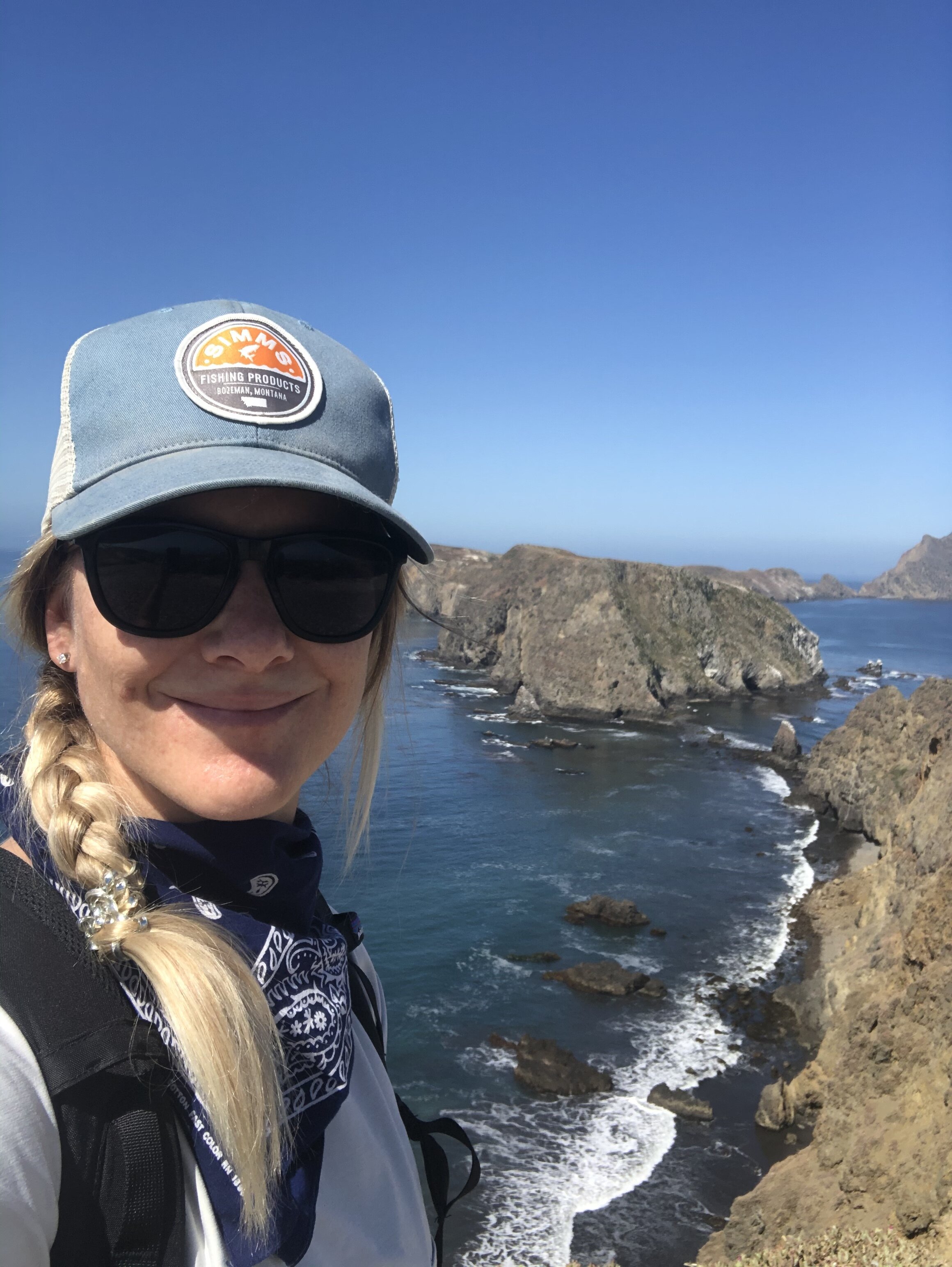
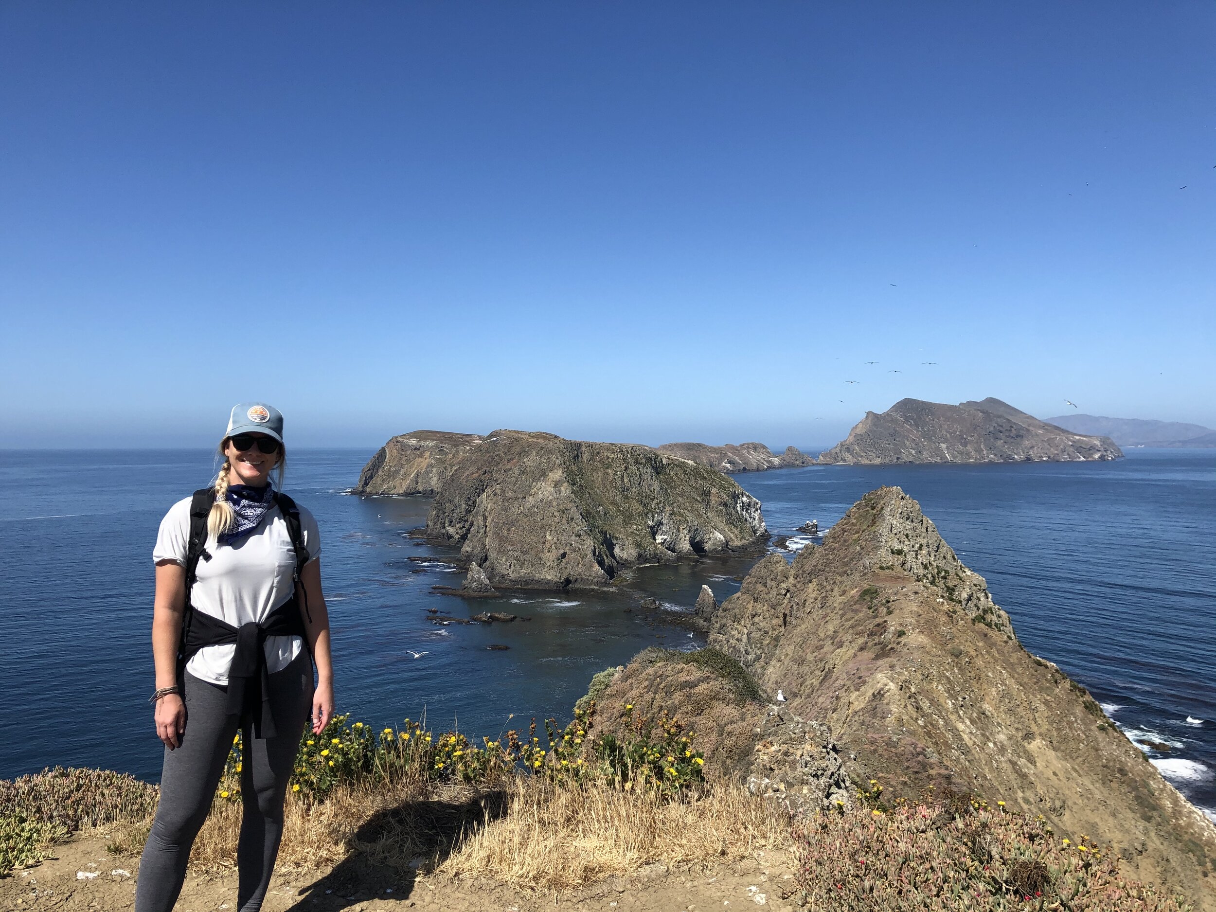
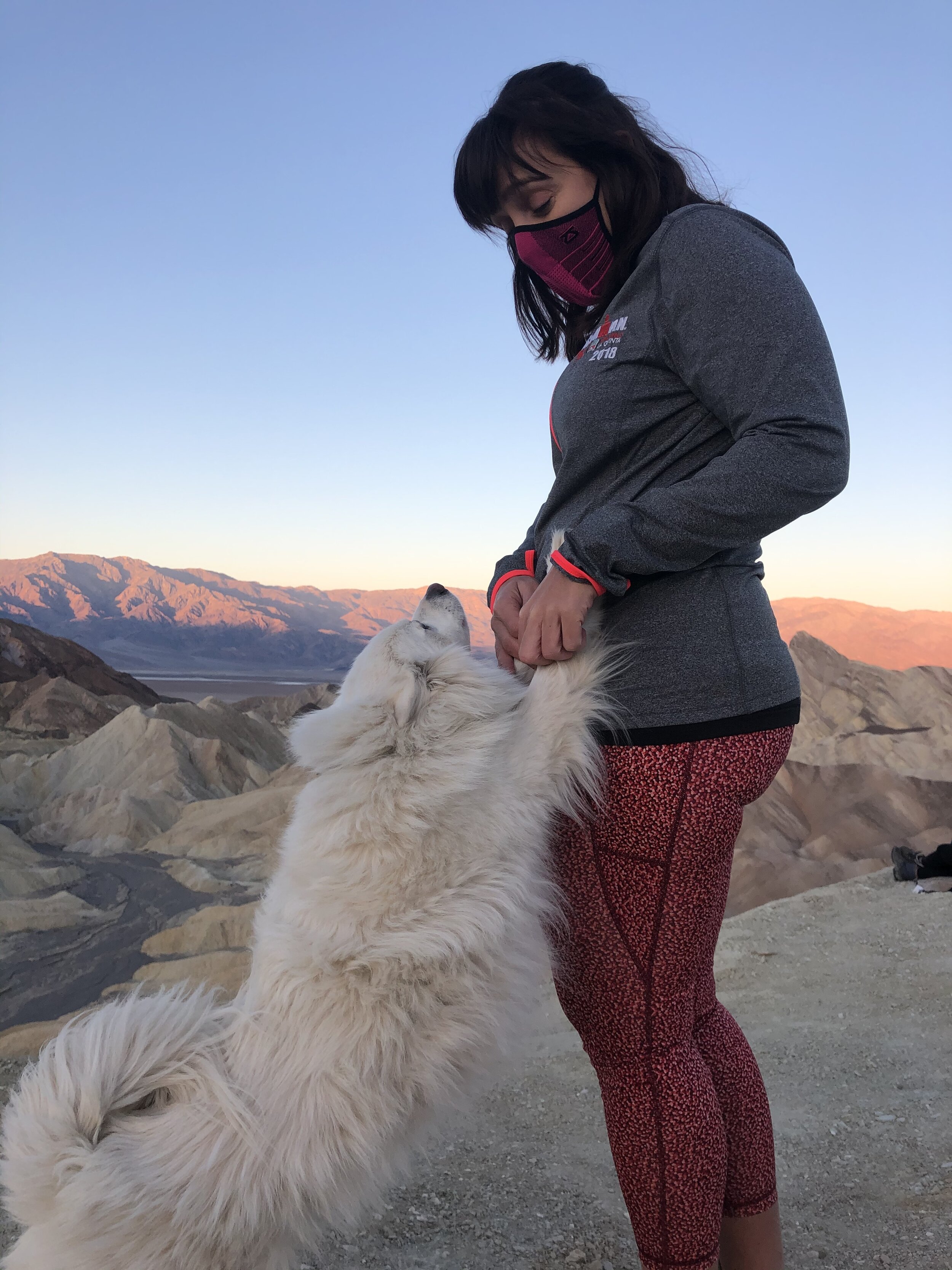
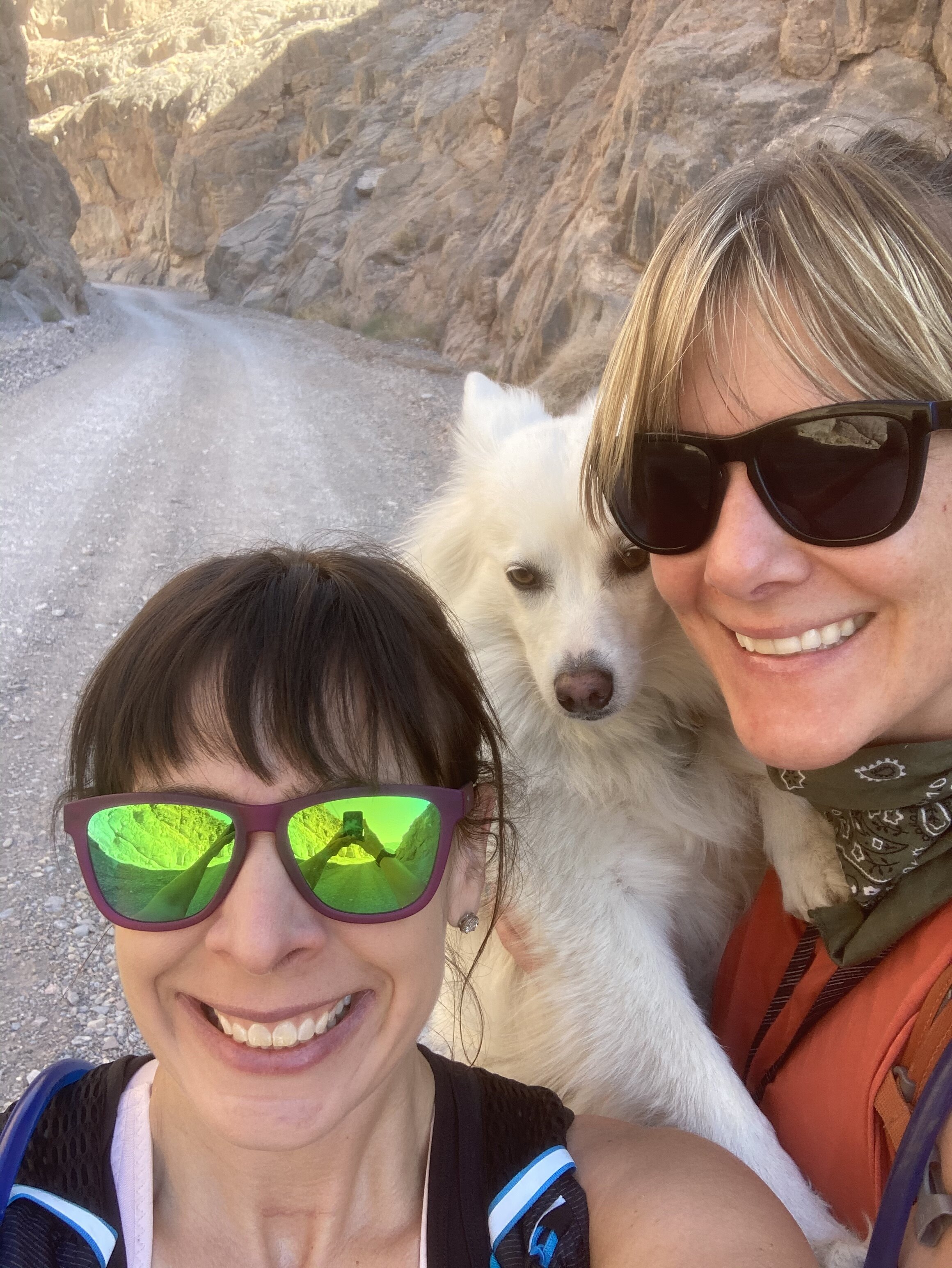
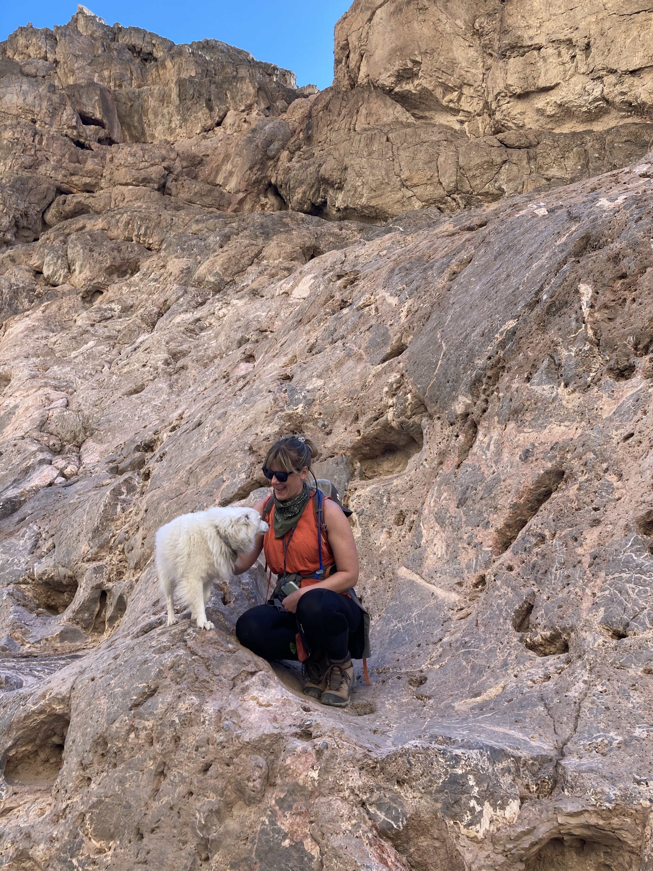
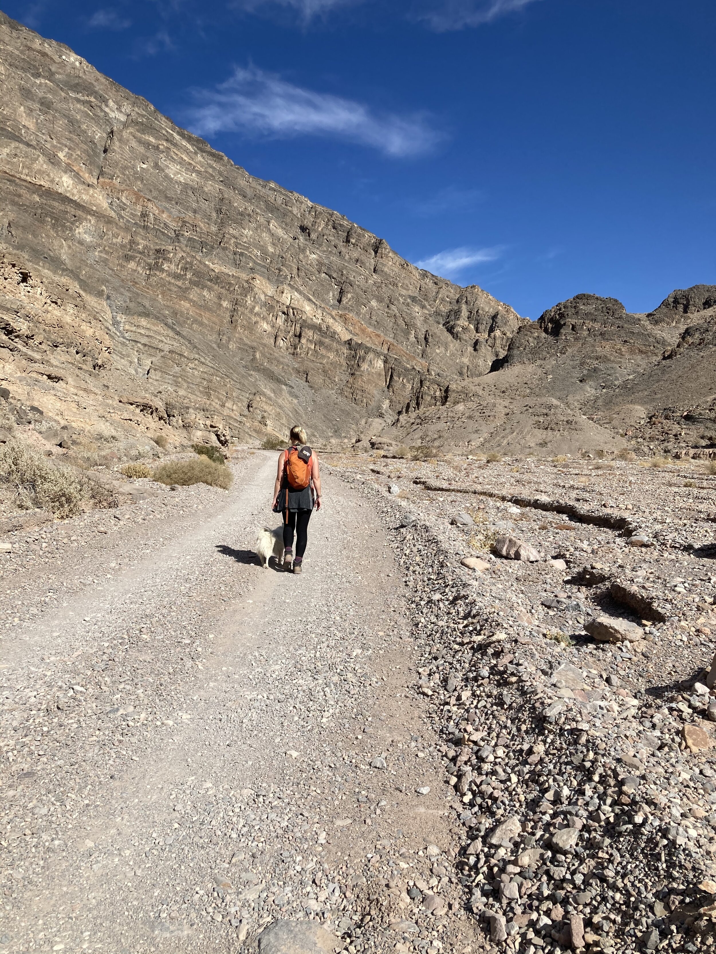
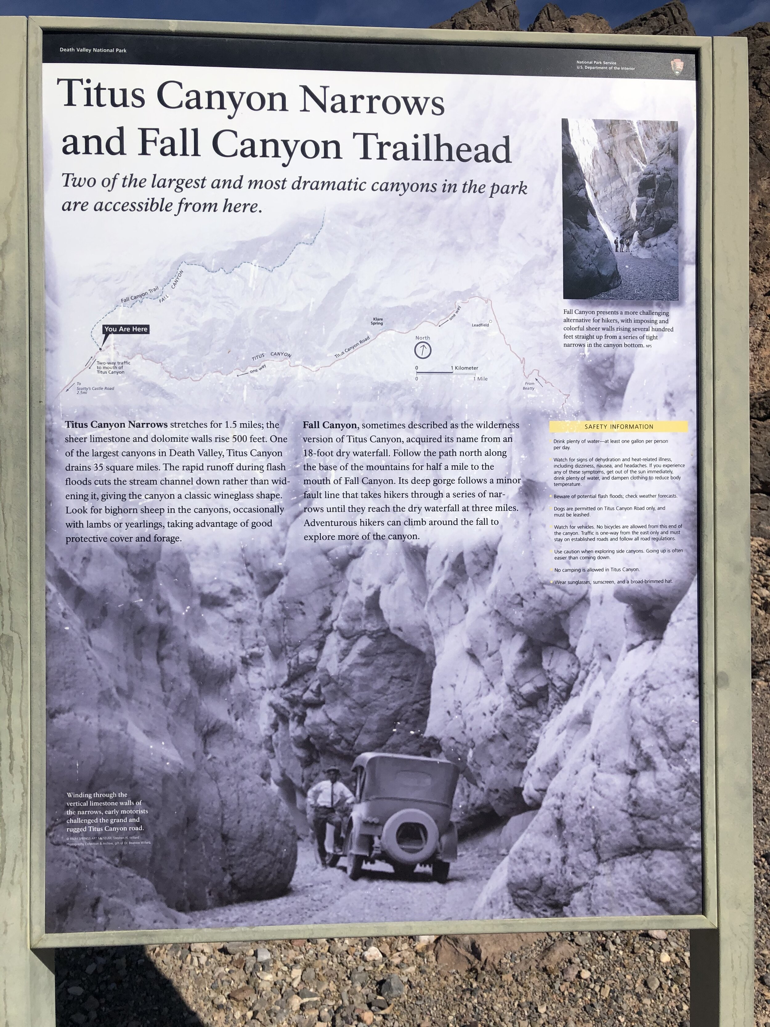
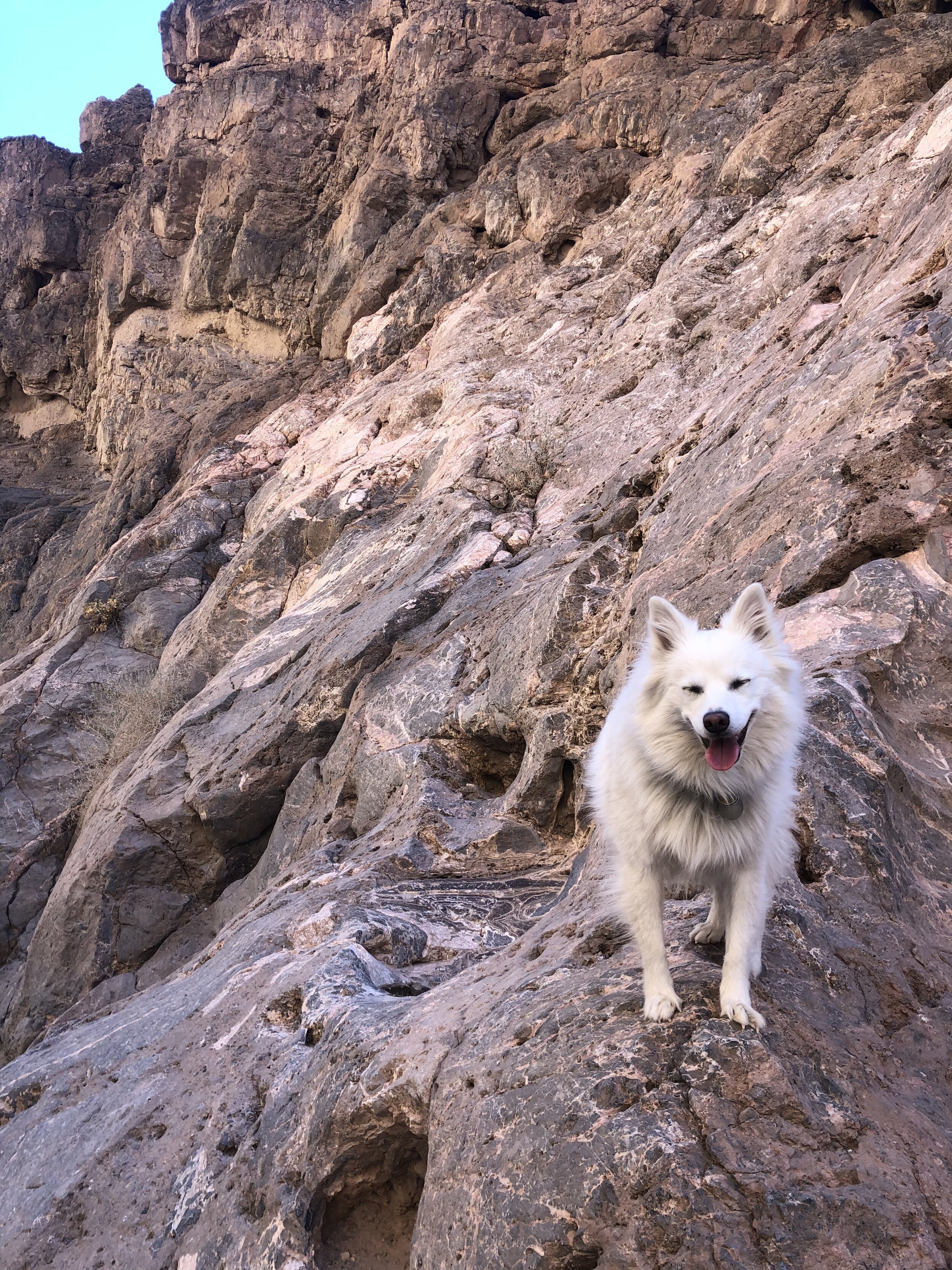
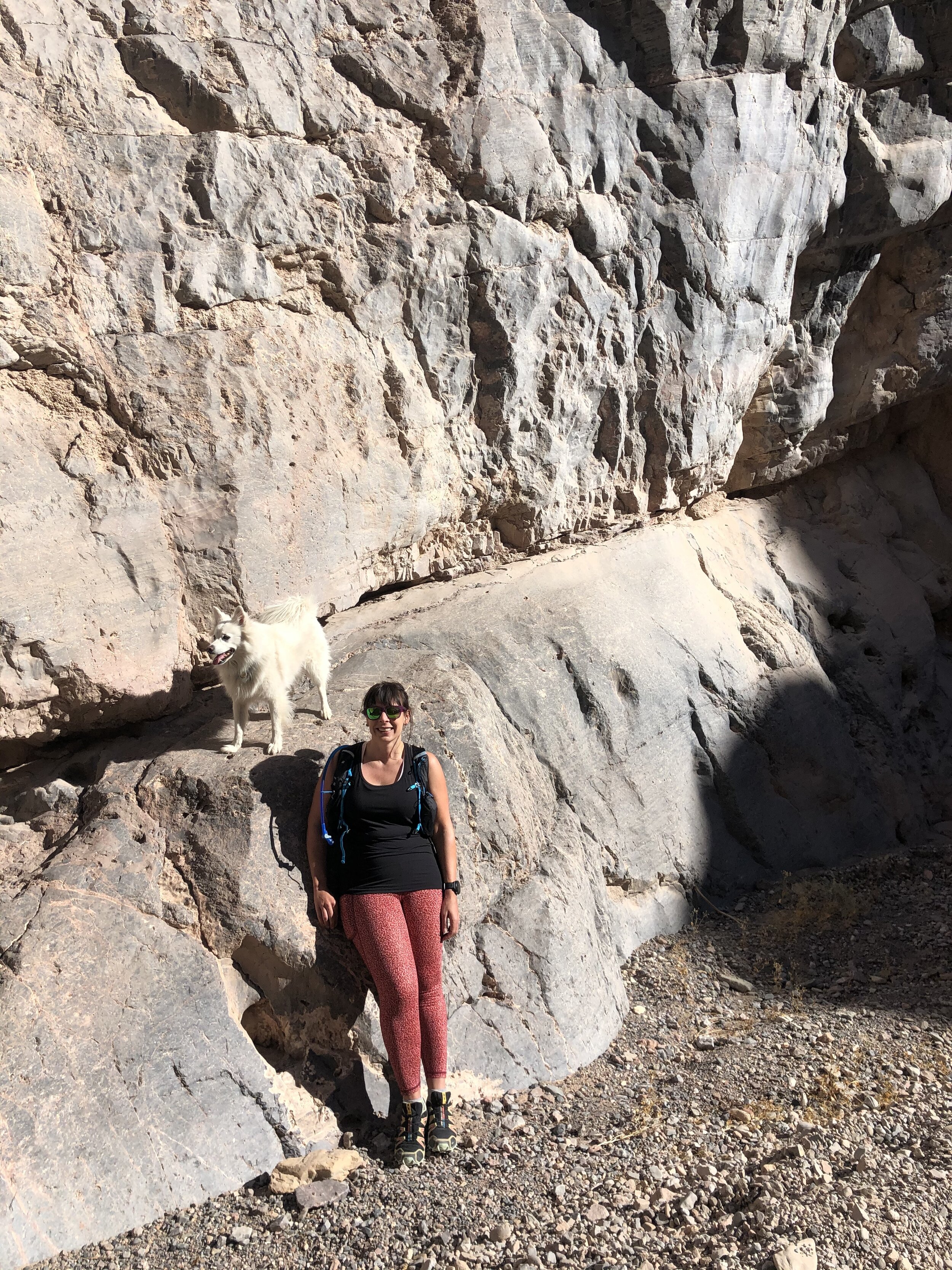
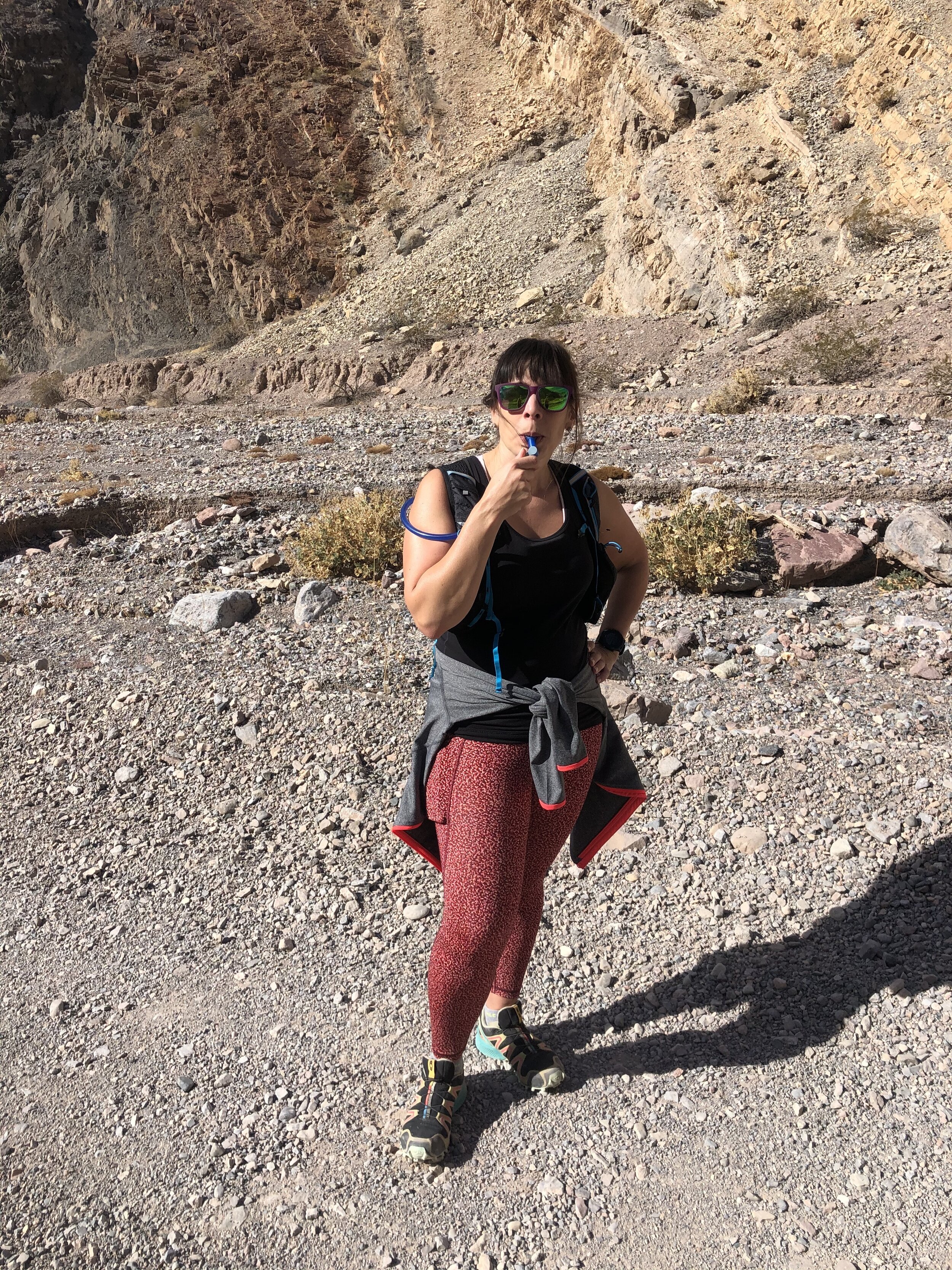
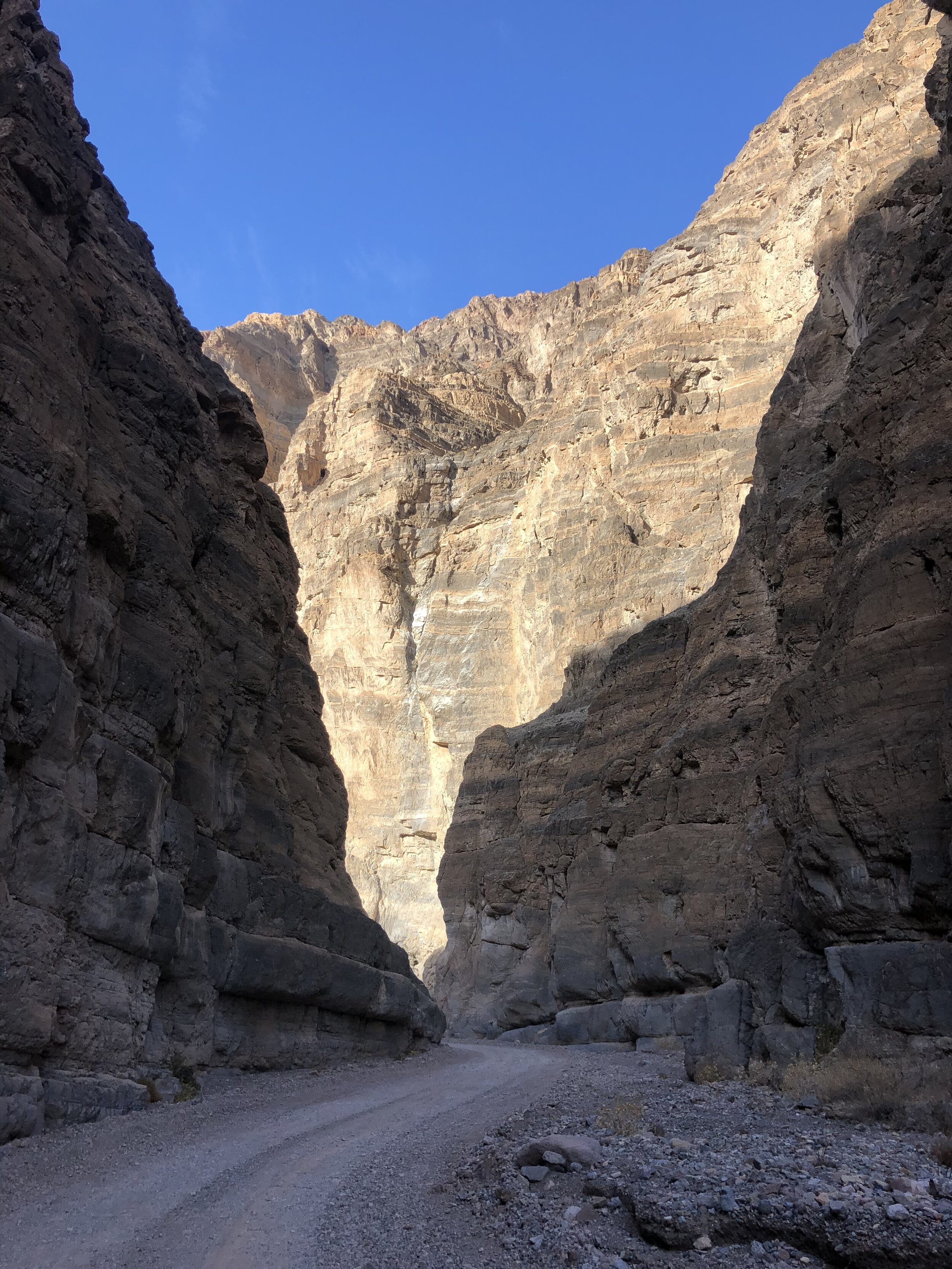
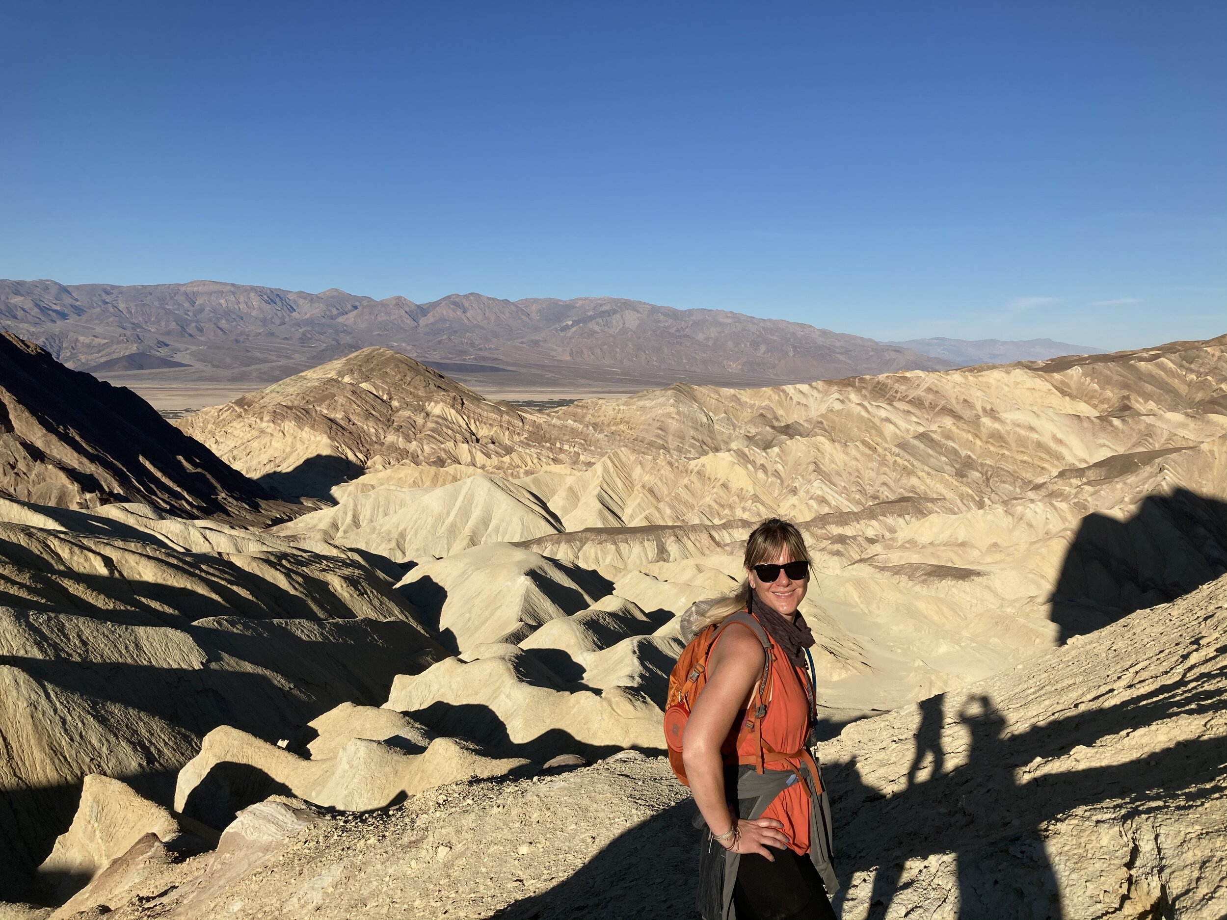
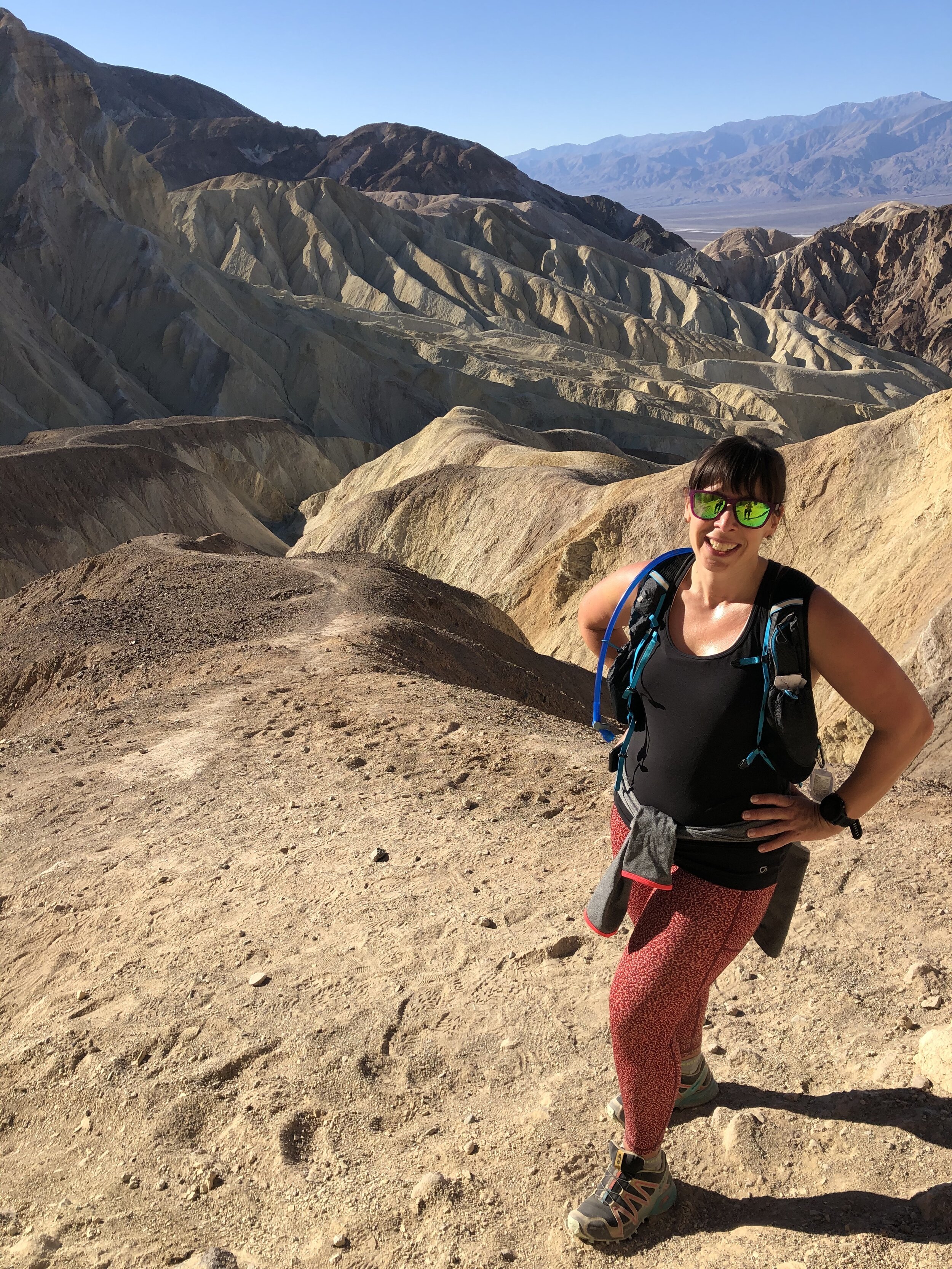
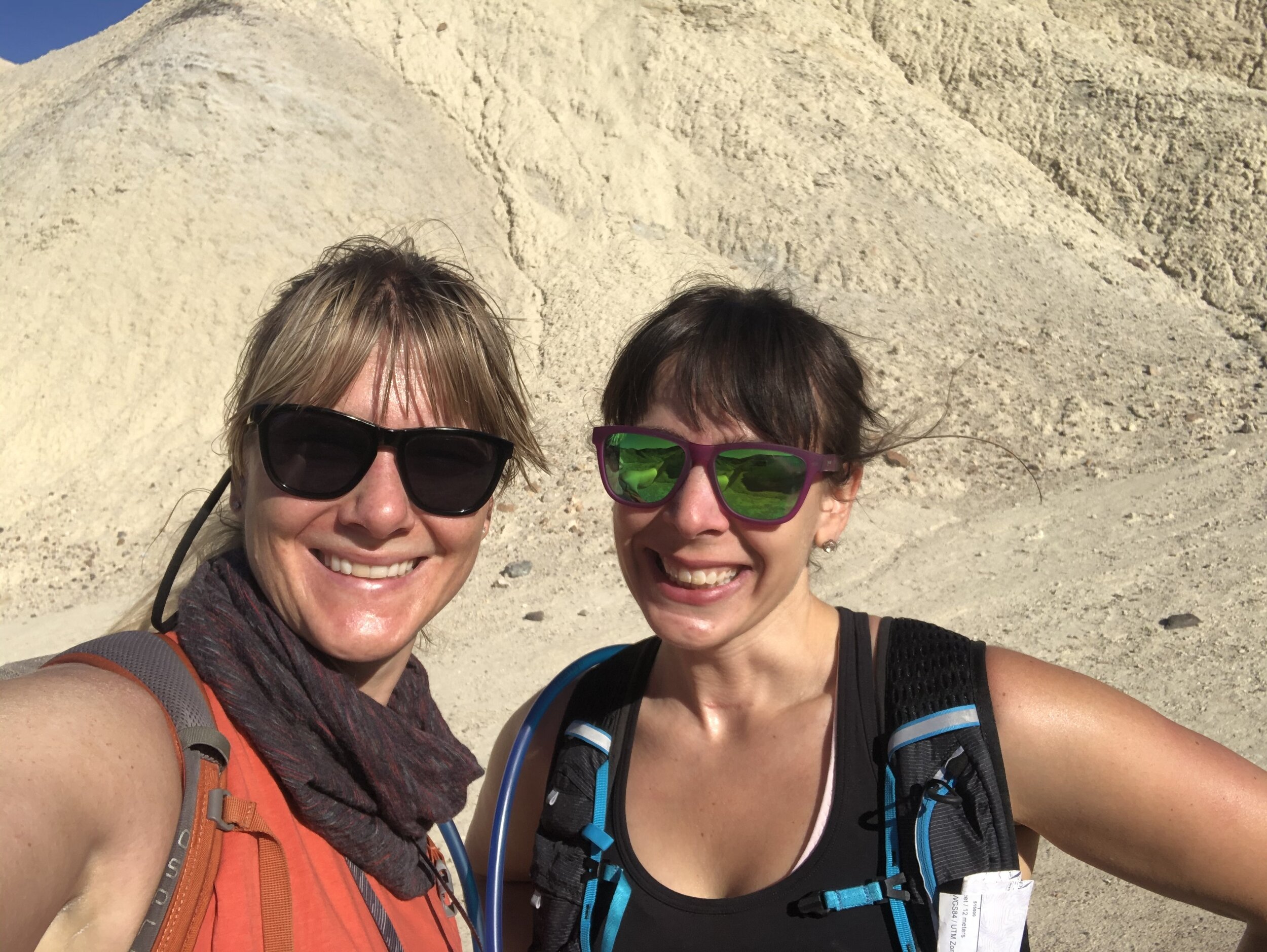
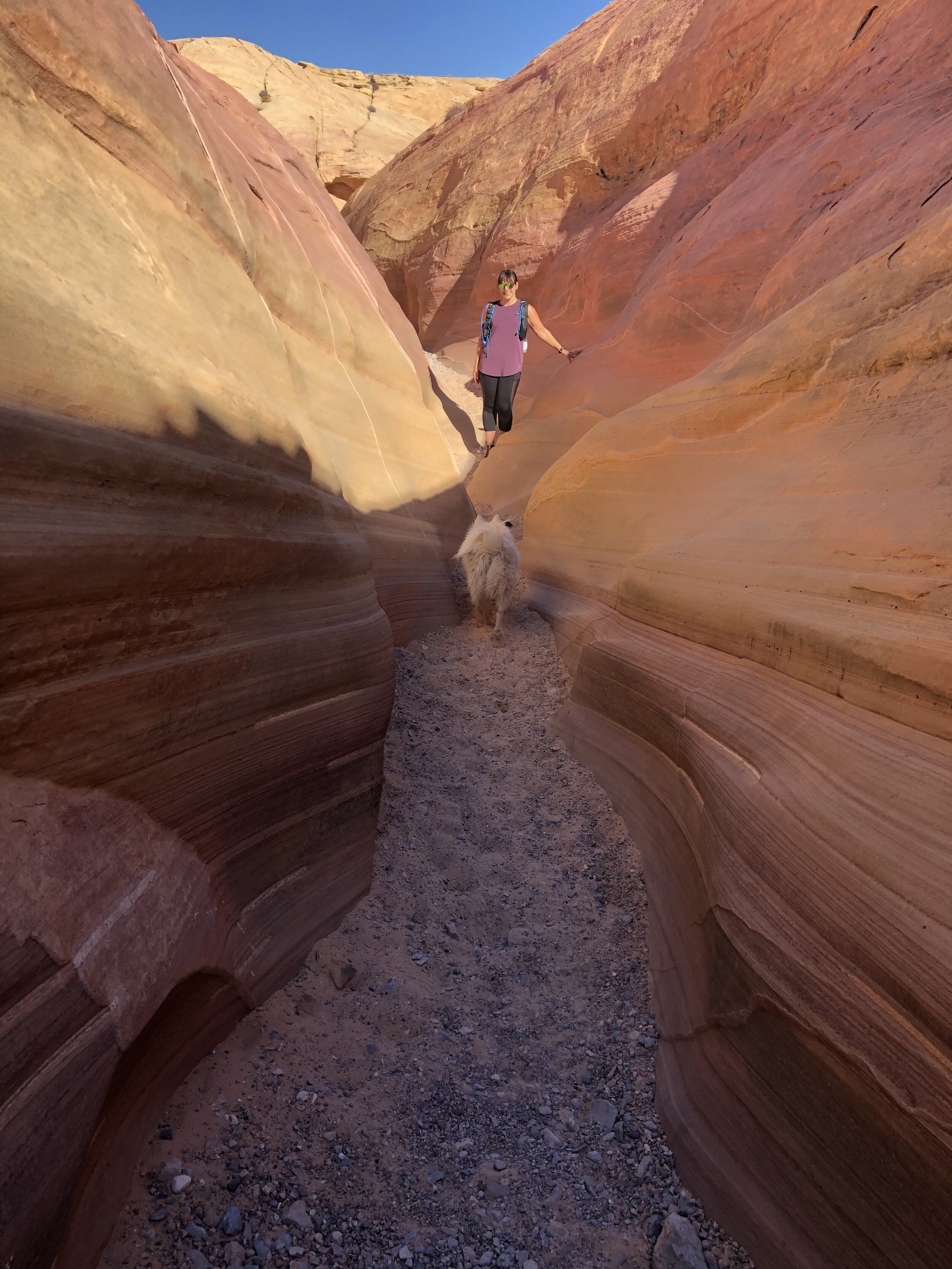
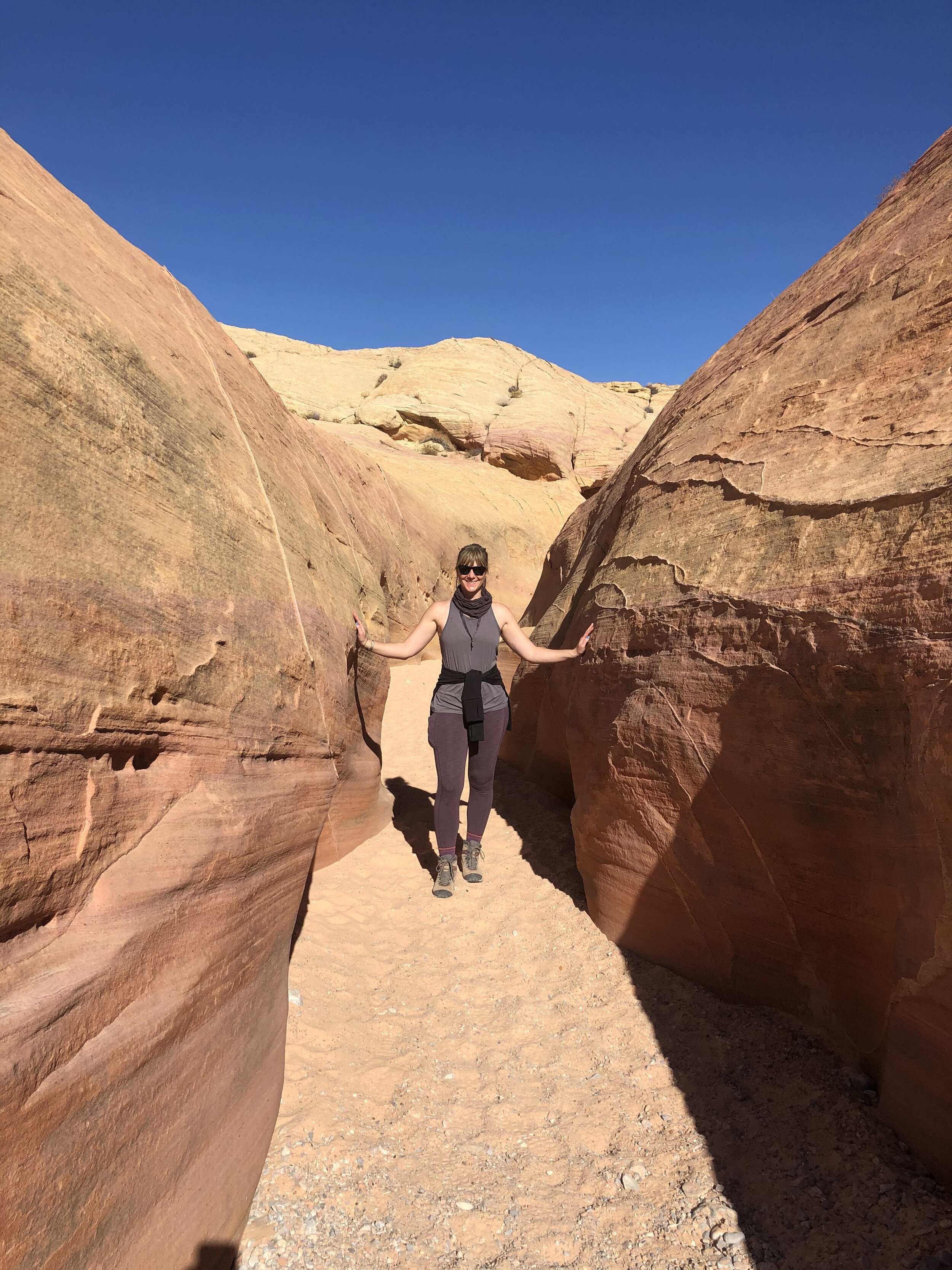
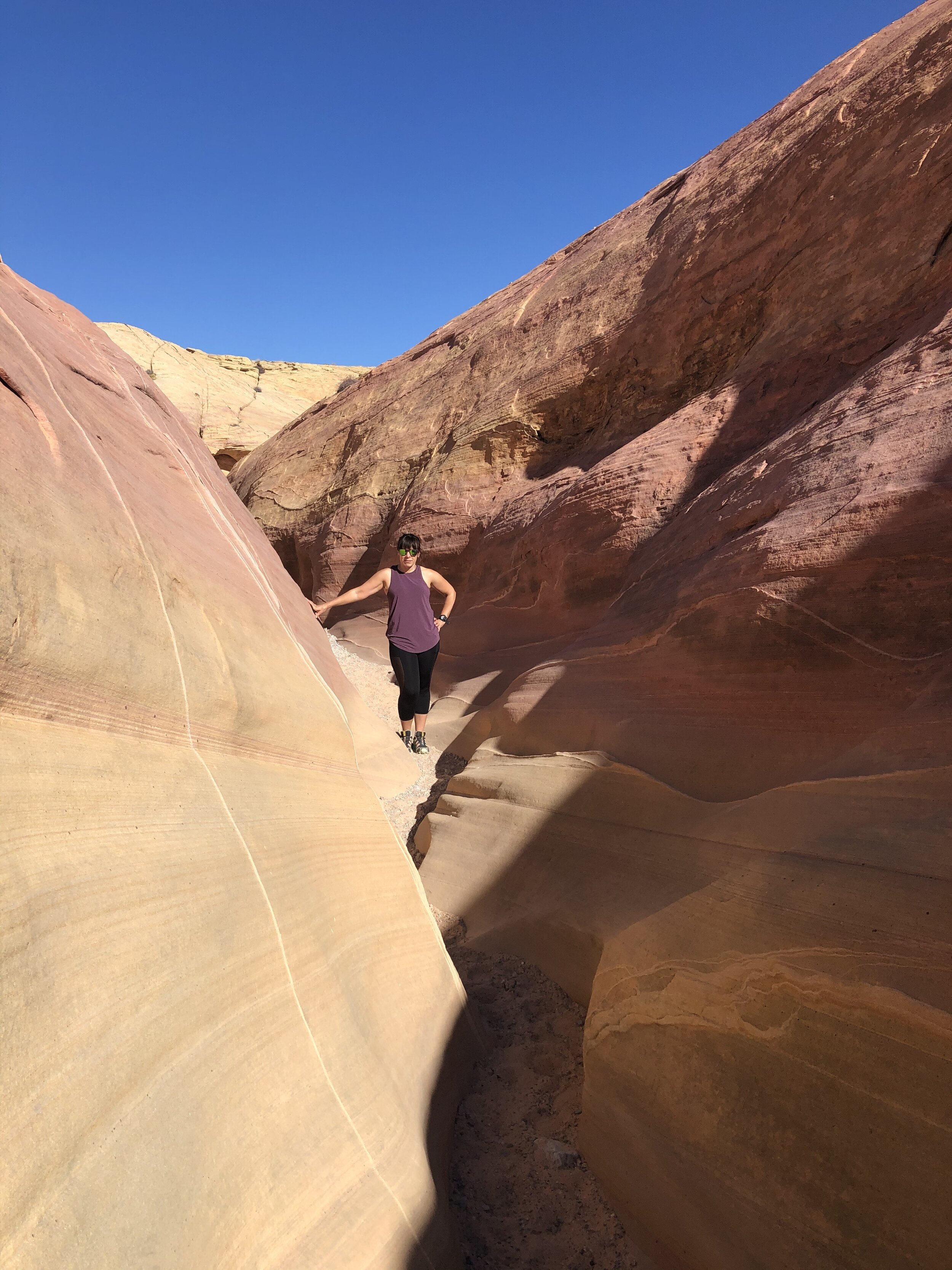
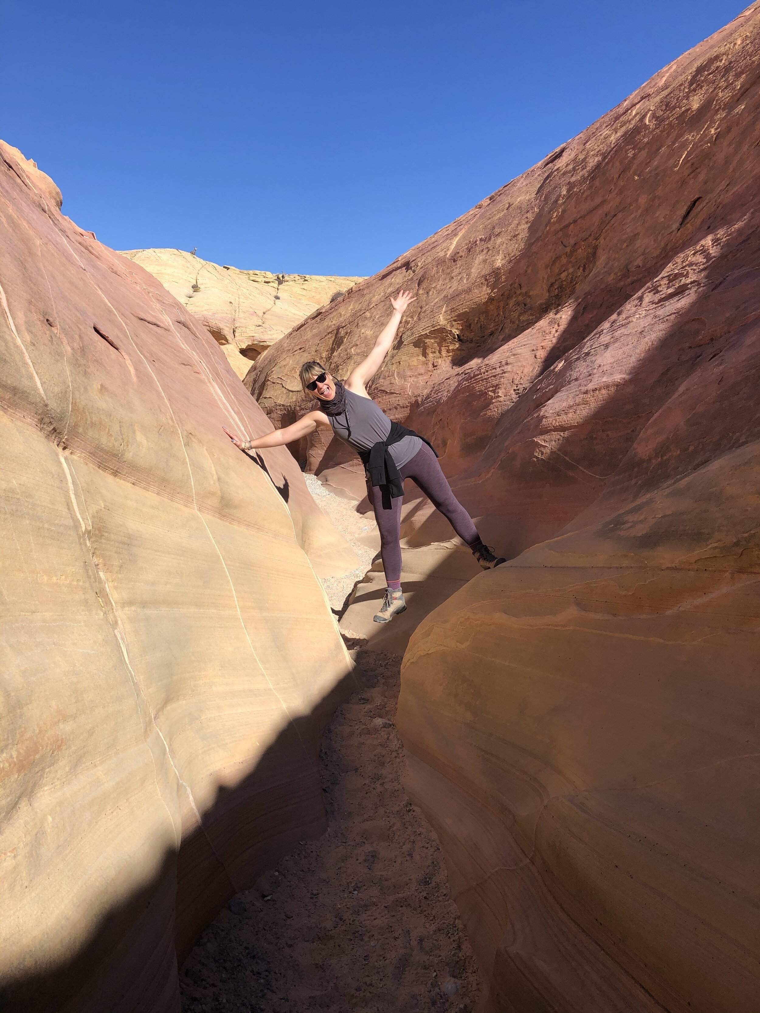
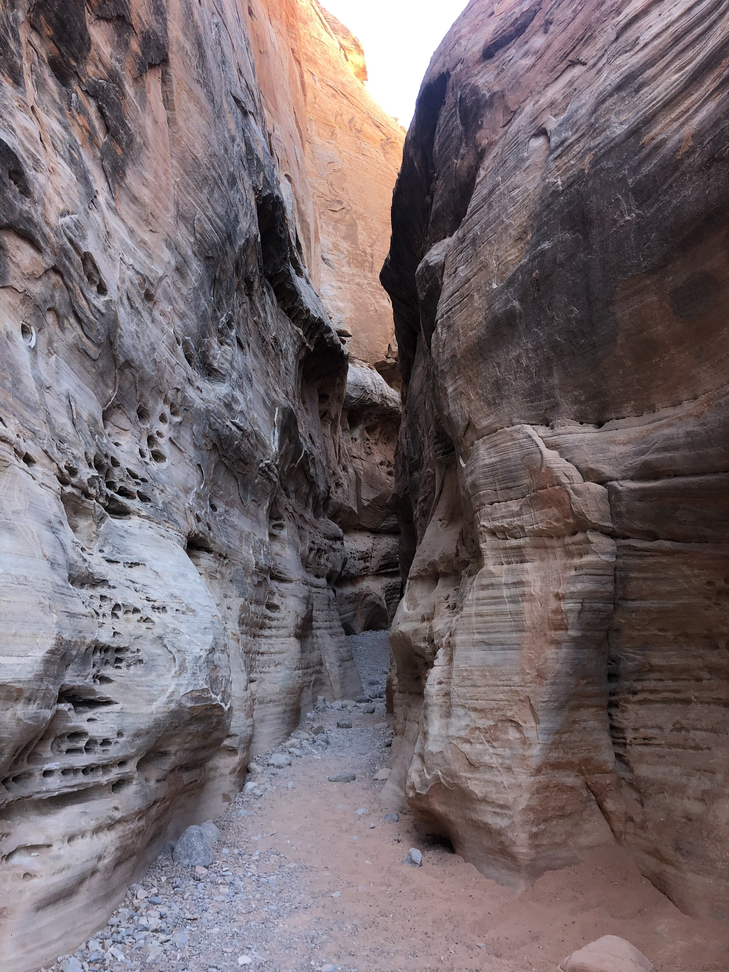
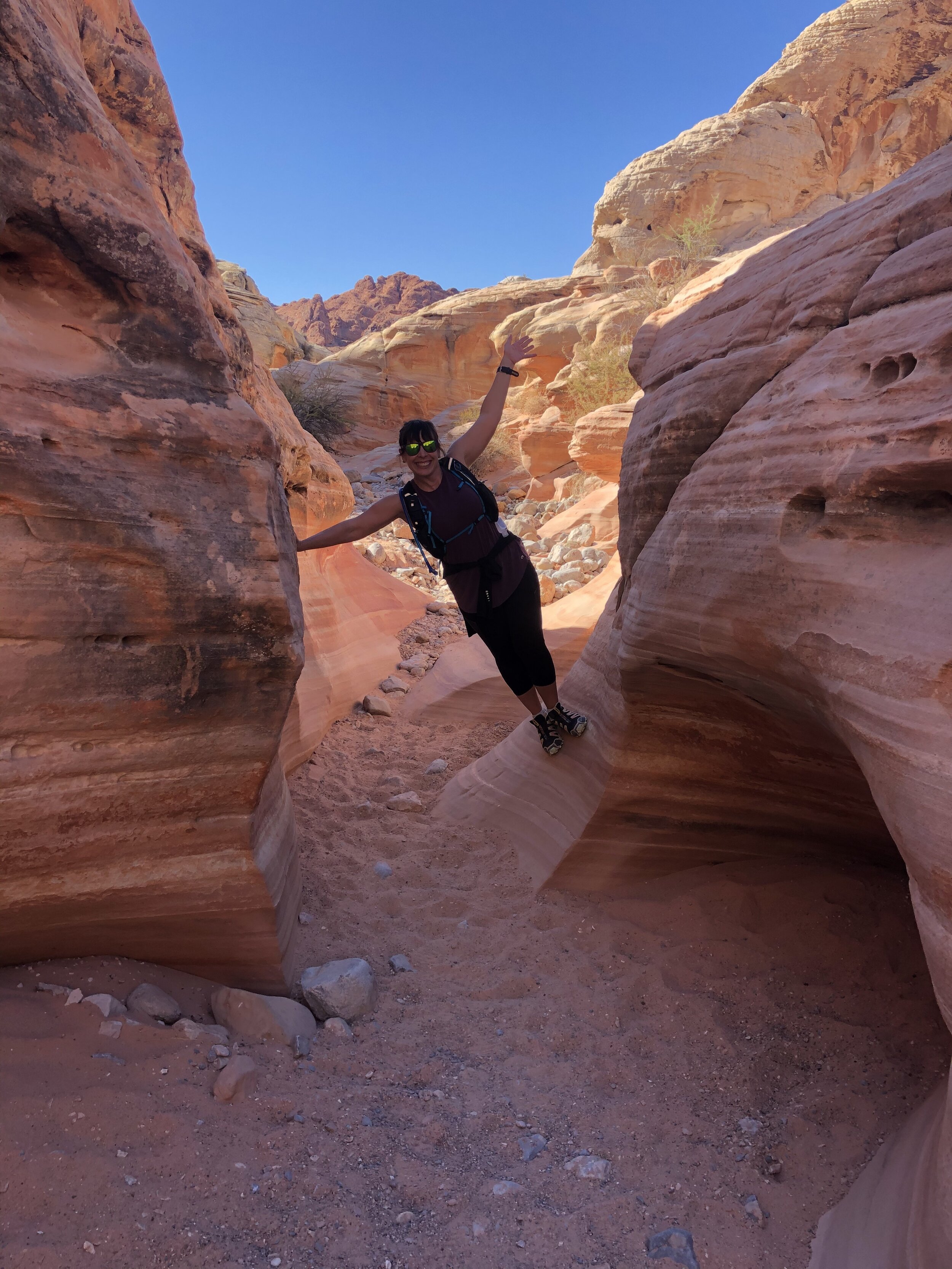
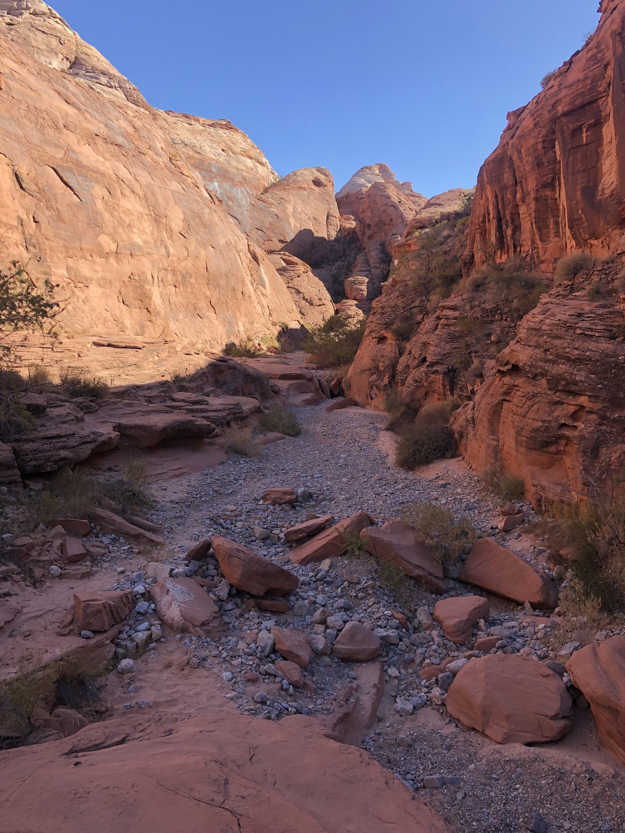
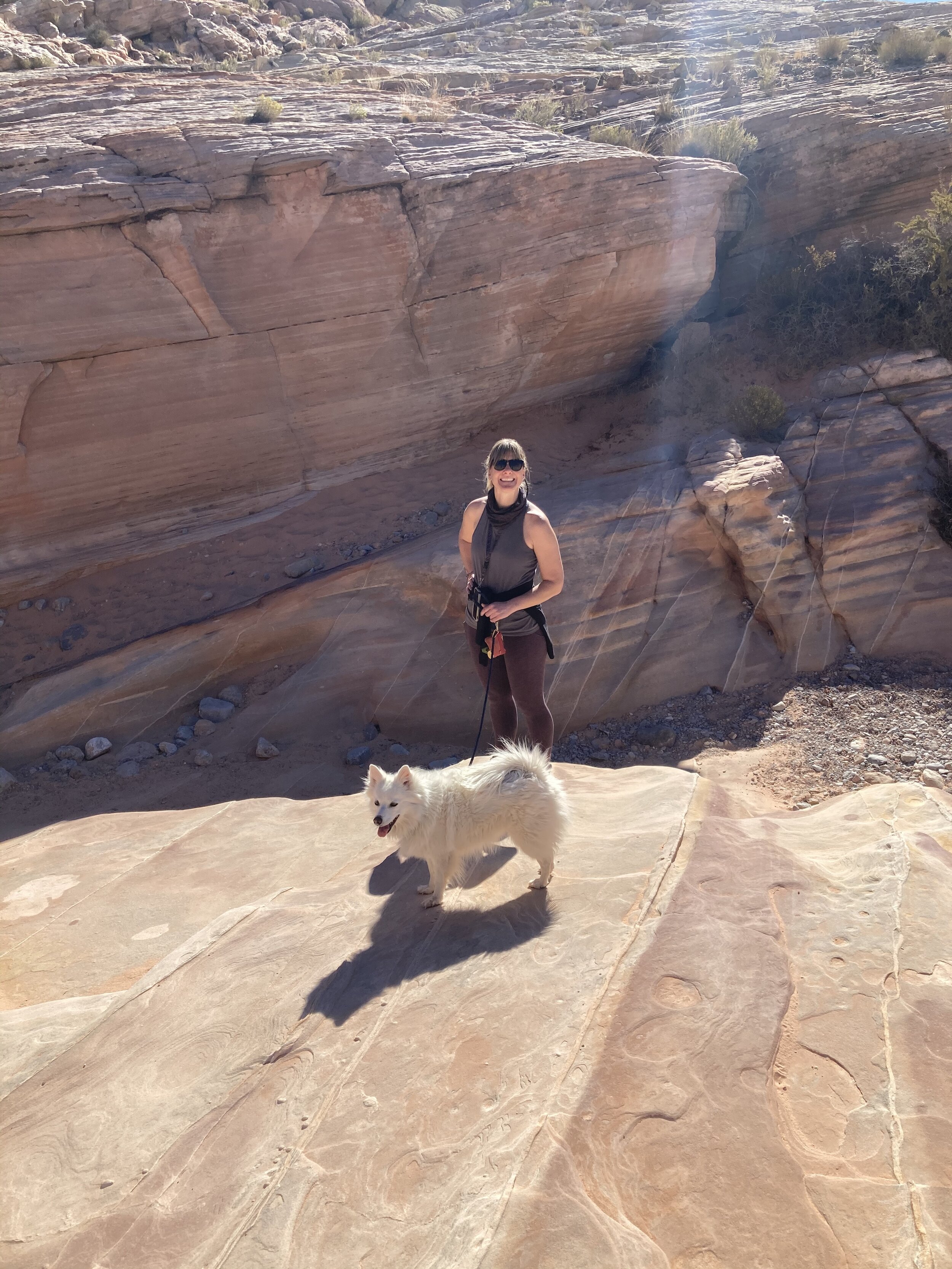
We chose an afternoon hike on which Addie could join us. This hike, Titus Canyon Narrows, is along a 4x4 road, but the ranger informed us that it is scenic, unique, and flexible in that we could go as far as we wanted and turn around. We passed many Jeeps (or I should say, they passed us) - the entire road is 27 miles and connects to one of the major park roads. 

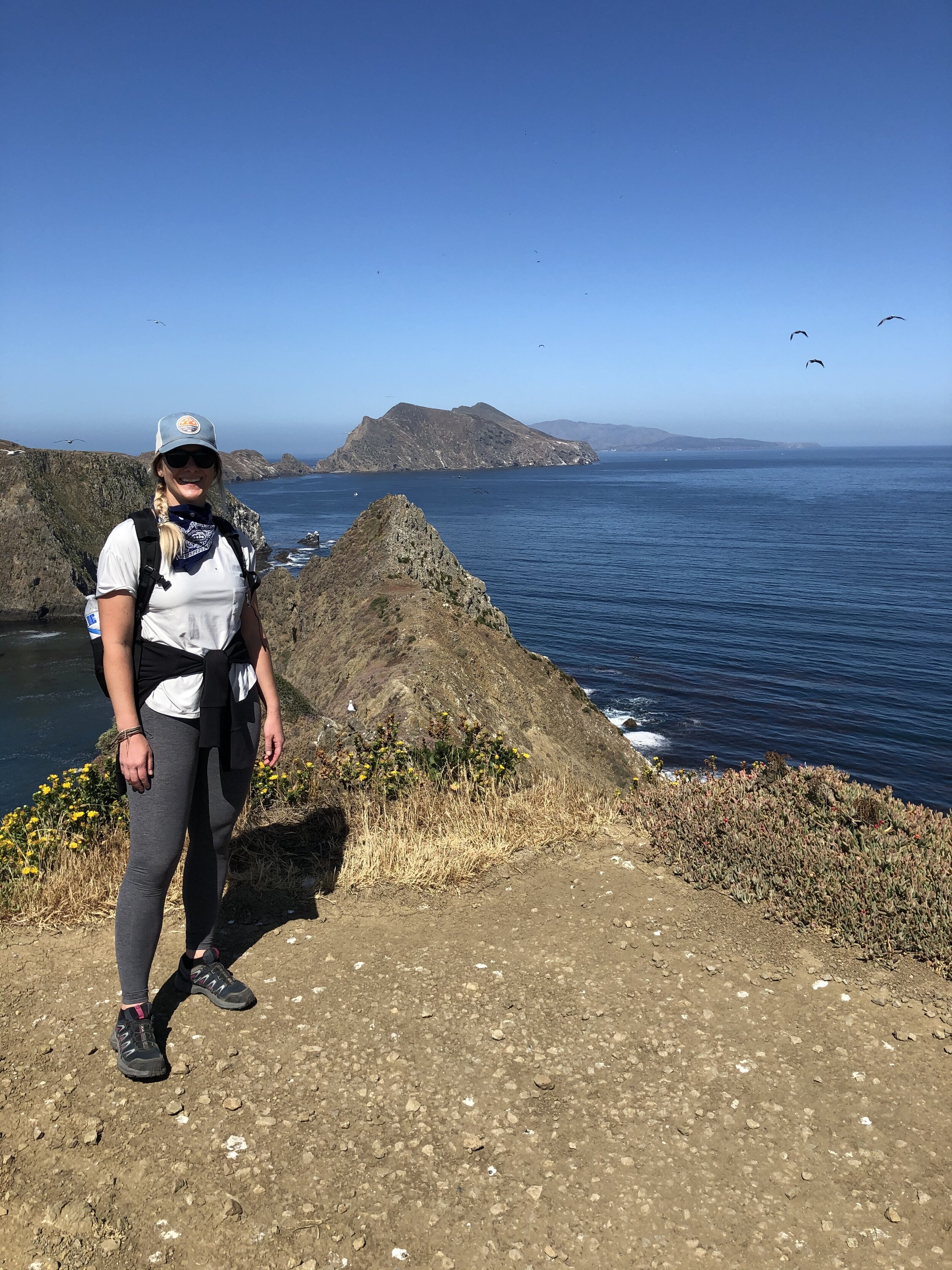
Amanda and I hadn’t hiked together since we summited Mount Kilimanjaro in December 2018. We were long overdue. Also, to add, Amanda and I have been friends since childhood. Born only one month apart, we grew up as neighbors in Connecticut. Over the years, we have remained close friends and both grew to love taking on challenges - especially in the active/outdoor arena. She pushed me to run a few marathons!

And I pushed her to sample the nomad life. hehe.

IMG_2990.jpg
IMG_0767.jpg
IMG_0769.jpg
IMG_0774.jpg
IMG_0776.jpg
IMG_0778.jpg
IMG_2976.jpg
IMG_2979.jpg
IMG_2984.jpg
IMG_2987.jpg
IMG_2988.jpg
IMG_2991.jpg
IMG_2992.jpg
IMG_2990.jpg IMG_0767.jpg IMG_0769.jpg IMG_0774.jpg IMG_0776.jpg IMG_0778.jpg IMG_2976.jpg IMG_2979.jpg IMG_2984.jpg IMG_2987.jpg IMG_2988.jpg IMG_2991.jpg IMG_2992.jpg

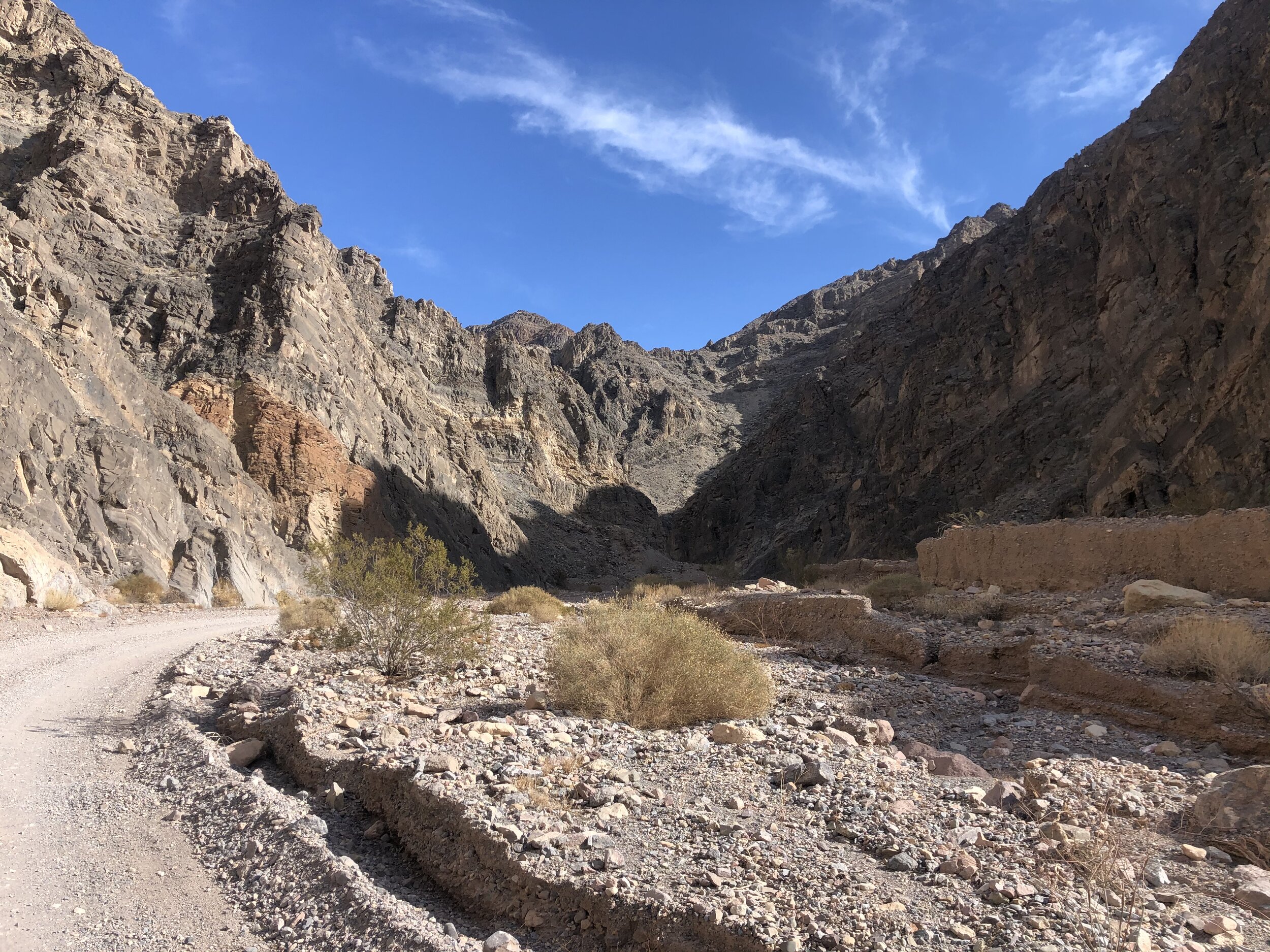
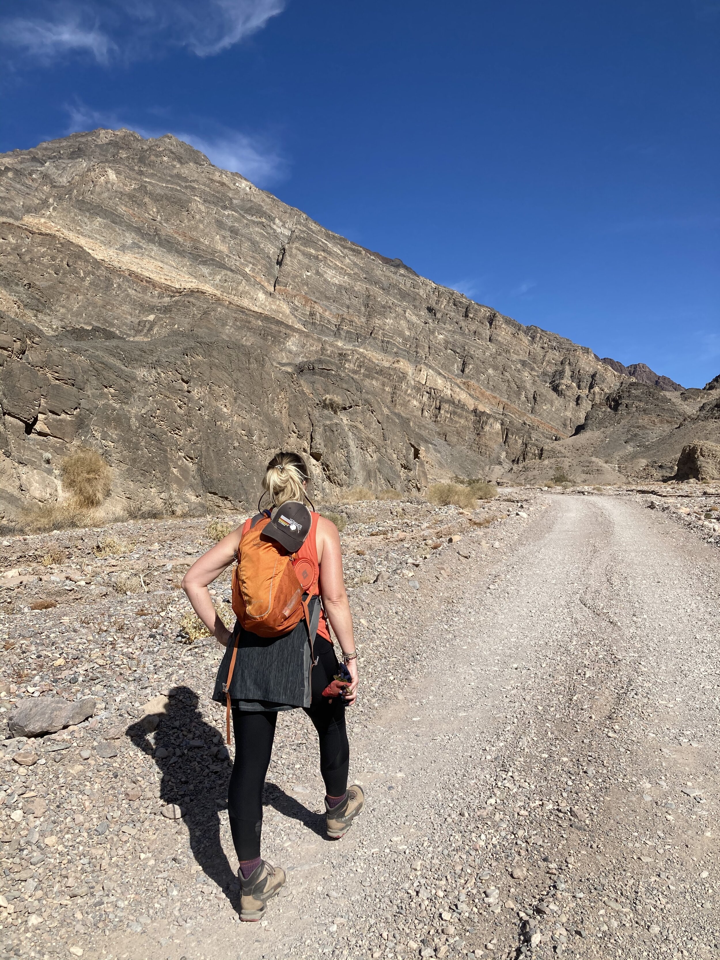
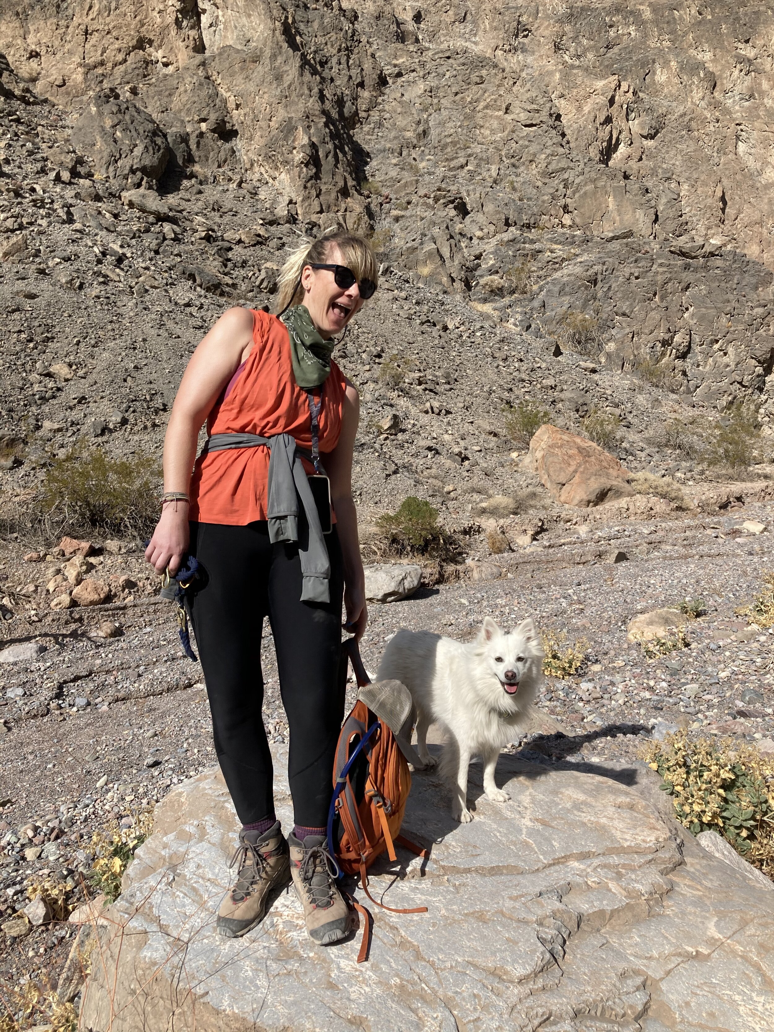
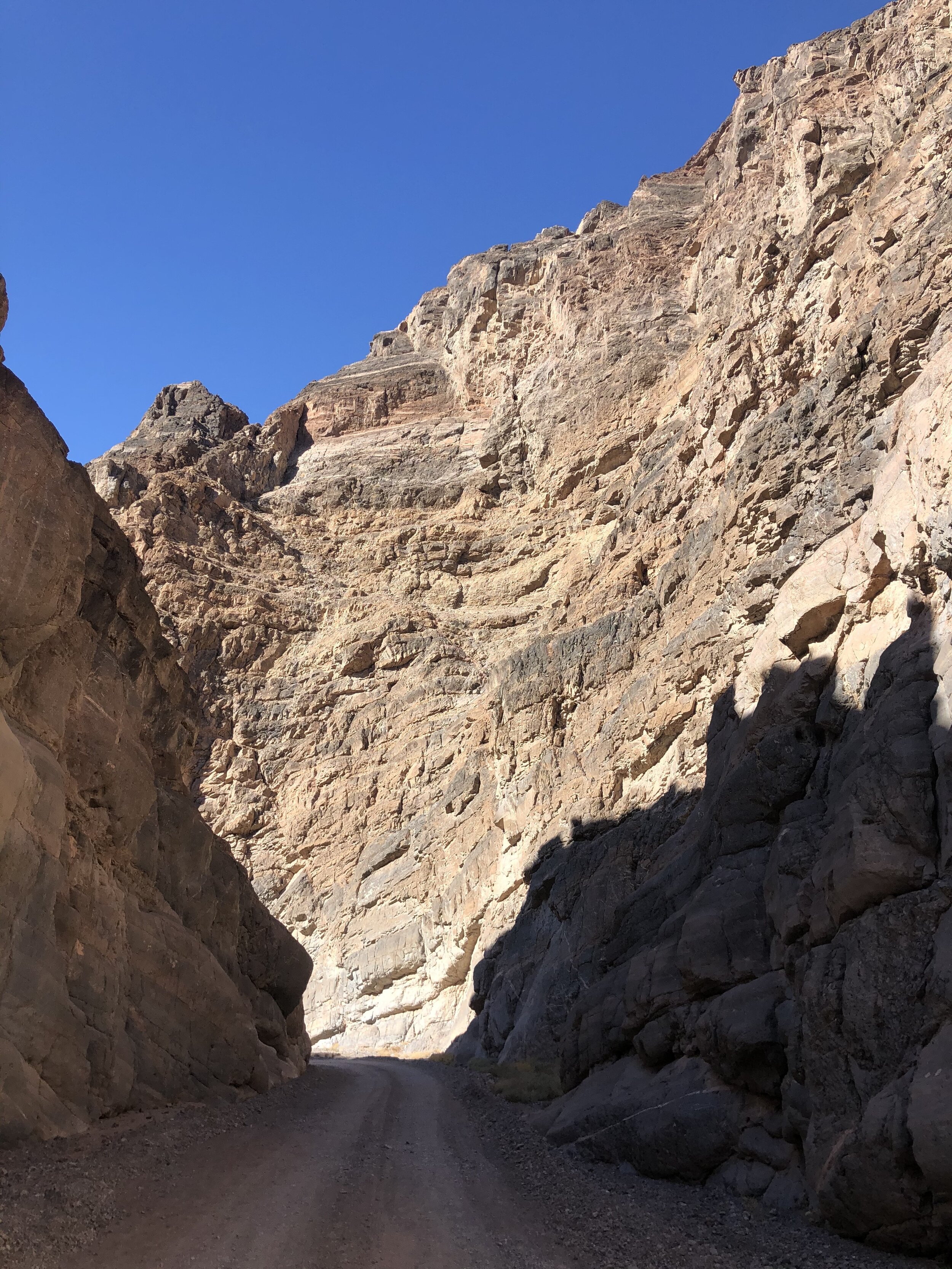
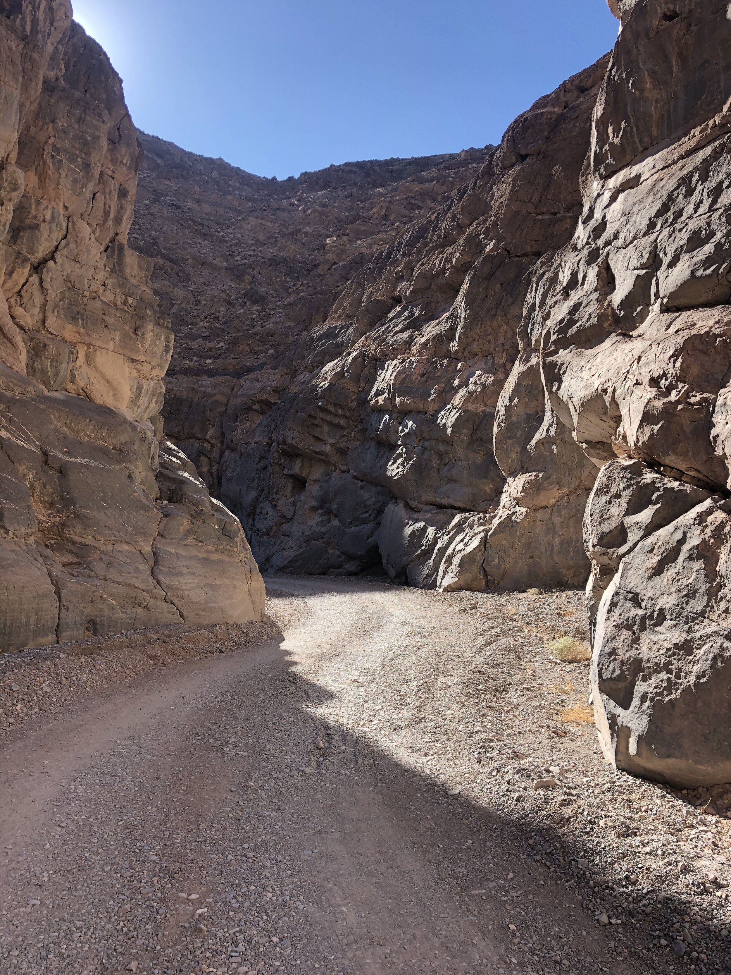
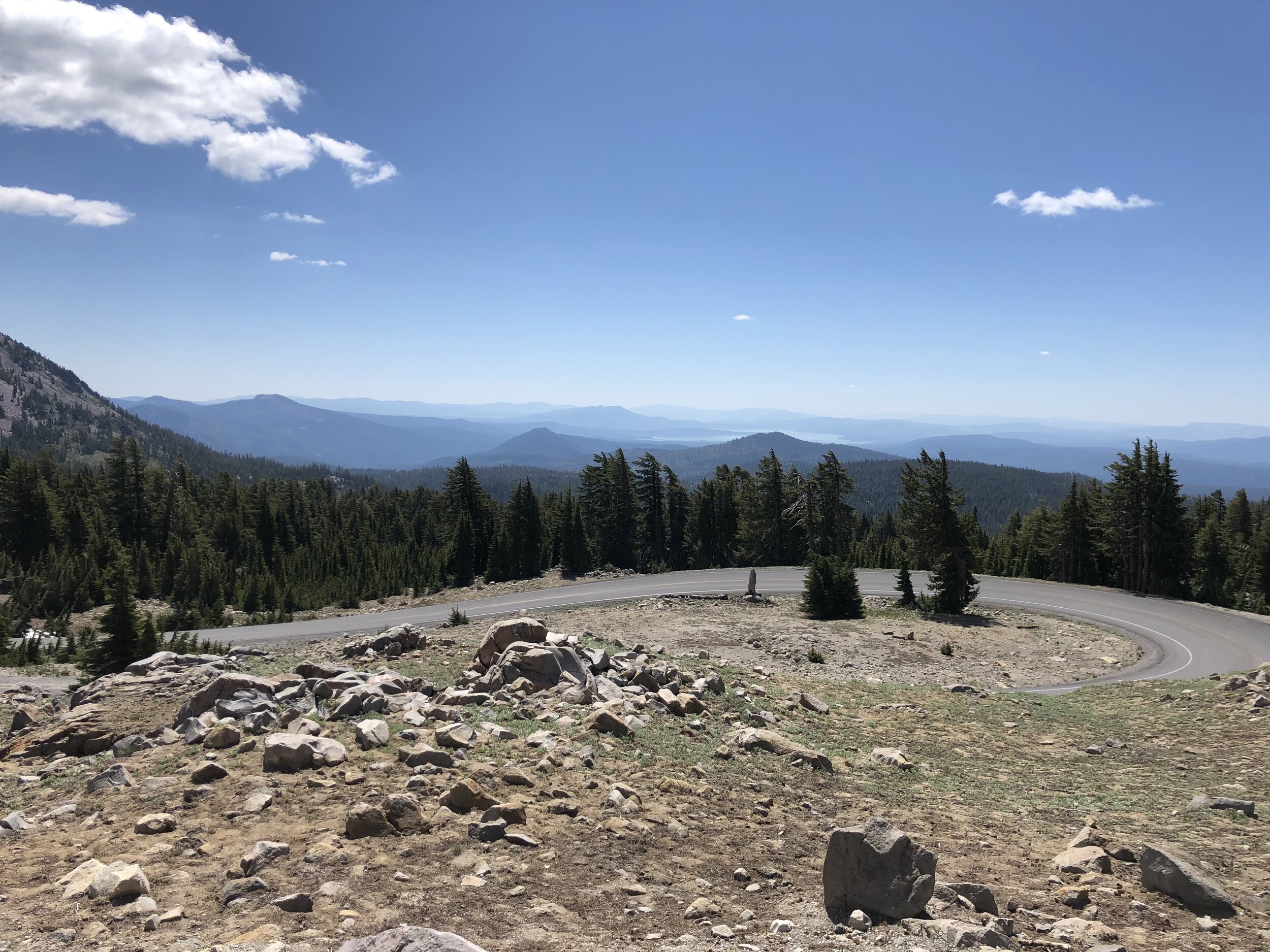
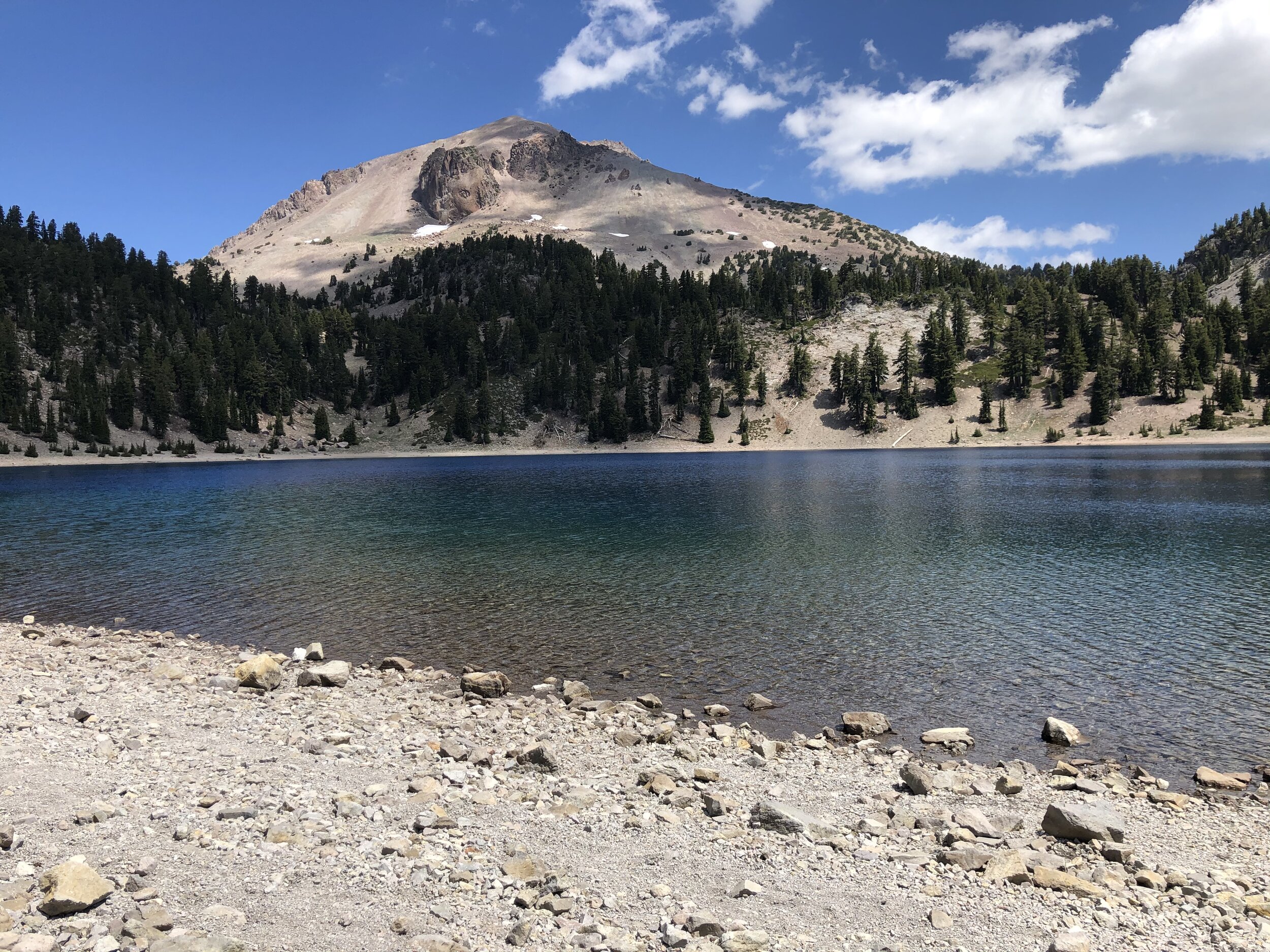
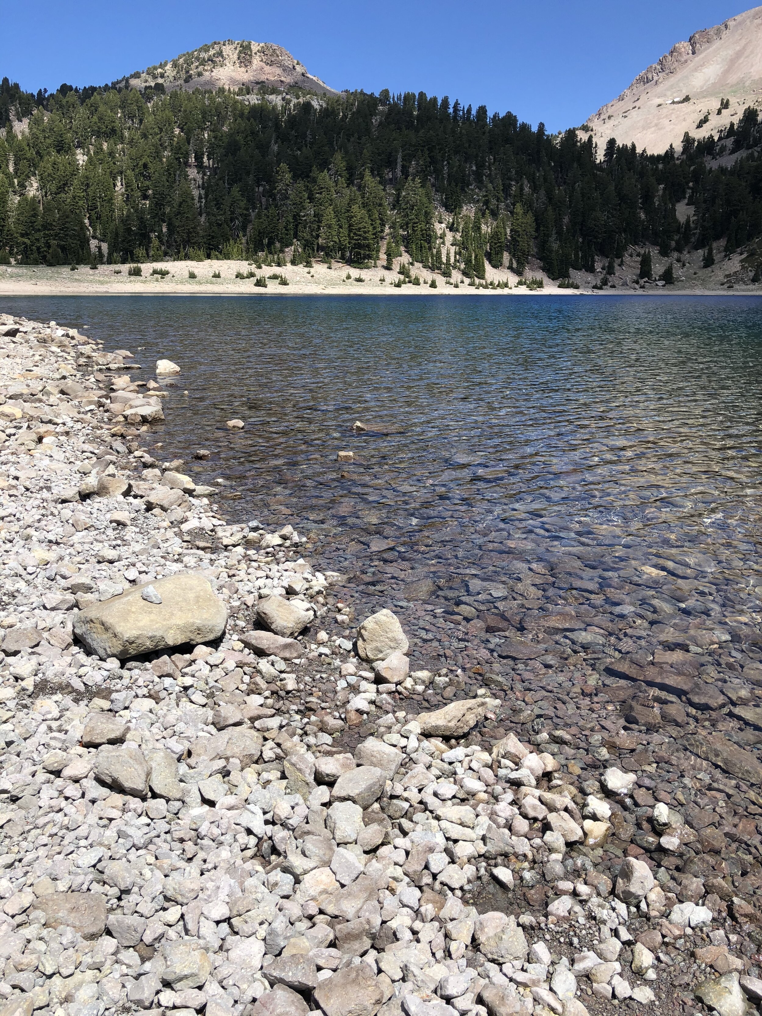
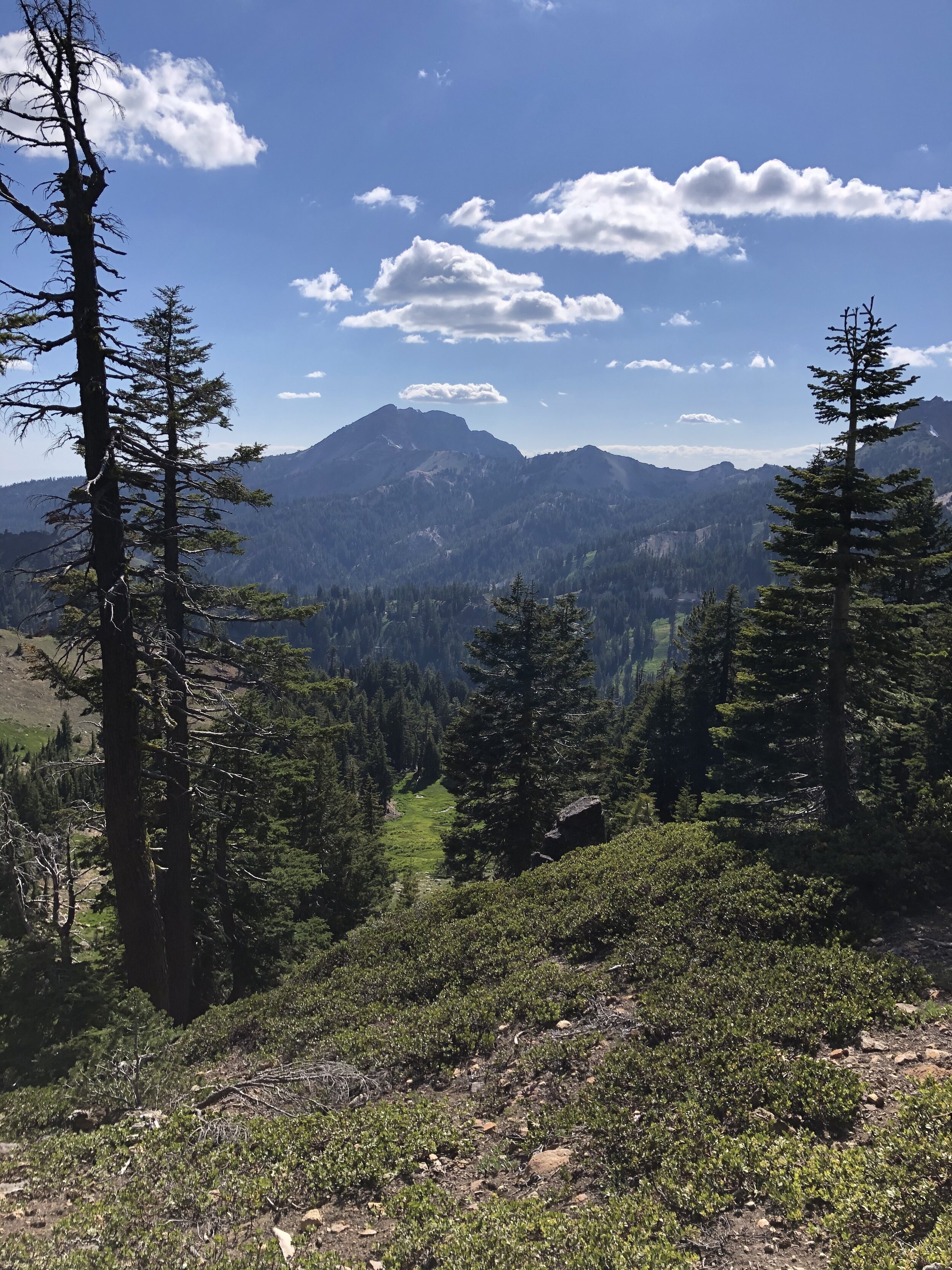
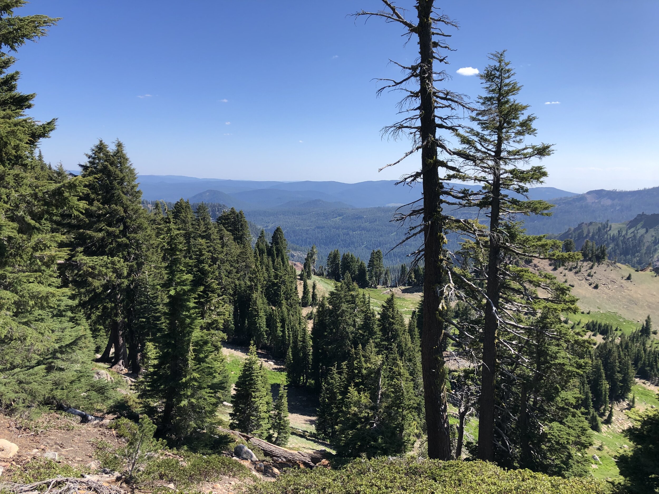
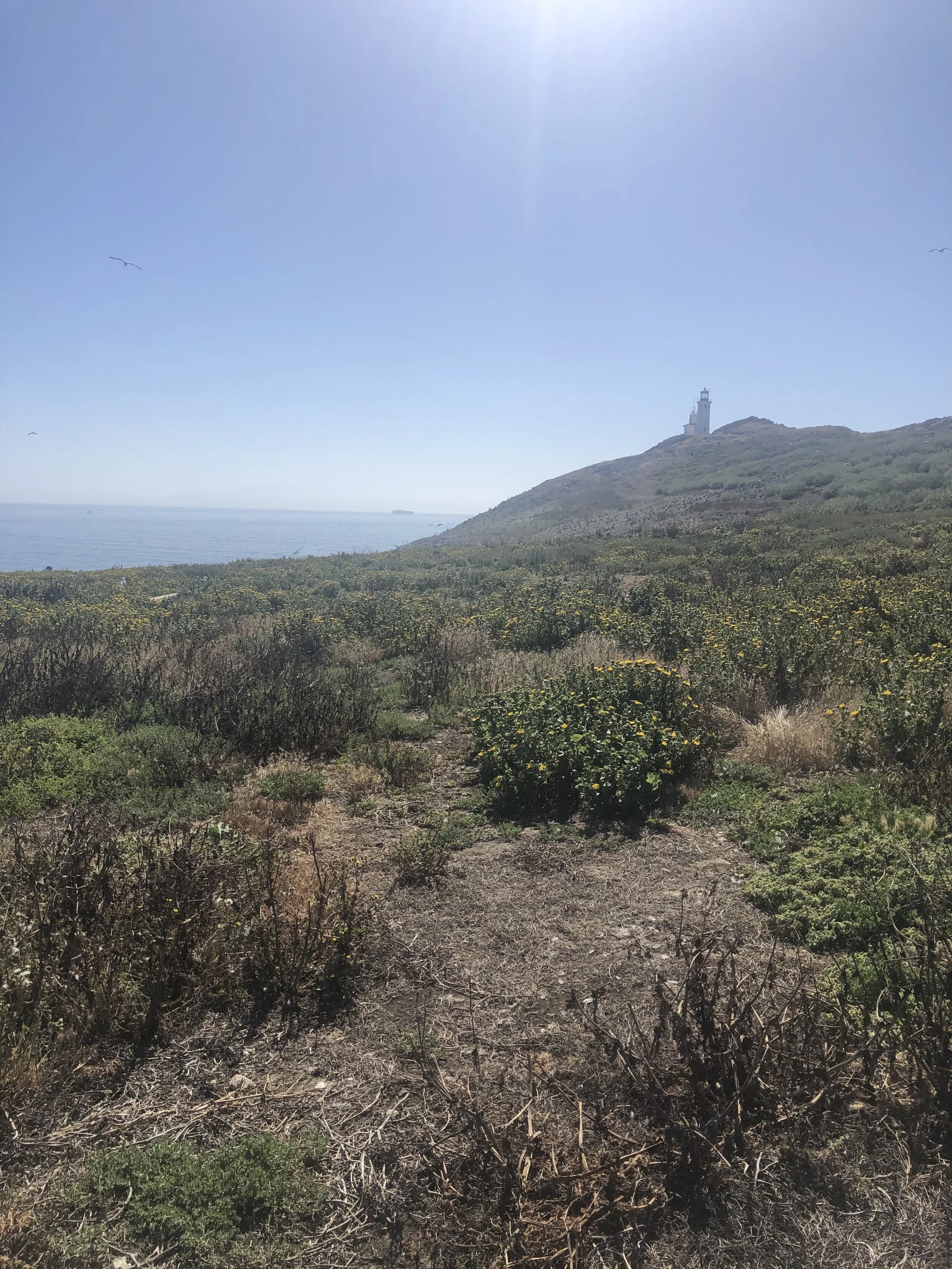
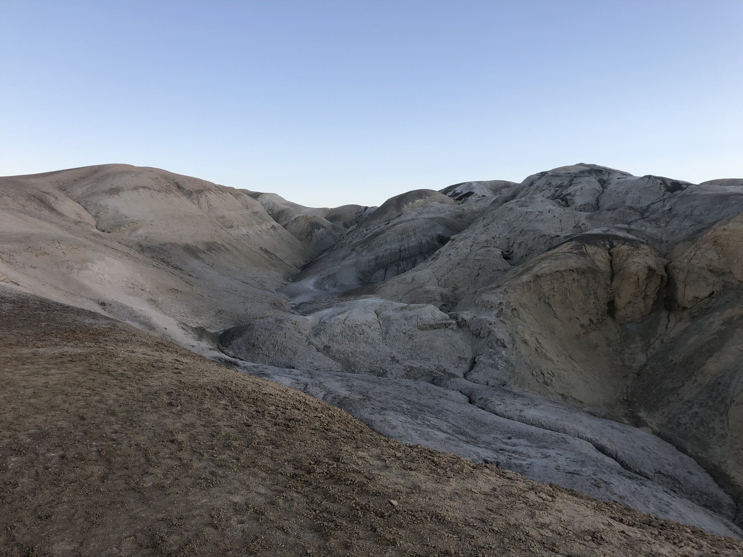
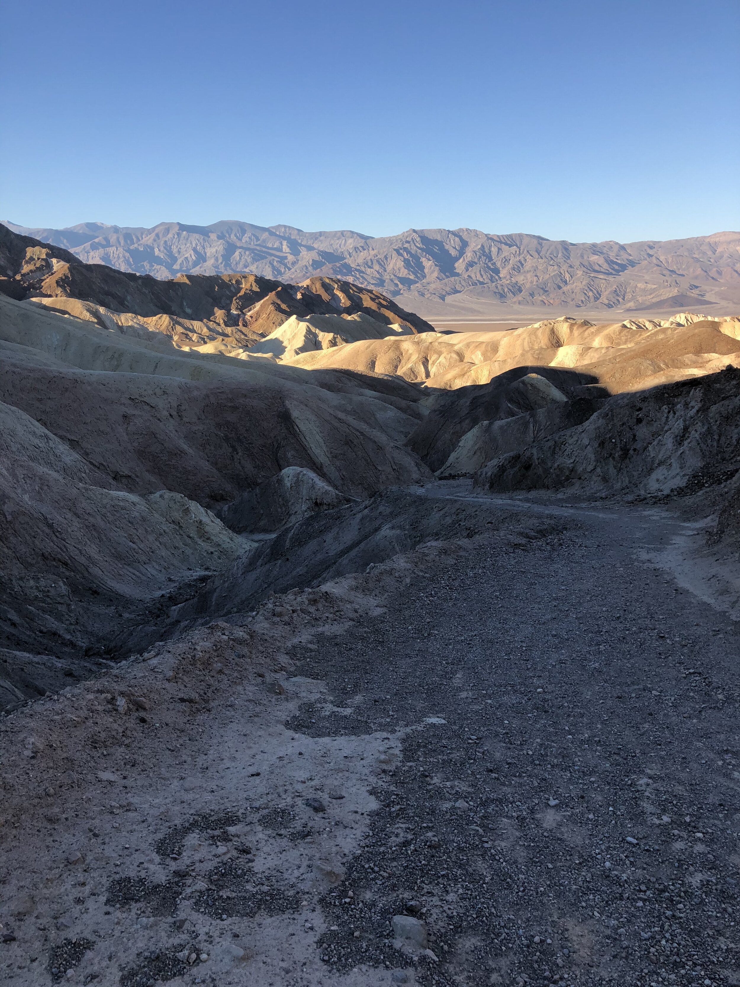
After about three miles out, we turned back for a total of six miles. We then drove up to Dante’s View, which provides a panoramic view of the valley below.

IMG_2995.jpg

A much-needed snack awaited us back at the campsite, so we headed “home.” This is where I asked Amanda to stand on a bucket. That’s right. I needed her to help me record a video of me, and I wanted it to be taken at eye-level. We needed a little “boost” for her.

IMG_3030.jpg

Do you know how many uses a bucket has when you’re on the road? So many. Here are a few:

  1. Step stool (example above)

  2. Seat

  3. Vessel to transport water or other items

  4. Trash can

  5. Washing bin

I digress.

Day #3: Death Valley to Valley of Fire

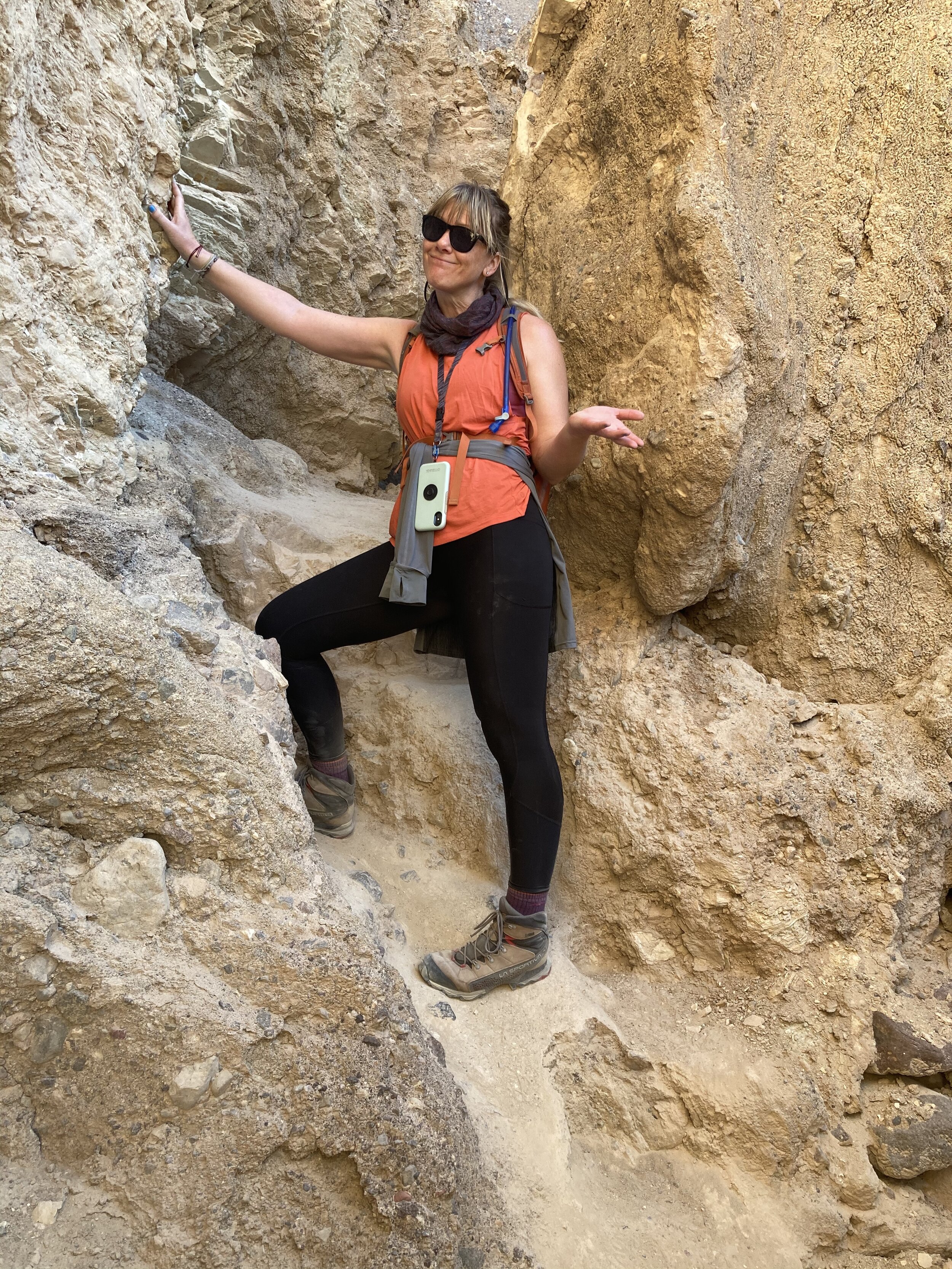
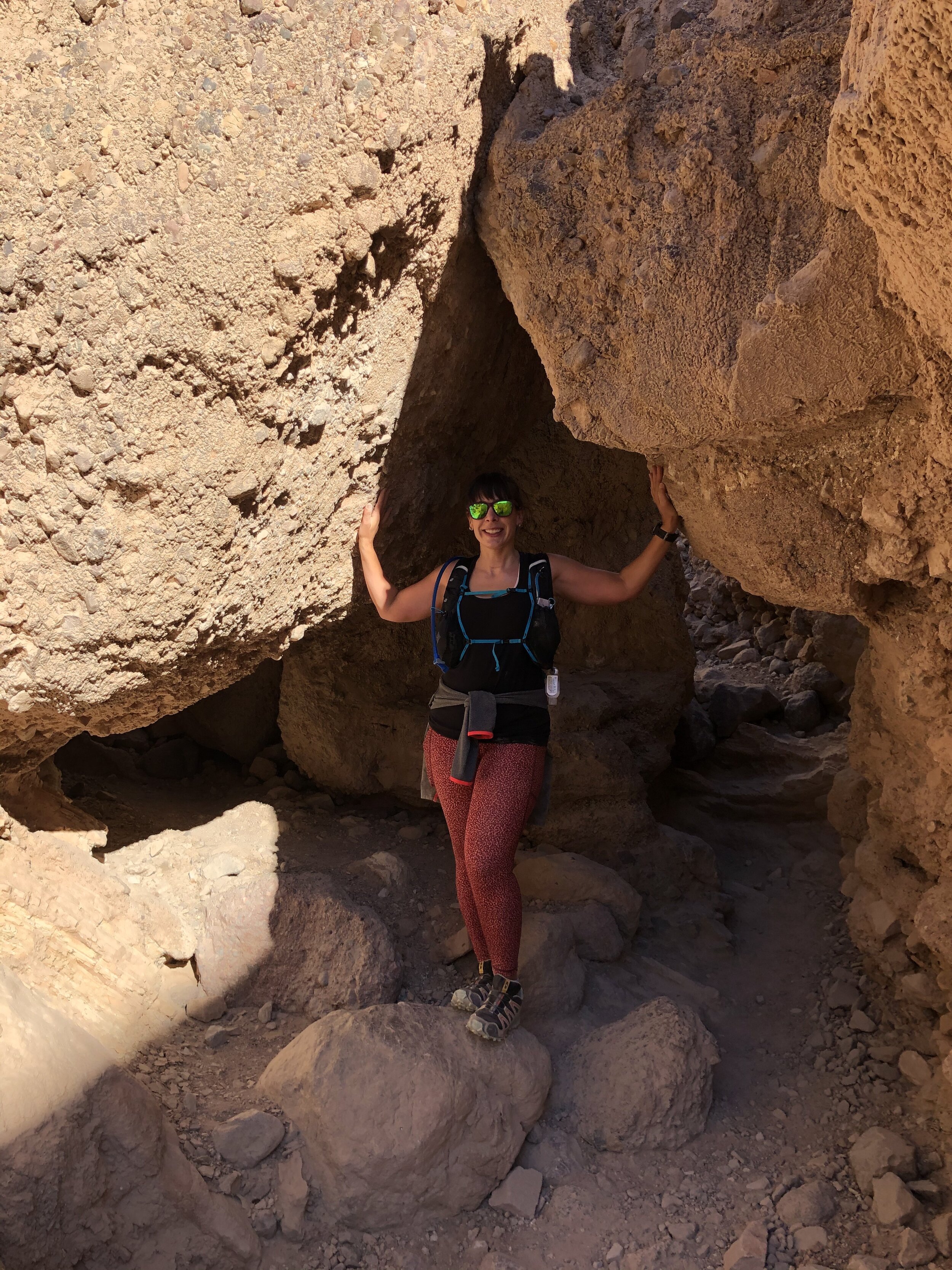
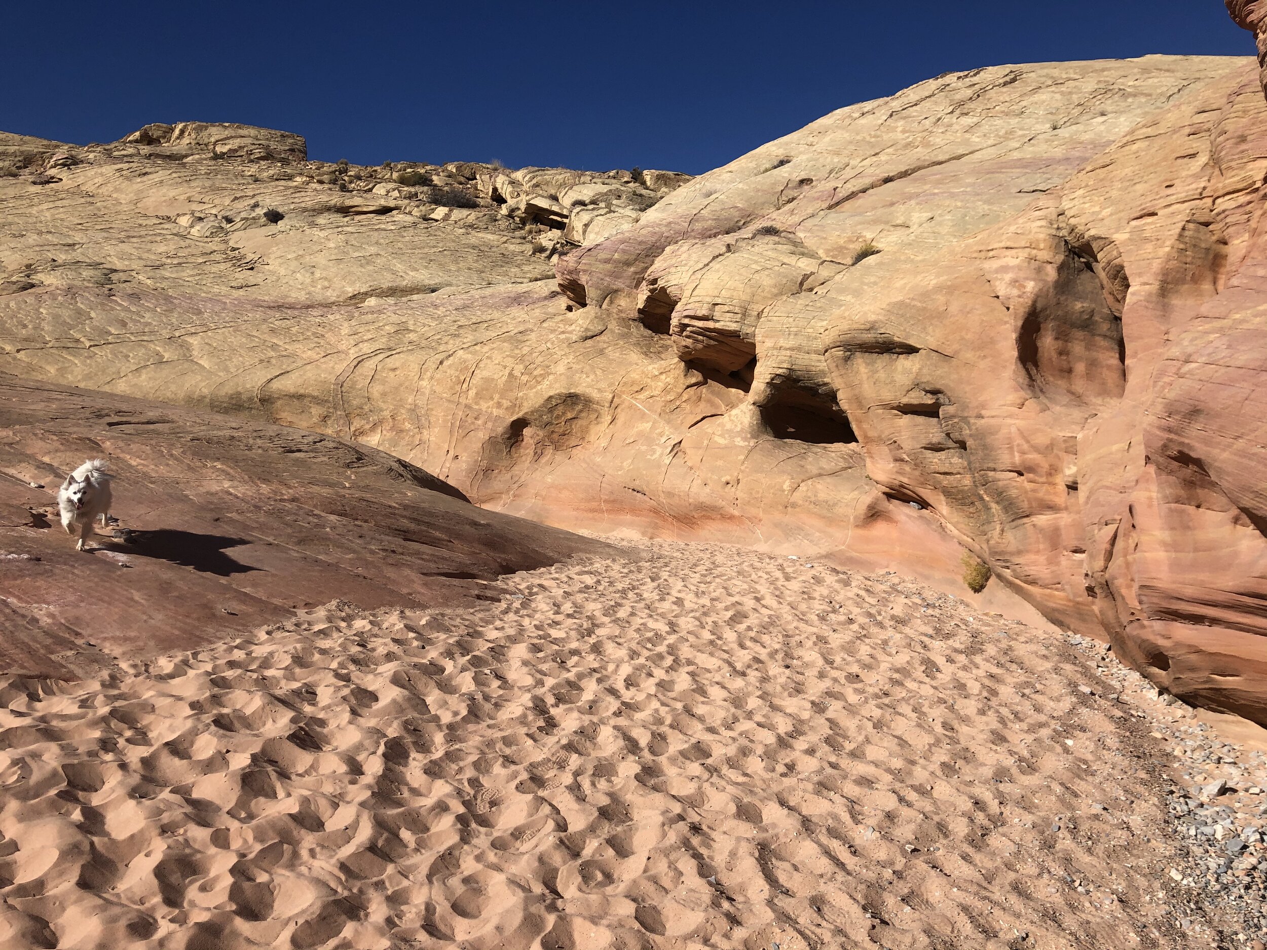
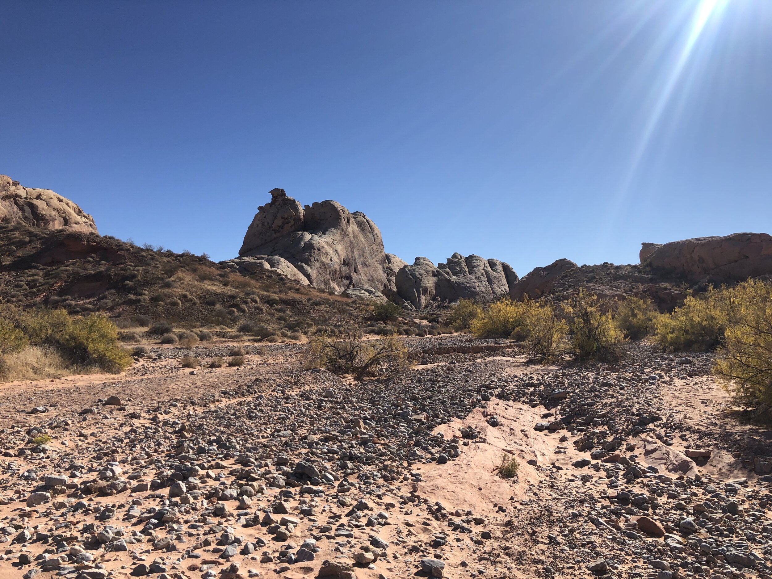
The next day we left Death Valley for Valley of Fire, but not before we squeezed in one more hike. We wanted to see the Red Cathedral. We were up and at it before Addie’s desired wake-up time, so she happily slept in the Airstream while we hiked.

IMG_3054.jpg
IMG_0804.jpg
IMG_3050.jpg
IMG_3052.jpg
IMG_0813.jpg
IMG_3055.jpg
IMG_3069.jpg
IMG_3057.jpg
IMG_3058.jpg
IMG_0811.jpg
IMG_3061.jpg
IMG_3070.jpg
IMG_3072.jpg
IMG_3054.jpg IMG_0804.jpg IMG_3050.jpg IMG_3052.jpg IMG_0813.jpg IMG_3055.jpg IMG_3069.jpg IMG_3057.jpg IMG_3058.jpg IMG_0811.jpg IMG_3061.jpg IMG_3070.jpg IMG_3072.jpg

Valley of Fire was about a three-hour drive from Death Valley. We made a few pitstops through small towns before arriving at Valley of Fire State Park. We drove through the park to the other side to find a pretty solid dispersed camping area. Amanda was getting a pretty good snapshot of my accommodations on the road: an RV park, a park campground, and a dispersed campground.

IMG_3100.jpg

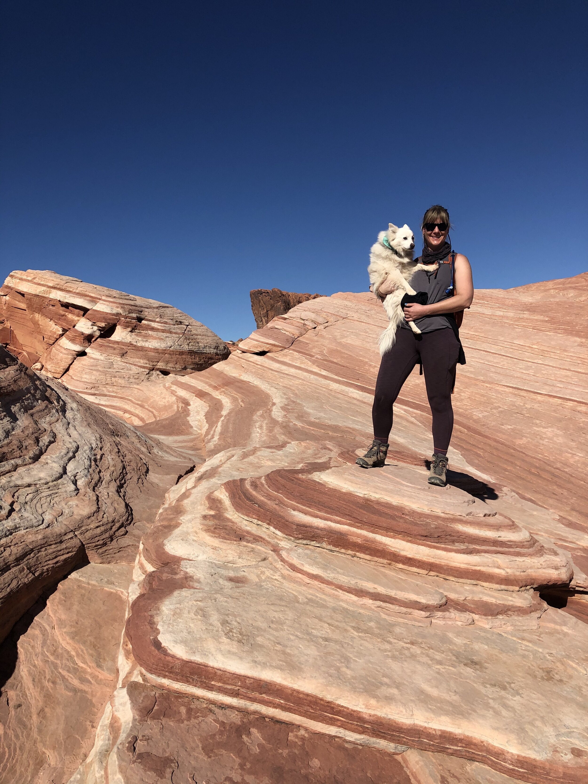
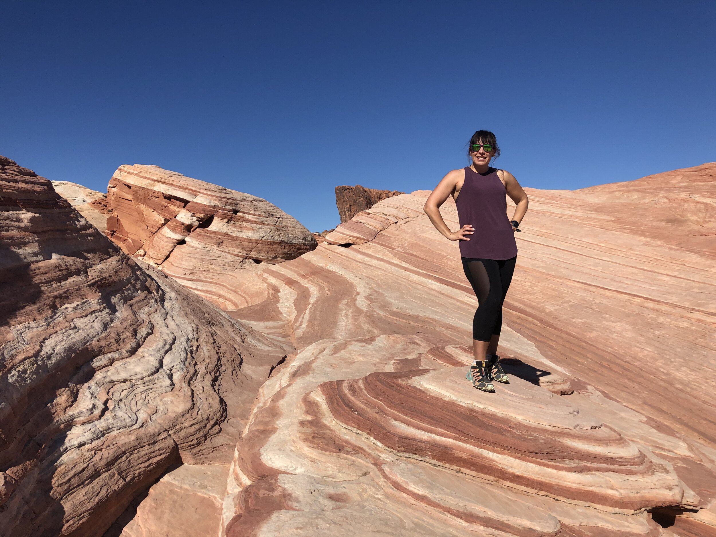
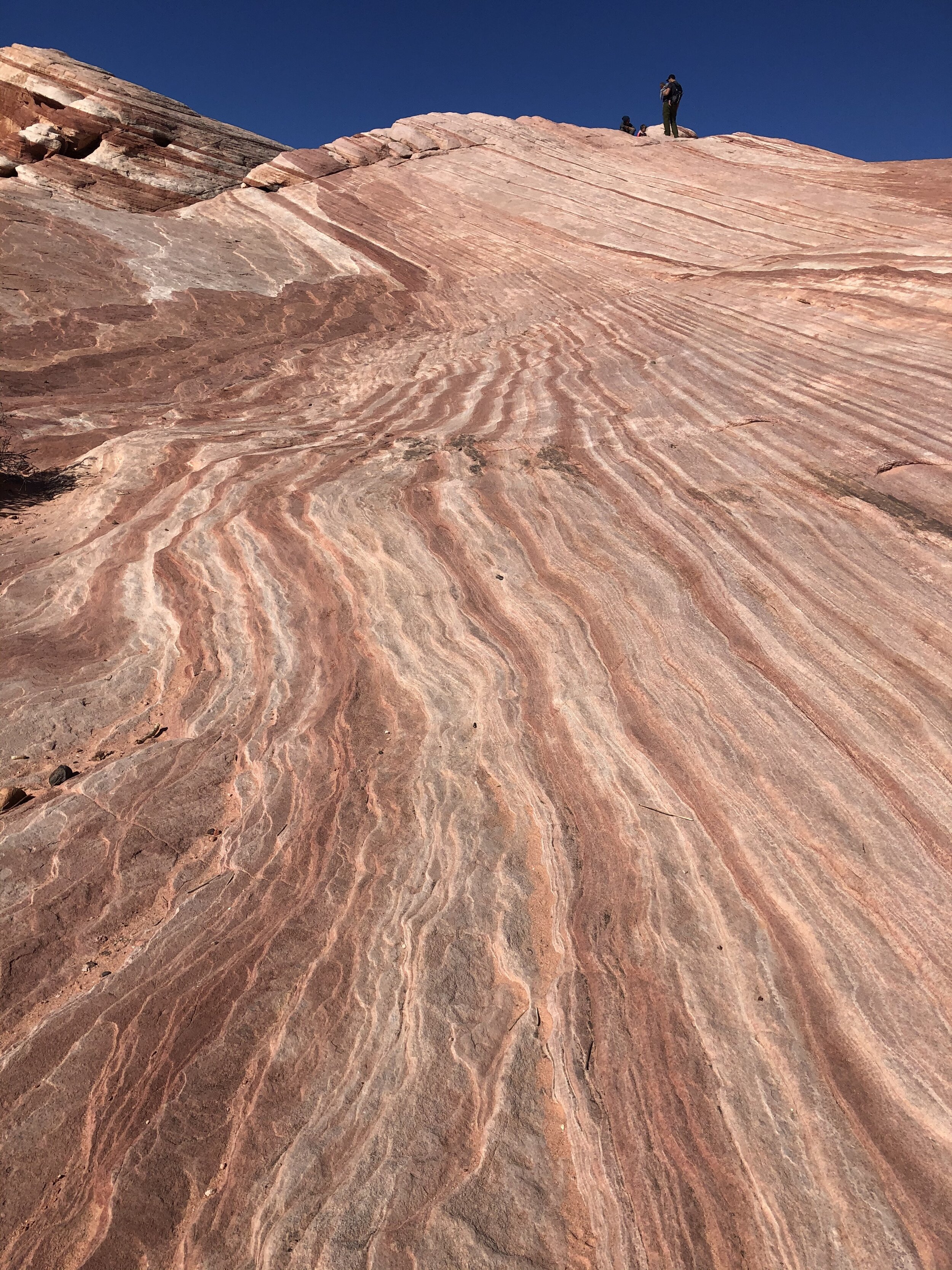
Day #4: Valley of Fire State Park

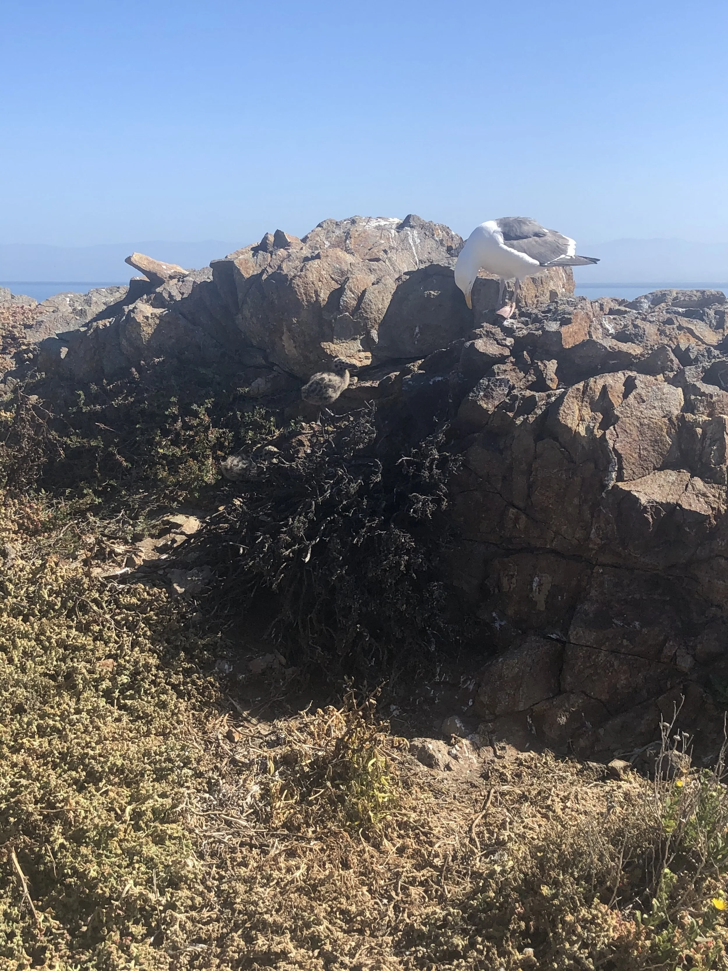
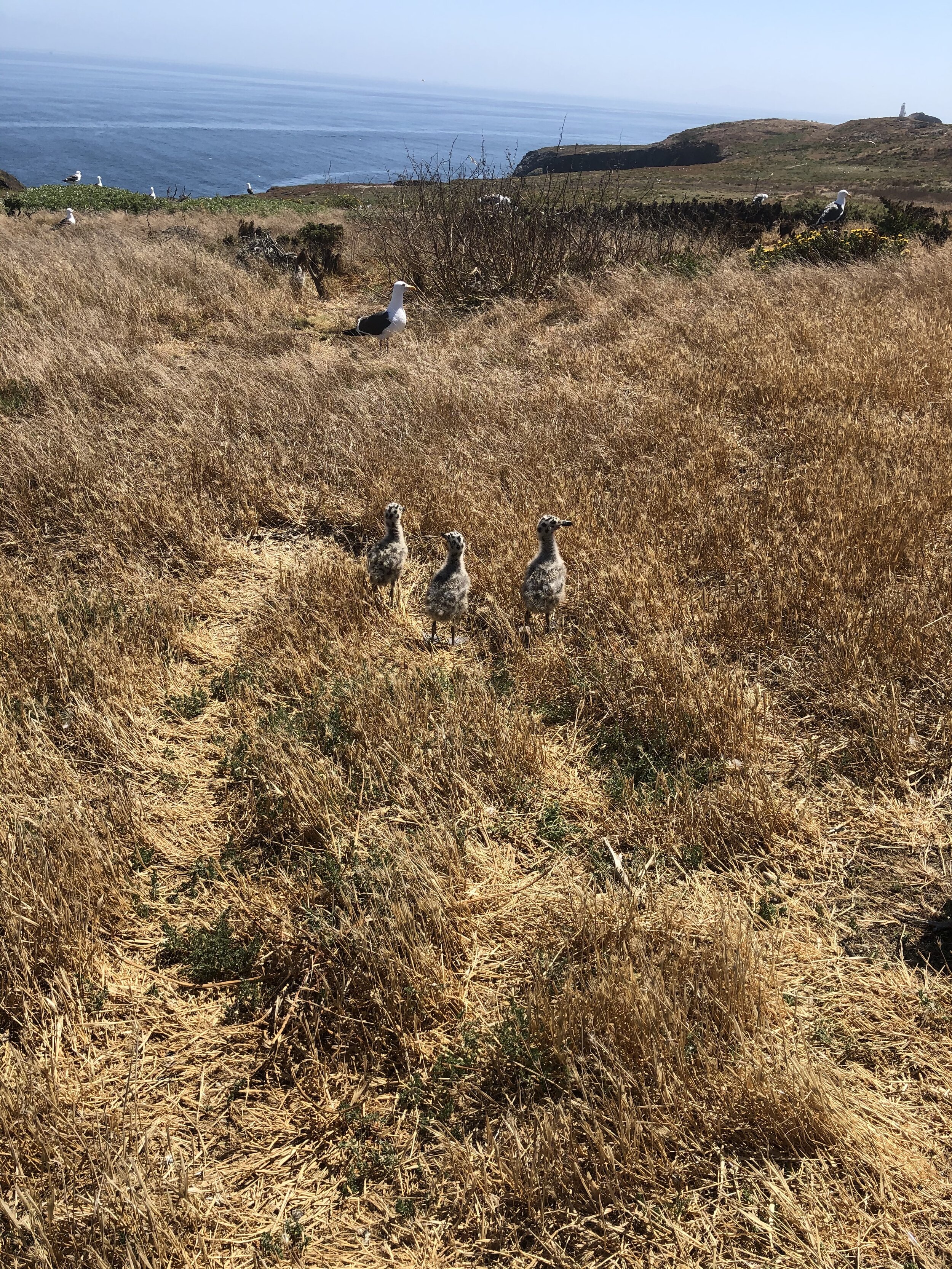
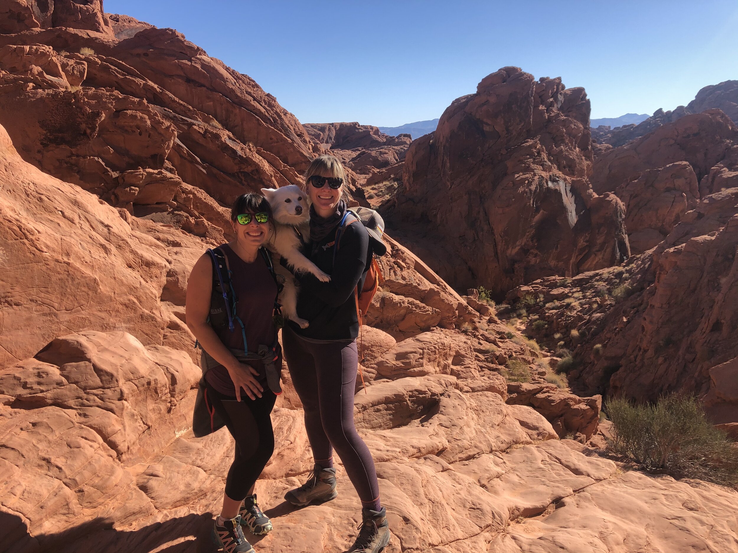
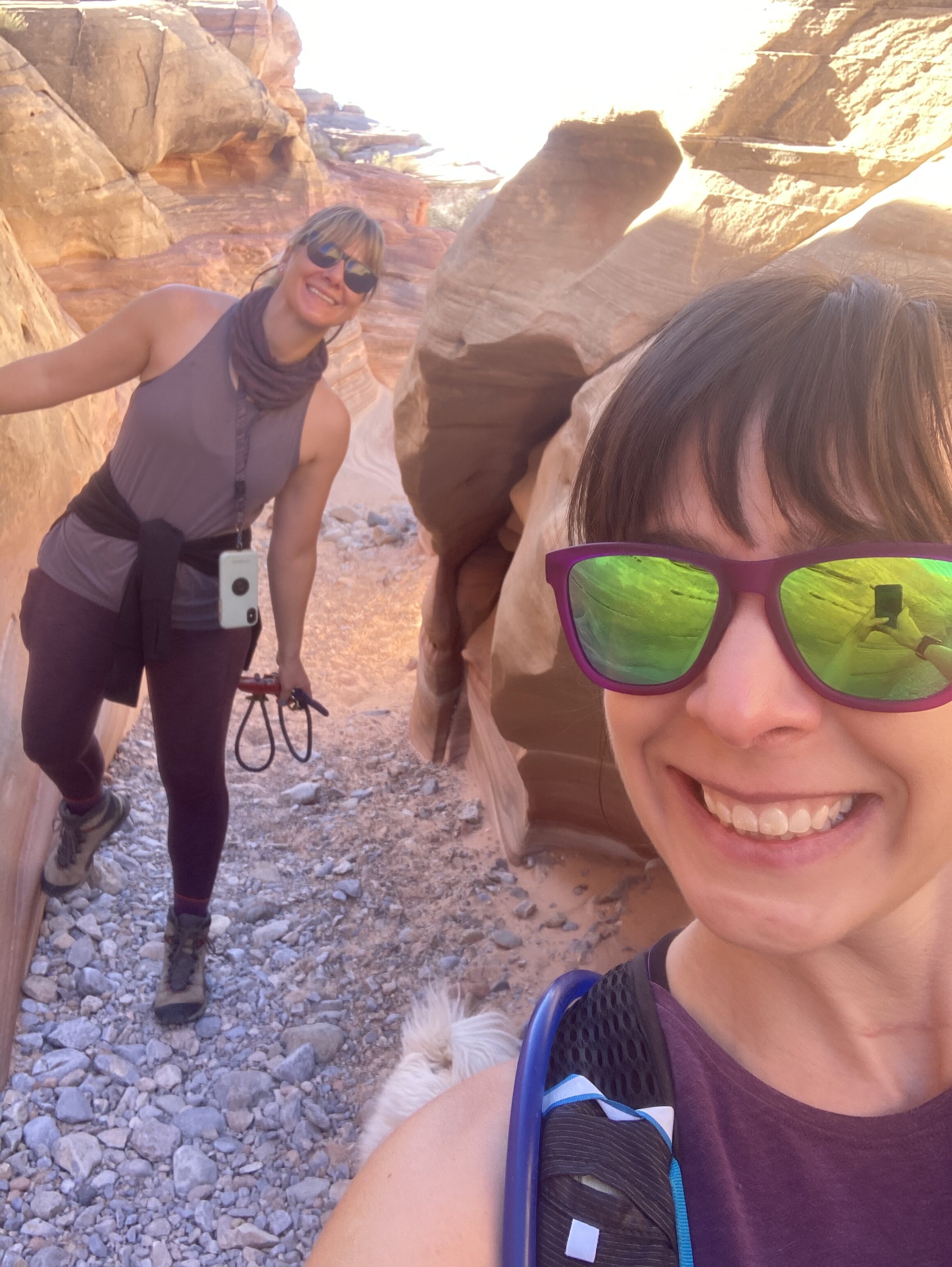
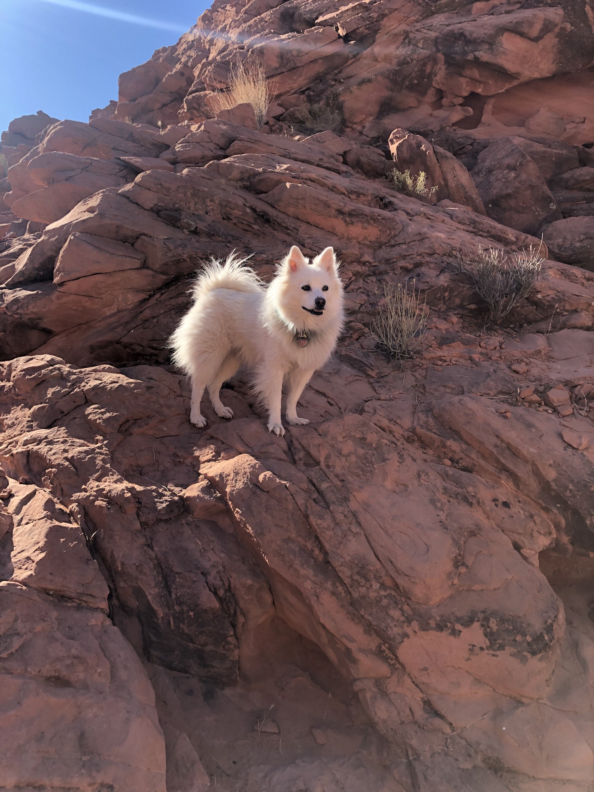
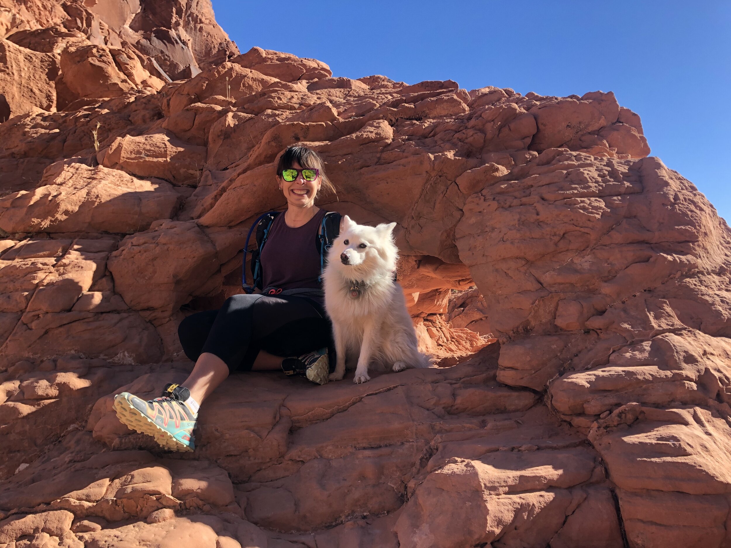
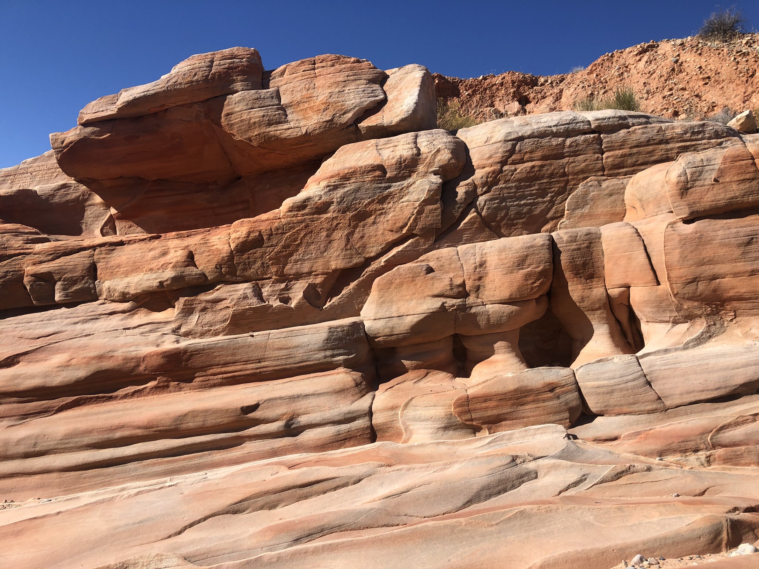
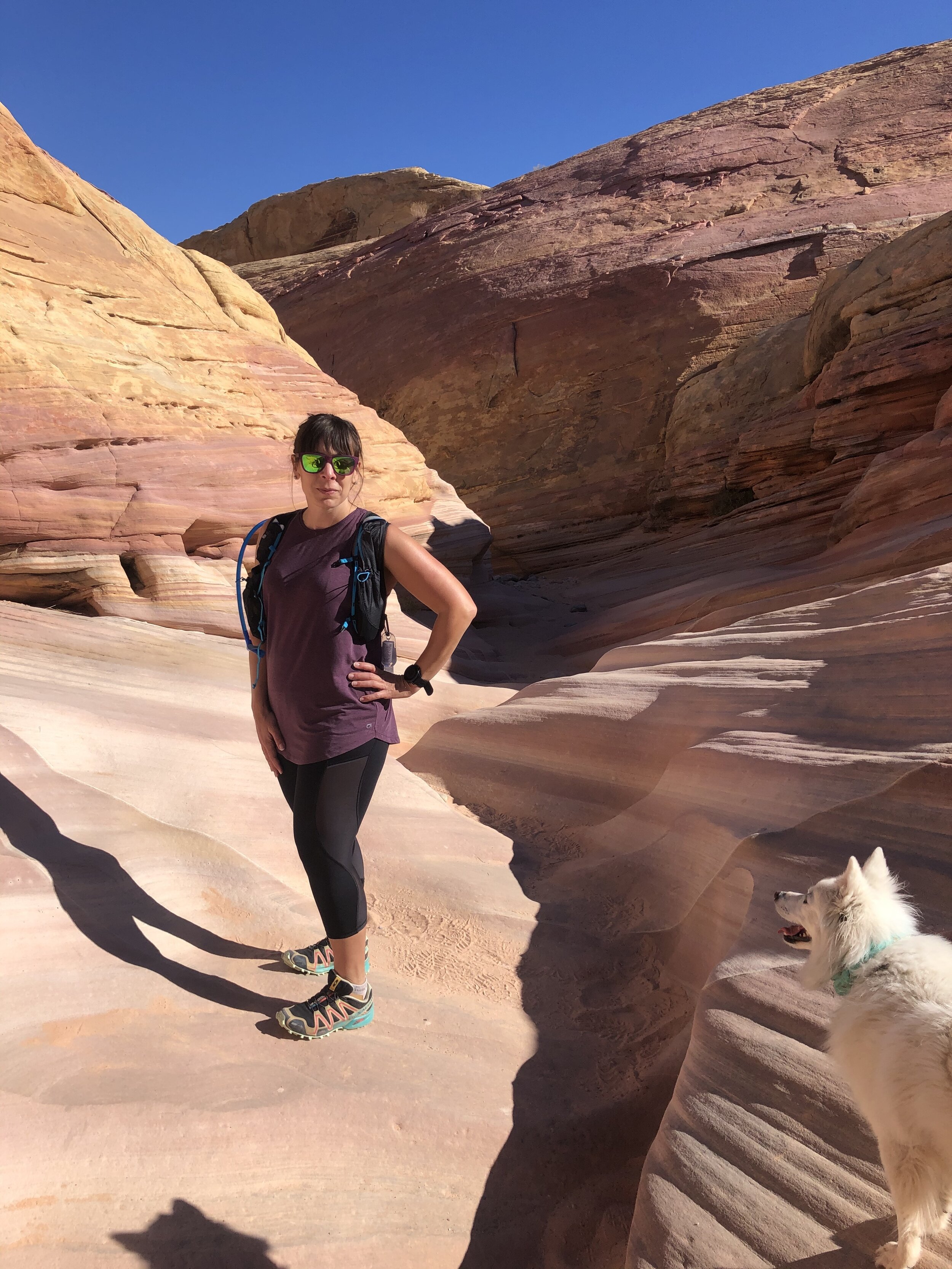
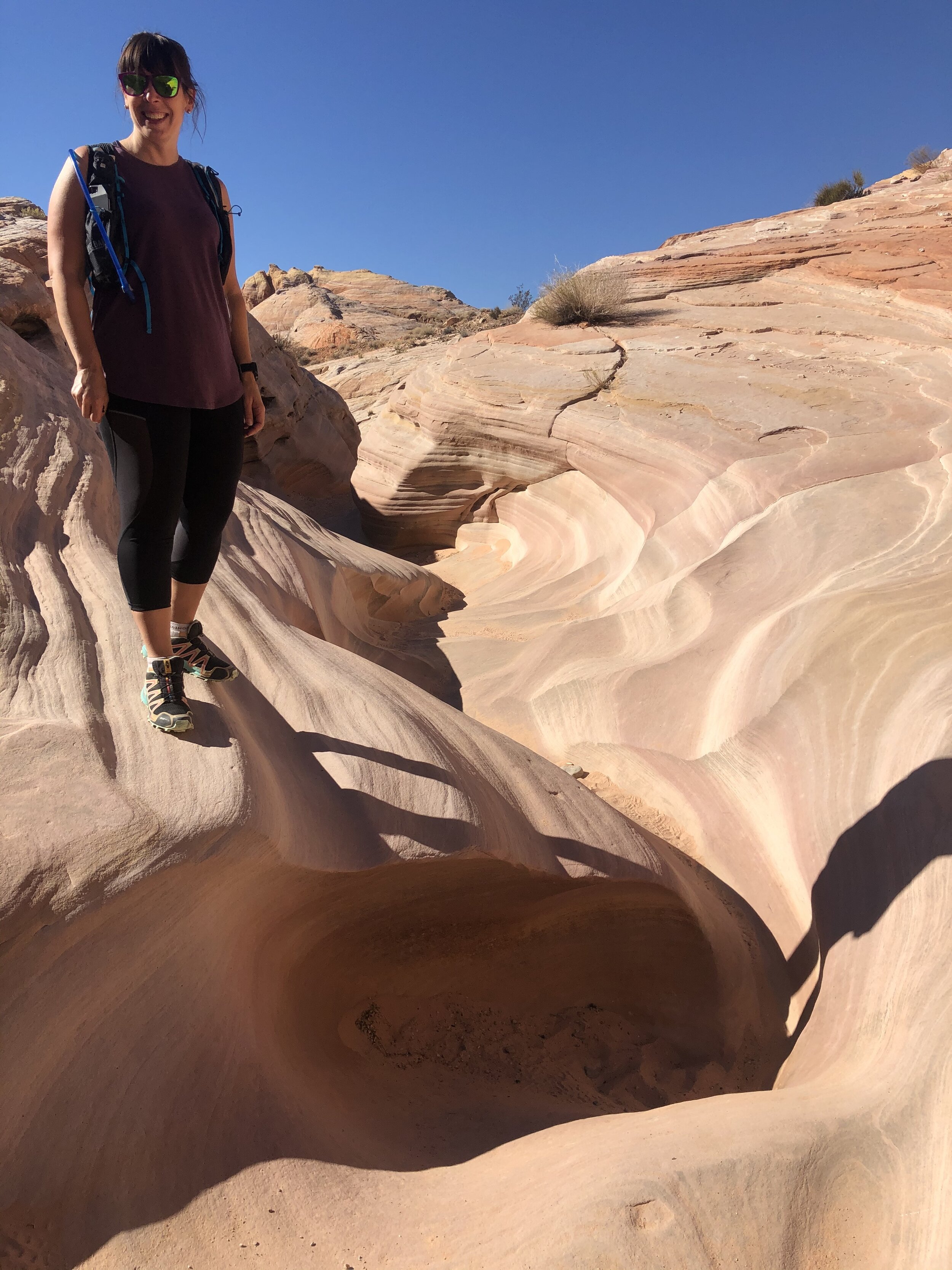
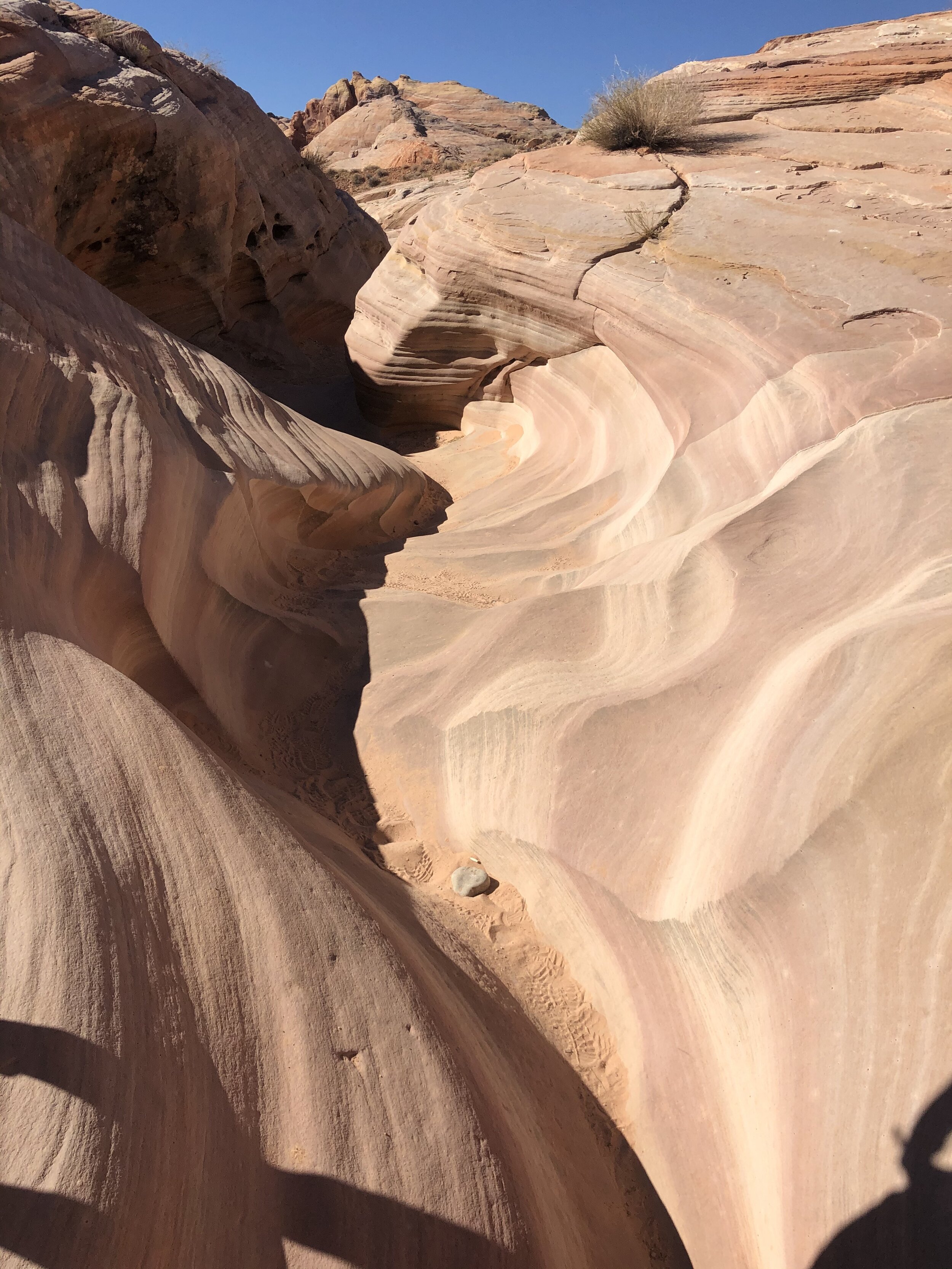
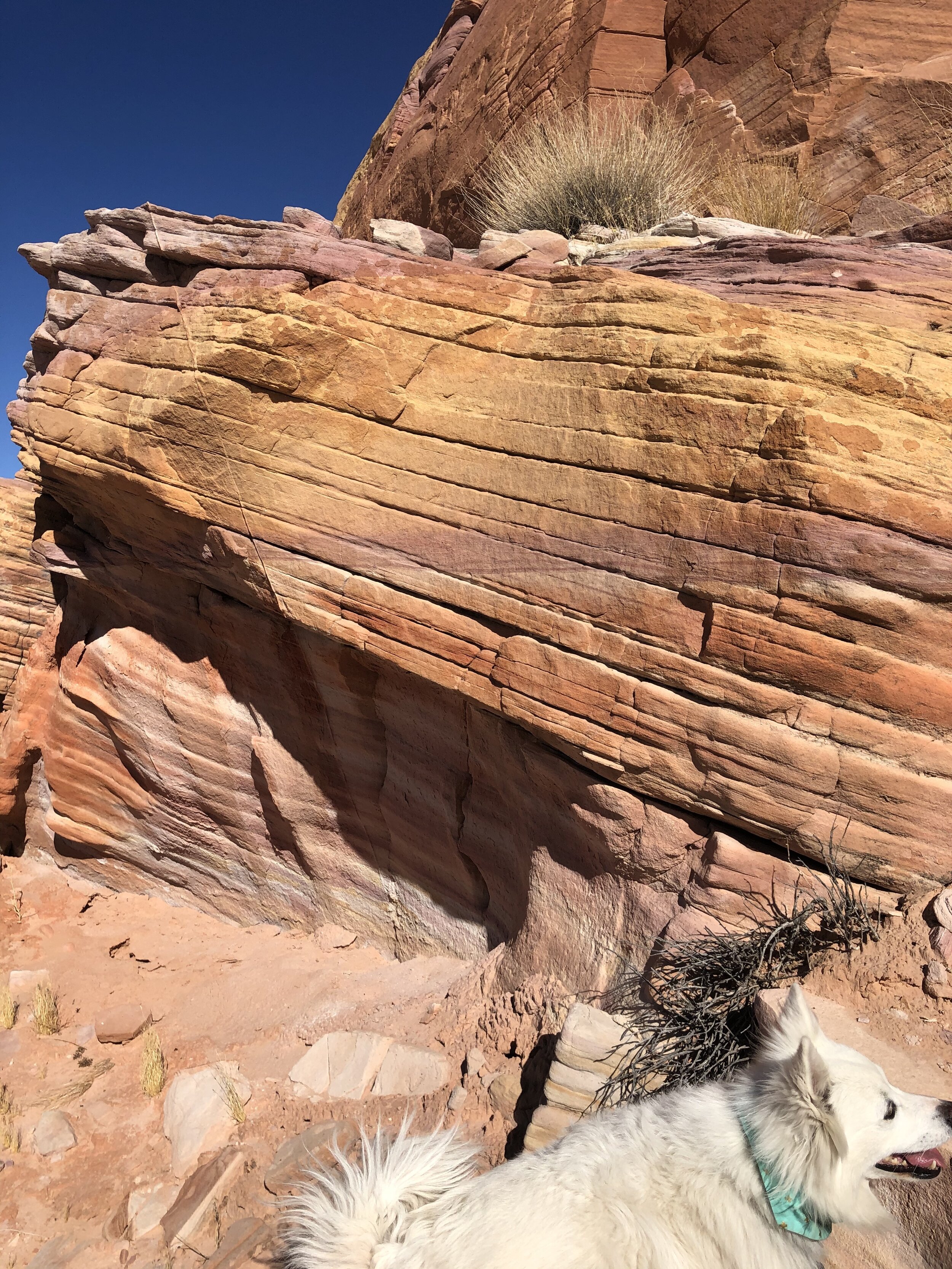
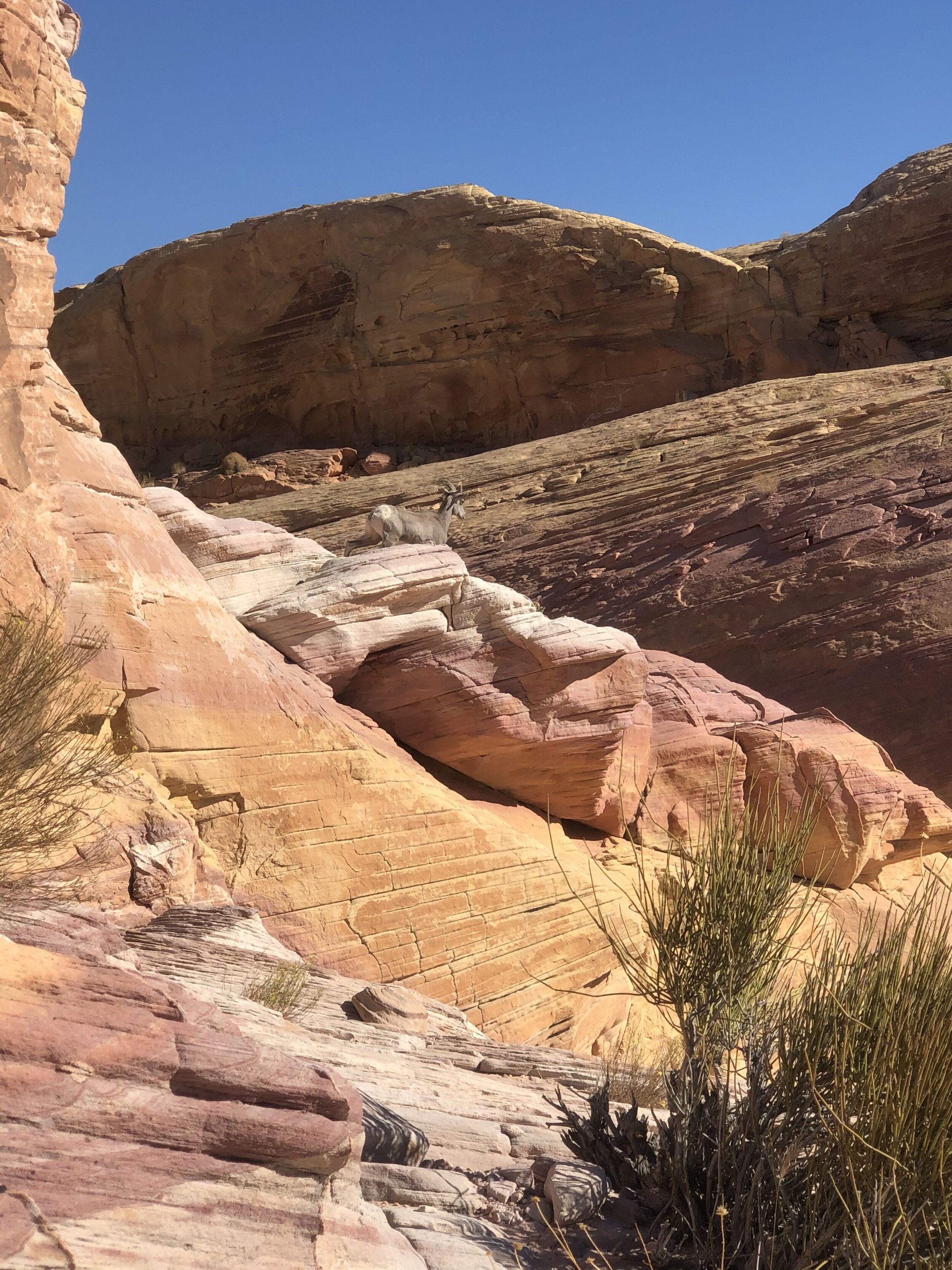
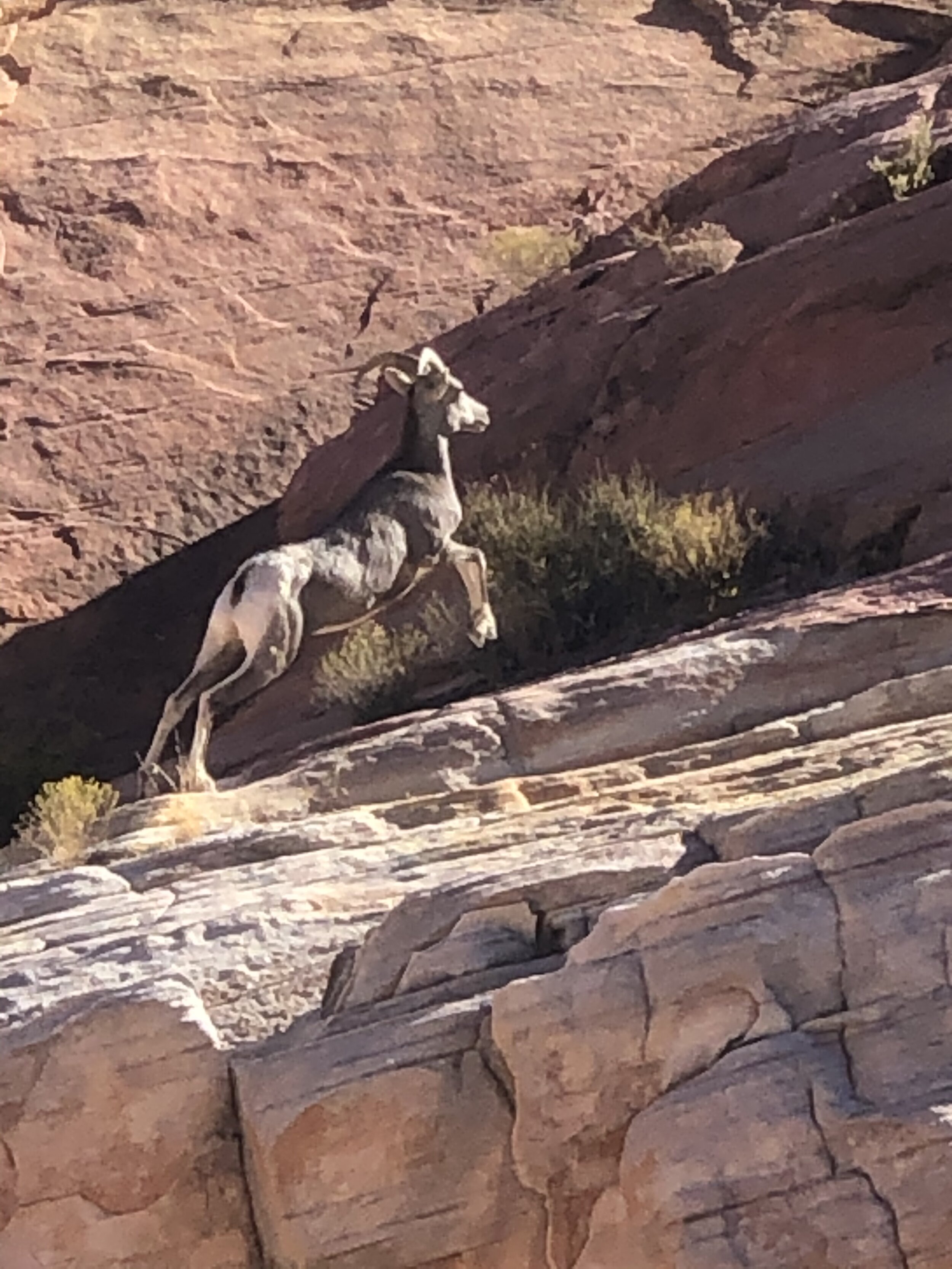
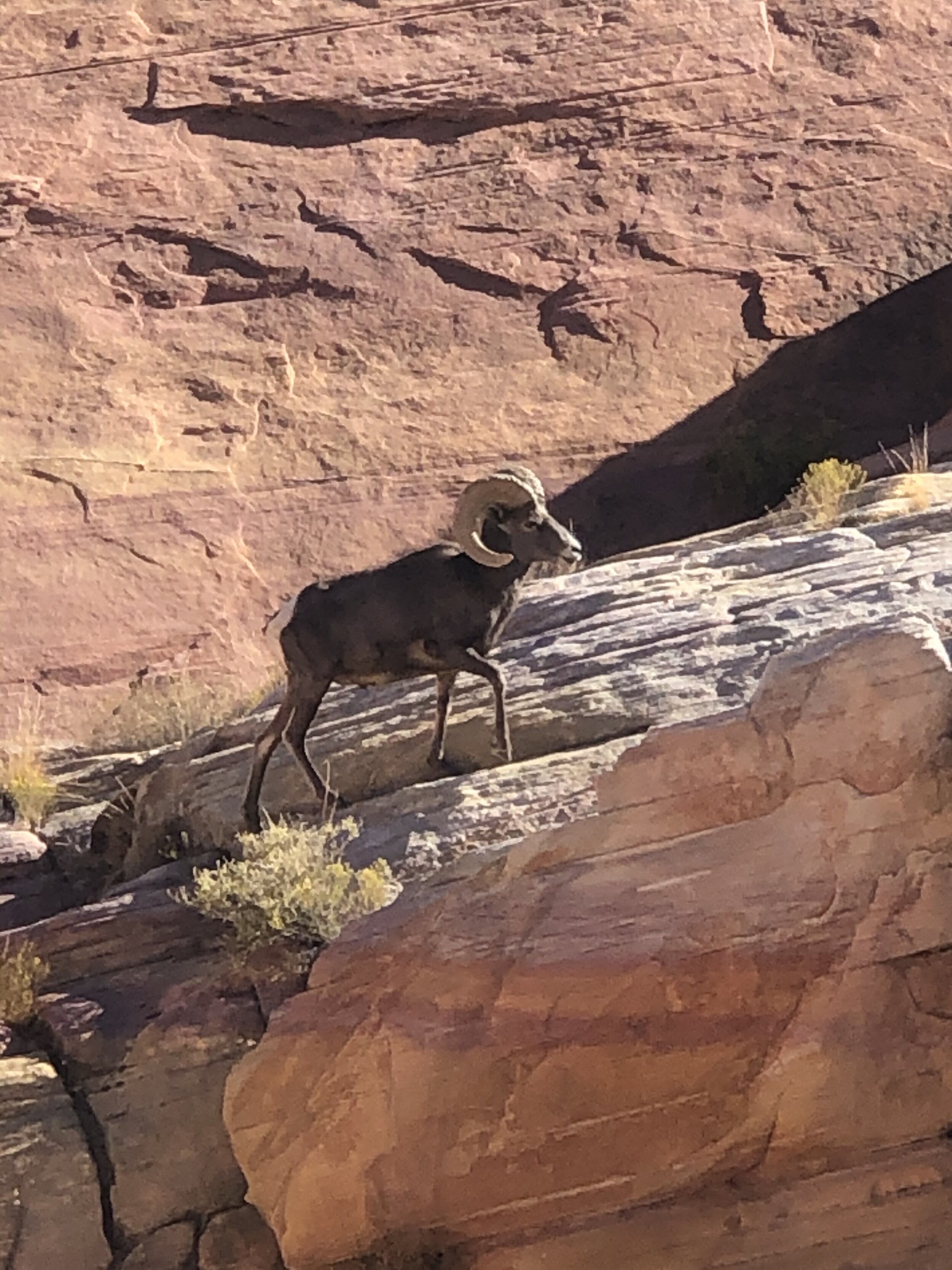
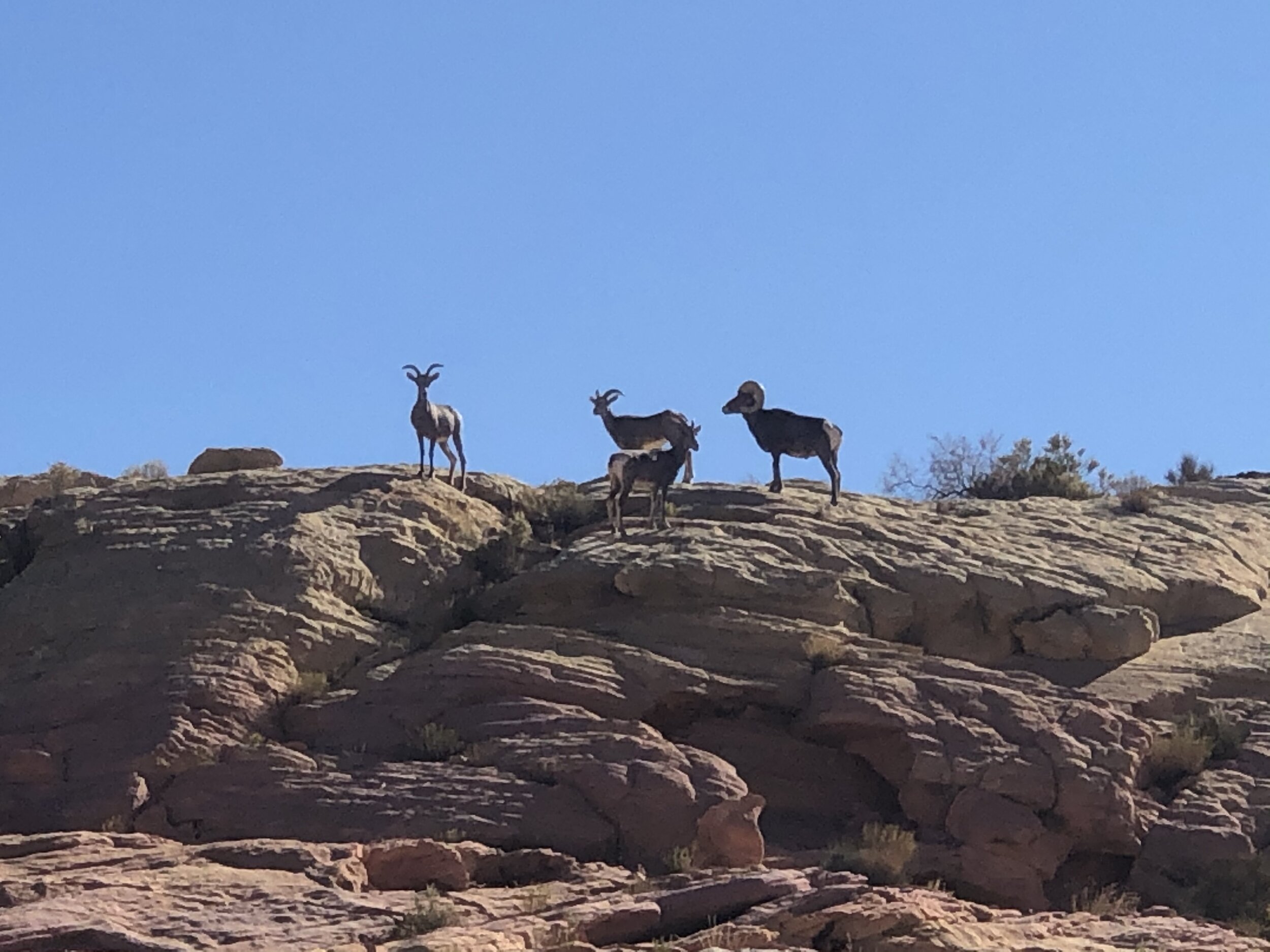
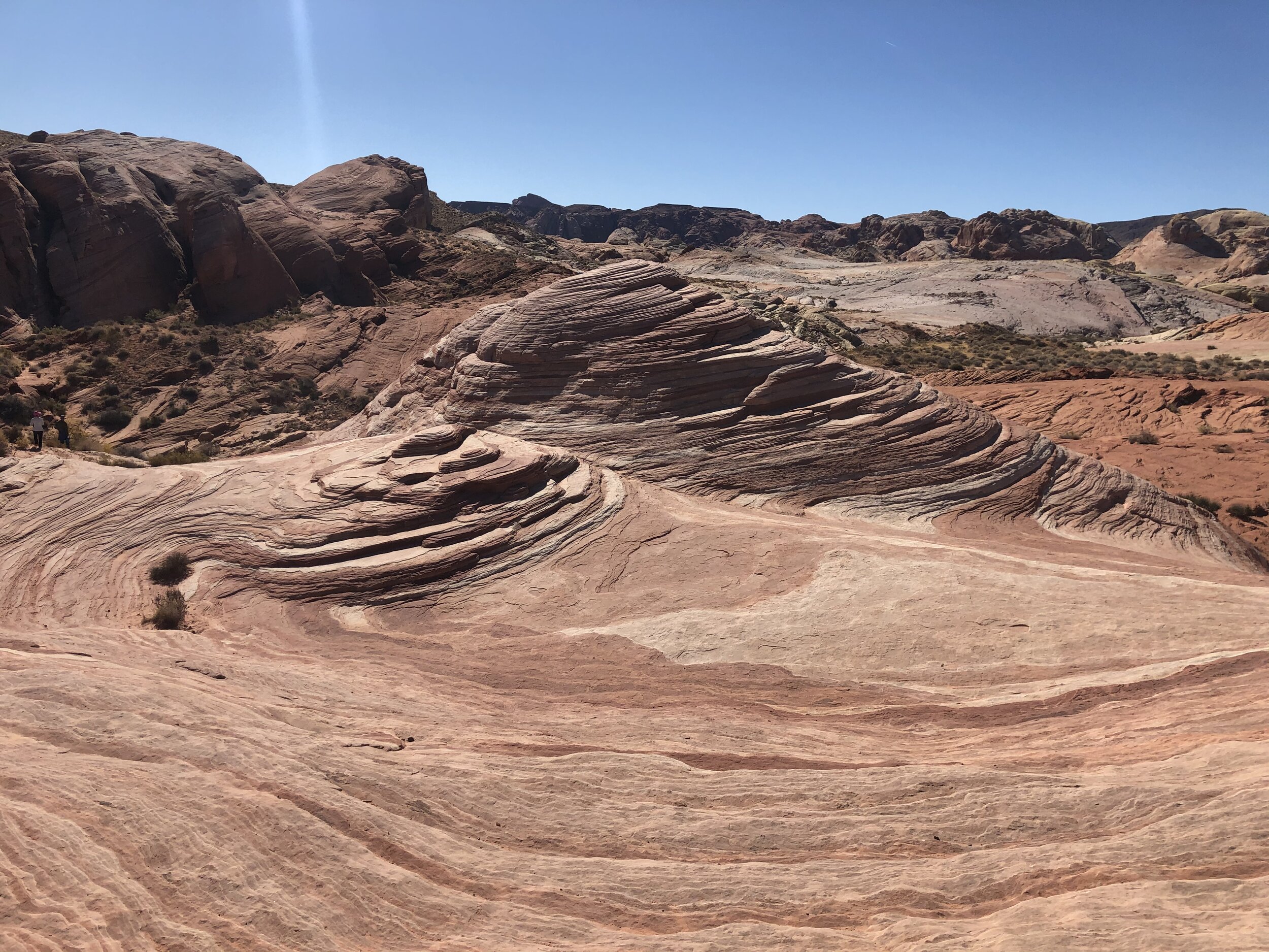
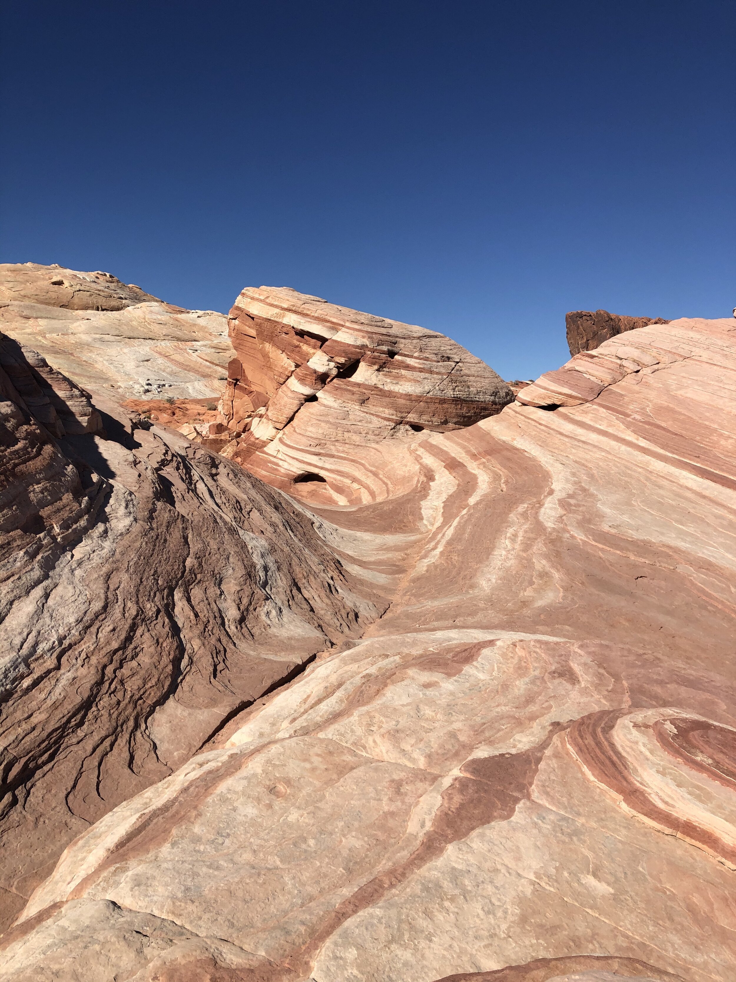
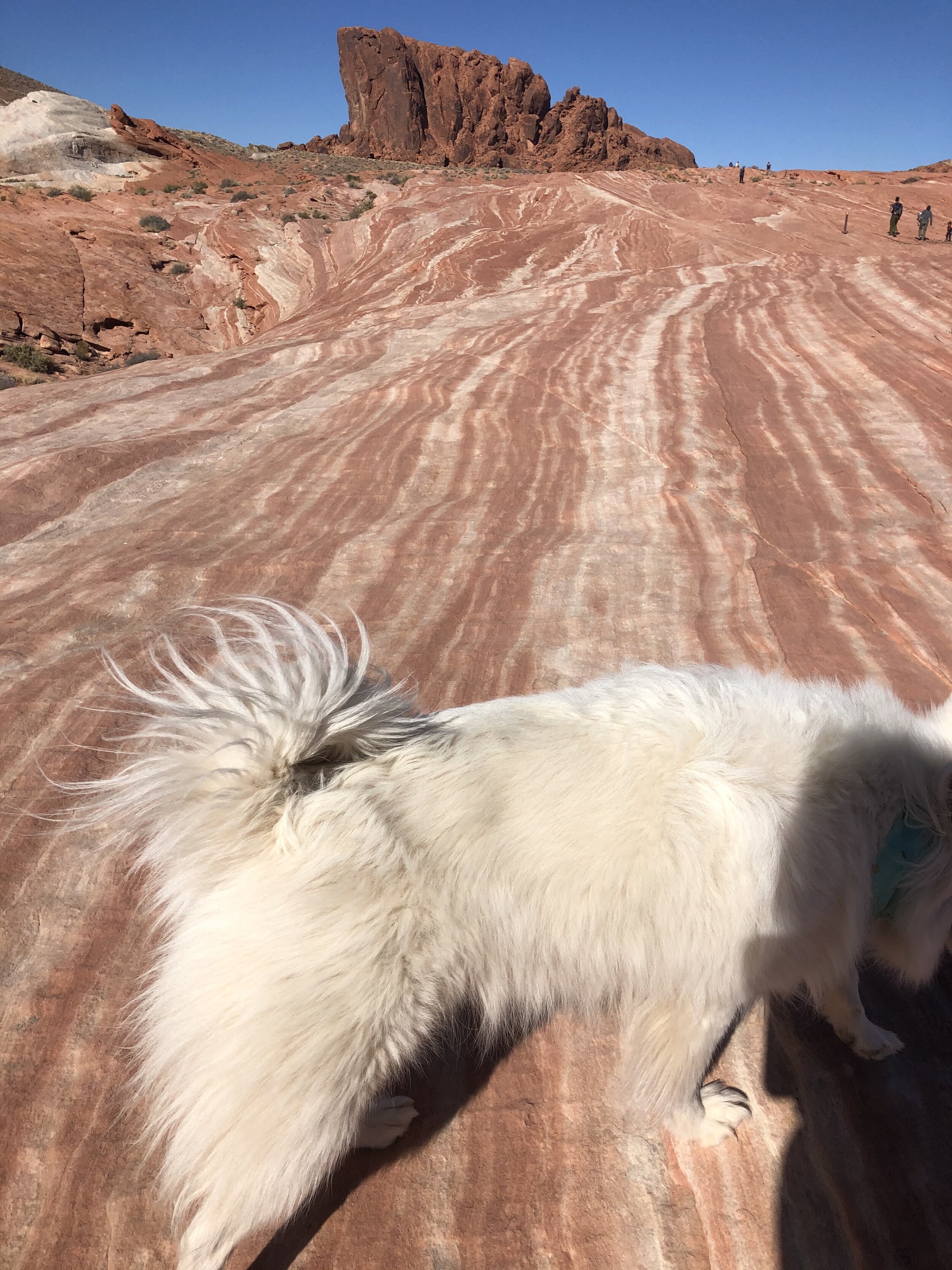
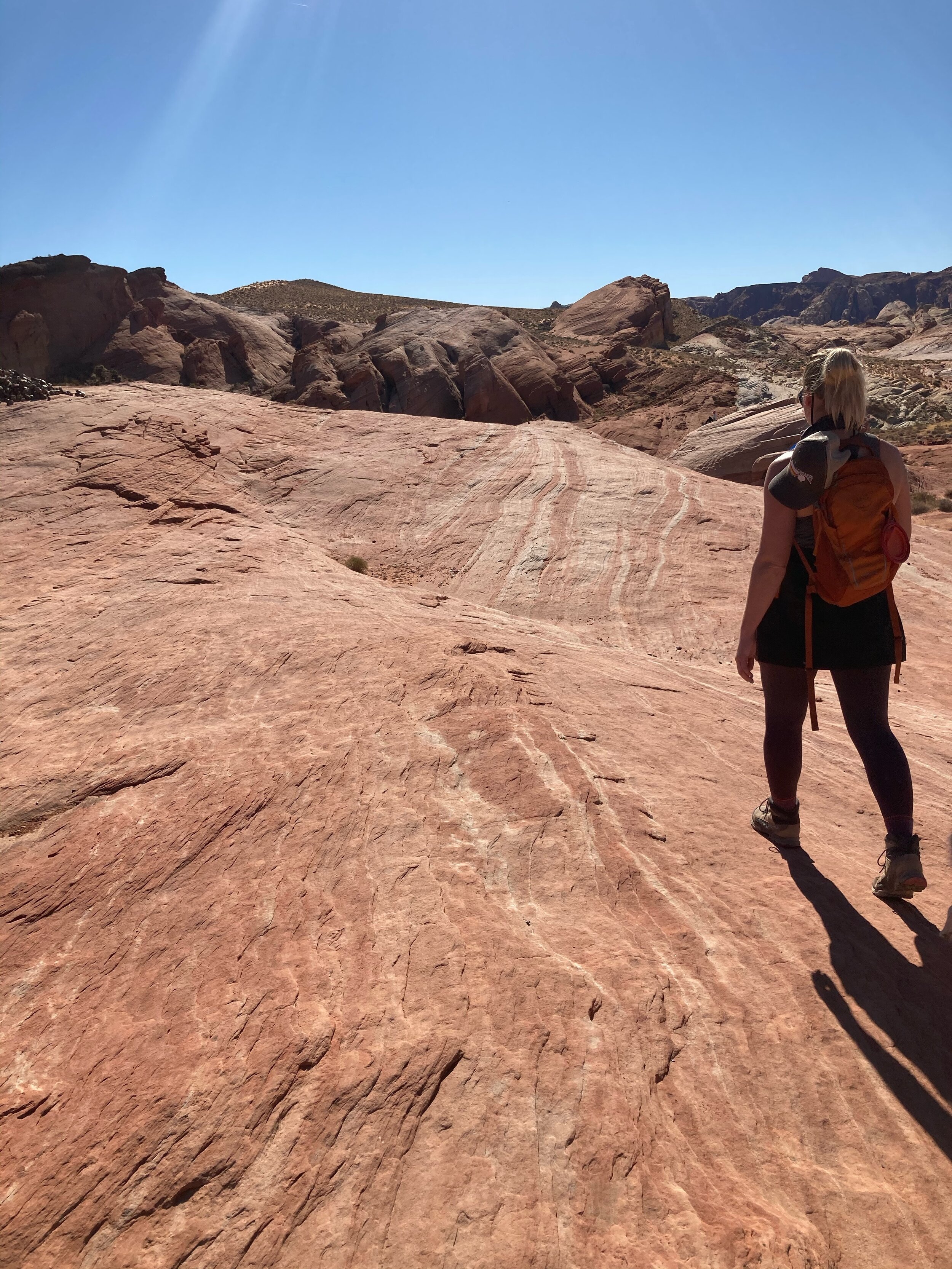
We had an incredible day in this state park. The best part was that Addie could go with us wherever we went. We saw beautifully colorful rocks, witnessed a herd of bighorn sheep, and hiked a cumulative seven miles. These photos do no justice to what we experienced.
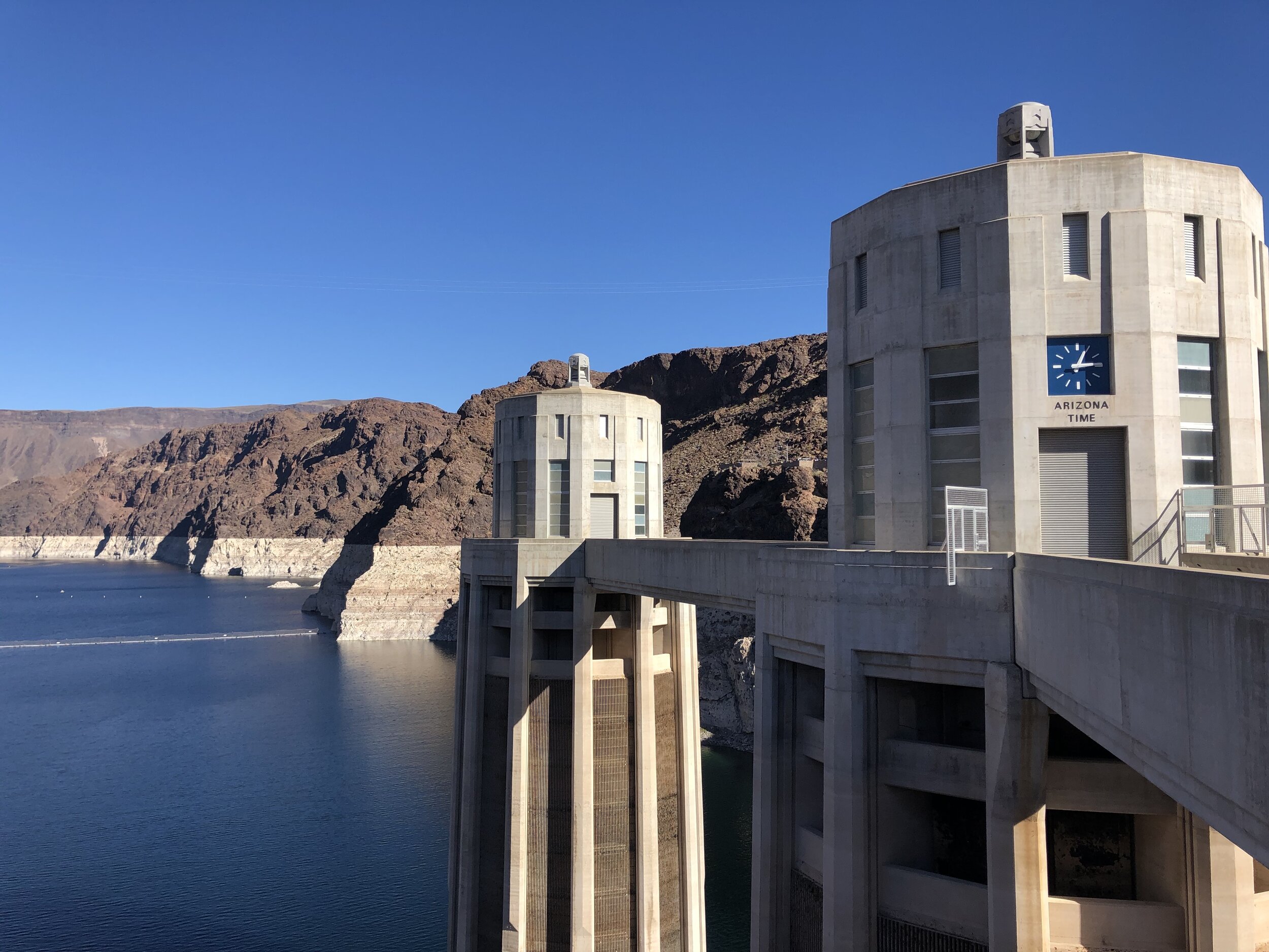
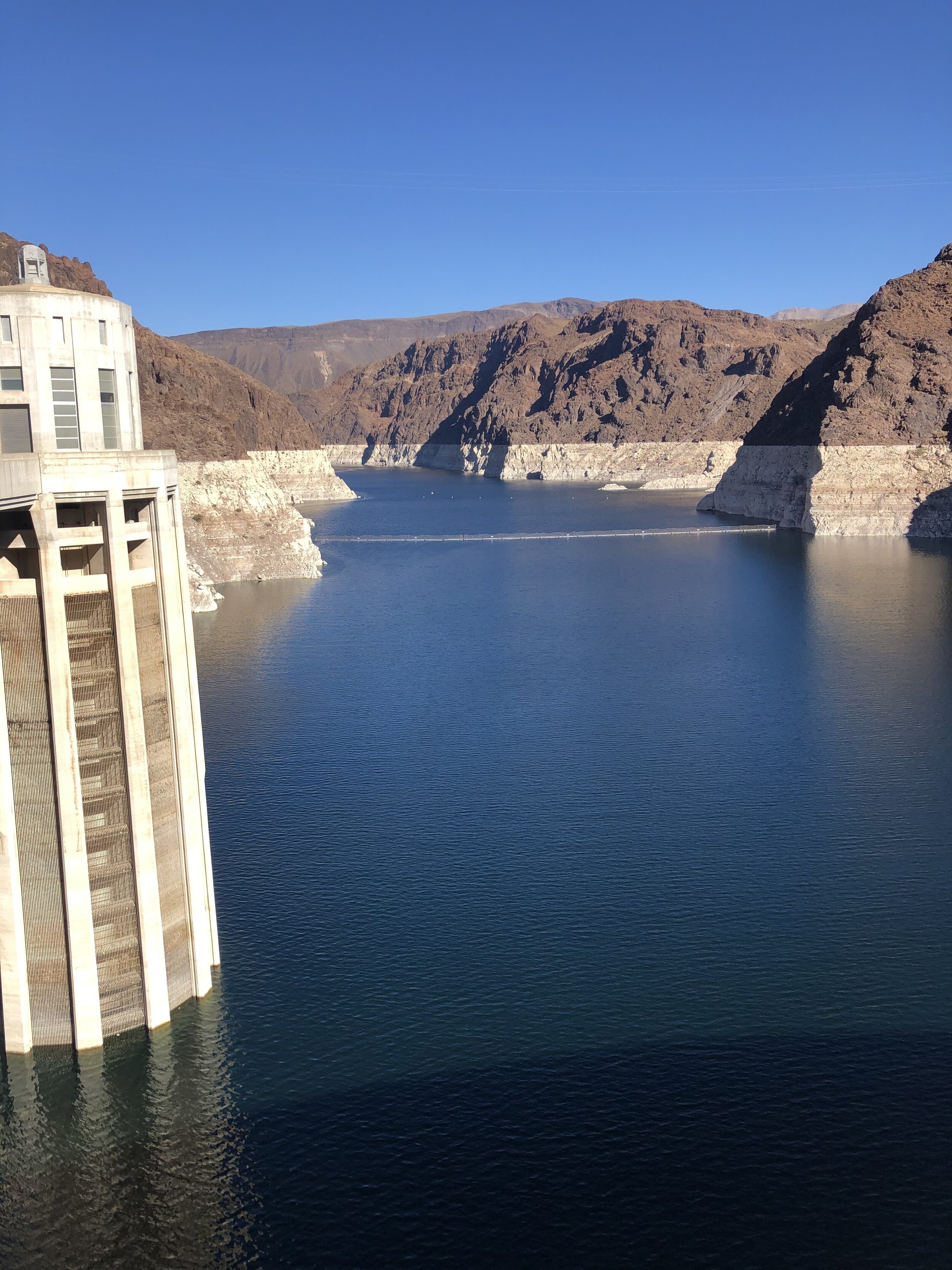
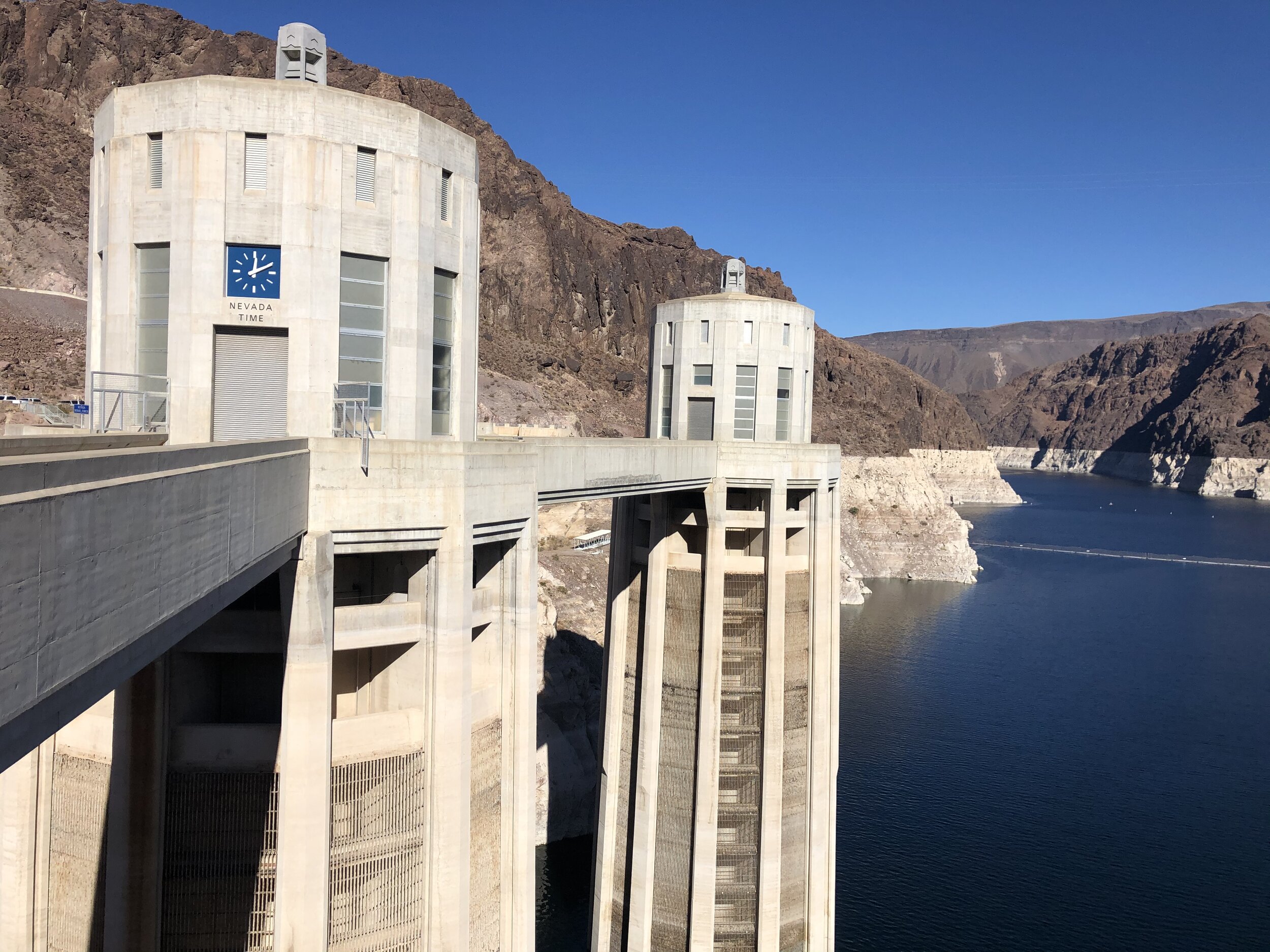
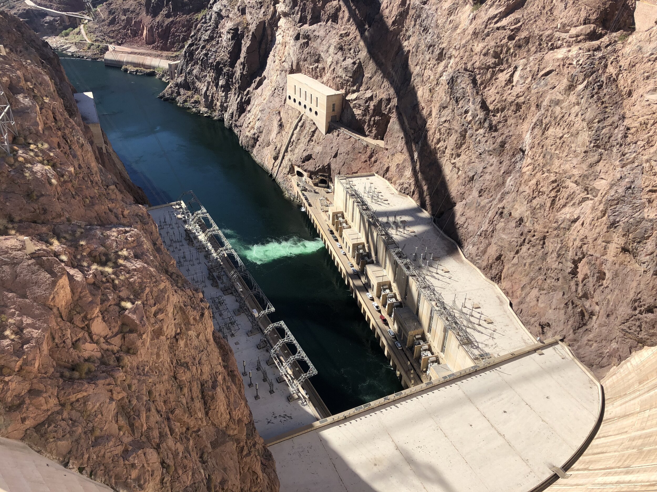
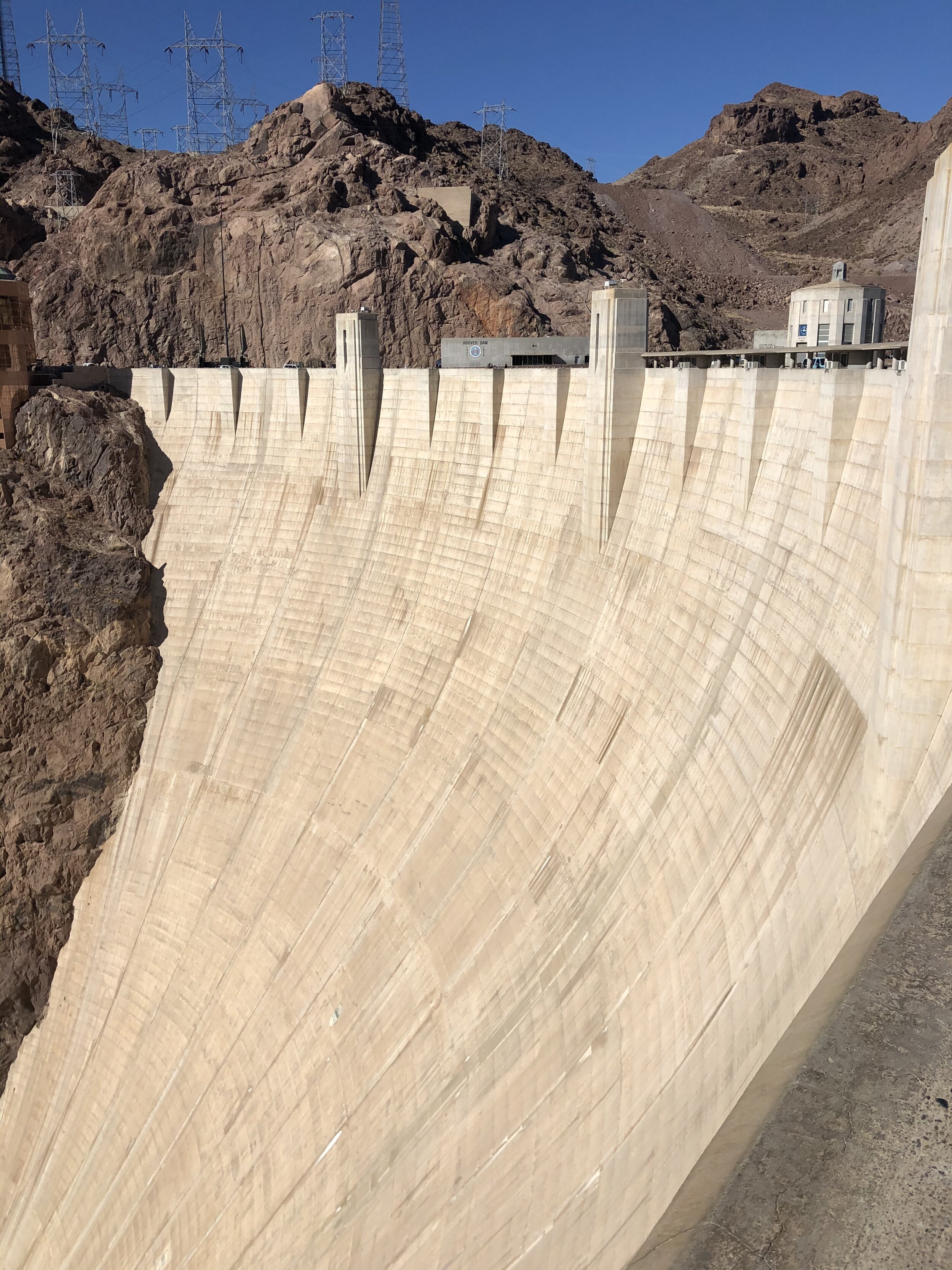
IMG_3120.jpg
IMG_0879.JPG
IMG_3114.jpg
IMG_3126.jpg
IMG_3134.jpg
IMG_3135.jpg
IMG_3137.jpg
IMG_3138.jpg
IMG_3141.jpg
IMG_3144.jpg
IMG_3147.jpg
IMG_3153.jpg
IMG_3154.jpg
IMG_3157.jpg
IMG_3160.jpg
IMG_3161.jpg
IMG_3167.jpg
IMG_3171.jpg
IMG_3177.jpg
IMG_3184.jpg
IMG_3193.jpg
IMG_3197.jpg
IMG_3200.jpg
IMG_3204.jpg
IMG_3207.jpg
IMG_3213.jpg
IMG_3216.jpg
IMG_3225.jpg
IMG_3231.jpg
IMG_3233.jpg
IMG_3236.jpg
IMG_3253.JPG
IMG_3254.JPG
IMG_3120.jpg IMG_0879.JPG IMG_3114.jpg IMG_3126.jpg IMG_3134.jpg IMG_3135.jpg IMG_3137.jpg IMG_3138.jpg IMG_3141.jpg IMG_3144.jpg IMG_3147.jpg IMG_3153.jpg IMG_3154.jpg IMG_3157.jpg IMG_3160.jpg IMG_3161.jpg IMG_3167.jpg IMG_3171.jpg IMG_3177.jpg IMG_3184.jpg IMG_3193.jpg IMG_3197.jpg IMG_3200.jpg IMG_3204.jpg IMG_3207.jpg IMG_3213.jpg IMG_3216.jpg IMG_3225.jpg IMG_3231.jpg IMG_3233.jpg IMG_3236.jpg IMG_3253.JPG IMG_3254.JPG

Day #5: Hoover Dam

Valley of Fire State Park is only about an hour from Hoover Dam, which is also in the direction back to Las Vegas. Neither of us had been and figured this was as good a time as any.

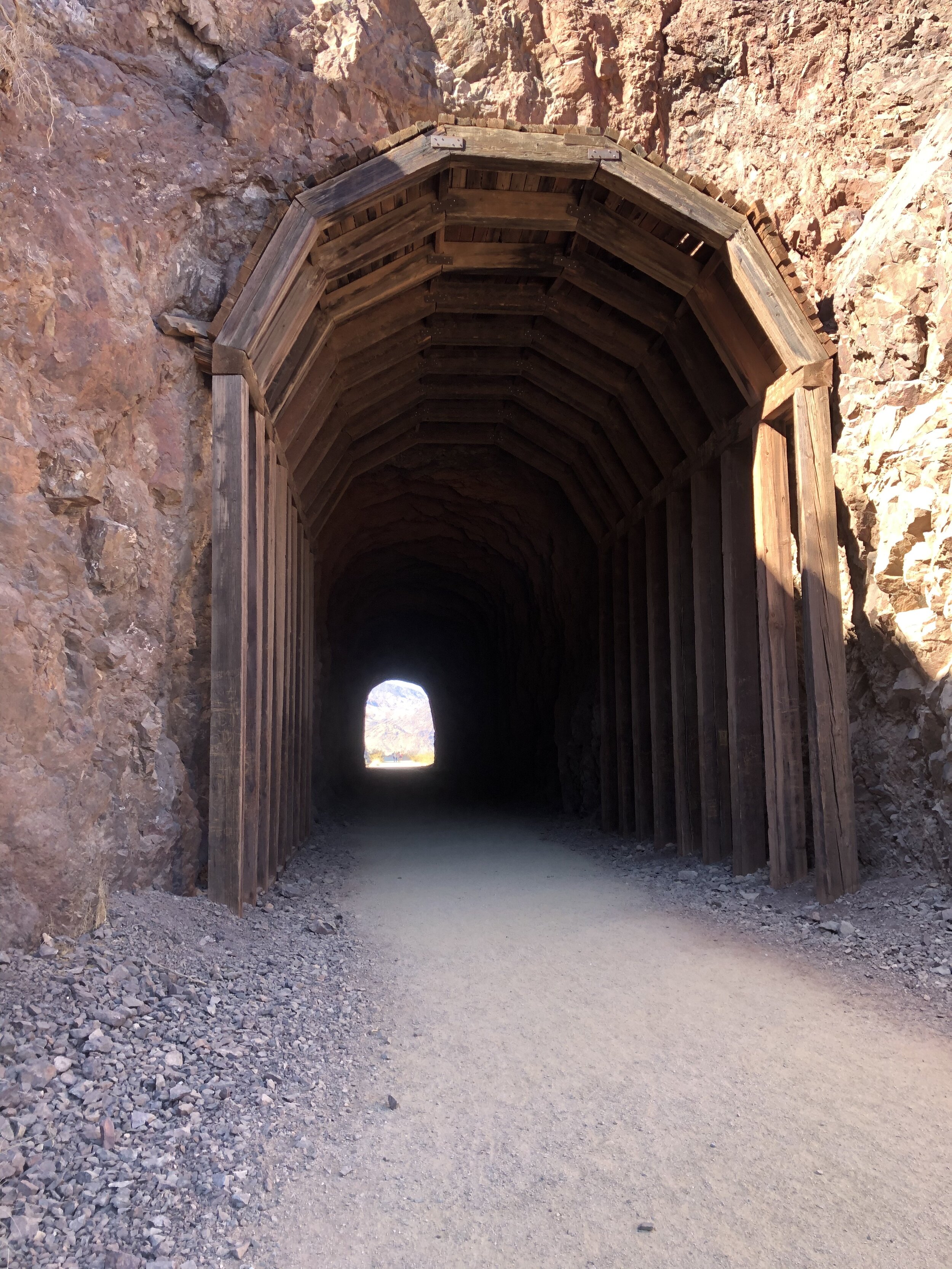
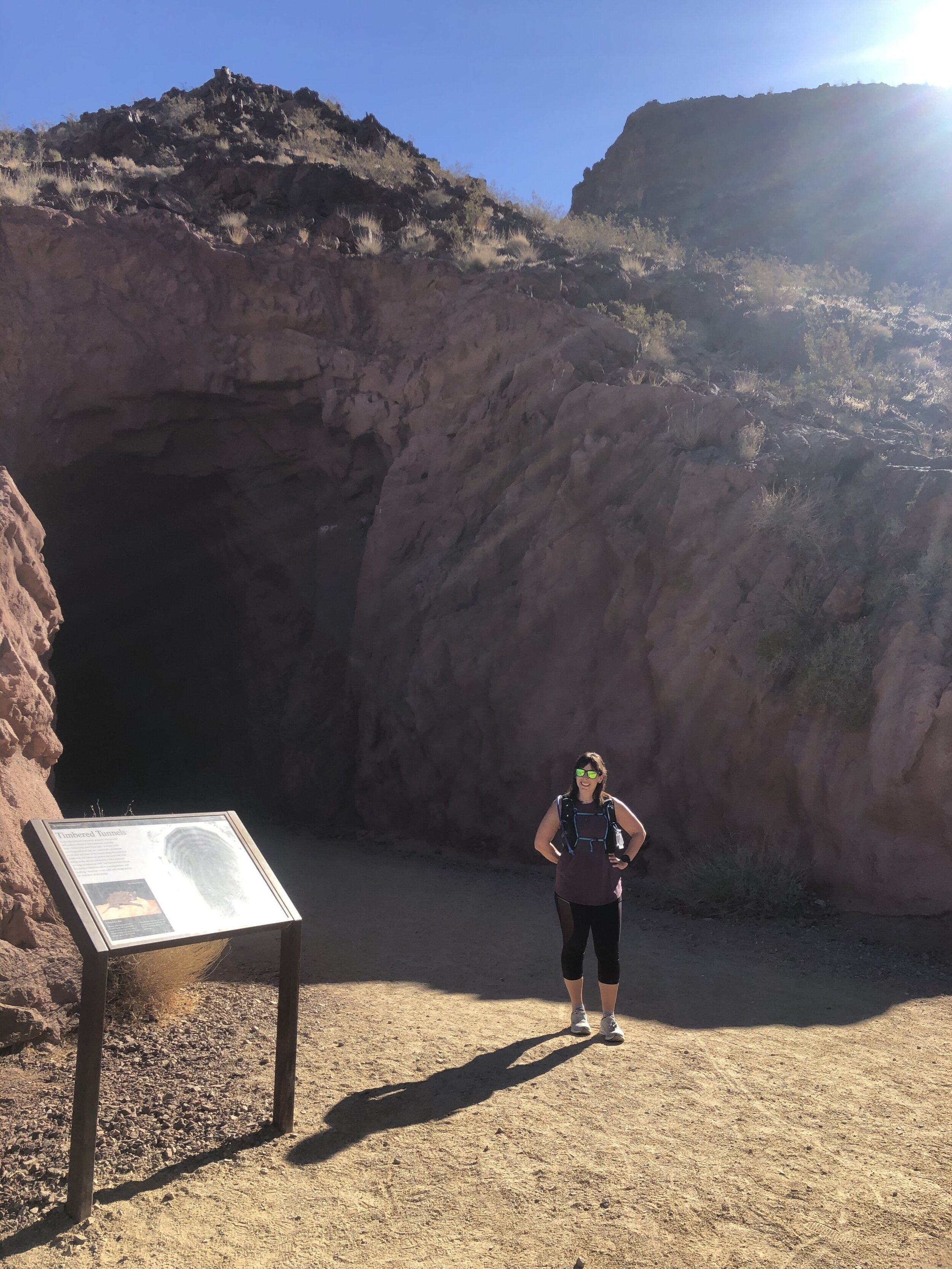
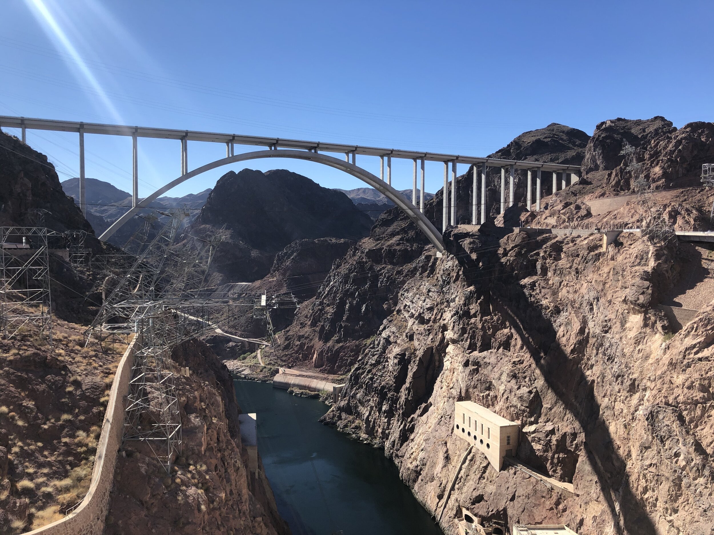
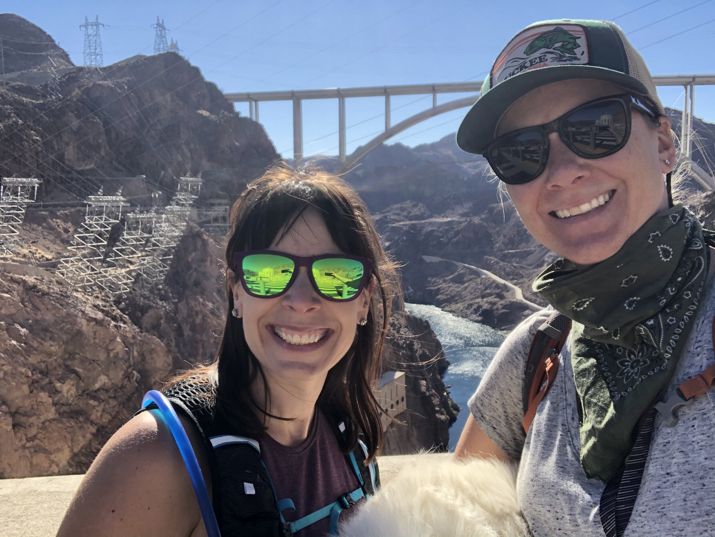
We (well, Amanda) found a walking path along the Historic Railroad Trail and we “hiked” to the dam. This trail is the former railroad that brought supplies and equipment to and from the dam as it was under construction.

Side note: I can’t express enough how helpful it is to have a navigator and someone to help with researching things to do and visit. I could drive and Amanda could google things, so we planned a lot in the car - which made things a lot easier.

IMG_3261.jpg
IMG_3263.jpg
IMG_3266.jpg
IMG_3268.jpg

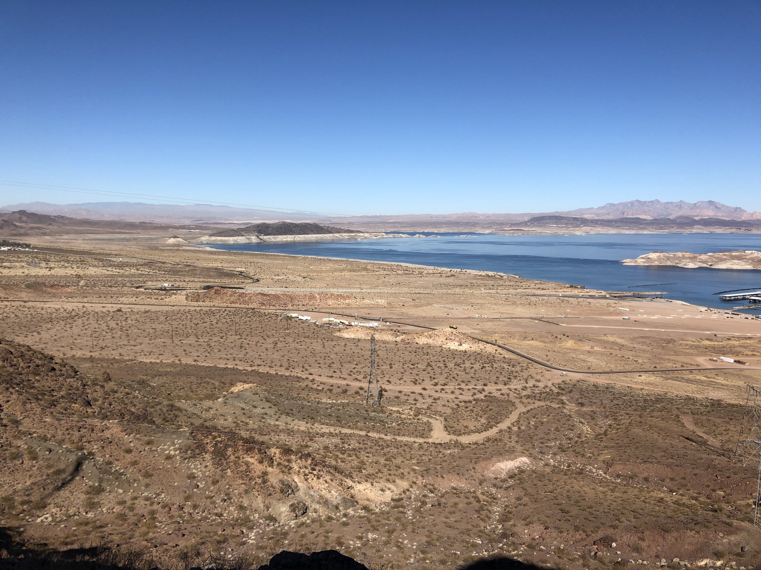
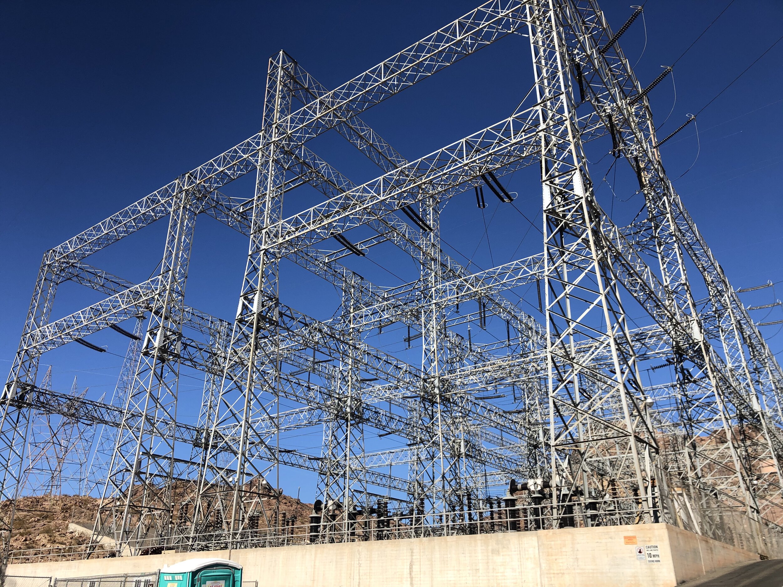
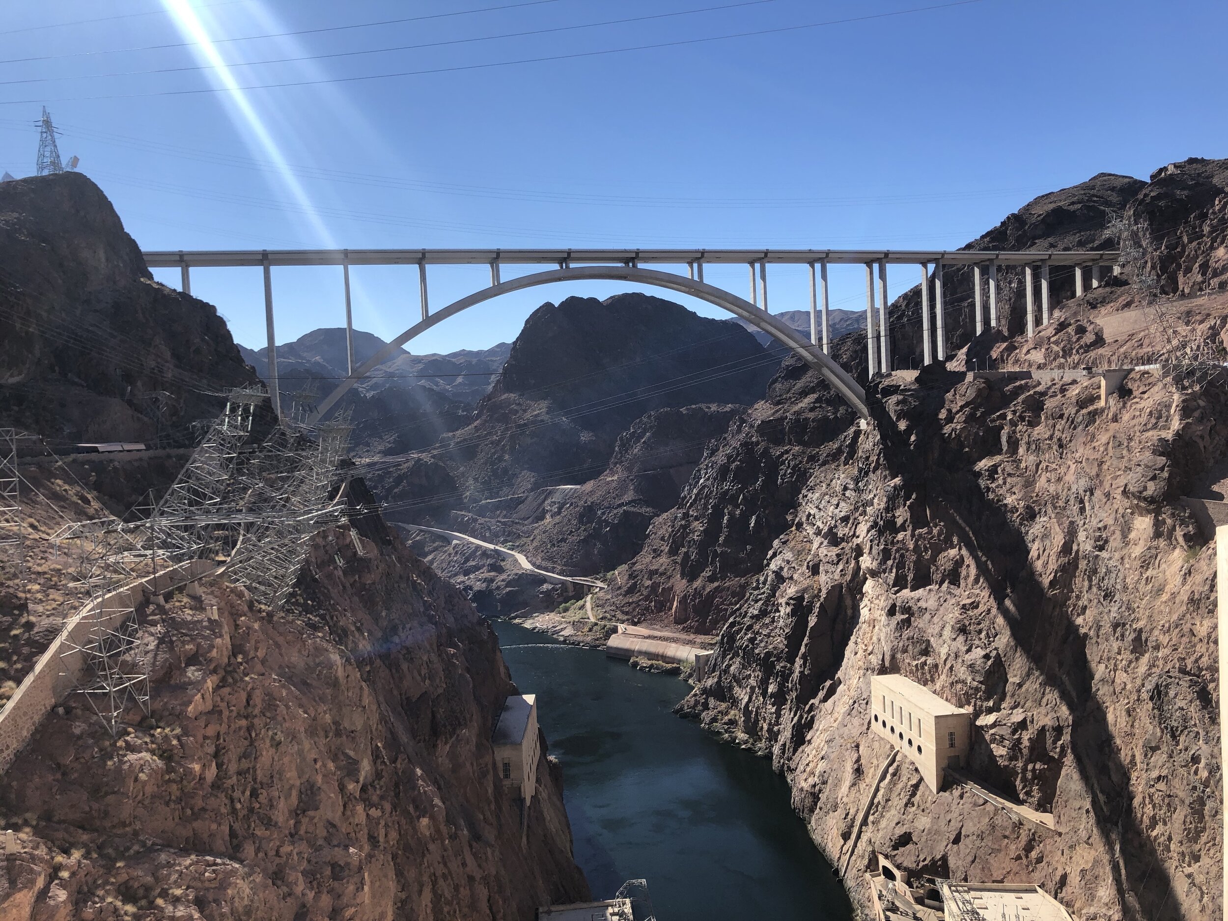
The dam is massive. However, it’s still just a dam. Because of COVID, some areas and tours were closed, but we were content just walking around and taking a look from above. I was glad to visit the infamous Hoover Dam, but I think I enjoyed the historic railroad trail more.

IMG_3287.jpg
IMG_3275.jpg
IMG_3272.jpg
IMG_3273.jpg
IMG_3276.jpg
IMG_3277.jpg
IMG_3278.jpg
IMG_3289.jpg
IMG_3287.jpg IMG_3275.jpg IMG_3272.jpg IMG_3273.jpg IMG_3276.jpg IMG_3277.jpg IMG_3278.jpg IMG_3289.jpg

Amanda’s visit was coming to a close. We headed back to Sam’s Town KOA in Vegas to culminate the trip. I know Amanda enjoyed her five days of RV living, but I’m sure she was ready to return to her life in Chicago.

It was back to the two of us: Addie and me. I dropped Amanda at the airport and hit the road, once again feeling right at home behind the wheel.

Special thanks to Amanda for joining me on the road and doing so COVID-safe!

November 21, 2020 /Sarah Williams
Las Vegas, KOA, Airstream, Death Valley National Park, Valley of Fire State Park, Nevada, California, Hoover Dam, Zabriskie Point, badwater basin, artists palette, Titus canyon narrows, Dante's View, Red Cathedral
National Parks
1 Comment
IMG_4988.jpg

#32: Lassen Volcanic National Park

July 26, 2020 by Sarah Williams in National Parks

When I think of “Northern California,” I mostly think of the San Francisco Bay area. At least I used to. I guess that’s correct, but there is so much more to California north of the Bay area. And I made sure to explore it.

The drive from Truckee to Lassen Volcanic National Park is about three hours. Because I didn’t leave Truckee until the afternoon, I decided to break up the drive by stopping at Hallsted Campground in the Plumas National Forest. Here, I met Joe and Steve. Joe was the camp host, and Steve was camping there for a few nights. I got to chatting with them in the morning, and they helped me a little bit with my trailer. Steve introduced me to using a drill to lower the stabilizers on the Basecamp (which is so much easier than using the manual tool), and Joe provided comic relief. It’s just so fun - and helpful - to meet people on the road.

Steve on the left, and Joe on the right.

Steve on the left, and Joe on the right.

After a campground shower, I said good-bye to my new friends and hit the road for Lassen Volcanic. The drive was beautiful.

IMG_0763.jpg

I snagged a two-night reservation at Manzanita Lake Campground - and thank God I did. It was crowded. With COVID, more people were out camping, not to mention July is peak season. After locating our campsite, Addie and I drove some of the park and stopped by the visitor center to figure out our plan to explore.

IMG_7909.jpg
IMG_1934.jpg
IMG_4988-1.jpg

The following day, our first stop was to the Devastated Area, damaged by the last eruption of Lassen Peak in 1915. This interpretive trail showcased the hurt caused and featured different types of rock formations as a result. I nerded out a bit here.

IMG_9504.jpg
IMG_3333.jpg
IMG_6121.jpg
IMG_1756.jpg

We continued our drive, passing Summit Lake (beautiful alpine lake), with an area called Sulphur Works as our destination. This is where things began to heat up, literally. They say that if you’ve been to Yellowstone, these particular hydrothermal natural wonders are not too impressive, but I beg to differ. I was very impressed and found myself just staring at them until Addie barked at me out of boredom. It’s tough to capture the experience in photos - you will have to check it out for yourself!

IMG_1815.jpg
IMG_1180.jpg
IMG_2872.jpg
IMG_6600.jpg
IMG_4630.jpg
IMG_7365.jpg
IMG_5094.jpg
IMG_5866.jpg
IMG_7221.jpg
IMG_9021.jpg
IMG_1815.jpg IMG_1180.jpg IMG_2872.jpg IMG_6600.jpg IMG_4630.jpg IMG_7365.jpg IMG_5094.jpg IMG_5866.jpg IMG_7221.jpg IMG_9021.jpg

Driving to Sulphur Works, I noted a few shorter hikes that I wanted to take. After lunch, I headed back out. Addie was okay in the trailer as the temperature wasn’t too high. A trail called Bumpass Hell was the first on my list.

IMG_4323.jpg
IMG_9871.jpg
IMG_1122.jpg
IMG_1777.jpg
IMG_3611.jpg
IMG_4196.jpg
IMG_5844.jpg
IMG_7539.jpg
IMG_9486.jpg
IMG_4323.jpg IMG_9871.jpg IMG_1122.jpg IMG_1777.jpg IMG_3611.jpg IMG_4196.jpg IMG_5844.jpg IMG_7539.jpg IMG_9486.jpg

This 2.6-mile moderate hike is named after Kendall Bumpass (pronounced “Bump-iss,” but I like to say “Bump-ass” - hehe). Upon arriving at this area, he fell into a thin boiling crust and severely burned his leg. The hydrothermal area on this hike is the largest in the area; therefore, I didn’t want to miss it. As you can see in the photos, an extensive boardwalk allows visitors to get an up-close view of the boiling mud pots and steaming pools - without getting dangerously close.

I explored one more area of the park and made my way to a lake called Cold Boiling Lake. I expected something much more impactful than what I found, but the hike was still beautiful.

IMG_2158.jpg
IMG_4746.jpg

The following morning I enjoyed coffee with some campsite neighbors - two older female friends who occasionally meet up at parks. One of the women was 75-years old and regularly traveled solo in her 1980’s VW Westfalia. I was amazed. Life on the road is challenging, and doing it single at 75-years old is (as I can imagine) is likely even more so. Props to her! She was so inspiring.

After coffee, Addie and I were on the road again to Mount Shasta.

July 26, 2020 /Sarah Williams
Lassen Volcanic National Park, Volcano, California, National Parks, Bumpass Trail, Hiking, female solo travel, Alpine lake, Ca, ca, camping, Sulphur works, hydrothermic
National Parks
Comment
IMG_4641.jpg

#27: Back to the Coast (& Channel Islands National Park)

July 07, 2020 by Sarah Williams in National Parks

I didn’t take the most efficient route through California, as there was some backtracking. However, this often happens when: A) You are meeting people in specific places at specific times, and B) When people you meet along the way recommend new places to check out. The above is just another example of how a detailed, rigid plan only takes you so far (for me on this trip and for all of us in life!).

From Lone Pine, I headed down south on 395 to then head west to the coast. My next destination was Ventura. From there, I would take day trips to Ojai and Santa Barbara.

Screen+Shot+2020-09-11+at+8.40.58+PM.jpg

I booked a “cushy” RV park in Ventura called Waypoint. It was the only place to stay near the city – and it was right downtown somewhat along the water. The coolest part about it was that they only allowed vintage trailers and Airstreams. I fit right in. Plus, they had heavenly showers.

Ventura

Ventura is a California surfer, hippie town with a little grit to it. It reminded me a bit of Santa Cruz. After having a nice, long, hot shower, Addie and I walked around the downtown area, popping into shops. VERY dog-friendly city, which I love.

The following day I quickly hit up the local Saturday morning farmers market. Dogs were not allowed, but a nice gentleman at the entrance offered to watch Addie while I scoped it out.

IMG_3205.jpg

Shortly afterward, I met up with a friend, Katie, from business school who lives in Ventura. After business school, she took a job at Patagonia, headquartered there. We took the dogs for a hike/walk in a nearby park and caught up after lost time. After Katie gave me some “organic” avocados and oranges from trees in her backyard, Addie and I hit the road to visit Ojai and Santa Barbara.

IMG_0259 2.jpg
IMG_7375.jpg

Little sidebar: Since COVID began, the national parks closed to visitors. At this time (mid-June), I was continually checking to see which parks were opening up and when. Channel Islands National Park (off the coast of the Ventura area) was closed every time I checked because visitors take a ferry to get to the islands. I had come to terms with the fact that I would not visit the Channel Islands. BUT (big "but" here), while hiking with Katie, she mentioned that her friends were going to the Channel Islands that weekend. It was then I learned that it was open!

I quickly arranged for another night at Waypoint and snagged a ferry reservation for the next morning. This change of plans pushed my timeline back one day, but it worked out for the best (more to come on why).

Okay, back to Ojai…

I had heard lovely things about Ojai – and that there was not much to do there, but I still wanted to see it for myself.

Ojai is beautiful. It’s a small town set in a valley and a little desert-y. The little downtown hosts galleries, new-age boutiques, and cafes, and the surrounding areas are home to ranches and nature trails. It’s a very spiritual place where many escape to find peace, wellness, and sanctuary. You can immediately tell by the vibe there - very Zen.

Because Ojai was a stop en route to Santa Barbara, I grabbed a coffee in a coffee shop and perused the town just a bit. I hit up a famous bookstore called Bart’s Books, but they didn’t let dogs inside. Boo.

IMG_8261.jpg

I went to Santa Barbara and took it all in. Addie and I walked around a ton – on the main drag and then by the water. I have been to Santa Barbara a few times in the past, but I love it so much that I wanted to say hello. Honestly, not much to highlight from this particular visit.

Channel Islands National Park

The next morning I had an 8 am ferry to Anacapa Island via a company called Island Packers. Channel Islands National Park consists of five different islands. Anacapa is the smallest island and arguably the most picturesque. It's almost like the "classic" of the Channel Islands, so I chose to visit it.

What I didn't realize when choosing that particular island was that it is one of the most massive nesting places for the Western Gull. And at the time I visited, it was nesting SEASON. Gulls were EVERYWHERE. To the point where I had to flail my arms around with every step, so they didn't attack me. I walked over multiple dead gulls - including chicks. It's nature, so I love it, but I was ready to go when the time came.

Anacapa is also home to the largest brown pelican rookery in the United States. These guys congregated into one area of the island, and it was undeniable where they were. It didn't smell nice where they lived…

It was beautiful, though. I had a clear day, and the views were incredible. I also saw sea lions. After a short boat ride back to the harbor, and a 15-minute drive, I was in Ventura again. Katie and I walked the boardwalk with the dogs and wrapped up my weekend with some shrimp tacos on the pier.

IMG_0606.jpg
IMG_0059.jpg
IMG_7802.jpg
IMG_0308.jpg
IMG_0186.jpg
IMG_1953.jpg
IMG_2979.jpg
IMG_1494.jpg
IMG_7186.jpg
IMG_5378.jpg
IMG_3405.jpg
IMG_5344.jpg
IMG_3425.jpg
IMG_3980.jpg
IMG_6406.jpg
IMG_4054.jpg
IMG_4349.jpg
IMG_3053.jpg
IMG_7671.jpg
IMG_8942.jpg
IMG_6069.jpg
IMG_8193.jpg
IMG_9695.jpg
IMG_6341.jpg
IMG_2682.jpg
IMG_8193.jpg
IMG_7671.jpg
IMG_0606.jpg IMG_0059.jpg IMG_7802.jpg IMG_0308.jpg IMG_0186.jpg IMG_1953.jpg IMG_2979.jpg IMG_1494.jpg IMG_7186.jpg IMG_5378.jpg IMG_3405.jpg IMG_5344.jpg IMG_3425.jpg IMG_3980.jpg IMG_6406.jpg IMG_4054.jpg IMG_4349.jpg IMG_3053.jpg IMG_7671.jpg IMG_8942.jpg IMG_6069.jpg IMG_8193.jpg IMG_9695.jpg IMG_6341.jpg IMG_2682.jpg IMG_8193.jpg IMG_7671.jpg

Are you wondering where Addie was when I went to Anacapa Island? Katie helped me out with that. She and her dog sitter split the time and watched Addie for me. It was a treat to have someone I knew and trusted to stay with her while I explored a place she couldn’t go with me. Thanks, Katie!

July 07, 2020 /Sarah Williams
Anacapa Island, Channel Islands National Park, Ventura, California, Ojai, Santa Barbara, Western Gull, brown pelican
National Parks
Comment

@lyfeintow