LYFE IN TOW

A year of life on the road

  • BLOG
  • ABOUT
    • THIS JOURNEY
    • WHY THE Y
    • ME, AS A PROFESSIONAL
  • CONTACT
  • PARK PHOTOS
    • Shenandoah National Park
    • Mammoth Cave National Park
    • Great Smoky Mountains National Park
    • Congaree National Park
    • Everglades National Park
    • Biscayne National Park
    • Dry Tortugas National Park
    • Hot Springs National Park
    • Big Bend National Park
    • Guadalupe Mountains National Park
    • Carlsbad Caverns National Park
    • Channel Islands National Park
    • Pinnacles National Park
    • Sequoia & Kings Canyon National Parks
    • Yosemite National Park
    • Lassen Volcanic National Park
    • Redwood National & State Parks
    • Crater Lake National Park
    • Olympic National Park
    • Mount Rainier National Park
    • North Cascades National Park
    • Glacier National Park
    • Grand Teton National Park
    • Yellowstone National Park
    • Zion National Park
    • Bryce Canyon National Park
    • Capitol Reef National Park
    • Black Canyon of the Gunnison National Park
    • Great Sand Dunes National Park
    • Mesa Verde National Park
    • Arches National Park
    • Canyonlands National Park
    • Petrified Forest National Park
    • Saguaro National Park
    • Death Valley National Park
    • Grand Canyon National Park
  • BOOKS
IMG_0063+2.jpg

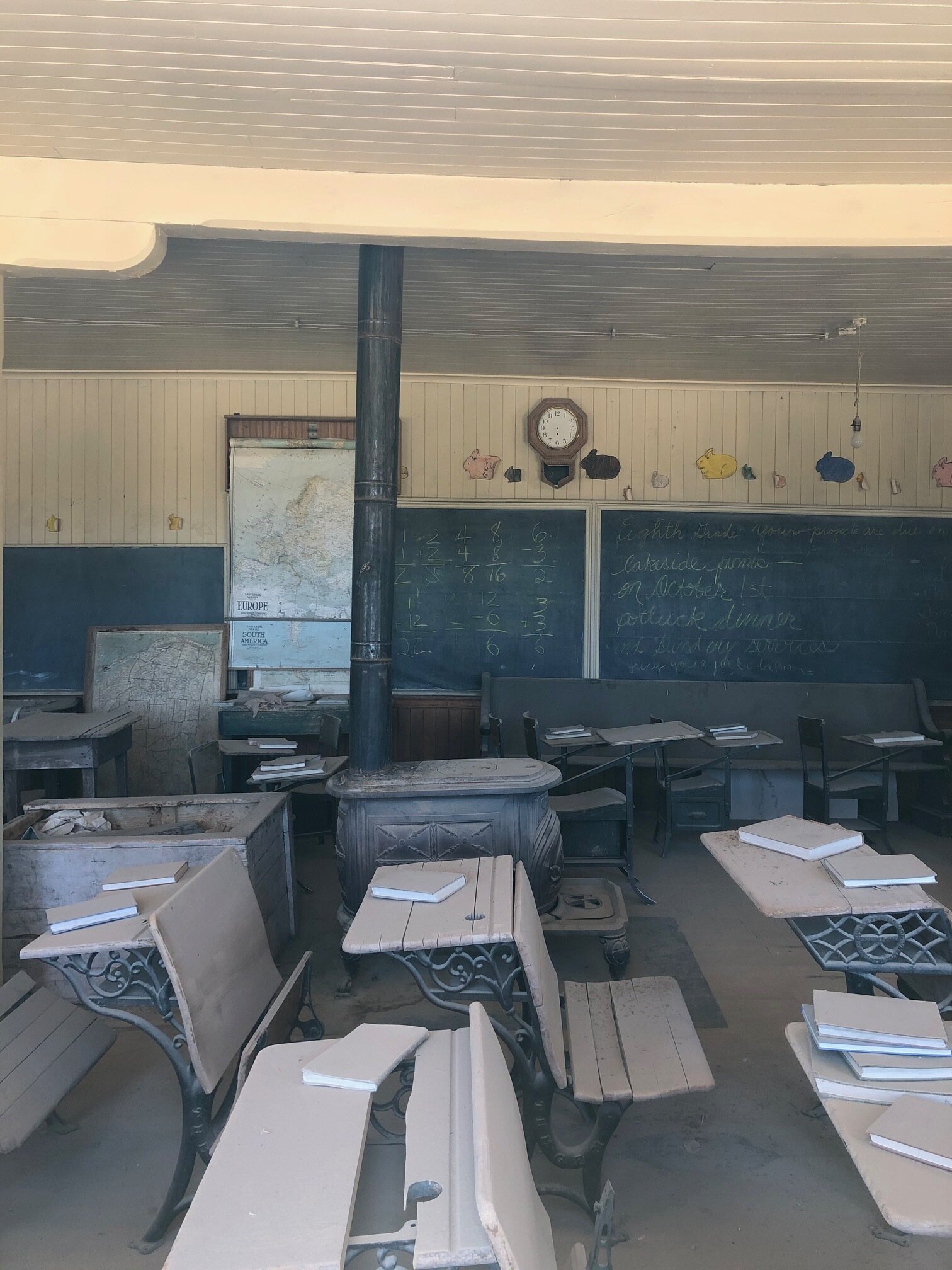
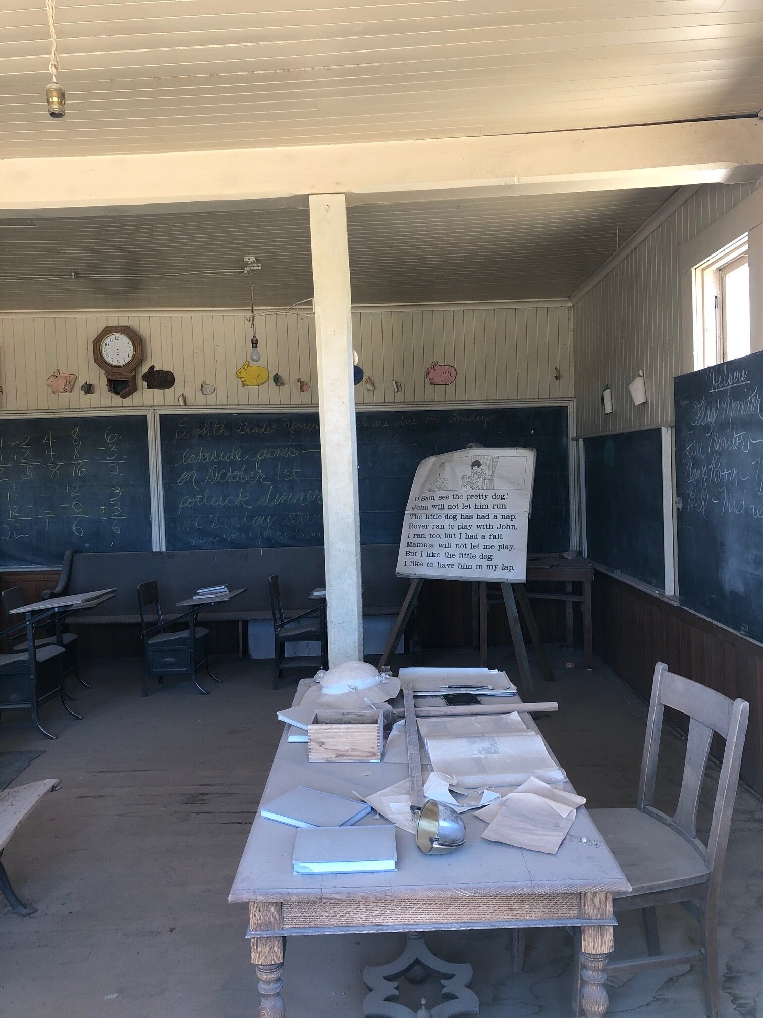
#29: Monterey and Sequoia & Kings Canyon National Parks

July 09, 2020 by Sarah Williams in Along the Way, National Parks

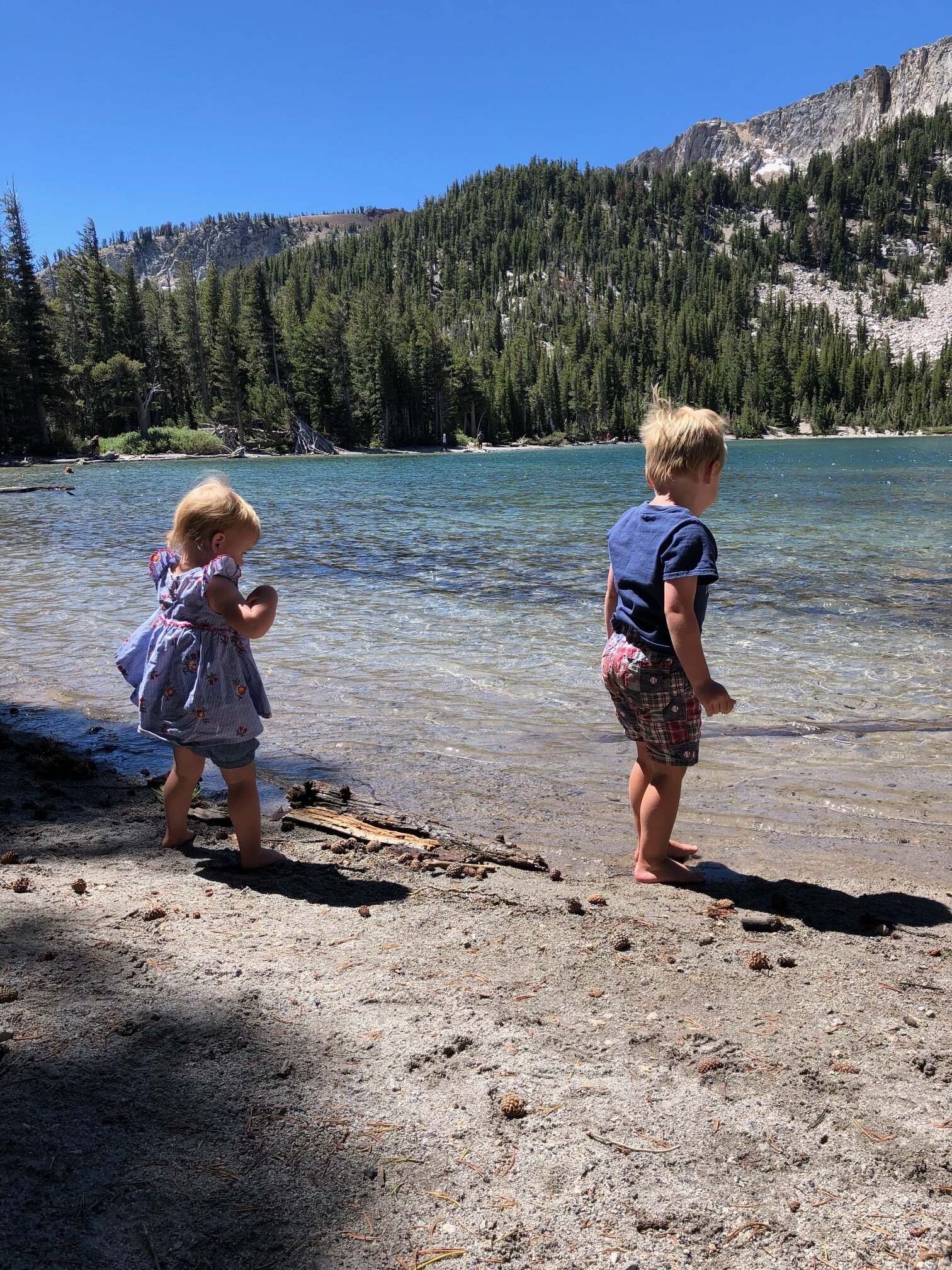
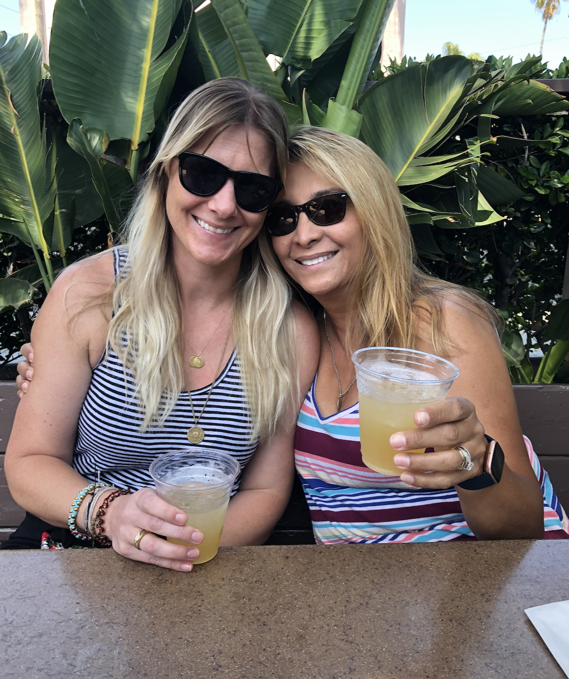
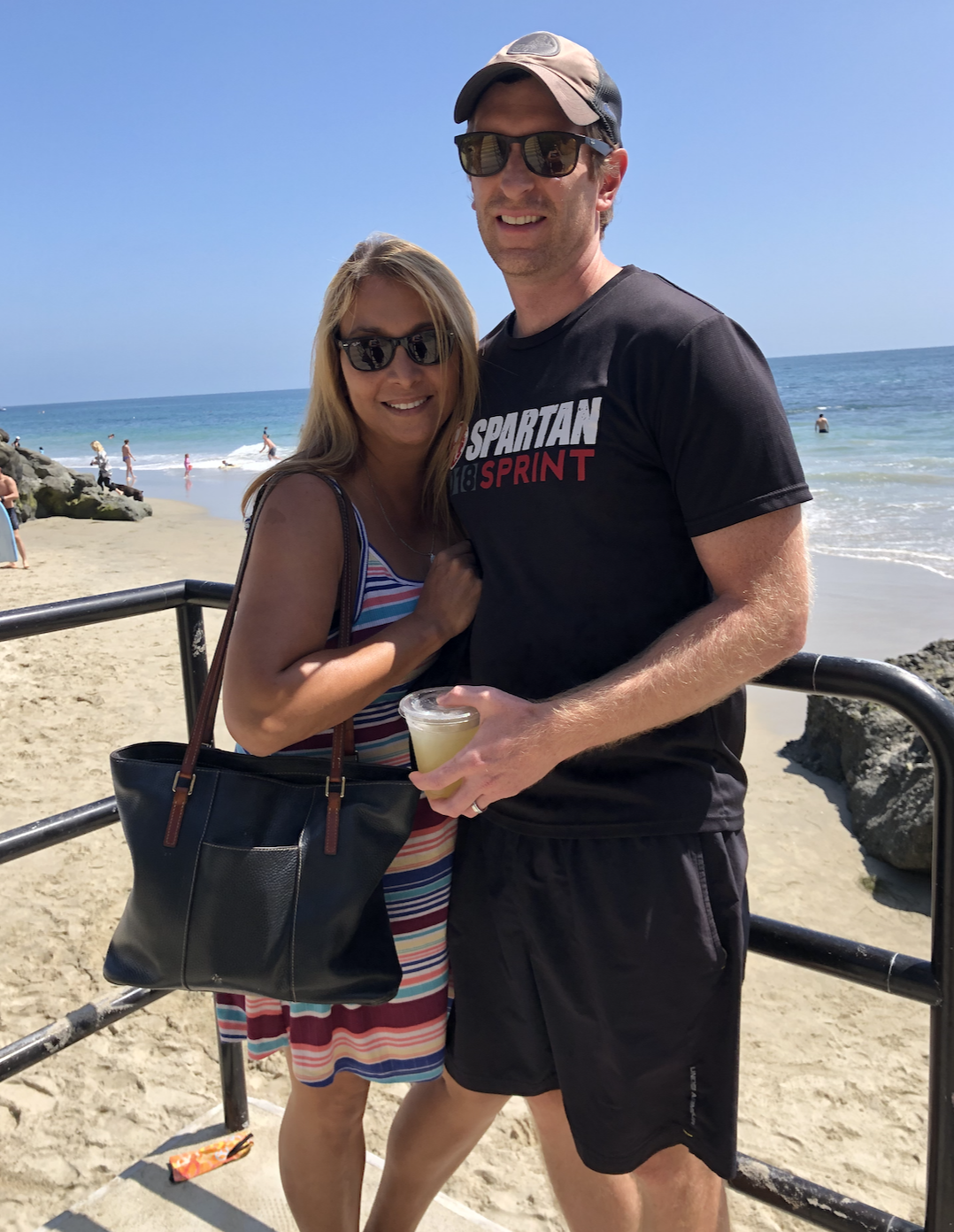
Before taking the weekend to camp and visit Sequoia and Kings Canyon National parks, I spent about a week with my friends Chris and Allison and their family in Sunnyvale, CA. Chris and I met in business school (pretty much day 1) in Ohio, but he now has a killer job at Google. I may have mentioned this before, but getting the chance to spend time with my friends and their kids is remarkable. I got the opportunity to fold into their lives, spend some QT with Allison, and get to know their children. And the kids LOVE Addie, so it was a win-win.

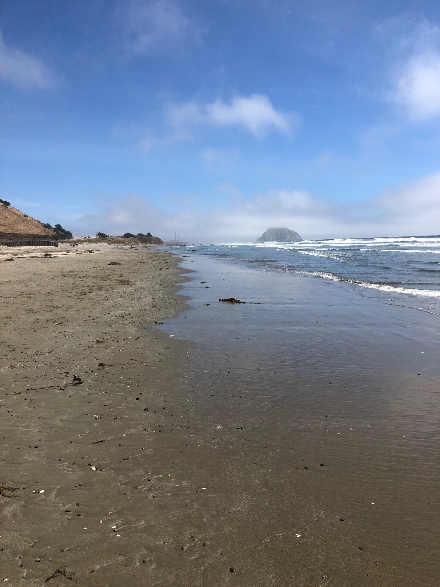
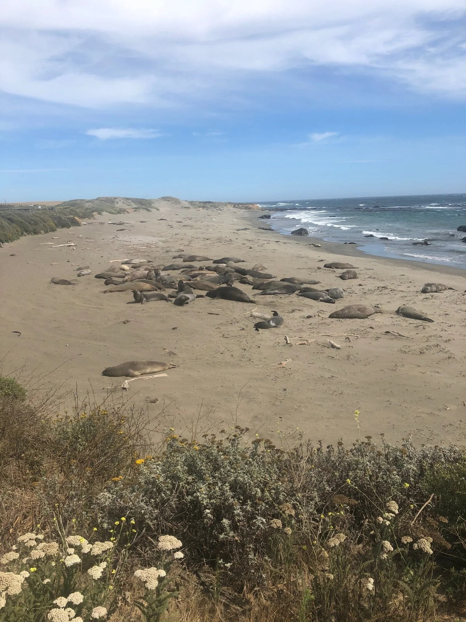
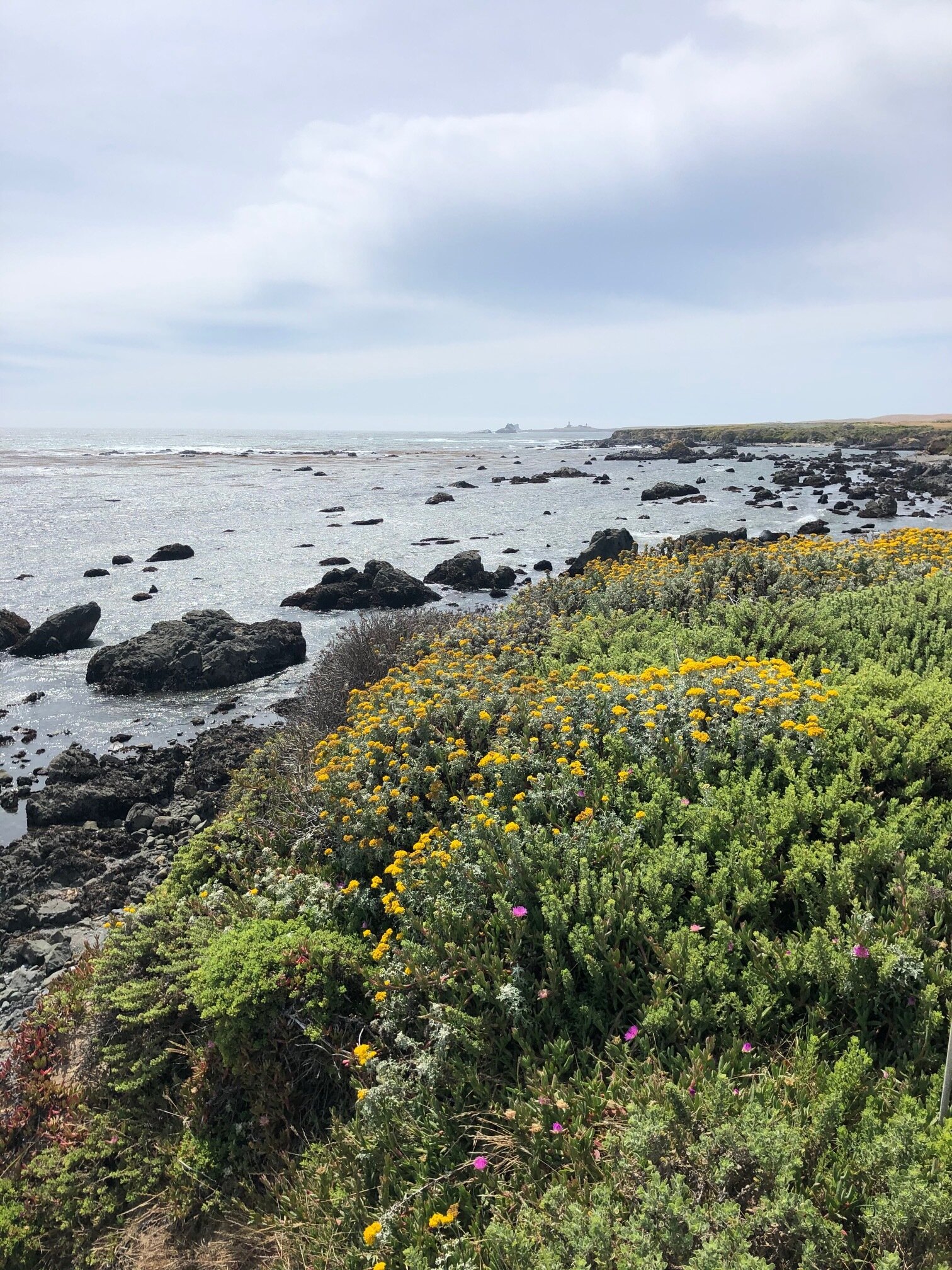
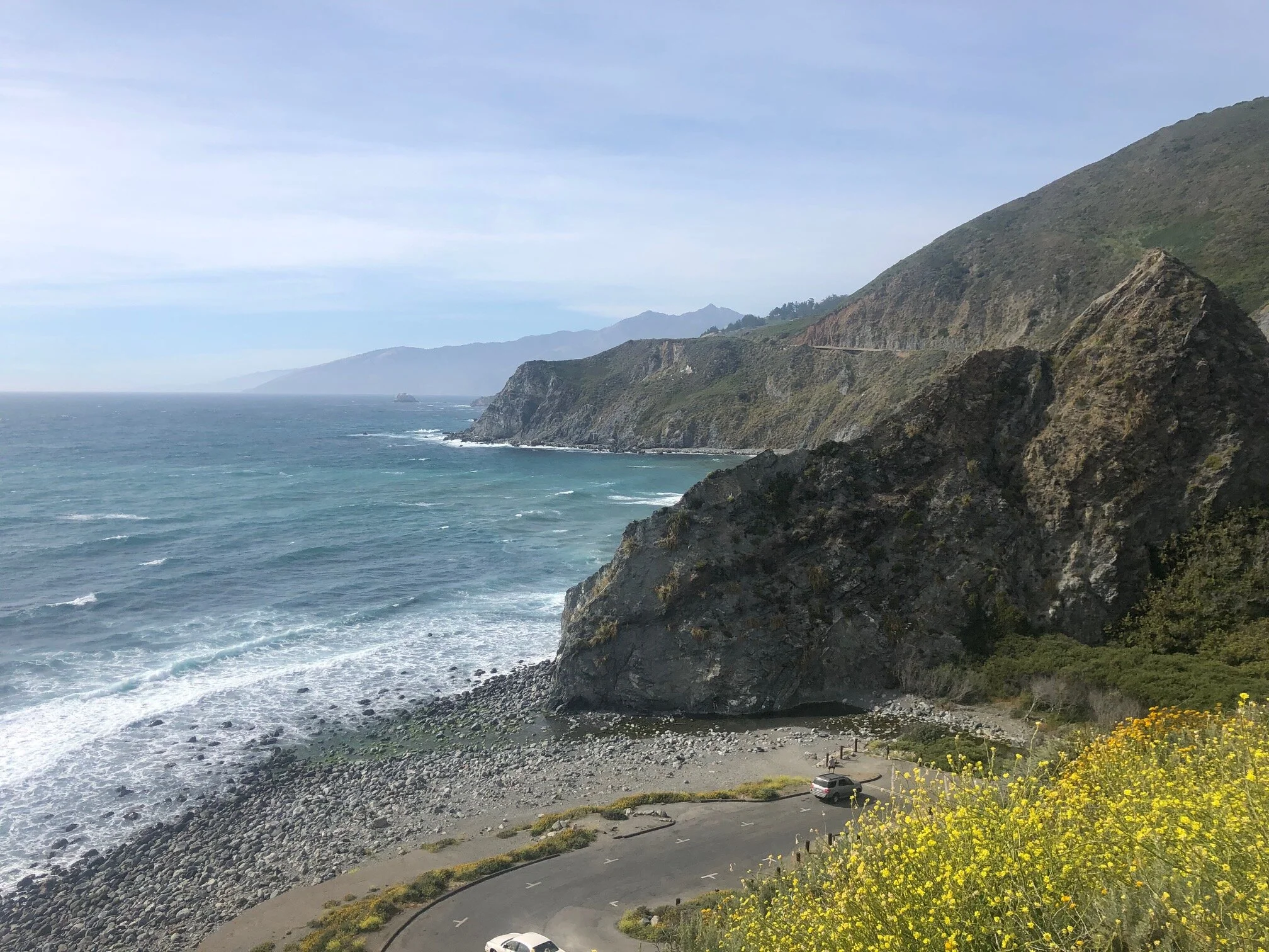
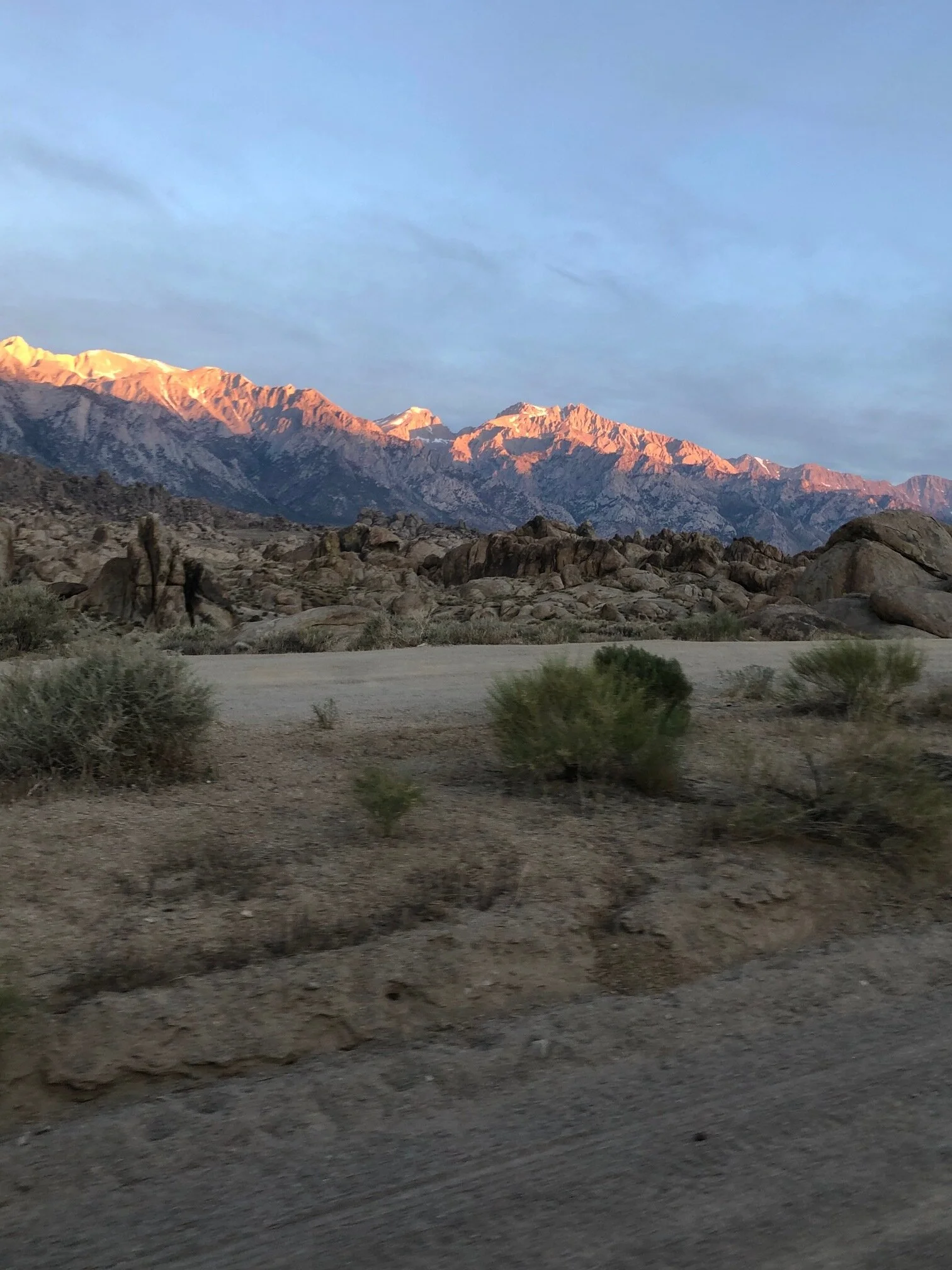
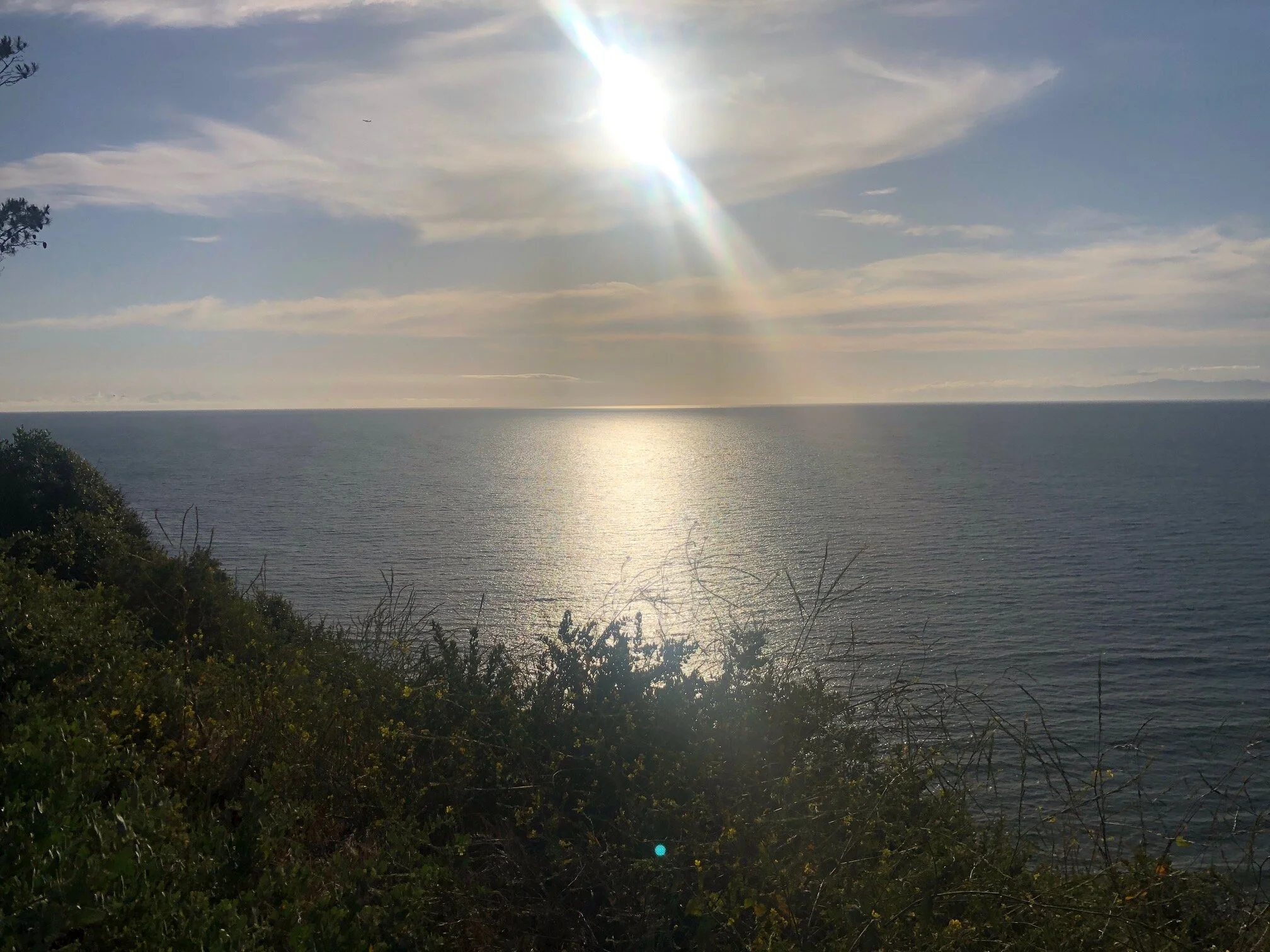
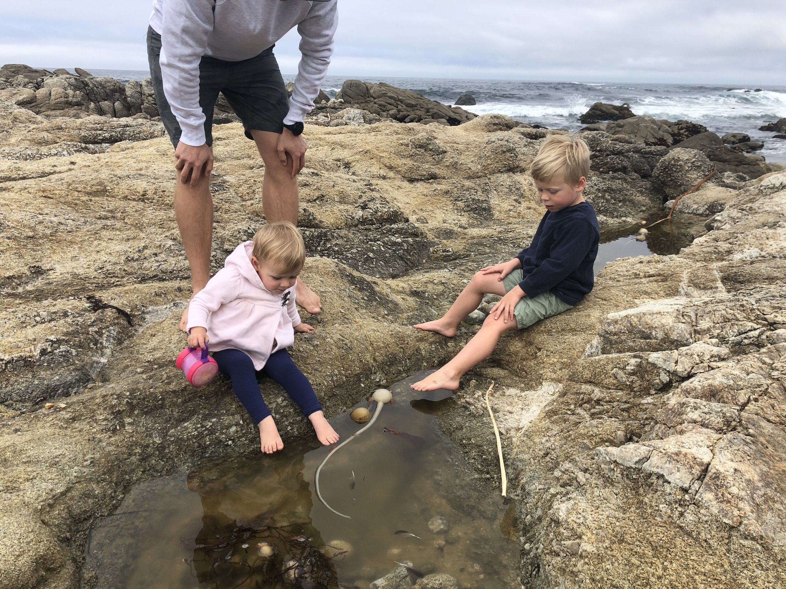
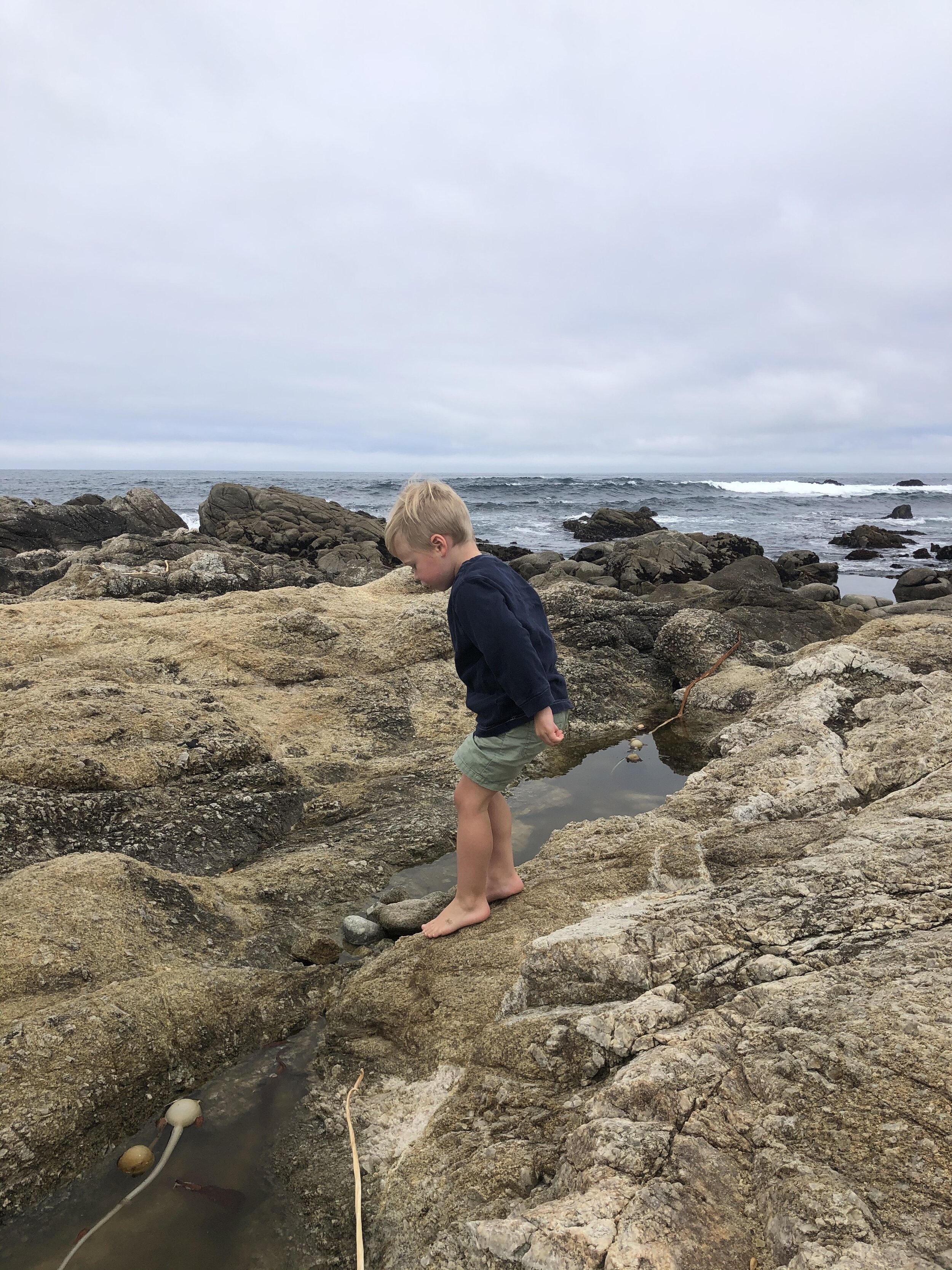
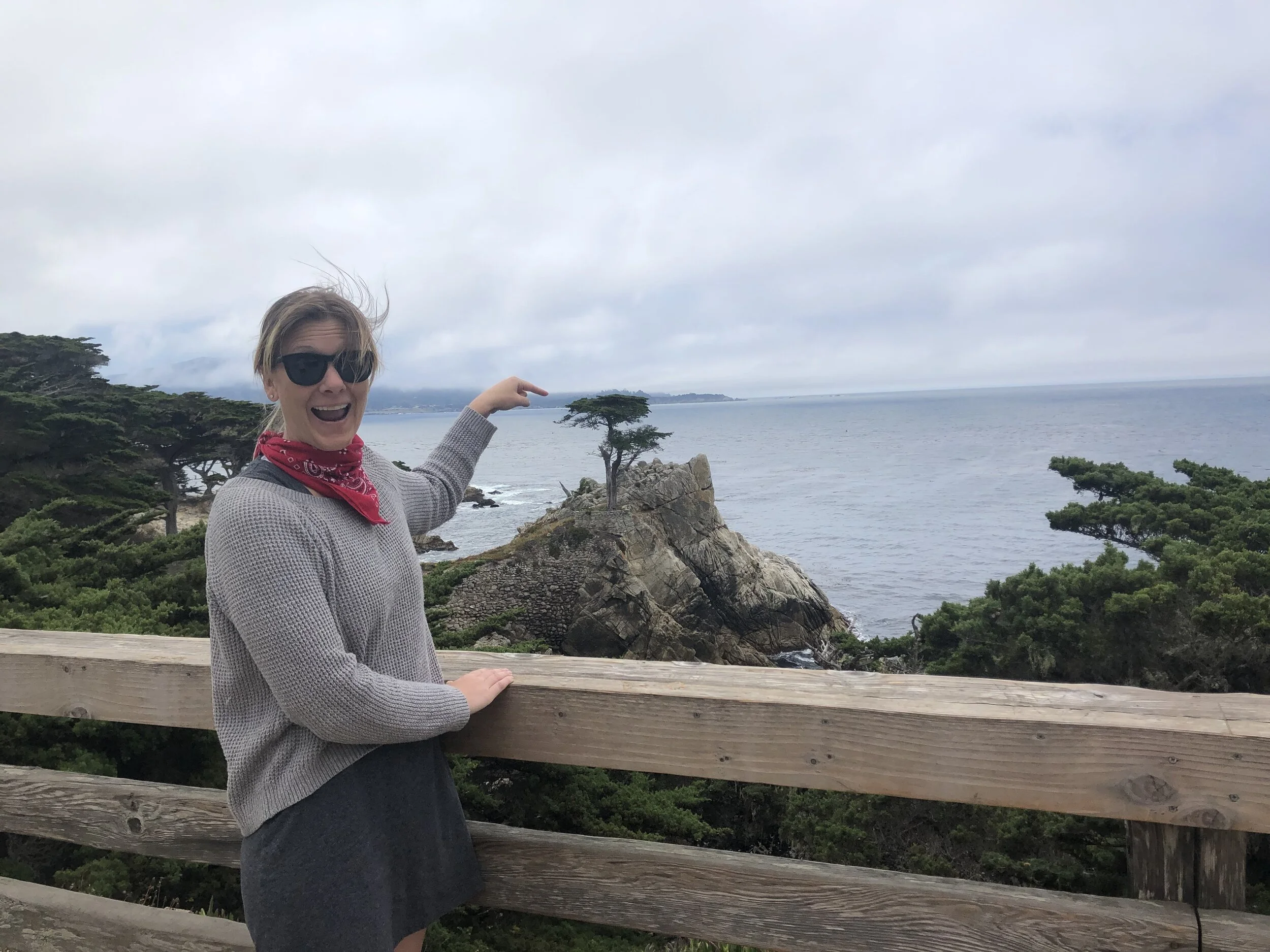
We had a lovely day in Monterey (hey, that rhymes!). We drove the famous 17-mile drive through Pebble Beach and had lunch in Carmel-by-the-Sea. We stopped in the afternoon for a little beach time for the kids. I loved Carmel-by-the-Sea.

IMG_8730.JPG
IMG_5191.jpg
IMG_9439.jpg
IMG_6744.jpg
IMG_6919.jpg
IMG_9566.jpg
IMG_3465.jpg
IMG_8730.JPG IMG_5191.jpg IMG_9439.jpg IMG_6744.jpg IMG_6919.jpg IMG_9566.jpg IMG_3465.jpg

Visiting Sequoia and Kings Canyon National Parks was a treat; for a few different reasons:

1) My friend Chris joined me visiting these two sister parks.

2) I didn’t do any research on these parks (Chris did…), so I had no expectations going in.

In short, often, low expectations equals pleasant surprises.

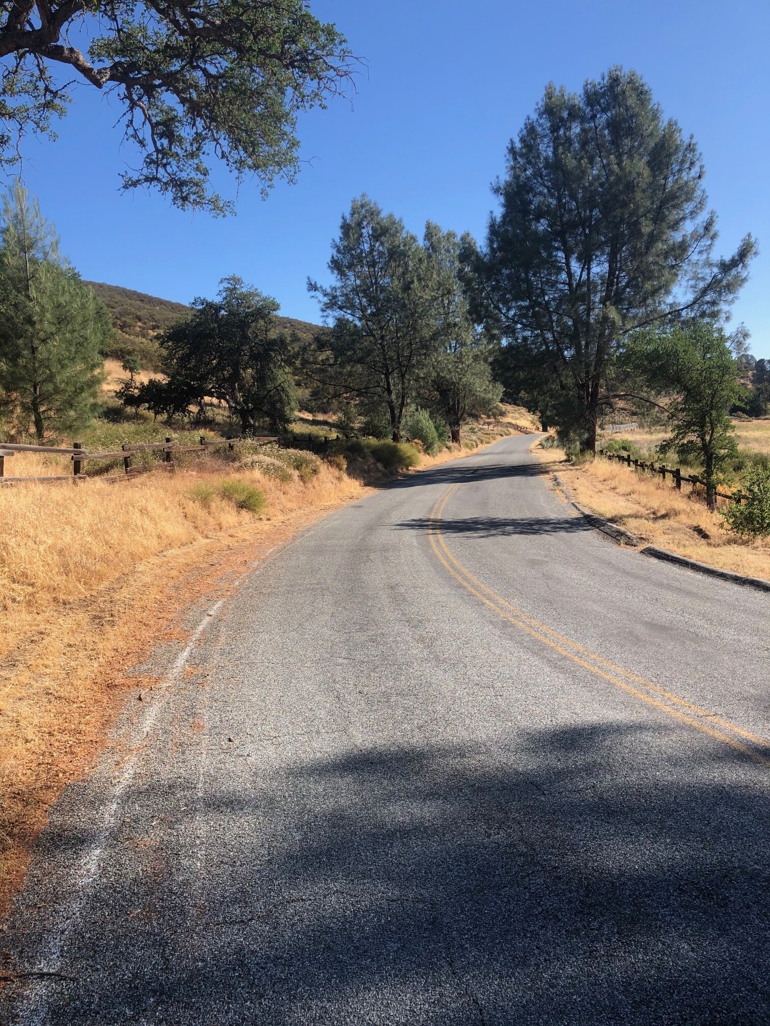
Because campgrounds are few and far between (see my previous post), we made campground reservations in the Sequoia National Forest, but each night at a different campground, due to availability - one night at Upper Stoney Creek Campground, and the other at Princess Campground. Not staying in the same campground meant we were towing the Airstream around with us for most of the weekend.

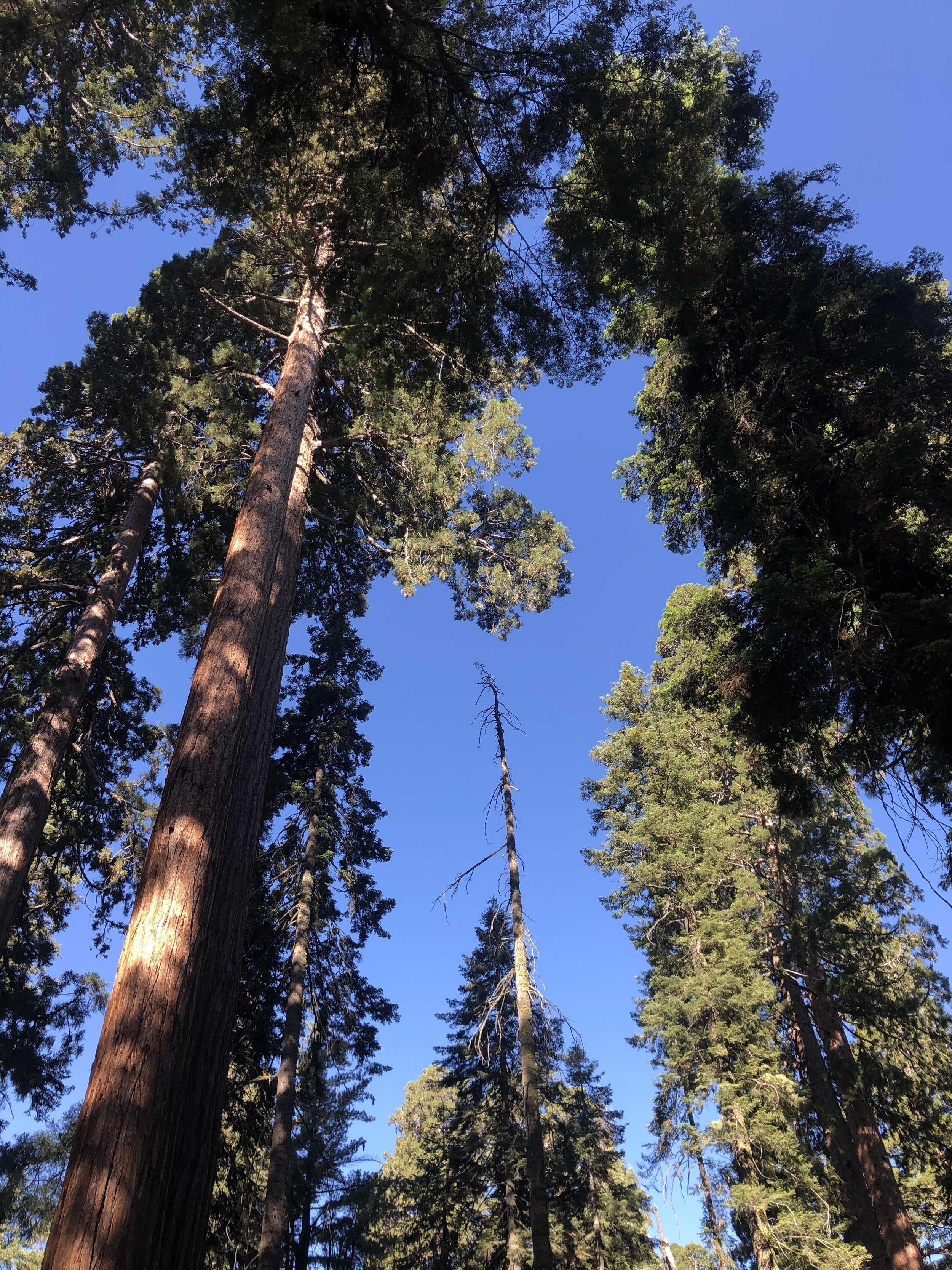
Per Chris’s park research, I learned that Sequoia trees are the largest (by volume) globally. With a depth of 8,200 feet, Kings Canyon is one of the deepest canyons in the United States. These parks also host two of the largest (by volume) trees in the world: General Sherman and General Lee. The General Sherman Tree IS the largest in the world (275 feet tall and over 36 feet in diameter at the base), and the General Lee Tree is the second largest of the Sequoias in the Grant Grove section of the park, and 11th largest in the world.

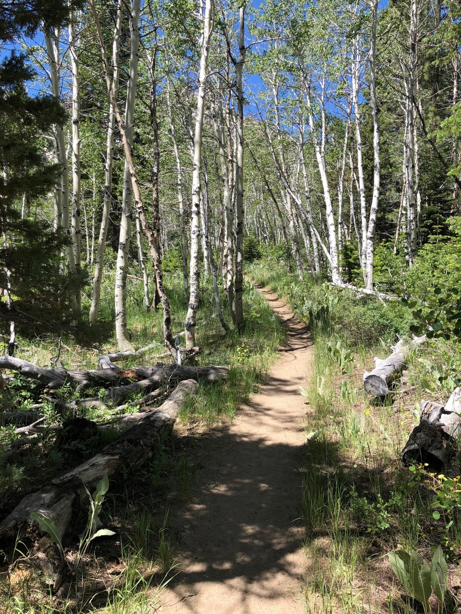
We started by visiting Grant Grove, which is home to the General Lee Tree. We were blown away not only by the size of that tree, but also by all the other trees in the area. The bases of these trees were massive!

IMG_6465.jpg
IMG_7653.jpg
IMG_4735.jpg
IMG_0163.JPG
IMG_0139.JPG
IMG_0128.JPG
IMG_0044.jpg
IMG_6465.jpg IMG_7653.jpg IMG_4735.jpg IMG_0163.JPG IMG_0139.JPG IMG_0128.JPG IMG_0044.jpg

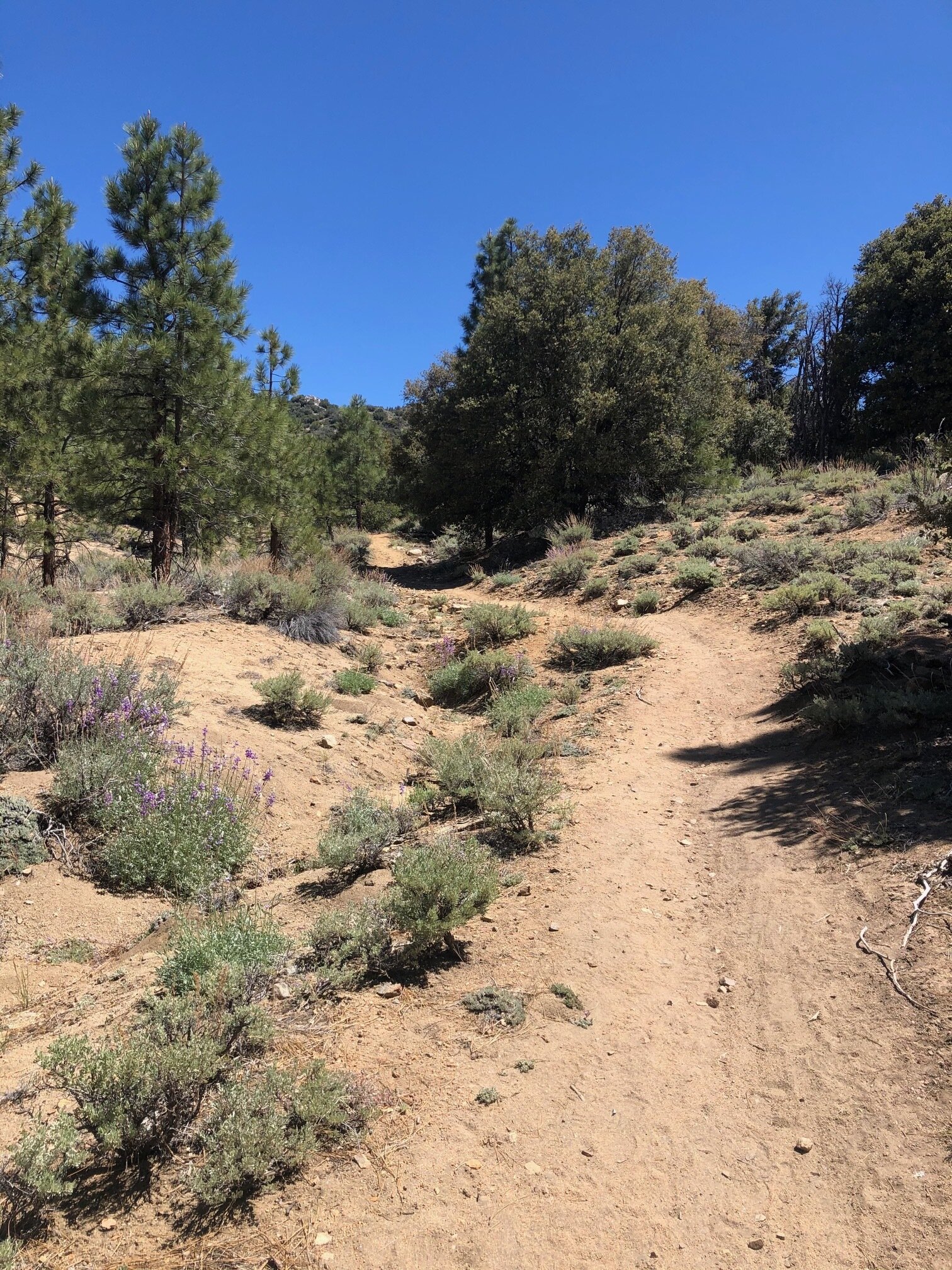
The trees were enormous - but the views driving through the park were equally as impressive. Chris and I took turns driving. I have to say; it was nice to be in the passenger seat for a change. I got to look out the window at the sights without having to pay attention to the road.

IMG_0135.JPG
IMG_6784.jpg
IMG_7723.jpg
IMG_0135.JPG IMG_6784.jpg IMG_7723.jpg

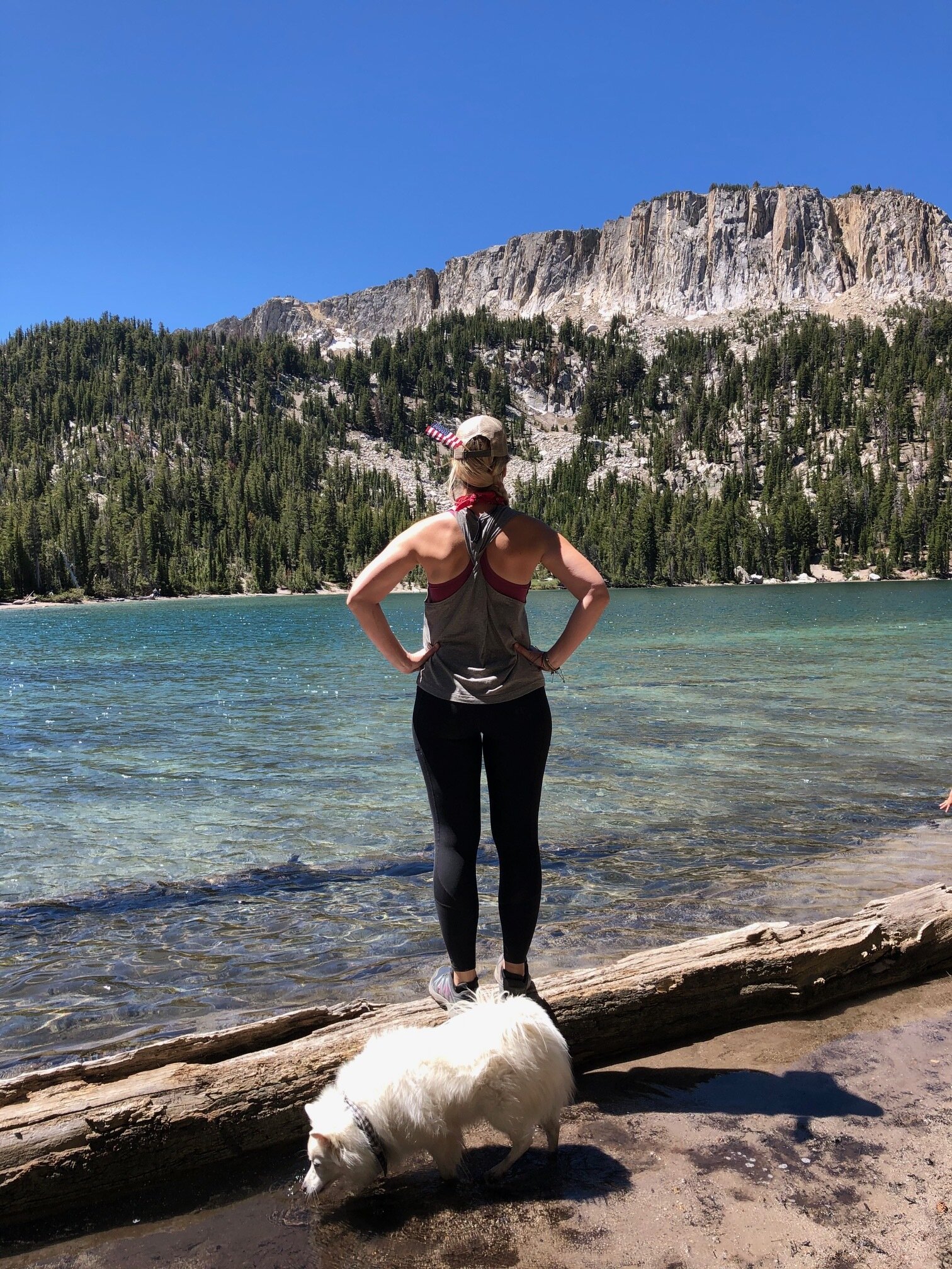
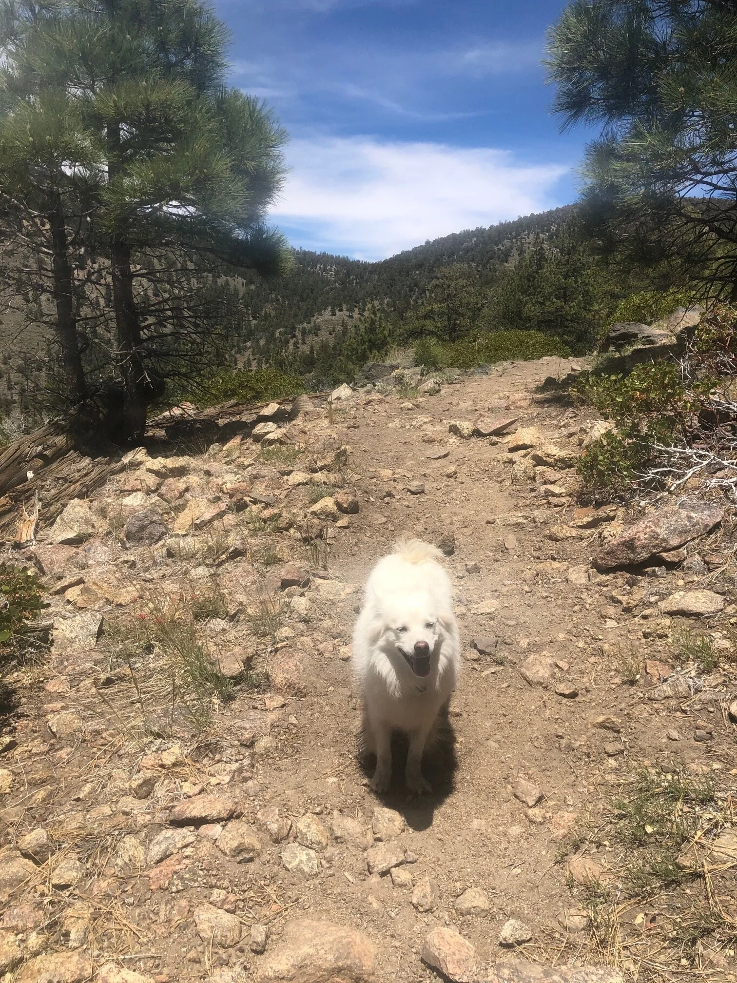
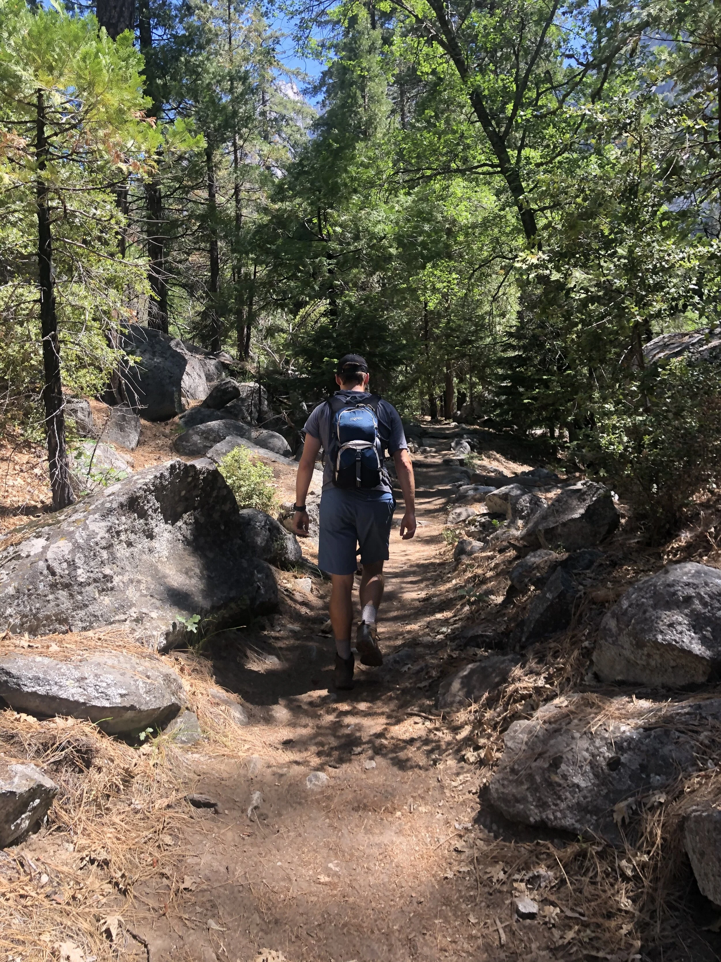
Chris and I did the perfect nine-mile hike. I hate to admit it, but we took Addie with us, despite it being against the rules. The path seemed “less traveled,” so I took the risk. The trail was called Mist Falls, and it snaked through lush greenery, riverbanks, and at the end was a beautiful waterfall. 

IMG_8178.jpg
IMG_9782.jpg
IMG_9874.jpg
IMG_7723.jpg
IMG_4986.jpg
IMG_2001.jpg
IMG_0355.jpg
IMG_0023.JPG
IMG_0031.JPG
IMG_0091.JPG
IMG_0099.JPG
IMG_0110.JPG
IMG_8178.jpg IMG_9782.jpg IMG_9874.jpg IMG_7723.jpg IMG_4986.jpg IMG_2001.jpg IMG_0355.jpg IMG_0023.JPG IMG_0031.JPG IMG_0091.JPG IMG_0099.JPG IMG_0110.JPG

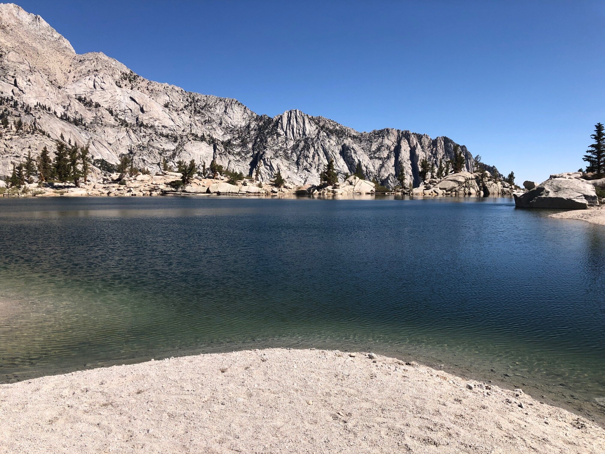
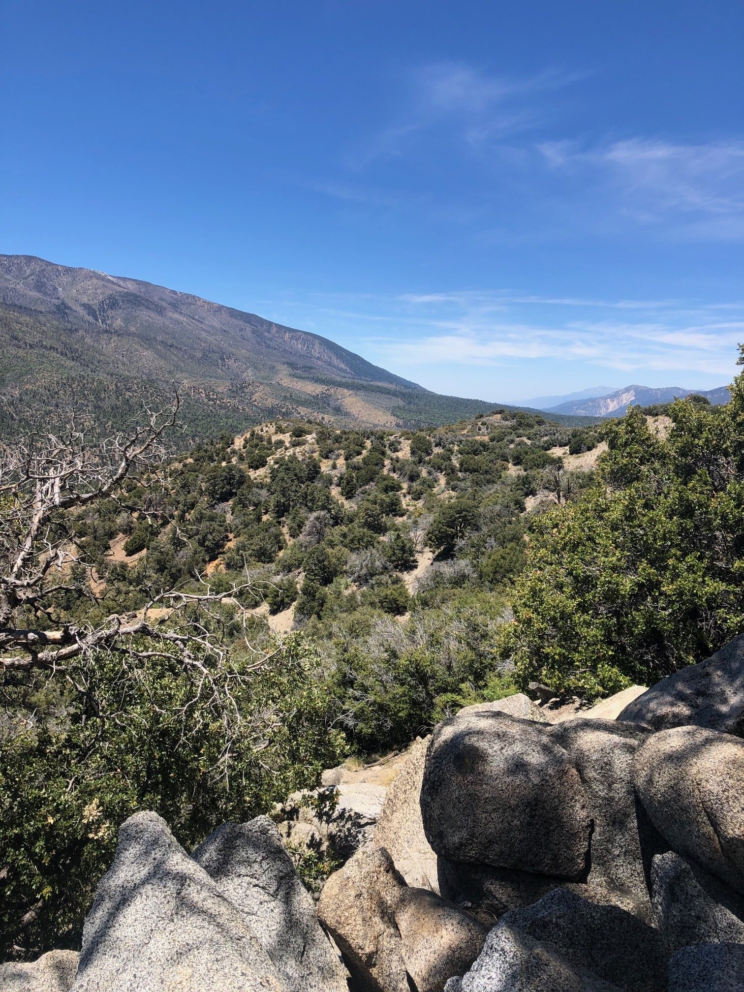
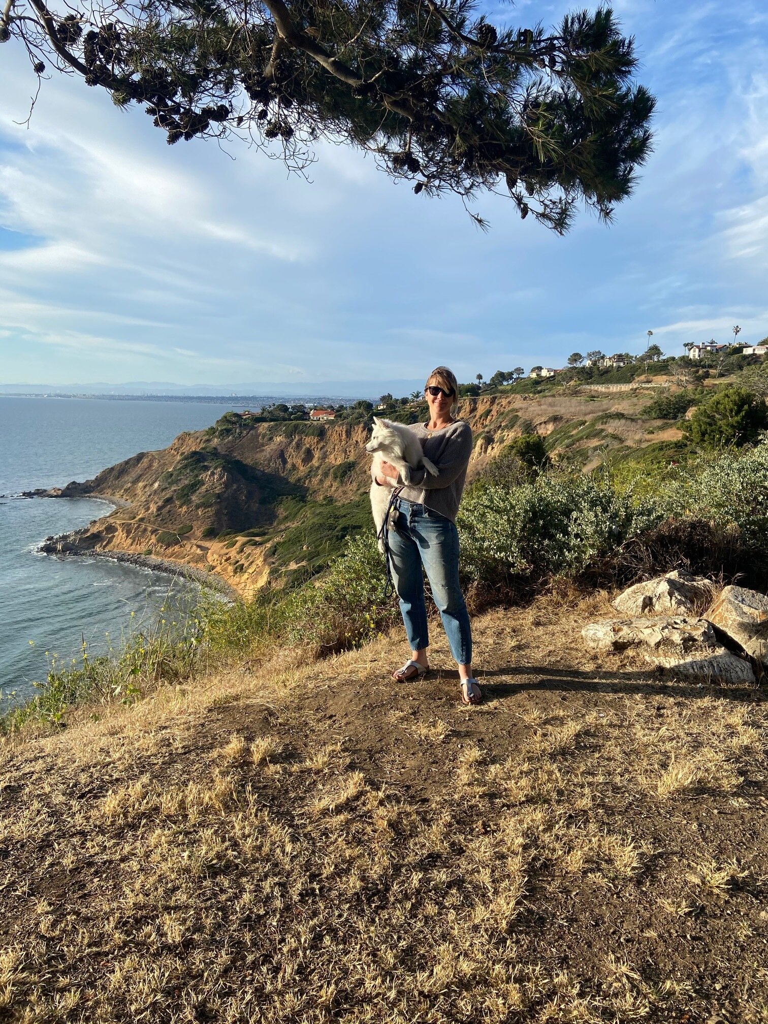
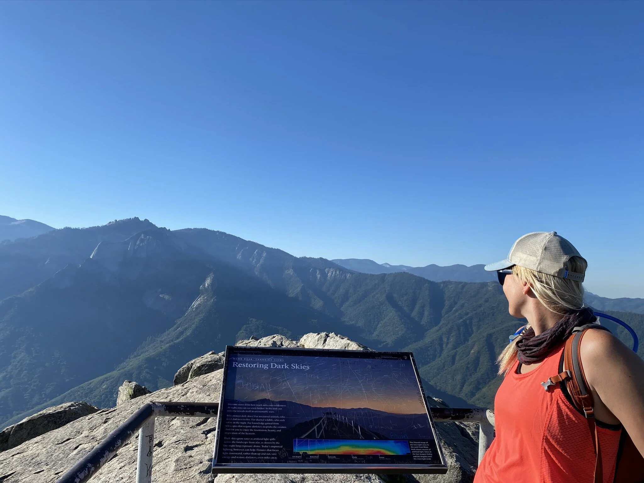
The last day in the parks, we hiked up Moro Rock. From the top, our vantage point afforded us views of both parks - nearly in entirety. We also couldn’t leave without driving through the tunnel log.

IMG_0078.JPG
IMG_9468.jpg
IMG_0121.JPG
IMG_0126.JPG
IMG_0141.JPG
IMG_0078.JPG IMG_9468.jpg IMG_0121.JPG IMG_0126.JPG IMG_0141.JPG

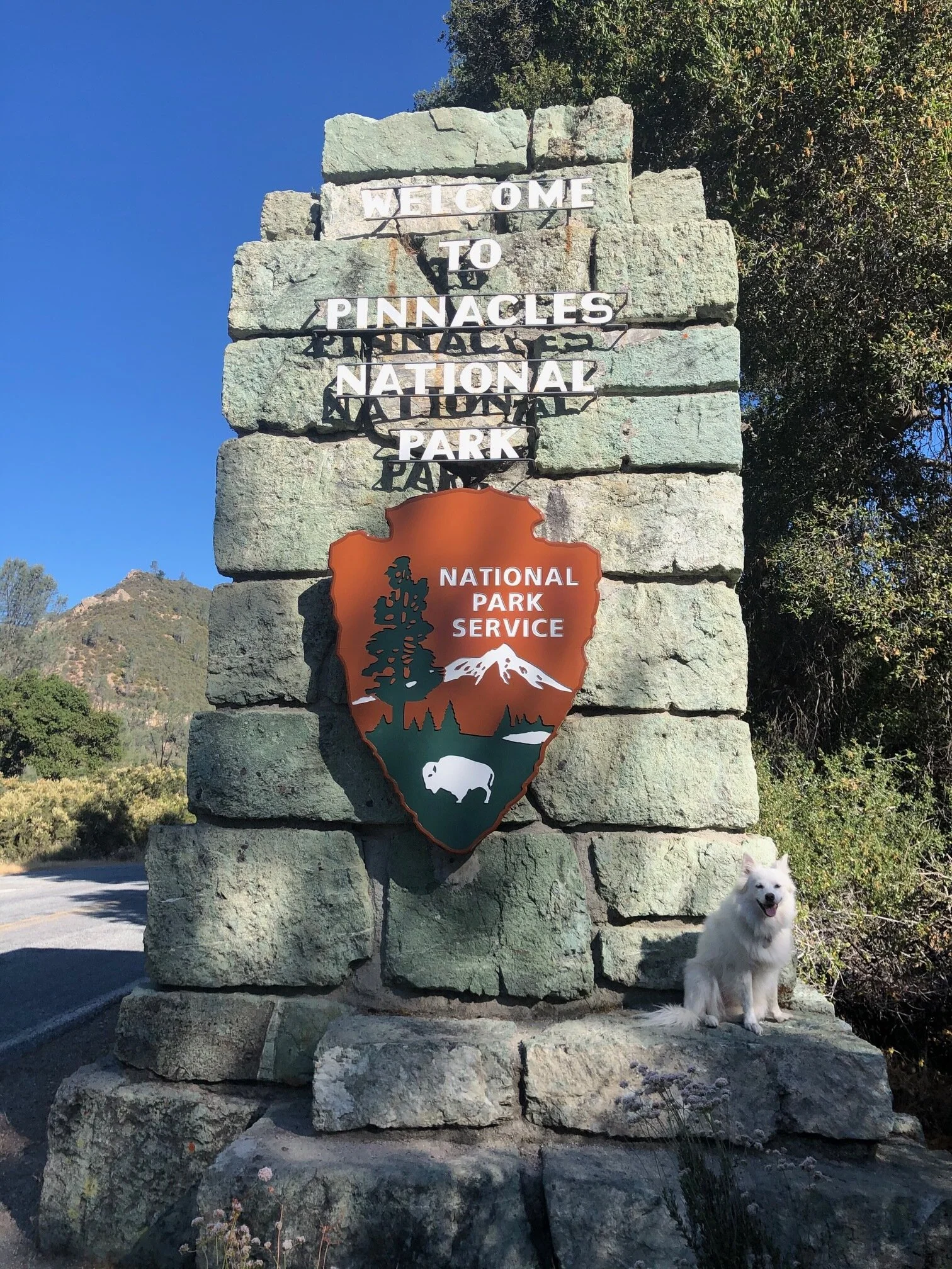
Lastly, here are a few shots of us with the National Park signs. After Addie and I got a photo next to the Sequoia sign, she insisted on being in Chris’s picture as well. She ran up to him as he was standing next to it!

These sister parks were stunning and although I had now expectation for them, they blew me away.

IMG_0066 3.JPG
IMG_0085 3.JPG
IMG_0094.JPG

It’s funny. Many people I meet ask me what my favorite park is so far. It’s not a simple answer. Being a favorite depends on so many factors: the weather, where I’m camping, if Addie is with me or not, if I have a special treat like a friend joining me, how crowded the park is, the ease on navigating the park, etc. It’s way more about the experience in its entirety that makes it a favorite or not. I’d say these parks were definitely a favorite.

July 09, 2020 /Sarah Williams
sequoia tree, sequoia and kings canyon national park, kings canyon, camping, monterey, carmel-by-the-sea, national parks, Airstream, sequoia national forest, general sherman tree, general lee tree, grant grove, Moro rock, tunnel log
Along the Way, National Parks
1 Comment
IMG_8272.jpg

#28: Truckin' Up the California Coast (& Pinnacles National Park)

July 08, 2020 by Sarah Williams in National Parks, Along the Way

Leaving Ventura, the only plan I had was to camp at Pinnacles National Park that very night. I had made a reservation for two nights at the Pinnacles campground, but one night was forfeited since I extended my time in Ventura by a day when I found out Channel Islands National Park was open (see previous post #27). Unfortunately, this happens sometimes, and I do a quick cost-benefit analysis in my mind to decide what to do. In this case, I was more than willing to sacrifice a night at Pinnacles to visit Channel Islands.

It was going to be a long day of driving up the coast - not only was it nearly a four-hour drive to my next destination but also there were a lot of little places I wanted to check out along the way. You may be thinking, “Why did she only give herself a day to go from Ventura to Pinnacles?” (see map below), but I had a tough time finding camping spots along the coast.

Screen Shot 2020-09-21 at 11.51.25 AM.png

I want to note: from here on out on my journey, there are a few things to keep in mind to understand some of the decisions I make:

1) It’s summer, so it’s busy everywhere. You need to take what you can get if you don’t want to plan too far in advance.

2) COVID thing #1. More people are embracing this “nomad” lifestyle and/or choosing to vacation via RV (no one wants to stay in a hotel) to do “outdoor” stuff (outdoor activity is the only option).

3) COVID thing #2: Fewer places/campgrounds are open. I’ve seen parks that have closed every other site to practice social distancing. Some parks have closed entire campgrounds and/or don’t offer camping at all.

4) COVID thing #3: Tours, buses, and organized activities are either not running or not running at full capacity.

More people are out there, and fewer things are open/running. So, if this adventure wasn’t challenging enough, it’s even way more challenging now. But, I keep my head up and put things in perspective: I’m out here doing this, and I’m healthy.

My first stop on this route was Pismo Beach. And by stop, I mean merely a halt. A couple I had met a few weeks earlier had mentioned a cinnamon roll place that I couldn’t resist.

IMG_8231.jpg

It. Was. Delicious. The next two photos were taken about 2 minutes apart. The gooey deliciousness did not last long.

IMG_8232.jpg
IMG_8234.jpg

After a gluttonous five minutes, I hit the road for San Luis Obispo (“SLO” as Californians call it). I couldn’t tell you what, exactly, there was to see in this little town, but since I had heard about it and was going to be close to it, I wanted to check it out.

I was able to park the car and Airstream easily, and Addie and I walked around. I don’t have anything crazy to report on this town. It was quaint, the people were friendly, and the weather was fantastic. There is an array of different types of shops and lots of touristy things to buy. Maybe it’s the retail ingrained in me, but I love exploring different kinds of shops and seeing all of the creativity people put into their small businesses.

The next place I wanted to see was Big Sur. But first, some roadside stops along the way. Around every corner, I wanted to stop as the views were so breathtaking. I think my favorite part was the elephant seals, though. Hehe.

IMG_8246.jpg
IMG_8247.jpg
IMG_8258.jpg
IMG_8249.jpg
IMG_8260.jpg
IMG_8253.jpg
IMG_8263.jpg
IMG_8255.jpg
IMG_8264.jpg
IMG_8268.jpg
IMG_8270.jpg
IMG_8271.jpg
IMG_8246.jpg IMG_8247.jpg IMG_8258.jpg IMG_8249.jpg IMG_8260.jpg IMG_8253.jpg IMG_8263.jpg IMG_8255.jpg IMG_8264.jpg IMG_8268.jpg IMG_8270.jpg IMG_8271.jpg

When I got to Big Sur, I admit I was somewhat confused. I noticed how the forest butted right up to the coastal cliffs, but I didn’t know what, specifically, to look for. According to the Big Sur Chamber of Commerce, “Big Sur refers to that 90-mile stretch of rugged and awesomely beautiful coastline between Carmel to the north and San Simeon (Hearst Castle) to the south.” Pfeiffer Big Sur State Park is a beautiful park in this area, but I couldn’t camp there due to limited availability. So, technically I went to Big Sur, but I didn’t explore Big Sur. Next time.

And speaking of Hearst Castle, it was closed due to COVID. Once again, next time.

I arrived to Pinnacles National Park around sundown. There is one campground at this park, and it’s accessible only from the east side of the park. There is no through road in this park, meaning you can’t get through the park by driving. Given that I had never heard of this park, and my long day, I neglected to do any research on this park beforehand. If I did, I would have known to enter from the east side of the park. However, I pulled up to the west entrance. I had no service and couldn’t figure out where to go. So, I drove back out where I had service (about 25 minutes), googled the park map, and came to the realization that the campground is on the other side.  

I drove about an hour around the park to the east entrance, and by the time I arrived at the campground, it was dark. Backing into my spot in the pitch black was, well, interesting, but I got it done.

I was disappointed when I went to explore Pinnacles the following morning. The road in the park next to the campground was closed off to vehicles. Many people biked to trailheads, but A) I don’t have a bike with me, and B) I have Addie. We decided to walk on the road, and we “hiked” for about five miles. Addie wasn’t allowed on any of the hiking trails, so we turned around and went back to the campground. Although I spoke to a ranger that morning, I’m still not entirely sure what the park is known for. Alas, we went.

IMG_8274.jpg
IMG_8276.jpg
IMG_8282.jpg
IMG_8285.jpg
IMG_8287.jpg
IMG_8288.jpg
IMG_8274.jpg IMG_8276.jpg IMG_8282.jpg IMG_8285.jpg IMG_8287.jpg IMG_8288.jpg

We packed up and headed north to visit friends in Silicon Valley. On the way, I couldn’t resist stopping in Gilroy - known as the Garlic Capital of the World - at “The Garlic Shoppe.” I love garlic and spent way too much money in there to admit. With garlic breath, we got back in the car for the last stretch to Sunnyvale.

IMG_3980-1.jpg
July 08, 2020 /Sarah Williams
California coast, San Luis Obispo, Airstream, Gilroy, Pinnacles National park, camping, covid-19, Pismo beach], big sur, Hearst Castle
National Parks, Along the Way
Comment
IMG_8045.jpg

#26: US Route 395

July 07, 2020 by Sarah Williams in Along the Way

As I mentioned in my previous post, US Route 395 runs north and south on the eastern side of the mountain ranges in California. Typically, when California is visited, people go north and south on the Pacific Coast Highway (Route 1), the 101, or the I-5. But 395 is a hidden gem (at least it was for me).

Heading north on 395, I based my next destination on where I could find decent camping. I read that there is a lot of free land to camp on, but I found a first-come, first-served BLM campground for $10/night. I figured that was good enough, and I could scope out more extensively once I arrived. This campground was outside a small town called Lone Pine.

Well, I landed this spot and couldn’t have been happier - especially for somewhat wingin’ it.

IMG_7880.jpg
61345140365__0041D731-0186-419E-BC03-A1DB689099BE.JPG

The remarkable thing about this area along 395 is that the terrain goes from the desert, right to the mountains. There is not much as far as foothills. Even after exploring the Rockies, I had never seen anything like this (maybe on the western slope…sort-of?).

I learned that the trailhead for the hike up Mount Whitney (the highest peak in the contiguous United States) is here outside Lone Pine. Also, Alabama Hills. Alabama Hills is where many-a-westerns have been filmed and is famous for its unique rock (hill) formations.

IMG_7893.jpg
IMG_7895.jpg
IMG_7896.jpg
IMG_7900.jpg
IMG_7902.jpg
IMG_7904.jpg
IMG_7906.jpg
IMG_7909.jpg
IMG_7914.jpg
IMG_7915.jpg
IMG_7917.jpg
IMG_7893.jpg IMG_7895.jpg IMG_7896.jpg IMG_7900.jpg IMG_7902.jpg IMG_7904.jpg IMG_7906.jpg IMG_7909.jpg IMG_7914.jpg IMG_7915.jpg IMG_7917.jpg

After hiking around Alabama Hills and exploring Lone Pine after grabbing some lunch there, I started doing some research on more places to hike. I wanted to experience the start of the Mount Whitney trail. I had read there was a beautiful lake about 3.5 up the Mount Whitney Trail. However, I debated doing this hike immensely. Because of COVID, the paved road to drive to the trailhead was closed. Having to walk/hike this road added seven miles to the already 7-mile hike. BUT, Addie and I were up for the challenge, so we got up early the next morning and were on the trail (well, road) by 6:45 am.

It was worth every step. I got to the lake, and I was the ONLY person there. No crowds. No voices. Nothing. Just Addie, serene nature, and me. Words cannot describe that 30 minutes I spent up there.

IMG_7946.jpg
9C9B3642-27D0-436F-8718-E50527502C34.JPG
C2BB6AF9-FBFF-4016-B176-3C8830FE7D30.JPG
IMG_7950.jpg
IMG_7957.jpg
IMG_7961.jpg
IMG_7963.jpg
IMG_7965.jpg
IMG_7967.jpg
IMG_7969.jpg
IMG_7971.jpg
IMG_7975.jpg
IMG_7993.jpg
IMG_8001.jpg
IMG_7970.jpg
IMG_7946.jpg 9C9B3642-27D0-436F-8718-E50527502C34.JPG C2BB6AF9-FBFF-4016-B176-3C8830FE7D30.JPG IMG_7950.jpg IMG_7957.jpg IMG_7961.jpg IMG_7963.jpg IMG_7965.jpg IMG_7967.jpg IMG_7969.jpg IMG_7971.jpg IMG_7975.jpg IMG_7993.jpg IMG_8001.jpg IMG_7970.jpg

After a wonderful few nights in Lone Pine, my intention was to keep heading up 395. As they often do, my plans got diverted. Due to some logistical reasons, I backtracked a little after visiting Lone Pine and headed back south. Even though I loved the mountains, I also wanted to see the coast. And it made sense to go back and do that at this specific time before I got too far north. So, I headed back to the coast to conquer that leg of the trip. I would come back to 395 afterward. To keep things simple, though, I’ll tell you about the rest of my time on 395 in this post (even though I visited other places in between).

Before I left Lone Pine, though, Addie and I got up before sunrise to have a photoshoot. Check out these photos:

IMG_8042.jpg
IMG_8048.jpg
IMG_8052.jpg
IMG_8053.jpg
IMG_8056.jpg
IMG_8083.jpg
IMG_8091.jpg
IMG_8047.jpg
IMG_8094.jpg
IMG_8095.jpg
IMG_8042.jpg IMG_8048.jpg IMG_8052.jpg IMG_8053.jpg IMG_8056.jpg IMG_8083.jpg IMG_8091.jpg IMG_8047.jpg IMG_8094.jpg IMG_8095.jpg

After an incredible three days at Yosemite (more on that to come later), the eastern entrance/exit of Yosemite dumped me right back onto 395. There were a few other small towns I wanted to check out, including Bishop, Big Pine, Benton, Lee Vining, and Bridgeport. Bishop was a fantastic place to get some errands done - wash the car and the Airstream, fill up propane, dump the black tank, and fill up the freshwater tank.

Big Pine and Benton were small western towns. I found some BLM land near a hot spring north of Big Pine and Benton to camp for a night or two. This area has a lot of hot springs. After testing out a few, though, I have decided that I don't love them. They are usually crowded, which means people have to wait to get in until others get out, and the water is shallow. With a murky appearance, the water is not so inviting. The campsite nearby worked out fine, though. Live and learn on the hot springs. It was still cool to check them out.

A few people I met in the hot spring suggested I check out a small ghost town called Bodie. It was on my way to Bridgeport, where I was going next, so I decided to make the stop (they had me at "ghost town"). It was AWESOME. The road to get there was a bit long and cumbersome (especially with the Airstream in tow), but it was worth it. After paying a nominal state park fee to get in, I was astounded at what I saw. It's like the townspeople just got up and left this place. Clothes were still hanging on hooks, bedding was still intact, and stores still had products on shelves. See for yourself:

IMG_8677.jpg
IMG_8678.jpg
IMG_8679.jpg
IMG_8681.jpg
IMG_8683.jpg
IMG_8684.jpg
IMG_8686.jpg
IMG_8687.jpg
IMG_8688.jpg
IMG_8689.jpg
IMG_8690.jpg
IMG_8692.jpg
IMG_8693.jpg
IMG_8694.jpg
IMG_8695.jpg
IMG_8696.jpg
IMG_8697.jpg
IMG_8699.jpg
IMG_8677.jpg IMG_8678.jpg IMG_8679.jpg IMG_8681.jpg IMG_8683.jpg IMG_8684.jpg IMG_8686.jpg IMG_8687.jpg IMG_8688.jpg IMG_8689.jpg IMG_8690.jpg IMG_8692.jpg IMG_8693.jpg IMG_8694.jpg IMG_8695.jpg IMG_8696.jpg IMG_8697.jpg IMG_8699.jpg

After visiting Bodie, it was on to Bridgeport. I had a campground in mind after speaking to a couple while camping in the San Bernadino National Forest. I headed straight for it. Luckily, there were plenty of campsites available for me to cozy up in a prime spot.

Bridgeport is a small cowboy town. And it’s beautiful. Nestled in a grassy valley, surrounded by mountains, it’s very small-town America. See brochure below to get an idea. My campground was in some of the mountains surrounding the town - about a 20-minute drive outside. There are hot springs here, too, which I did check out. I found the same situation as the other one, so I never ended up going in. I did fall down while “hiking” to them in my Birkenstocks. That was fun (sarcasm).

IMG_8702.jpg

Usually, wherever I go I try to find a cool hike relatively close by. I found one, but then stumbled upon a different one. It often works out that way. In fact, a lot of what I do works out that way!

This was my stumbled-upon hike. Barney Lake was my reward after about four miles.

IMG_8706.jpg
IMG_8708.jpg
IMG_8713.jpg
IMG_8709.jpg
IMG_8706.jpg IMG_8708.jpg IMG_8713.jpg IMG_8709.jpg

My final stop on 395 was Mammoth Lakes. I met my friends Chris and Allison and their two kids for the 4th of July weekend. It. Was. So. Fun. We found some cool lakes, did some hiking with the kiddos, hit up a few breweries, and explored the area. I also really enjoyed staying in a condo for a few days and taking real showers (thanks, guys!). hehe.

IMG_8731.jpg
IMG_8737.jpg
IMG_8746.jpg
IMG_8752.jpg
IMG_8759.jpg
IMG_8763.jpg
IMG_8766.jpg
IMG_8774.JPG
IMG_0004.JPG
IMG_0149.JPG
IMG_0024.JPG
IMG_0042.JPG
IMG_0048.JPG
IMG_0082.JPG
IMG_0087.JPG
IMG_0138.JPG
IMG_8731.jpg IMG_8737.jpg IMG_8746.jpg IMG_8752.jpg IMG_8759.jpg IMG_8763.jpg IMG_8766.jpg IMG_8774.JPG IMG_0004.JPG IMG_0149.JPG IMG_0024.JPG IMG_0042.JPG IMG_0048.JPG IMG_0082.JPG IMG_0087.JPG IMG_0138.JPG

If you haven’t gathered, I loved all my stops on 395. The best part about it was that 395 wasn’t even going to be part of my route until I spoke to people who told me it was a can’t-miss. They were right. I’ve found some new favorite places and I shall return to them one day. For now, though, there is more of CA to explore!

Also, I realize I rarely mention Addie in this post (shameful!). If you are wondering, she feels the same way as I do about all the places on 395 that we visited.

July 07, 2020 /Sarah Williams
395, US route 395, hot springs, Bodie, mountains, Mt. Whitney, Lone Pine, Alabama Hills, Mount Whitney Trail, Bishop, Big Pine, Benton, Lee Vining, Bridgeport, ghost town, hiking, Barney Lake, Mammoth Lakes
Along the Way
4 Comments
332BD063-5D04-46D8-870A-EBB2B41625F3.JPG

#25: Heading East in California

June 09, 2020 by Sarah Williams in Along the Way

Before this year, the only places I’d been in California were places on the coast - LA, Santa Barbara, San Francisco, etc. I had no idea what I was about to embark on when I decided to go east from the California coastline. Ironically enough, the places I never knew existed became my favorite spots in the state. That’s the thing, though. We all do it - we generalize. We think “California,” and we think the coast because that is what we see in movies or have visited. But like everything else, there is so much more than what is initially perceived. I digress. So, ANYWAY…

Because I was so close to San Diego, I headed down there for one night. I managed to secure a campsite at a San Diego county park. This way, I was close to the city, but not dealing with an RV park (I usually avoid RV parks if I can help it. Not only are they pricier because they include amenities such as playgrounds, game rooms, community areas, etc., but they also tend to have more families and parties staying for more extended periods - not campers. It’s more enjoyable for me to stay with like-minded folks.). 

IMG_7757.jpg

An old friend from my hometown with whom I had reconnected recently had settled in San Diego, and he recommended I check out Sunset Cliffs. Here, I took in a short walk with Addie along the cliffs and watched surfers catch some waves (although, it appeared they were mostly hanging out in the water - I didn’t see many waves “caught”…). It was gorgeous, and it was here where I really felt I was in Southern California - surfboards on top of cars, people in wetsuits walking around, beach towns, and the sound of waves crashing.

IMG_9643.jpg
IMG_7759.jpg
IMG_7761.jpg

As thrilled as I was to be near the ocean, I was anxious to hit the road for the San Bernadino Forest the next day. The same friend I mentioned earlier, Jared, was coming up to meet me the following day, so it was my job to scope out a campsite before him arriving. This camping trip was the first time I was camping in California, on forest service land. It’s not a state park, but it’s US-owned forest land. You can make reservations, but I hadn’t. I was wingin’ it.

I arrived around 2 pm on a Friday (as I write this months later, I now understand the downfall of that), and I was relying on snagging a first-come, first-served (abbreviated as “FF”) spot. I drove around and around. Although I saw open sites, I also saw “reserved” tags on each of them. I was confused because if some sites were FF, they shouldn’t be reserved. With the mentality of “you never know if you don’t ask,” I knocked on the camp host’s door to find out if I had any options. As luck would have it, there was one available site left. One of the people who had reserved a spot moved to a more desirable, FF spot. So, that reserved spot was now open for me. Close call, though. From then on, I learned to always get there early in the morning and preferably mid-week if I’m relying on snagging a FF site.

My spot overlooked the bathrooms, but I wasn’t complaining. I was thrilled to be there and have a place to camp. The trees were tall, the sky was blue, and I was breathing the fresh mountain air. I was in my happy place, and even the pit toilets couldn’t bring me down.

IMG_7807.jpg
IMG_7768.jpg

That afternoon, Addie and I took a ride to Big Bear Lake, which was about 12 miles from our campground. The lake was remarkable, and we moseyed around the little downtown area. Surprisingly, some shops were open, regardless of COVID.

IMG_7772.jpg

In the morning, we set off on a nearby hike (Johns Meadow Trail). The weather was very odd. It was misty and foggy, and it even rained a bit as we climbed in elevation. I was not expecting that, but it was nice to be cooled off.

IMG_7784.jpg
IMG_7785.jpg
IMG_7786.jpg
IMG_7788.jpg
IMG_7794.jpg
IMG_7804.jpg
IMG_7784.jpg IMG_7785.jpg IMG_7786.jpg IMG_7788.jpg IMG_7794.jpg IMG_7804.jpg

Jared arrived that evening, and we (Jared) cooked a yummy dinner and enjoyed catching up on the last 20 years over the campfire. I don’t think we stopped talking. The next day, Jared was heading back to San Diego, and I was staying another few nights at the campground. Before he hit the road, we made a quick trip here (this place was literally off the side of the road):

IMG_7808.jpg
IMG_7809.jpg
IMG_7810.jpg
IMG_7811.jpg
IMG_7815.jpg
IMG_7818.jpg
IMG_7808.jpg IMG_7809.jpg IMG_7810.jpg IMG_7811.jpg IMG_7815.jpg IMG_7818.jpg

My original plan was to head back to the coast and head north along the Pacific Coast Highway. However, after speaking with Jared and a few others at this campground, my plans shifted around. From the San Bernadino Forest, I decided to go north up 395 (see map below), the highway that runs on the eastern side of the Sierra Nevada mountains. Holy shit am I glad I did. More to come on this.

Screen Shot 2020-07-22 at 8.18.00 PM.png

Addie and I spent our last day in the San Bernadinos taking on a highly-rated 8-mile hike. The hike was the perfect mix of moderate open trail, rock scramble, and shady forest. I felt I earned my couple glasses of wine back at the campsite before heading to bed. The next day would be spent driving up 395…which at this point, was unfamiliar territory. I had no idea what I was going to find on my way. That is a beautiful thing.

61333692298__E1B5D213-12EA-4B13-BADD-CE0A1FBE27AD.JPG
IMG_7824.jpg
IMG_7833.jpg
IMG_7837.jpg
61333688290__26EECBD7-FD44-432E-AE2D-A63144D20C90.JPG
IMG_7848.jpg
IMG_7850.jpg
IMG_7851.jpg
IMG_7852.jpg
IMG_7856.jpg
IMG_7858.jpg
IMG_7861.jpg
IMG_7865.jpg
61333692298__E1B5D213-12EA-4B13-BADD-CE0A1FBE27AD.JPG IMG_7824.jpg IMG_7833.jpg IMG_7837.jpg 61333688290__26EECBD7-FD44-432E-AE2D-A63144D20C90.JPG IMG_7848.jpg IMG_7850.jpg IMG_7851.jpg IMG_7852.jpg IMG_7856.jpg IMG_7858.jpg IMG_7861.jpg IMG_7865.jpg

PSA: I should note something. If you haven’t noticed, I skipped Joshua Tree National Park. I will also skip Death Valley National Park. This is due to the excessive heat in these parks (desert) this time of year. Since I also skipped Arizona for the same reason, I plan to return to the Southwest in the fall when the weather will be a bit more enjoyable for this Northeastern girl.

June 09, 2020 /Sarah Williams
california, san bernadino national forest, camping, hiking, US 395, San Diego
Along the Way
1 Comment
IMG_7704.jpg

#24: Orange County & LA

June 05, 2020 by Sarah Williams in Along the Way

My time in Yorba Linda in Orange County was extended a bit longer than I had planned. No complaints here, though. That just meant more time with my friend Rich, his wife Jackie, and their twin daughter and son, Caitlin and Gavin. Amongst the COVID precautions, we were able to make a quick little afternoon getaway to Laguna Beach and get some local hikes in.

Screen Shot 2020-07-17 at 8.37.33 PM.png
Screen Shot 2020-07-17 at 8.37.42 PM.png
Screen Shot 2020-07-17 at 8.37.59 PM.png
Screen Shot 2020-07-17 at 8.38.16 PM.png
Screen Shot 2020-07-17 at 8.38.24 PM.png
Screen Shot 2020-07-17 at 8.38.41 PM.png
Screen Shot 2020-07-17 at 8.39.30 PM.png
IMG_7650.jpg
IMG_7740.jpg
IMG_7742.JPG
Screen Shot 2020-07-17 at 8.37.33 PM.png Screen Shot 2020-07-17 at 8.37.42 PM.png Screen Shot 2020-07-17 at 8.37.59 PM.png Screen Shot 2020-07-17 at 8.38.16 PM.png Screen Shot 2020-07-17 at 8.38.24 PM.png Screen Shot 2020-07-17 at 8.38.41 PM.png Screen Shot 2020-07-17 at 8.39.30 PM.png IMG_7650.jpg IMG_7740.jpg IMG_7742.JPG

The rest of the time was spent simply hanging with them – swimming in the pool, helping home school the kiddos and enjoying family dinners. Rich is a friend from elementary school, so to be able to visit with him and his family and fold into their life for a short time was so special. Rich is in an EMBA program at USC, so I got to sit in on a few of his classes since he was taking them online. Oh! Also, it was in Yorba Linda when I also participated in my first-ever protest. What an experience.

While in SoCal, I spent a weekend with my dear friend from New York, Tahleen. She gave me a tour of her new neighborhood in LA (Redondo Beach area), we ordered takeout – it was like no time had passed since we last saw each other. She also took me to a stunning hidden gem of a neighborhood called Palos Verdes (or “PV” as the locals call it) – known as the Amalfi Coast of the area. It’s a beautiful residential town on a hill off of the ocean – like the Amalfi Coast.

IMG_4246.jpg
IMG_4249.jpg
IMG_7701.jpg
IMG_7702.jpg
IMG_7706.jpg
IMG_7710.jpg
IMG_7713.jpg
IMG_4246.jpg IMG_4249.jpg IMG_7701.jpg IMG_7702.jpg IMG_7706.jpg IMG_7710.jpg IMG_7713.jpg

A bit of “housekeeping” was done in SoCal as well. After leaving Texas, I had a few things that needed to be checked on my car. I made an appointment at a local VW dealer in the area as soon as I arrived in town. After the mechanics took a look, I was informed that it needed an entirely new fuel tank (long story). By the time the part came in, and they took the entire back end of the car apart to install the new tank, the car was in the shop for a whole week. My Certified Pre-owned Warranty covered all, so all I lost was some time. 

Then, one day I drove up the street to purchase a birthday card for my nephew. The store was only a mile away from Rich and Jackie’s house. All of a sudden, my gas pedal wouldn’t accelerate the car. I pulled over to the safest place I could and called for a tow - right back to the dealer from which it had just come. It was scary. Per Rich’s recommendation, I used my YETI cooler as a pseudo cone because my car was right around a corner where other vehicles were turning. I just sat and waited for the tow truck. Later I learned that something was loose from where they had taken the car apart to install the new fuel tank. 

IMG_7728.jpg
IMG_7732.jpg
IMG_7734.jpg

Of course, my mind immediately went to, “Well, I guess I’m not leaving for San Diego on Thursday.” (The car thing happened on Tuesday). But I did not overreact. I remained calm. Hell, after sheltering in place for two months, my grand plan was already shot. Anything that happens after that is not part of the plan anyway! As luck would have it, I got the car back the next day and was able to leave for San Diego that Thursday, as planned.

June 05, 2020 /Sarah Williams
Volkswagen, Los Angeles, SoCal, Orange County, beach, Redondo Beach, protest, tow, hiking
Along the Way
Comment
  • Newer
  • Older

@lyfeintow