LYFE IN TOW

A year of life on the road

  • BLOG
  • ABOUT
    • THIS JOURNEY
    • WHY THE Y
    • ME, AS A PROFESSIONAL
  • CONTACT
  • PARK PHOTOS
    • Shenandoah National Park
    • Mammoth Cave National Park
    • Great Smoky Mountains National Park
    • Congaree National Park
    • Everglades National Park
    • Biscayne National Park
    • Dry Tortugas National Park
    • Hot Springs National Park
    • Big Bend National Park
    • Guadalupe Mountains National Park
    • Carlsbad Caverns National Park
    • Channel Islands National Park
    • Pinnacles National Park
    • Sequoia & Kings Canyon National Parks
    • Yosemite National Park
    • Lassen Volcanic National Park
    • Redwood National & State Parks
    • Crater Lake National Park
    • Olympic National Park
    • Mount Rainier National Park
    • North Cascades National Park
    • Glacier National Park
    • Grand Teton National Park
    • Yellowstone National Park
    • Zion National Park
    • Bryce Canyon National Park
    • Capitol Reef National Park
    • Black Canyon of the Gunnison National Park
    • Great Sand Dunes National Park
    • Mesa Verde National Park
    • Arches National Park
    • Canyonlands National Park
    • Petrified Forest National Park
    • Saguaro National Park
    • Death Valley National Park
    • Grand Canyon National Park
  • BOOKS
IMG_9922.jpg

#38: Mount Rainier National Park

August 15, 2020 by Sarah Williams in National Parks

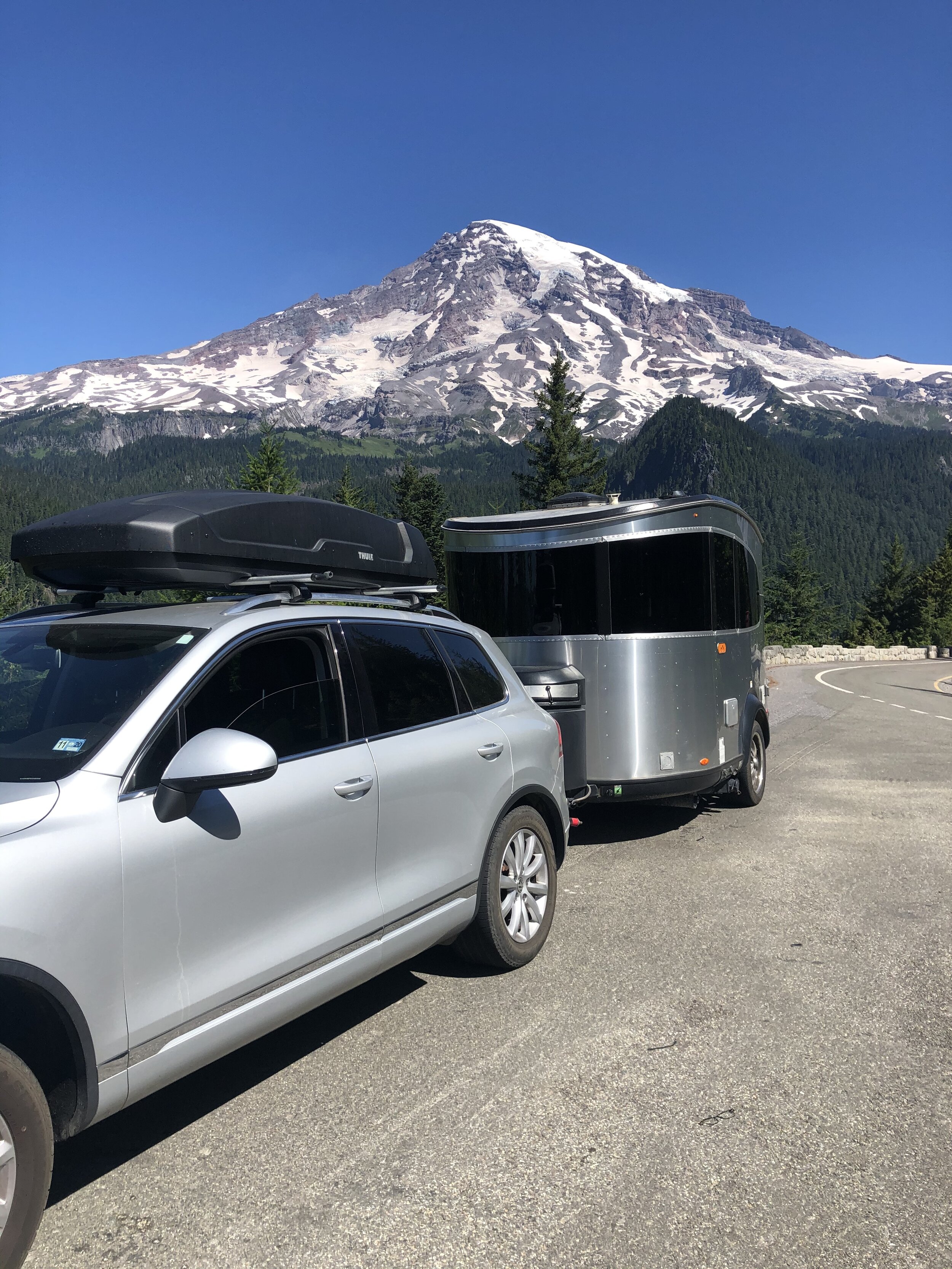
Mount Rainier was the second of three national parks in Washington that we visited. After our ever-so-eventful experience at Olympic, I decided to drive Rainier and not worry about seeking out hikes. Numerous stressors were/are in the air: Addie's health, lack of mobile service, trouble finding campsites, and a fussy water heater in the Airstream. I didn't need one more thing to worry about, which was navigating Rainier's hiking situation (specifically with Addie, who is not allowed on trails).

Camping options around Mount Rainier were scarce. All the park campgrounds were reserved, and the only first-come, first-serve camping choice is tent-only. One of the most troubling factors was the lack of mobile service as I got into the area. I rely on apps to find camping, but obviously, apps are useless with no signal.

I spent a while driving to a few places I researched but couldn’t locate. I then had to go back into a service area to look up other options. Around dusk, I spotted some RVs through some trees off the main road. I turned around and took the first turn into the woods. This was lucky. It was a dispersed camping area that was annoyingly busy, but I could back into a spot between trees that worked - at least for one night. I would get up the next morning to find a more suitable place.

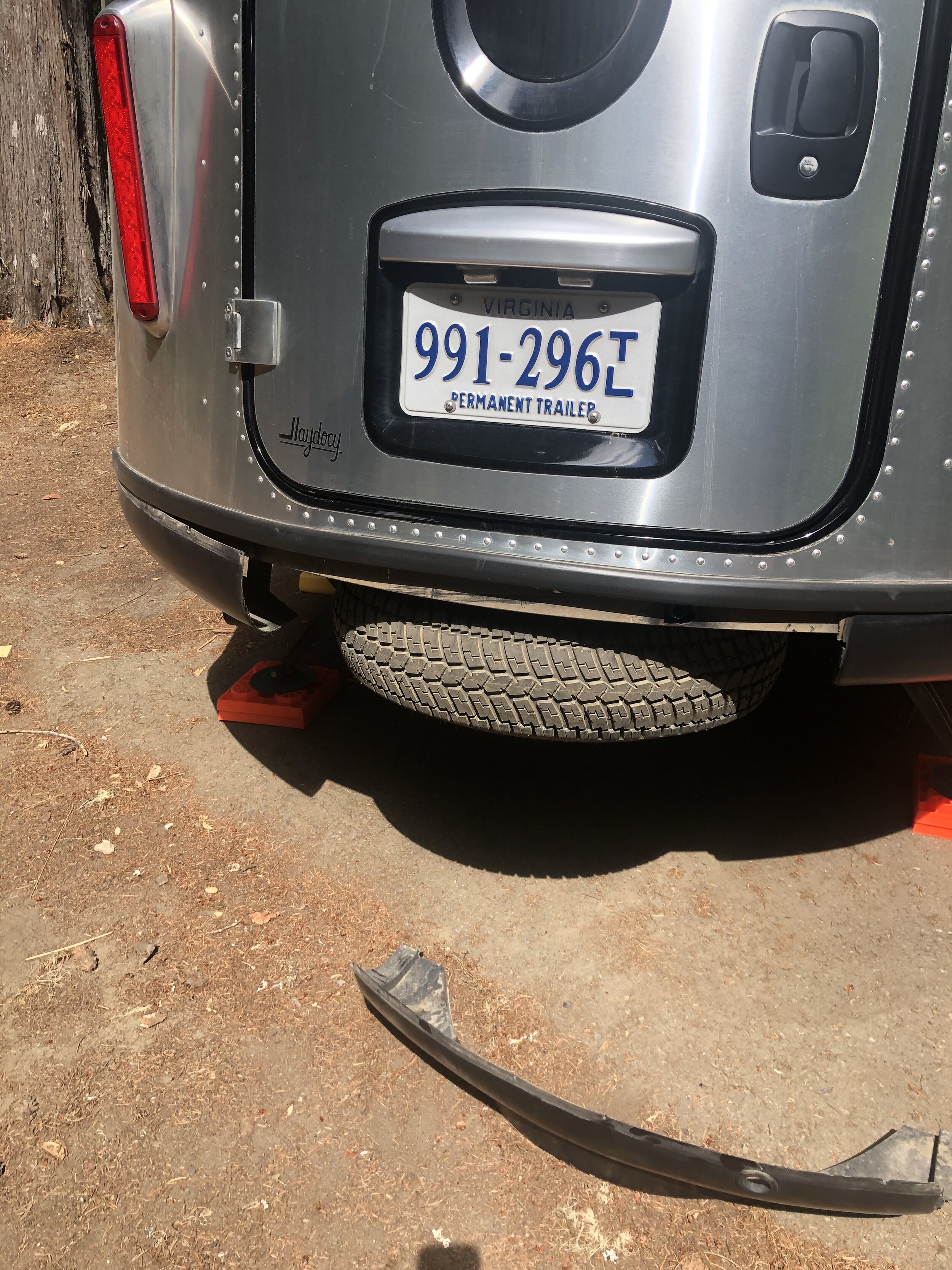
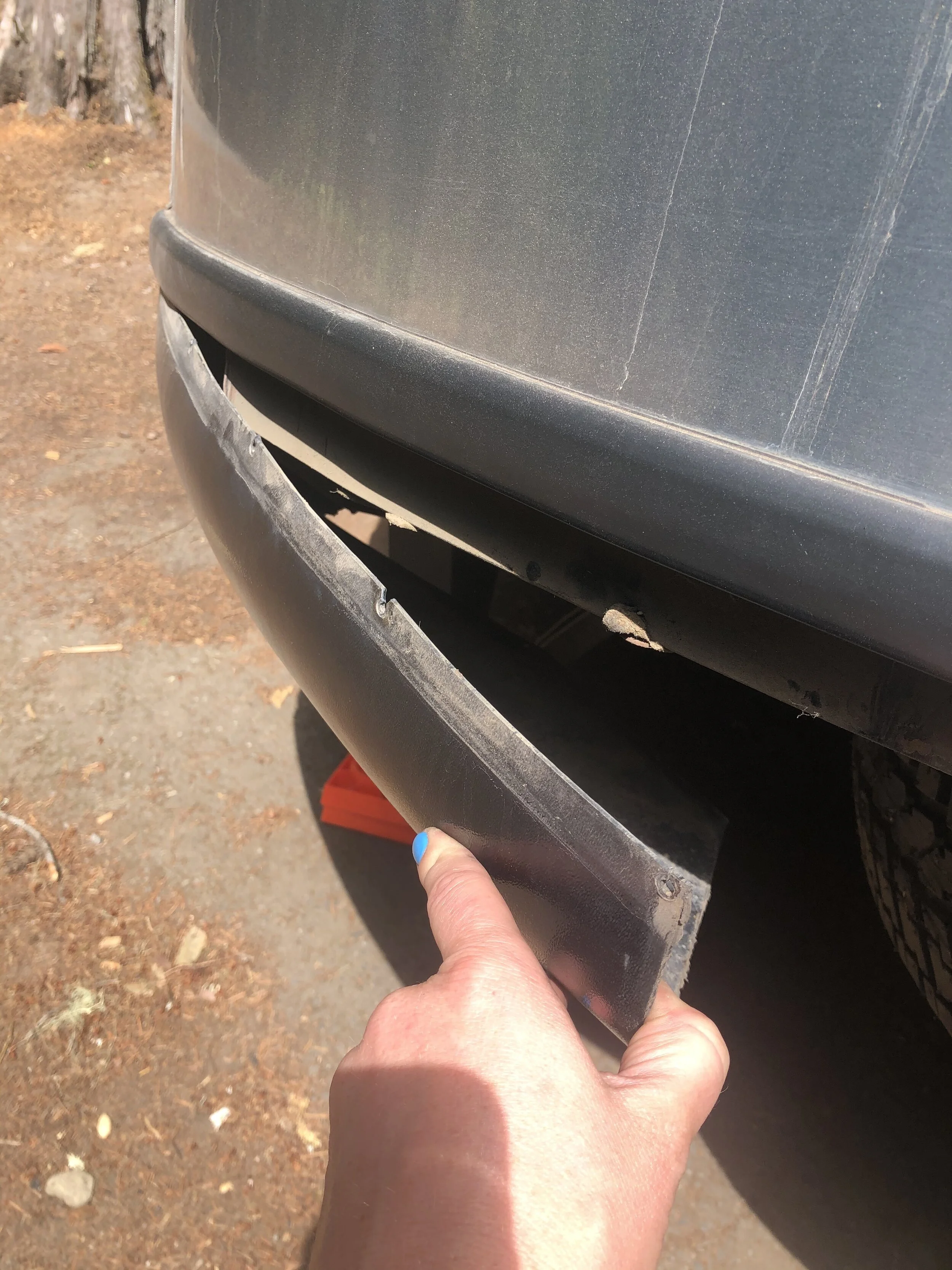
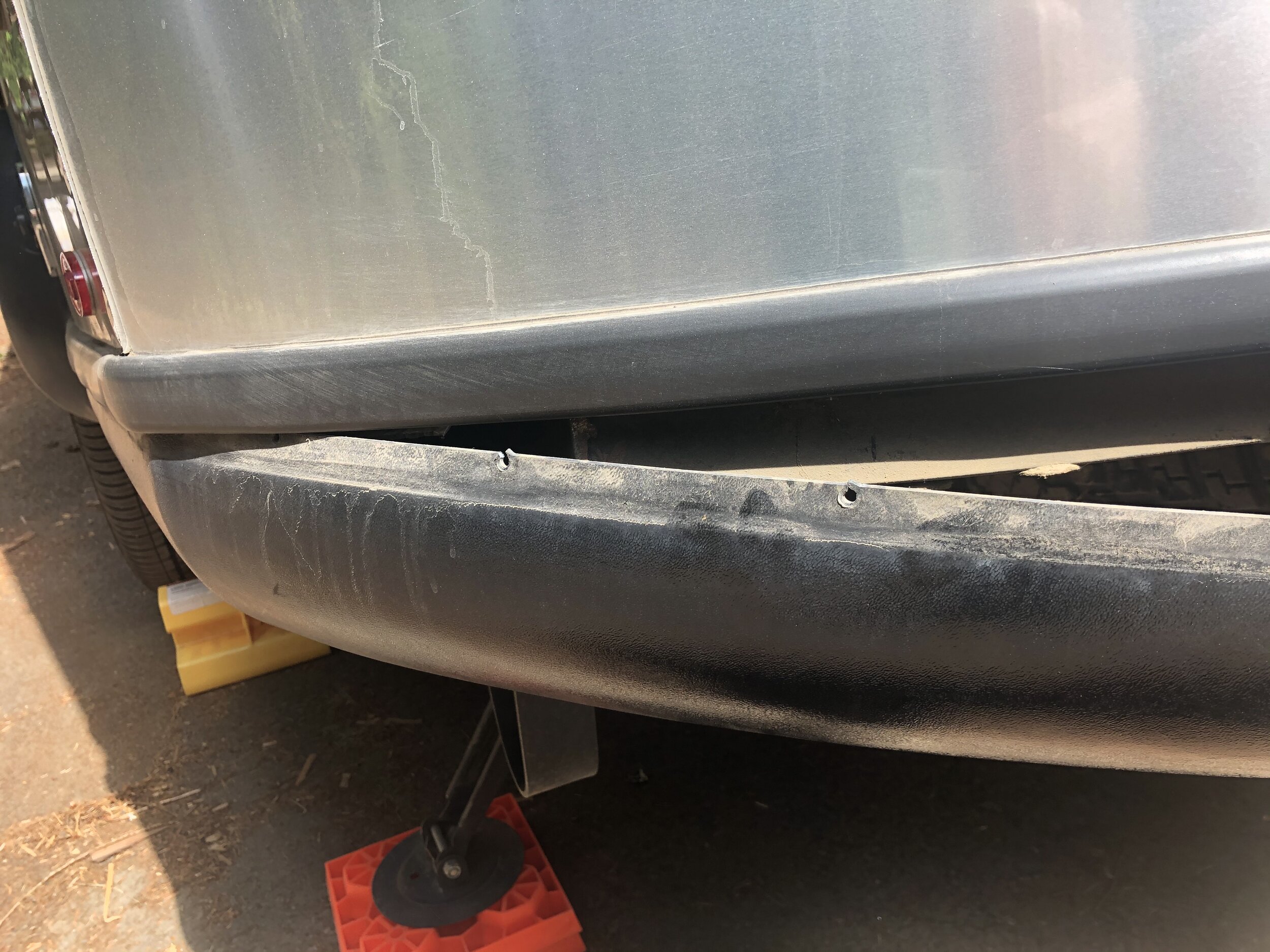
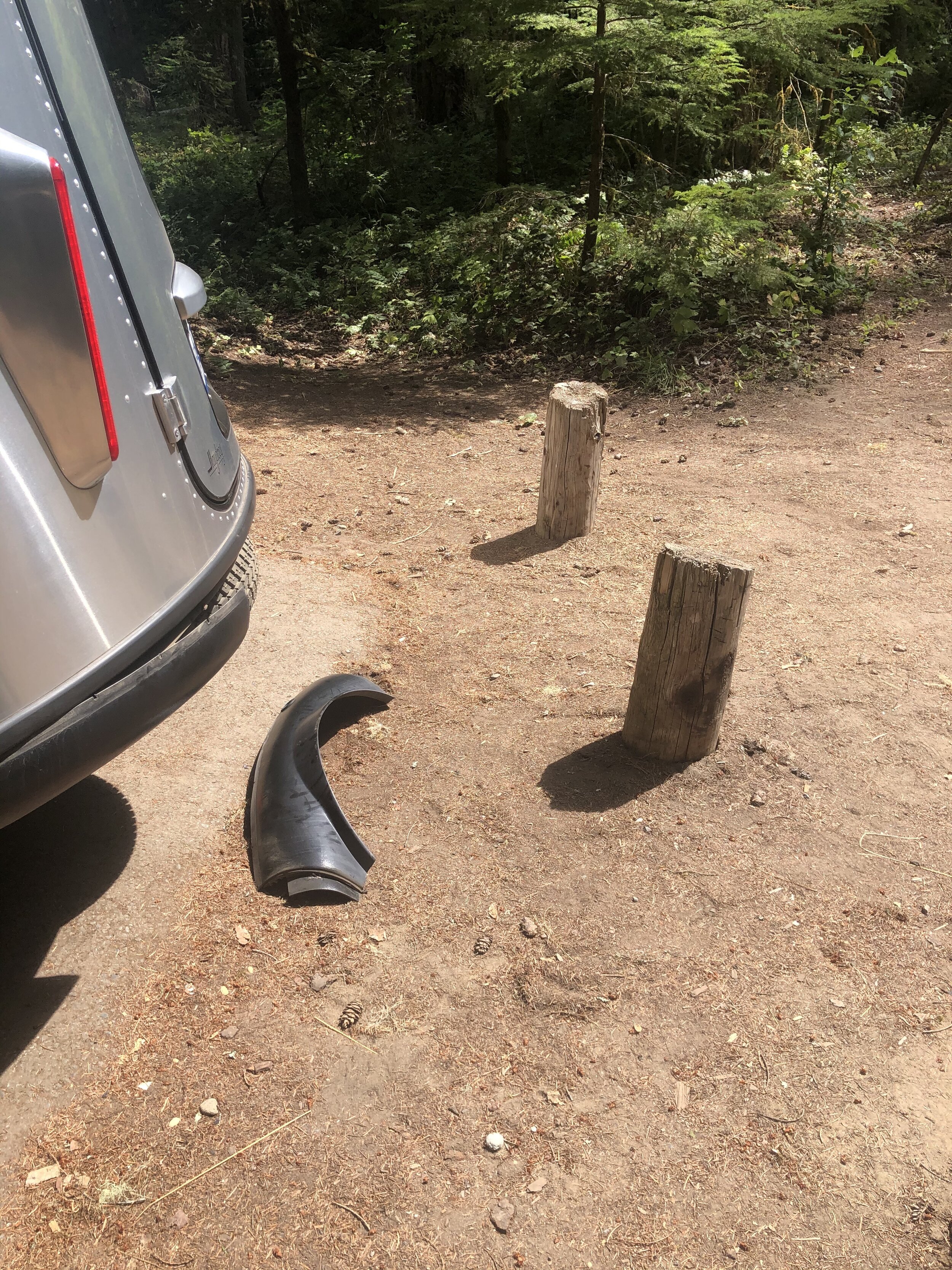
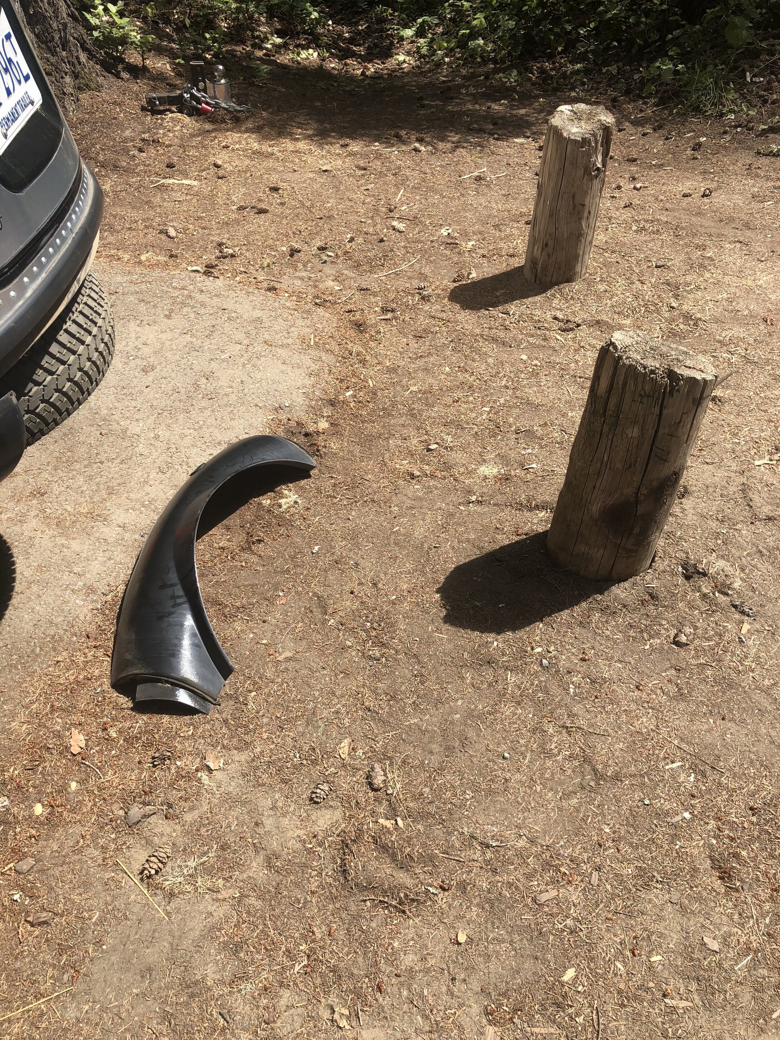
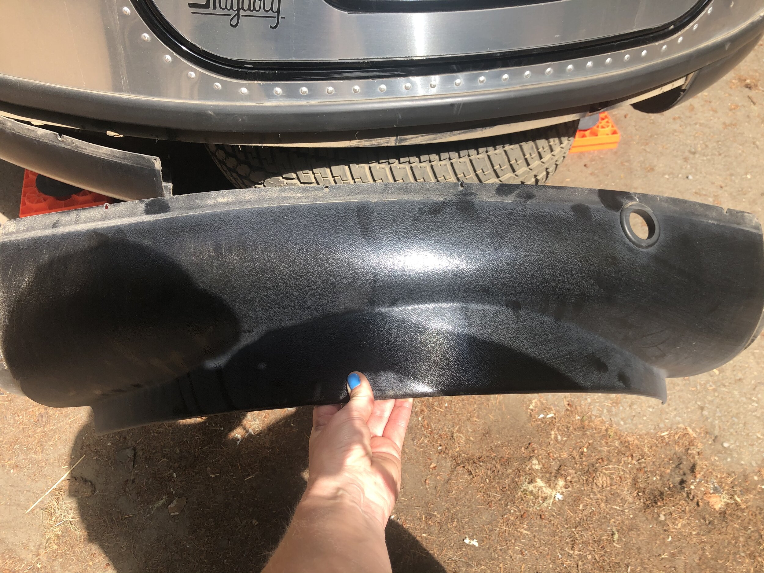
My stress level curbed some when I landed at La Wis Wis National Forest Campground. However, my stress level inflated again when I backed the Airstream into a post while settling into a spot. Not only did I back it up over the post, but also when I pulled forward trying to get it off (it was a short post just at the height of the bumper), a section of the bumper wholly detached. Awesome.

IMG_6752.jpg
IMG_2089.jpg
IMG_2090.jpg
IMG_4274.jpg
IMG_6311.jpg
IMG_6963.jpg

I was laughing at this point. This little mishap was nothing unfixable. I used duct tape to reattach what I could, and I went on with my day. We hiked around the campground area a little and hung out by the river.

IMG_6468.jpg

After grieving the loss of the Airstream’s back bumper, Addie and I made our way to Mount Rainier National Park in the afternoon. Like many other national parks, there are multiple entrances.

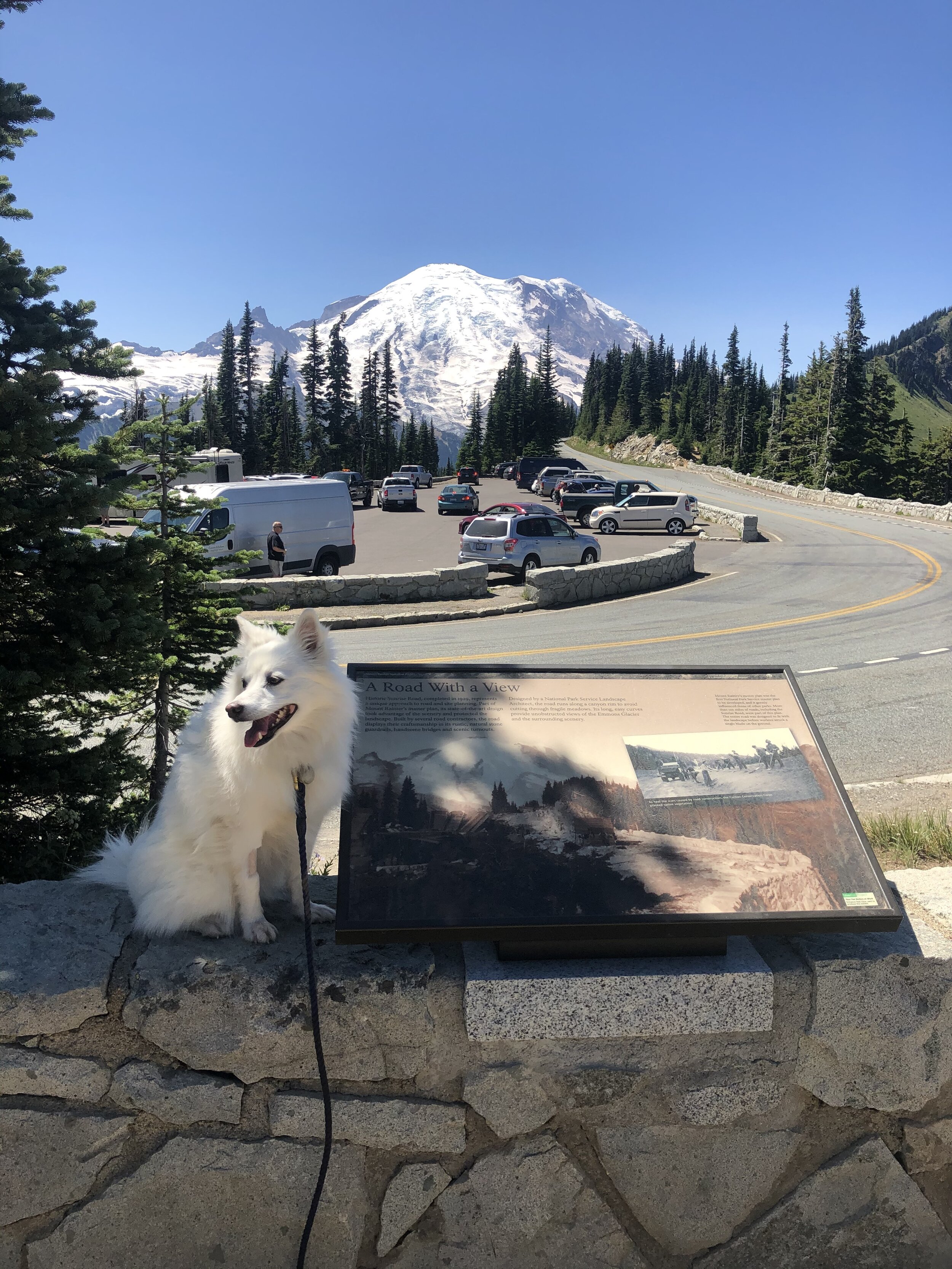
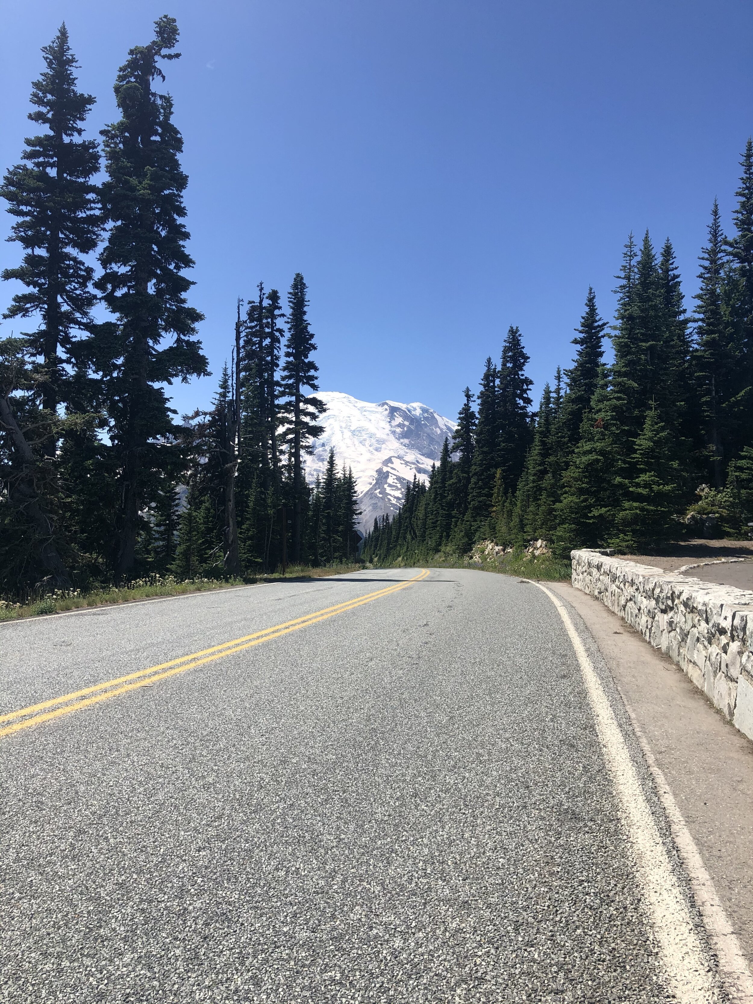
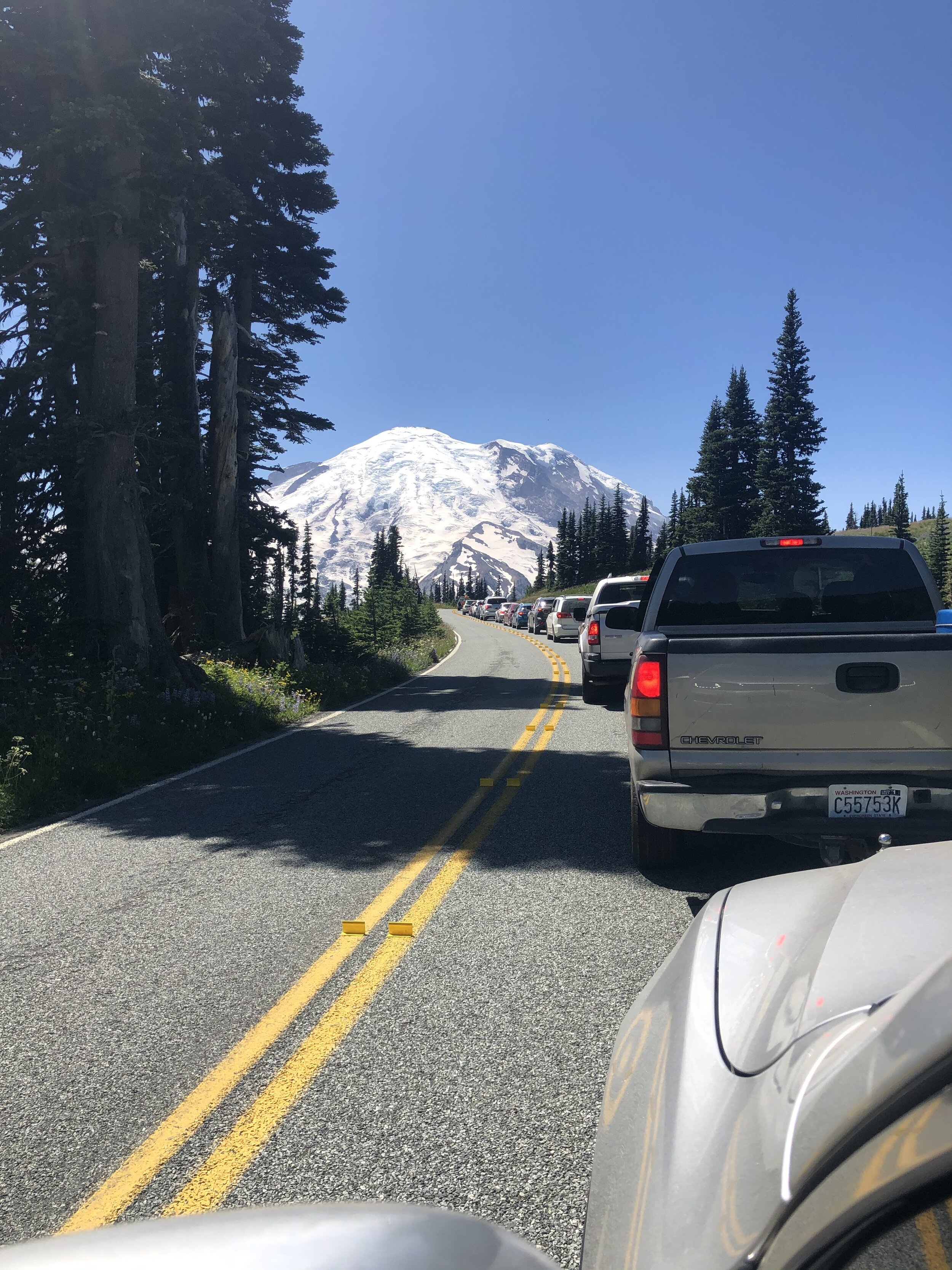
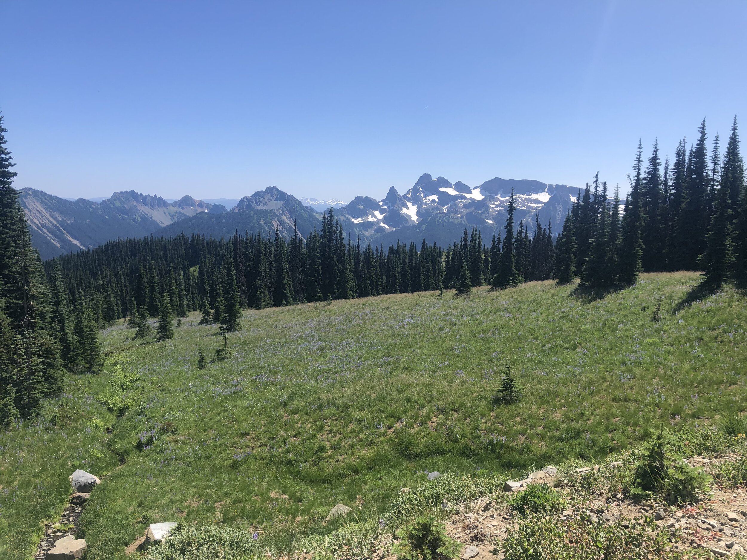
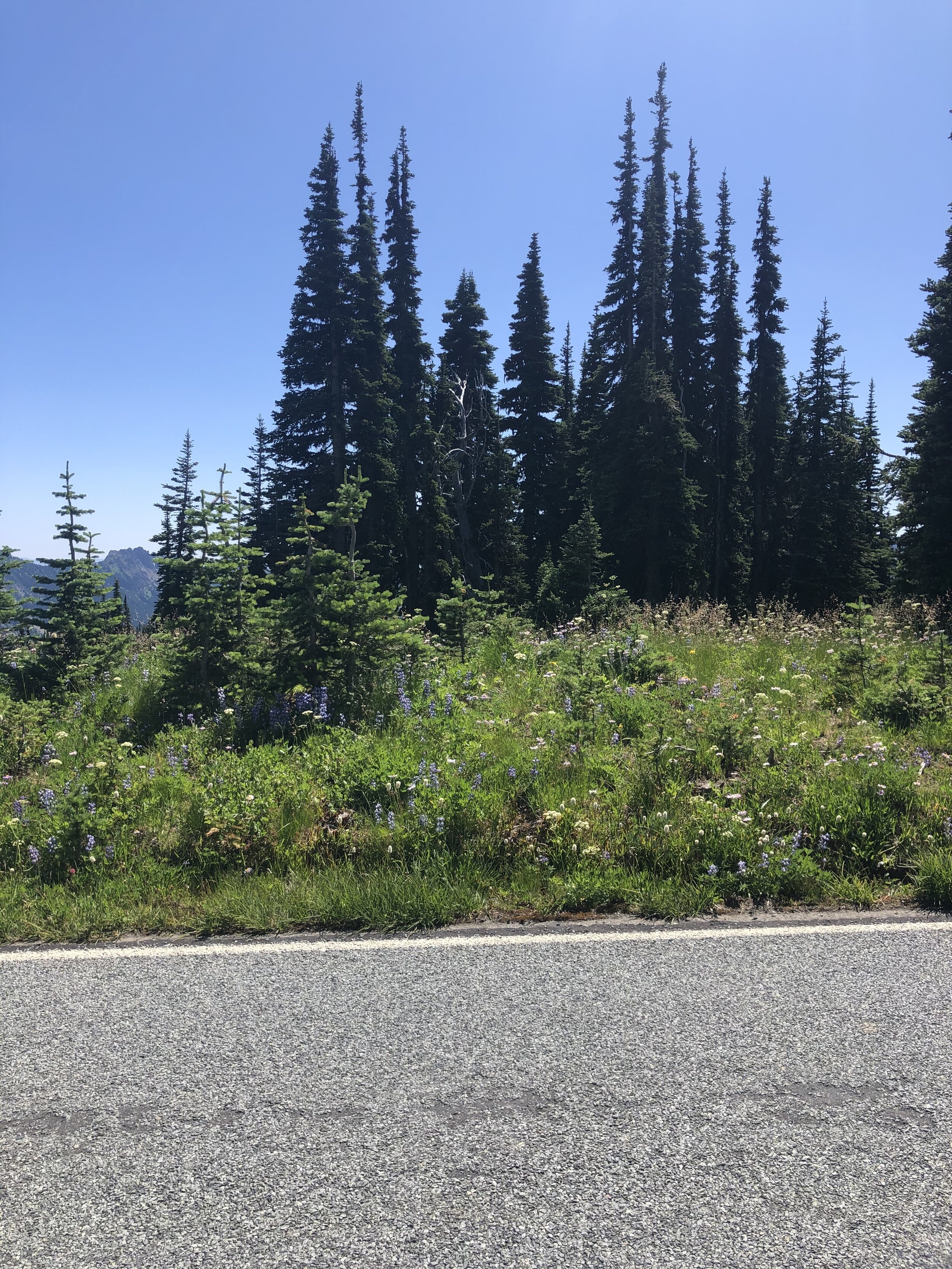
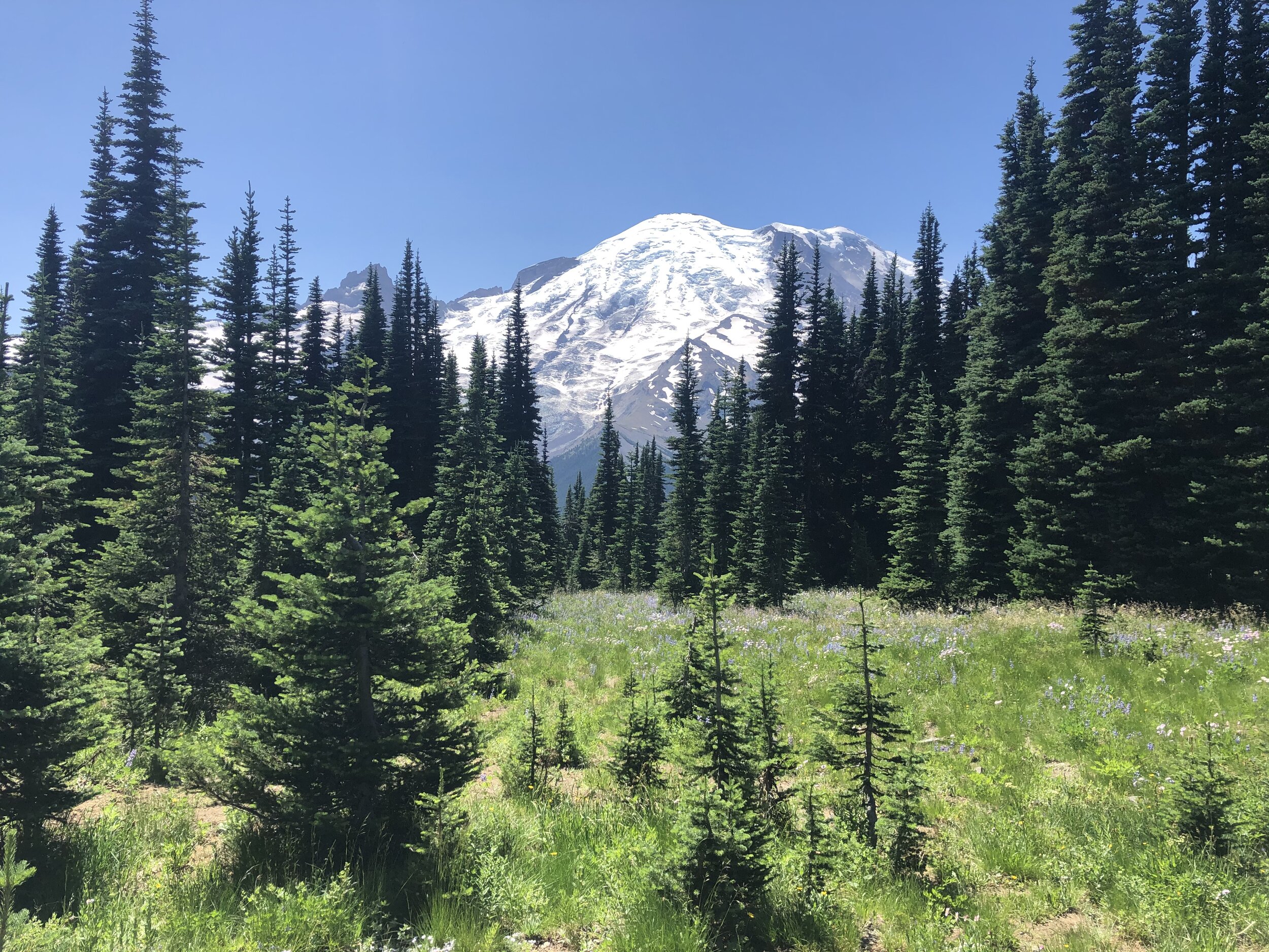
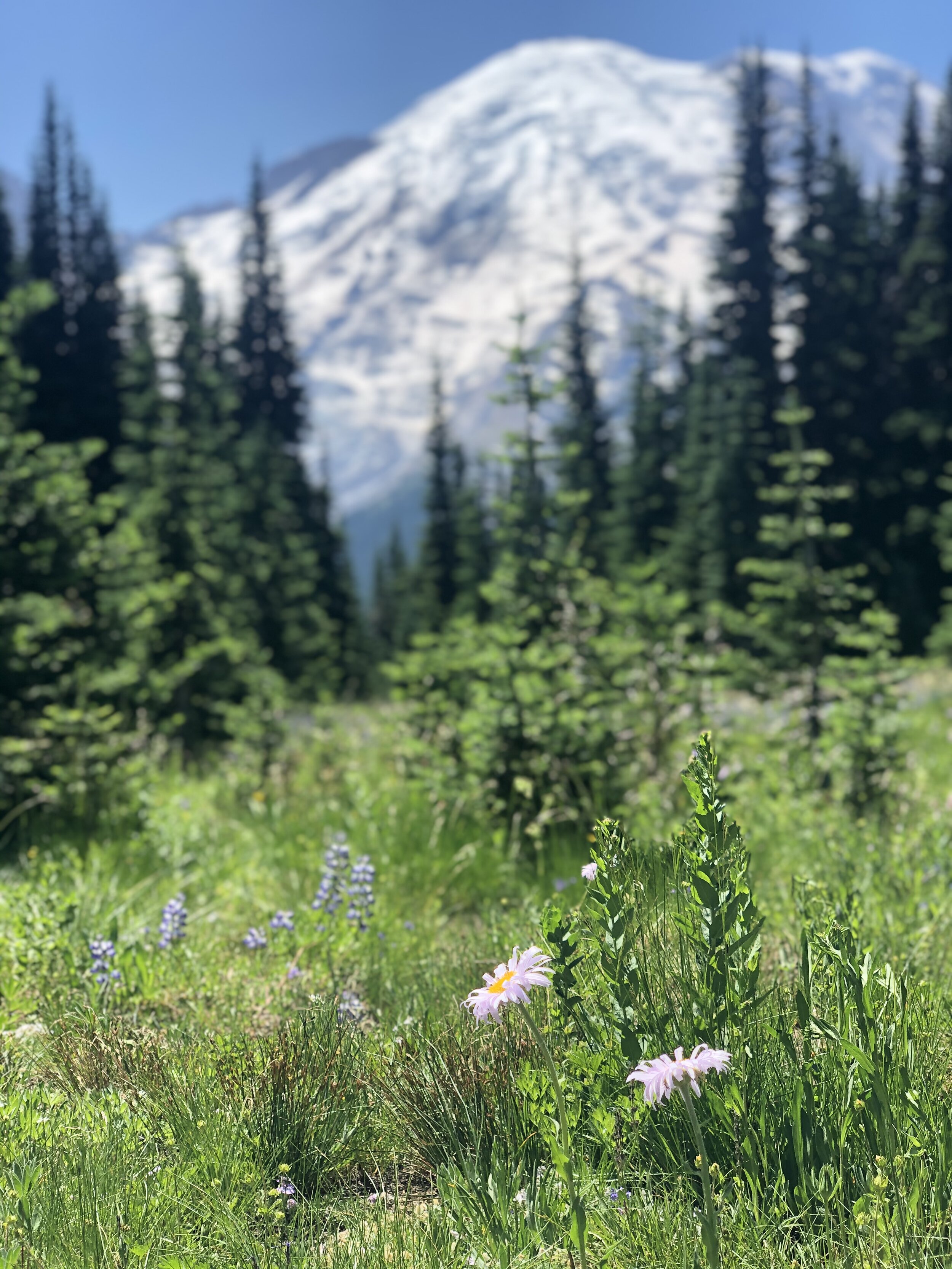
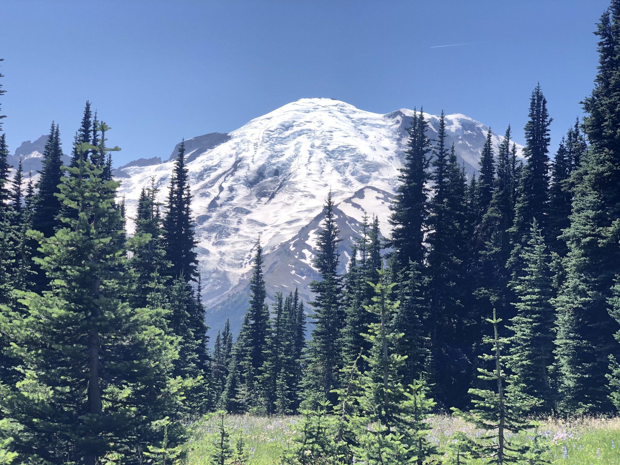
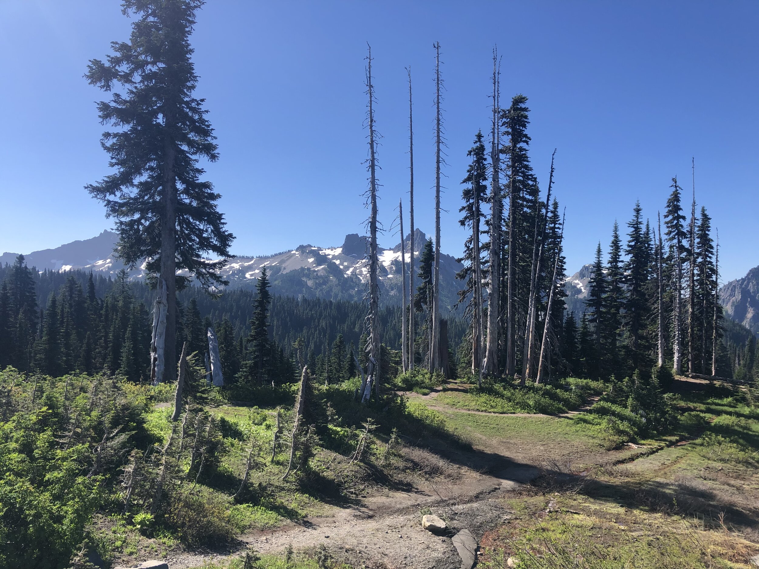
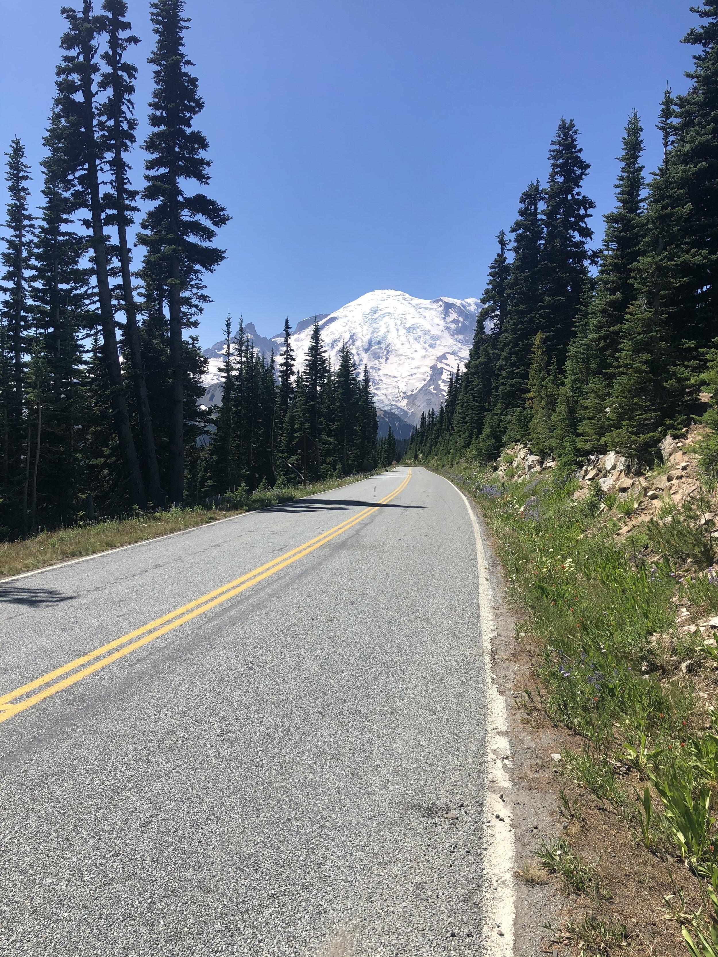
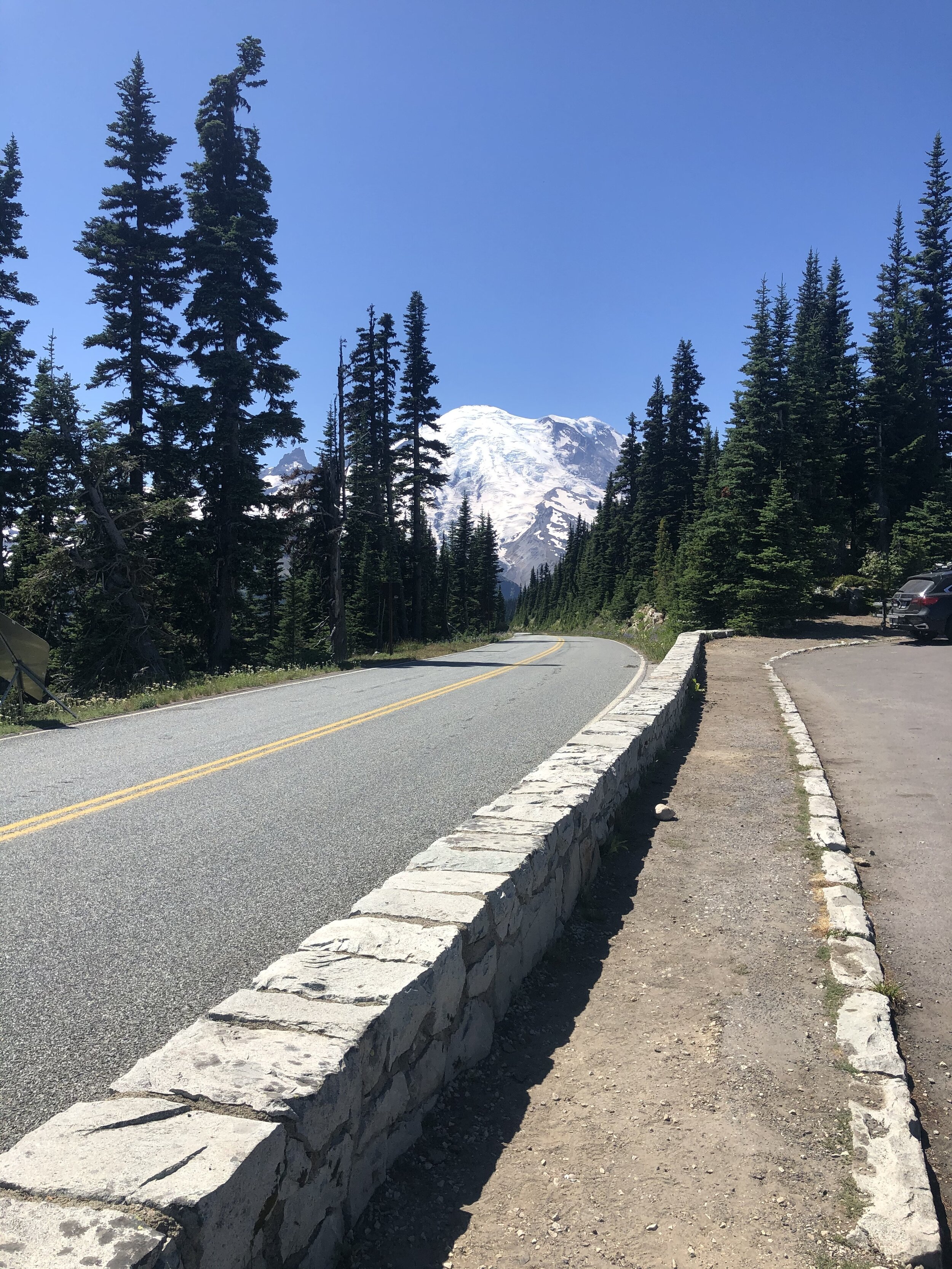
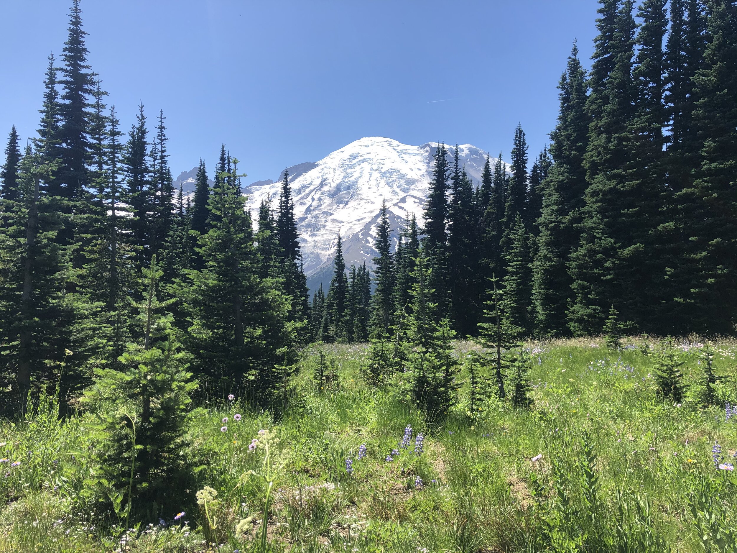
I knew I wanted to get to the Sunrise section, which at the peak, is the highest point reachable by vehicle within the park. The road getting up to Sunrise, Sunrise Park Road, is only accessible in the warmer months, and as you drive up, you can’t resist pulling over at multiple points to take in the views.
IMG_3815.jpg
IMG_4974.jpg
IMG_5041.jpg
IMG_9212.jpg
IMG_0092.jpg
IMG_2805.jpg
IMG_6306.jpg
IMG_7856.jpg
IMG_7906.jpg
IMG_3815.jpg IMG_4974.jpg IMG_5041.jpg IMG_9212.jpg IMG_0092.jpg IMG_2805.jpg IMG_6306.jpg IMG_7856.jpg IMG_7906.jpg

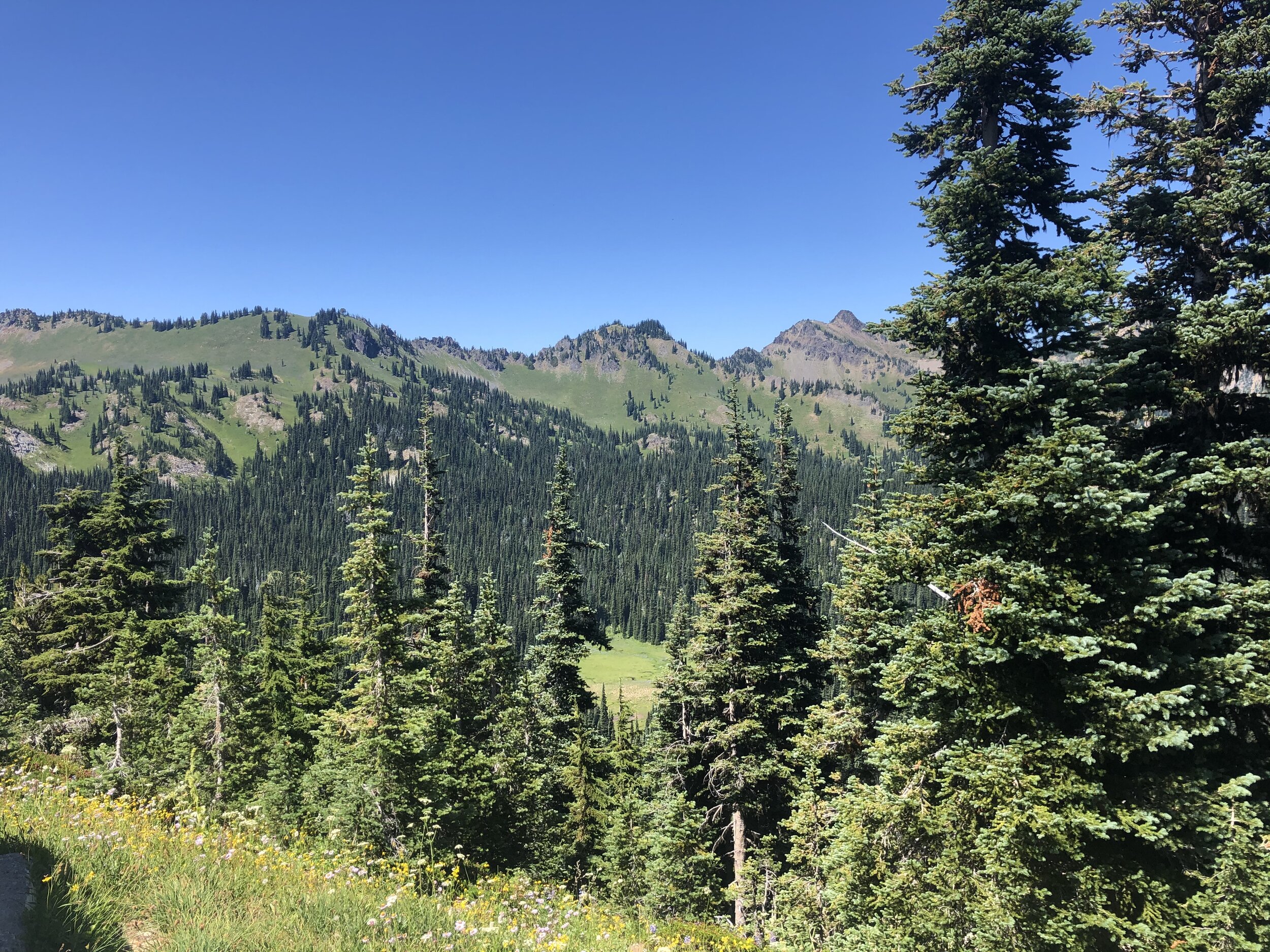
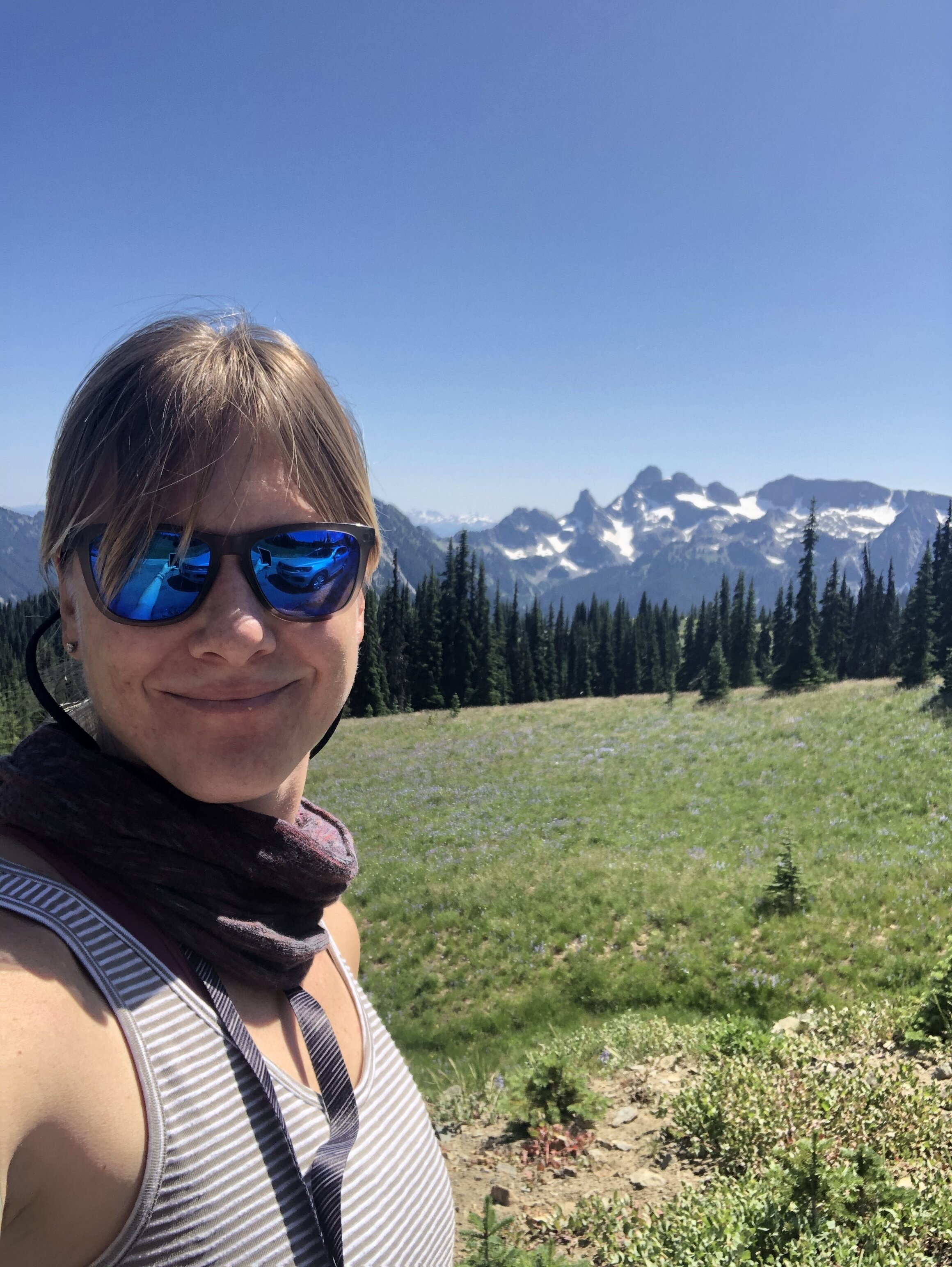
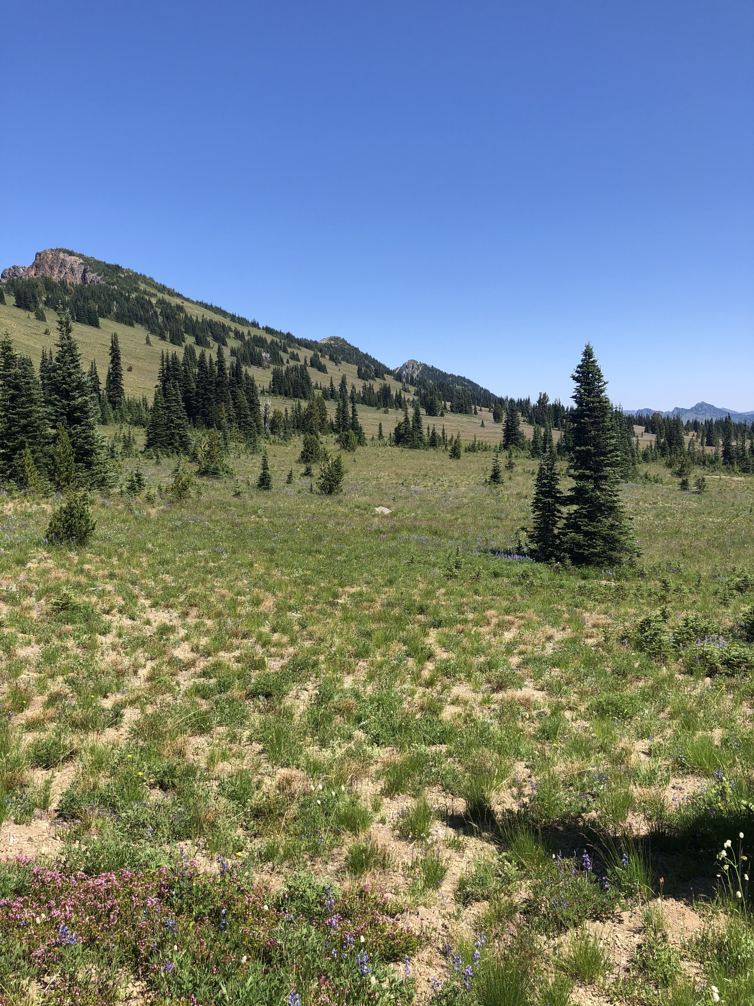
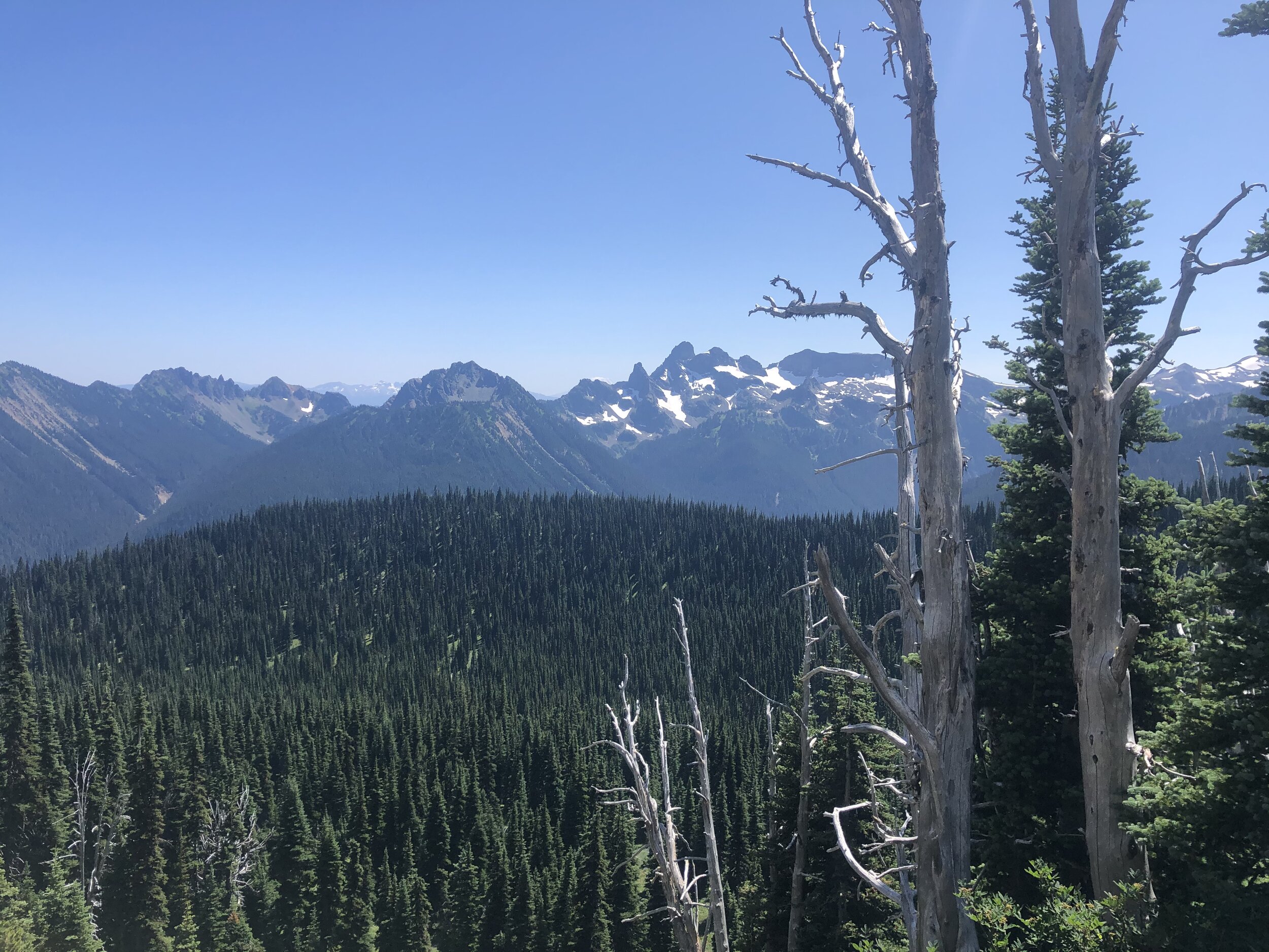
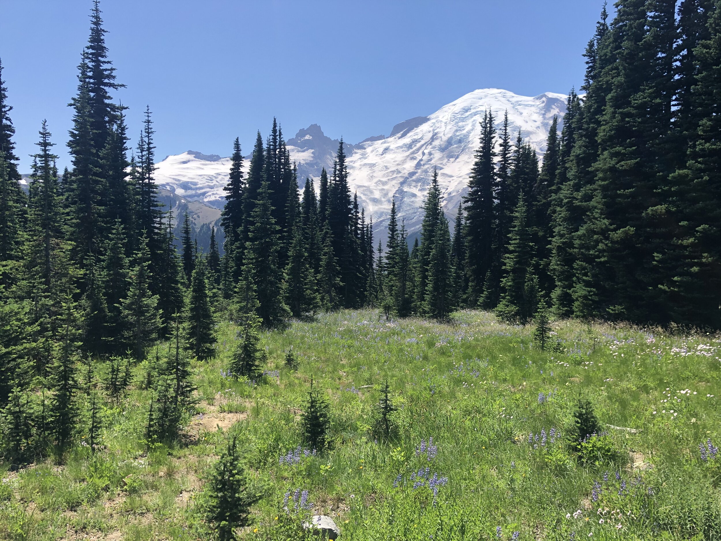
The scenery from the top took my breath away. In my opinion, I was there at the best time of year, and the weather that day couldn’t have been any more perfect. Addie and I got some much-needed solitude up there, proving to us that you don’t always need to hike a park to get a lot out of it.
IMG_2911.jpg
IMG_2343.jpg
IMG_5169.jpg
IMG_8043.jpg
IMG_9921.jpg
IMG_9922.jpg
IMG_2911.jpg IMG_2343.jpg IMG_5169.jpg IMG_8043.jpg IMG_9921.jpg IMG_9922.jpg

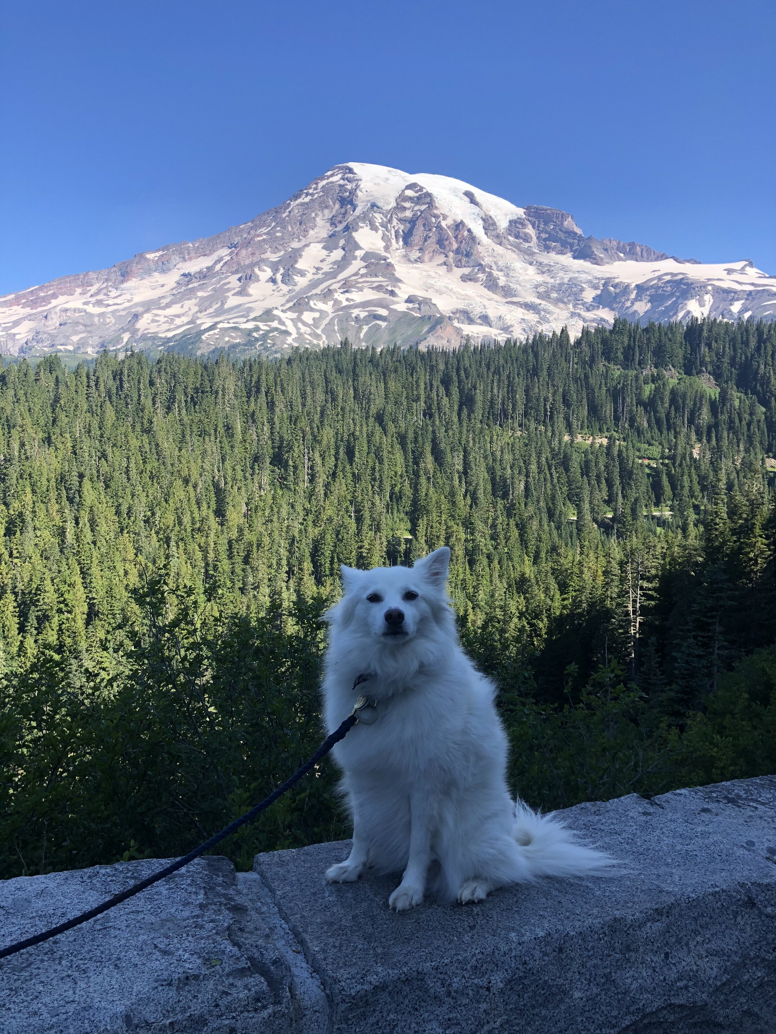
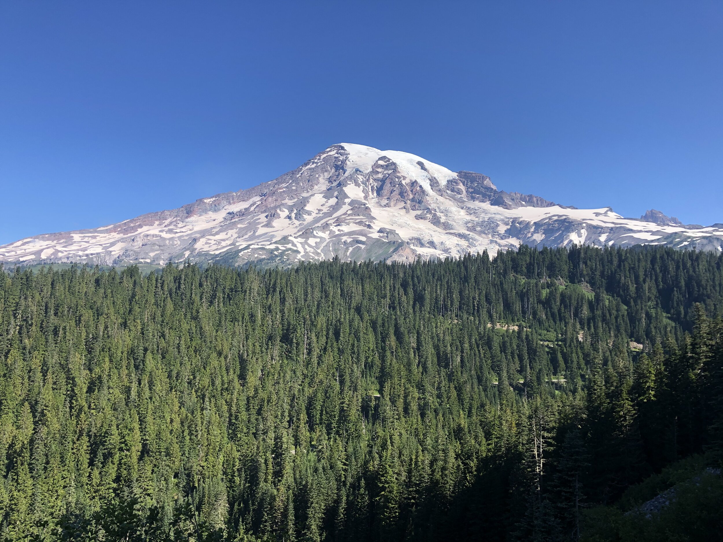
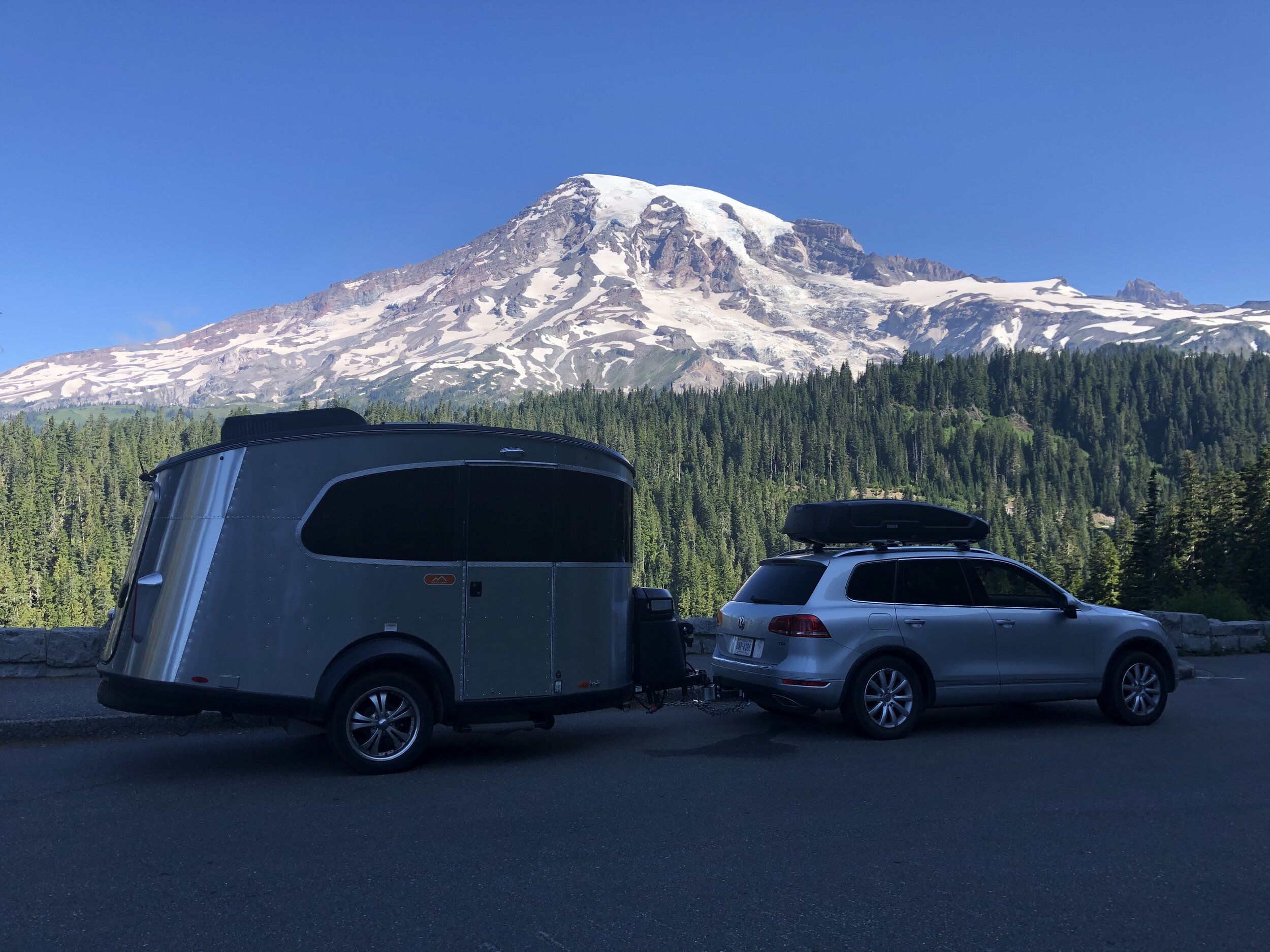
After a second night at La Wis Wis Campground, the next stop was to the park's Paradise section. The different areas provide various views of Mount Rainier. It's such a beautiful sight, though, so it never gets old.
IMG_0626.jpg
IMG_1215.jpg
IMG_3736.jpg
IMG_5424.jpg
IMG_5617.jpg
IMG_9030.jpg
IMG_0626.jpg IMG_1215.jpg IMG_3736.jpg IMG_5424.jpg IMG_5617.jpg IMG_9030.jpg

At this time, not only did we have external issues with the Airstream (missing bumper), but we also had internal problems. My Truma water heater continued acting up. Sometimes it would work, and other times it wouldn’t. Since I had been dry camping for weeks by now, my next camping spot would need to have electrical hookups so I could troubleshoot.

Onward and upward towards Seattle, then to North Cascades National Park. In the back of my mind, I knew of the Airstream dealership in Seattle, so if I needed to, I could potentially get some help with the Truma there. I also needed to figure out how to fix the bumper. 

Homeownership (eye roll)...

August 15, 2020 /Sarah Williams
Mount Rainier, dispersed camping, la wis wis campground, washington, national parks, Truma, Airstream, scenery, mountains
National Parks
IMG_6055.jpg

#35: On to Oregon (& Crater Lake National Park)

August 01, 2020 by Sarah Williams in National Parks

As sad as I was to be leaving California, I was delighted with what we did and saw while there. After quality time with friends and their families, new places explored, and visits to nine(!) national parks, it was time to make our way up to Oregon, the Beaver State.

I had never been to Oregon, so it was new territory. Although Crater Lake is the only national park in this state, I wanted to see plenty of things, including Bend, the coastal dunes, Portland, Cannon Beach, and Mount Hood.

I decided that my best course of action was to first head inland to Crater Lake National Park. At this point, I was getting pretty comfortable with dispersed camping (dry camping in non-designated camping areas). I had started enjoying the challenge of trying to find a decent, free place to stay. I had scoped out some places before getting to the Crater Lake area, but they seemed a little sketchy when I got to them. I then tried a state park in the area, but it was completely booked. It was getting late in the day, and I needed to find a place to stay before the sun went down. Yikes.

Besides using camping apps, another tried and true method of finding dispersed camping is to drive down forest roads and scope things out. It gets tricky, though: usually, mobile service is limited, and you never know what condition the roads will be in or if you’ll be able to turn around with a trailer. It’s a little nerve-wracking, but you remain calm.

As I was exploring one forest road, a car pulling a small teardrop trailer approached from the opposite direction. I flagged it down to ask if they knew of any dispersed camping in this area. Luckily, they did, and they were leaving one of them. They gave me vague directions (there are no street signs or prominent landmarks, so “turn right on the dirt road ‘up a-ways,’ then bear left and then right again when the road forks” is always pretty ambiguous). I thanked them and drove on, looking closely for a path that somewhat resembled what I had been told.

I ended up finding one of the best dispersed camping spots I ever had. It was right along a river, surrounded by only a few other campers - which I prefer (instead of being utterly alone in the woods). The only negative was no cell service. Oh well. That forces me to read a book. Unfortunately, I neglected to take any photos of my camping site.

The next morning, Addie and I packed up and headed to Crater Lake. We weren’t going to do any intense hiking from the research I had done, so we didn’t need to prepare for that. We planned to drive around the lake, taking in the views from multiple locations. I followed a tip I had received: explore the east side of the lake in the morning hours and the west side of the lake in the afternoon hours to get the best lighting in photos. I was thankful for that tip!

Screen Shot 2020-12-26 at 11.19.12 AM.png

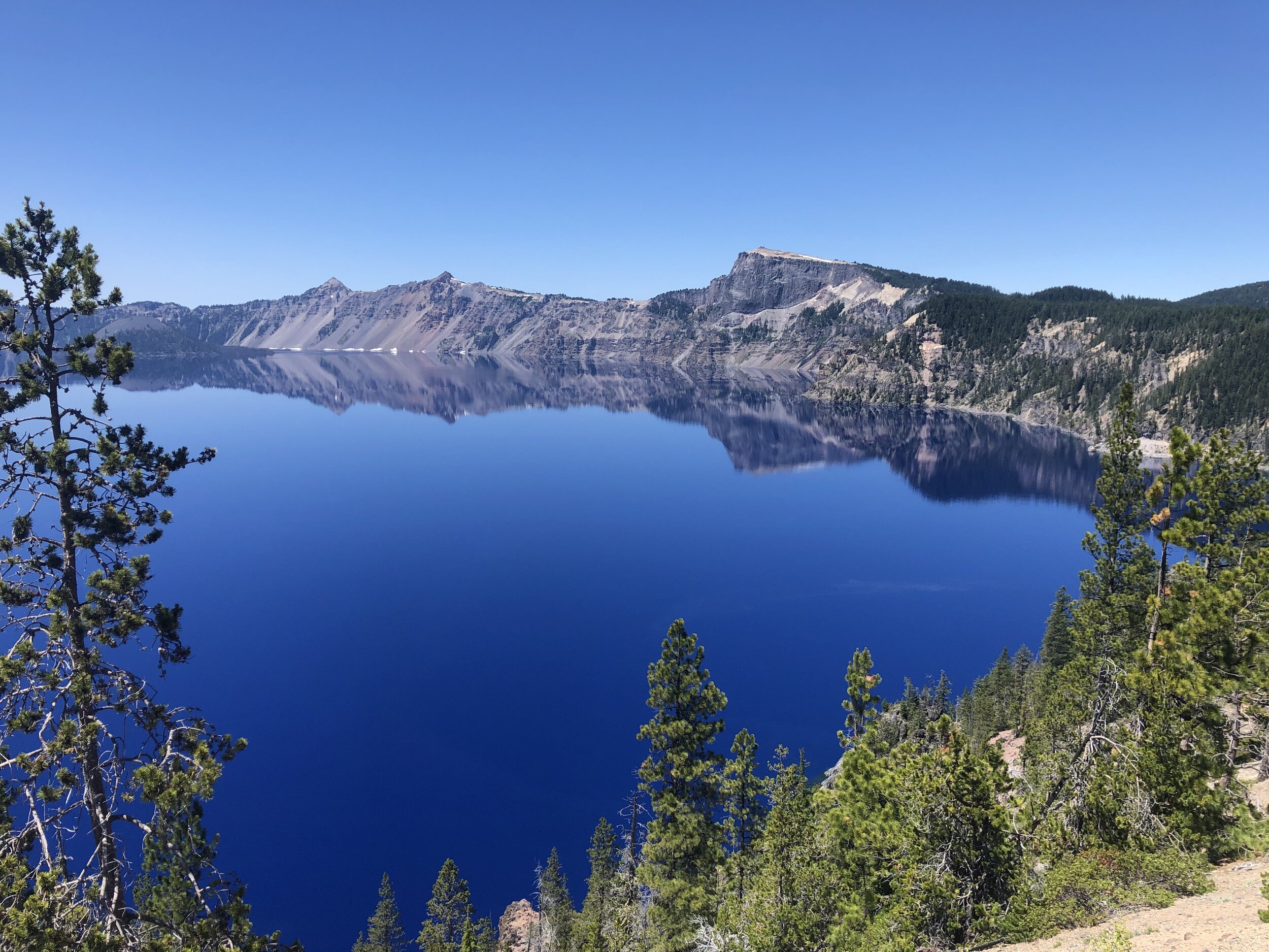
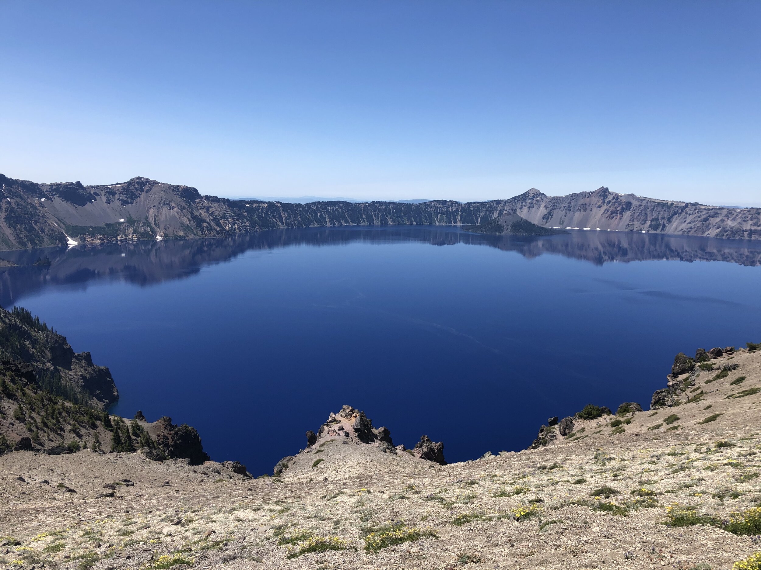
We entered the park at the North Entrance. My first view of the lake from Merriam Point was breathtaking.

IMG_2053.jpg

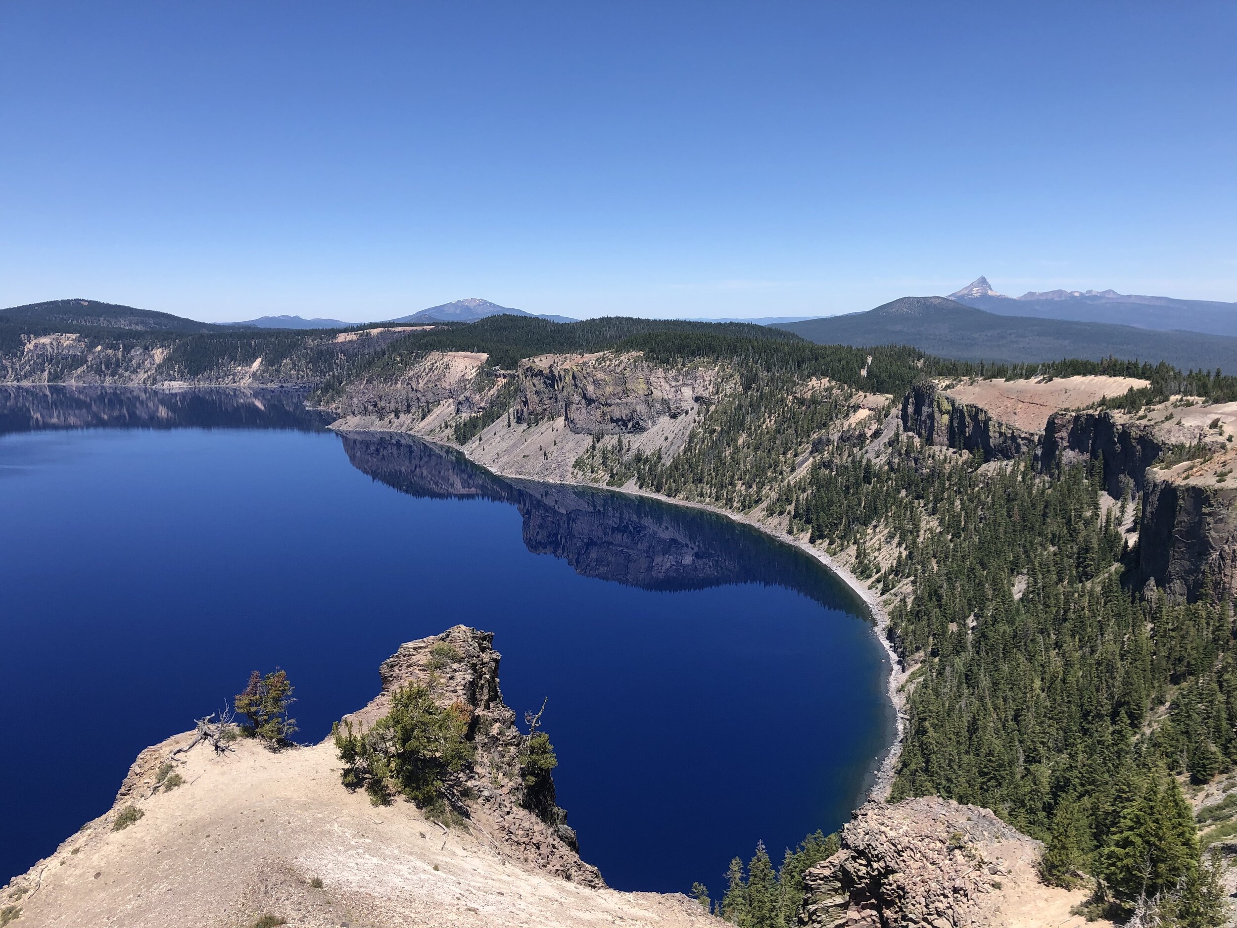
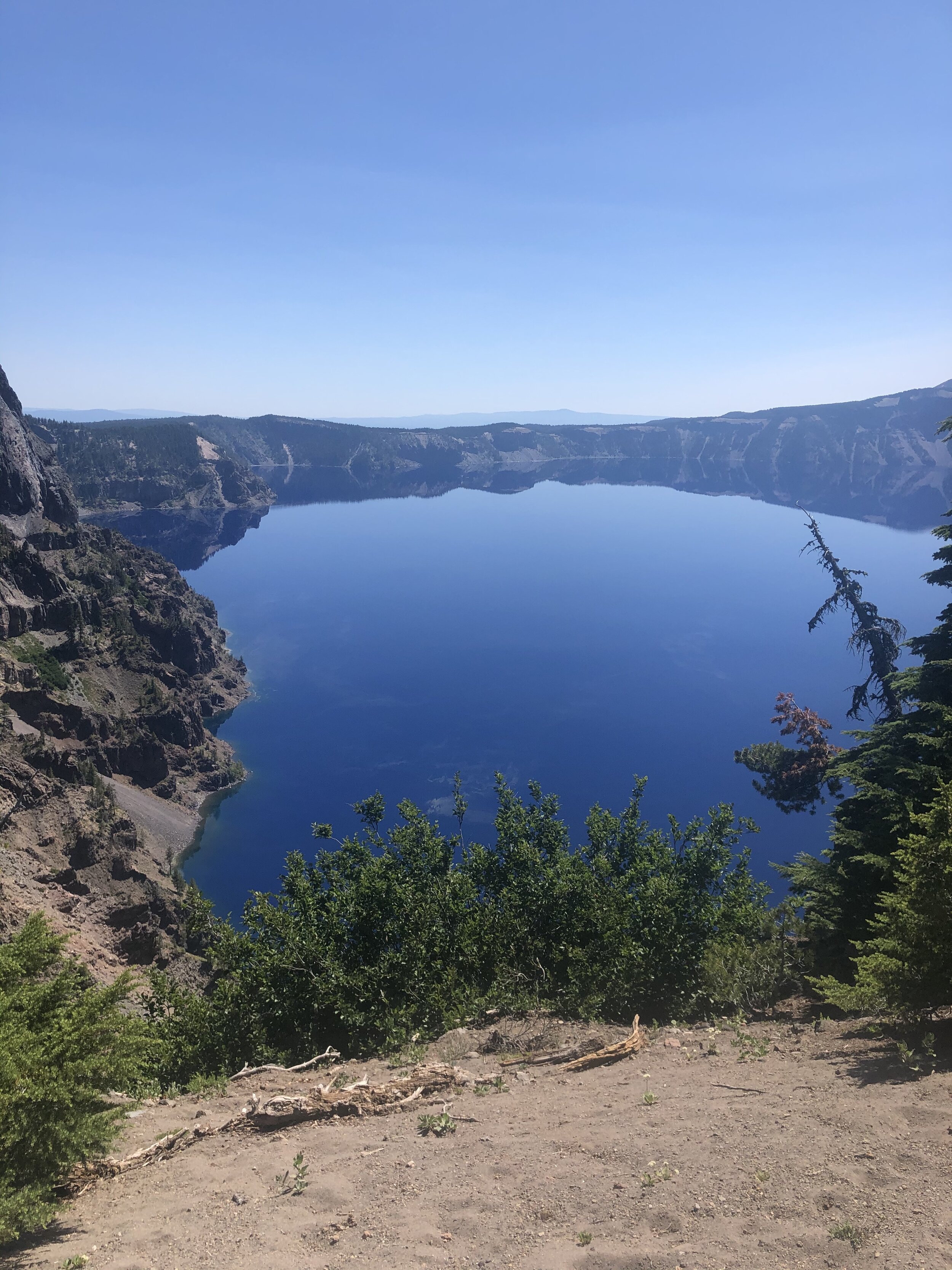
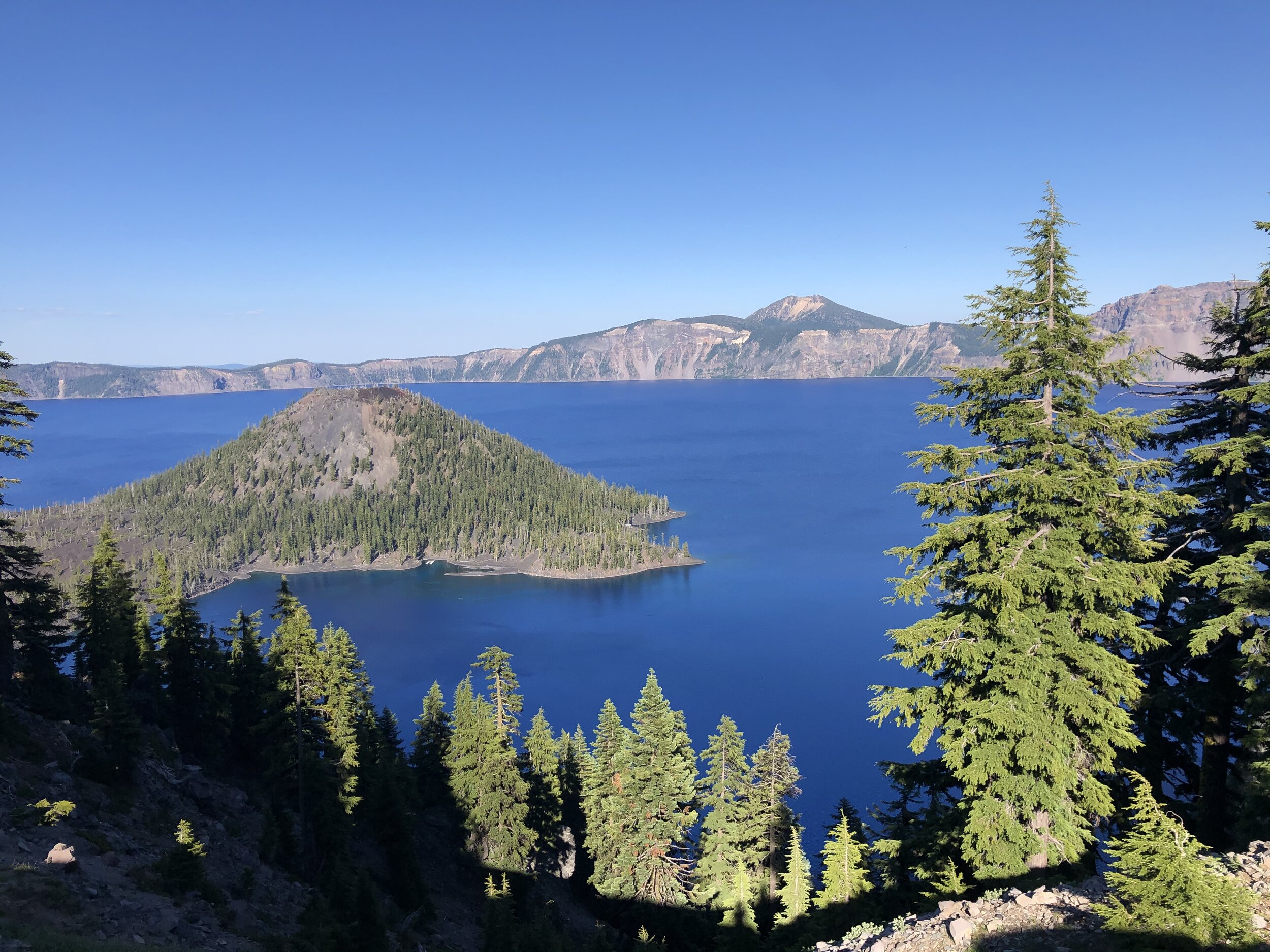
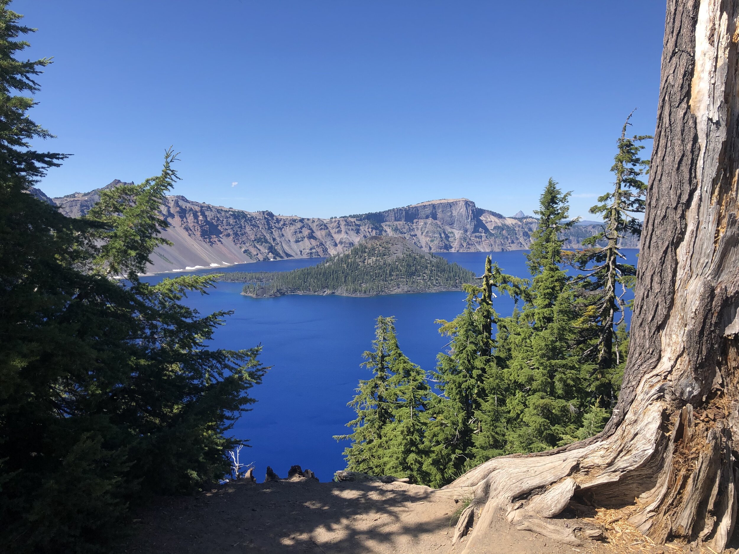
We drove east, stopping wherever it seemed like a good view - which was anywhere we stopped.

IMG_4442.jpg
IMG_0028.jpg
IMG_0557.jpg
IMG_2191.jpg
IMG_1763.jpg
IMG_3494.jpg
IMG_2532.jpg
IMG_4293.jpg
IMG_5092.jpg
IMG_5827.jpg
IMG_5859 2.jpg
IMG_9093.jpg
IMG_9258.jpg
IMG_4442.jpg IMG_0028.jpg IMG_0557.jpg IMG_2191.jpg IMG_1763.jpg IMG_3494.jpg IMG_2532.jpg IMG_4293.jpg IMG_5092.jpg IMG_5827.jpg IMG_5859 2.jpg IMG_9093.jpg IMG_9258.jpg

There is a section separate from the lake called The Pinnacles in the southeast area of the park. I made the drive over there to check it out.

IMG_6503.jpg
IMG_6399.jpg
IMG_1155.jpg

The day was gorgeous, and the views were spectacular. It took us a full day to drive around the lake while taking our time. What a fulfilling day we had at Crater Lake National Park.

IMG_1324.jpg
IMG_1476.jpg
IMG_2175.jpg
IMG_3145.jpg
IMG_3231.jpg
IMG_3401.jpg
IMG_3657.jpg
IMG_5924.jpg
IMG_8155.jpg
IMG_1324.jpg IMG_1476.jpg IMG_2175.jpg IMG_3145.jpg IMG_3231.jpg IMG_3401.jpg IMG_3657.jpg IMG_5924.jpg IMG_8155.jpg
August 01, 2020 /Sarah Williams
crater lake national park, crater lake, oregon, national parks
National Parks
Comment
IMG_0063+2.jpg

#29: Monterey and Sequoia & Kings Canyon National Parks

July 09, 2020 by Sarah Williams in Along the Way, National Parks

Before taking the weekend to camp and visit Sequoia and Kings Canyon National parks, I spent about a week with my friends Chris and Allison and their family in Sunnyvale, CA. Chris and I met in business school (pretty much day 1) in Ohio, but he now has a killer job at Google. I may have mentioned this before, but getting the chance to spend time with my friends and their kids is remarkable. I got the opportunity to fold into their lives, spend some QT with Allison, and get to know their children. And the kids LOVE Addie, so it was a win-win.

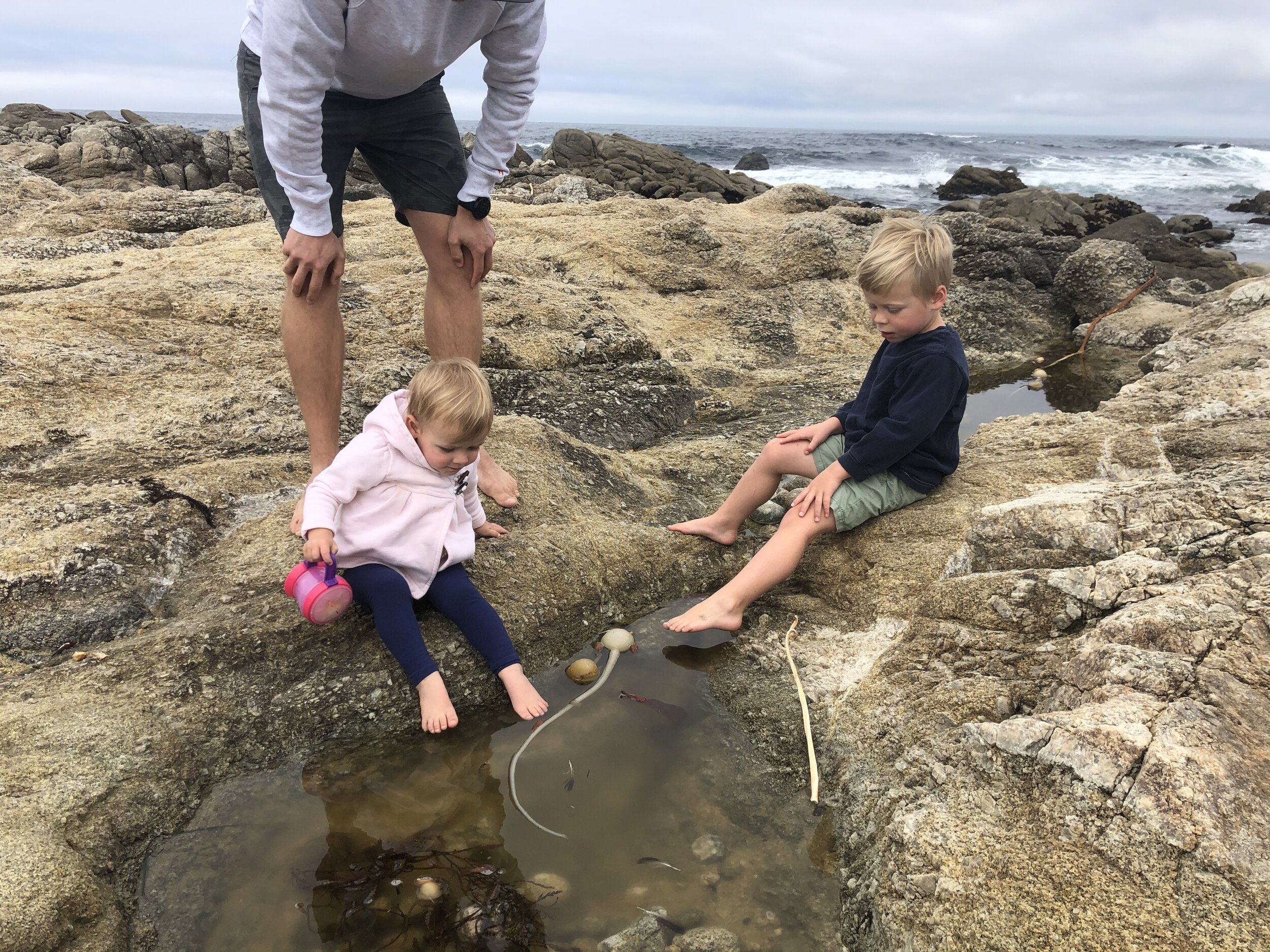
We had a lovely day in Monterey (hey, that rhymes!). We drove the famous 17-mile drive through Pebble Beach and had lunch in Carmel-by-the-Sea. We stopped in the afternoon for a little beach time for the kids. I loved Carmel-by-the-Sea.

IMG_8730.JPG
IMG_5191.jpg
IMG_9439.jpg
IMG_6744.jpg
IMG_6919.jpg
IMG_9566.jpg
IMG_3465.jpg
IMG_8730.JPG IMG_5191.jpg IMG_9439.jpg IMG_6744.jpg IMG_6919.jpg IMG_9566.jpg IMG_3465.jpg

Visiting Sequoia and Kings Canyon National Parks was a treat; for a few different reasons:

1) My friend Chris joined me visiting these two sister parks.

2) I didn’t do any research on these parks (Chris did…), so I had no expectations going in.

In short, often, low expectations equals pleasant surprises.

Because campgrounds are few and far between (see my previous post), we made campground reservations in the Sequoia National Forest, but each night at a different campground, due to availability - one night at Upper Stoney Creek Campground, and the other at Princess Campground. Not staying in the same campground meant we were towing the Airstream around with us for most of the weekend.

Per Chris’s park research, I learned that Sequoia trees are the largest (by volume) globally. With a depth of 8,200 feet, Kings Canyon is one of the deepest canyons in the United States. These parks also host two of the largest (by volume) trees in the world: General Sherman and General Lee. The General Sherman Tree IS the largest in the world (275 feet tall and over 36 feet in diameter at the base), and the General Lee Tree is the second largest of the Sequoias in the Grant Grove section of the park, and 11th largest in the world.

We started by visiting Grant Grove, which is home to the General Lee Tree. We were blown away not only by the size of that tree, but also by all the other trees in the area. The bases of these trees were massive!

IMG_6465.jpg
IMG_7653.jpg
IMG_4735.jpg
IMG_0163.JPG
IMG_0139.JPG
IMG_0128.JPG
IMG_0044.jpg
IMG_6465.jpg IMG_7653.jpg IMG_4735.jpg IMG_0163.JPG IMG_0139.JPG IMG_0128.JPG IMG_0044.jpg

The trees were enormous - but the views driving through the park were equally as impressive. Chris and I took turns driving. I have to say; it was nice to be in the passenger seat for a change. I got to look out the window at the sights without having to pay attention to the road.

IMG_0135.JPG
IMG_6784.jpg
IMG_7723.jpg
IMG_0135.JPG IMG_6784.jpg IMG_7723.jpg

Chris and I did the perfect nine-mile hike. I hate to admit it, but we took Addie with us, despite it being against the rules. The path seemed “less traveled,” so I took the risk. The trail was called Mist Falls, and it snaked through lush greenery, riverbanks, and at the end was a beautiful waterfall. 

IMG_8178.jpg
IMG_9782.jpg
IMG_9874.jpg
IMG_7723.jpg
IMG_4986.jpg
IMG_2001.jpg
IMG_0355.jpg
IMG_0023.JPG
IMG_0031.JPG
IMG_0091.JPG
IMG_0099.JPG
IMG_0110.JPG
IMG_8178.jpg IMG_9782.jpg IMG_9874.jpg IMG_7723.jpg IMG_4986.jpg IMG_2001.jpg IMG_0355.jpg IMG_0023.JPG IMG_0031.JPG IMG_0091.JPG IMG_0099.JPG IMG_0110.JPG

The last day in the parks, we hiked up Moro Rock. From the top, our vantage point afforded us views of both parks - nearly in entirety. We also couldn’t leave without driving through the tunnel log.

IMG_0078.JPG
IMG_9468.jpg
IMG_0121.JPG
IMG_0126.JPG
IMG_0141.JPG
IMG_0078.JPG IMG_9468.jpg IMG_0121.JPG IMG_0126.JPG IMG_0141.JPG

Lastly, here are a few shots of us with the National Park signs. After Addie and I got a photo next to the Sequoia sign, she insisted on being in Chris’s picture as well. She ran up to him as he was standing next to it!

These sister parks were stunning and although I had now expectation for them, they blew me away.

IMG_0066 3.JPG
IMG_0085 3.JPG
IMG_0094.JPG

It’s funny. Many people I meet ask me what my favorite park is so far. It’s not a simple answer. Being a favorite depends on so many factors: the weather, where I’m camping, if Addie is with me or not, if I have a special treat like a friend joining me, how crowded the park is, the ease on navigating the park, etc. It’s way more about the experience in its entirety that makes it a favorite or not. I’d say these parks were definitely a favorite.

July 09, 2020 /Sarah Williams
sequoia tree, sequoia and kings canyon national park, kings canyon, camping, monterey, carmel-by-the-sea, national parks, Airstream, sequoia national forest, general sherman tree, general lee tree, grant grove, Moro rock, tunnel log
Along the Way, National Parks
1 Comment
Screen+Shot+2020-05-05+at+2.39.46+PM.jpg

#20: White Sands National Park

May 05, 2020 by Sarah Williams in National Parks

I was really excited to visit this park. This is one of those places you see the photos of and you can’t imagine what it’s like in actuality. I mean, white sand dunes in the south of New Mexico? So strange. But so incredible.

This portion of my trip was my first boondocking experience. This term is used in the RV community and it means to camp out on public land with no water or electric hookups. No reservations are needed because it’s public land, not necessarily “managed” as a campground would be. You basically just park and stay. There are numerous apps and websites such as Campendium, Recreation.gov, and iOverlander (to name a few) that enable travelers to find these free places to camp. Usually, they’re public lands, parks, or government properties - sometimes even business parking lots that allow RV’rs to spend the night.

I found a place to camp outside Las Cruces, NM. White Sands National Park was about an hour’s drive from there. Since I wasn’t too familiar with boondocking and didn’t feel comfortable leaving my Airstream unattended, I towed it along with me to the park. I’d just find another place to boondock that night. NOTE: at this point, I am MUCH more comfortable “winging it” and not necessarily knowing where I’d be spending the night on any given day. In my first few months of traveling, this was NOT the case! See, I’m getting comfortable with being uncomfortable. 😀

Sunset from my boondocking spot near Las Cruces, NM.

Sunset from my boondocking spot near Las Cruces, NM.

The park’s visitor center was at the start of the white gypsum sand dunes. You sort-of drive into the dunes. The cool thing about this park is that there are minimal actual trails. You can just park your car on the park road wherever you want and start exploring anywhere. Addie and I randomly parked in a few different places where it didn’t look like many other people were. I took off my shoes and we were off into the dunes.

A few cool things about the sand here:

  • It’s super fine.

  • It’s not little rocks like beach sand; it’s gypsum.

  • It’s not hot. The day we went was super sunny, but the sand was cool (not like at the beach when the sand can get so hot you have to leave your sandals on).

Although Addie wasn’t supposed to be off-leash, I let her off for a bit. She is so much easier off the leash and with all the open space, I wanted her to be able to run. Of course, she decided to go to the bathroom immediately, so I was walking around with a poop bag the whole time (worth it).

IMG_6933.jpg
IMG_6927.jpg
IMG_6934.jpg
IMG_6936.jpg
IMG_6937.jpg
IMG_6941.jpg
IMG_6942.jpg
IMG_6965.JPG
IMG_6971.JPG
IMG_6988.jpg
IMG_6980.jpg
IMG_6990.jpg
IMG_6983.jpg
IMG_6991.jpg
IMG_6992.jpg
IMG_6994.jpg
IMG_7001.jpg
IMG_6933.jpg IMG_6927.jpg IMG_6934.jpg IMG_6936.jpg IMG_6937.jpg IMG_6941.jpg IMG_6942.jpg IMG_6965.JPG IMG_6971.JPG IMG_6988.jpg IMG_6980.jpg IMG_6990.jpg IMG_6983.jpg IMG_6991.jpg IMG_6992.jpg IMG_6994.jpg IMG_7001.jpg

There was an option to sled on the dunes. Park visitors could rent or buy sleds at the visitor center. I did not do this and avoided people who were. I just felt that this landscape is better enjoyed walking and taking it all in, rather than sledding on it.

We stayed for a few hours. We might have stayed longer and relaxed a bit if it weren’t so windy. This park was one of the coolest I’ve been to yet. Not only was it beautiful, but it was so unusual. You never expect to see gorgeous white sand while NOT on a beach. Come to think of it, the sand was very similar to the sand on the Gulf Shore of Florida. Can you tell the difference?

Screen Shot 2020-05-05 at 2.32.40 PM.png

After a fun-filled visit to White Sands National Park, Addie and I departed late afternoon and headed back to Las Cruces to find a place to stay for the night. More to come in my next post about the rest of New Mexico!

May 05, 2020 /Sarah Williams
White Sands National Park, gypsum, boondocking, BLM land, national parks, dogs, New Mexico, Sunset, sledding, sand dune, Las Cruces
National Parks
2 Comments
IMG_6727.jpg
IMG_6800.jpg

#19: Guadalupe Mountains & Carlsbad Caverns National Parks

May 04, 2020 by Sarah Williams in National Parks

Upon leaving Marfa, I headed north to two smaller national parks: Guadalupe Mountains National Park in Texas and Carlsbad Caverns National Park in New Mexico. Although these parks are in two different states, they are only about a 45-minute drive from each other. Both being smaller national parks, I hadn’t planned on spending more than three days in the two parks combined.

About a two-hour drive from Marfa, I arrived at Guadalupe Mountains NP mid-day. This park is in the northern part of the Chihuahuan Desert, whereas Big Bend NP is in the southern part of the Chihuahuan Desert. I reserved a campsite for two nights. The camp”site” was basically a parking lot, which was a little disappointing. However, my fellow campers were super nice and helpful.

IMG_6848.jpg
IMG_6791.jpg

That afternoon, I decided to do a hike called Devil’s Hall, which would take at least a few hours. The weather was moderate and not hot at all, so Addie was completely fine relaxing in the trailer while I hiked (again, no dogs were allowed on the trails).

The next day I’d head out to Guadalupe Peak - the highest peak in Texas. This hike was going to be longer and more rigorous, but I figured while I’m there I should do it. Plus, I was told the views were incredible from the peak (~8,700 ft).

The hike to Devil’s Hall was respectable - the landscape was diverse and it was a lot of rock scramble (which I like). I was hiking solo, but I did run into a few other hikers along the way so I didn’t feel unsafe. After walking up a set of naturally-formed rock steps, I was almost at the destination. When I got there I understood why they call it Devil’s “Hall.”

IMG_6776.jpg
IMG_6777.jpg
IMG_6780.jpg
IMG_6782.jpg
IMG_6783.jpg
IMG_6786.jpg
IMG_6788.jpg
IMG_6789.jpg
IMG_6776.jpg IMG_6777.jpg IMG_6780.jpg IMG_6782.jpg IMG_6783.jpg IMG_6786.jpg IMG_6788.jpg IMG_6789.jpg

On the hike back, I met a fellow traveler and new friend, Gerard. He and I hiked back together (getting a little lost on the way) and chatted the entire time. This is what I love about this trip: I meet so many interesting people by happenstance. Gerard and I enjoyed a drink and some soup back at my Airstream that night.

Given the weather forecast of freezing cold temperatures and a wintery mix, I made the decision to switch up my plans a bit. I’d take the bad weather day and drive to Carlsbad Caverns NP and then the day after do the hike to Guadalupe Peak. I love hiking, but I hate being miserable due to the weather. Plus, the visibility would have been zero when I got to the peak. No fun.

Gerard and I met in the morning at Carlsbad Caverns NP. The weather was SHIT. Freezing, windy and wet, we were happy to be underground. This park had a kennel for dogs, so I was able to bring Addie with me and put her in a warm kennel while Gerard and I hiked the cave. It was really hard to leave her, but it was the best thing to do - she would be warm and safe.

To get down to the caverns, you can hike/walk or take an elevator. We opted to hike it so we could see more. We ended up hiking down the equivalent of 95 stories of a building. Our ears popped a few times going down and taking the elevator back up.

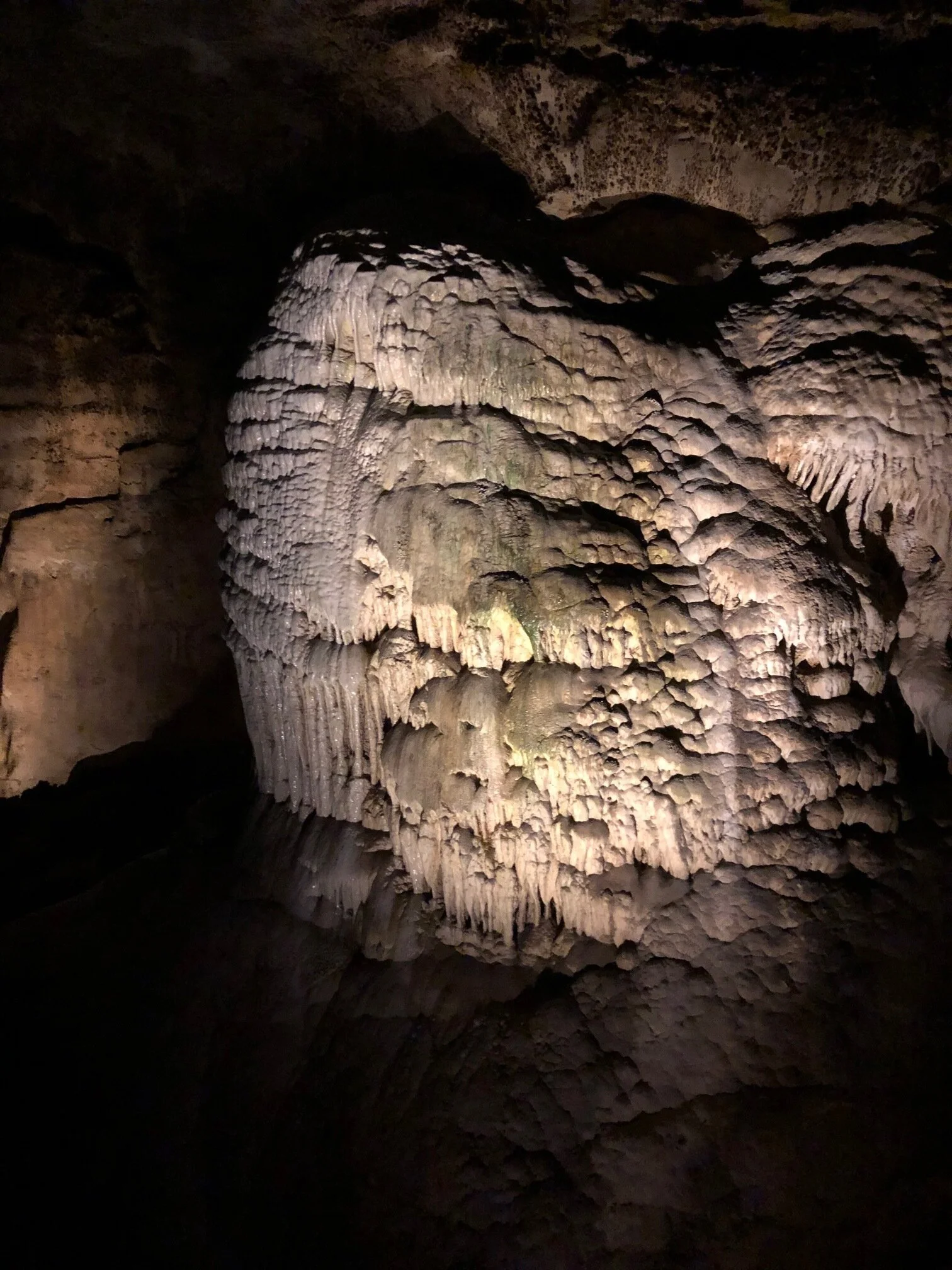
At 56 degrees Fahrenheit at all times (all seasons) the caverns were breathtaking. And huge! I was amazing by how many different rock formations could be present in the same cave. There were so many different types of textures, shapes and sizes. My favorite were the ribbon type, which I’m sure you can identify among the photos below. To date, there are 119 known limestone caves in the park (with more to be discovered in time).

IMG_6804.JPG
IMG_6805.JPG
IMG_6809.JPG
IMG_6812.JPG
IMG_6817.JPG
IMG_6820.JPG
IMG_6823.JPG
IMG_6825.JPG
IMG_6826.JPG
IMG_6829.JPG
IMG_6834.JPG
IMG_6835.JPG
IMG_6838.JPG
IMG_6840.JPG
IMG_6843.JPG
IMG_6846.JPG
IMG_6804.JPG IMG_6805.JPG IMG_6809.JPG IMG_6812.JPG IMG_6817.JPG IMG_6820.JPG IMG_6823.JPG IMG_6825.JPG IMG_6826.JPG IMG_6829.JPG IMG_6834.JPG IMG_6835.JPG IMG_6838.JPG IMG_6840.JPG IMG_6843.JPG IMG_6846.JPG

Gerard and I headed out of the park for a quick bite before we went our separate ways - of course, after taking a photo and posting to Instagram. 😃

The next morning was, again, crappy weather. As I’ve said before, some things are just out of my control. Foregoing the highest peak in Texas, I headed out that day to explore the rest of New Mexico.

May 04, 2020 /Sarah Williams
caves, carlsbad caverns, Chihuahuan Desert, guadalupe mountains, devil's hall, Guadalupe Peak, west texas, weather, New Mexico, Texas, national parks, Guadalupe Mountains National Park, Carlsbad Caverns National Park
National Parks
2 Comments
  • Newer
  • Older

@lyfeintow