LYFE IN TOW

A year of life on the road

  • BLOG
  • ABOUT
    • THIS JOURNEY
    • WHY THE Y
    • ME, AS A PROFESSIONAL
  • CONTACT
  • PARK PHOTOS
    • Shenandoah National Park
    • Mammoth Cave National Park
    • Great Smoky Mountains National Park
    • Congaree National Park
    • Everglades National Park
    • Biscayne National Park
    • Dry Tortugas National Park
    • Hot Springs National Park
    • Big Bend National Park
    • Guadalupe Mountains National Park
    • Carlsbad Caverns National Park
    • Channel Islands National Park
    • Pinnacles National Park
    • Sequoia & Kings Canyon National Parks
    • Yosemite National Park
    • Lassen Volcanic National Park
    • Redwood National & State Parks
    • Crater Lake National Park
    • Olympic National Park
    • Mount Rainier National Park
    • North Cascades National Park
    • Glacier National Park
    • Grand Teton National Park
    • Yellowstone National Park
    • Zion National Park
    • Bryce Canyon National Park
    • Capitol Reef National Park
    • Black Canyon of the Gunnison National Park
    • Great Sand Dunes National Park
    • Mesa Verde National Park
    • Arches National Park
    • Canyonlands National Park
    • Petrified Forest National Park
    • Saguaro National Park
    • Death Valley National Park
    • Grand Canyon National Park
  • BOOKS
IMG_3389.jpg

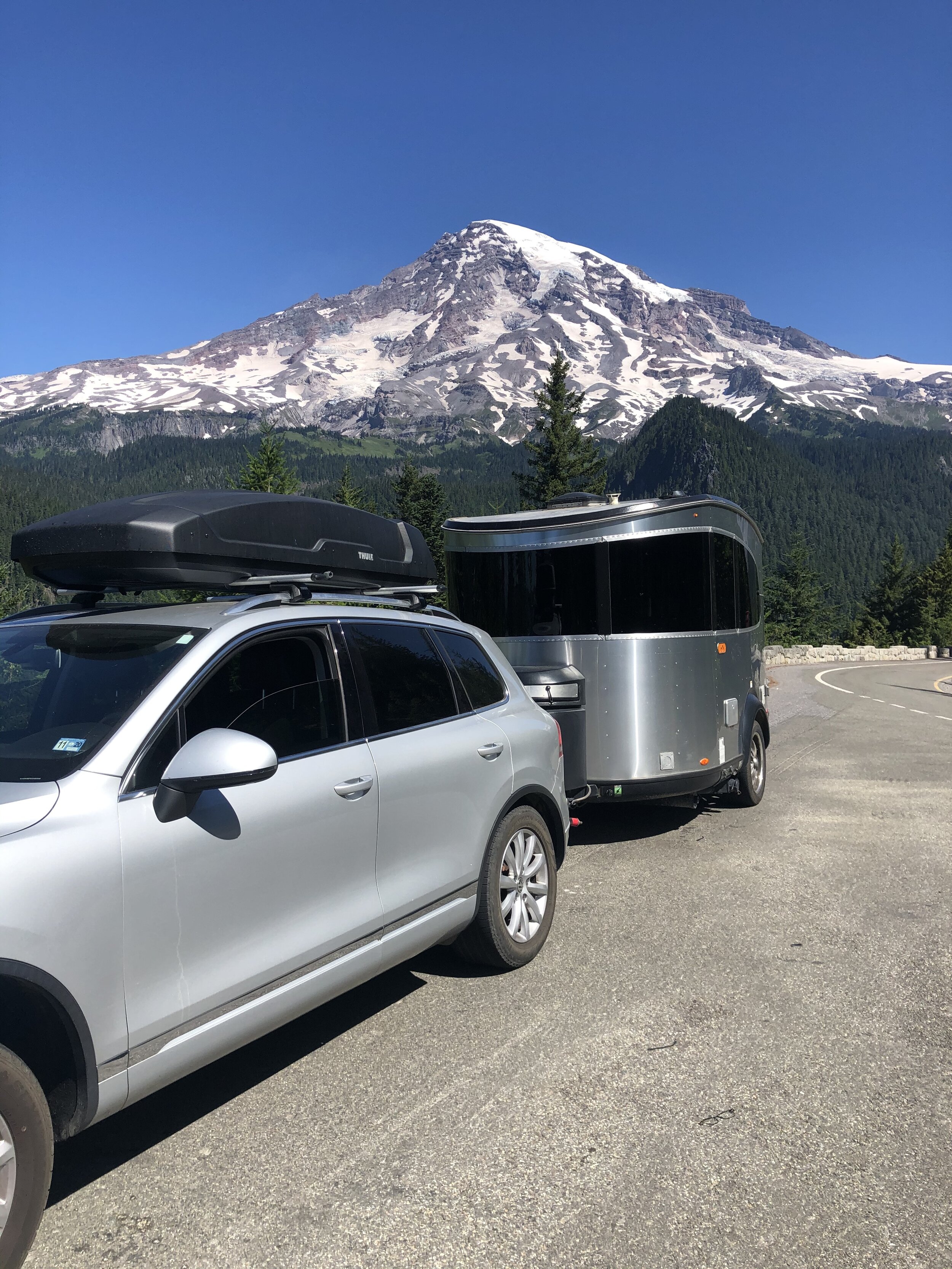
#60: A Few More Stops in Arizona

November 26, 2020 by Sarah Williams in Along the Way

Arizona was not yet in my rearview. I still had more to see and do there, such as an appointment at Airstream of Scottsdale.

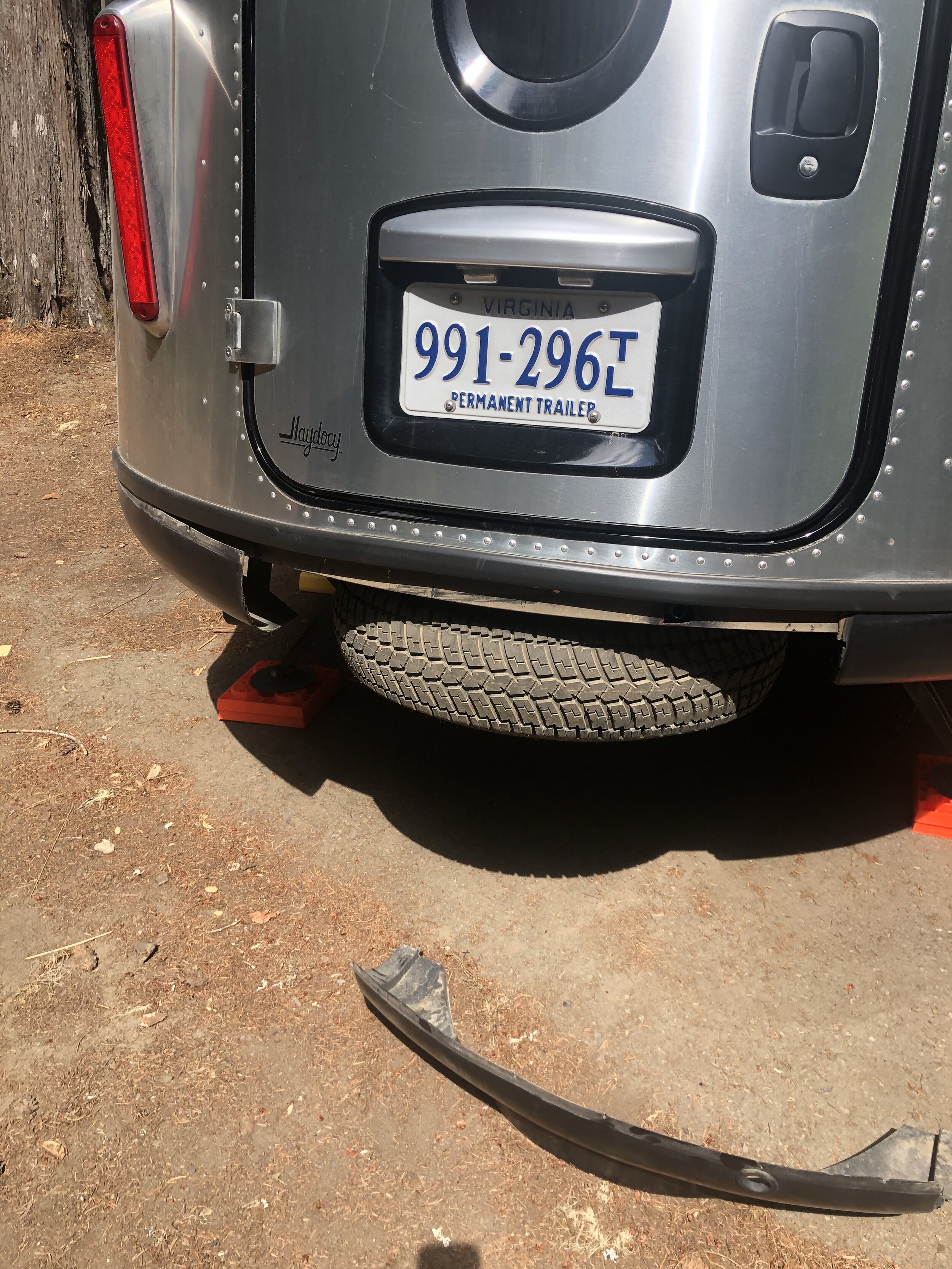
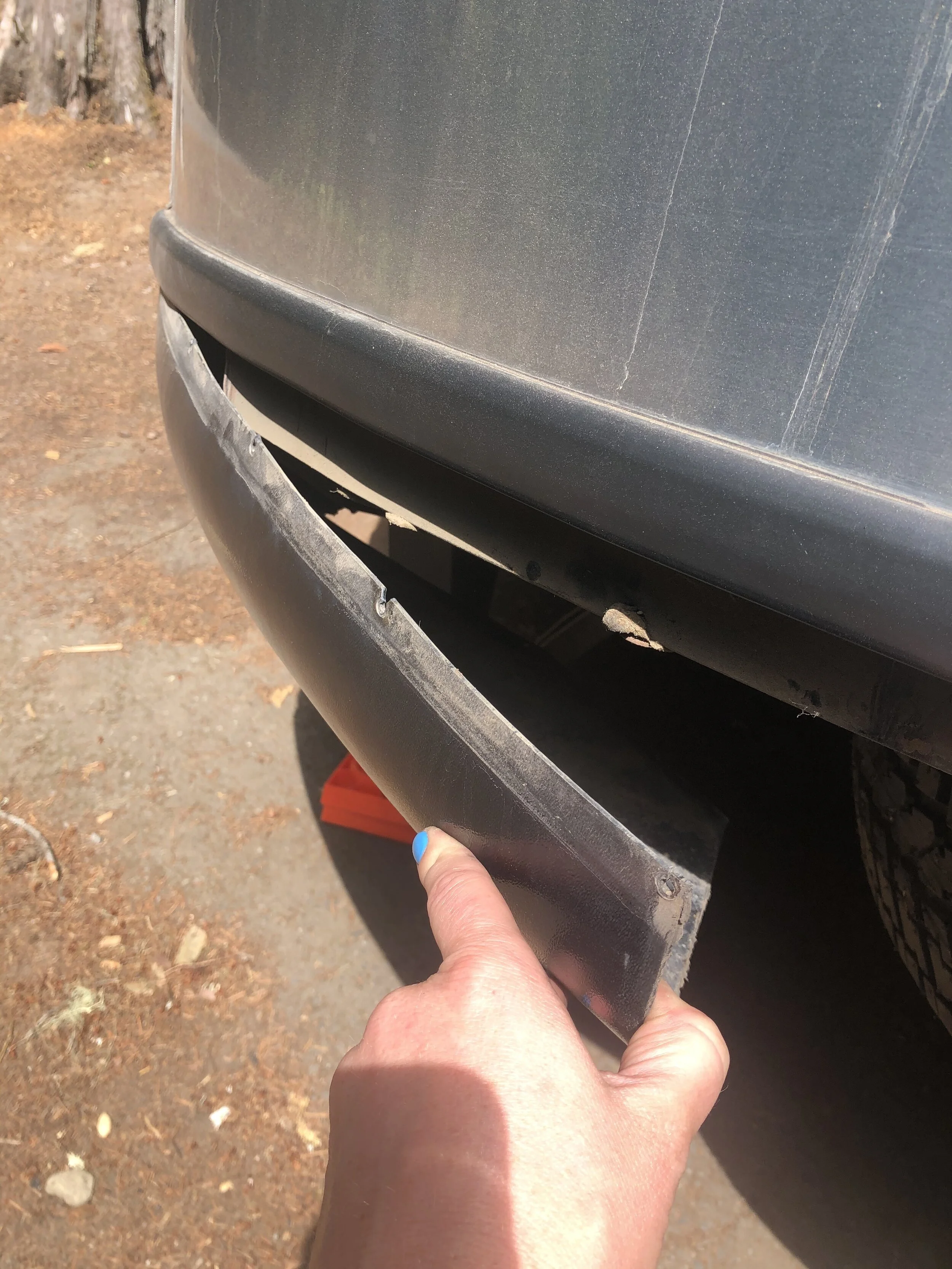
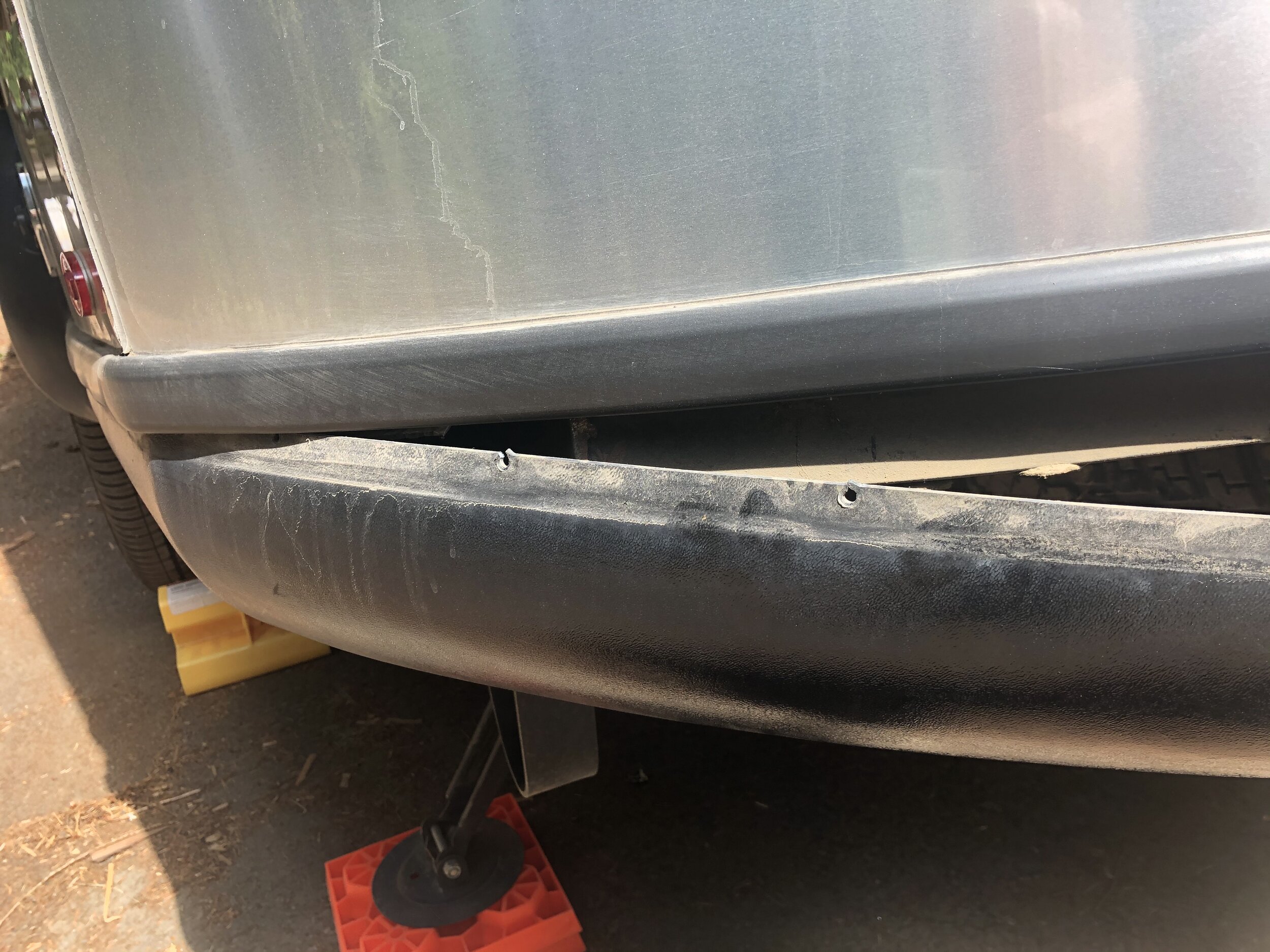
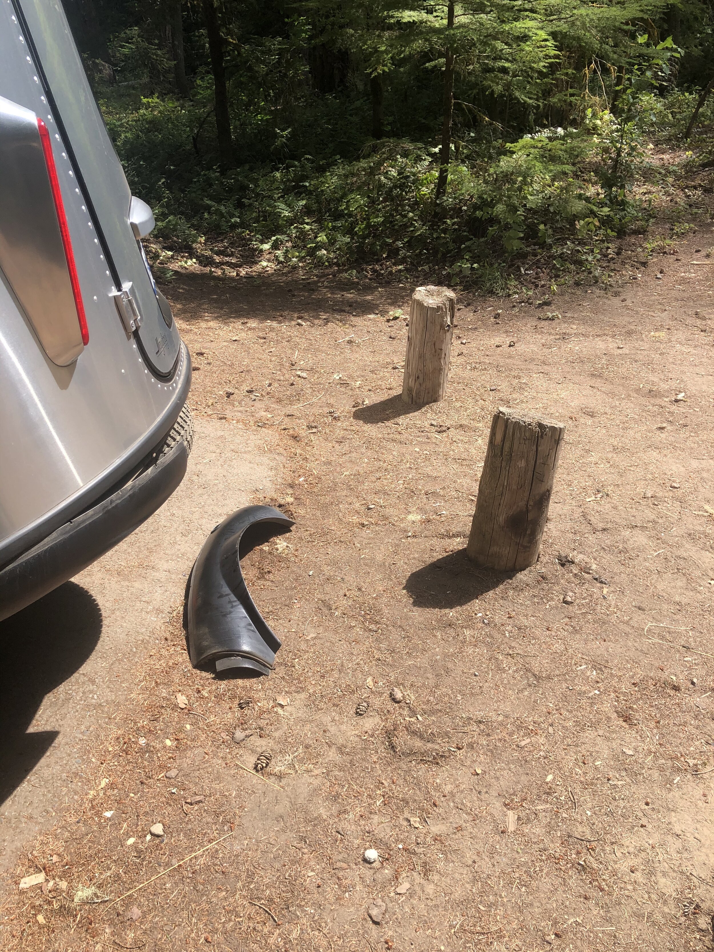
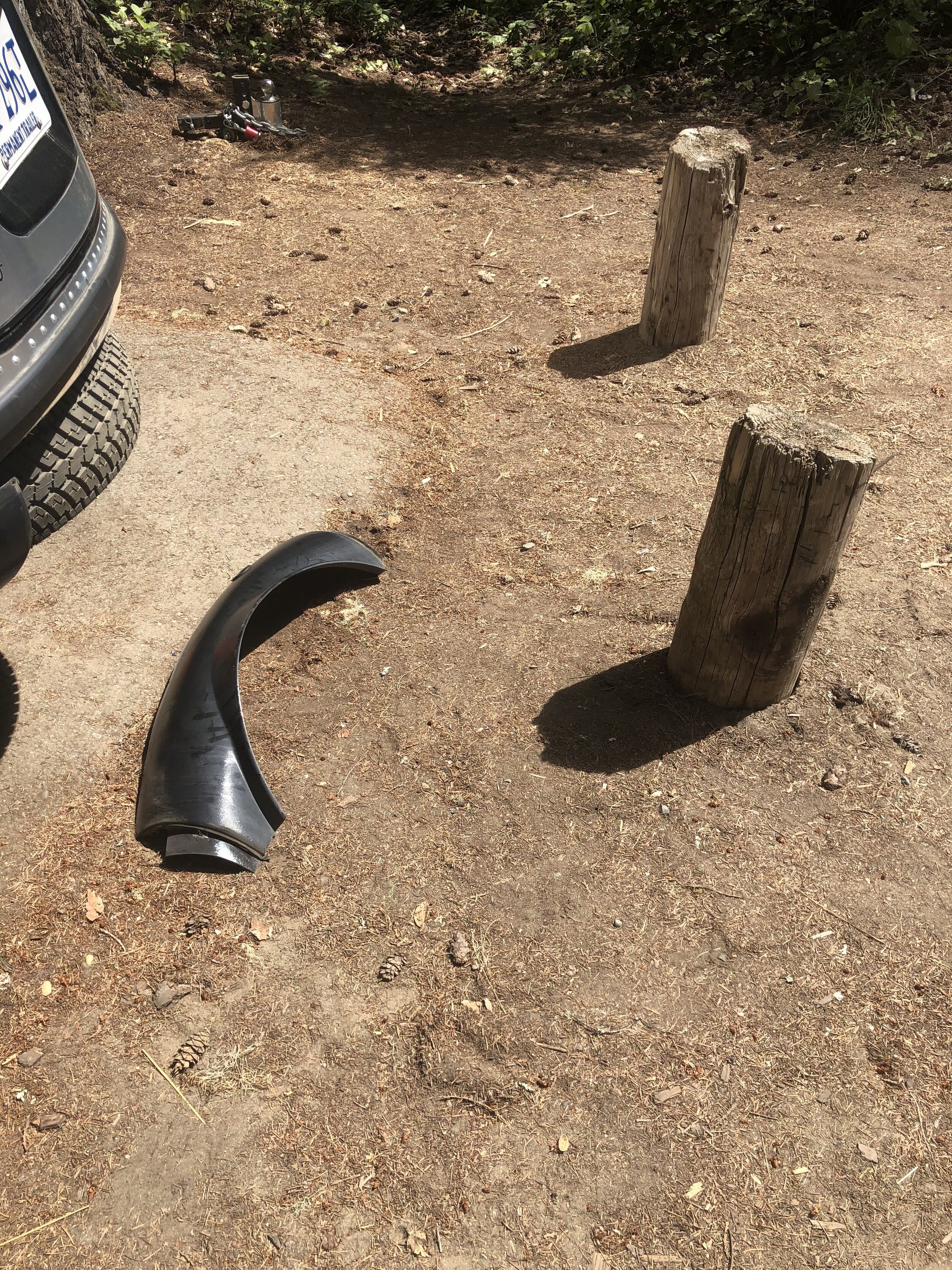
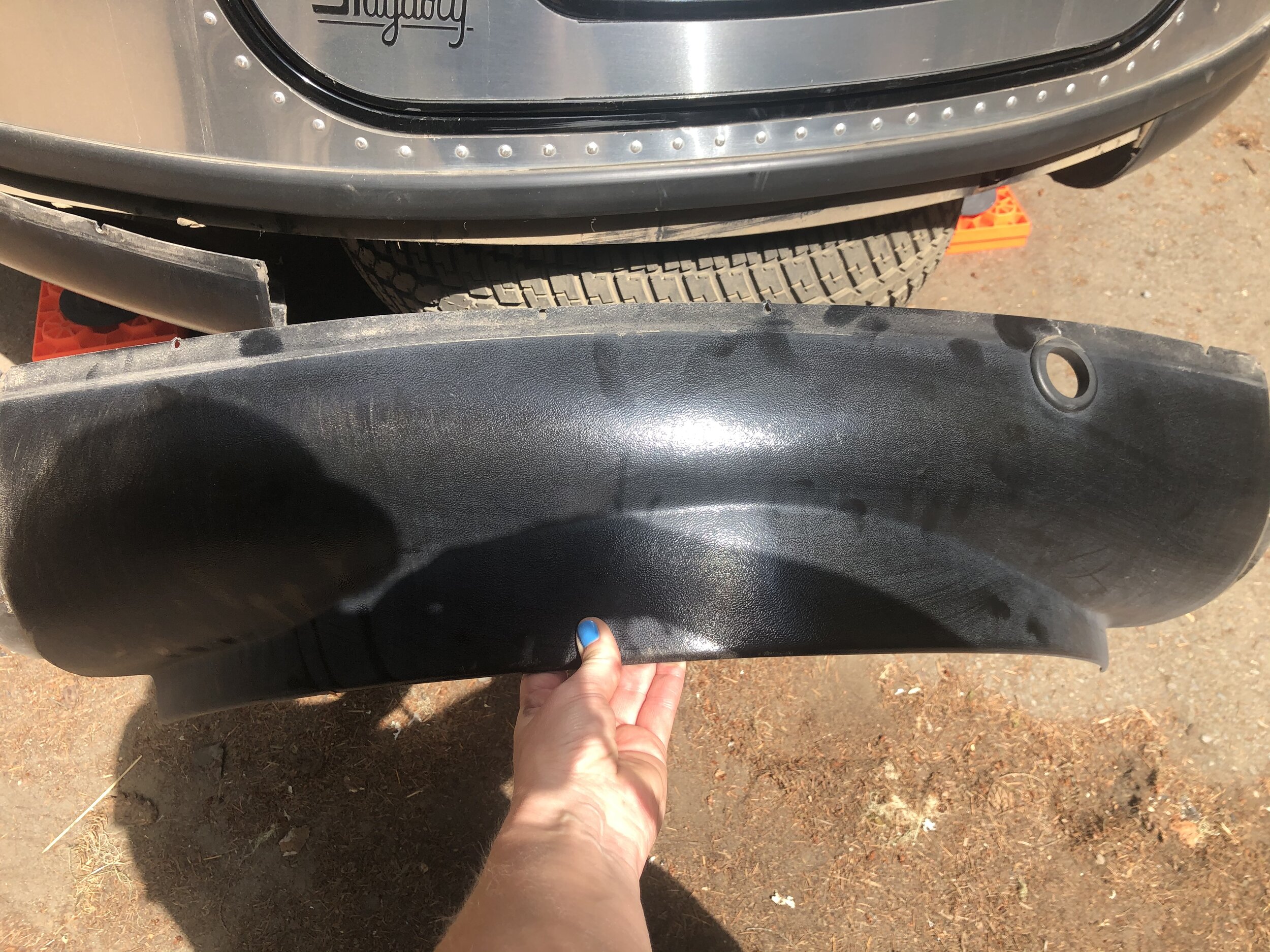
I know, I’ve been to many Airstream locations. This time, it was just for a few small things. I wanted to ensure the Basecamp was in the best possible shape when I handed it over to the new owners. Just like a house, there are things to update, maintain, and fix before selling.

While the Basecamp was in the shop, Addie and I perused historic Scottsdale. I had been once before many years ago, and although I recognized a lot of it, even more of it seemed new and different. The historic section still felt small, authentic, and quaint, though.

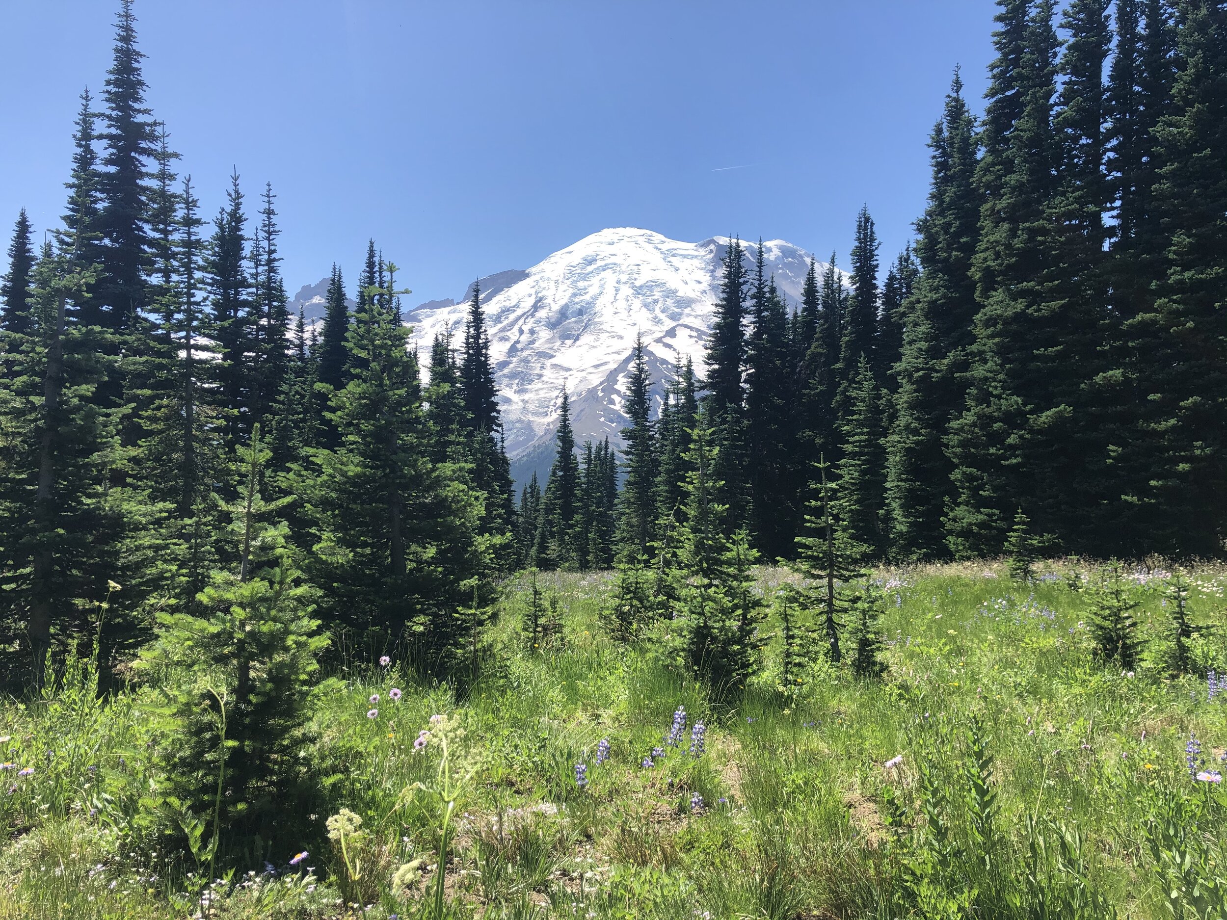
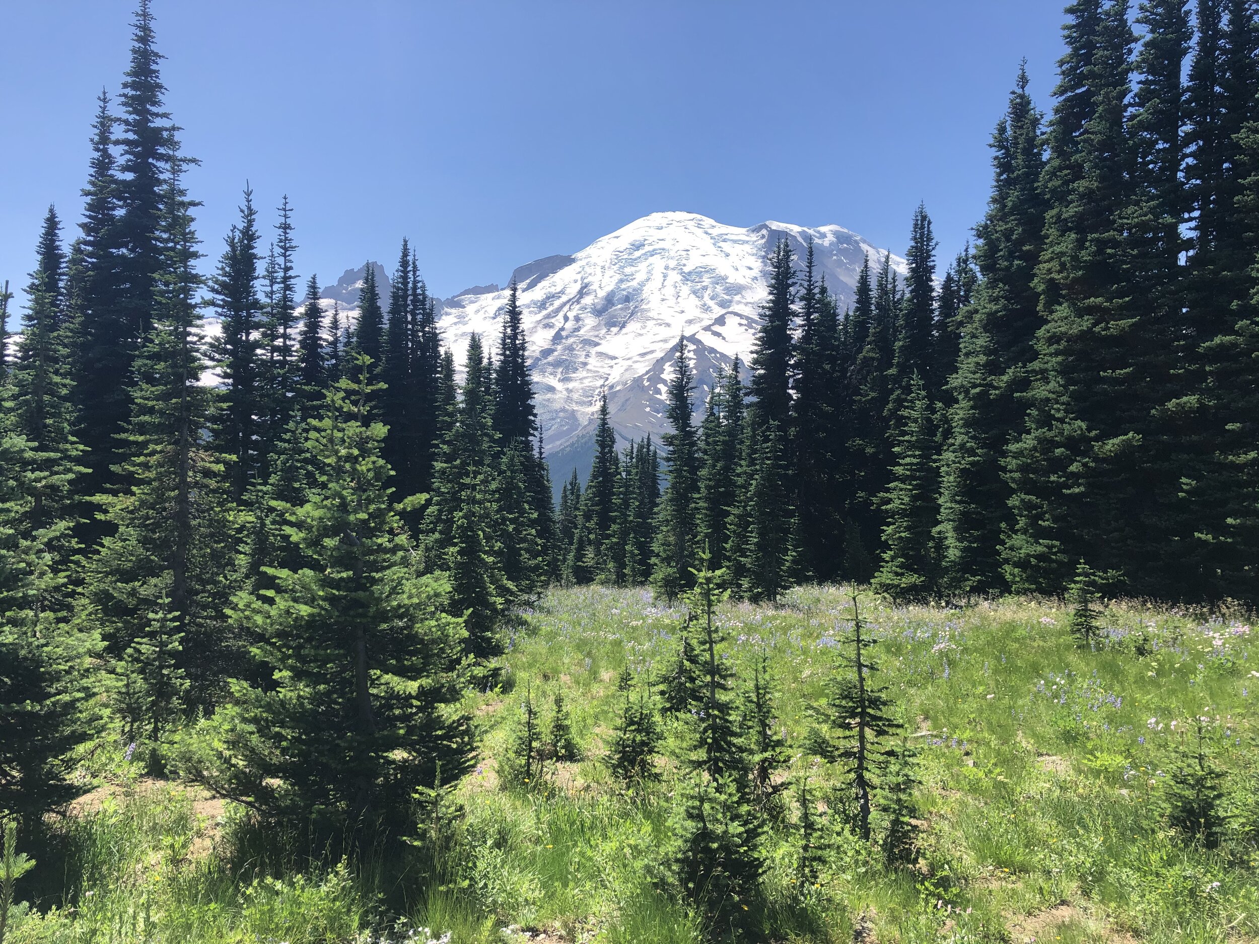
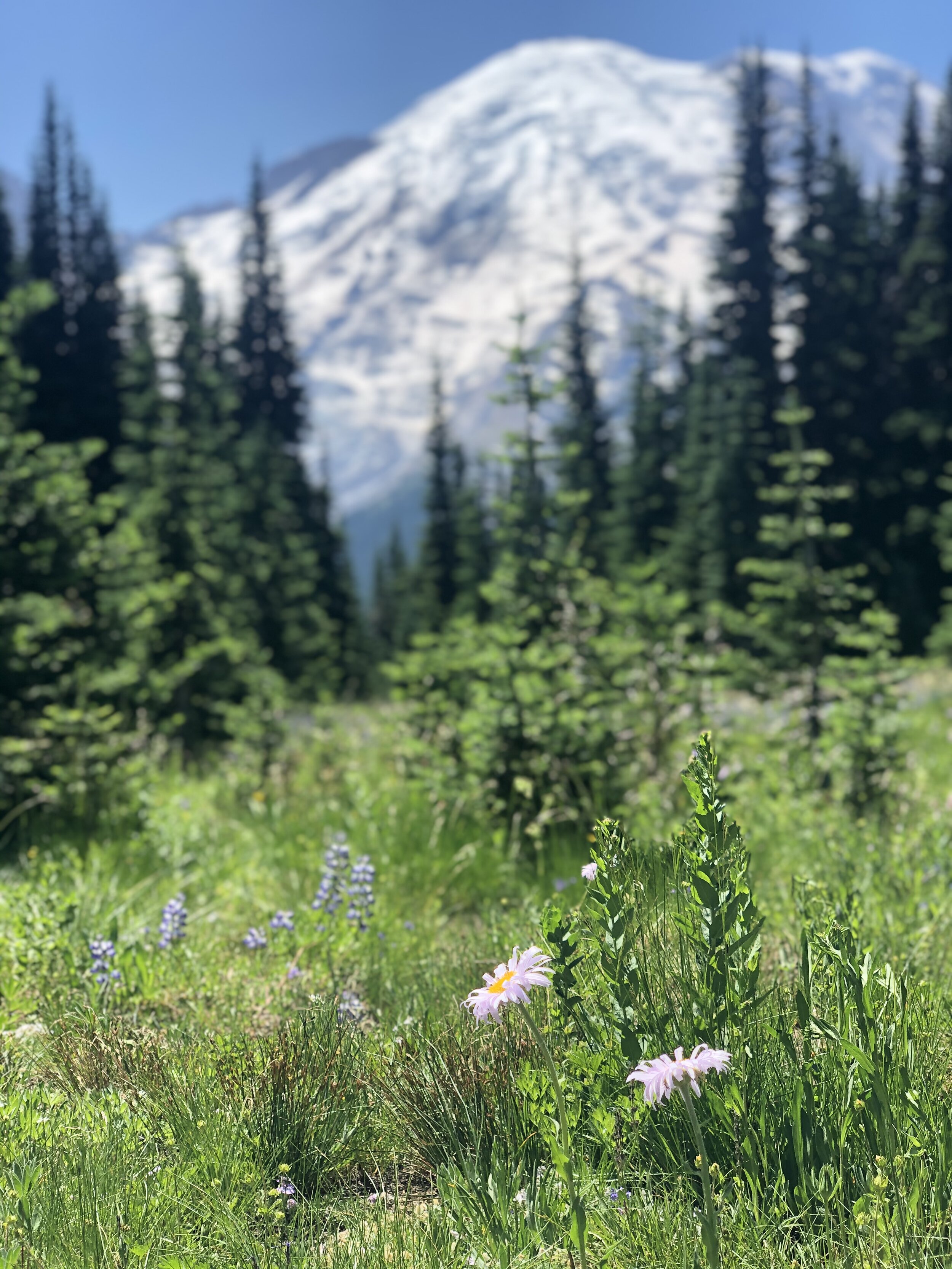
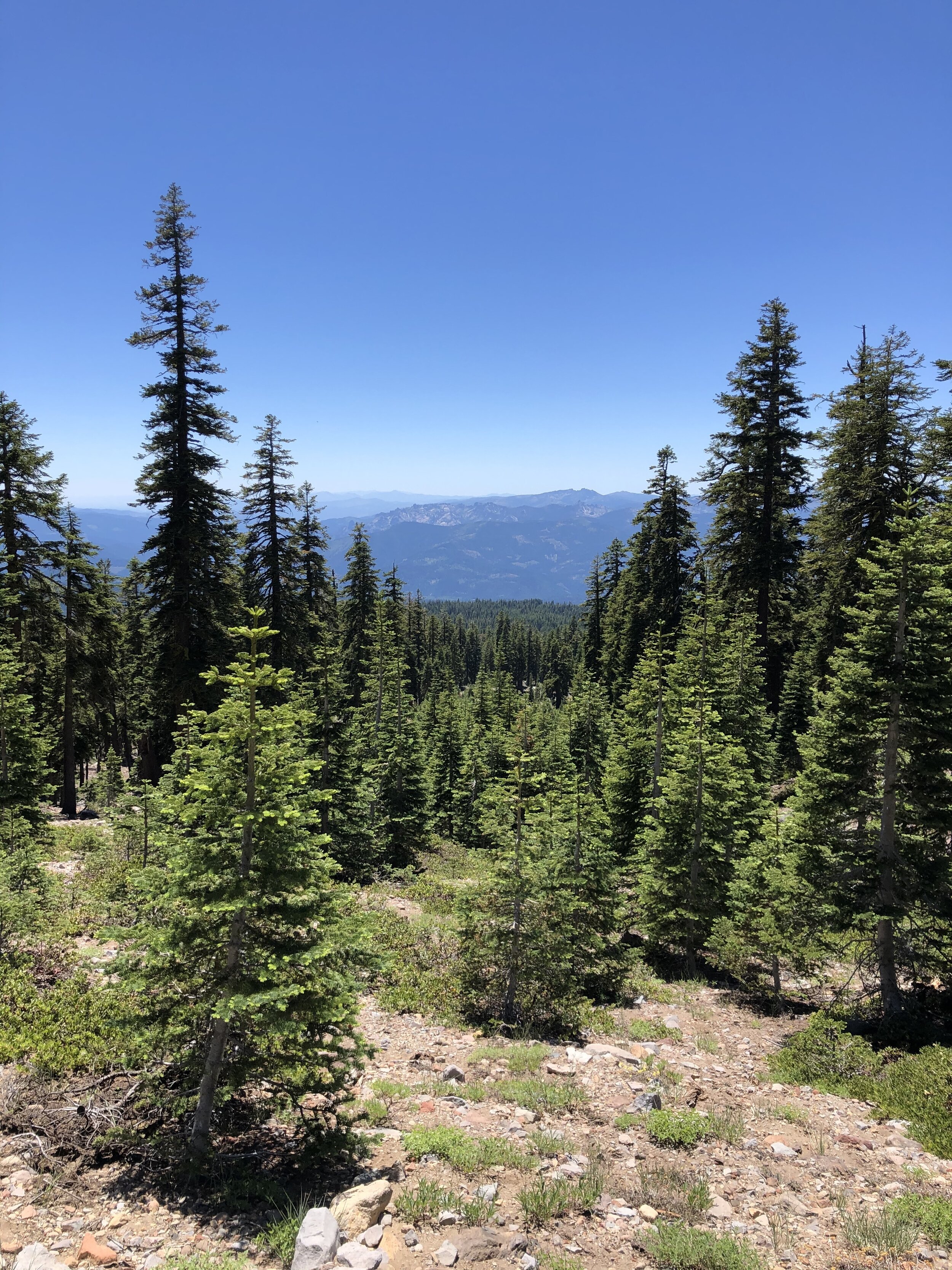
Since I started traveling in November 2019, I had been looking forward to Sedona. Not only is Sedona incredibly scenic, but it’s also a spiritual vortex.

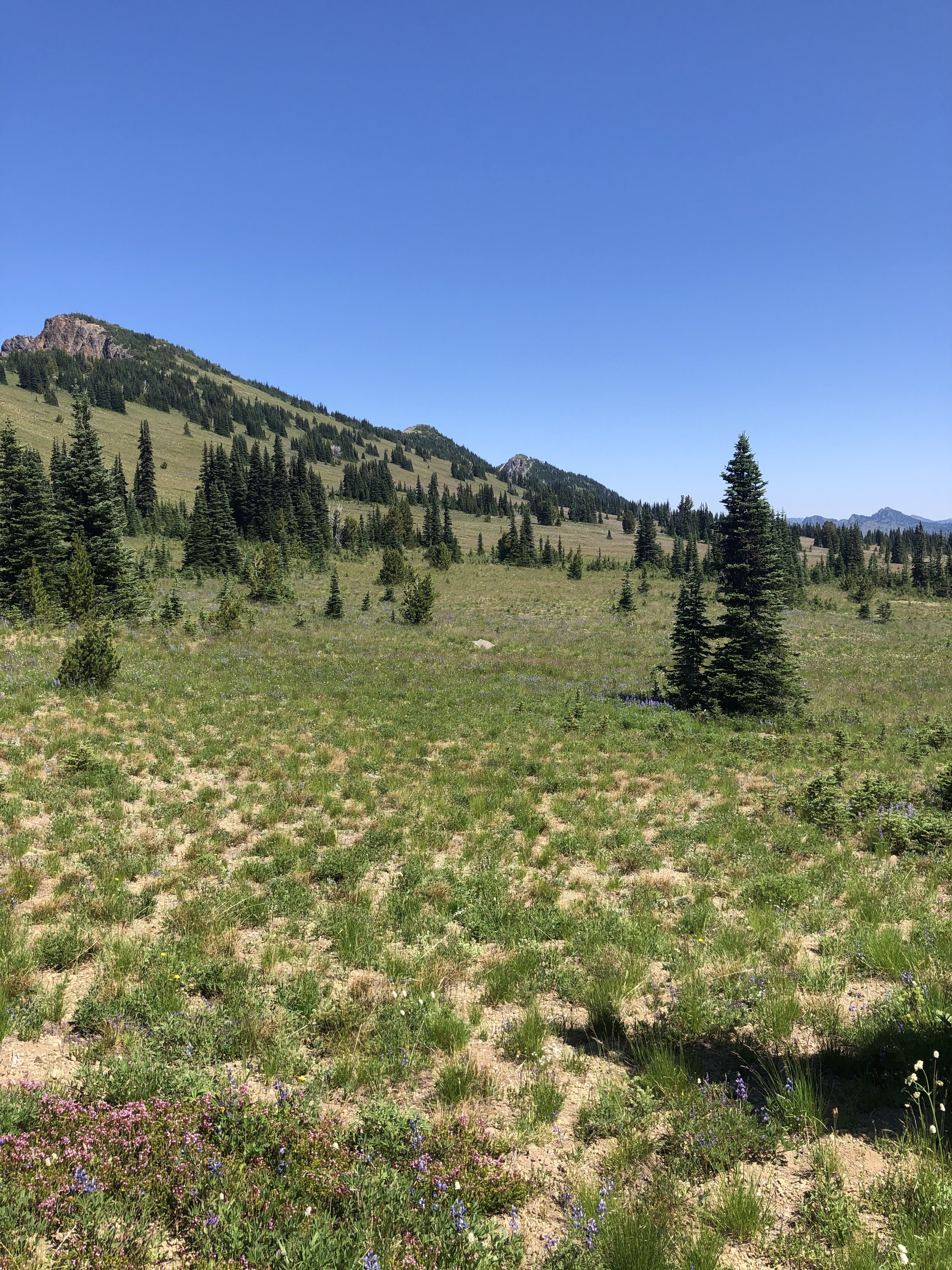
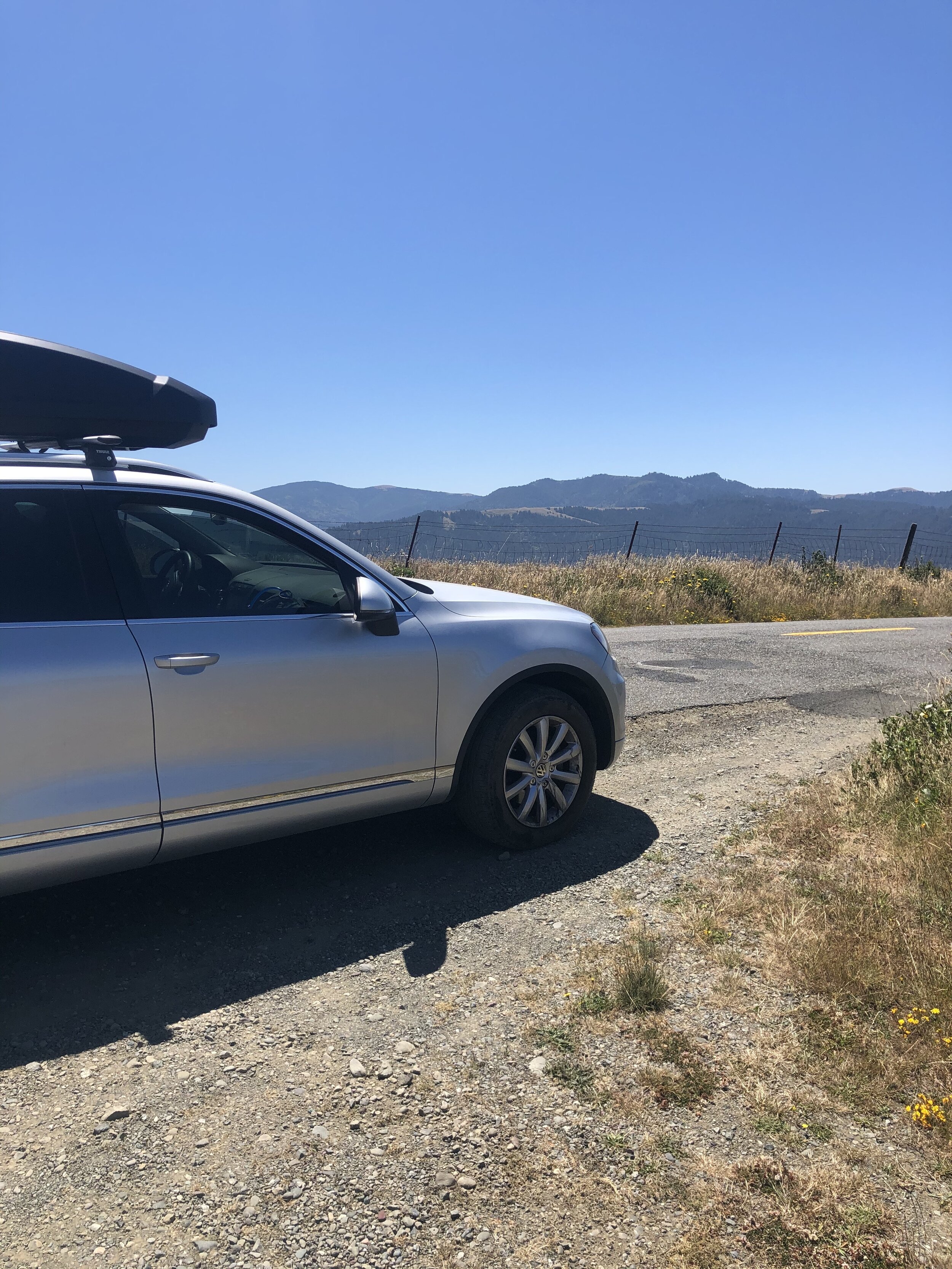
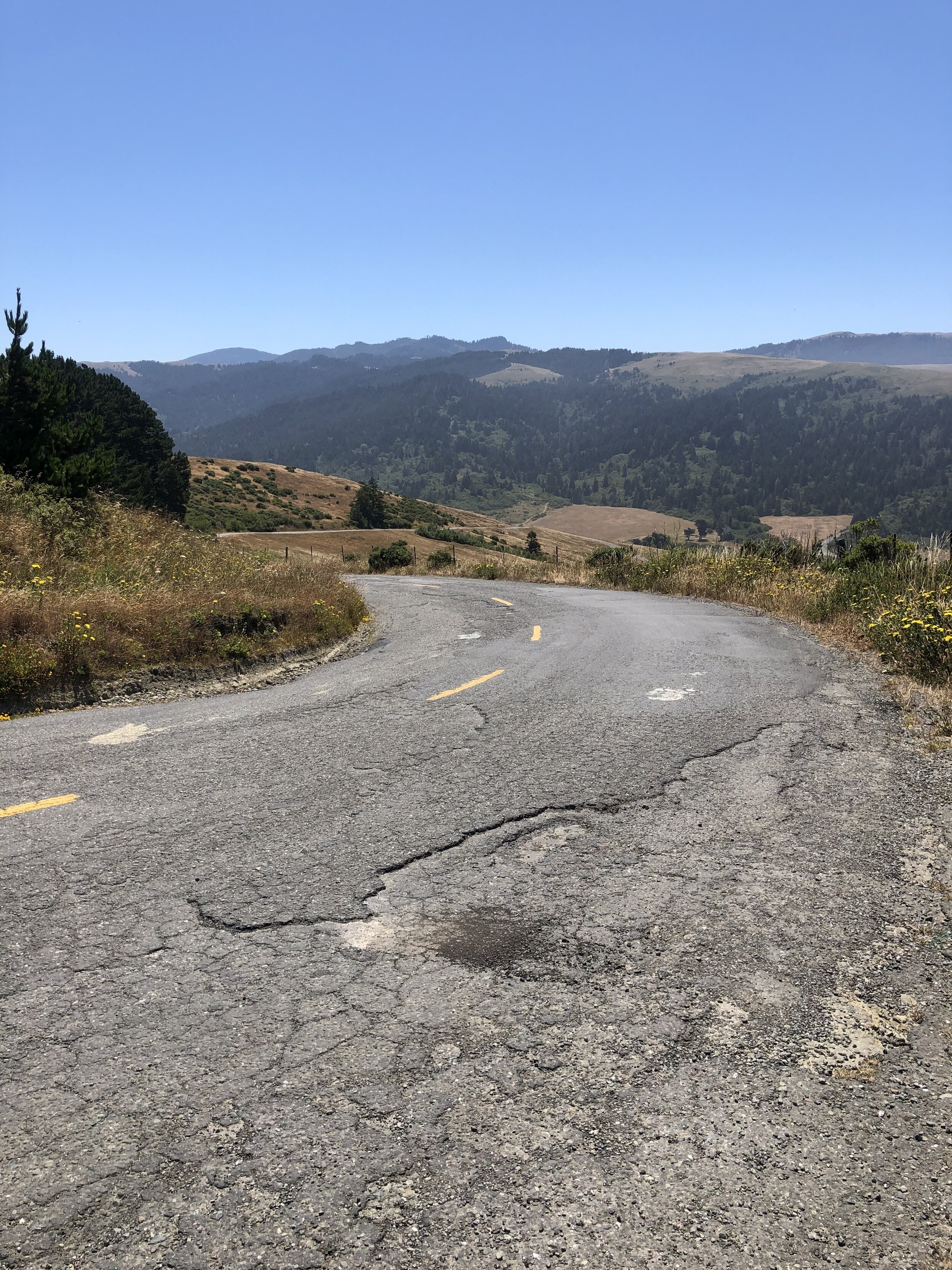
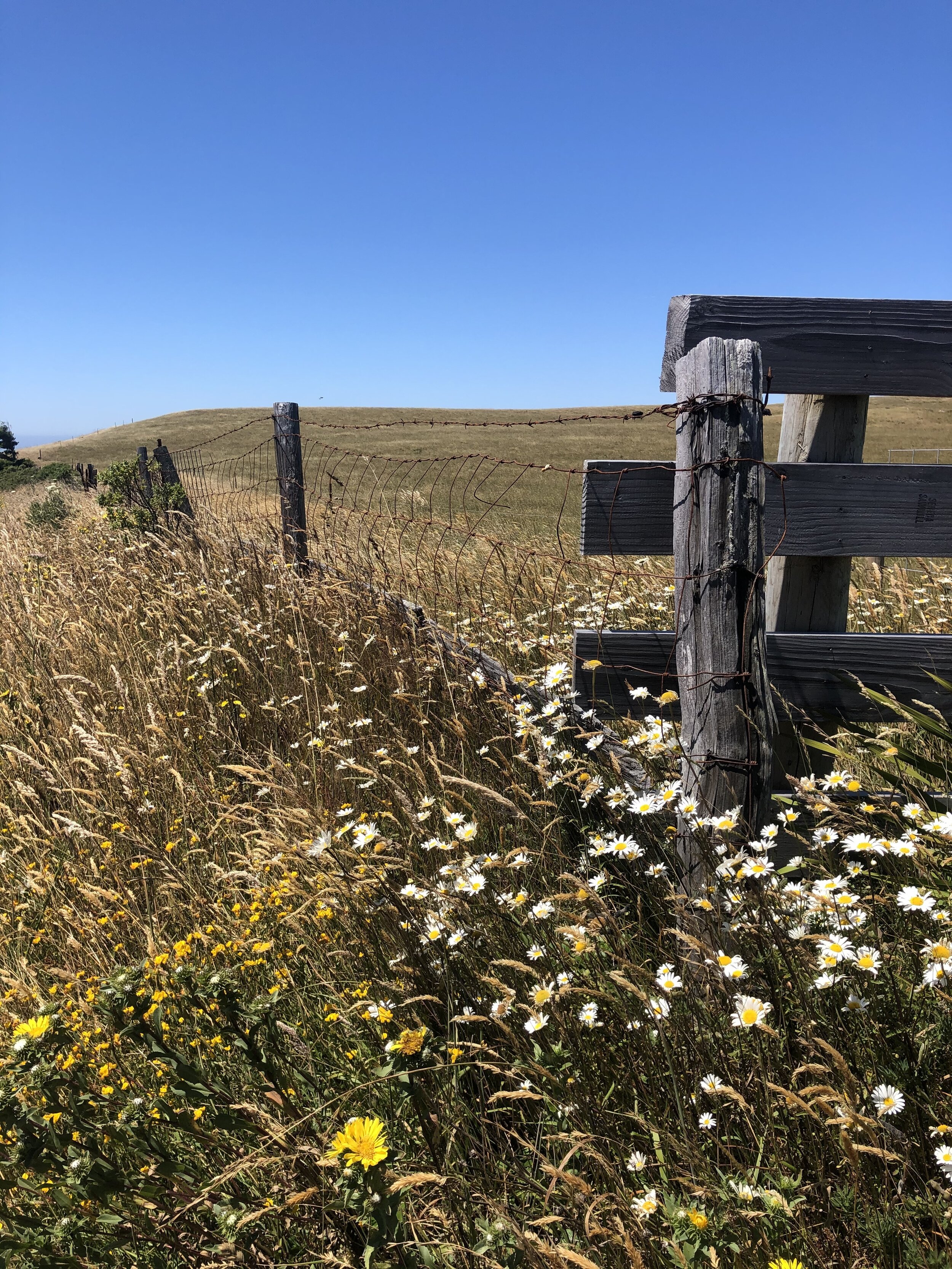
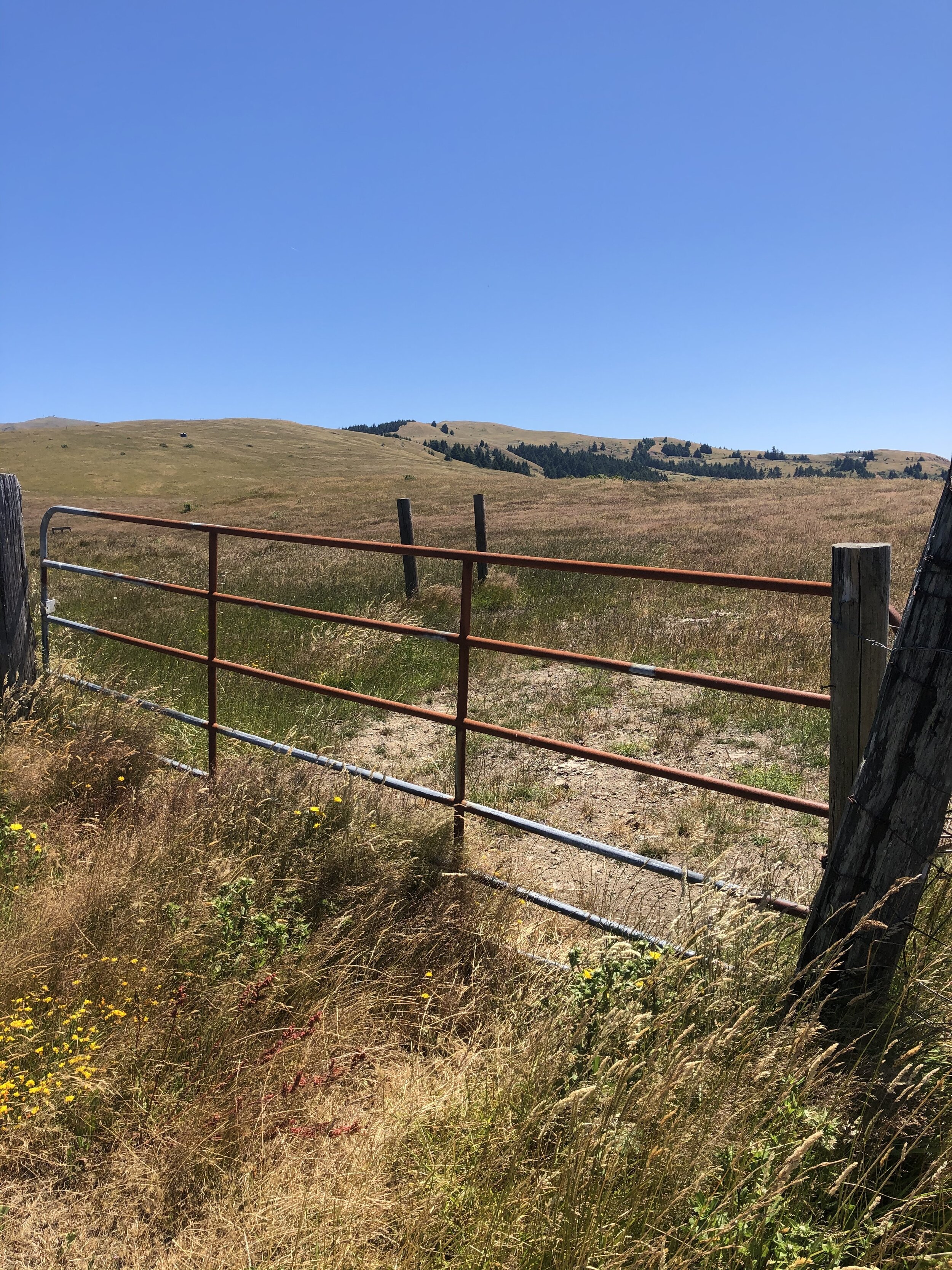
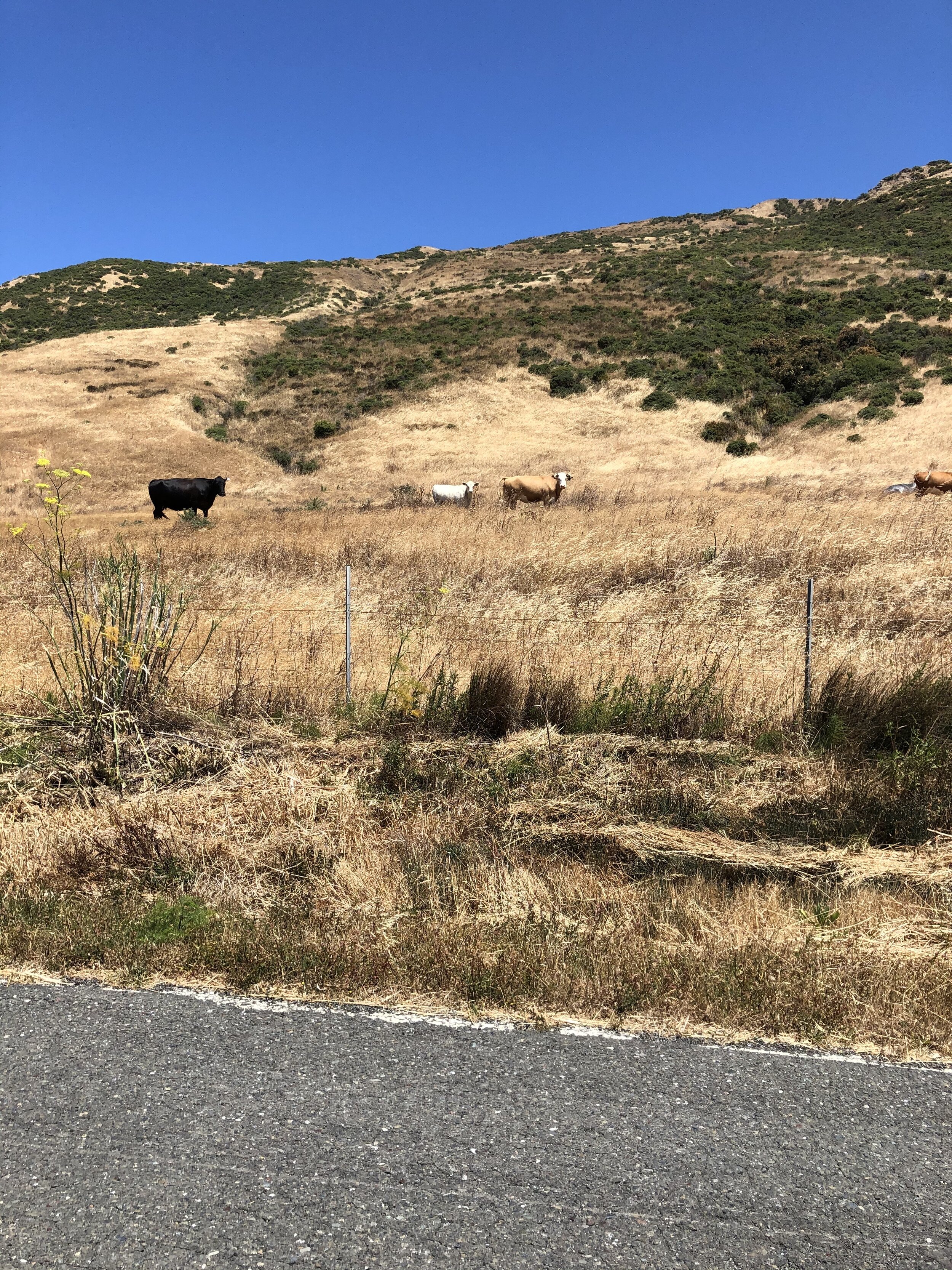
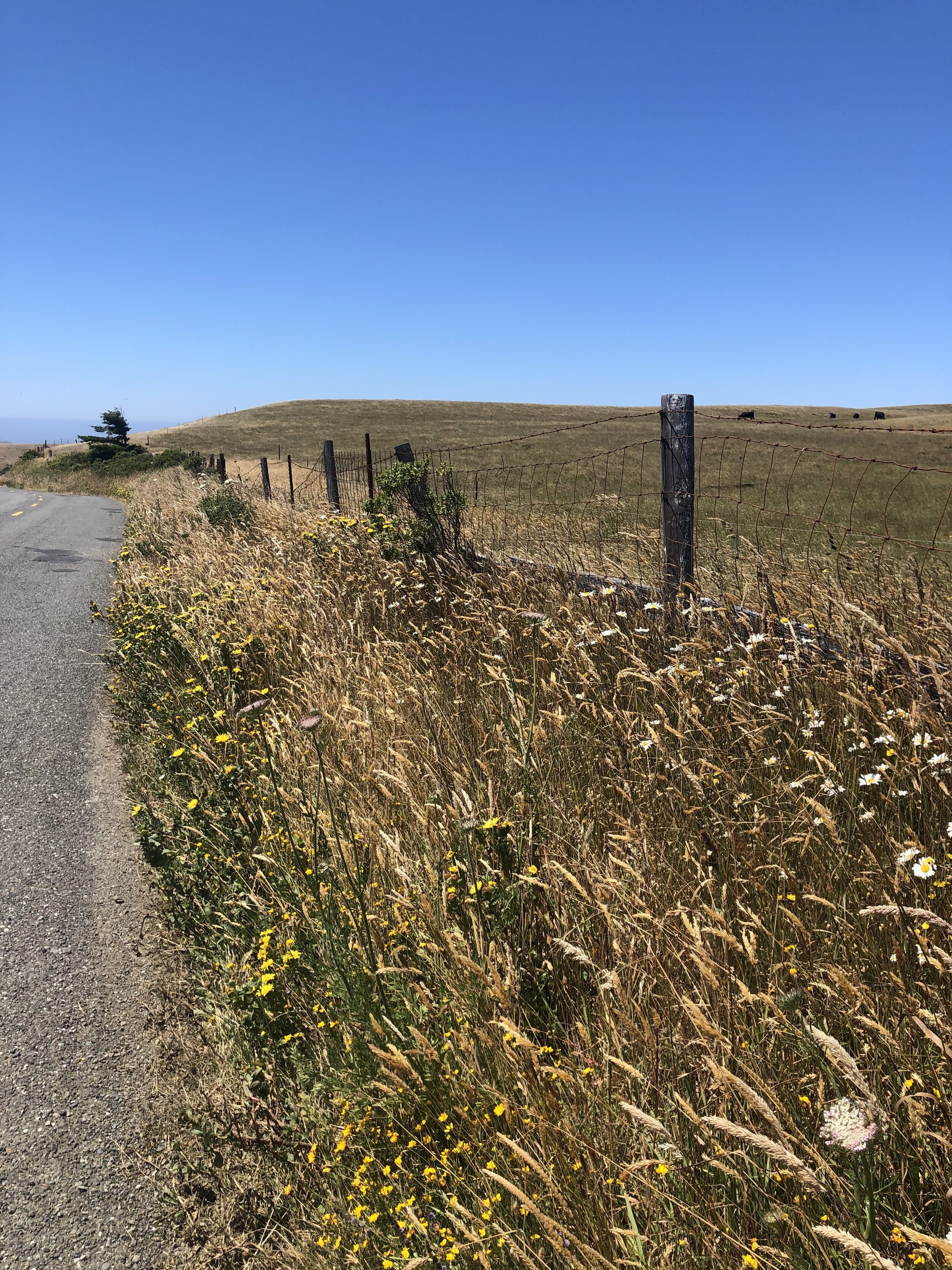
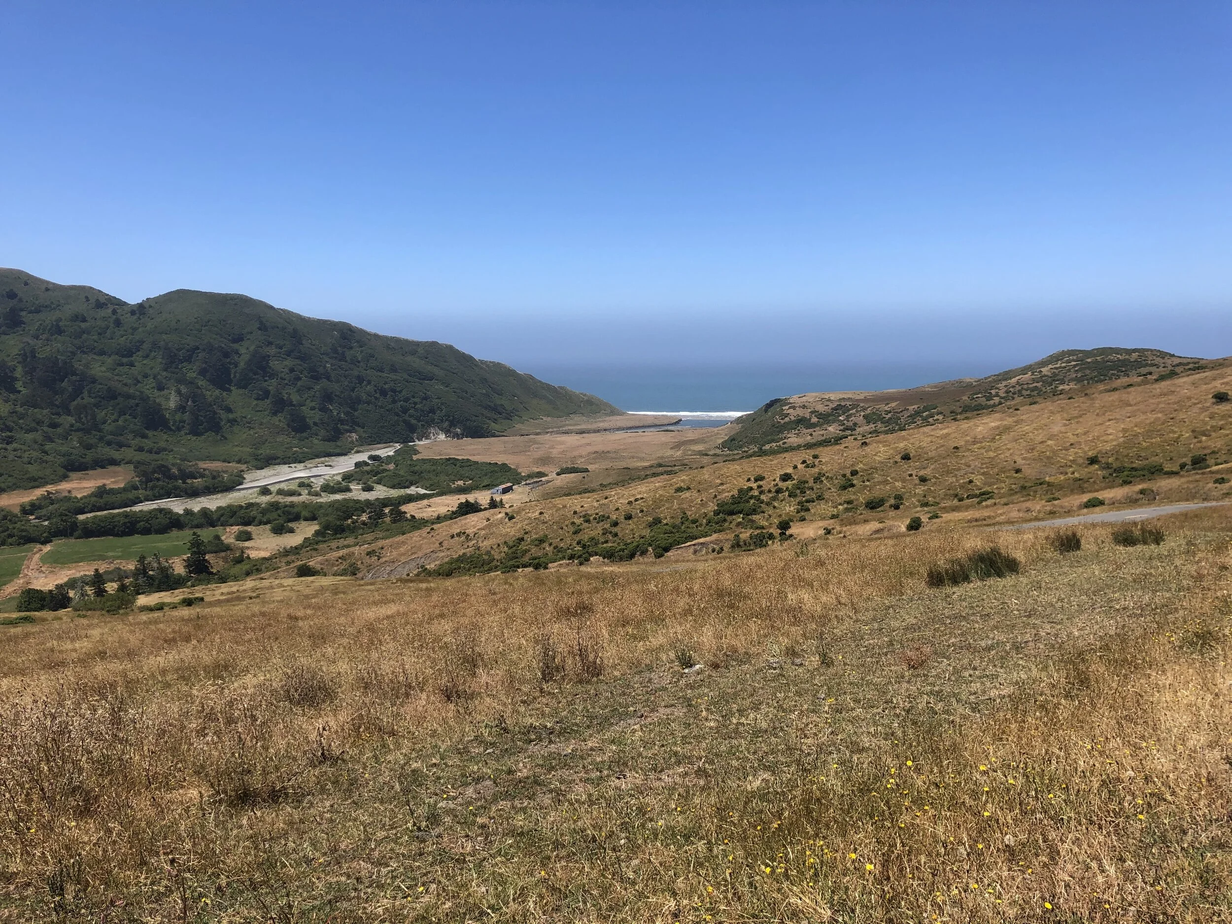
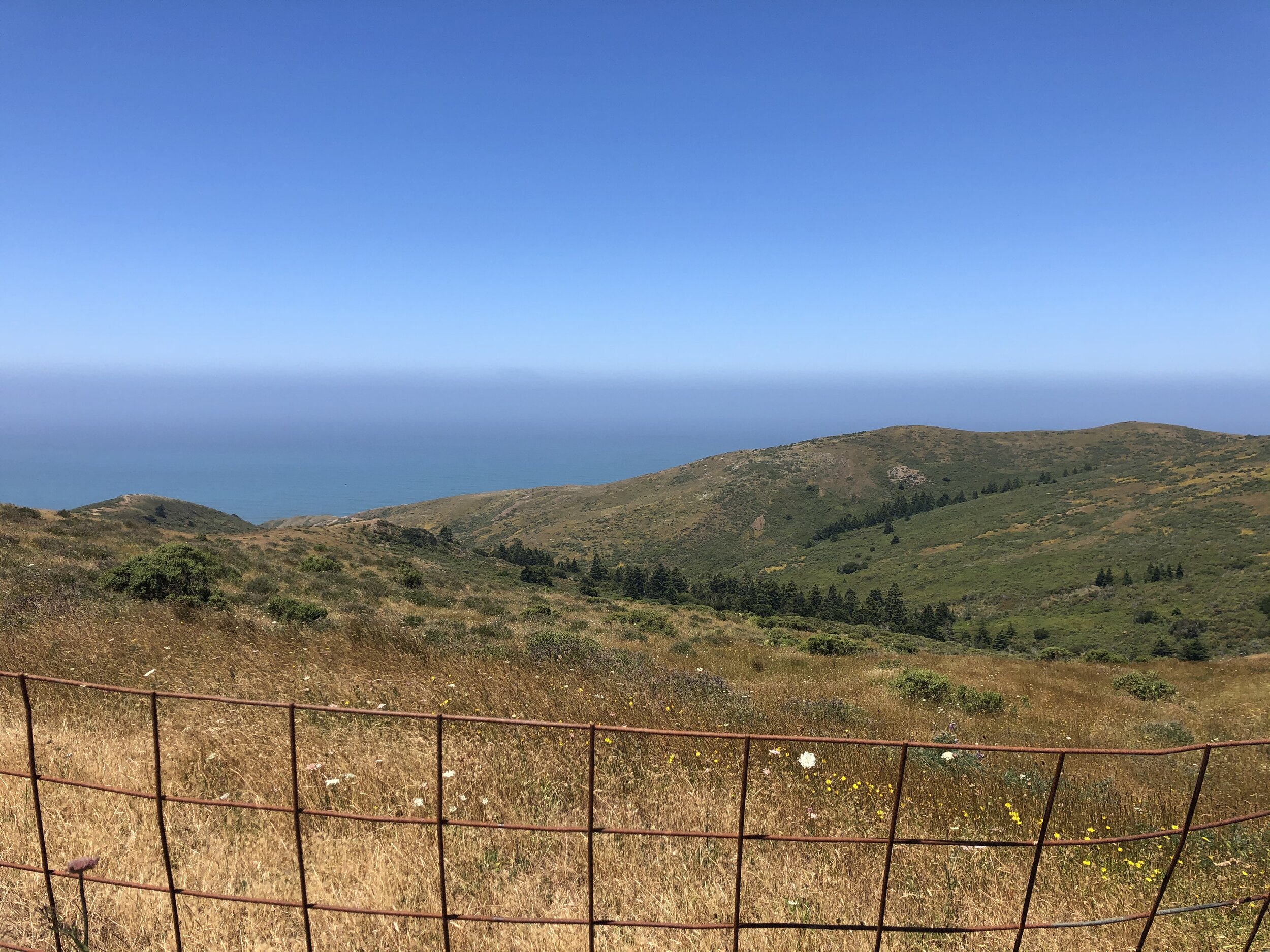
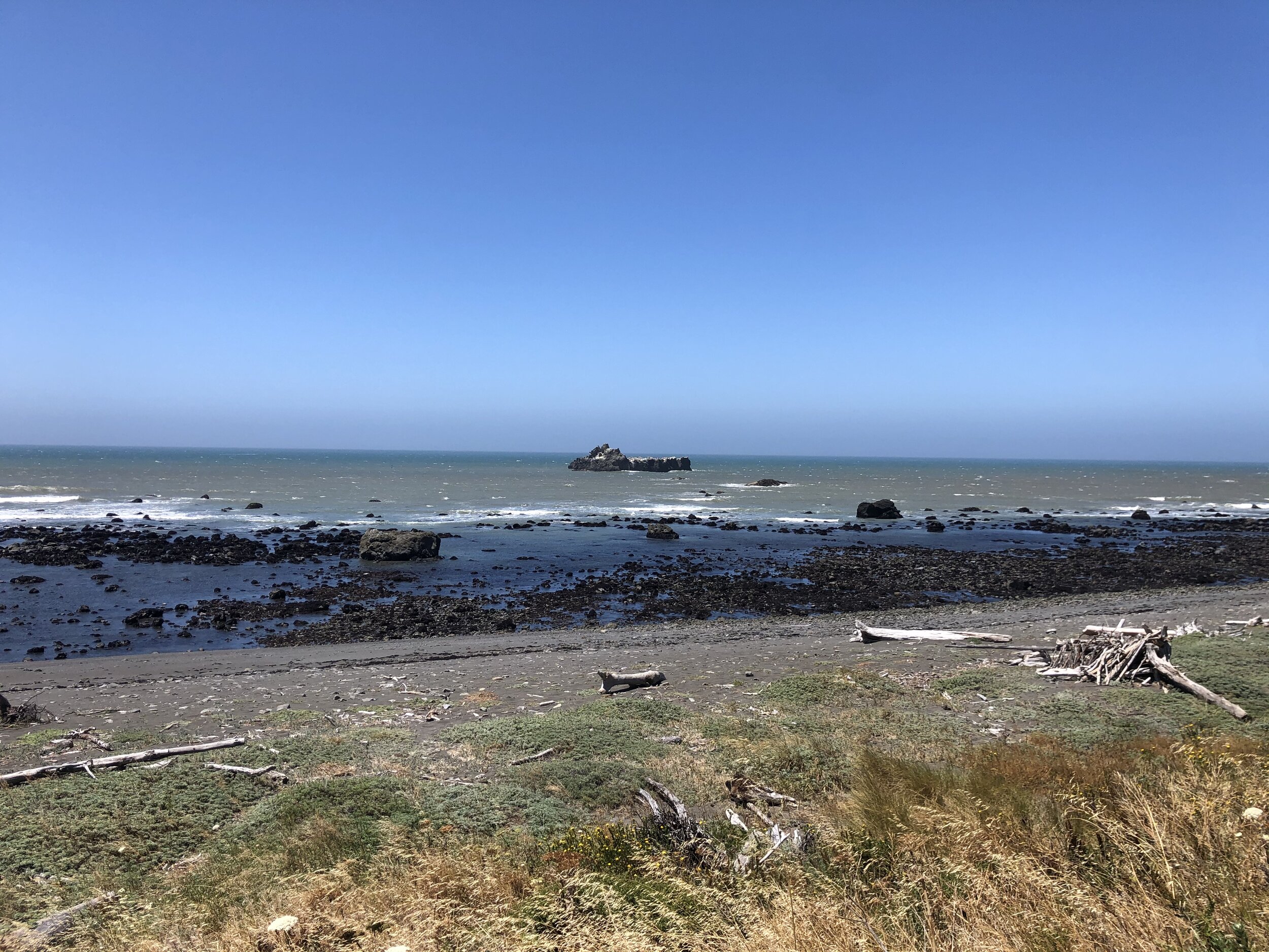
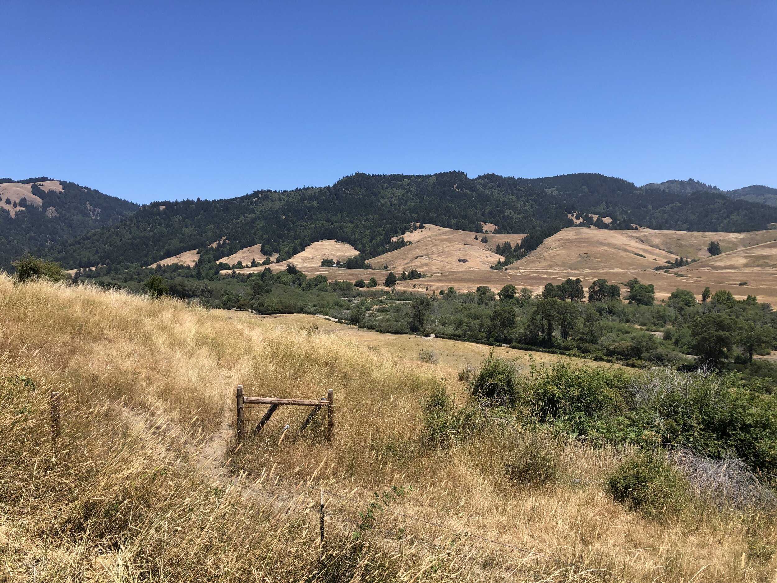
I scoped out some dispersed camping national forest land south of Sedona. We rolled in towards the end of the day and turned left onto a “road” that led to an area large enough for two or three campsites. When I got there, one RV camper was already there. Sometimes, in spots like these, people get annoyed when other campers set up too close. I am cautious of this and try to get as far away from others as possible. I made some dinner, caught the sunset, and turned in for the night. 

IMG_3317.jpg

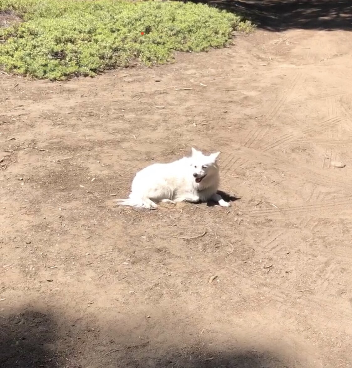
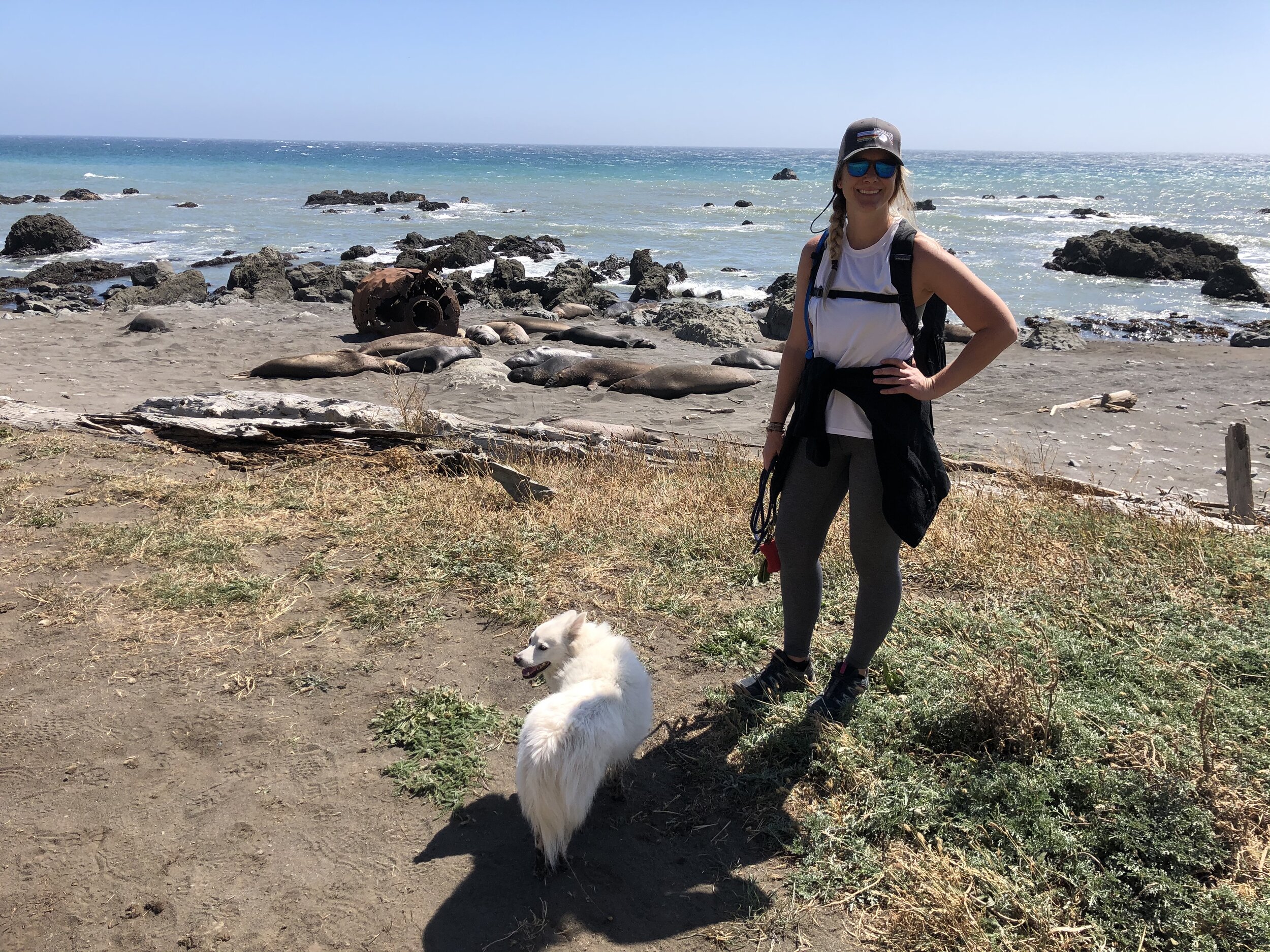
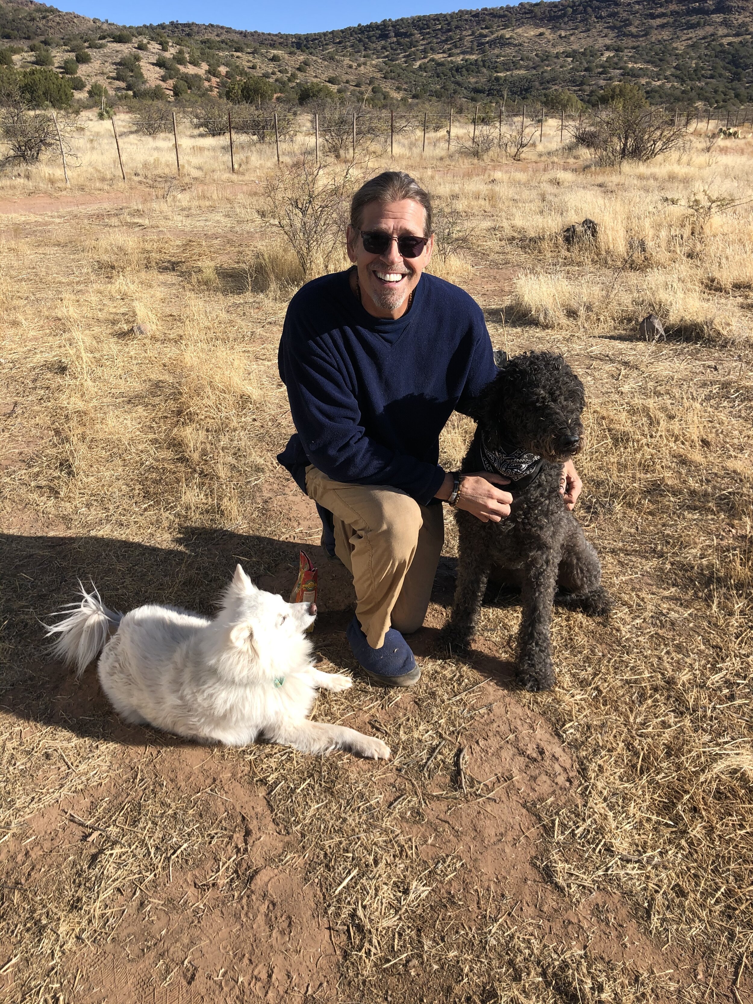
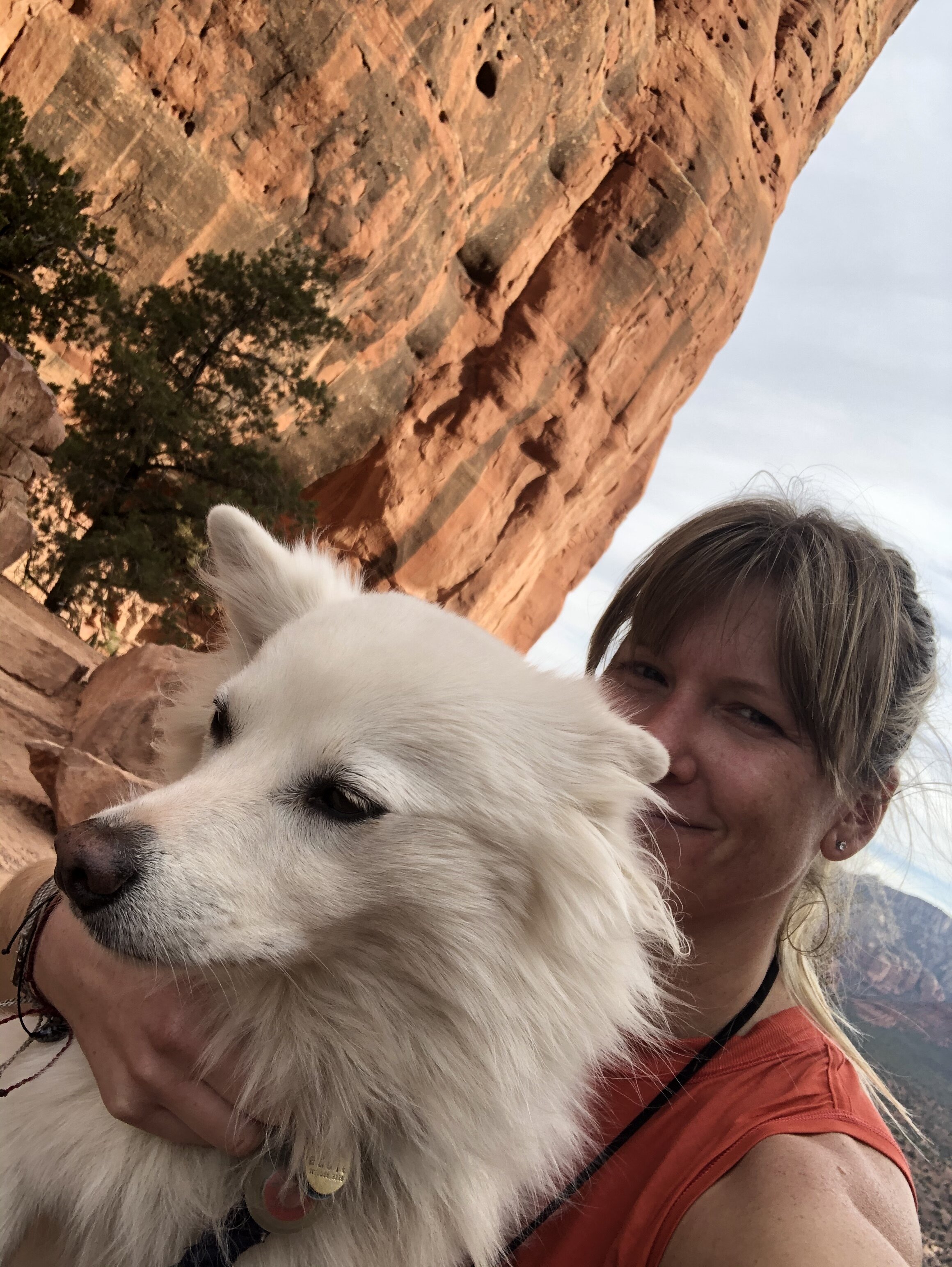
The following morning as Addie and I ventured out of the Airstream and got moving, a dog from the other campsite came running over to say hi. I swear this dog looked familiar. His owner was outside walking toward us, and I asked him for the dog’s name. He said, “Bella.” The name was familiar, and so was the man’s voice.

“Michael?” I said, squinting my eyes to see him.

“Sarah?” he responded as he continued to walk toward us.

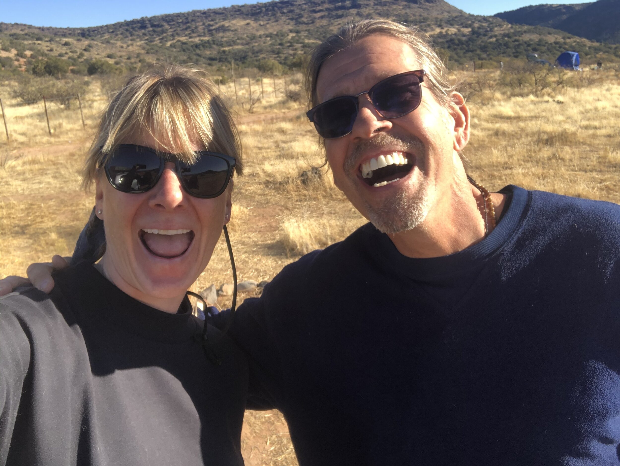
Holy moly. It was my hiking buddy, Michael, who I met on a trailhead in New Mexico. We hiked that entire day together and since then had exchanged a few emails. What are the chances?

We smiled, laughed, embraced, and shared disbelief. Of all the states, areas, dispersed camping places, and roads in given camping places, we both chose the same one, at the same time. We caught up a bit and made plans to go for a hike with the dogs the following day. I was contemplating leaving this camping area, but I decided to stick around since Michael was there.

IMG_3452.jpg
IMG_3456.jpg

I made my way to town (West Sedona) for some housekeeping - laundry, groceries, etc. In the afternoon, Addie and I ventured to Uptown Sedona to do the touristy walk-around. It was exceptionally crowded the weekend I was there. The town is cute but catered to tourists. We sat on the patio of a Mexican restaurant, enjoyed a margarita, and people-watched. 

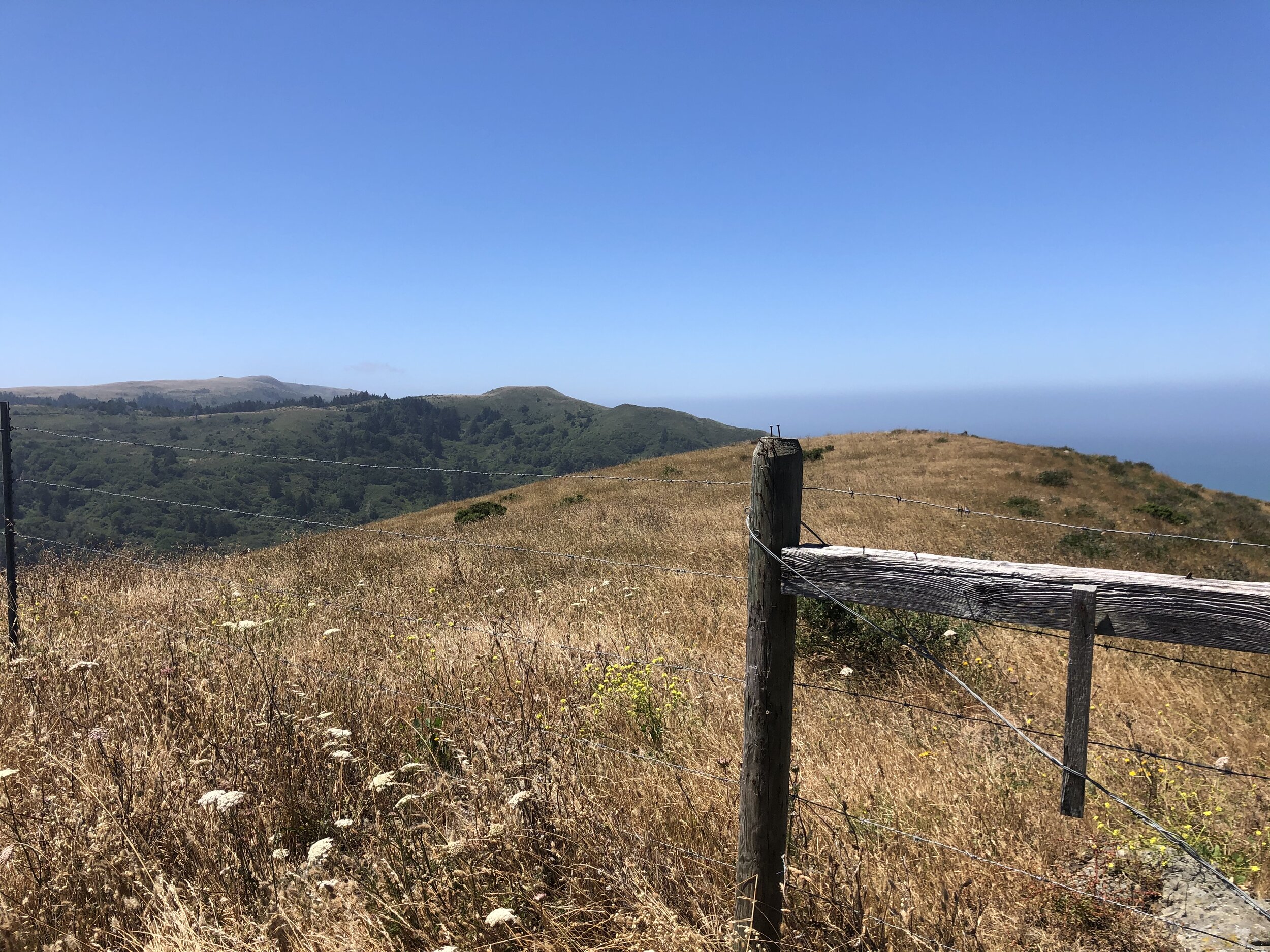
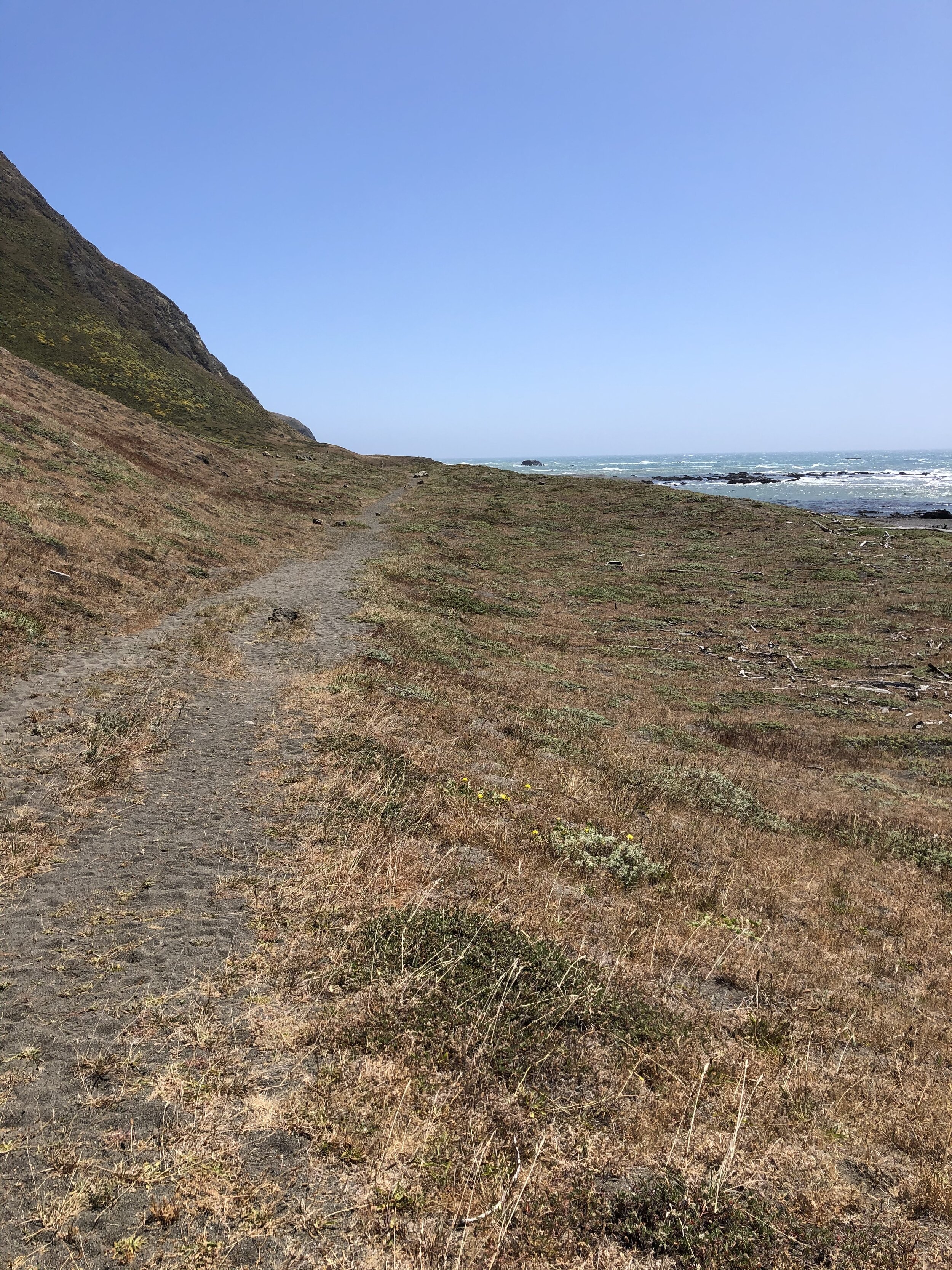
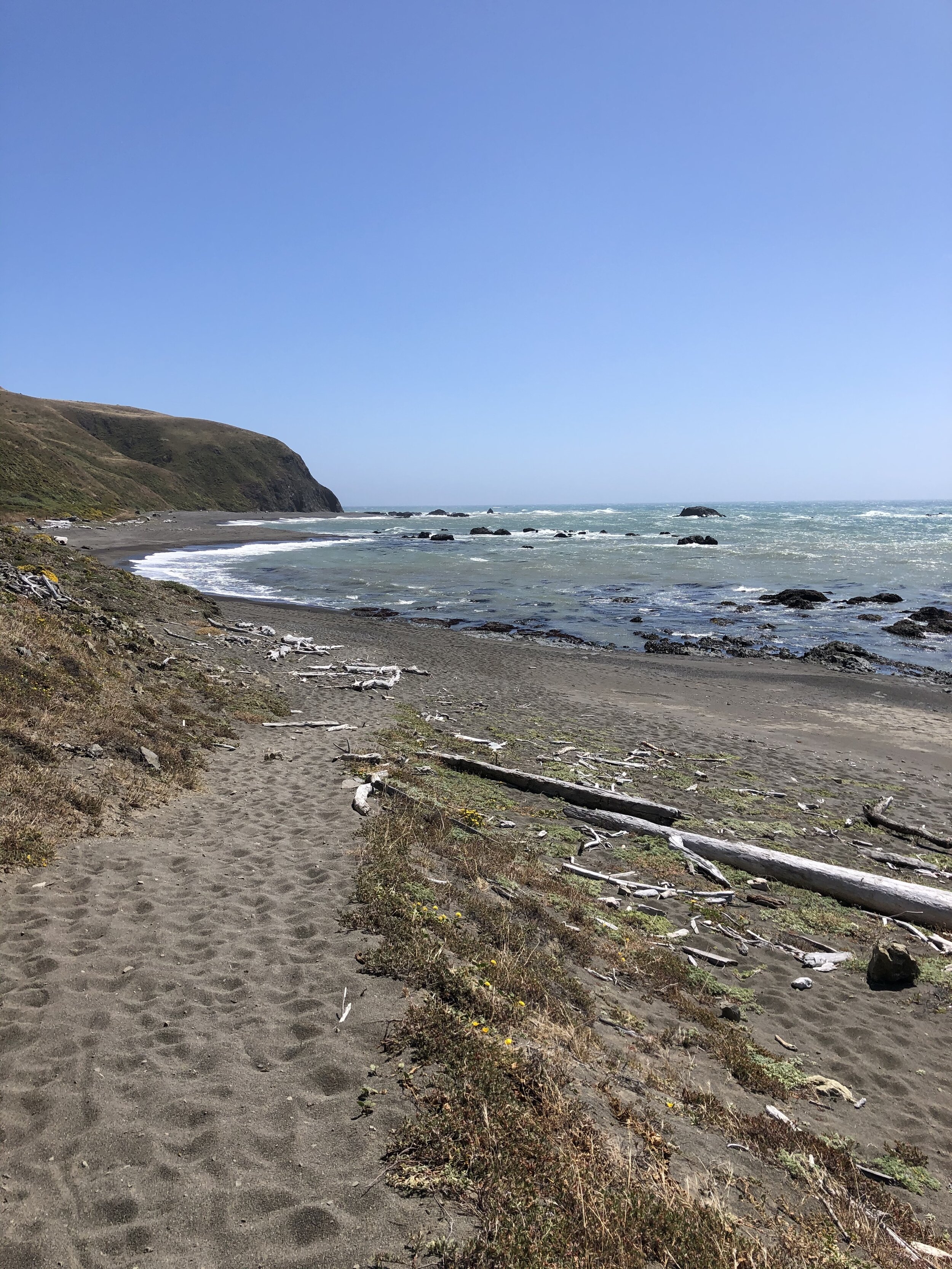
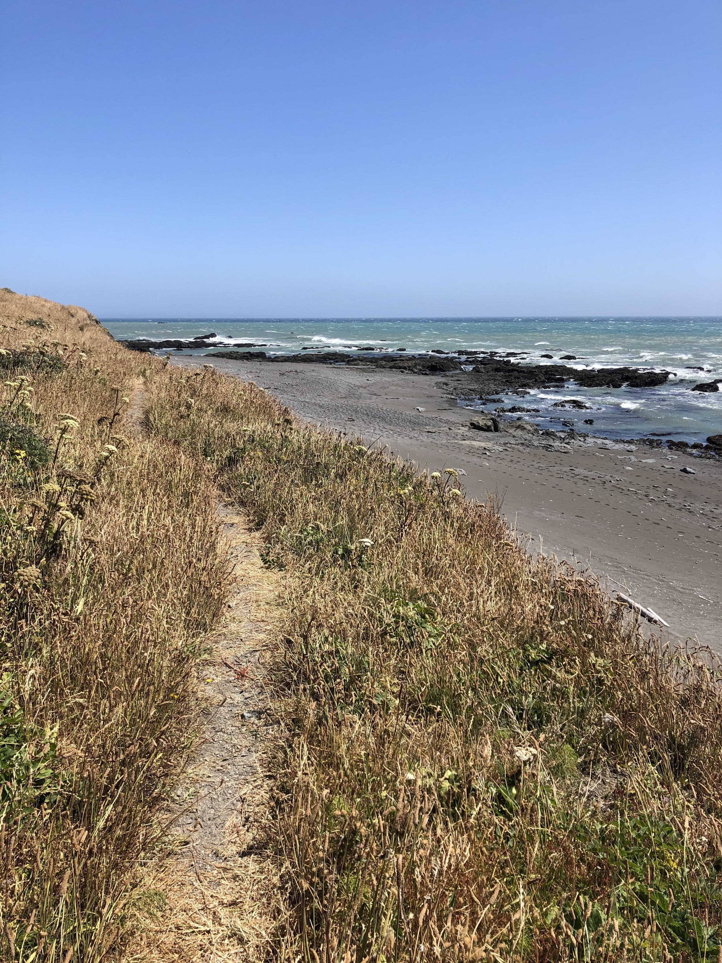
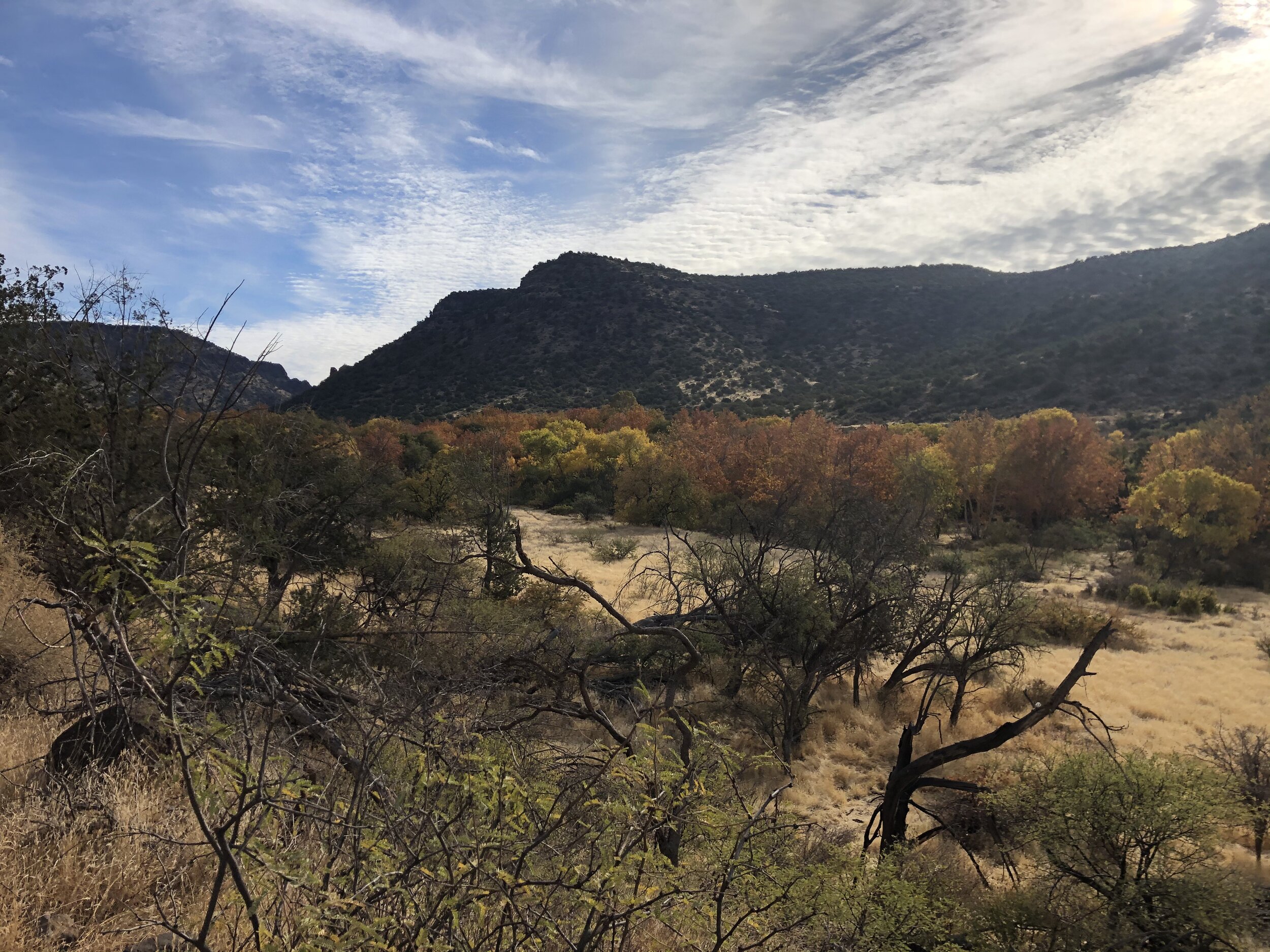
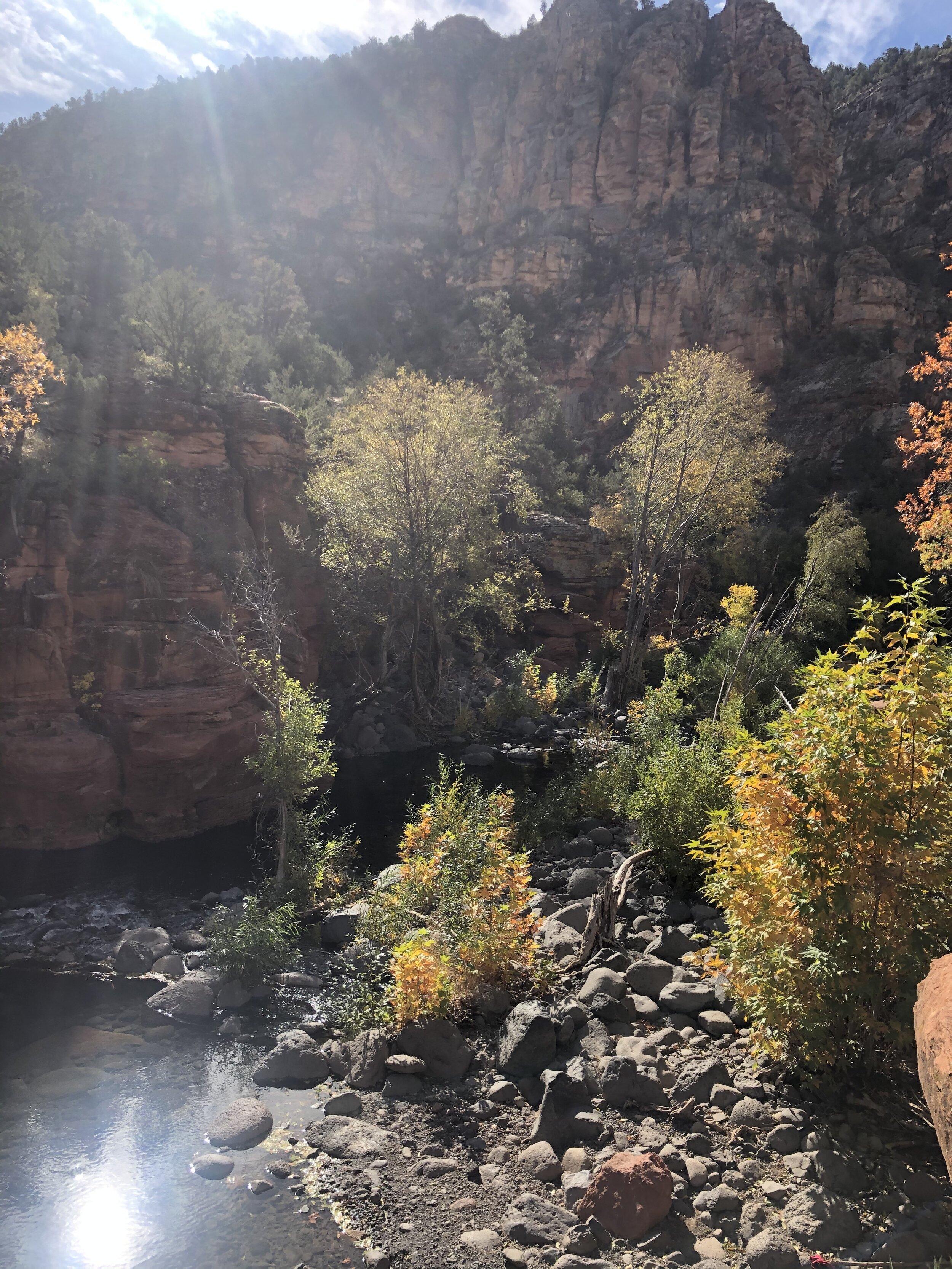
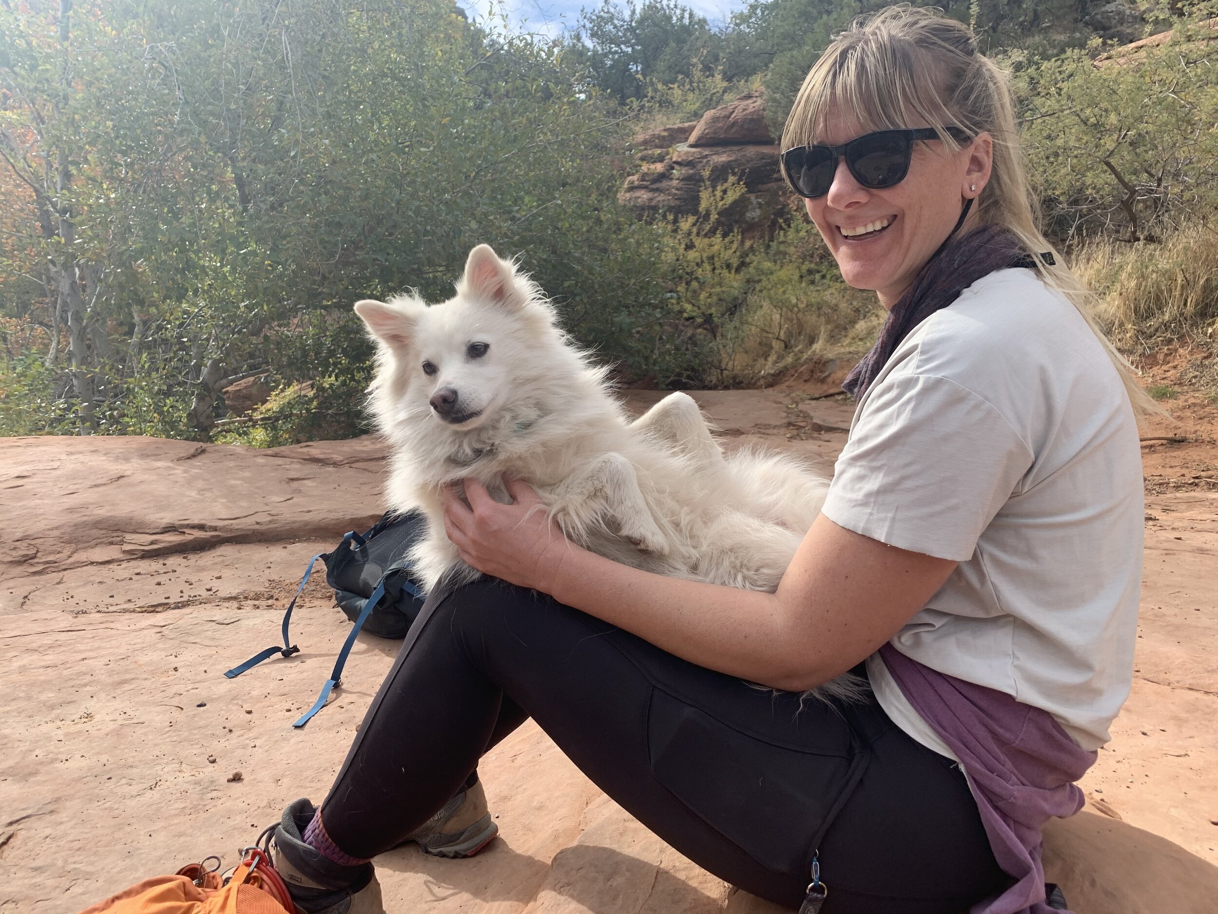
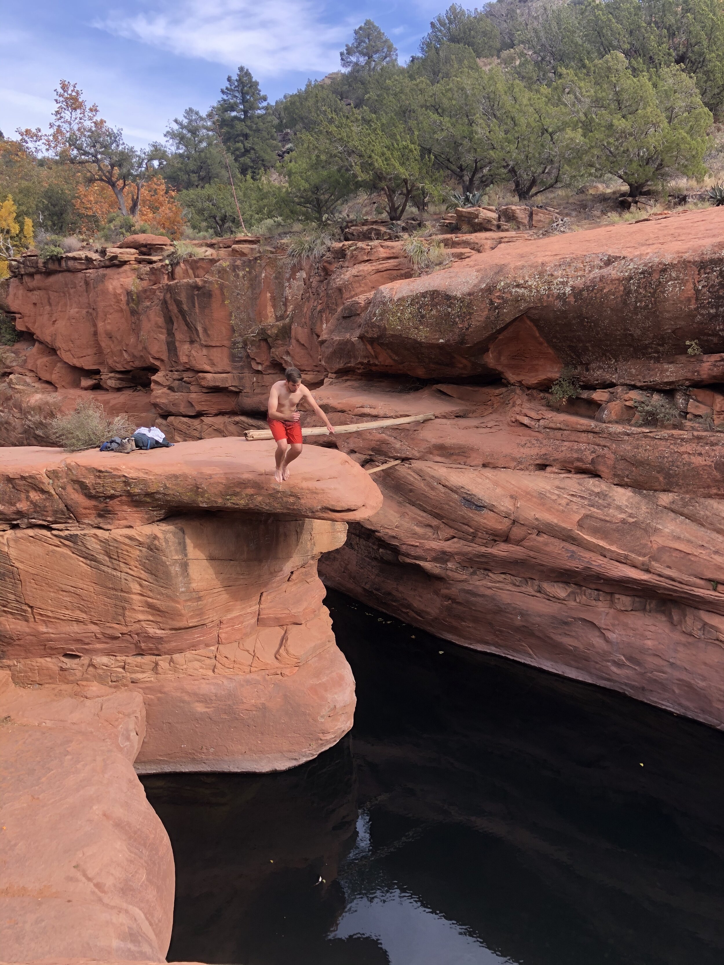
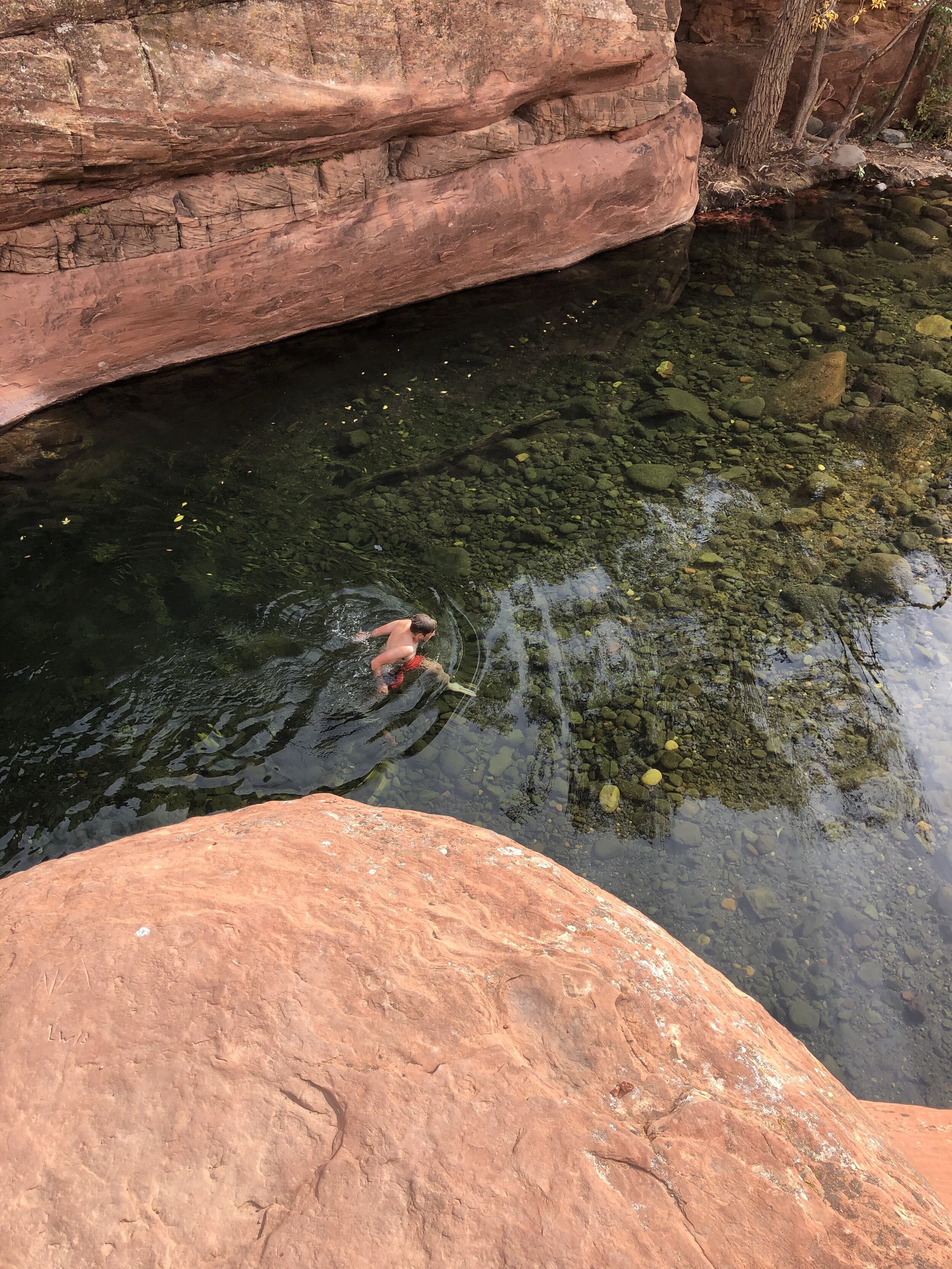
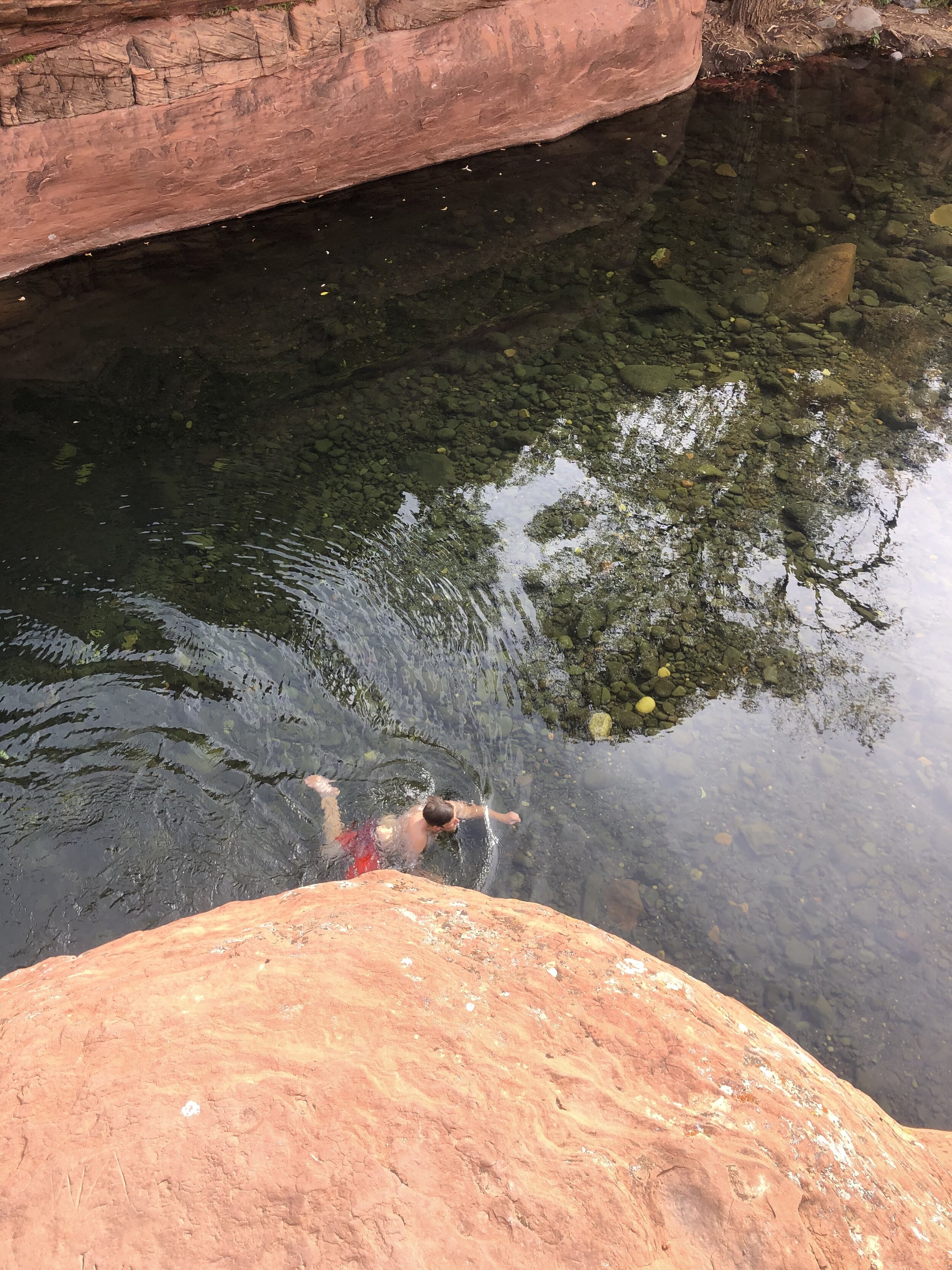
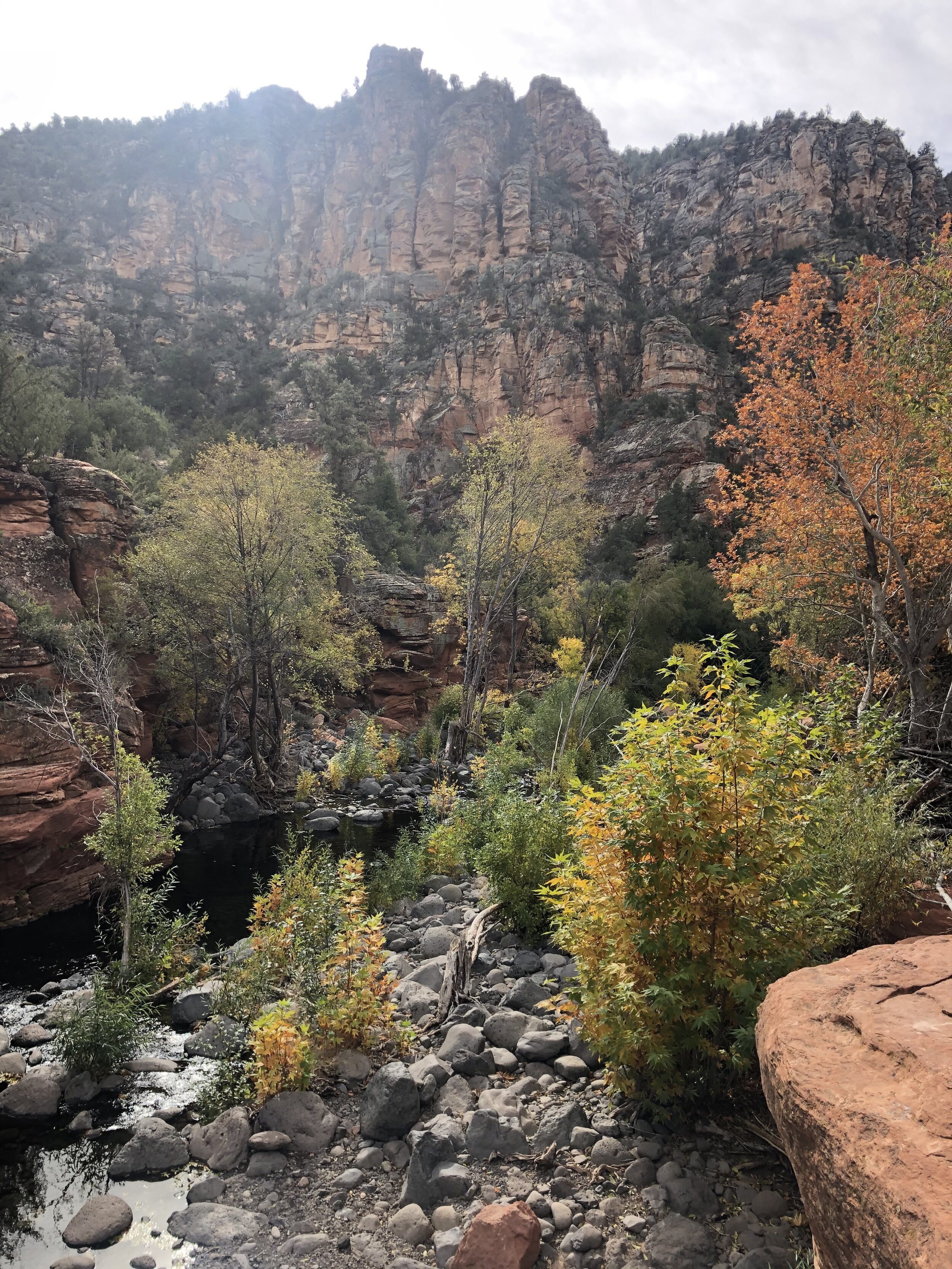
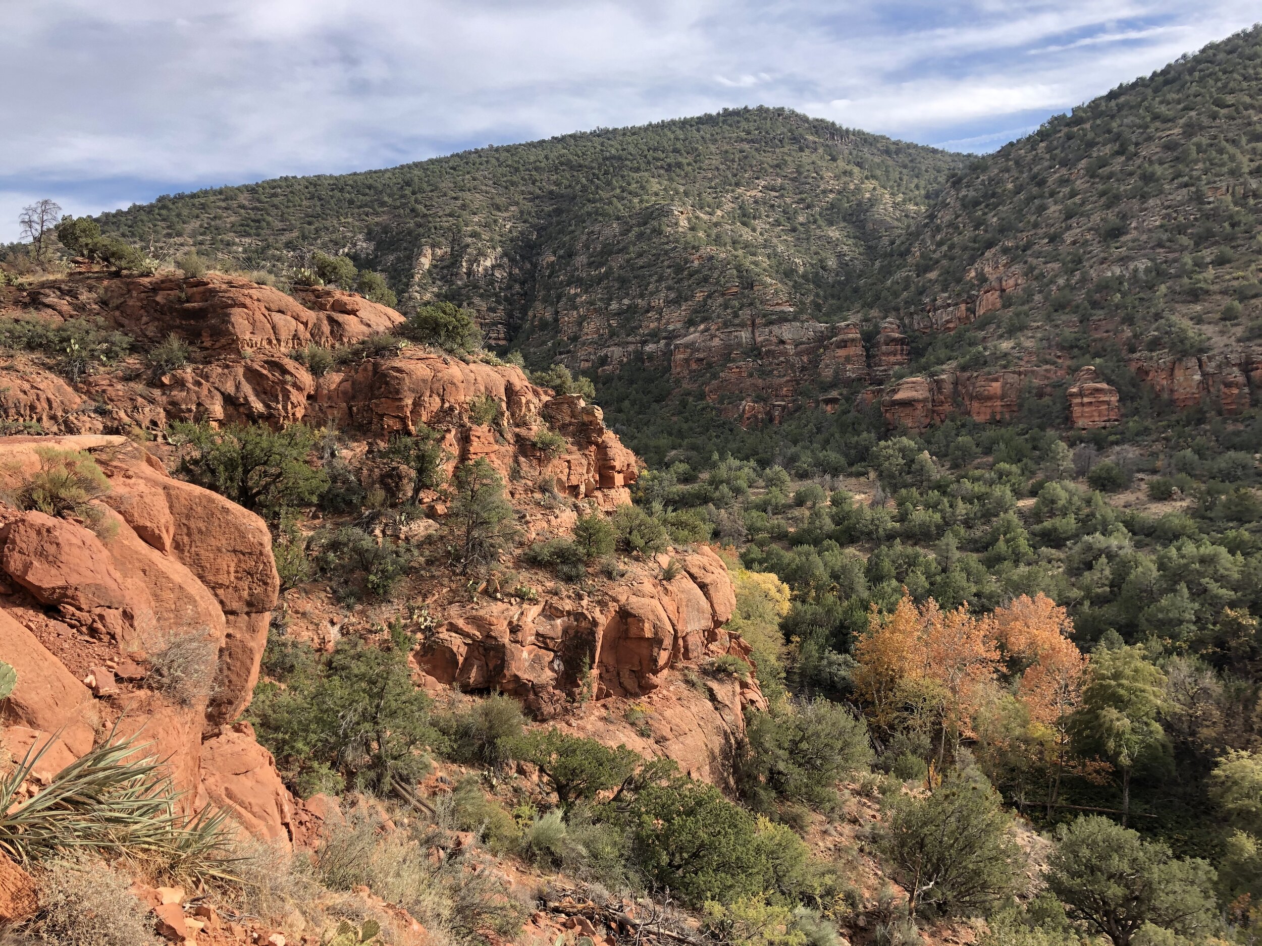
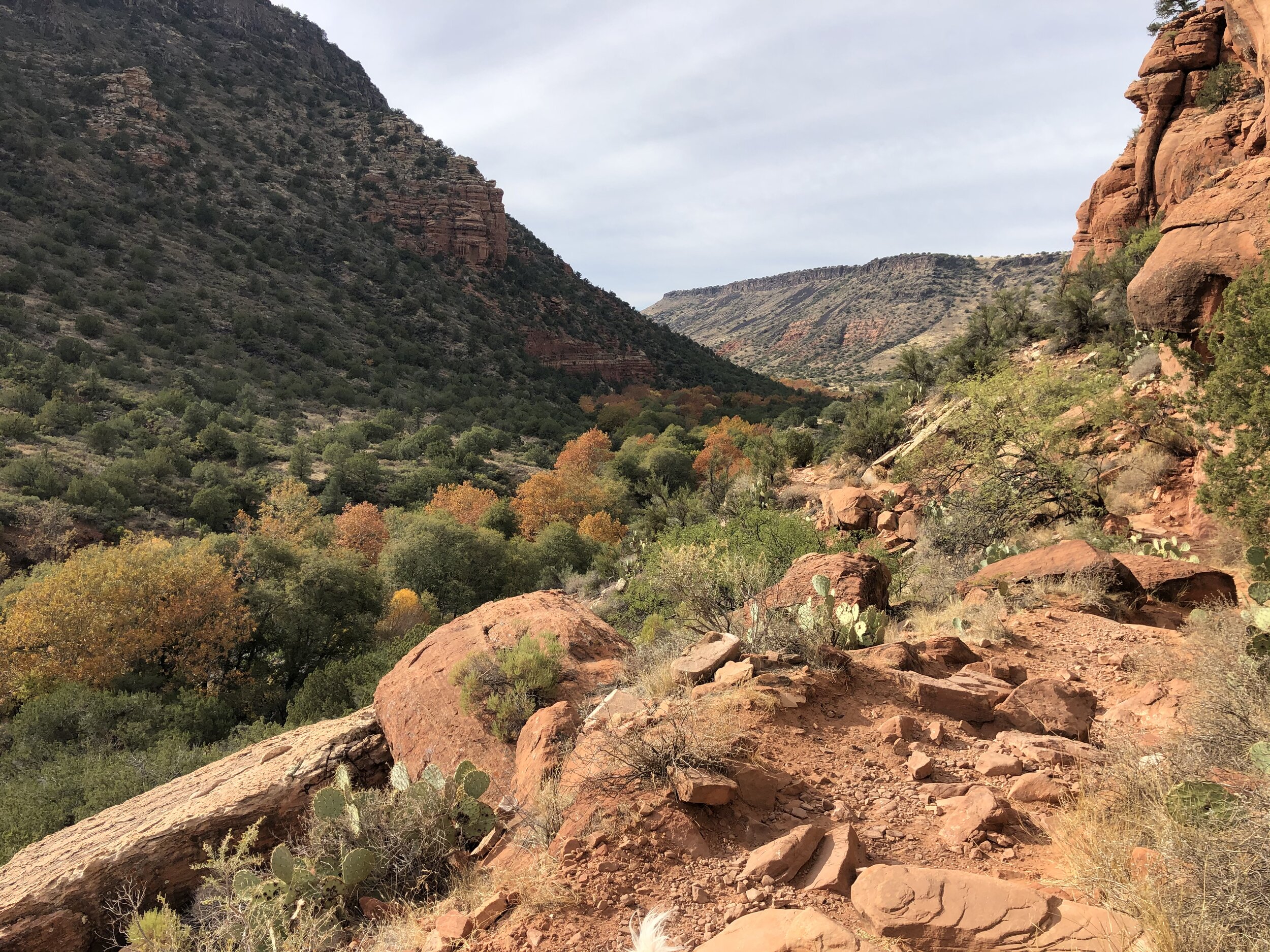
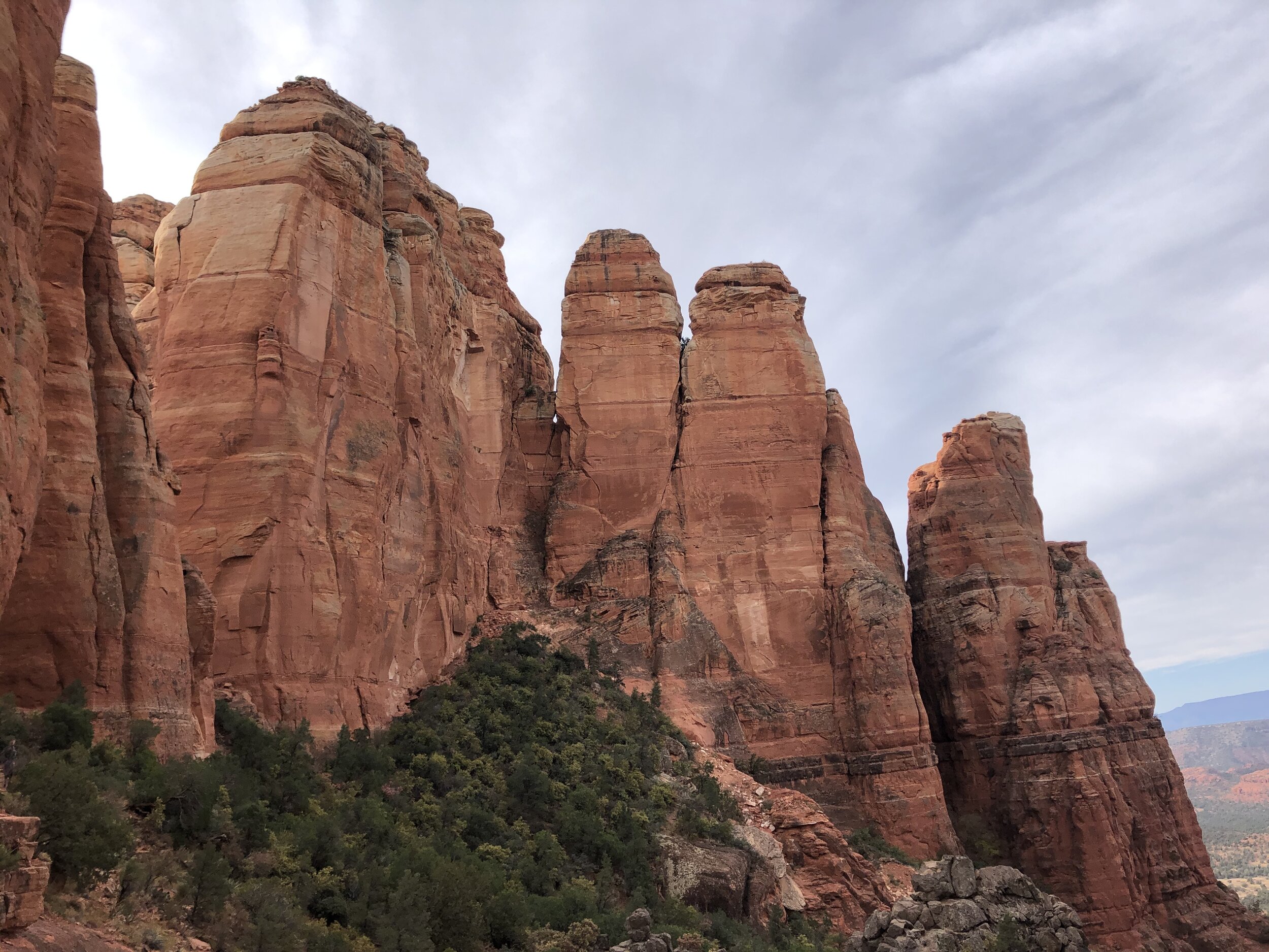
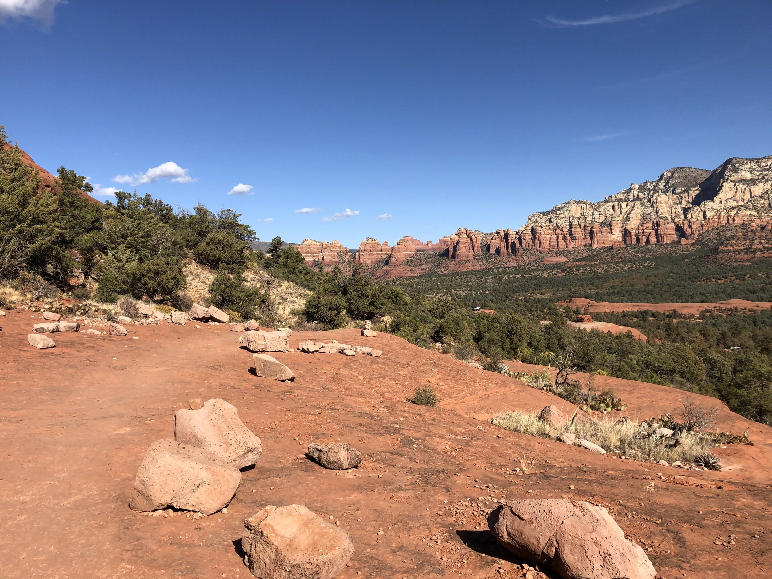
Michael and I met the following morning for our hike on Bell Trail in the Coconino National Forest. Conveniently, the trail was only a few miles from where we were camping. We chatted the entire 3.5 miles until rewarded with a stunning red rock canyon with ledges overlooking a clear water creek. We found a ridge on which to sit down, have a snack, and relax. 

When I solo hike, I usually don’t do a very good job of taking my time and taking it all in. This time, though, Michael and I hung out on this ledge for a few hours - meeting and chatting with others who came through, watching people jump into the water, and just being silent. It was a very memorable moment and one on which I will certainly reflect.

IMG_3322.jpg
IMG_3323.jpg
IMG_3325.jpg
IMG_3327.jpg
IMG_2079.jpeg
IMG_3326.jpg
IMG_3334.jpg
IMG_3360.jpg
IMG_3336.jpg
IMG_3345.jpg
IMG_3371.jpg
IMG_3372.jpg
IMG_3373.jpg
IMG_3375.jpg
IMG_3322.jpg IMG_3323.jpg IMG_3325.jpg IMG_3327.jpg IMG_2079.jpeg IMG_3326.jpg IMG_3334.jpg IMG_3360.jpg IMG_3336.jpg IMG_3345.jpg IMG_3371.jpg IMG_3372.jpg IMG_3373.jpg IMG_3375.jpg

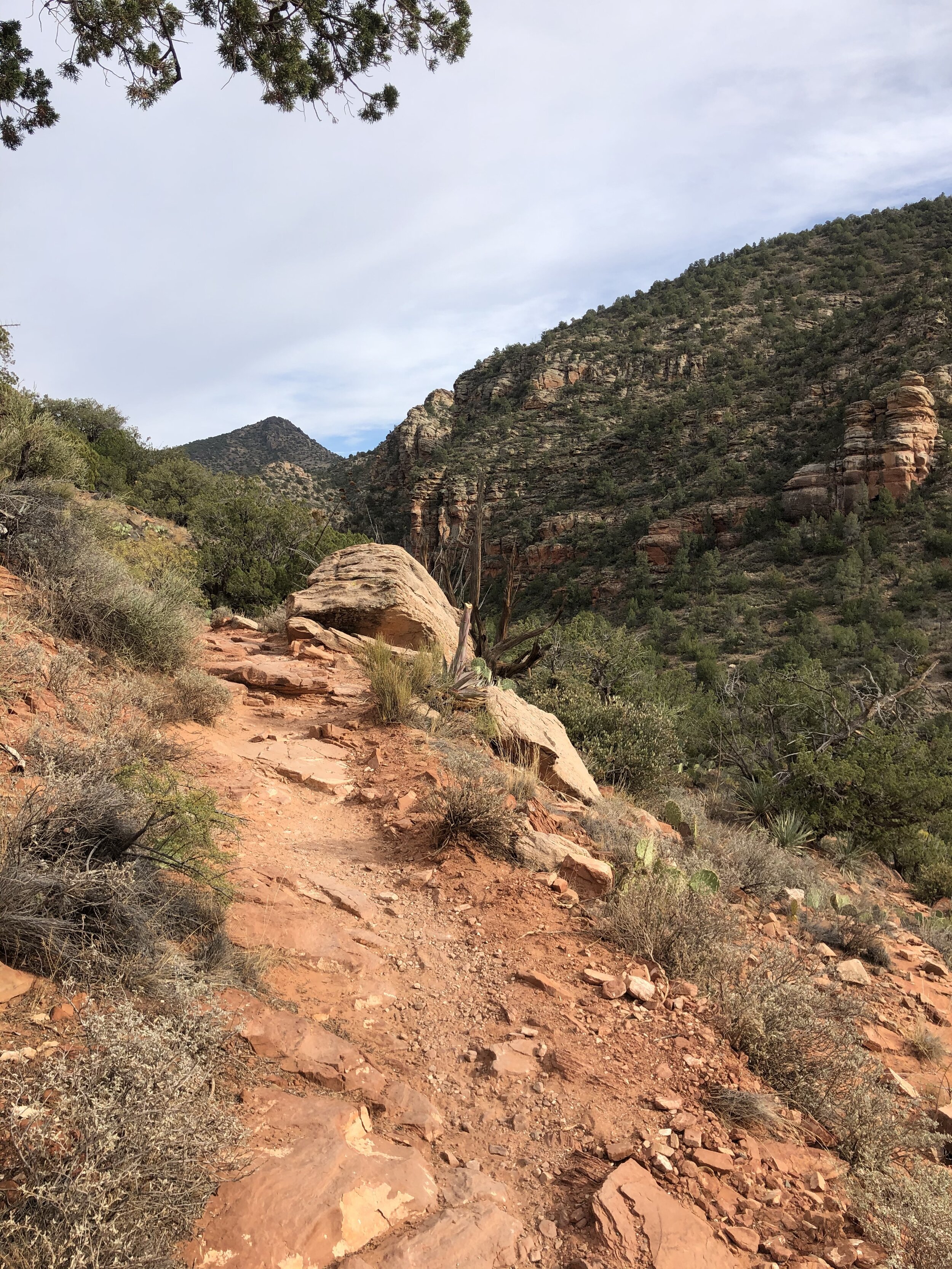
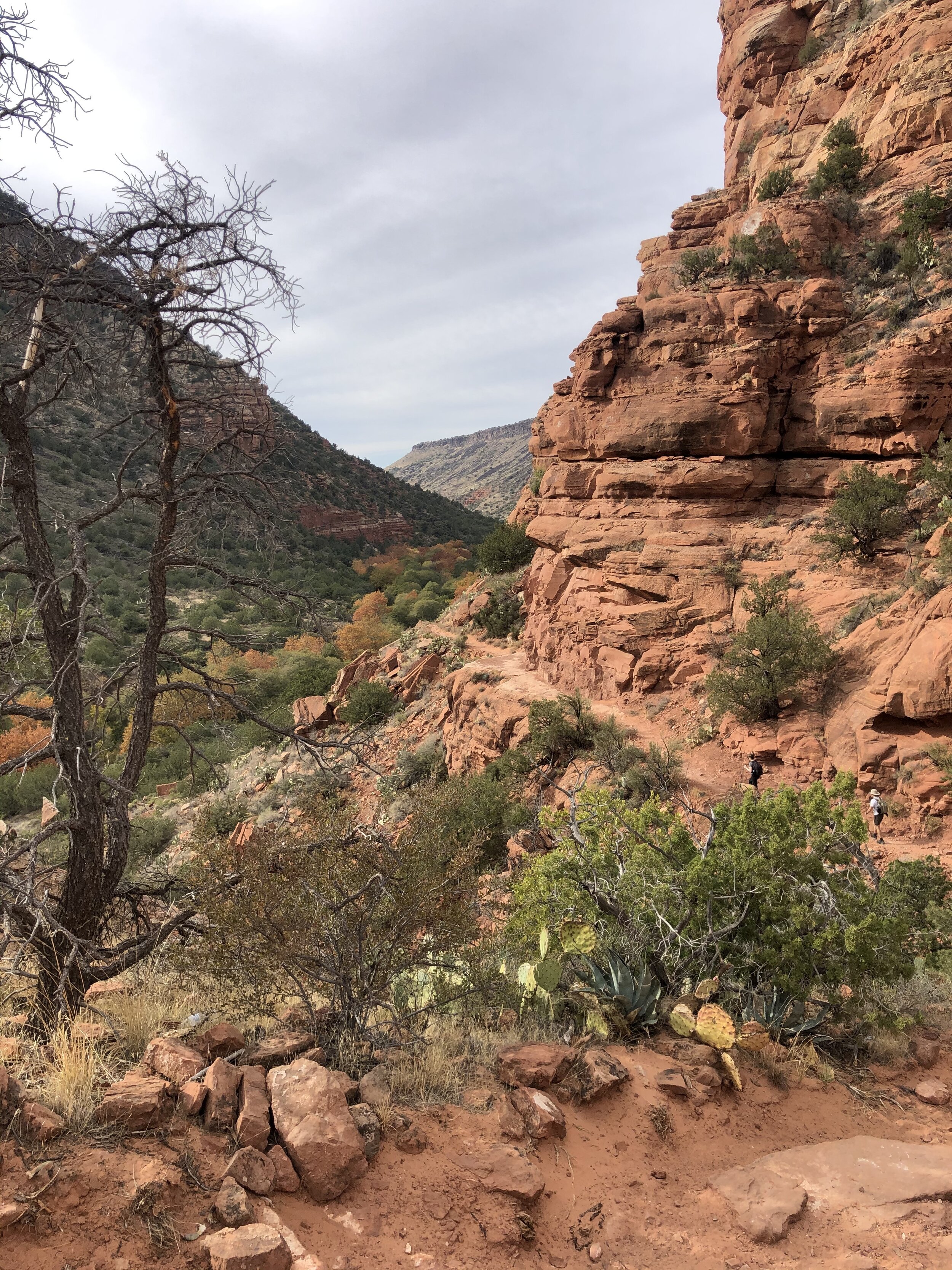
There were other, more renowned trails that I wanted to check out the next day. I knew these trails would have crowds, so I got an early start.

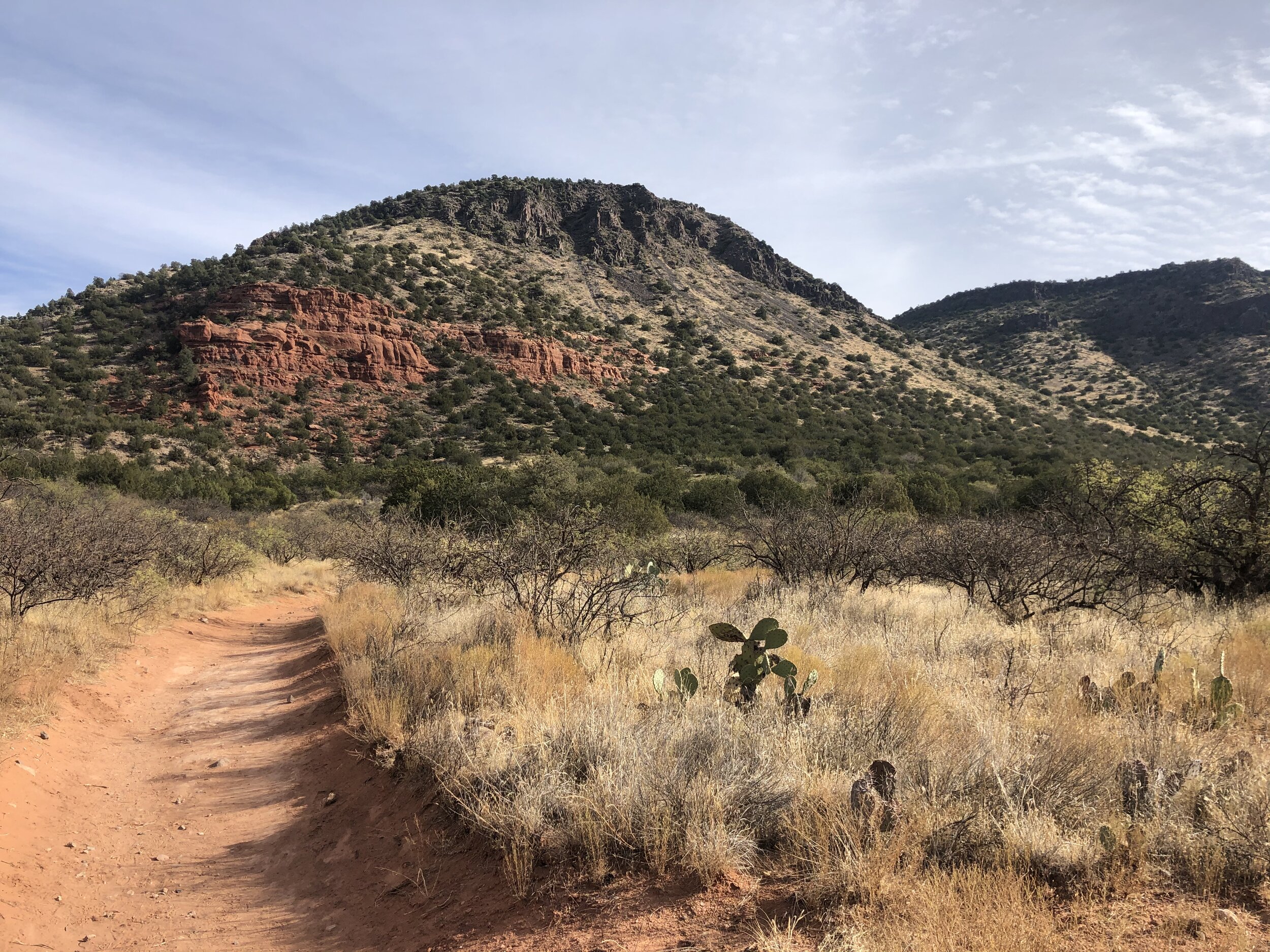
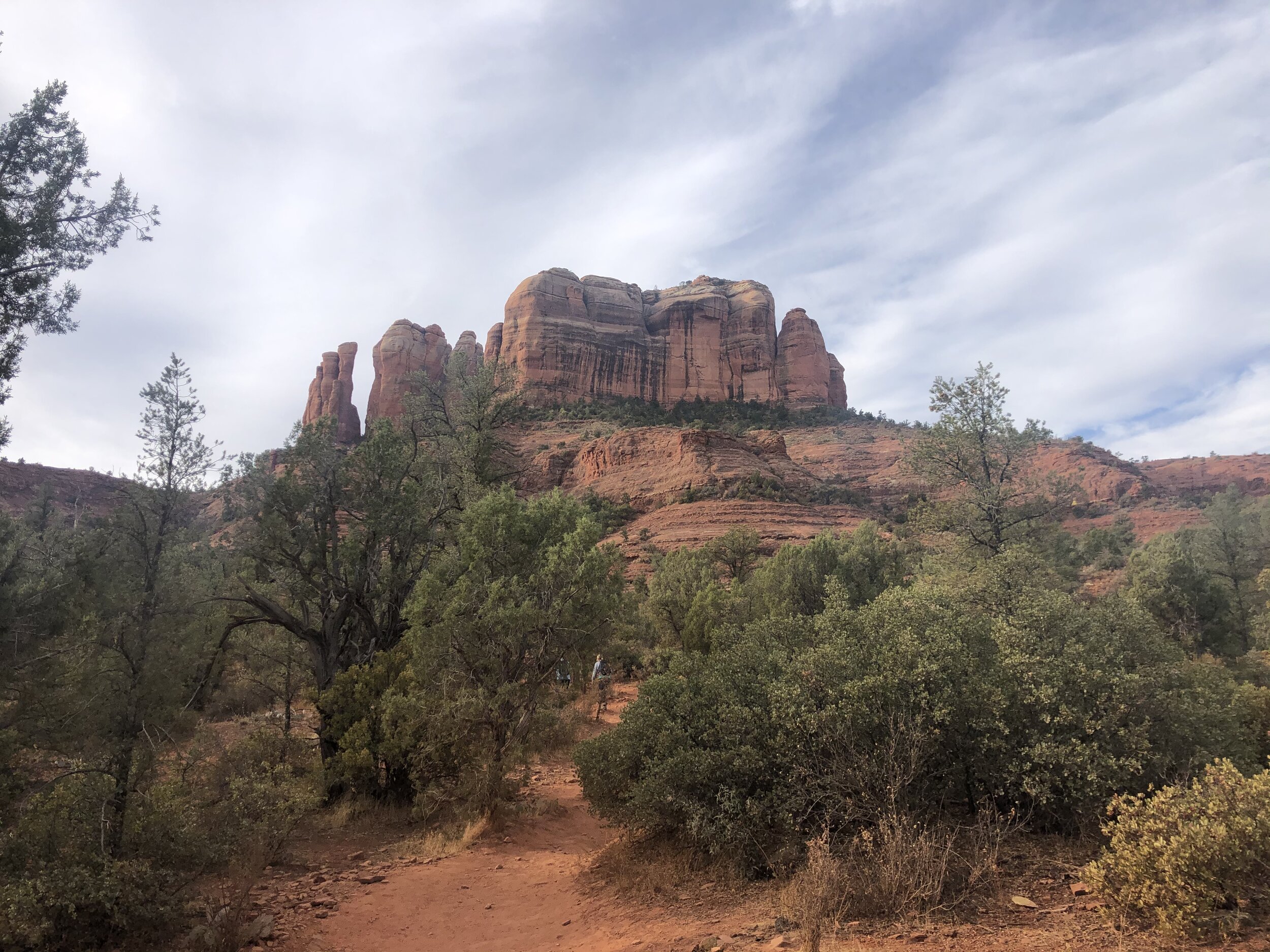
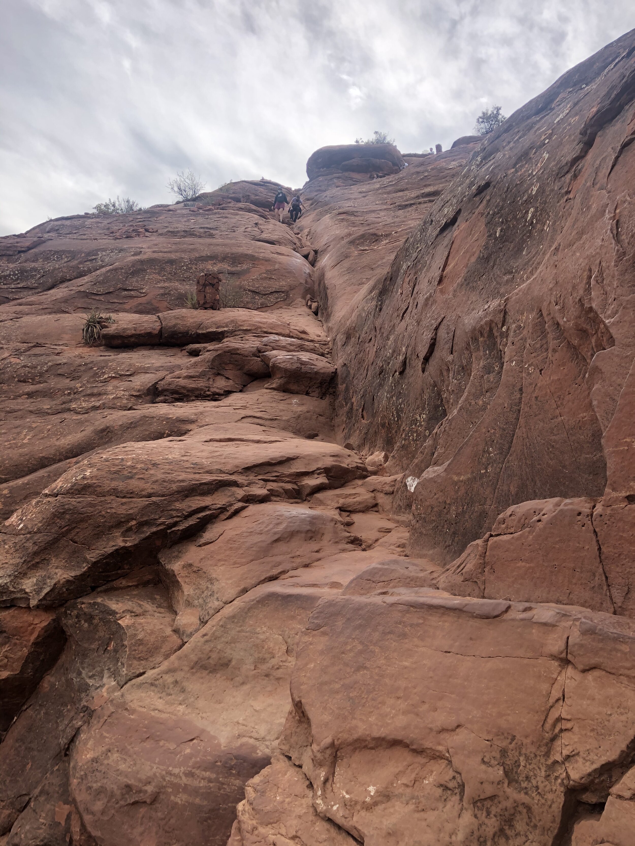
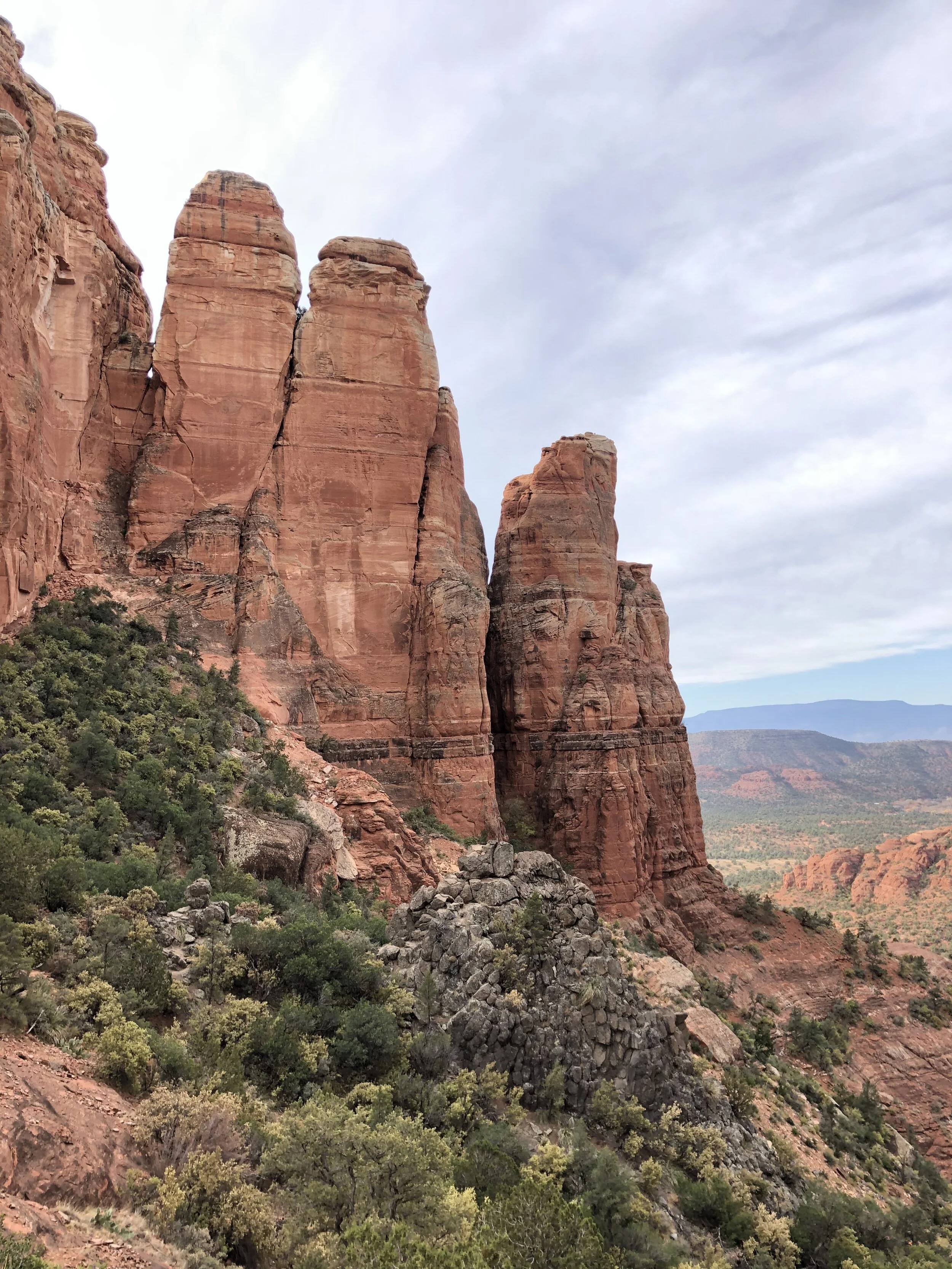
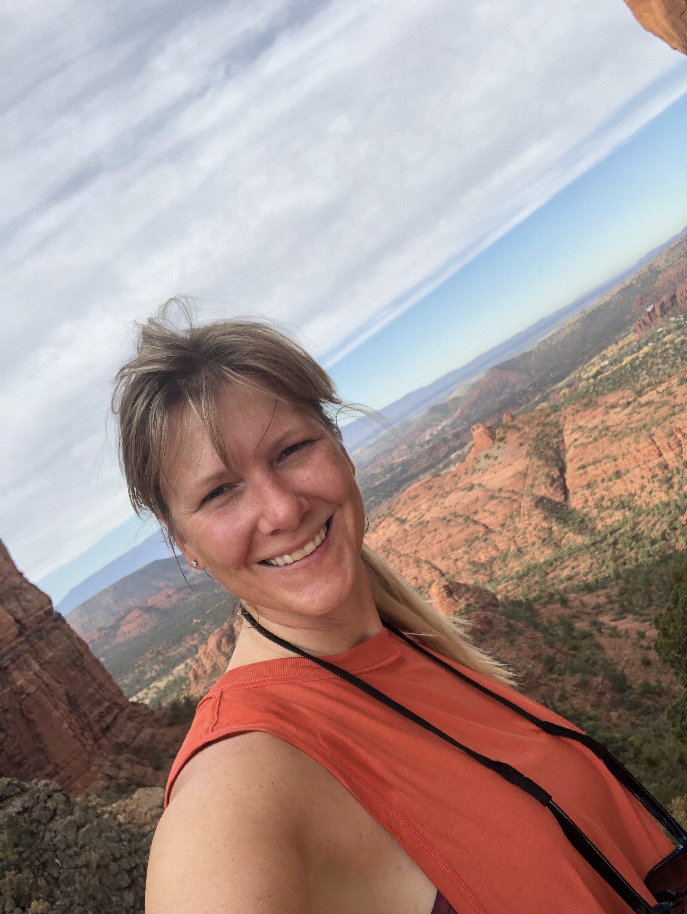
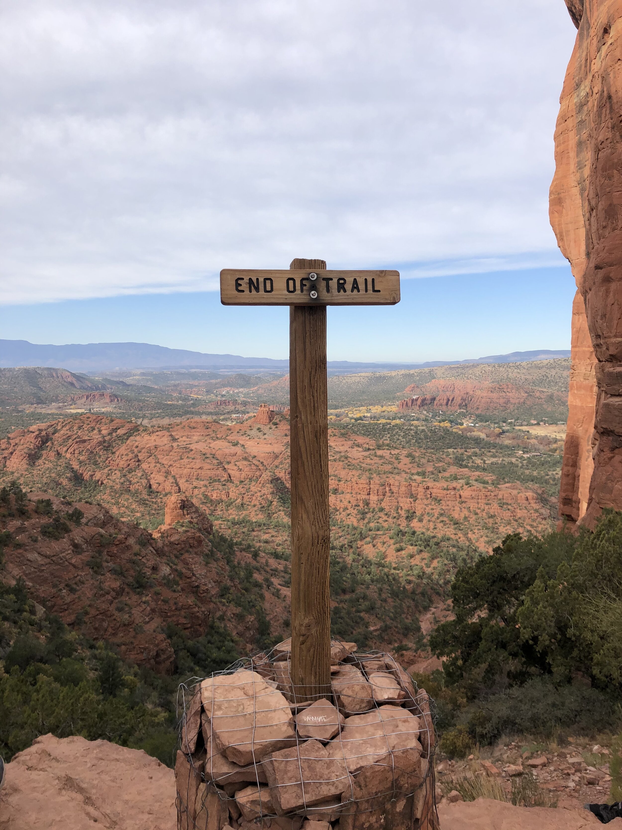
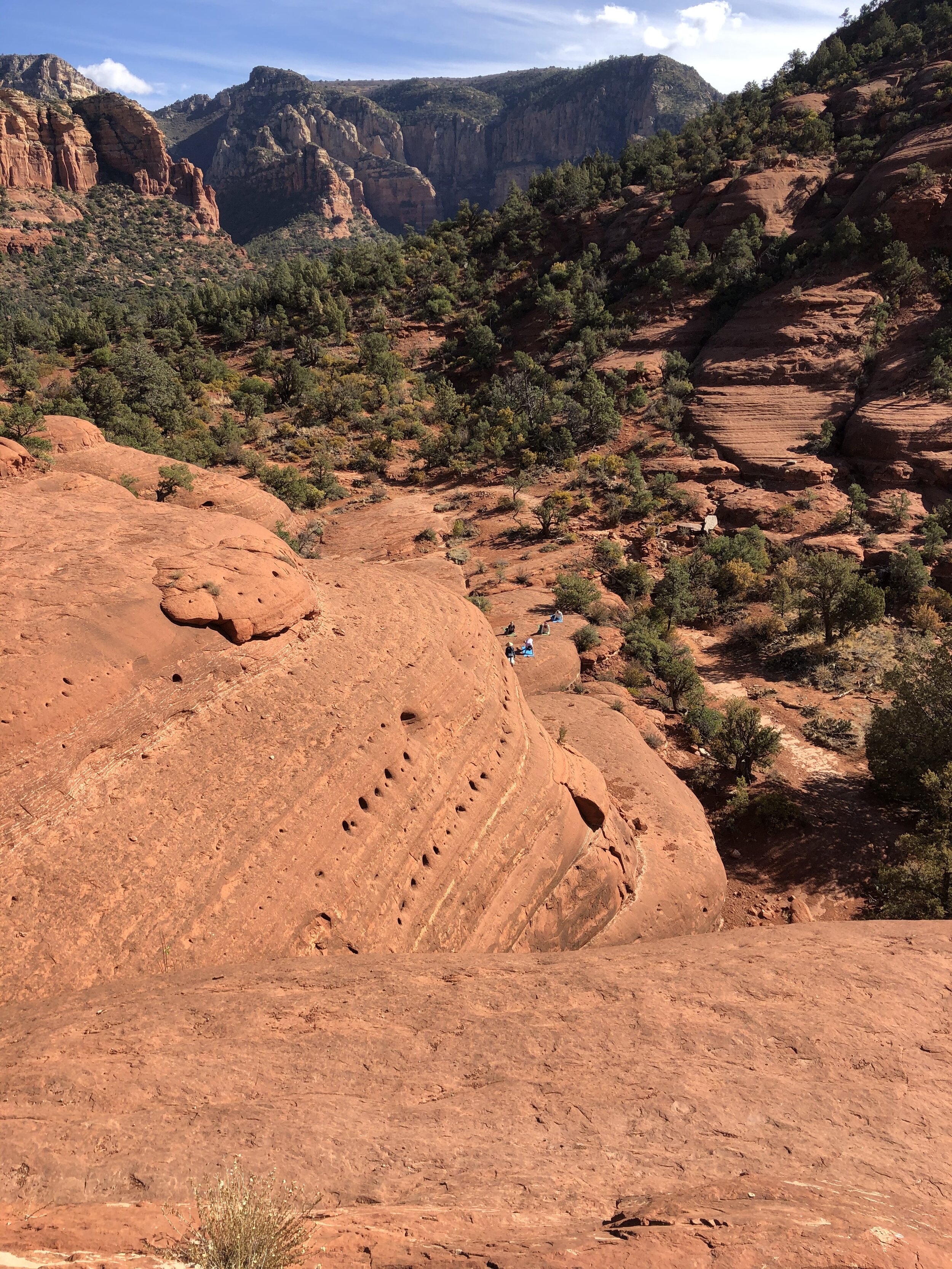
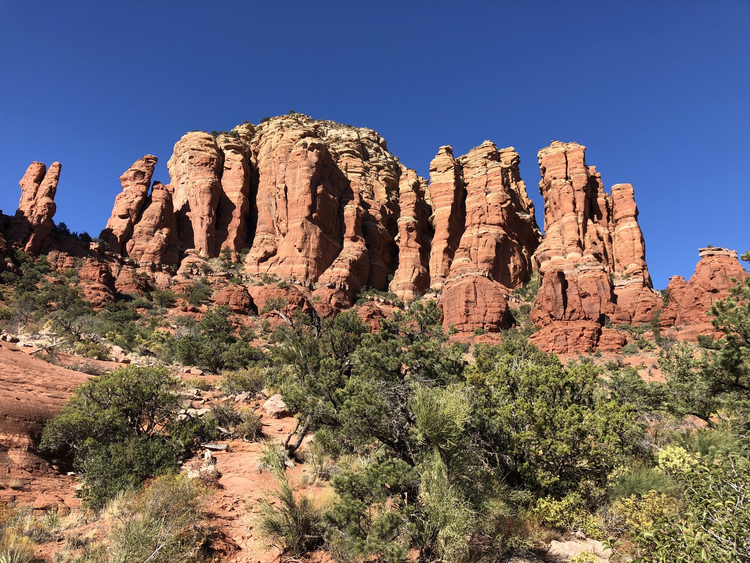
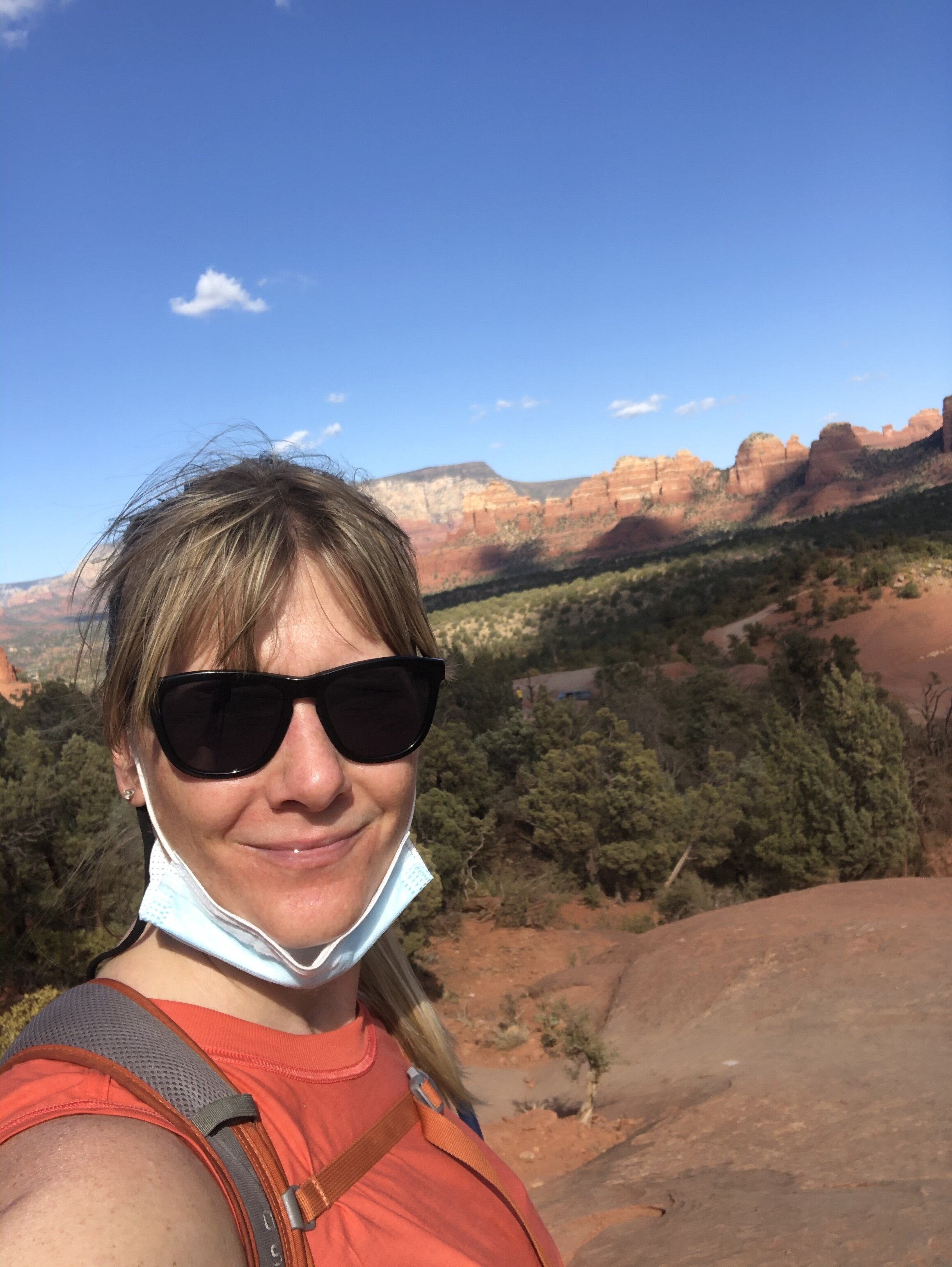
I kicked off with Cathedral Rock Trail. I arrived at the trailhead around 8 am, but the parking lot was full. Street parking was limited, but I got lucky and found someone leaving, so I snuck in his spot when I saw him getting out (I have no idea what time he got there if he was already done by 8 am!).

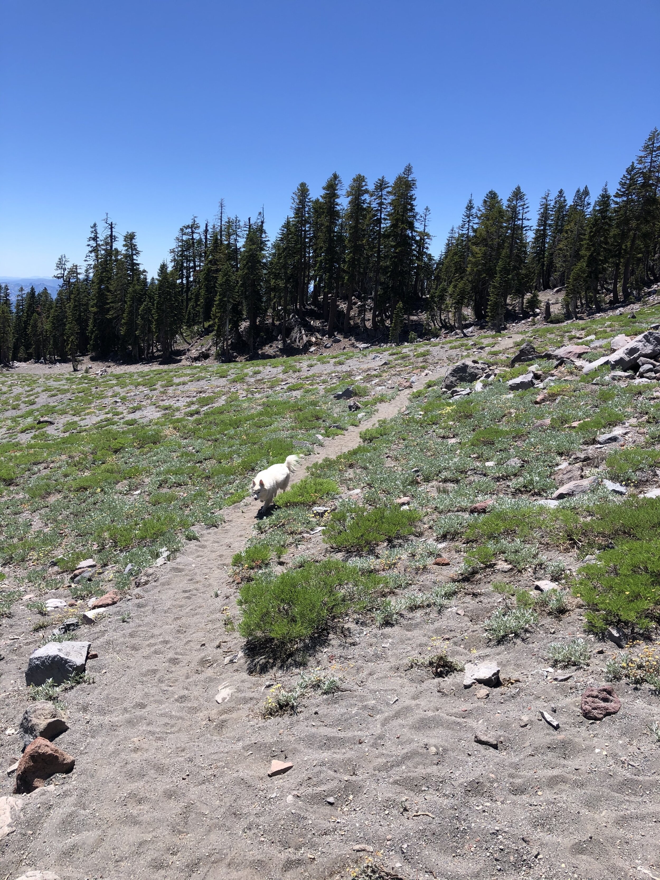
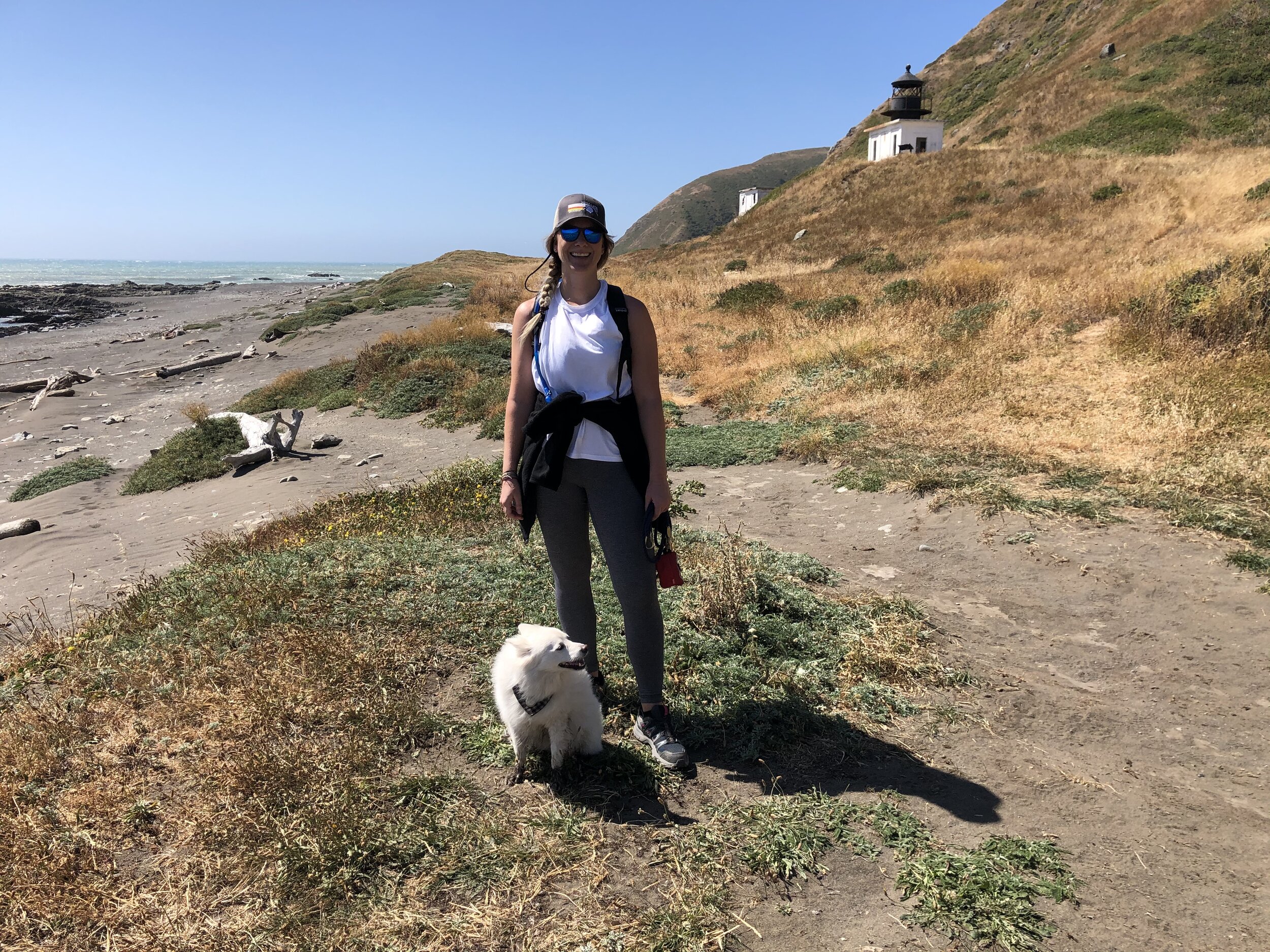
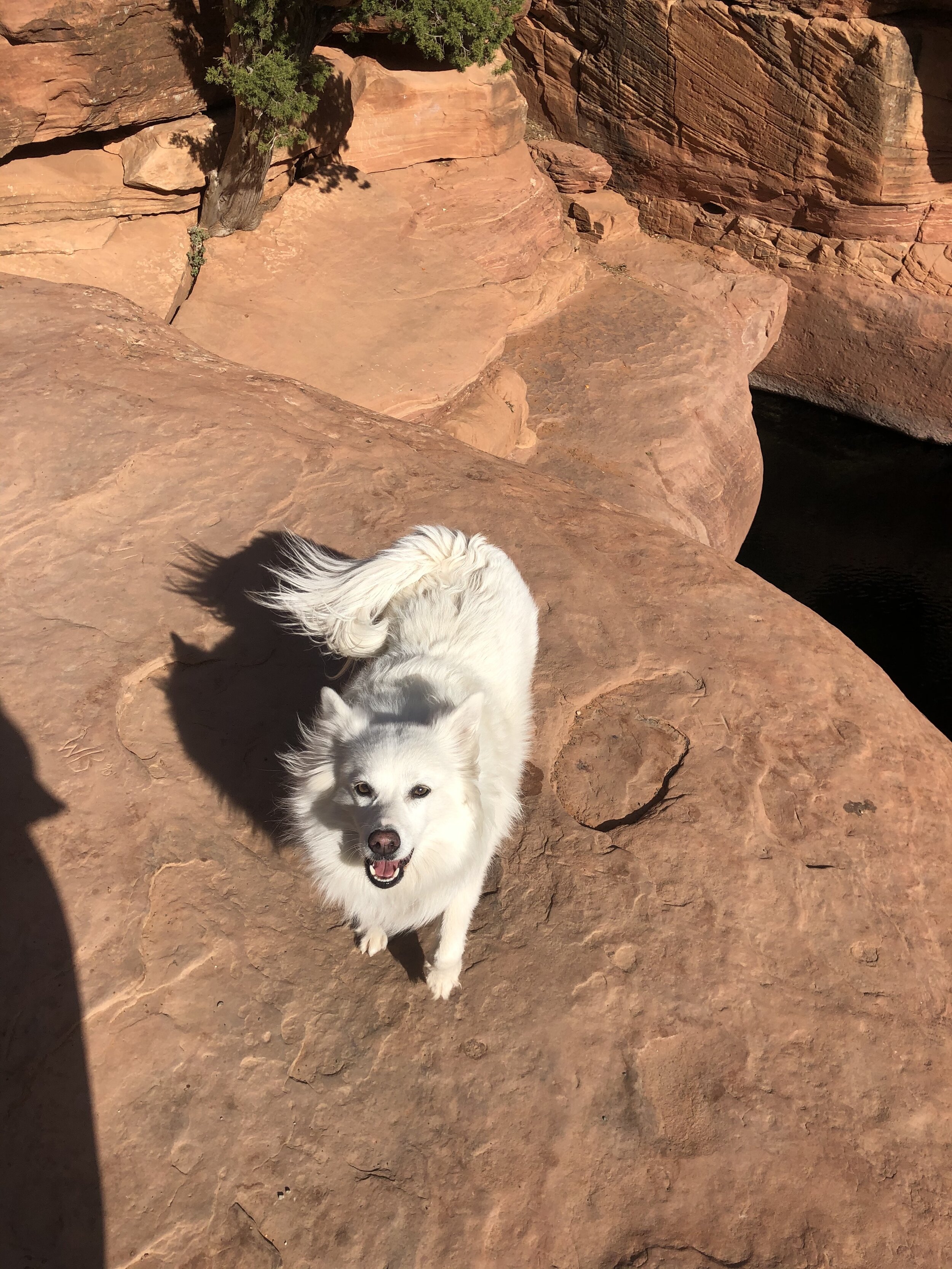
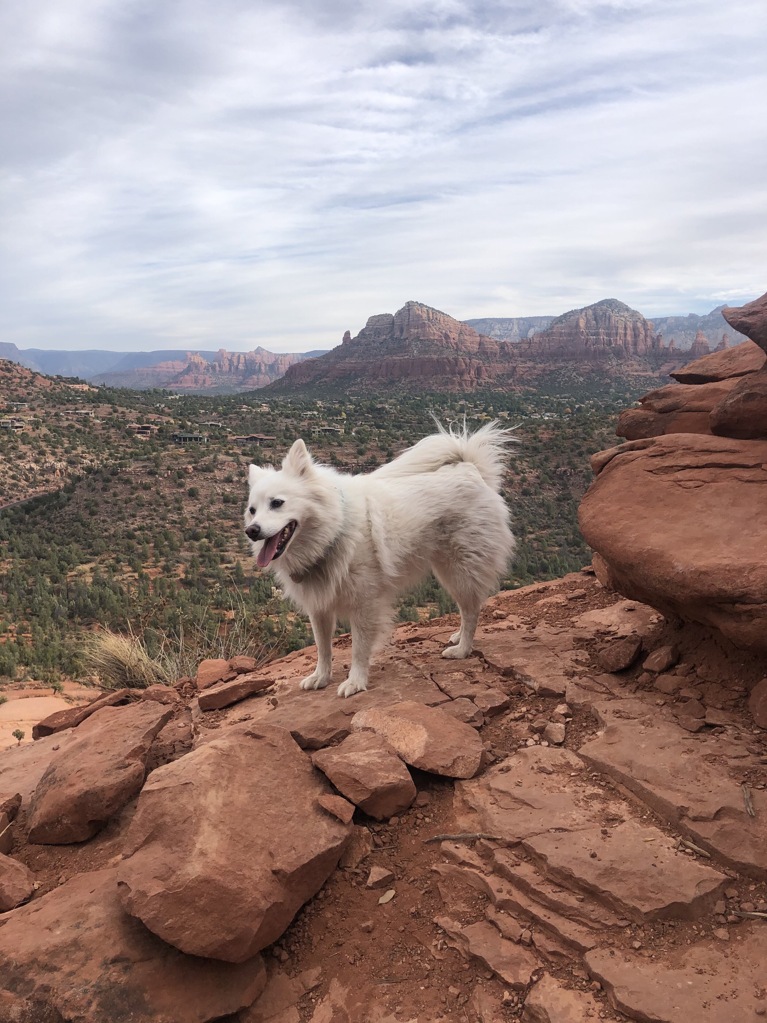
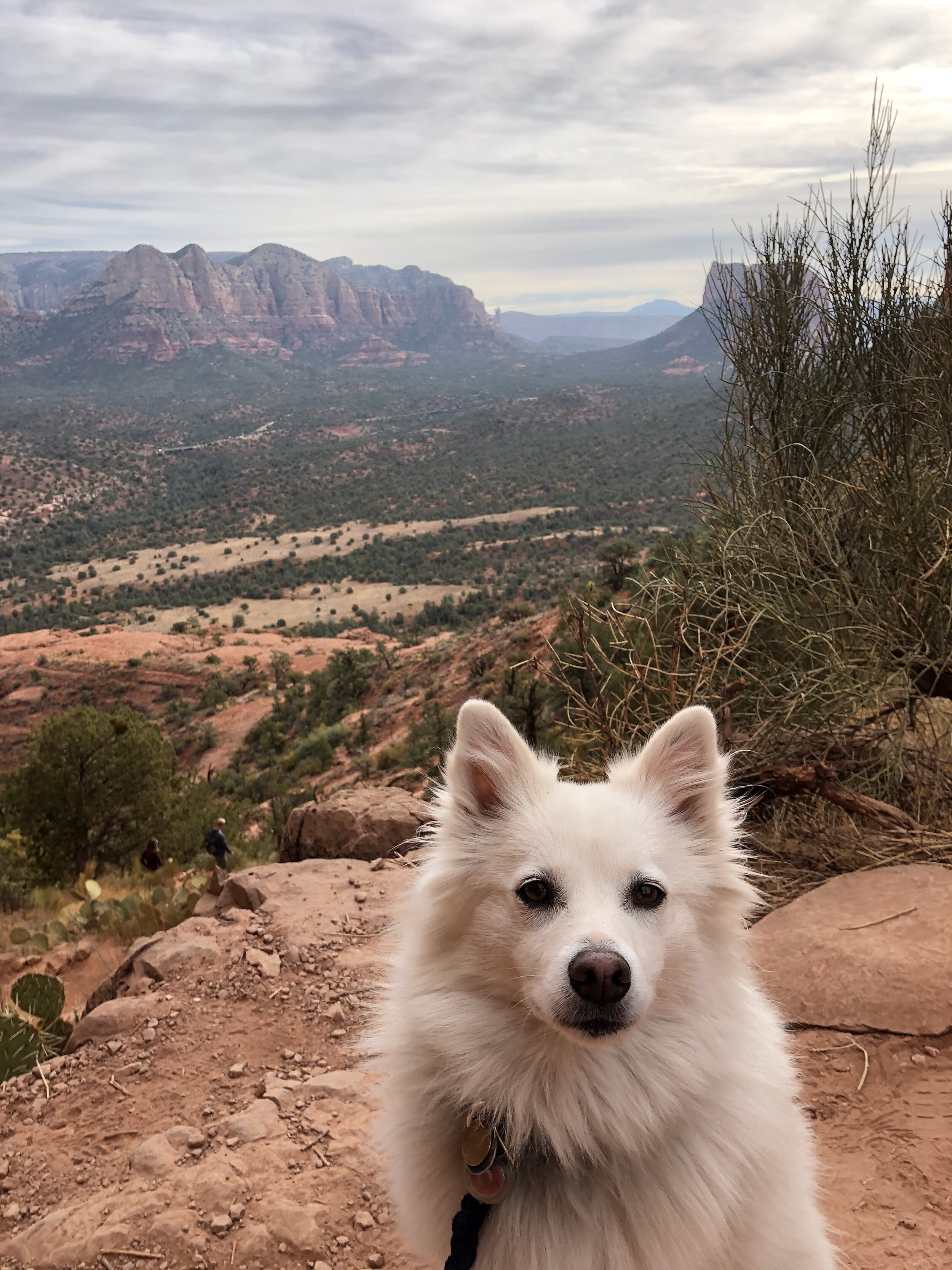
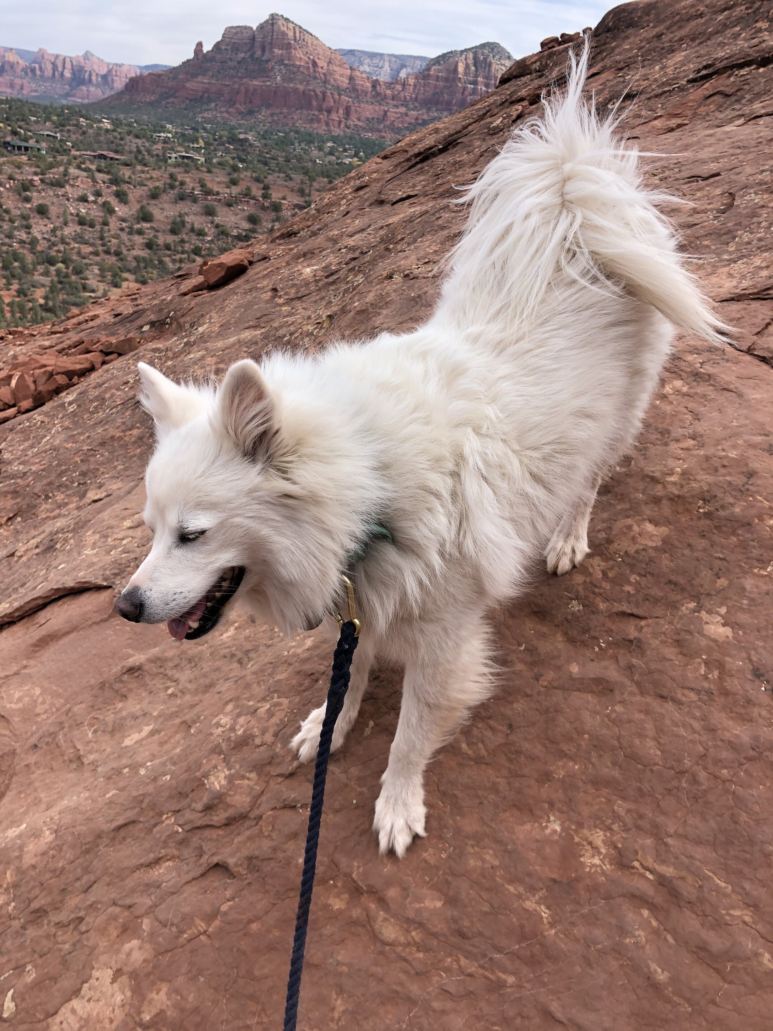
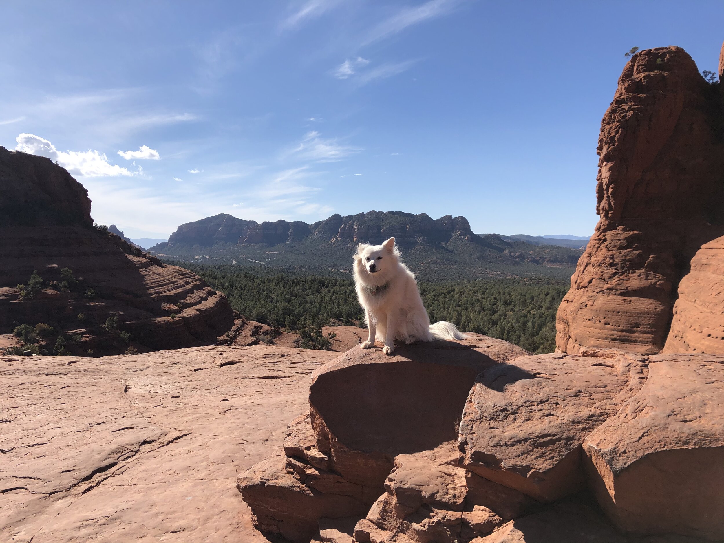
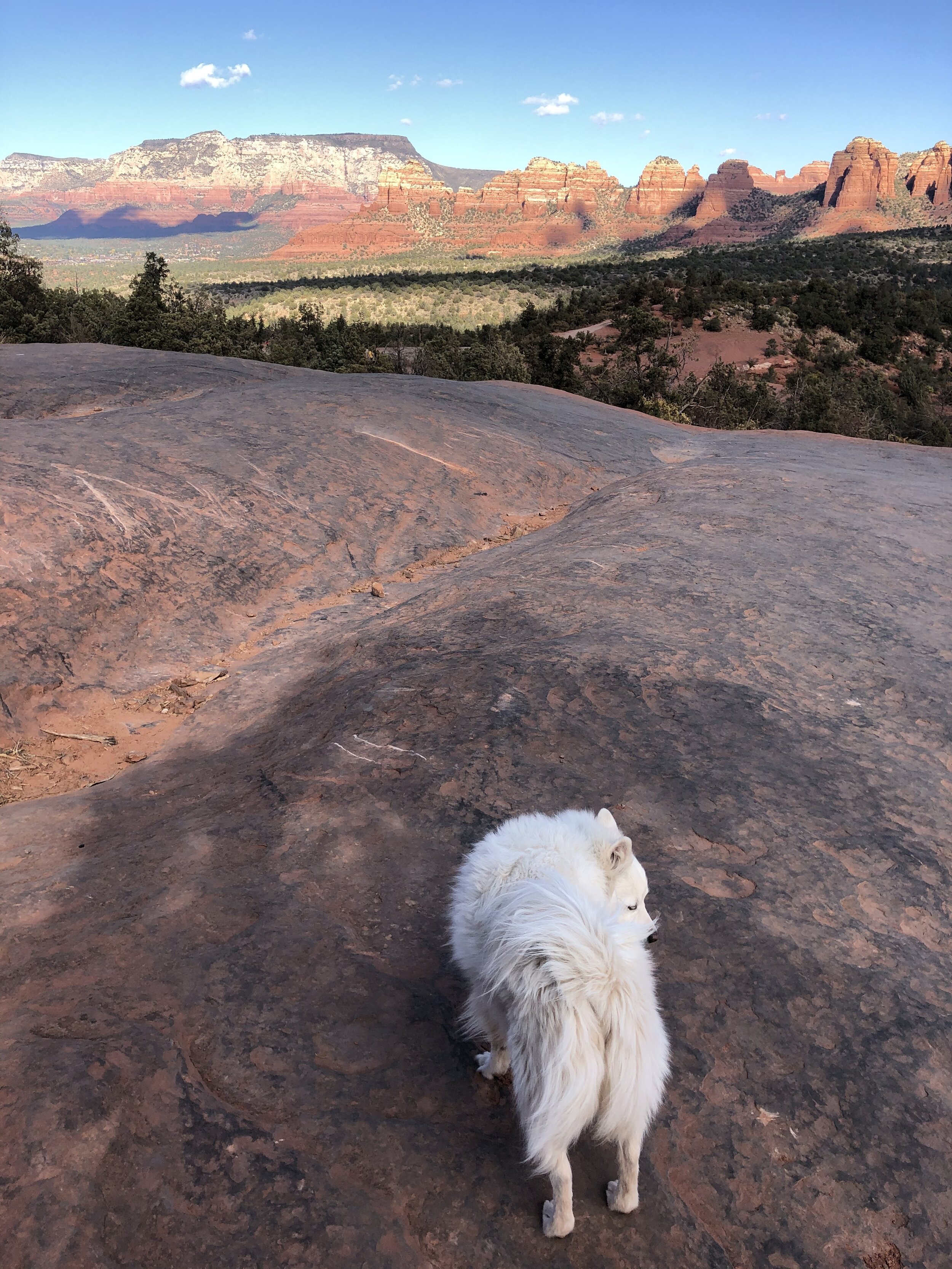
The reviews of this trail say that dogs are welcome but not advised to come because some areas are steep and difficult for dogs. I knew Addie would handle it, though. She is ridiculously agile and can jump and maneuver like a circus dog (actually, her breed was used as circus dogs in the past). It wasn’t a long trail, either. Not to brag (well, maybe a little), but my little munchkin made her way up and down this:

IMG_3411.jpg

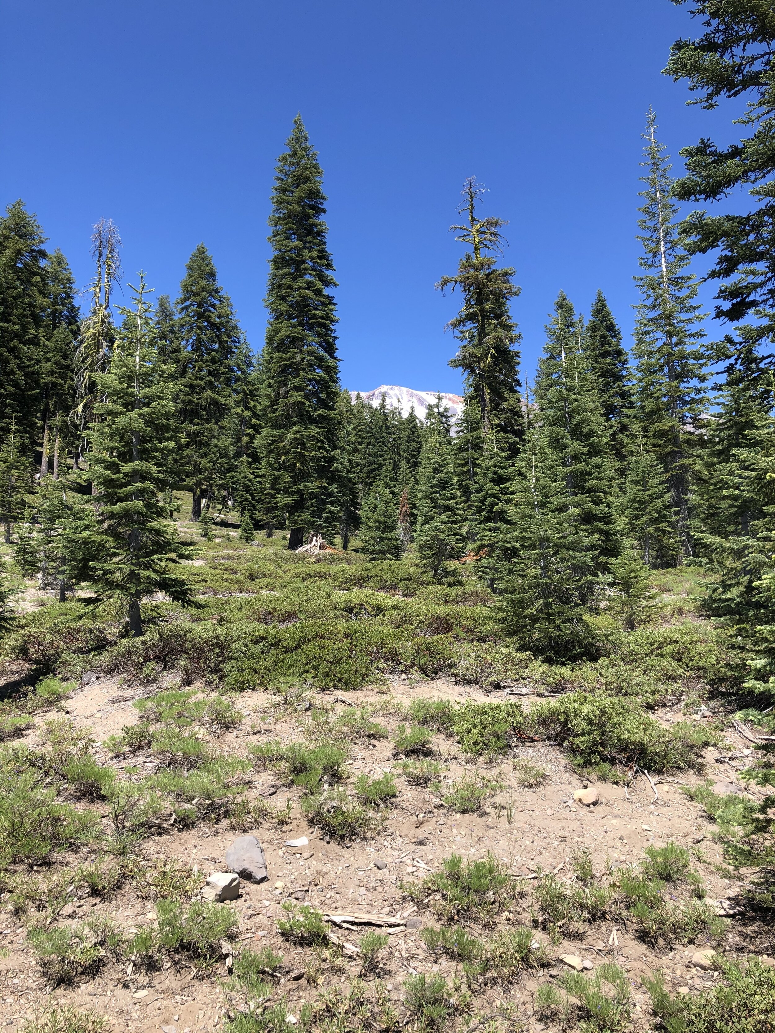
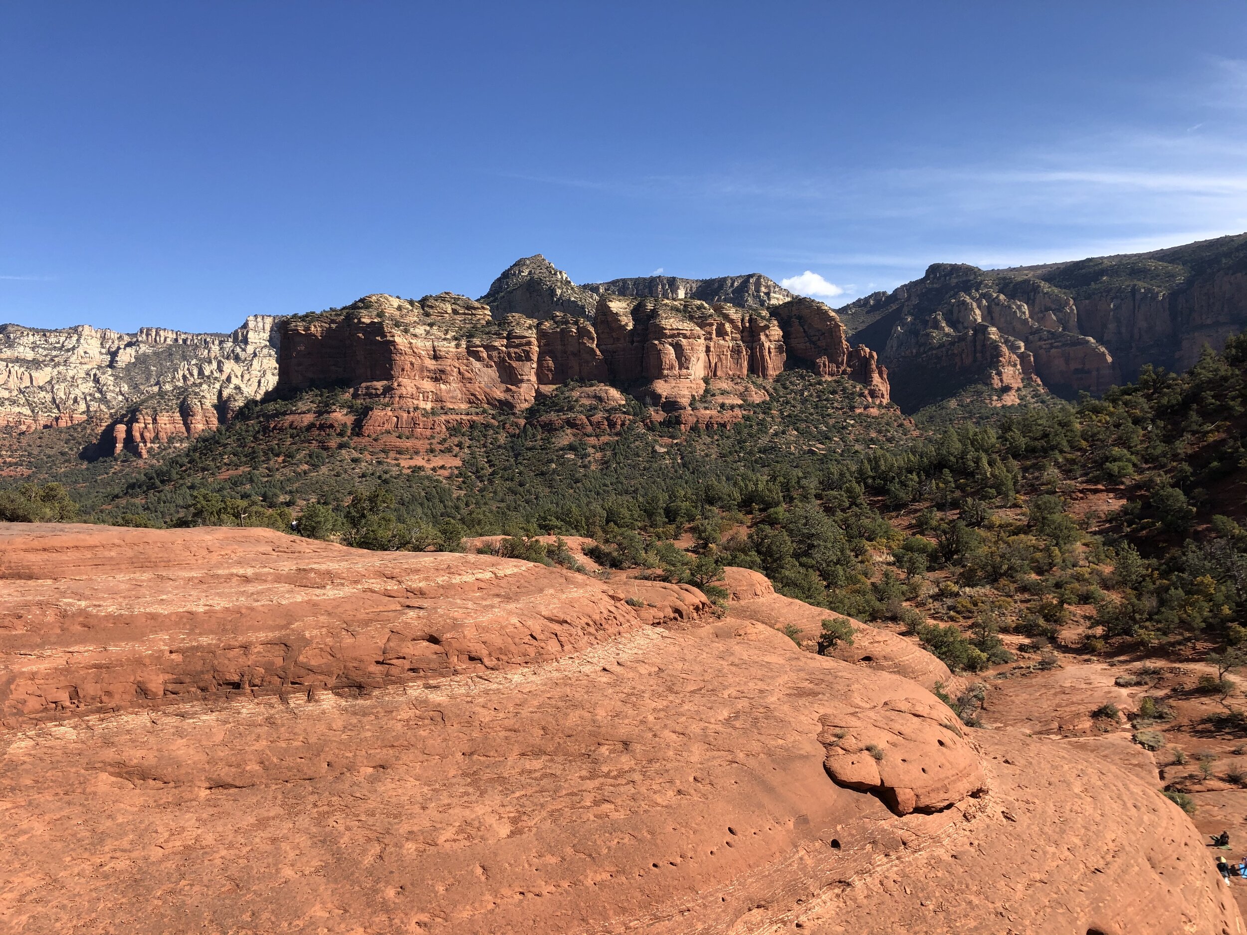
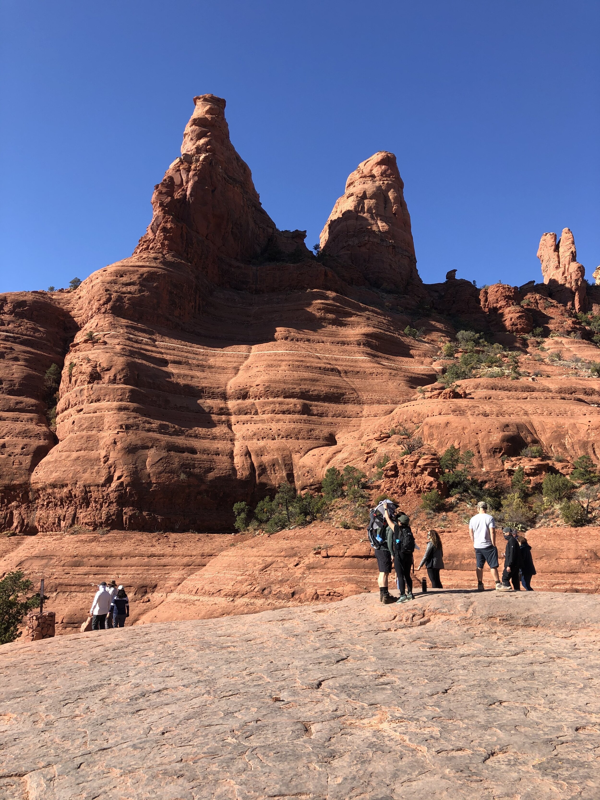
The masses of people were annoying, but the scenery was exquisite. The hike was also fun, as the terrain was varietal.

IMG_3386.jpg
IMG_3388.jpg
IMG_3389.jpg
IMG_3393.jpg
IMG_3394.jpg
IMG_3395.jpg
IMG_3396.jpg
IMG_3399.jpg
IMG_3401.jpg
IMG_3402.jpg
IMG_3405.jpg
IMG_3408.jpg
IMG_3409.jpg
IMG_3410.jpg
IMG_3412.jpg
IMG_3386.jpg IMG_3388.jpg IMG_3389.jpg IMG_3393.jpg IMG_3394.jpg IMG_3395.jpg IMG_3396.jpg IMG_3399.jpg IMG_3401.jpg IMG_3402.jpg IMG_3405.jpg IMG_3408.jpg IMG_3409.jpg IMG_3410.jpg IMG_3412.jpg

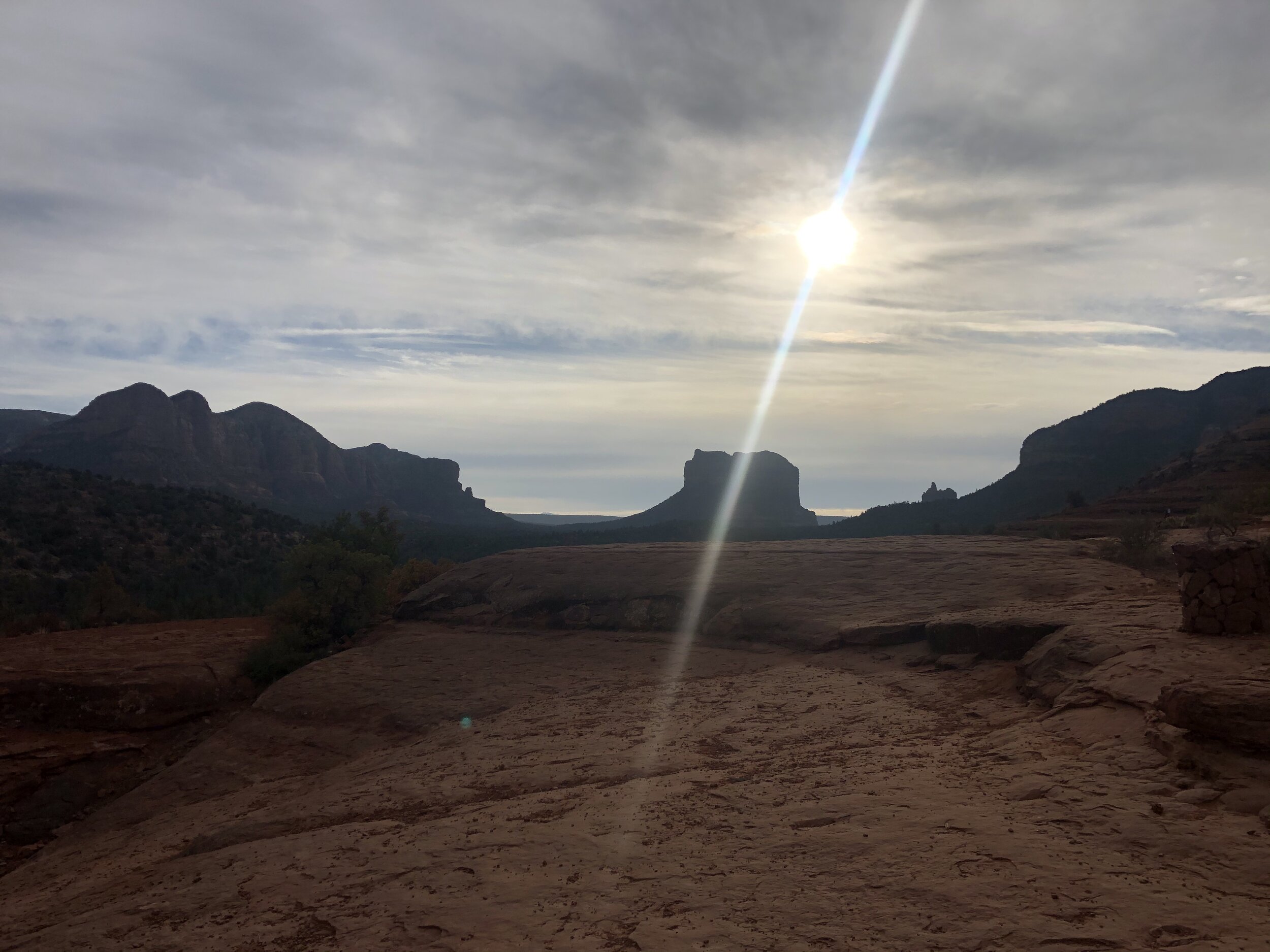
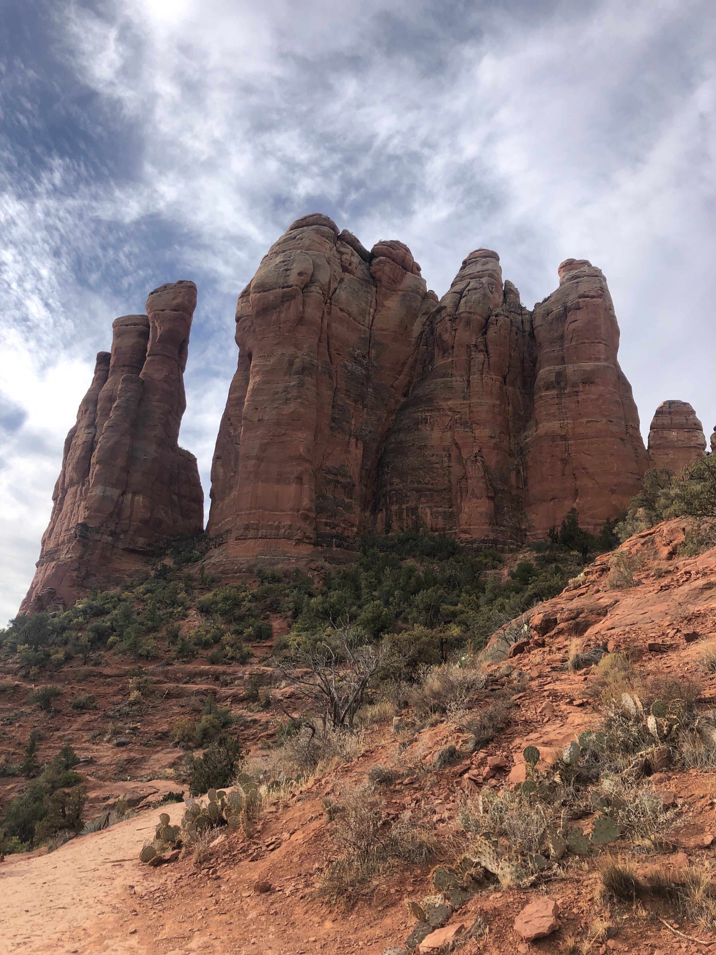
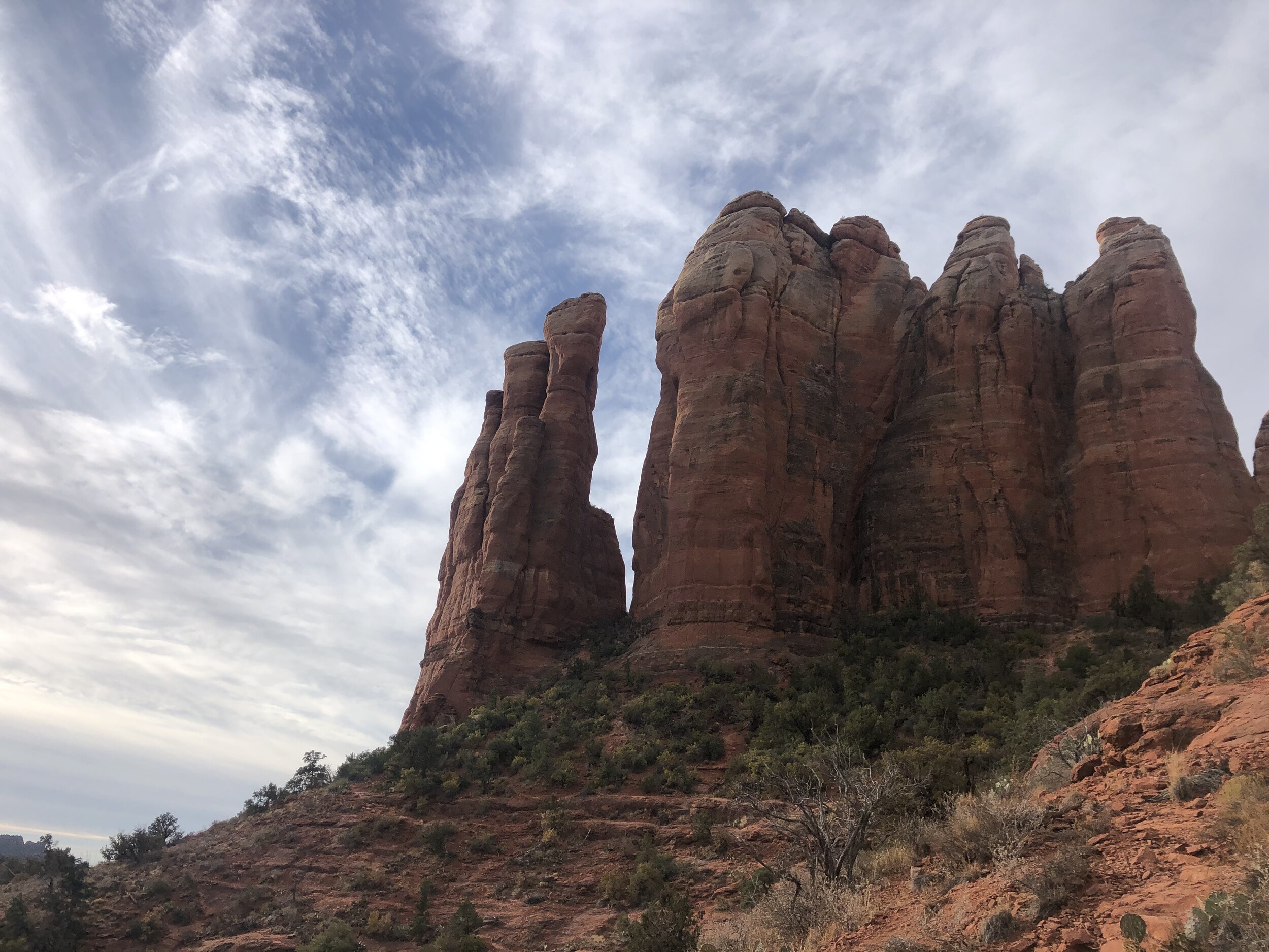
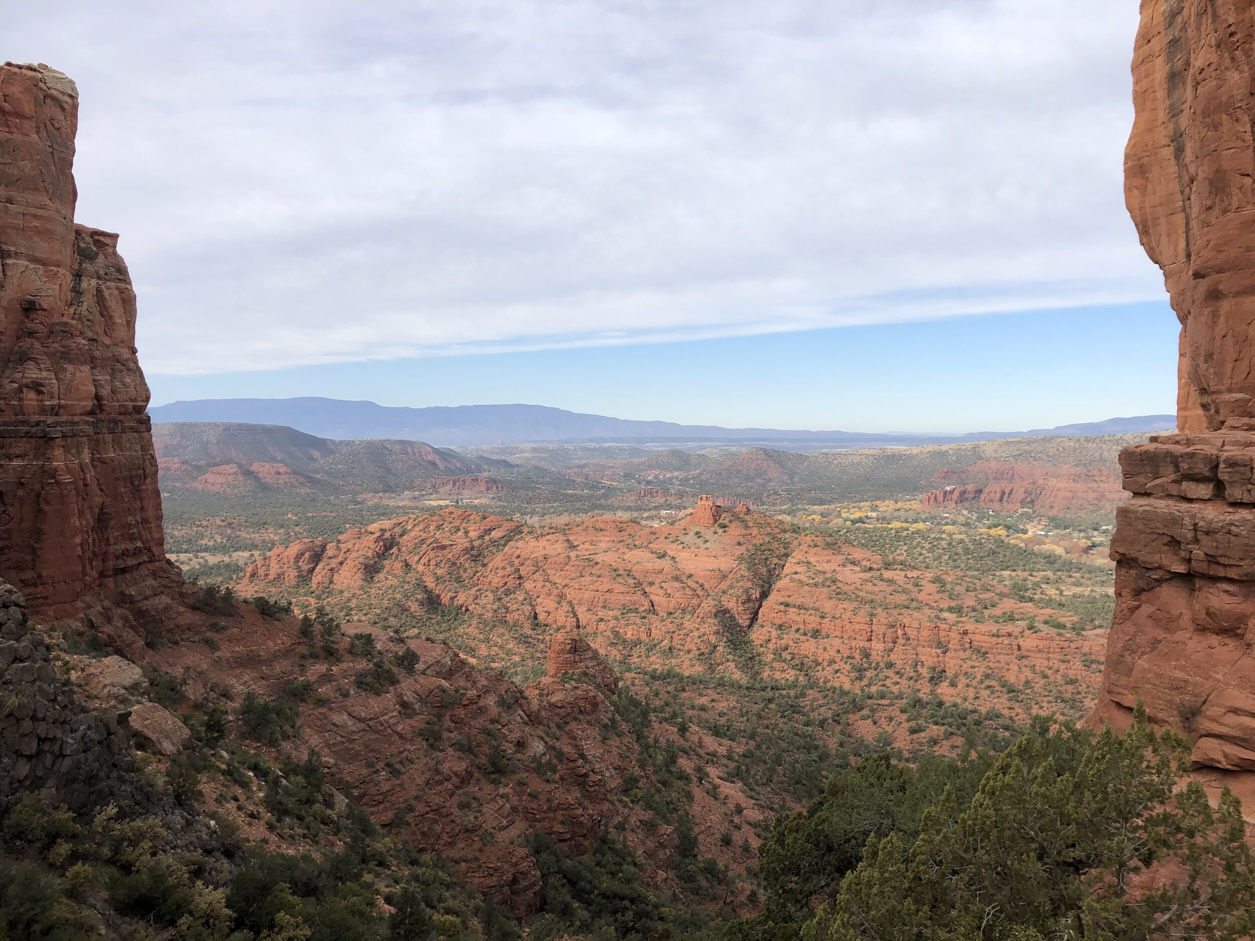
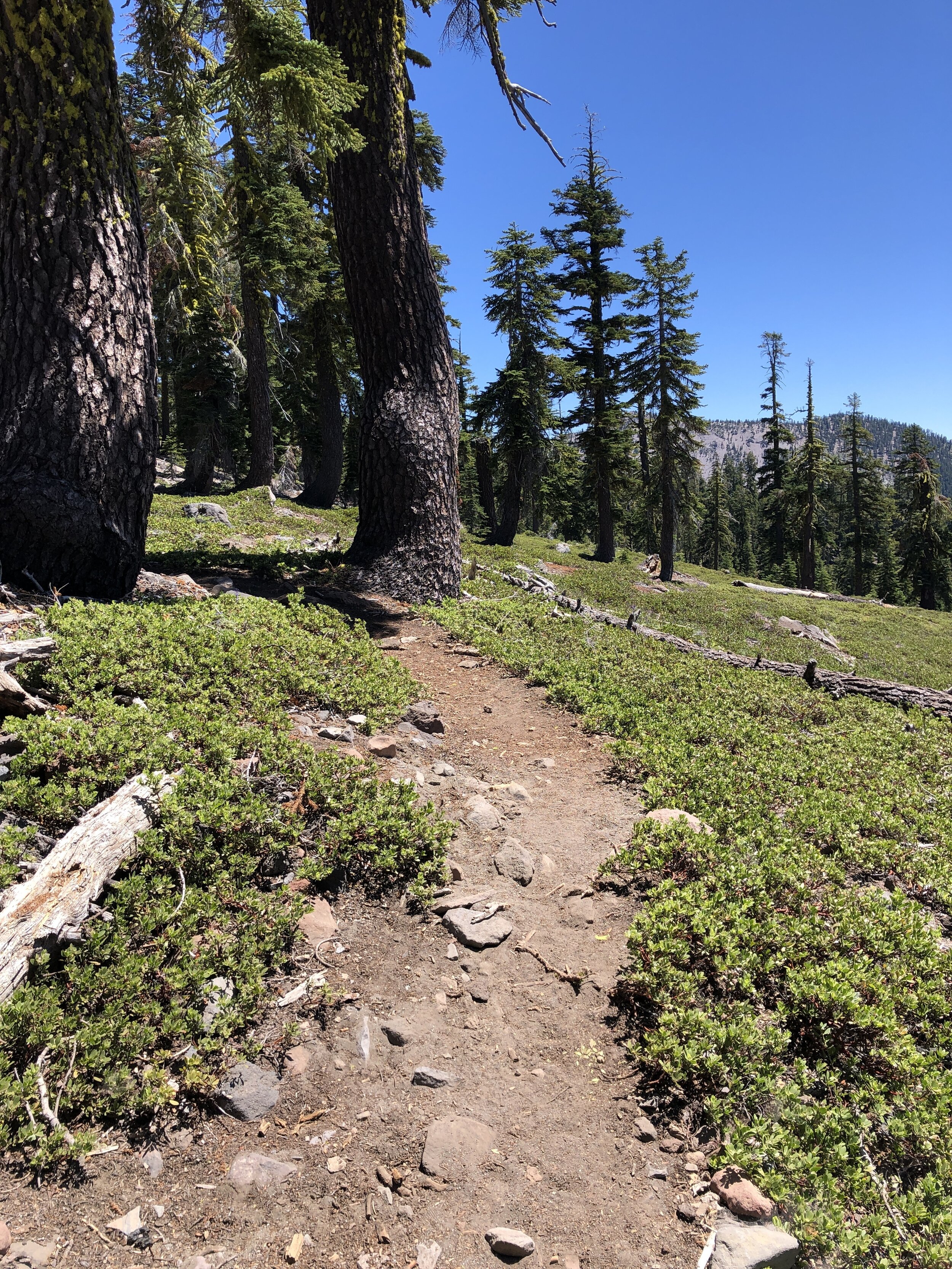
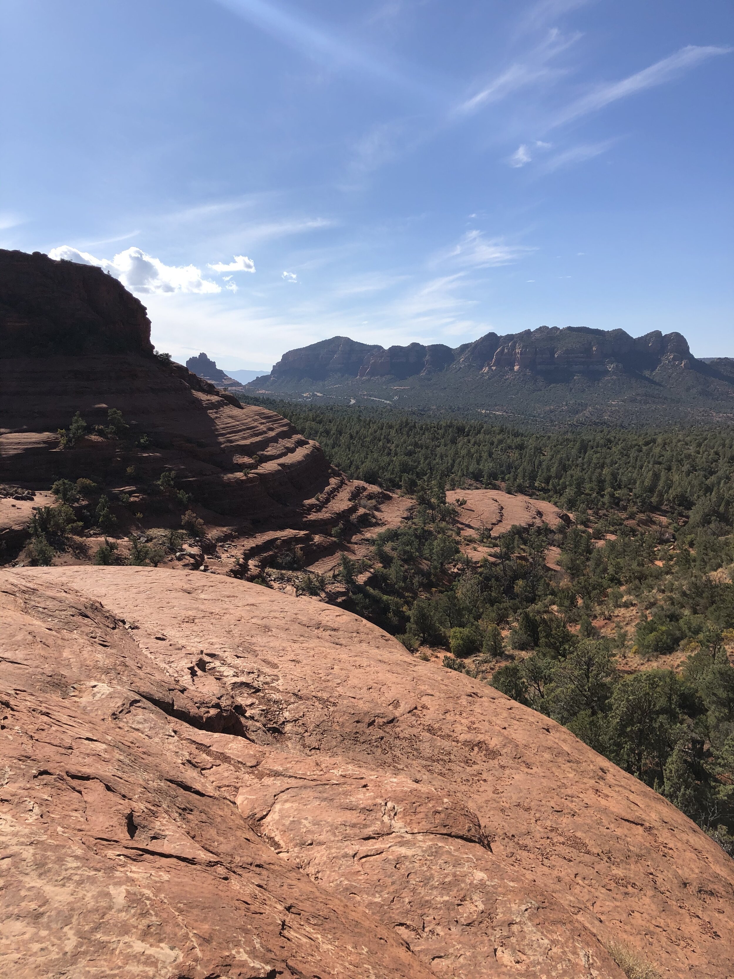
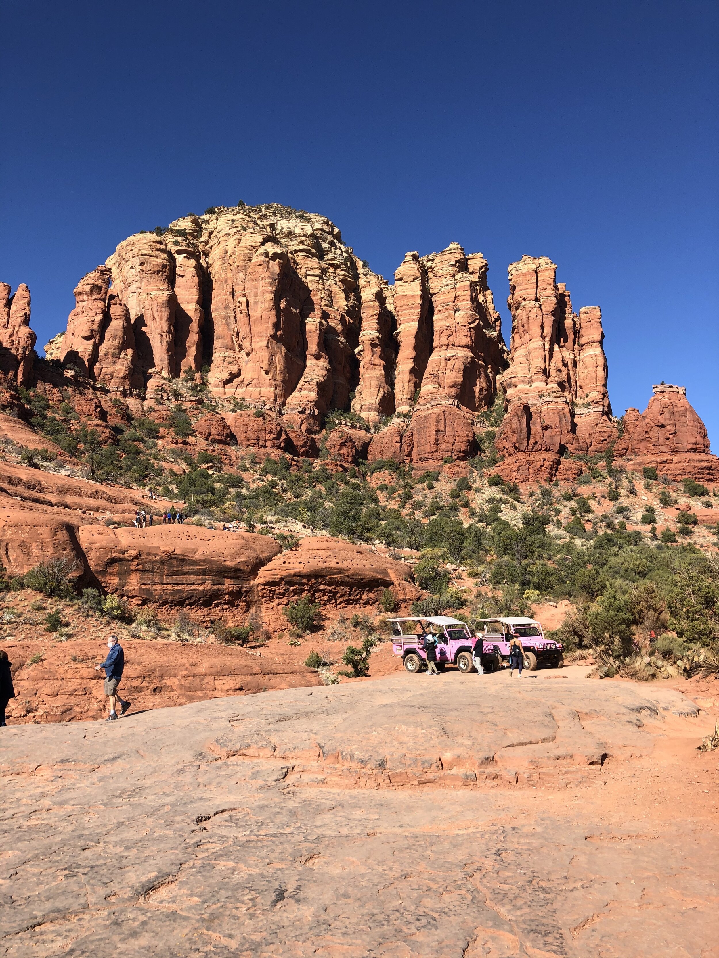
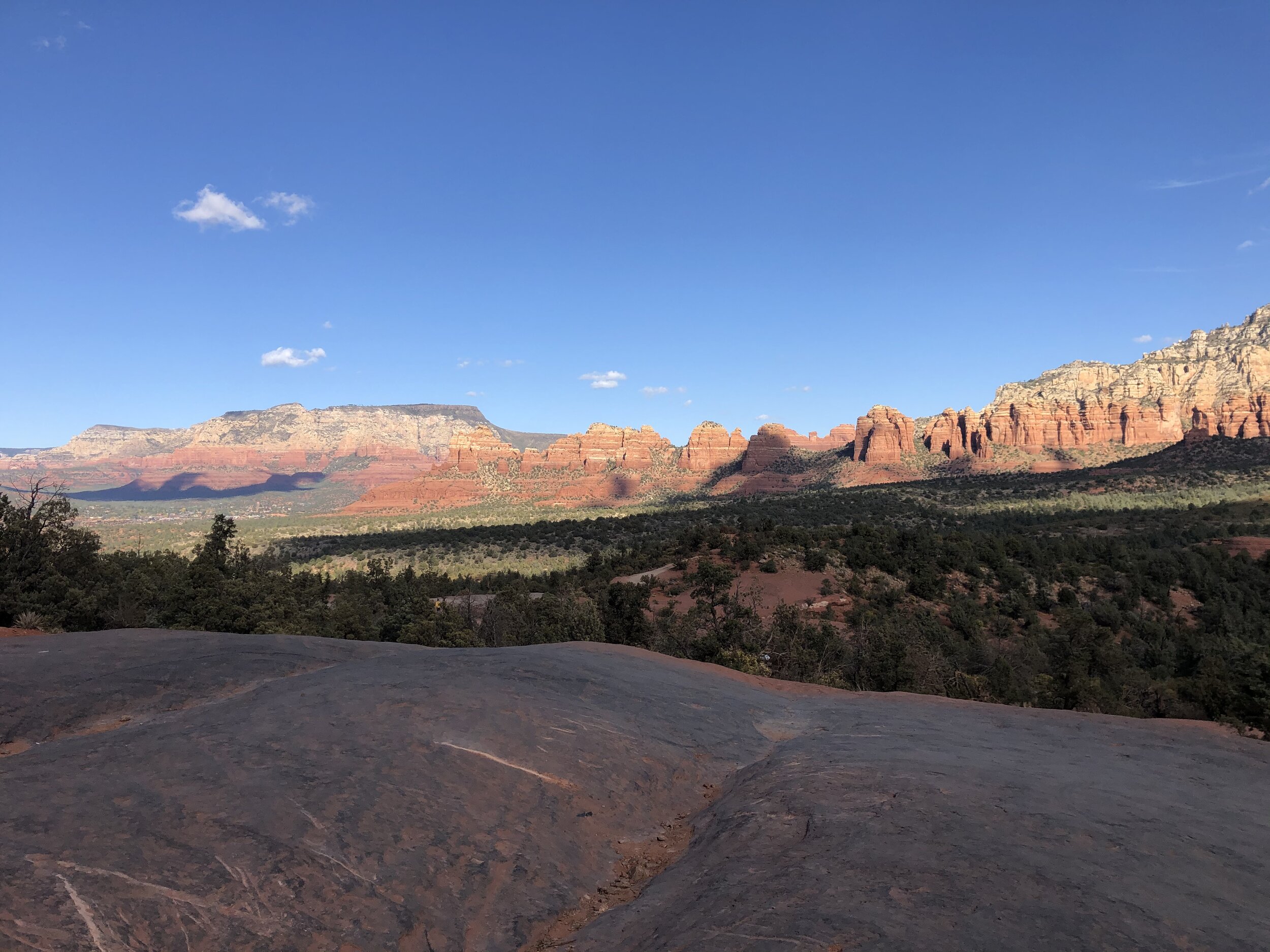
After trying a few other trailheads and not finding parking, I finally got a spot at the Broken Arrow Trail trailhead. Not surprisingly, it was packed with cars and visitors. This hike shared parts of its way with jeeps and mountain bikes, but I was glad I landed on it.

IMG_3415.jpg
IMG_3416.jpg
IMG_3417.jpg
IMG_3419.jpg
IMG_3421.jpg
IMG_3422.jpg
IMG_3426.jpg
IMG_3432.jpg
IMG_3437.jpg
IMG_3439.jpg
IMG_3440.jpg
IMG_3415.jpg IMG_3416.jpg IMG_3417.jpg IMG_3419.jpg IMG_3421.jpg IMG_3422.jpg IMG_3426.jpg IMG_3432.jpg IMG_3437.jpg IMG_3439.jpg IMG_3440.jpg

Addie and I departed the Sedona area the following morning and also said good-bye to Michael and Bella. We were sad to part but planned to keep in touch. Such is the life of nomads on the road!

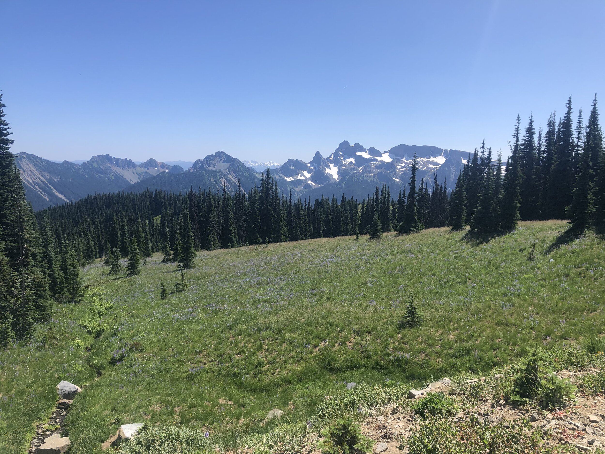
I had one more stop in Arizona, which was the ever-so-iconic, Grand Canyon National Park.

November 26, 2020 /Sarah Williams
sedona, Airstream of Scottsdale, Airstream basecamp, dispersed camping, Uptown Sedona, Bell Trail, Coconino National Forest, Cathedral Rock Trail, Broken Arrow Trail, Nomads
Along the Way
Comment
IMG_9922.jpg

#38: Mount Rainier National Park

August 15, 2020 by Sarah Williams in National Parks

Mount Rainier was the second of three national parks in Washington that we visited. After our ever-so-eventful experience at Olympic, I decided to drive Rainier and not worry about seeking out hikes. Numerous stressors were/are in the air: Addie's health, lack of mobile service, trouble finding campsites, and a fussy water heater in the Airstream. I didn't need one more thing to worry about, which was navigating Rainier's hiking situation (specifically with Addie, who is not allowed on trails).

Camping options around Mount Rainier were scarce. All the park campgrounds were reserved, and the only first-come, first-serve camping choice is tent-only. One of the most troubling factors was the lack of mobile service as I got into the area. I rely on apps to find camping, but obviously, apps are useless with no signal.

I spent a while driving to a few places I researched but couldn’t locate. I then had to go back into a service area to look up other options. Around dusk, I spotted some RVs through some trees off the main road. I turned around and took the first turn into the woods. This was lucky. It was a dispersed camping area that was annoyingly busy, but I could back into a spot between trees that worked - at least for one night. I would get up the next morning to find a more suitable place.

My stress level curbed some when I landed at La Wis Wis National Forest Campground. However, my stress level inflated again when I backed the Airstream into a post while settling into a spot. Not only did I back it up over the post, but also when I pulled forward trying to get it off (it was a short post just at the height of the bumper), a section of the bumper wholly detached. Awesome.

IMG_6752.jpg
IMG_2089.jpg
IMG_2090.jpg
IMG_4274.jpg
IMG_6311.jpg
IMG_6963.jpg

I was laughing at this point. This little mishap was nothing unfixable. I used duct tape to reattach what I could, and I went on with my day. We hiked around the campground area a little and hung out by the river.

IMG_6468.jpg

After grieving the loss of the Airstream’s back bumper, Addie and I made our way to Mount Rainier National Park in the afternoon. Like many other national parks, there are multiple entrances.

I knew I wanted to get to the Sunrise section, which at the peak, is the highest point reachable by vehicle within the park. The road getting up to Sunrise, Sunrise Park Road, is only accessible in the warmer months, and as you drive up, you can’t resist pulling over at multiple points to take in the views.

IMG_3815.jpg
IMG_4974.jpg
IMG_5041.jpg
IMG_9212.jpg
IMG_0092.jpg
IMG_2805.jpg
IMG_6306.jpg
IMG_7856.jpg
IMG_7906.jpg
IMG_3815.jpg IMG_4974.jpg IMG_5041.jpg IMG_9212.jpg IMG_0092.jpg IMG_2805.jpg IMG_6306.jpg IMG_7856.jpg IMG_7906.jpg

The scenery from the top took my breath away. In my opinion, I was there at the best time of year, and the weather that day couldn’t have been any more perfect. Addie and I got some much-needed solitude up there, proving to us that you don’t always need to hike a park to get a lot out of it.

IMG_2911.jpg
IMG_2343.jpg
IMG_5169.jpg
IMG_8043.jpg
IMG_9921.jpg
IMG_9922.jpg
IMG_2911.jpg IMG_2343.jpg IMG_5169.jpg IMG_8043.jpg IMG_9921.jpg IMG_9922.jpg

After a second night at La Wis Wis Campground, the next stop was to the park's Paradise section. The different areas provide various views of Mount Rainier. It's such a beautiful sight, though, so it never gets old.

IMG_0626.jpg
IMG_1215.jpg
IMG_3736.jpg
IMG_5424.jpg
IMG_5617.jpg
IMG_9030.jpg
IMG_0626.jpg IMG_1215.jpg IMG_3736.jpg IMG_5424.jpg IMG_5617.jpg IMG_9030.jpg

At this time, not only did we have external issues with the Airstream (missing bumper), but we also had internal problems. My Truma water heater continued acting up. Sometimes it would work, and other times it wouldn’t. Since I had been dry camping for weeks by now, my next camping spot would need to have electrical hookups so I could troubleshoot.

Onward and upward towards Seattle, then to North Cascades National Park. In the back of my mind, I knew of the Airstream dealership in Seattle, so if I needed to, I could potentially get some help with the Truma there. I also needed to figure out how to fix the bumper. 

Homeownership (eye roll)...

August 15, 2020 /Sarah Williams
Mount Rainier, dispersed camping, la wis wis campground, washington, national parks, Truma, Airstream, scenery, mountains
National Parks
IMG_4251.jpg
IMG_5642.jpg

#33: Mount Shasta & The Lost Coast

July 28, 2020 by Sarah Williams in Along the Way

Mount Shasta

I had first heard about Mount Shasta years ago while working for Women’s Health magazine. At the time, we hosted an event there to stargaze. I didn’t attend, but Shasta has been on my list of places to visit since then. Not only is it said to be a spiritual vortex (similar to Sedona, AZ), but it’s also said to be, well, beautiful.

After picking up some groceries in town, I headed toward the Shasta-Trinity National Forest to a dispersed camping location I found on Campendium. This situation often happens: I read all the site reviews and determine whether or not I want to stay there, but sometimes I can’t make a final decision until I get there. This was one of those times.

The road to the original campsite was AWFUL. It was full of deep potholes, tight turns, and many, many large rocks - not conducive to a non-high-clearance SUV towing a trailer. The worst part was that I couldn’t turn around until I was down the road a few miles. I had to go four miles up and back on a dicey road, white-knuckled the entire time. No bueno.

On my way to the initial location, luckily I passed another camping area that looked decent. I saw other, larger travel trailers there, a telling sign that I could maneuver my way in safely. And that we did. Best of all, Addie seemed satisfied with our spot.

IMG_9125.jpg
IMG_3675.jpg

While here, Addie and I took some time to relax and “be.” We had been on the go-go-go for a while, and we needed some time to relax. We hiked some smaller trails to take in the area - it was stunning: blue skies, green pines, and crisp air - my happy place.

IMG_1295.jpg
61627759206__3568926D-D014-4808-97AD-542F2094EDB8.JPG
IMG_2923.jpg
61618729867__F7DDAF7F-DCBE-412D-98F4-04DB328708AE.JPG
IMG_6526.jpg
IMG_5459.jpg
IMG_1295.jpg 61627759206__3568926D-D014-4808-97AD-542F2094EDB8.JPG IMG_2923.jpg 61618729867__F7DDAF7F-DCBE-412D-98F4-04DB328708AE.JPG IMG_6526.jpg IMG_5459.jpg

There was one other thing that stood out about my trip to Mount Shasta. Since Addie and I hung around the campsite more often than usual, we got friendly with some of the inhabitants at the time. One night while there, I was invited to a drum circle-type gathering. I didn’t necessarily want to go, but I had a “when in Rome” moment. It was…interesting. There were people around a fire playing different instruments, smoking weed, and conversing. I was certainly out of my comfort zone, but everyone was very welcoming.

The Lost Coast

In the first few months of my year on the road, my friend Jared, with whom I met up in Southern California, recommended that I go to The Lost Coast. I didn’t know what exactly it was, but I knew I needed to go after researching it.

I had to do a little snooping around online to understand where exactly “The Lost Coast” is and what it is. It’s a California coastline stretch that stretches from Shelter Cove to the south and Mattole River to the north. The land is underdeveloped, with no major roads or highways to get you there. It was named The Lost Coast in the 1930s after the area experienced depopulation. There are little to no signs of habitation. Let’s just say I made sure I had a full tank of diesel before heading there.

Screen Shot 2020-12-16 at 5.59.11 PM.png

There are various access points and sections of The Lost Coast. Based on where I was camping, I started my exploration from a small town called Ferndale and headed south. I found the “entrance” right outside of town and headed for the unknown on a narrow, roughly paved road.

IMG_6264.jpg
IMG_7025.jpg

The long road wound through huge meadows, hills, and cattle. At times, the road turned into a single lane or dirt, and I wasn’t sure what was ahead. Eventually, coming over a large hill after driving for hours, I got a glimpse of the ocean. I was awestruck - it was a scene like nothing I had ever seen before. It was everything and nothing at the same time.

IMG_8941.jpg
IMG_0437.jpg
IMG_0597.jpg
IMG_0617.jpg
IMG_3365.jpg
IMG_7590.jpg
IMG_4617.jpg
IMG_4950.jpg
IMG_5943.jpg
IMG_6776.jpg
IMG_5268.jpg
IMG_4730.jpg
IMG_7121.jpg
IMG_5642.jpg
IMG_8941.jpg IMG_0437.jpg IMG_0597.jpg IMG_0617.jpg IMG_3365.jpg IMG_7590.jpg IMG_4617.jpg IMG_4950.jpg IMG_5943.jpg IMG_6776.jpg IMG_5268.jpg IMG_4730.jpg IMG_7121.jpg IMG_5642.jpg
IMG_9122.jpg

As soon as I could, I pulled over to get closer to the shoreline. Although very windy, Addie and I ventured to the water. The “sand” was black and coarse, and the water was clear and shiny. We were astonished at where we were. There was no one in sight; it was stunning, yet arguably a little eerie. The scene felt like one out of an Agatha Christie novel.

IMG_1864.jpg
IMG_3354.jpg
IMG_1312.jpg
IMG_3239.jpg
IMG_2681.jpg
IMG_9427.jpg
IMG_4617.jpg
IMG_1864.jpg IMG_3354.jpg IMG_1312.jpg IMG_3239.jpg IMG_2681.jpg IMG_9427.jpg IMG_4617.jpg

We hopped back into the car and continued on our way. There was so much more to explore. Through golden hills and windy roads, we arrived at Mattole Valley.

IMG_8193-1.jpg
IMG_8441-1.jpg
IMG_9606-1.jpg

I remember something about a lighthouse through my frontend research, so when I saw a road called Lighthouse Road, I felt inclined to take the turn. I knew this road was bringing me closer to the ocean, and when the road ended, I found a campground and trailhead. At this point, I had no mobile service, but I checked the trail map at the information sign and decided to hike this trail along the coast. It was a 7-mile out and back section of the Lost Coast Trail (one can hike the entire Lost Coast; however, this was a section of it) to an old lighthouse, Punta Gorda Lighthouse.

IMG_1254.jpg

The information board included a tide schedule, which was alarming. To hike this trail safely, one must consider the tides. There are parts of the path that are so close to the shore that you cannot get through it at high tide. According to the chart, I had a window of time to make it to the lighthouse and back safely, so I took the opportunity.

Much of this hike was through the sand, which I don’t love. On the way out, the wind was at our back; however, we were braving it on the return trip. The scenery was breathtaking, though, and the lighthouse was a substantial reward. I saw a few other people out there and also some elephant seals!

IMG_1625.jpg
IMG_3728.jpg
IMG_8866.jpg
IMG_4120.jpg
IMG_5864 2.jpg
IMG_2738.jpg
IMG_1186.jpg
IMG_1296.jpg
IMG_2515.jpg
IMG_3286.jpg
IMG_6440.jpg
IMG_7377-1.jpg
IMG_8075.jpg
IMG_8230.jpg
IMG_1625.jpg IMG_3728.jpg IMG_8866.jpg IMG_4120.jpg IMG_5864 2.jpg IMG_2738.jpg IMG_1186.jpg IMG_1296.jpg IMG_2515.jpg IMG_3286.jpg IMG_6440.jpg IMG_7377-1.jpg IMG_8075.jpg IMG_8230.jpg

After the hike, and pretty exhausted, Addie and I continued driving. We were losing daylight, and I wanted to ensure we got back to civilization (meaning: street lights of some sort) before the sunset. We headed east from the coast, back to main roads before heading back up north to where we were camping. It was a great day scouting out The Lost Coast, and I left hoping I’d revisit one day.

July 28, 2020 /Sarah Williams
mount shasta, shasta-trinity forest, vortex, dispersed camping, hiking, the lost coast, california, King Range, Lost coast trail, elephant seals, punta gorda lighthouse
Along the Way
1 Comment

@lyfeintow