#33: Mount Shasta & The Lost Coast
Mount Shasta
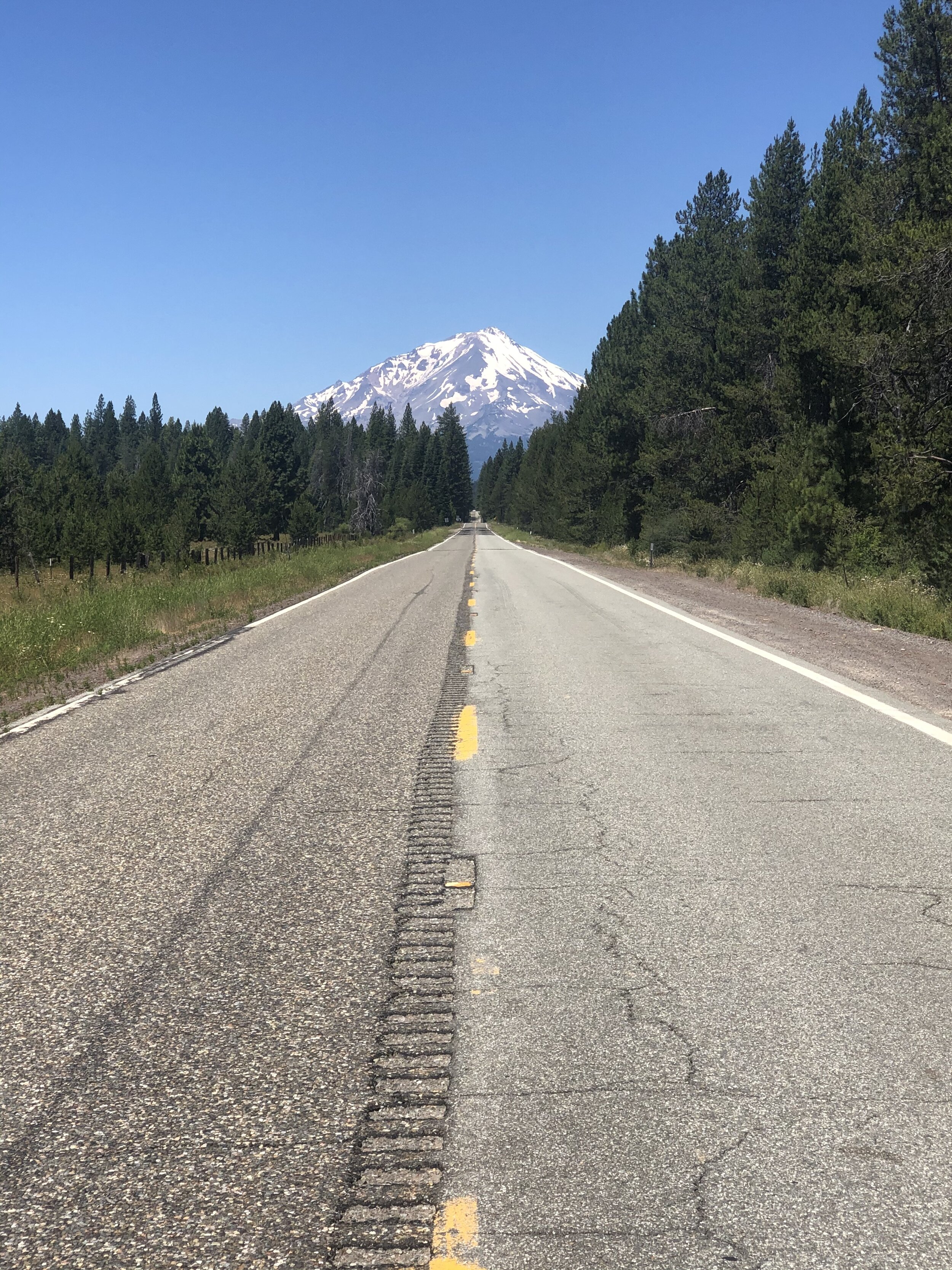
I had first heard about Mount Shasta years ago while working for Women’s Health magazine. At the time, we hosted an event there to stargaze. I didn’t attend, but Shasta has been on my list of places to visit since then. Not only is it said to be a spiritual vortex (similar to Sedona, AZ), but it’s also said to be, well, beautiful.
After picking up some groceries in town, I headed toward the Shasta-Trinity National Forest to a dispersed camping location I found on Campendium. This situation often happens: I read all the site reviews and determine whether or not I want to stay there, but sometimes I can’t make a final decision until I get there. This was one of those times.
The road to the original campsite was AWFUL. It was full of deep potholes, tight turns, and many, many large rocks - not conducive to a non-high-clearance SUV towing a trailer. The worst part was that I couldn’t turn around until I was down the road a few miles. I had to go four miles up and back on a dicey road, white-knuckled the entire time. No bueno.
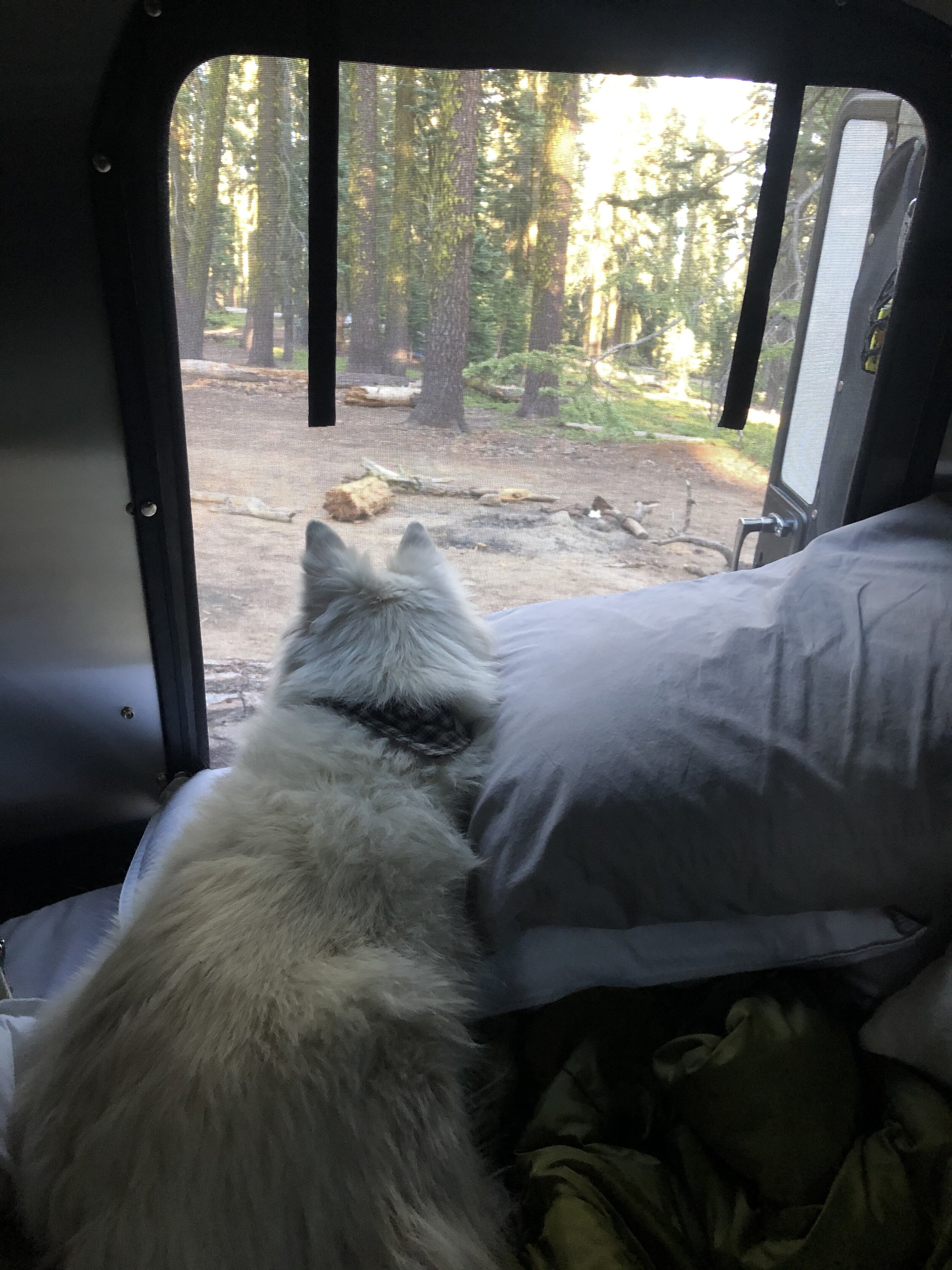
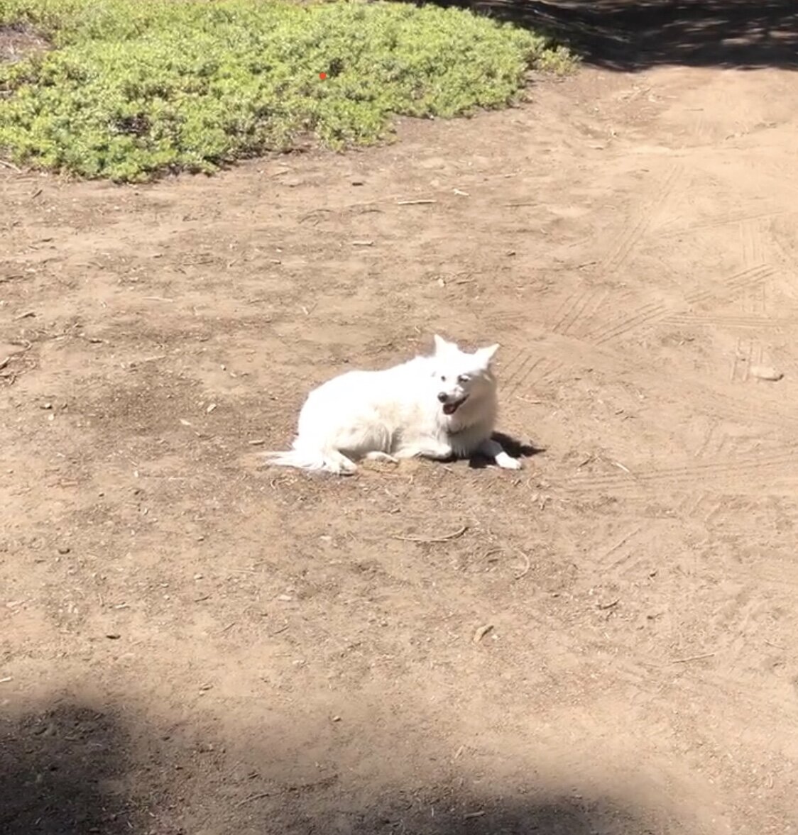
On my way to the initial location, luckily I passed another camping area that looked decent. I saw other, larger travel trailers there, a telling sign that I could maneuver my way in safely. And that we did. Best of all, Addie seemed satisfied with our spot.
While here, Addie and I took some time to relax and “be.” We had been on the go-go-go for a while, and we needed some time to relax. We hiked some smaller trails to take in the area - it was stunning: blue skies, green pines, and crisp air - my happy place.
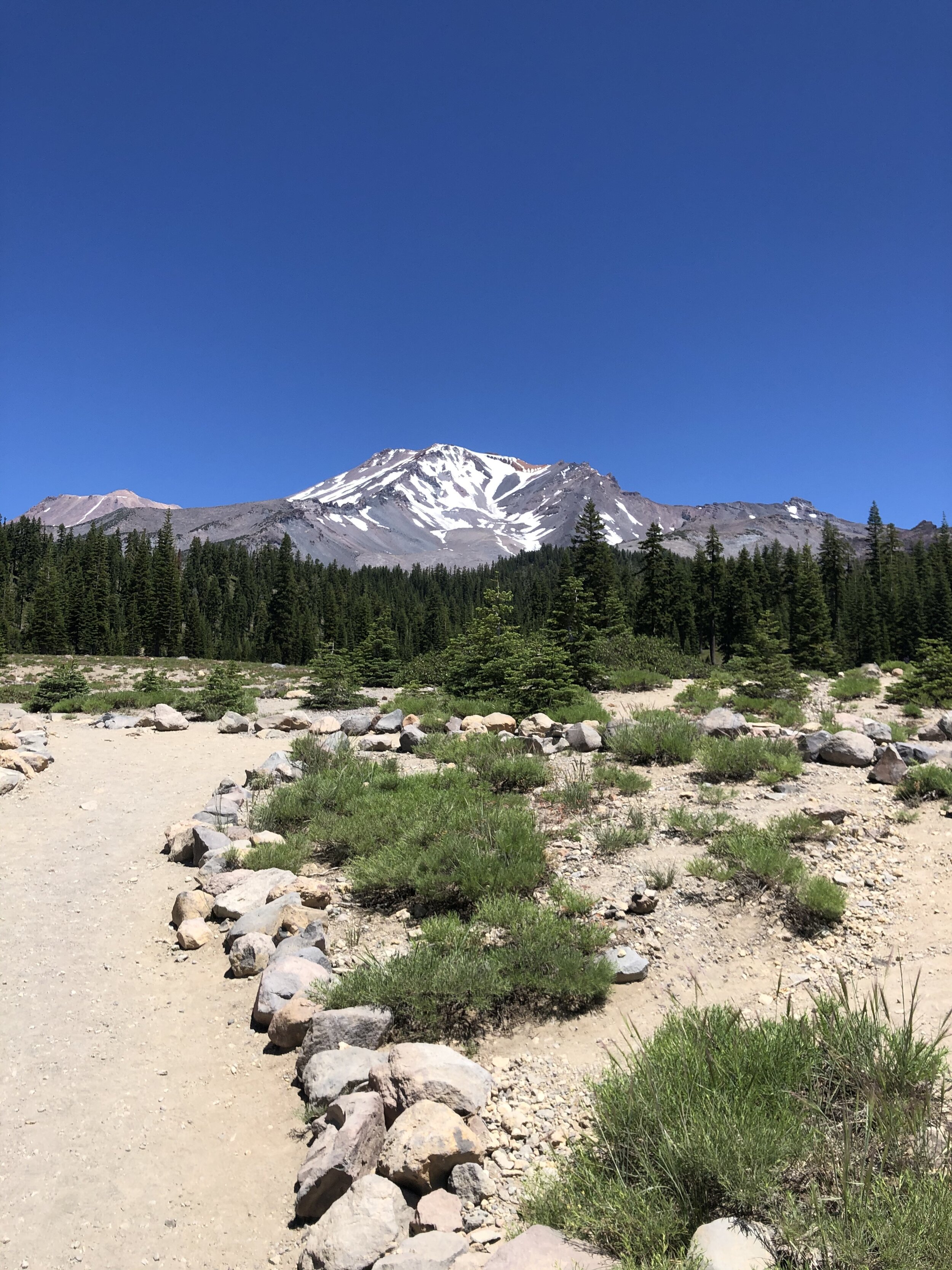
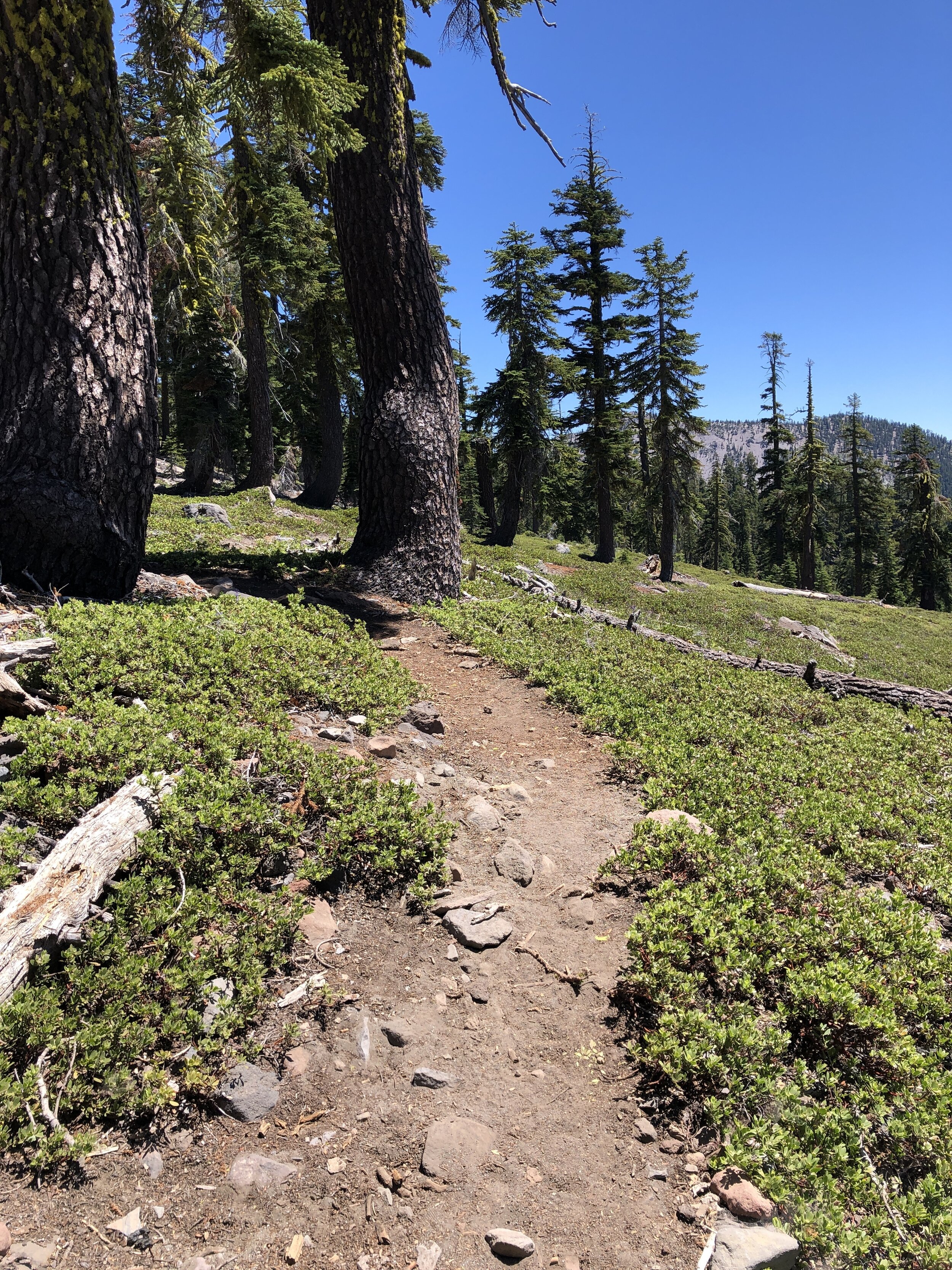
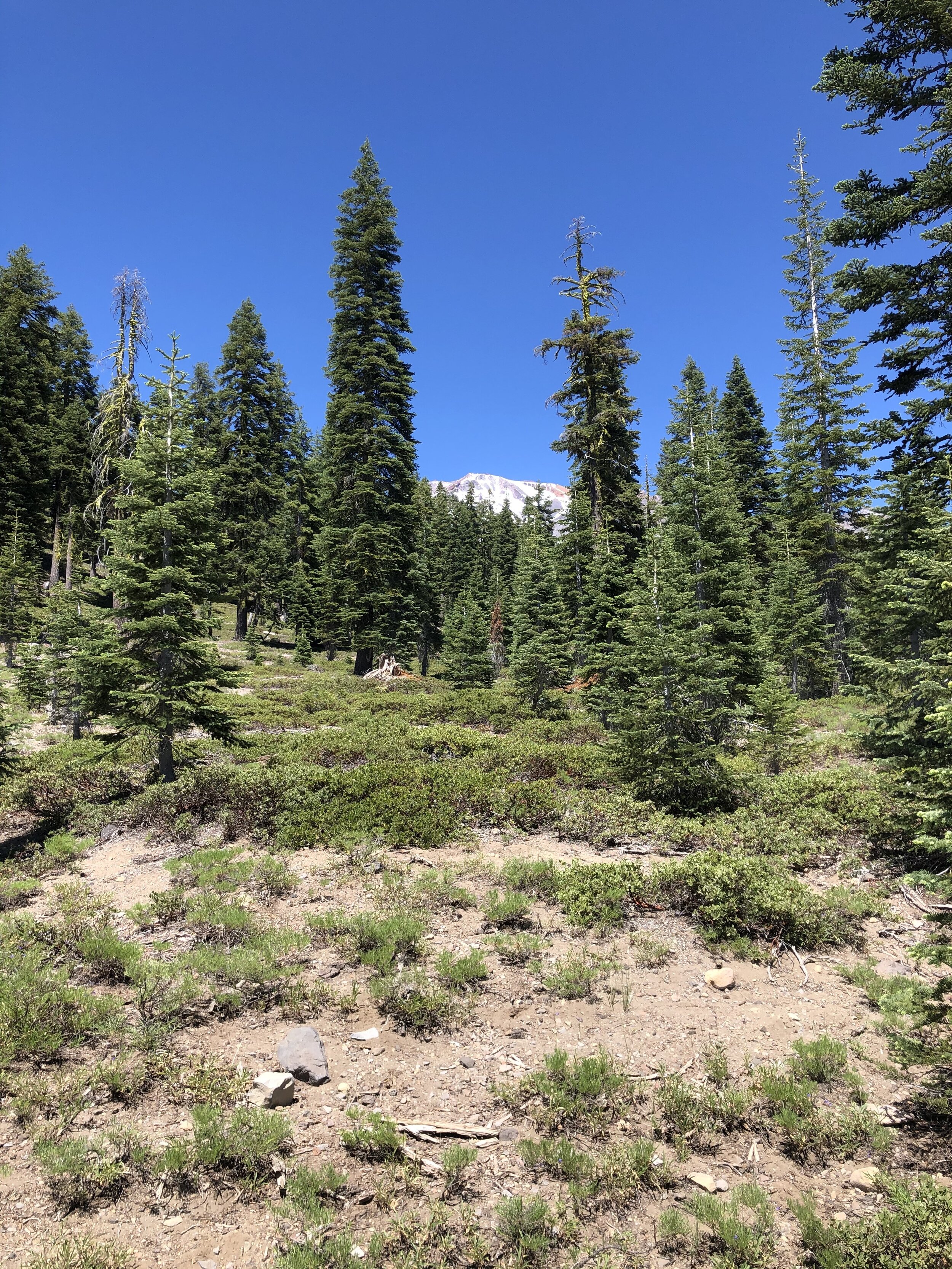
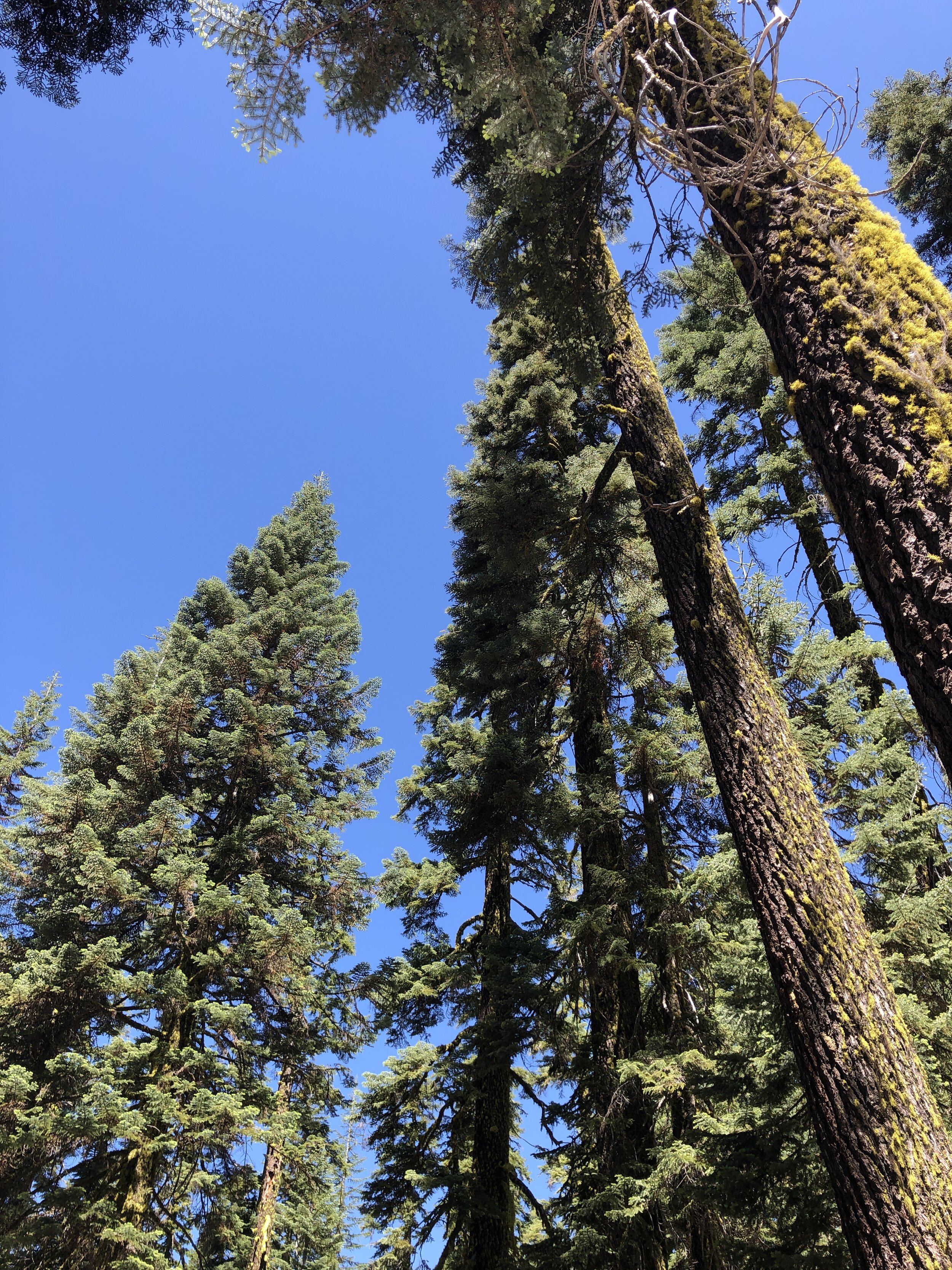
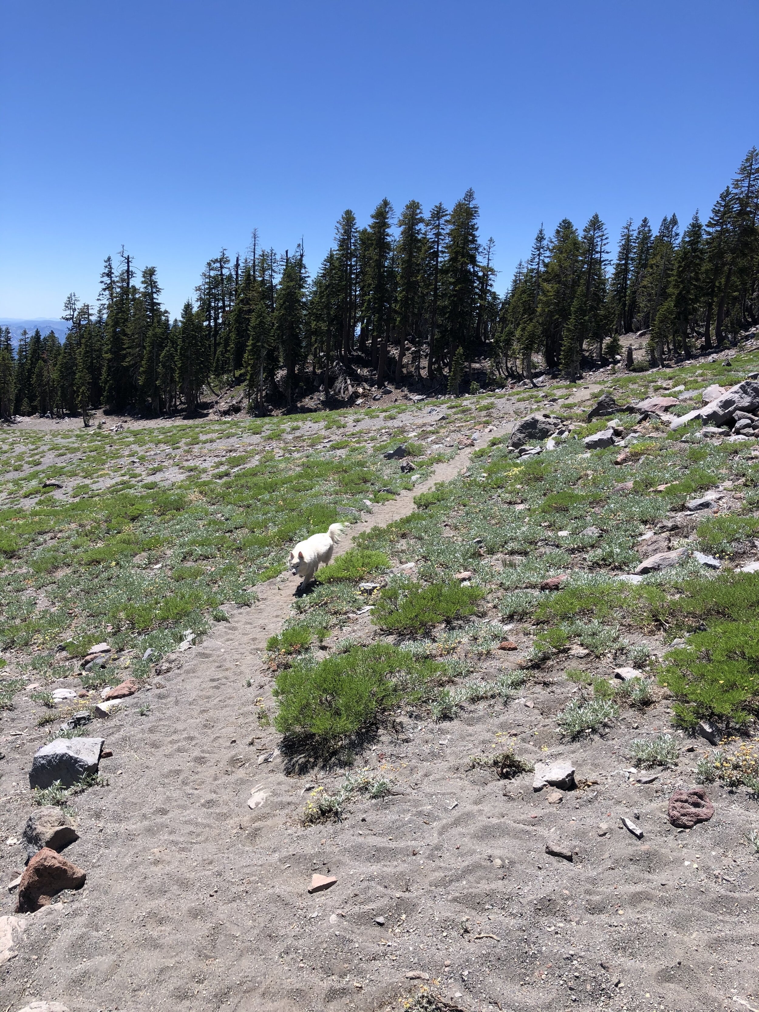
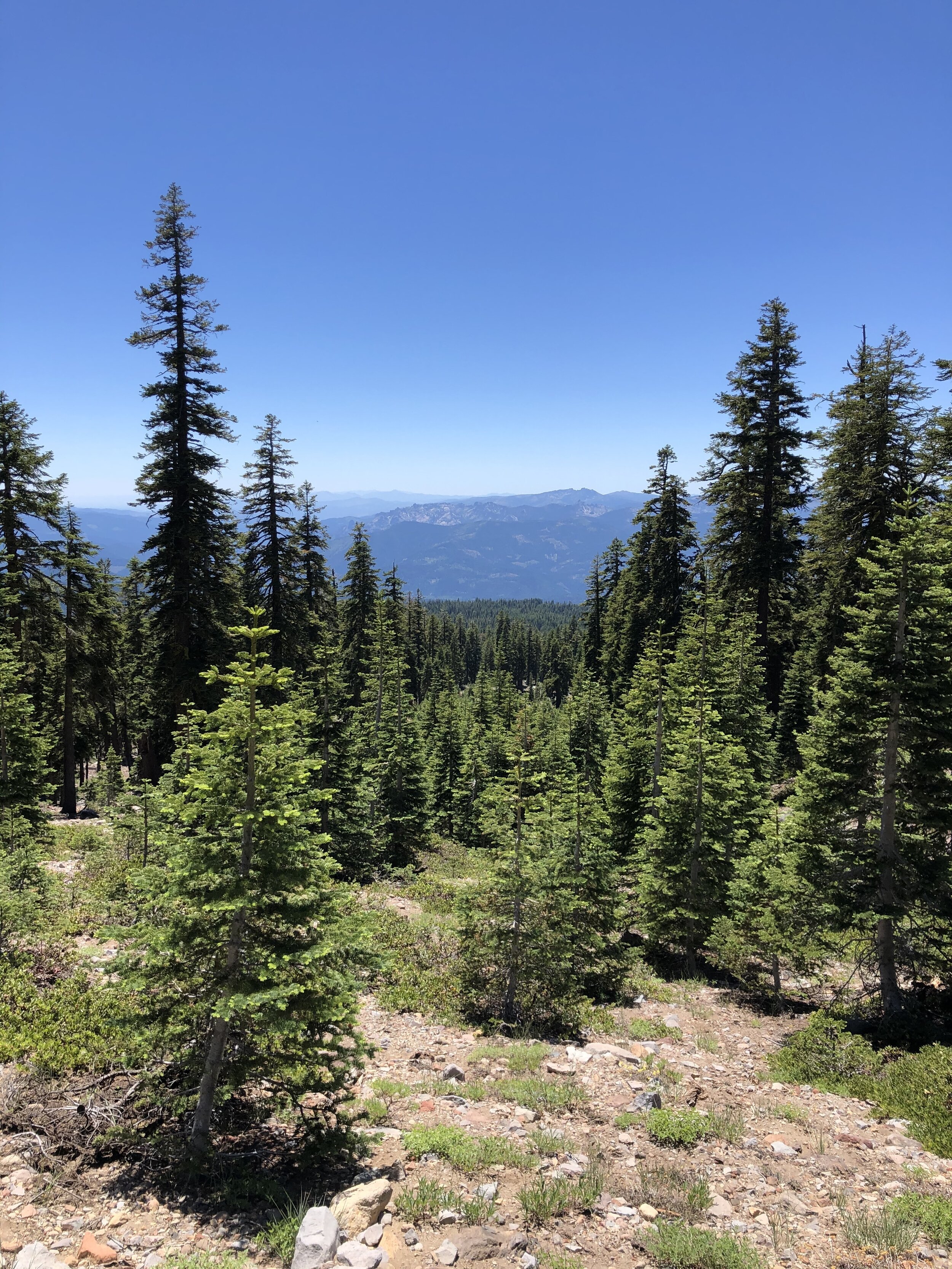
There was one other thing that stood out about my trip to Mount Shasta. Since Addie and I hung around the campsite more often than usual, we got friendly with some of the inhabitants at the time. One night while there, I was invited to a drum circle-type gathering. I didn’t necessarily want to go, but I had a “when in Rome” moment. It was…interesting. There were people around a fire playing different instruments, smoking weed, and conversing. I was certainly out of my comfort zone, but everyone was very welcoming.
The Lost Coast
In the first few months of my year on the road, my friend Jared, with whom I met up in Southern California, recommended that I go to The Lost Coast. I didn’t know what exactly it was, but I knew I needed to go after researching it.
I had to do a little snooping around online to understand where exactly “The Lost Coast” is and what it is. It’s a California coastline stretch that stretches from Shelter Cove to the south and Mattole River to the north. The land is underdeveloped, with no major roads or highways to get you there. It was named The Lost Coast in the 1930s after the area experienced depopulation. There are little to no signs of habitation. Let’s just say I made sure I had a full tank of diesel before heading there.
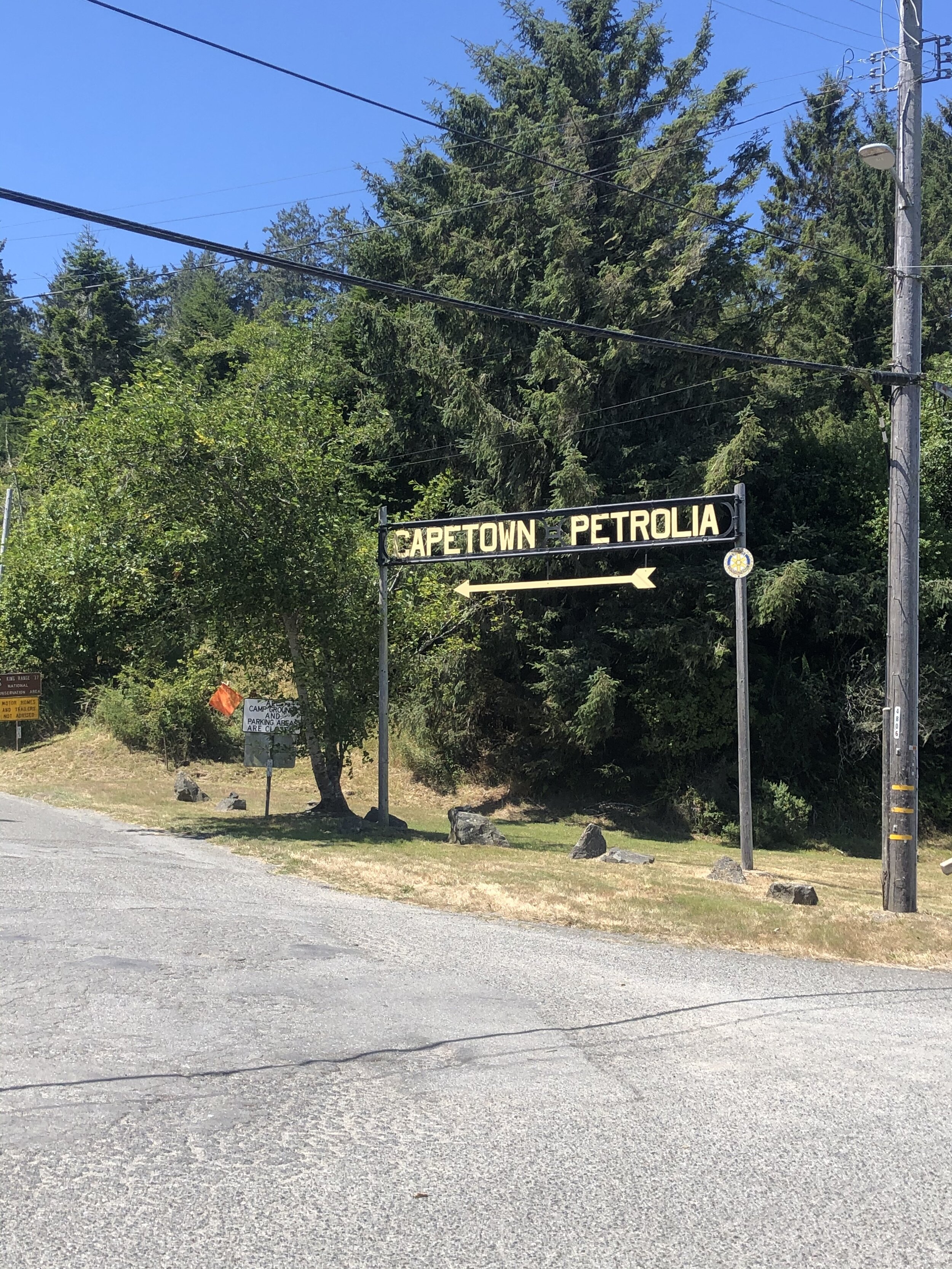
There are various access points and sections of The Lost Coast. Based on where I was camping, I started my exploration from a small town called Ferndale and headed south. I found the “entrance” right outside of town and headed for the unknown on a narrow, roughly paved road.
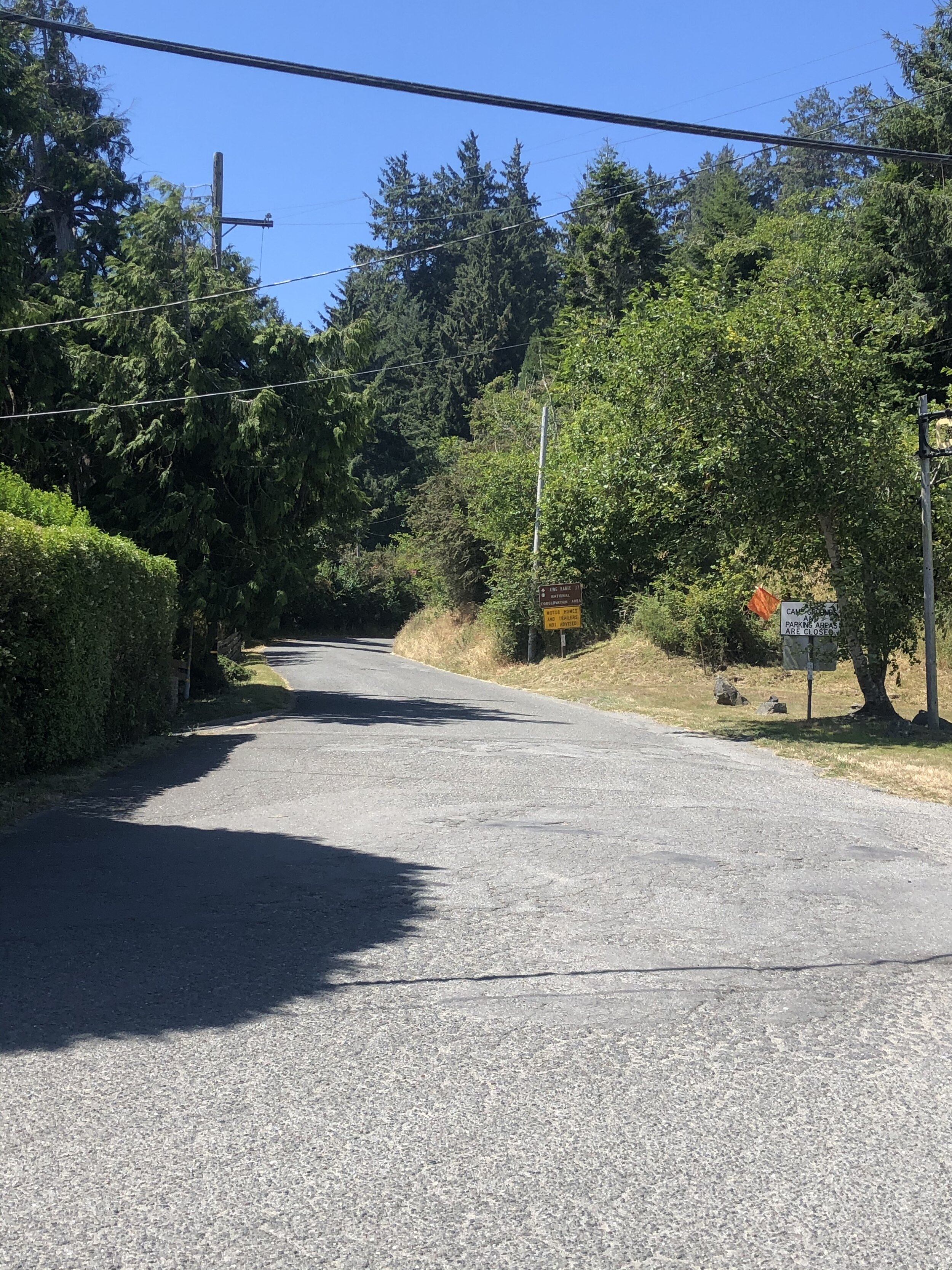
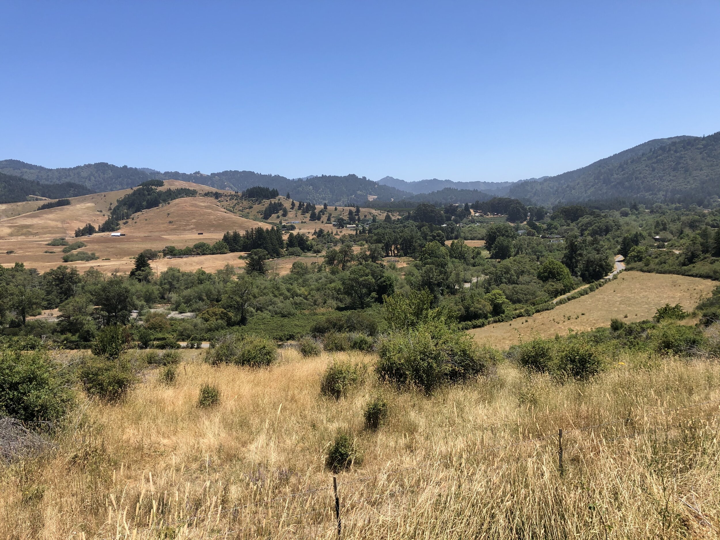
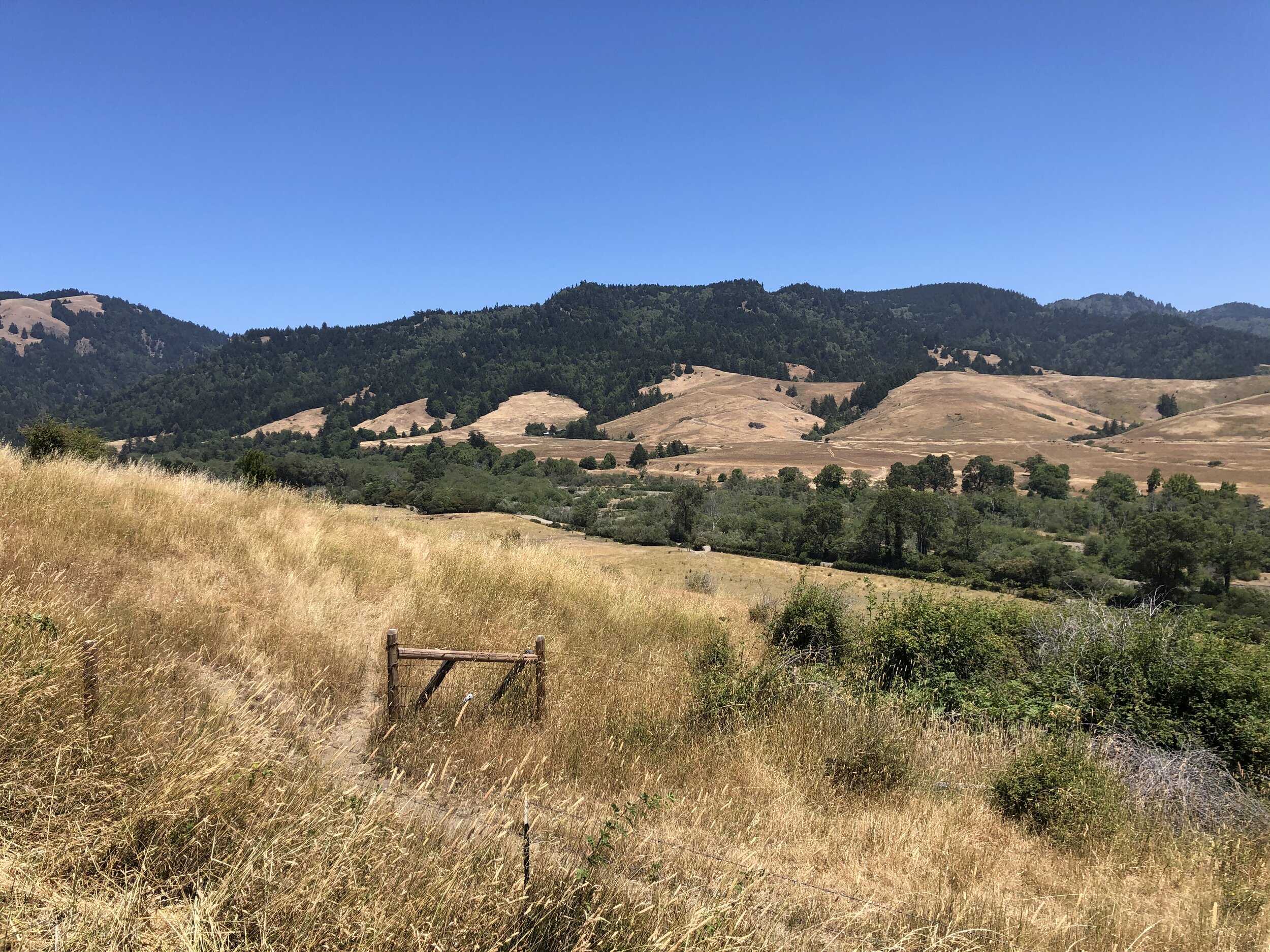
The long road wound through huge meadows, hills, and cattle. At times, the road turned into a single lane or dirt, and I wasn’t sure what was ahead. Eventually, coming over a large hill after driving for hours, I got a glimpse of the ocean. I was awestruck - it was a scene like nothing I had ever seen before. It was everything and nothing at the same time.
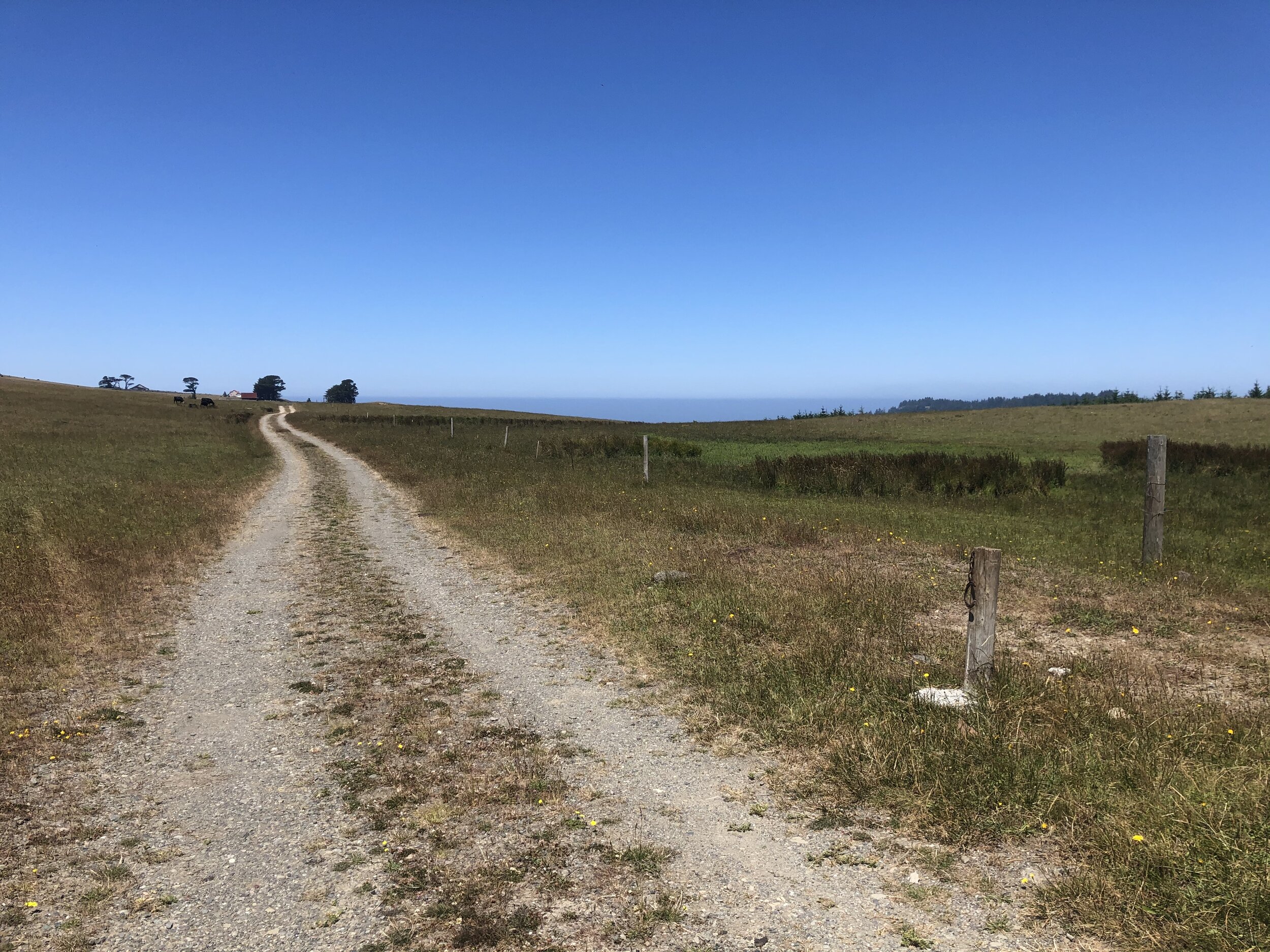
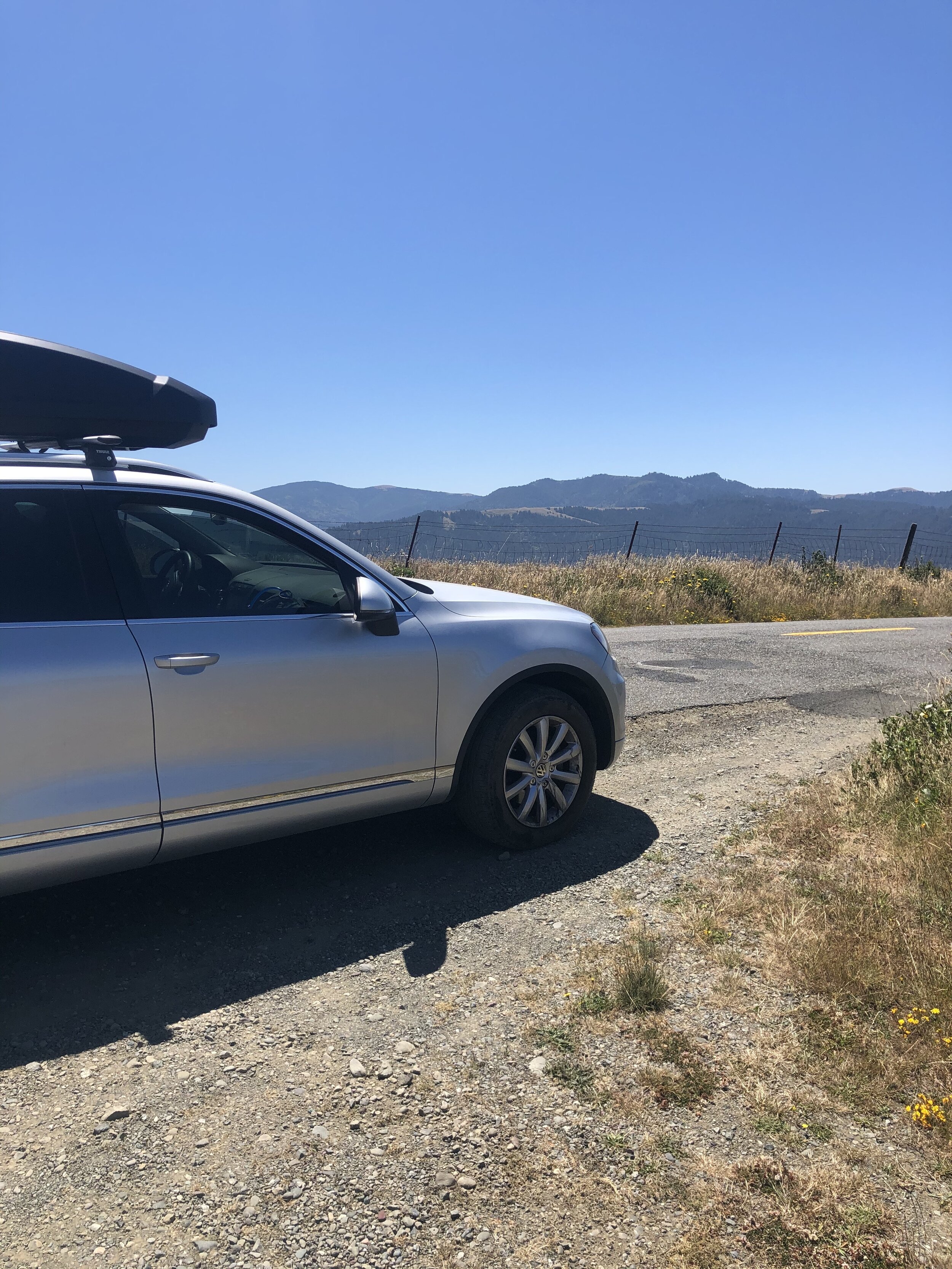
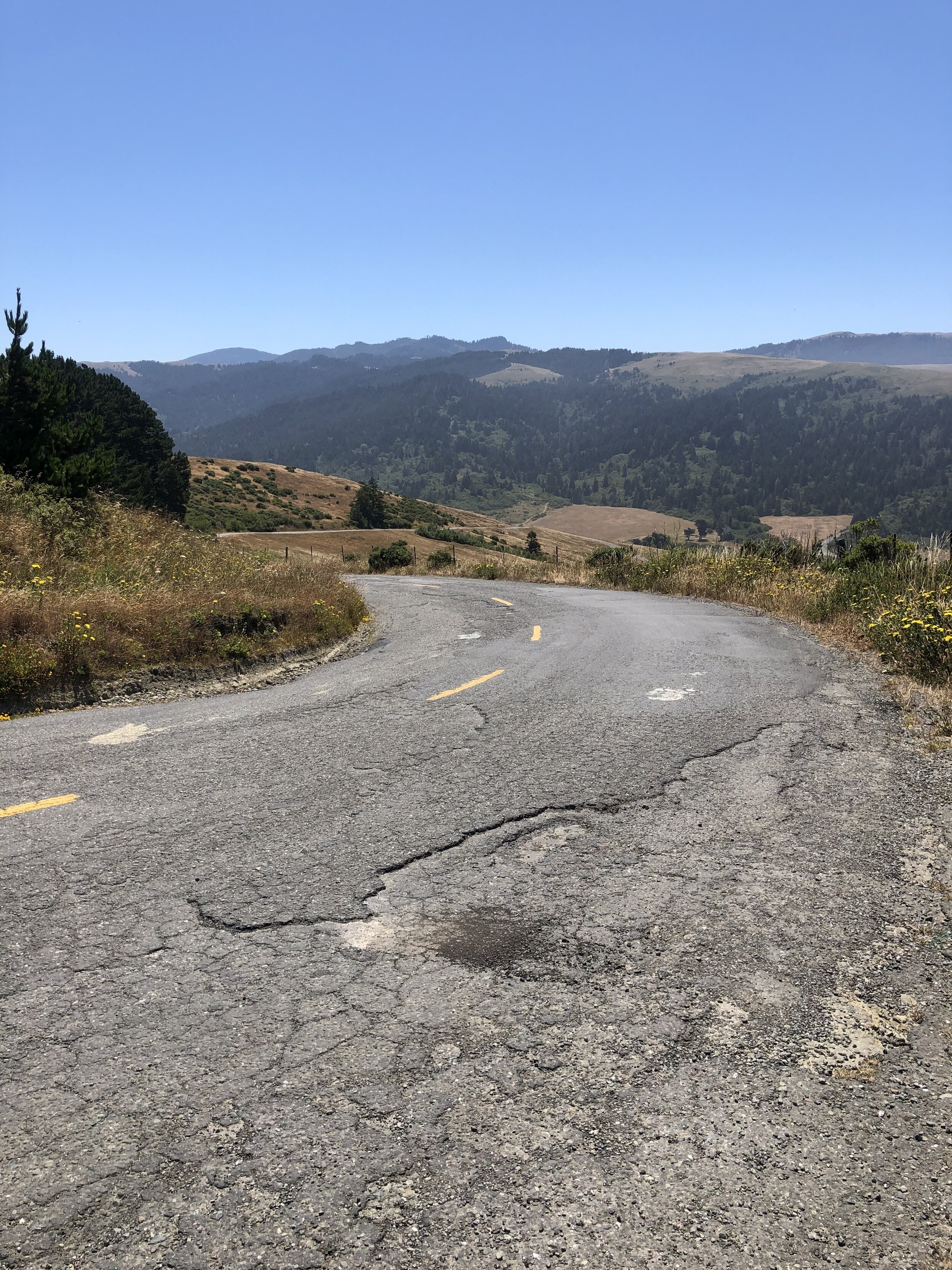
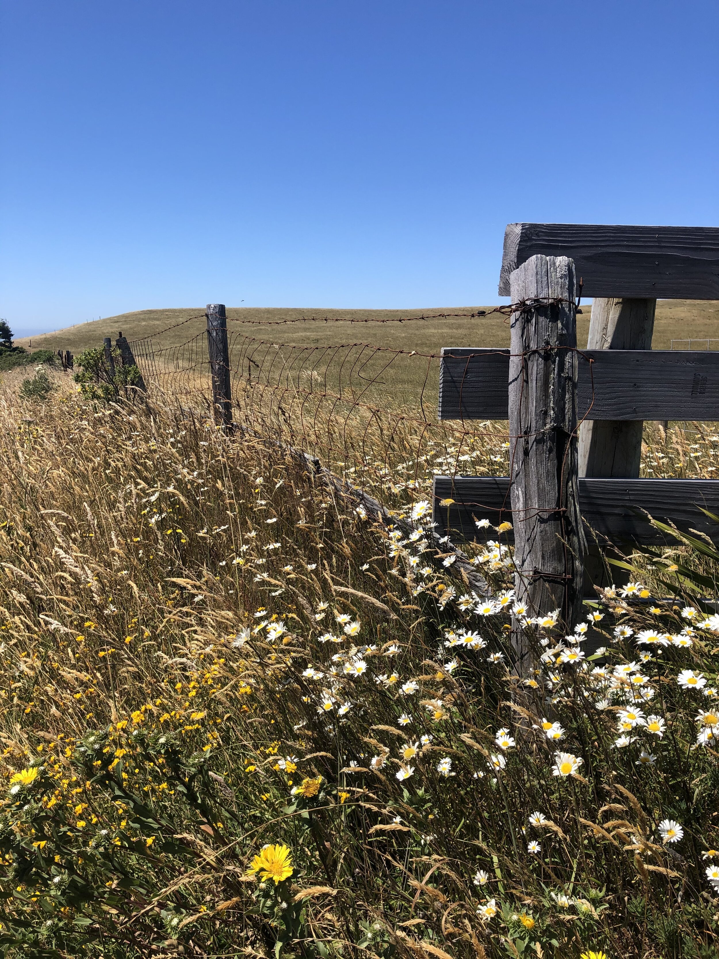
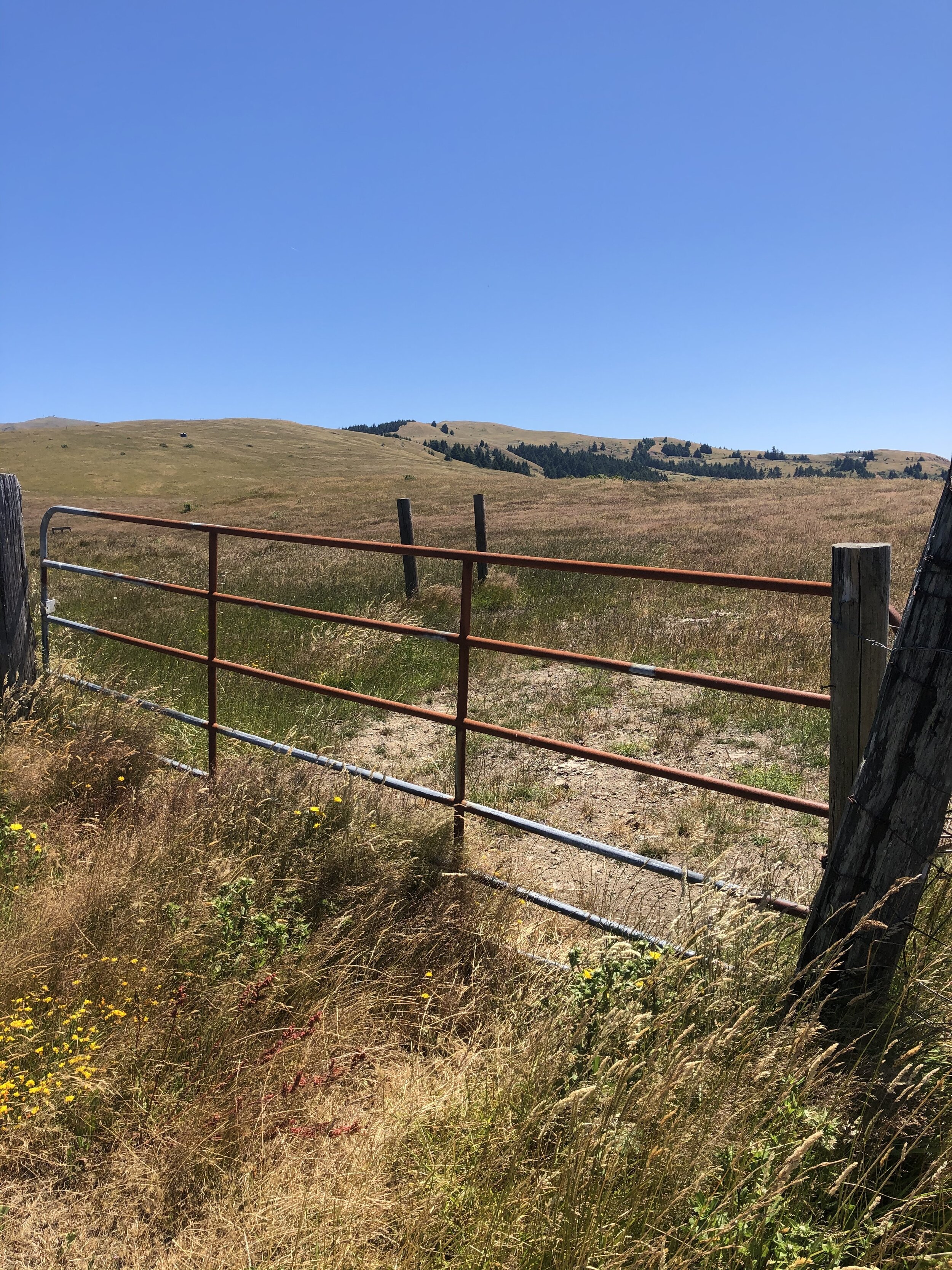
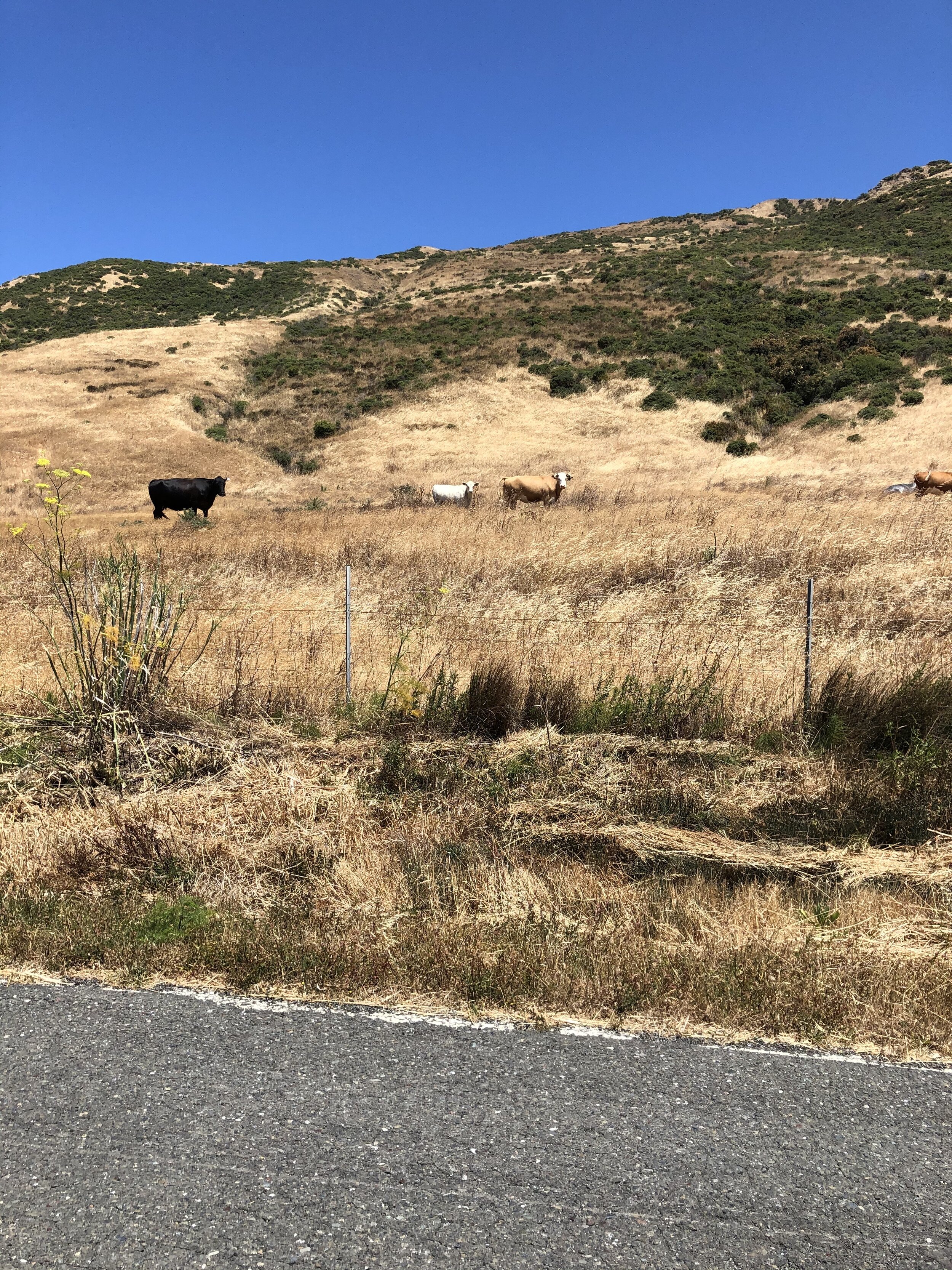
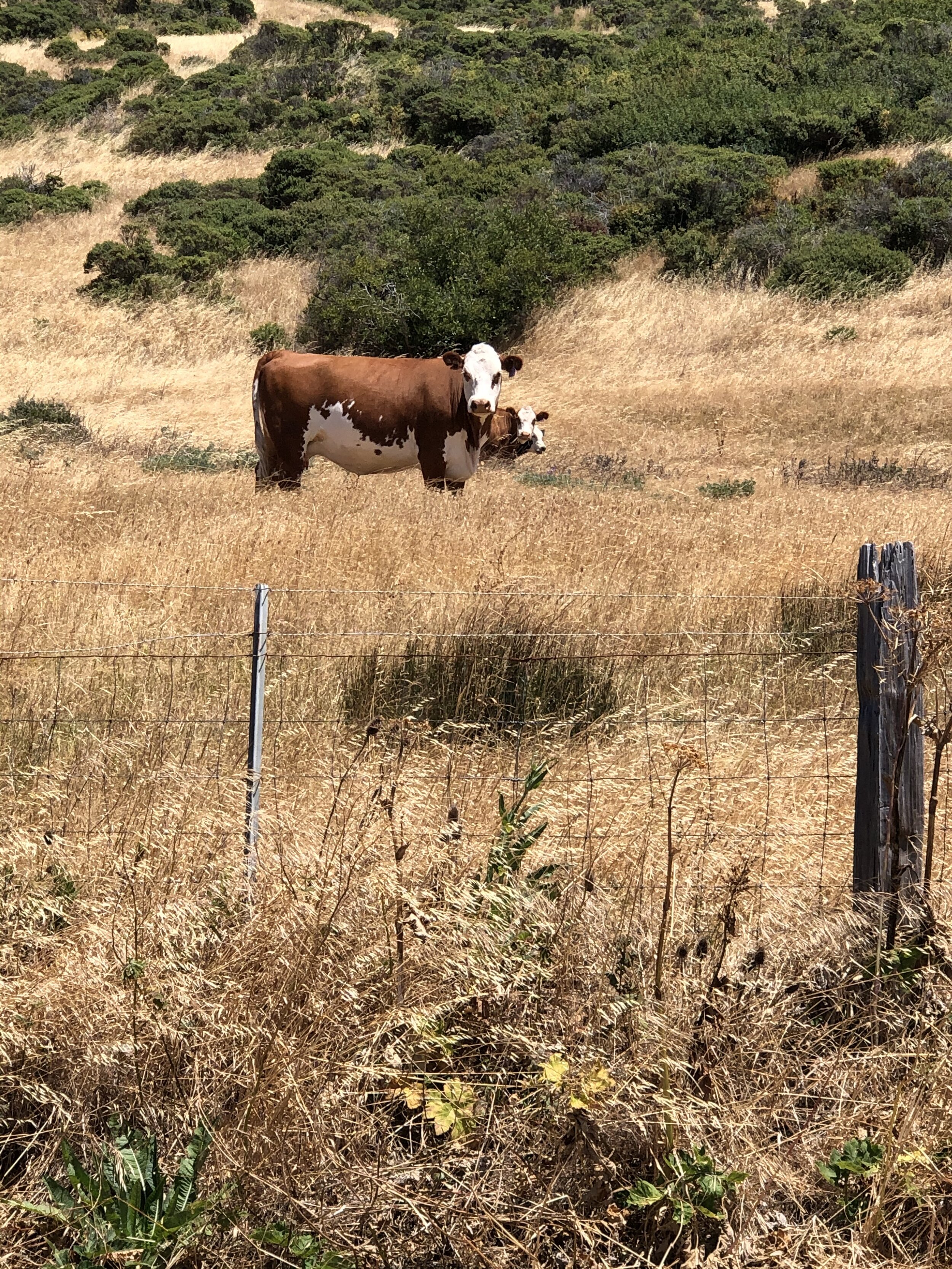
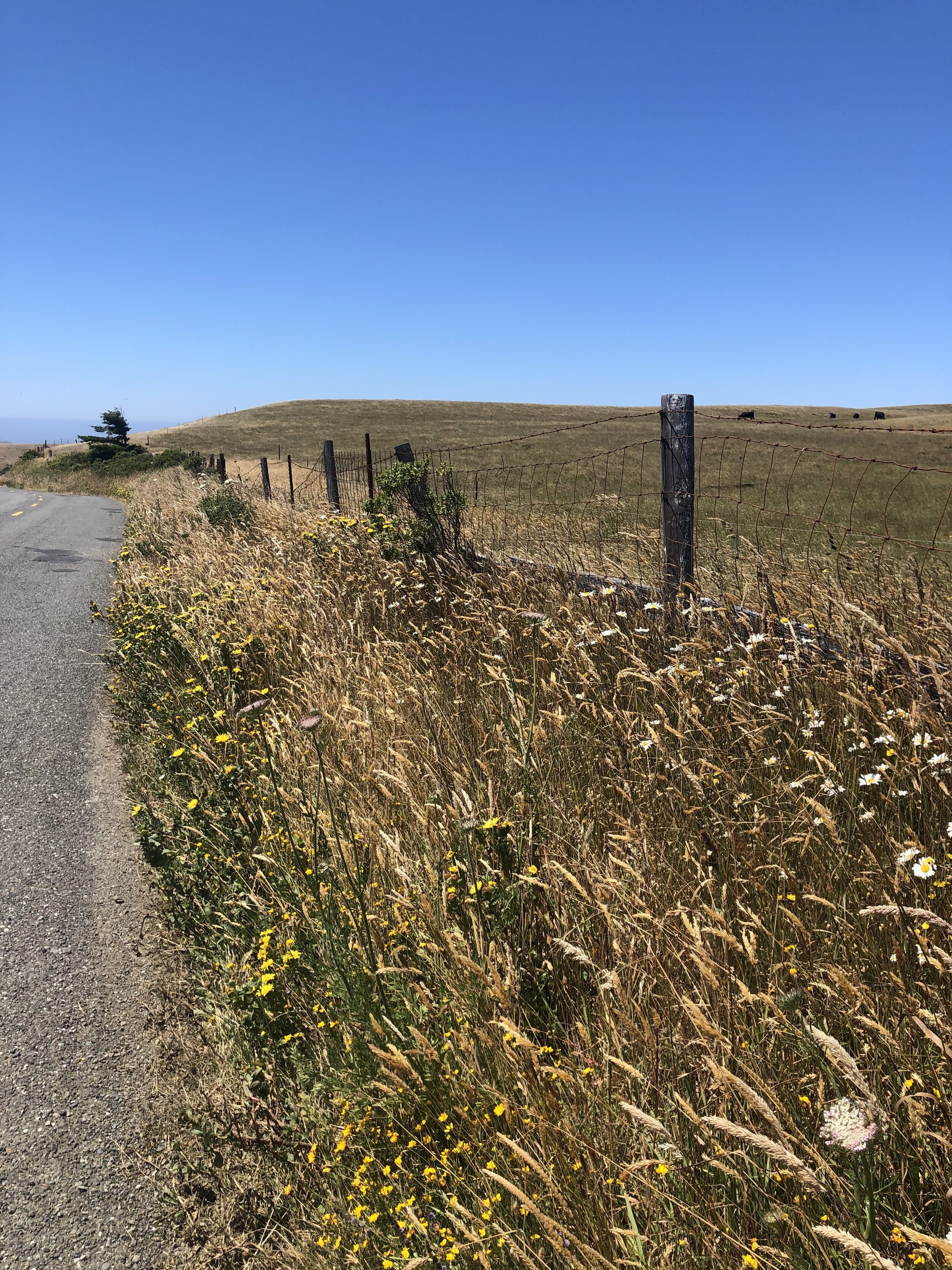
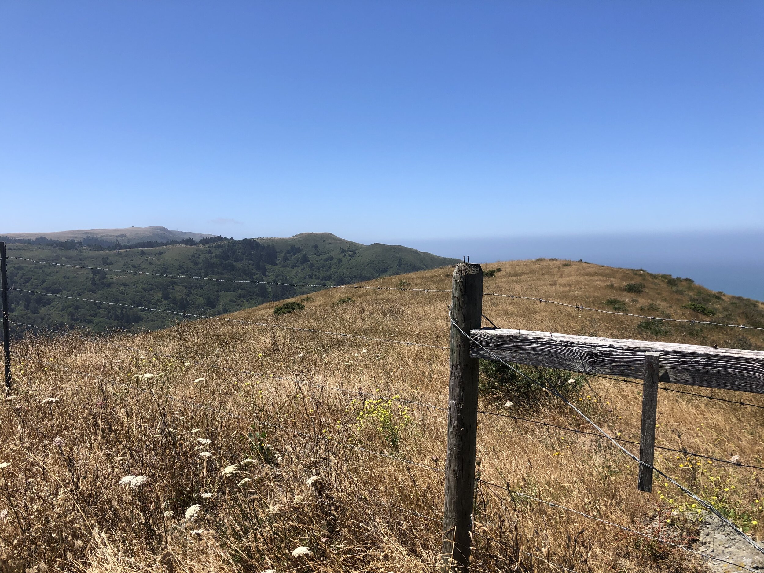
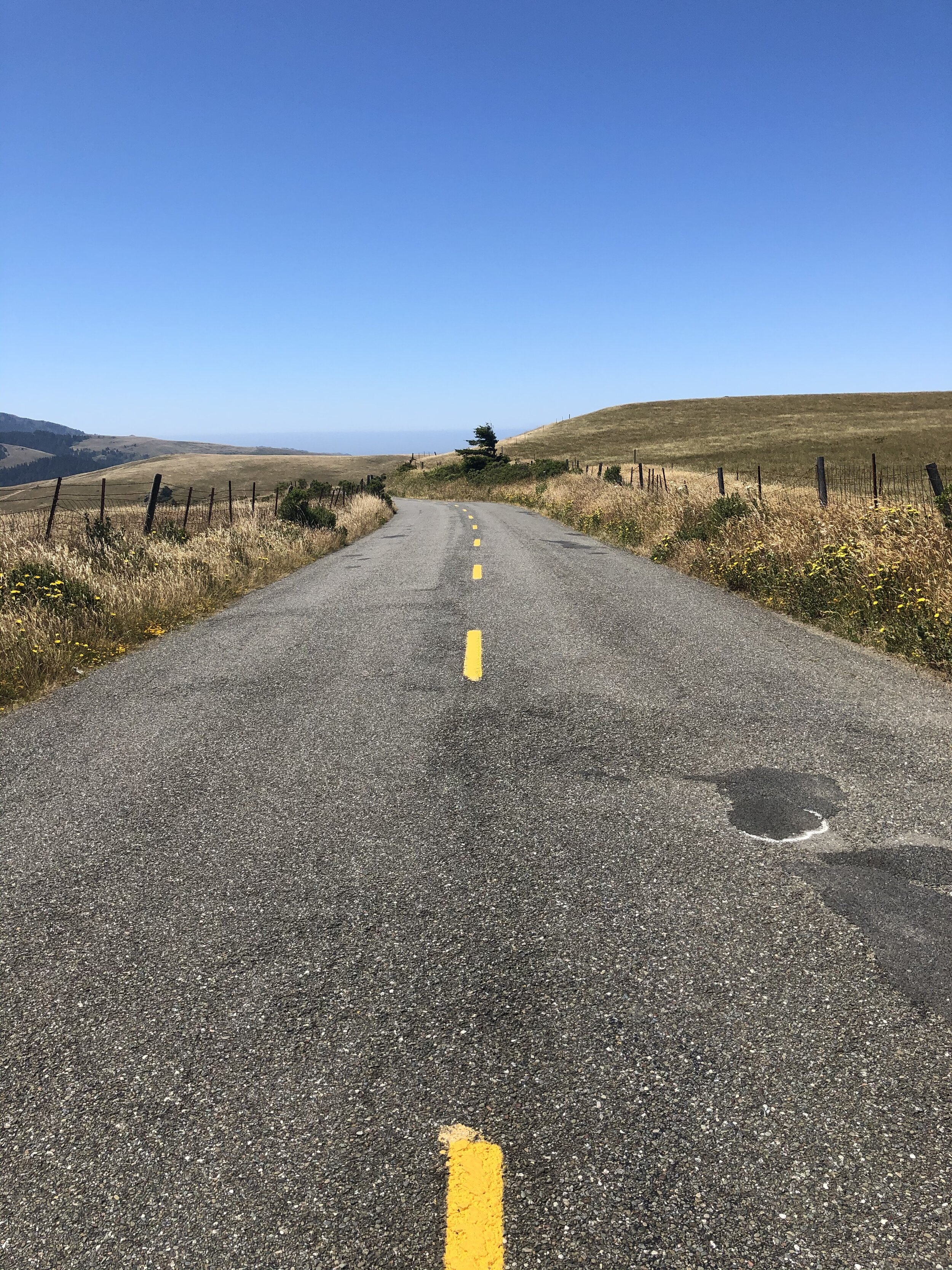
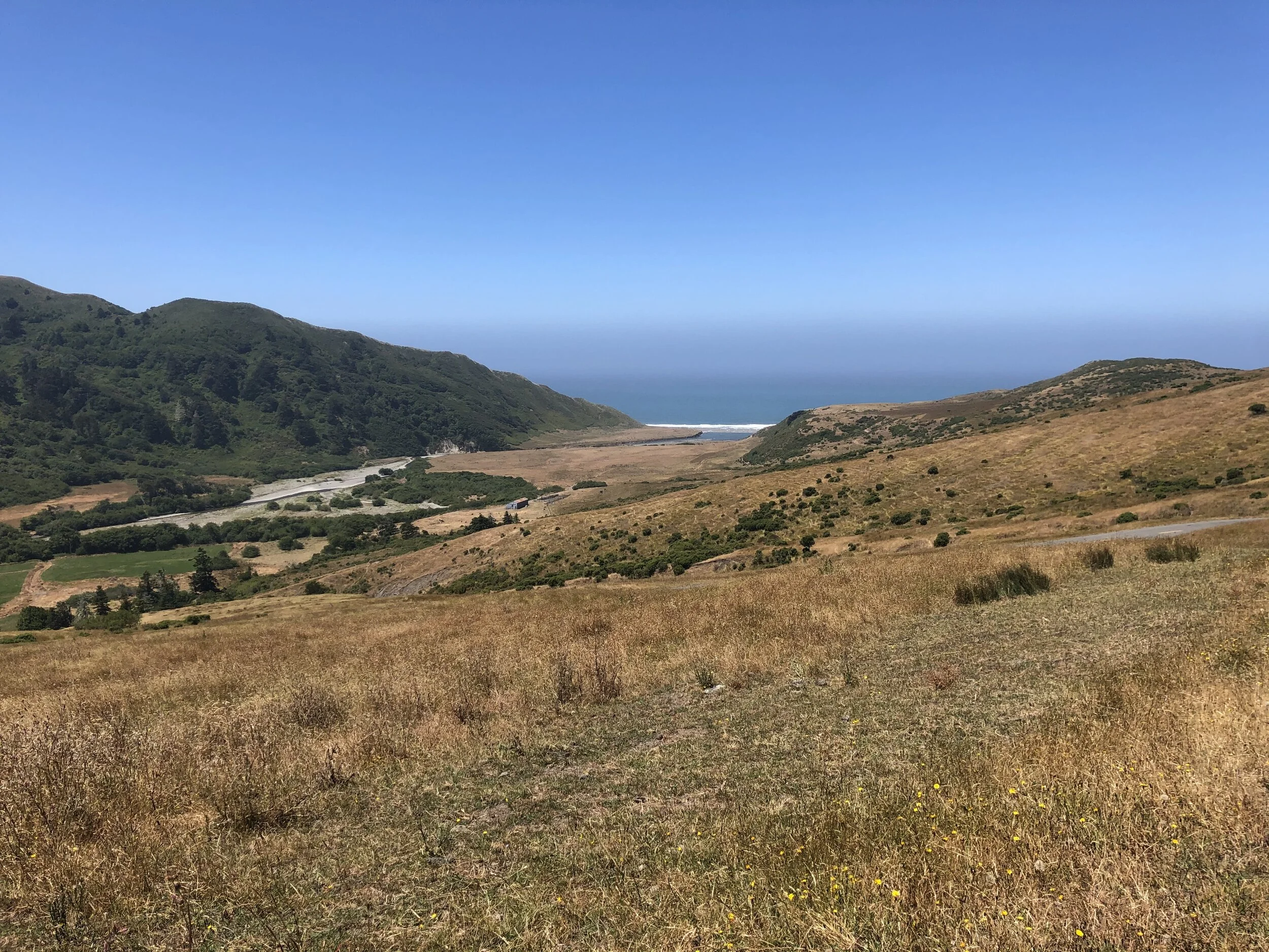
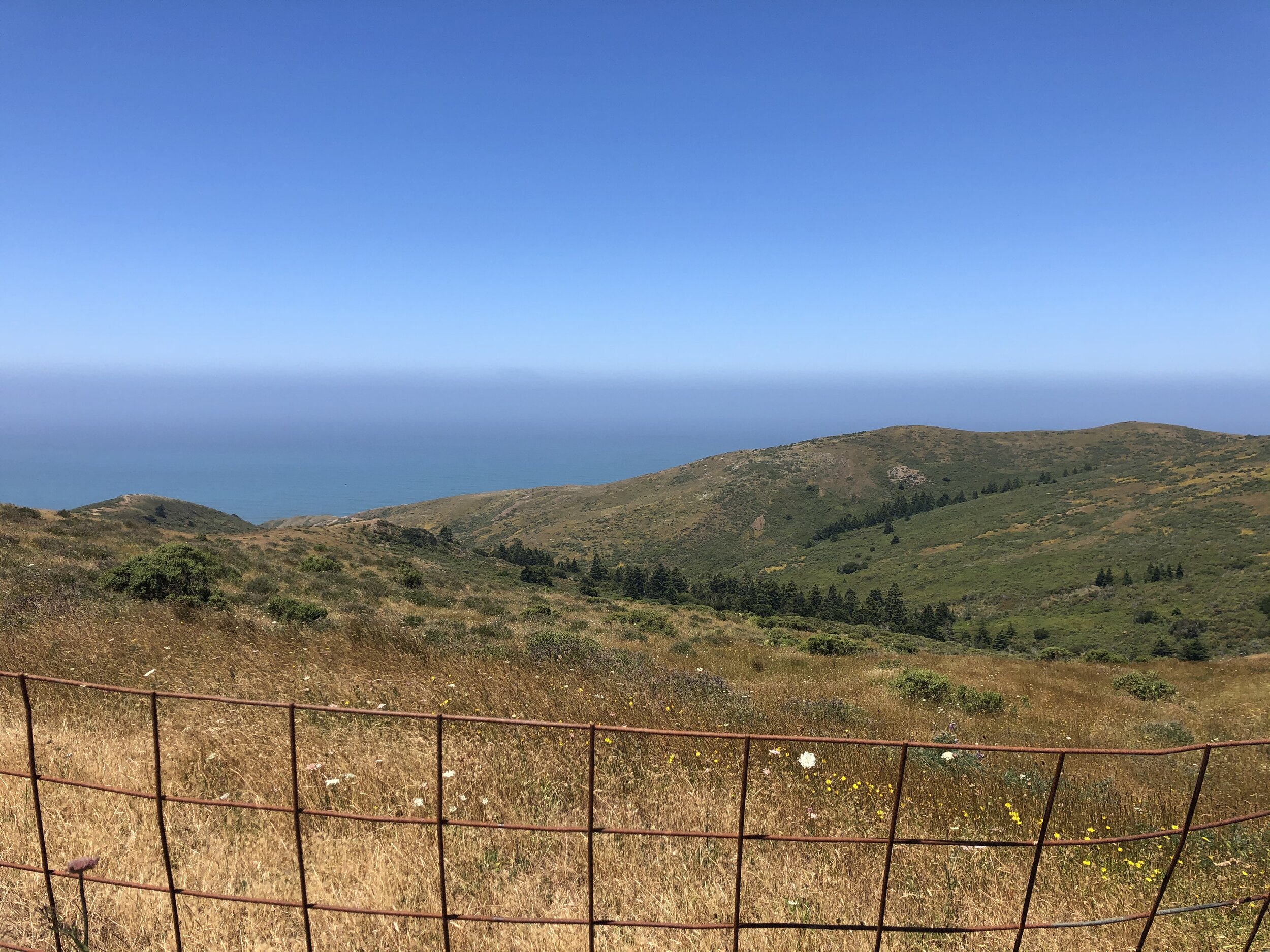
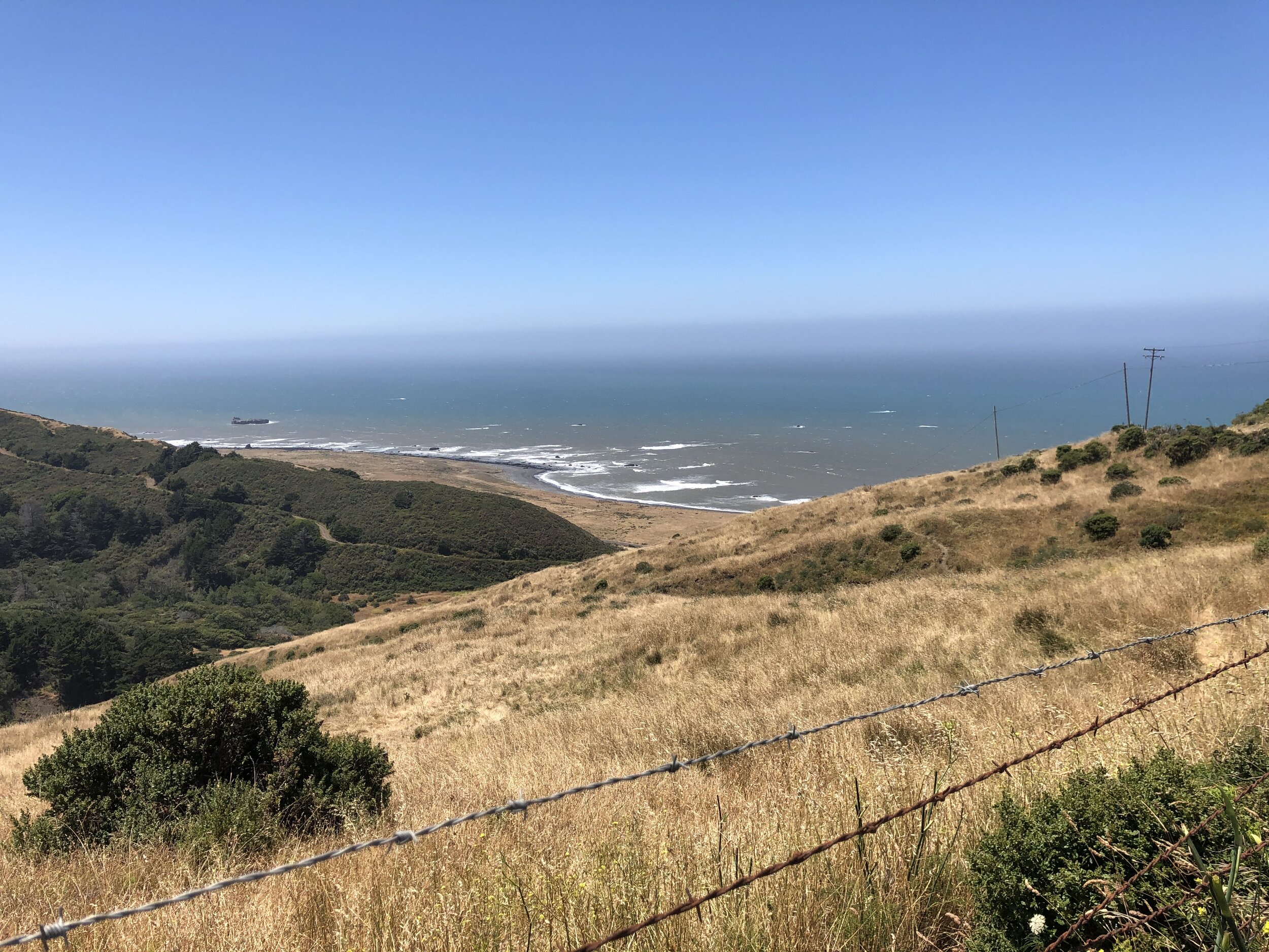
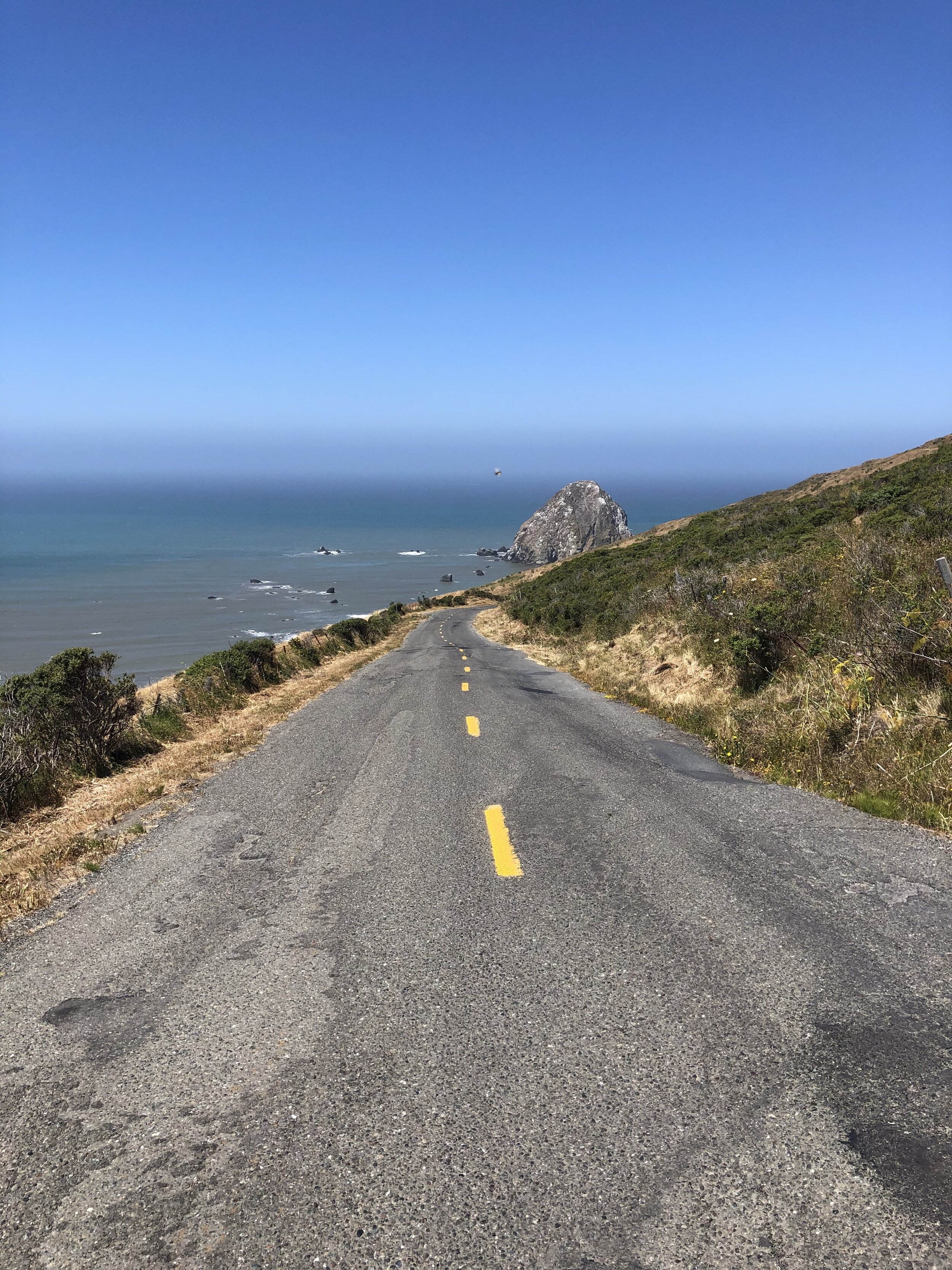
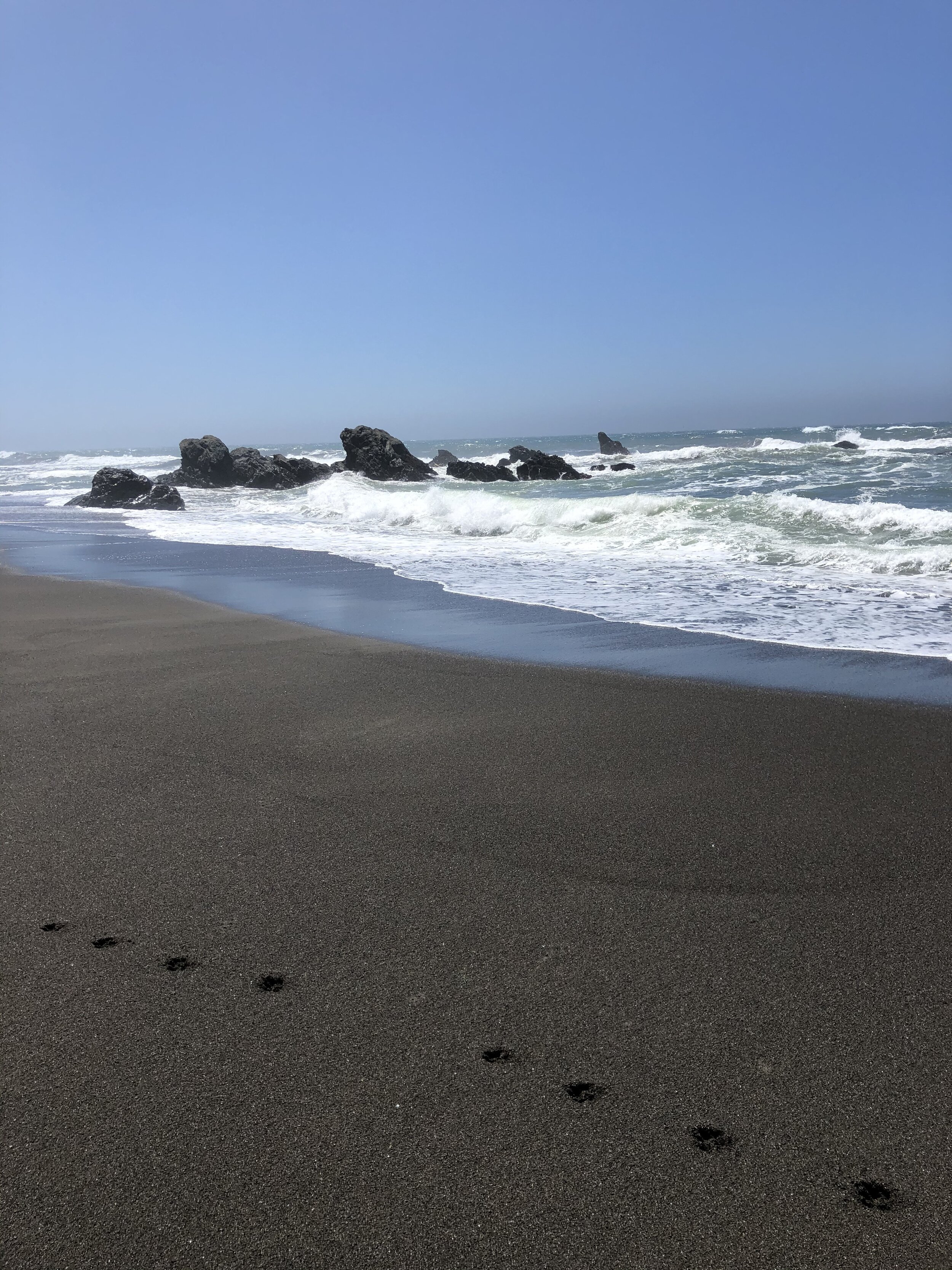
As soon as I could, I pulled over to get closer to the shoreline. Although very windy, Addie and I ventured to the water. The “sand” was black and coarse, and the water was clear and shiny. We were astonished at where we were. There was no one in sight; it was stunning, yet arguably a little eerie. The scene felt like one out of an Agatha Christie novel.
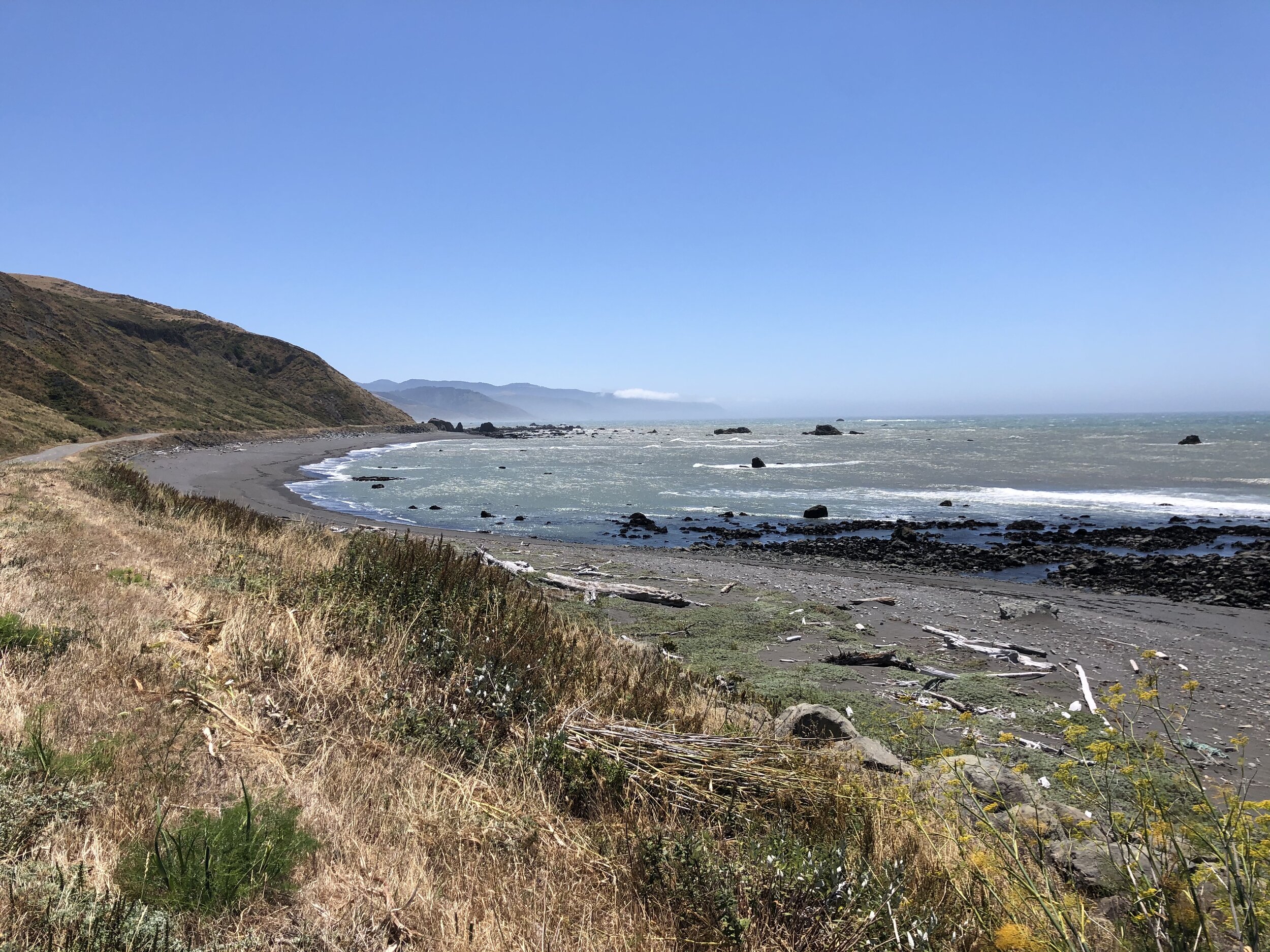
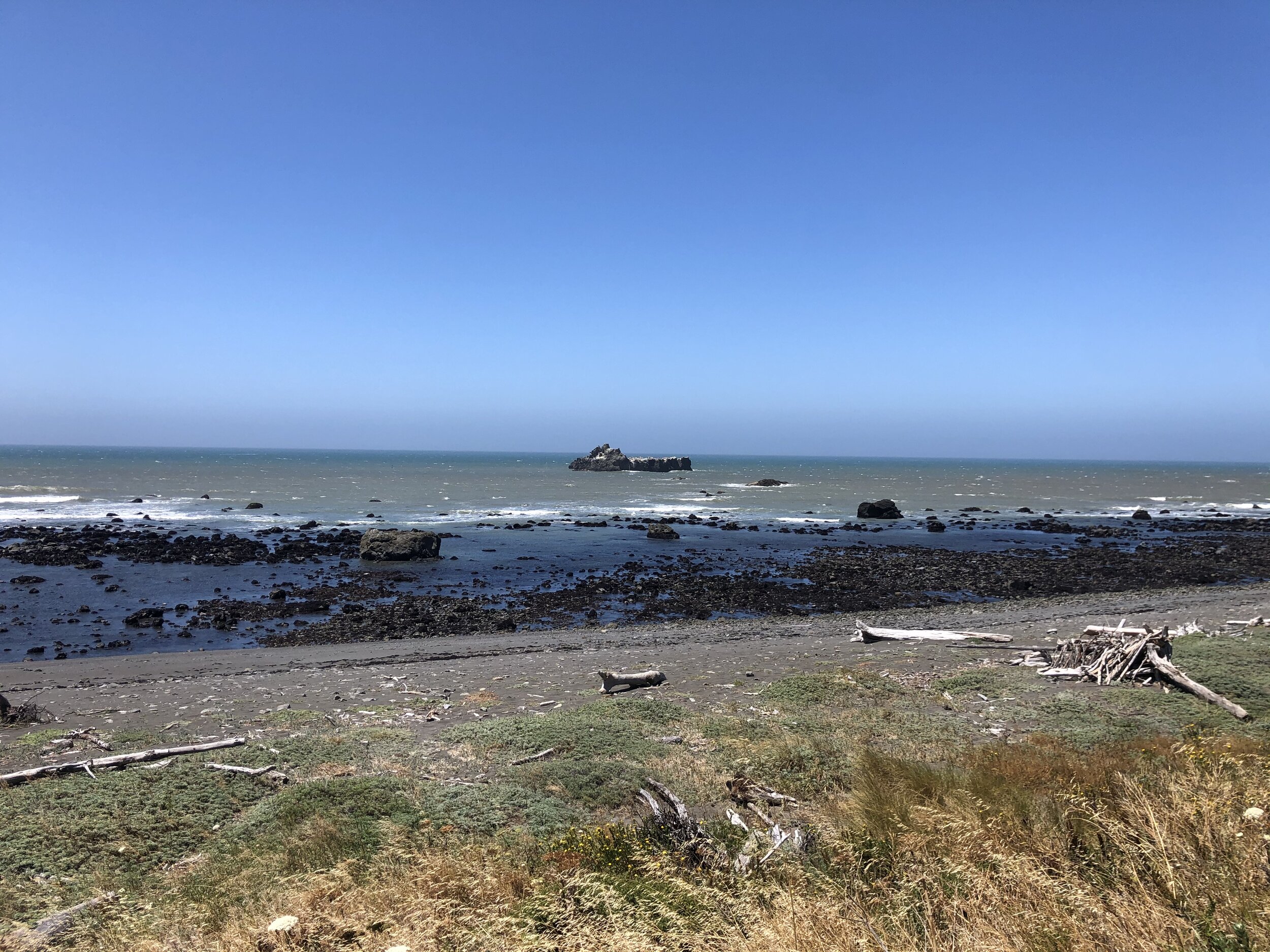
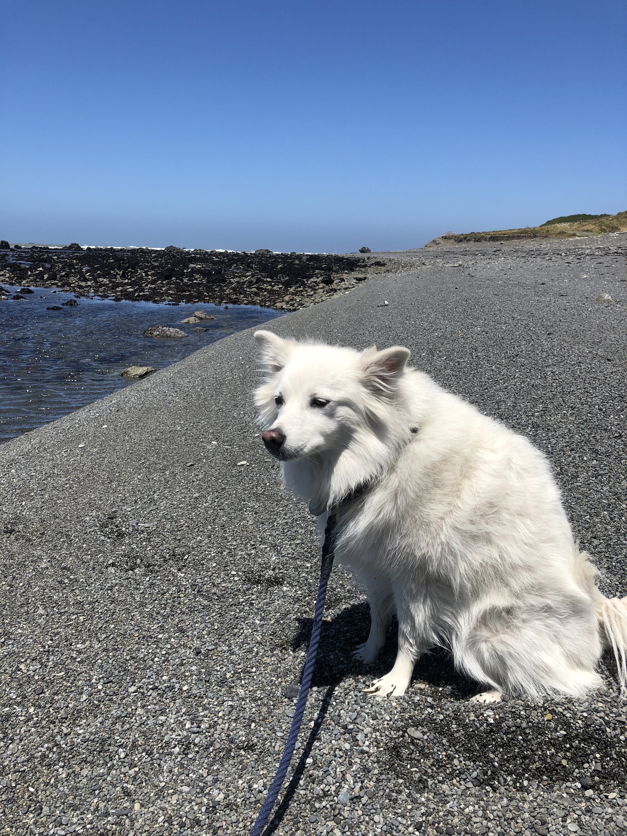
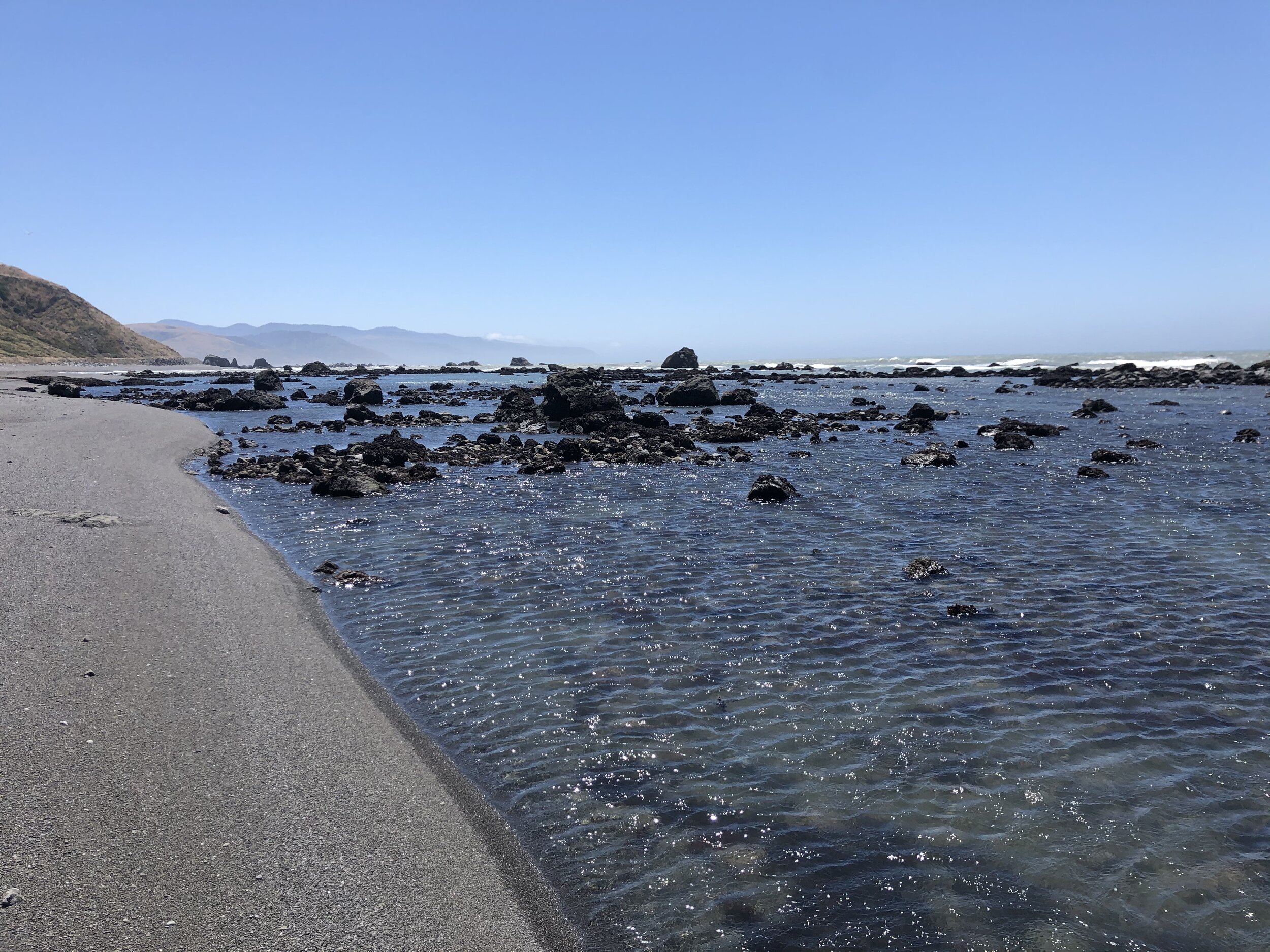
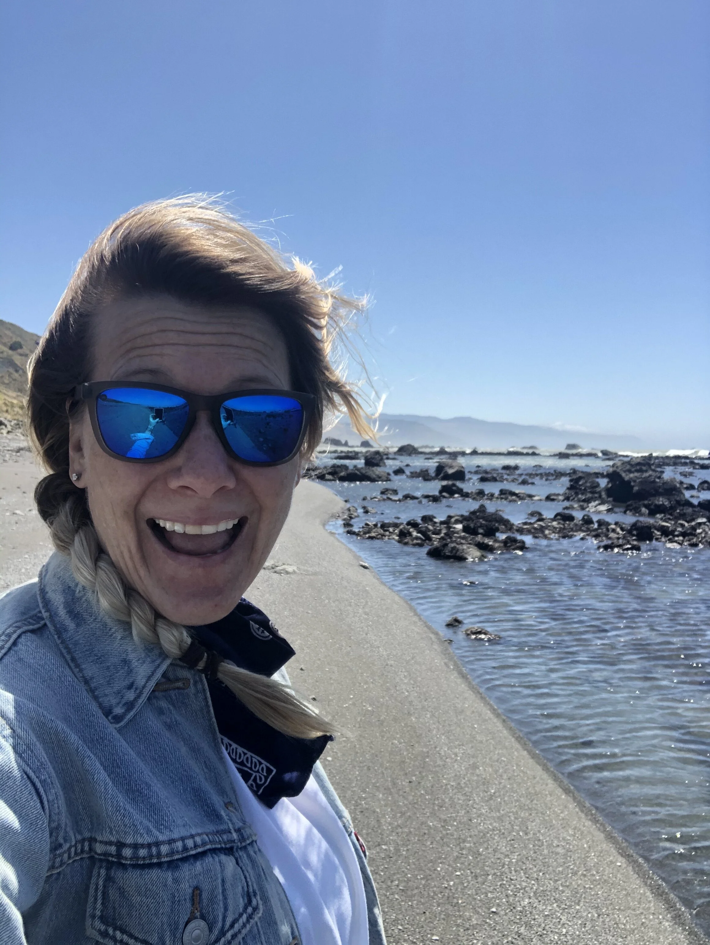
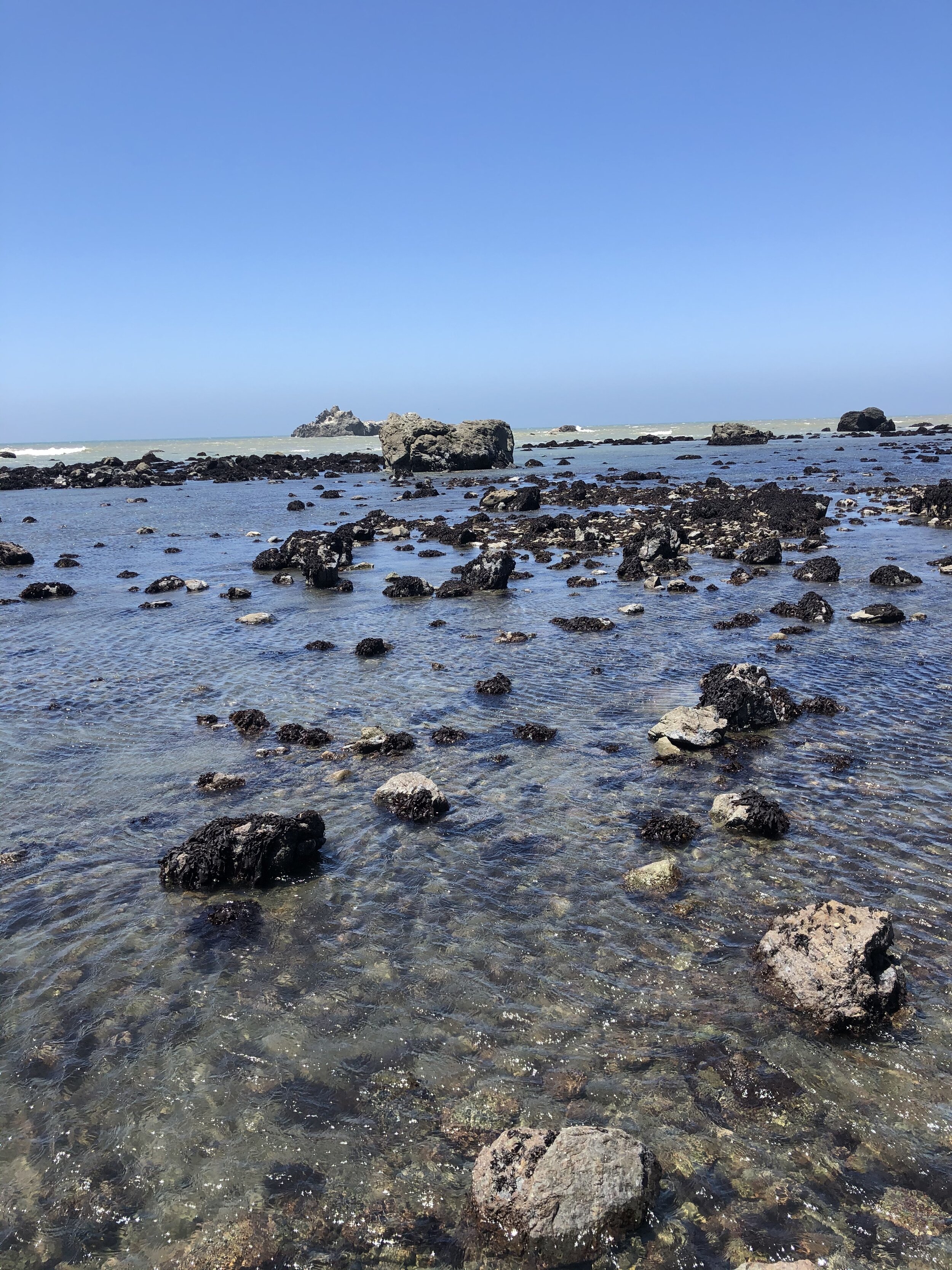

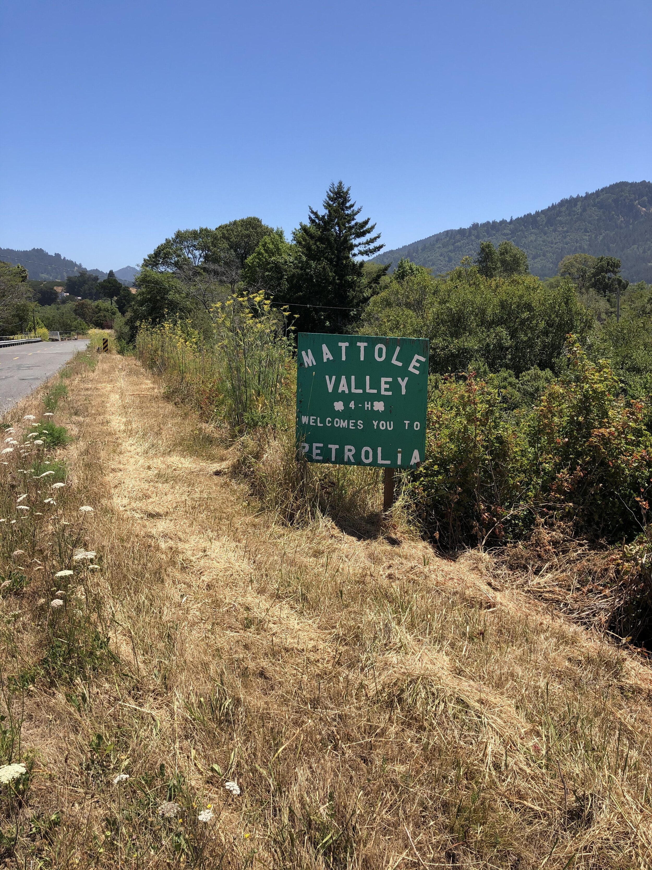
We hopped back into the car and continued on our way. There was so much more to explore. Through golden hills and windy roads, we arrived at Mattole Valley.
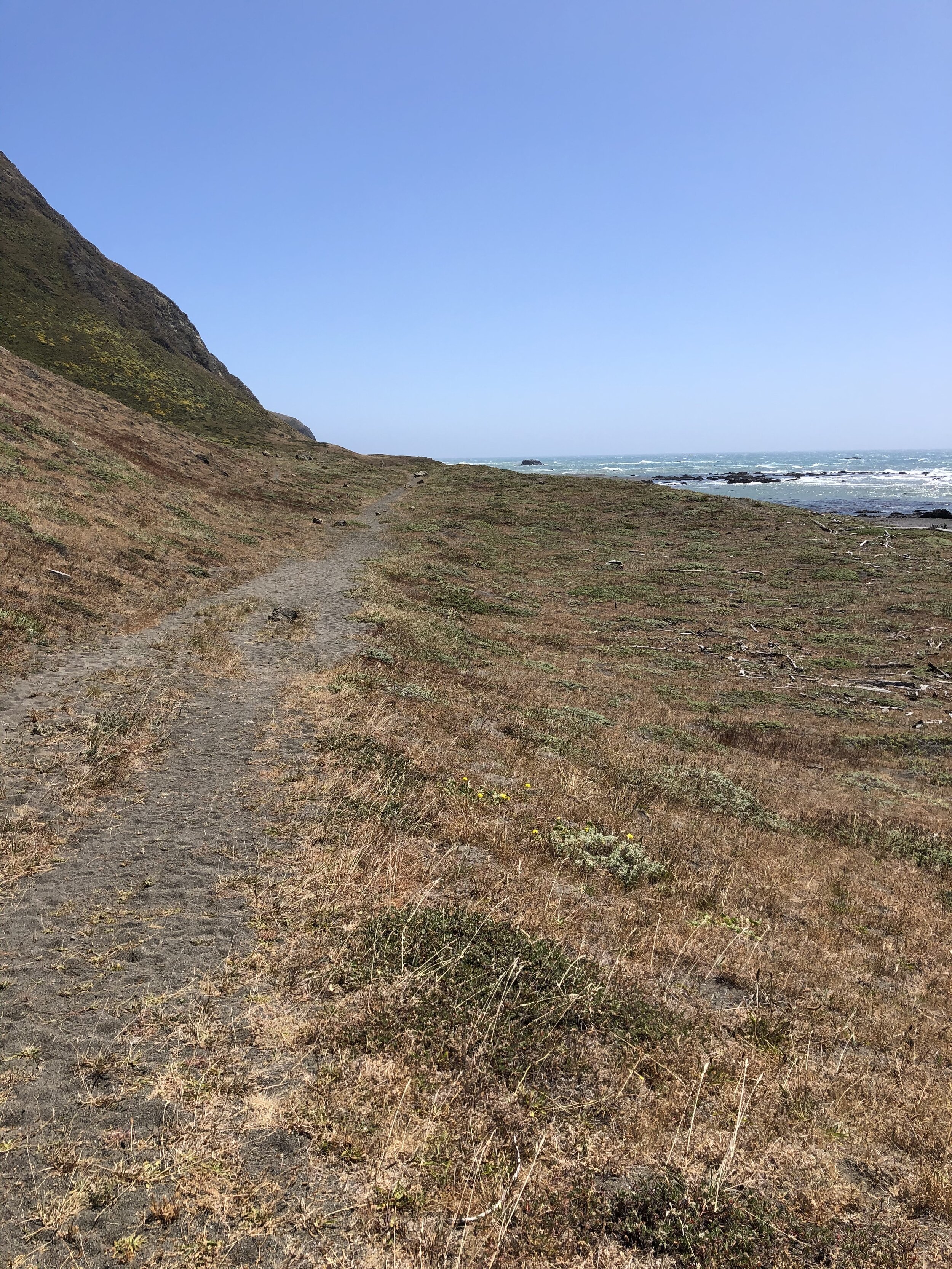
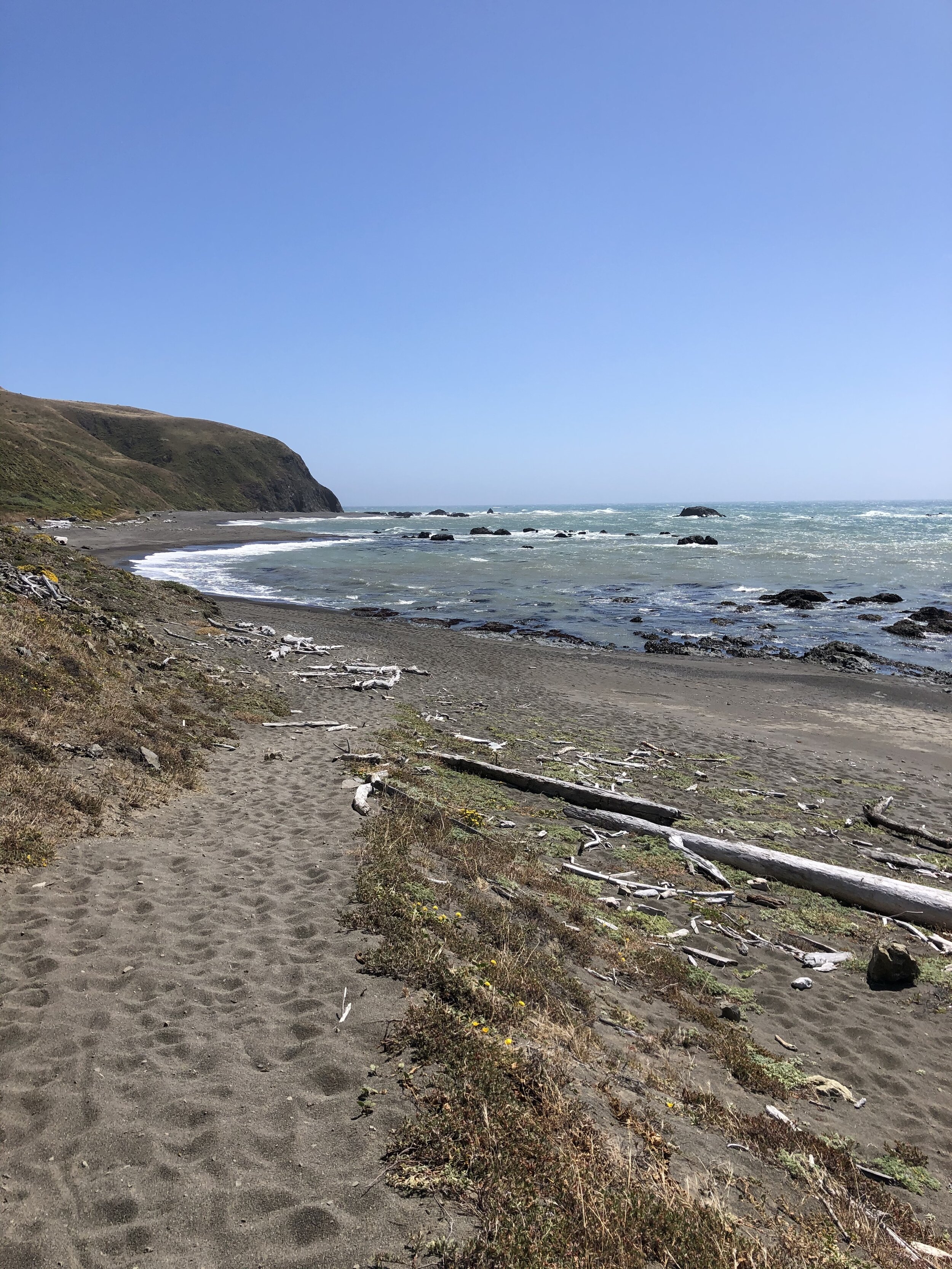
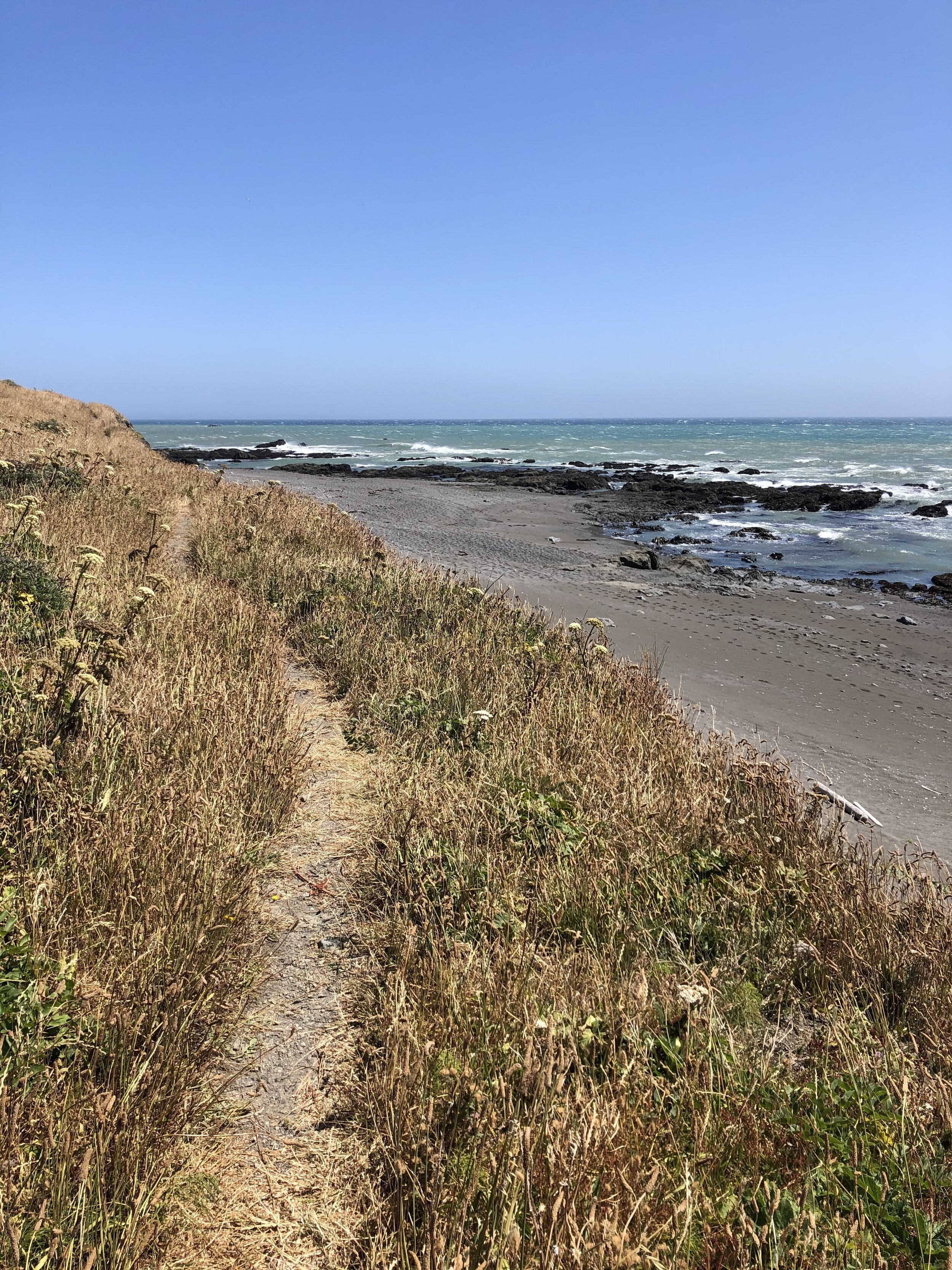
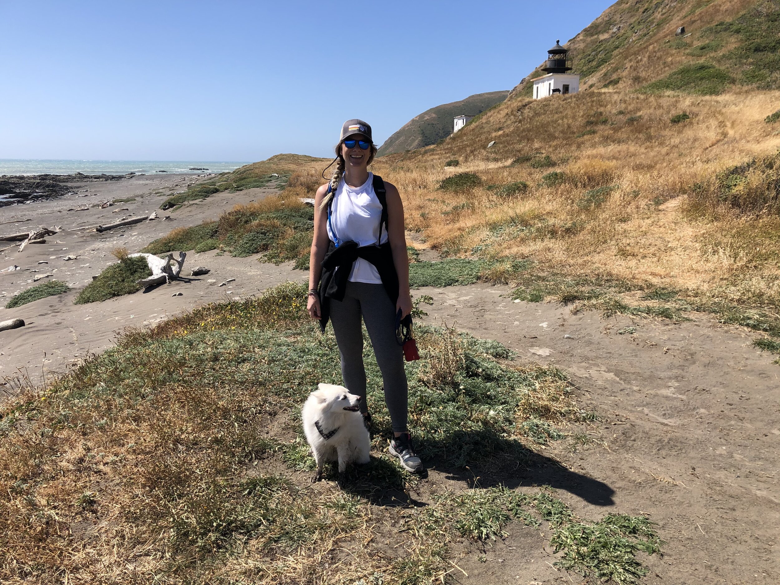
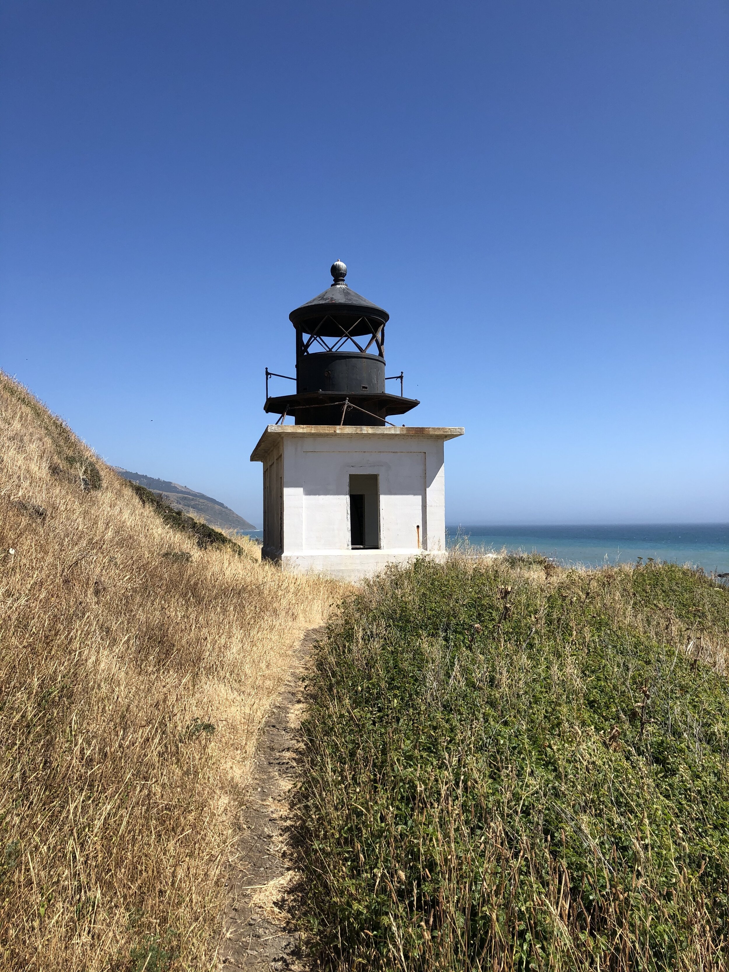
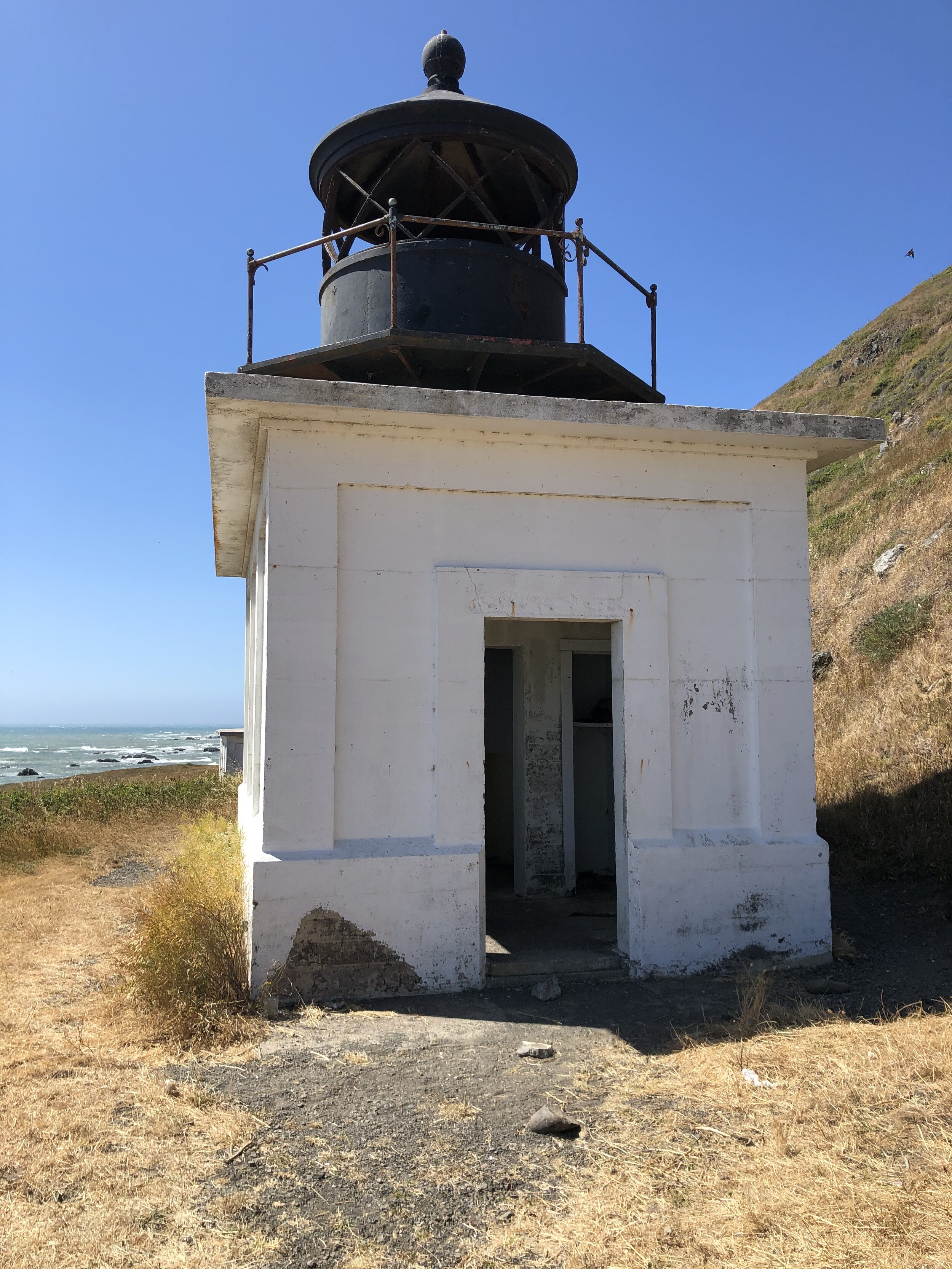
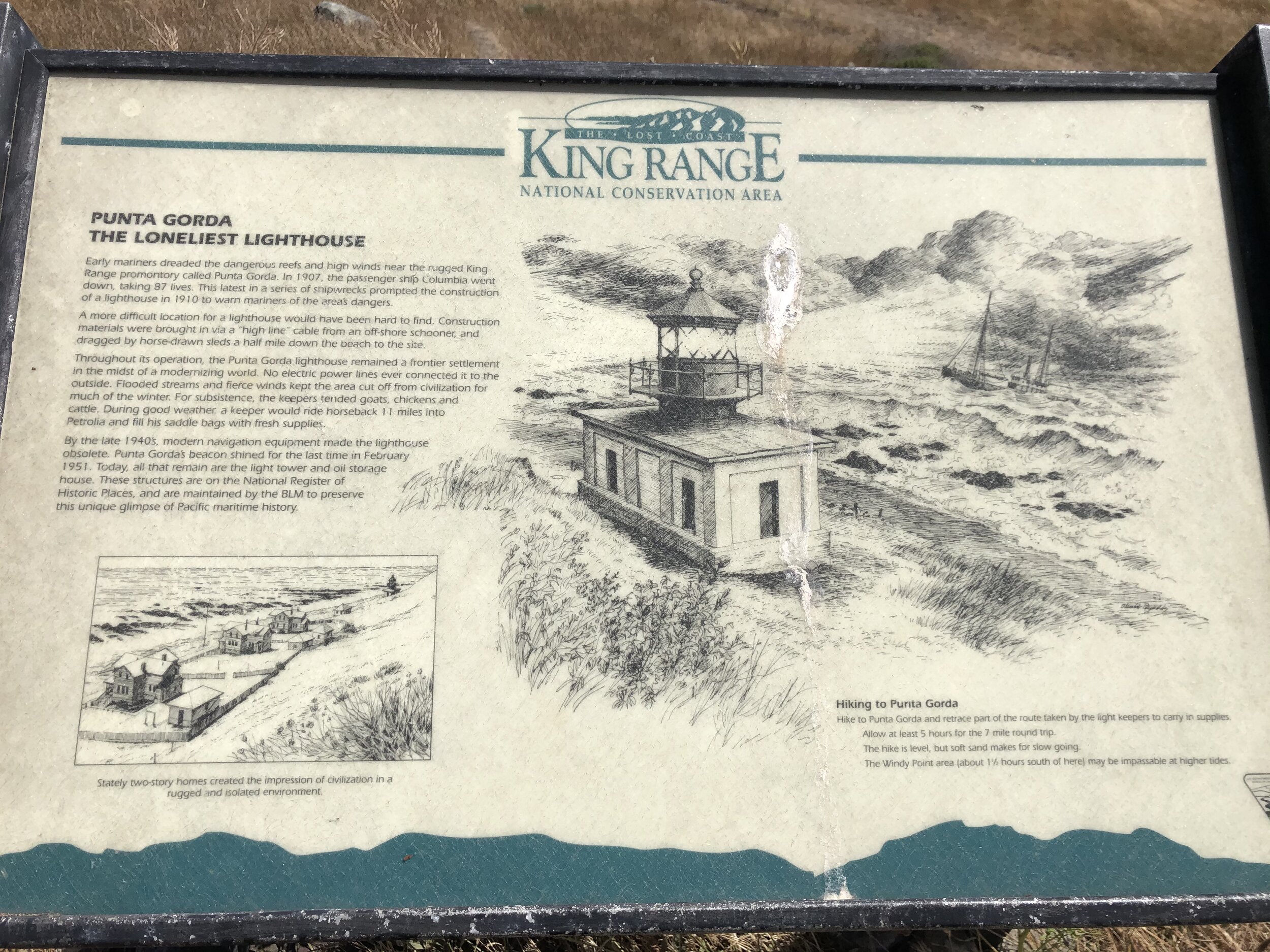
I remember something about a lighthouse through my frontend research, so when I saw a road called Lighthouse Road, I felt inclined to take the turn. I knew this road was bringing me closer to the ocean, and when the road ended, I found a campground and trailhead. At this point, I had no mobile service, but I checked the trail map at the information sign and decided to hike this trail along the coast. It was a 7-mile out and back section of the Lost Coast Trail (one can hike the entire Lost Coast; however, this was a section of it) to an old lighthouse, Punta Gorda Lighthouse.
The information board included a tide schedule, which was alarming. To hike this trail safely, one must consider the tides. There are parts of the path that are so close to the shore that you cannot get through it at high tide. According to the chart, I had a window of time to make it to the lighthouse and back safely, so I took the opportunity.
Much of this hike was through the sand, which I don’t love. On the way out, the wind was at our back; however, we were braving it on the return trip. The scenery was breathtaking, though, and the lighthouse was a substantial reward. I saw a few other people out there and also some elephant seals!
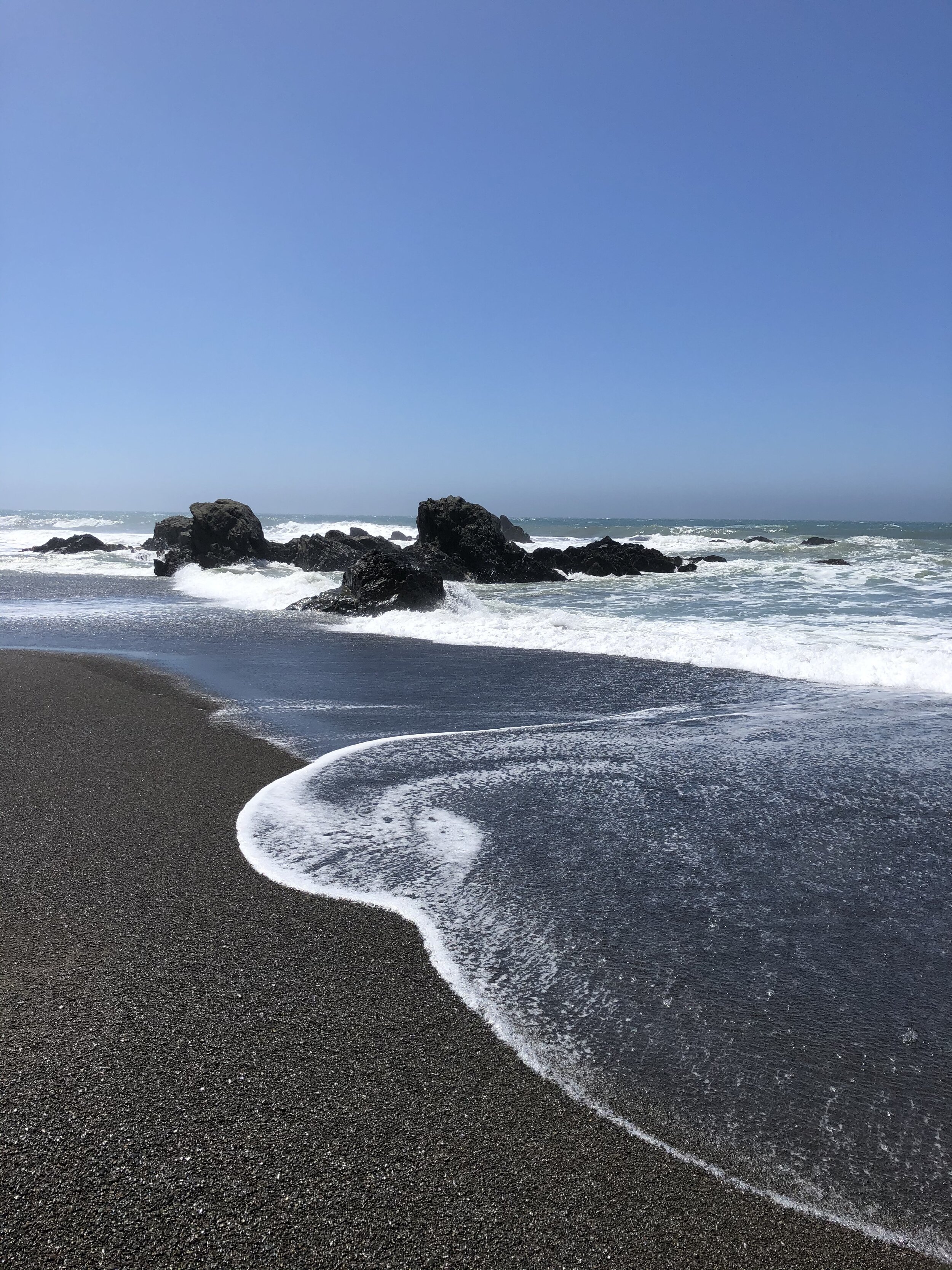
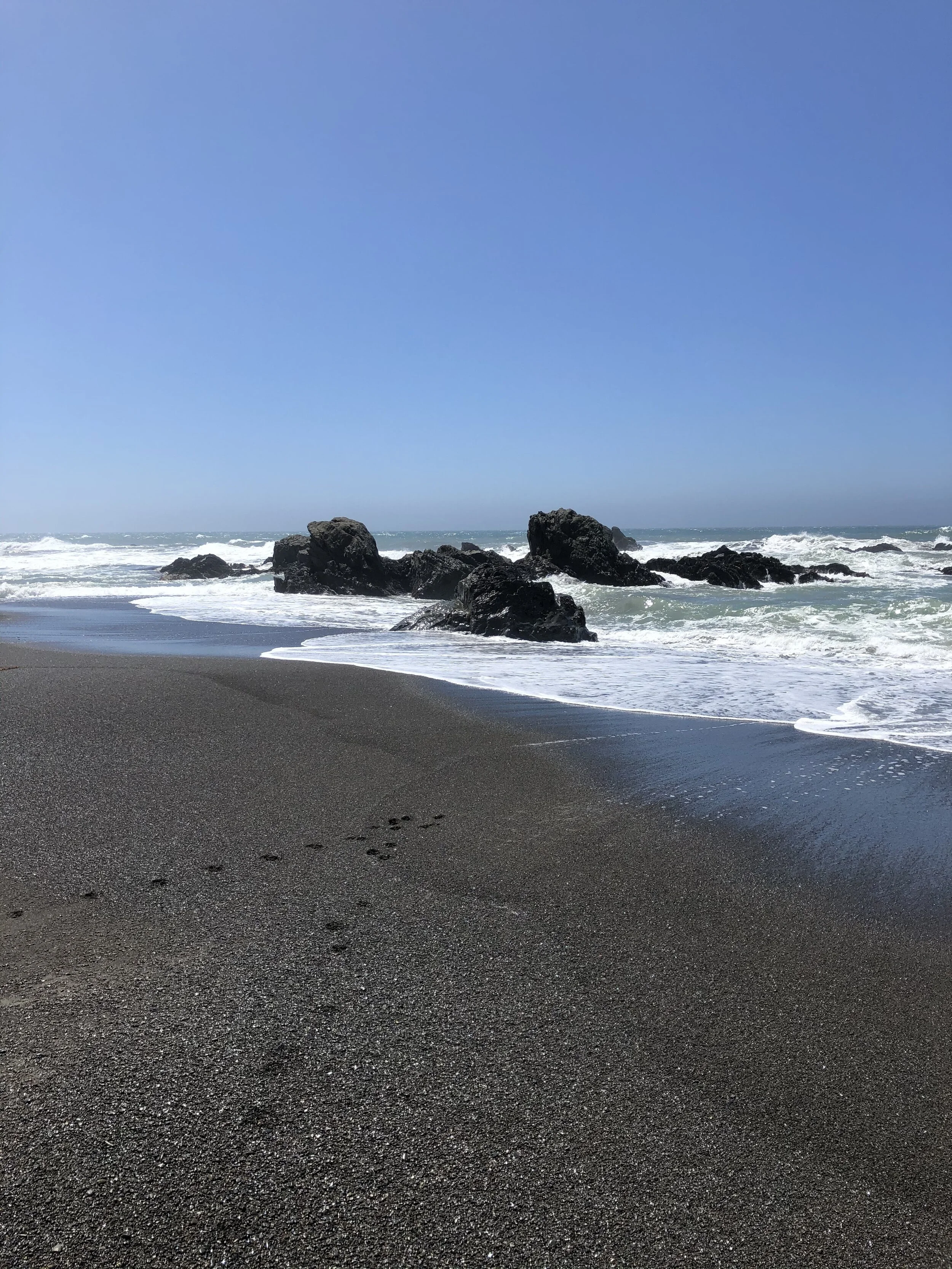
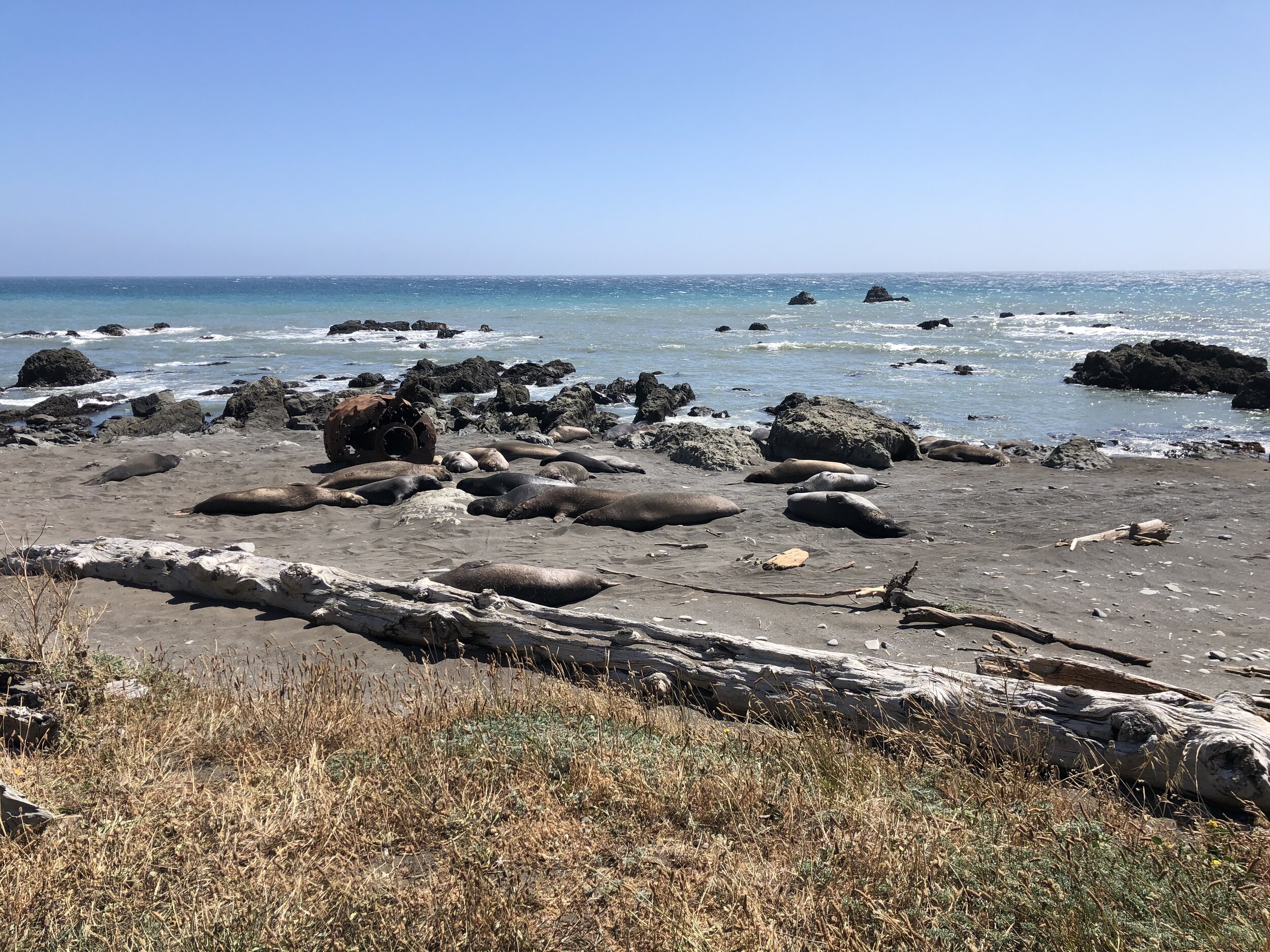
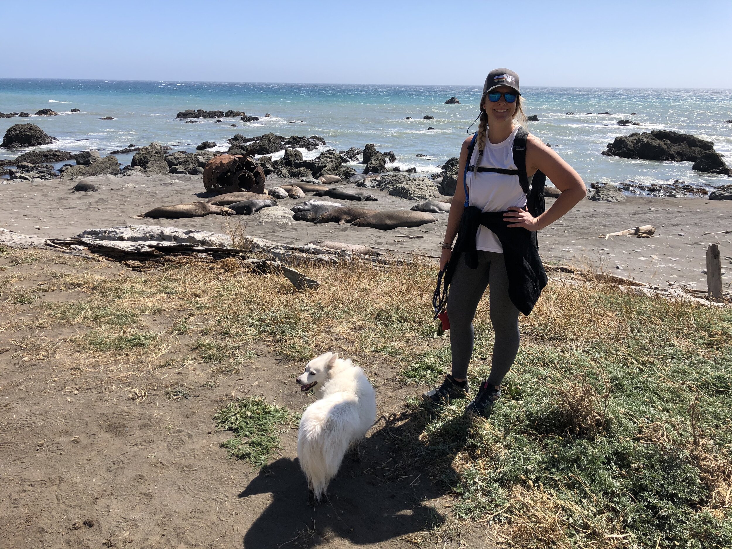
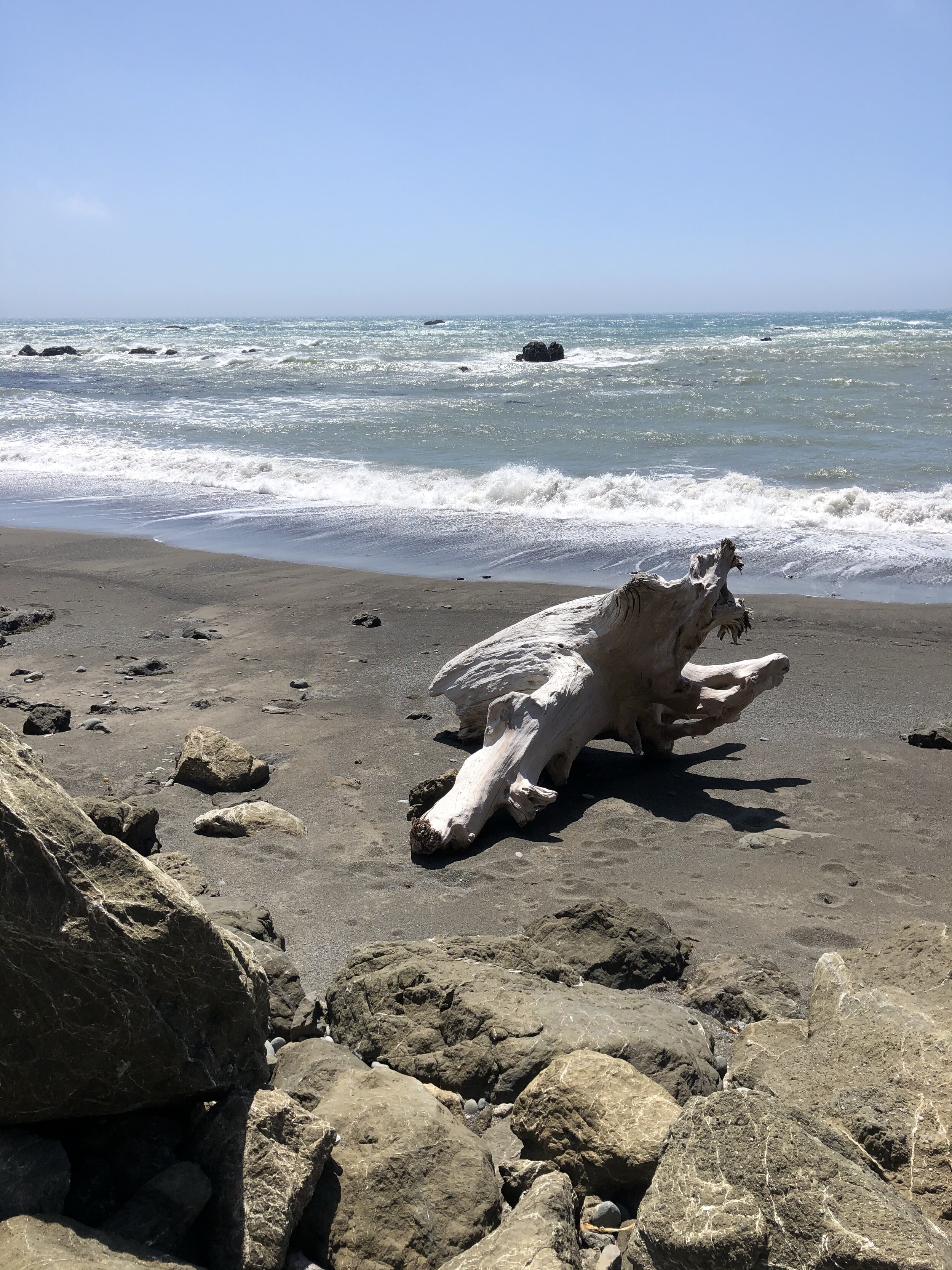
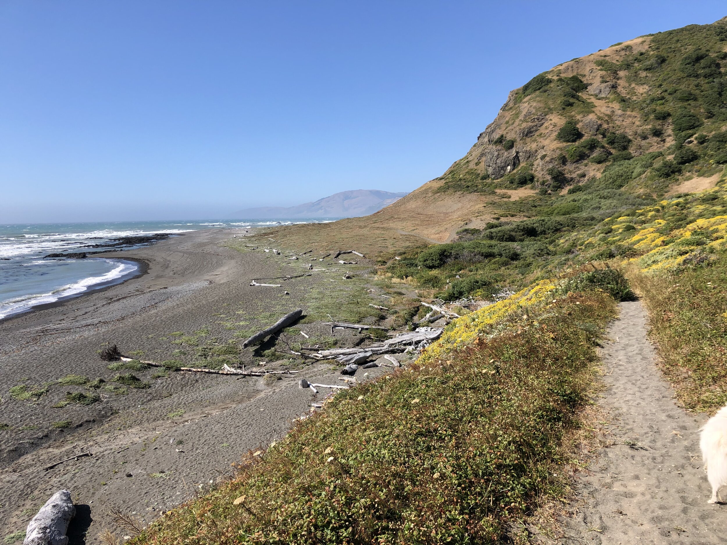
After the hike, and pretty exhausted, Addie and I continued driving. We were losing daylight, and I wanted to ensure we got back to civilization (meaning: street lights of some sort) before the sunset. We headed east from the coast, back to main roads before heading back up north to where we were camping. It was a great day scouting out The Lost Coast, and I left hoping I’d revisit one day.

