LYFE IN TOW

A year of life on the road

  • BLOG
  • ABOUT
    • THIS JOURNEY
    • WHY THE Y
    • ME, AS A PROFESSIONAL
  • CONTACT
  • PARK PHOTOS
    • Shenandoah National Park
    • Mammoth Cave National Park
    • Great Smoky Mountains National Park
    • Congaree National Park
    • Everglades National Park
    • Biscayne National Park
    • Dry Tortugas National Park
    • Hot Springs National Park
    • Big Bend National Park
    • Guadalupe Mountains National Park
    • Carlsbad Caverns National Park
    • Channel Islands National Park
    • Pinnacles National Park
    • Sequoia & Kings Canyon National Parks
    • Yosemite National Park
    • Lassen Volcanic National Park
    • Redwood National & State Parks
    • Crater Lake National Park
    • Olympic National Park
    • Mount Rainier National Park
    • North Cascades National Park
    • Glacier National Park
    • Grand Teton National Park
    • Yellowstone National Park
    • Zion National Park
    • Bryce Canyon National Park
    • Capitol Reef National Park
    • Black Canyon of the Gunnison National Park
    • Great Sand Dunes National Park
    • Mesa Verde National Park
    • Arches National Park
    • Canyonlands National Park
    • Petrified Forest National Park
    • Saguaro National Park
    • Death Valley National Park
    • Grand Canyon National Park
  • BOOKS
IMG_4891.jpg

#43: I-I-Idaho

September 07, 2020 by Sarah Williams in Along the Way

I passed through the northern, narrow portion of Idaho that borders Canada en route from Washington to Montana, but that was just for a few hours. I didn’t count that as really visiting Idaho. Having a few friends in Boise I wanted to see, I happily headed back west towards Boise even though it was a bit of backtracking.

My landing pad in Boise was my friend Charina’s house. Charina and I met in Boulder, CO, working for Backpacker magazine about ten years ago. I was looking forward to visiting Charina and her family and also to experience Boise. I had heard such great things about it and was anxious to see the city for myself.

I loved it. It’s funny because years ago, to me, Boise seemed so “out there” - like the cow town for which Denver was known before it became the cool place to be. They say Boise is the “next” Denver, and I believe it. The city is happy and quaint and offers so much. The weather is pleasant all year round, outdoor activities nearby are abundant, the food and culture scene is lively, and people are friendly and open-minded. Charina and her family live in a city neighborhood, and it’s walkable and safe.

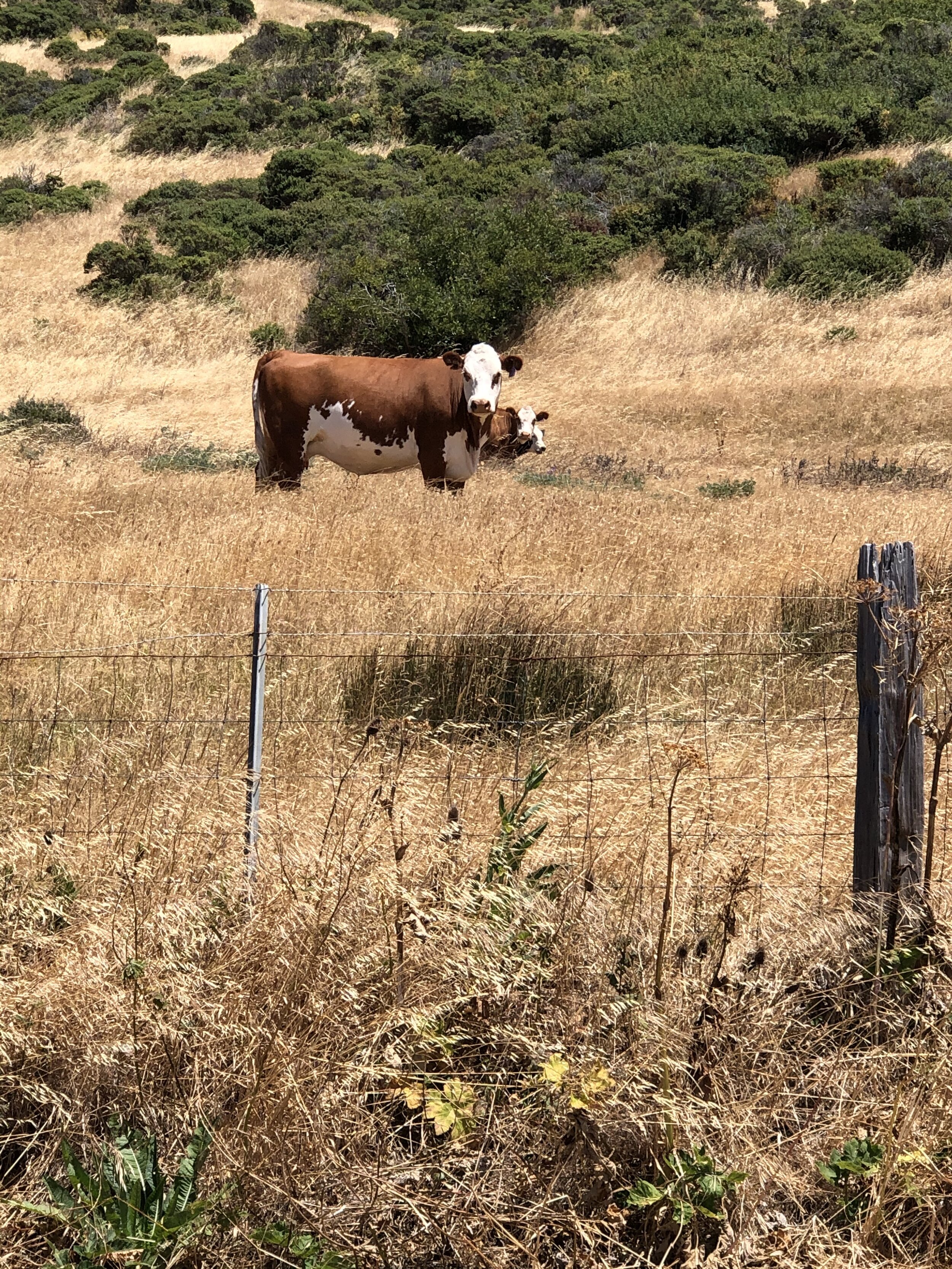
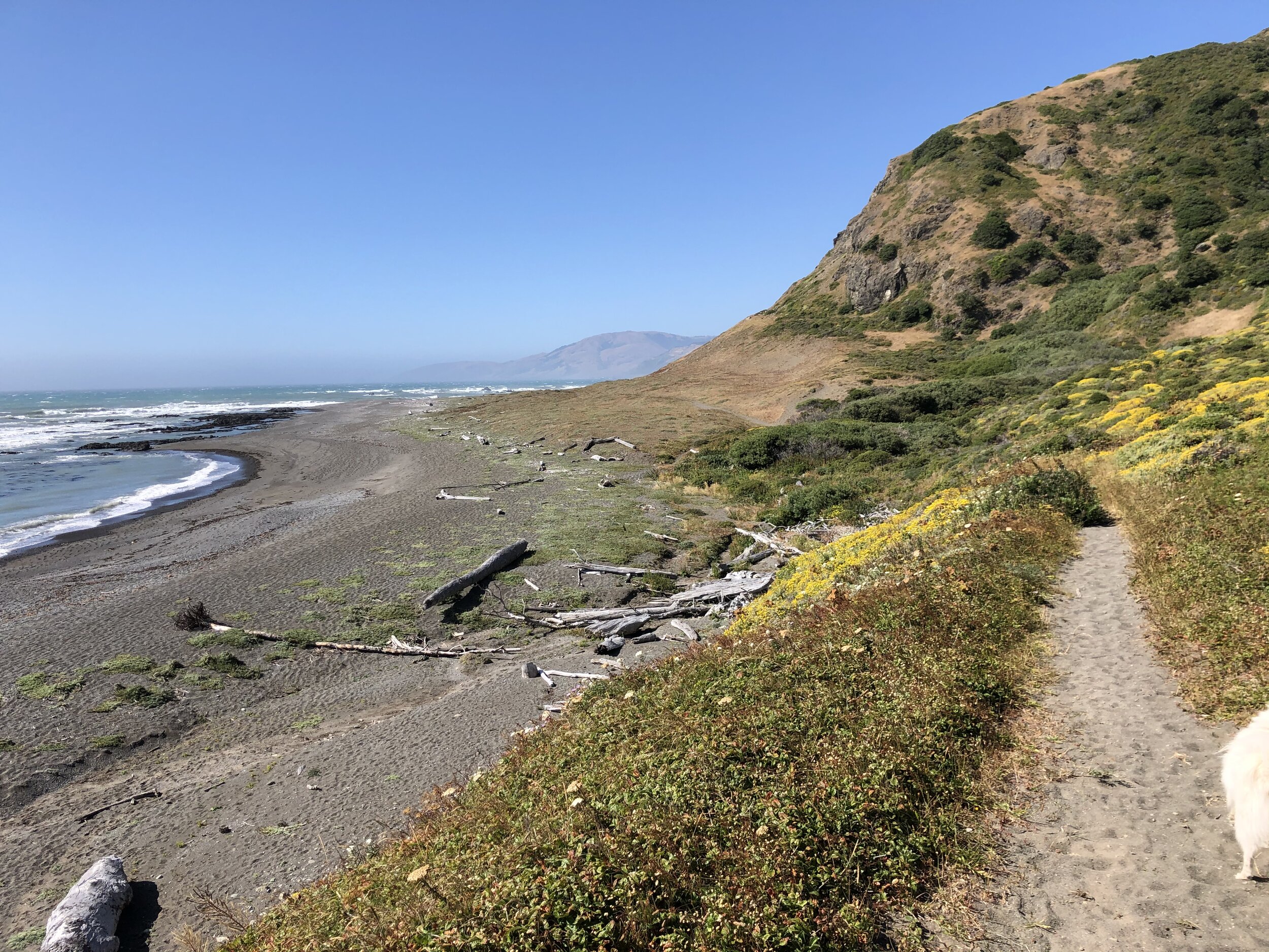
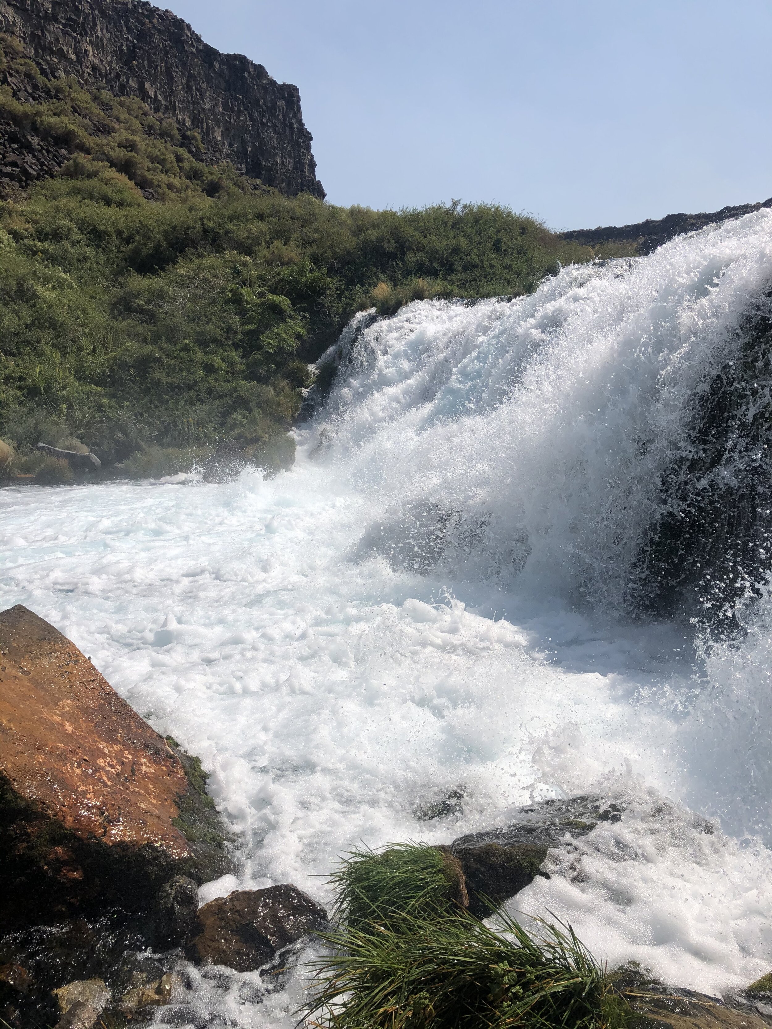
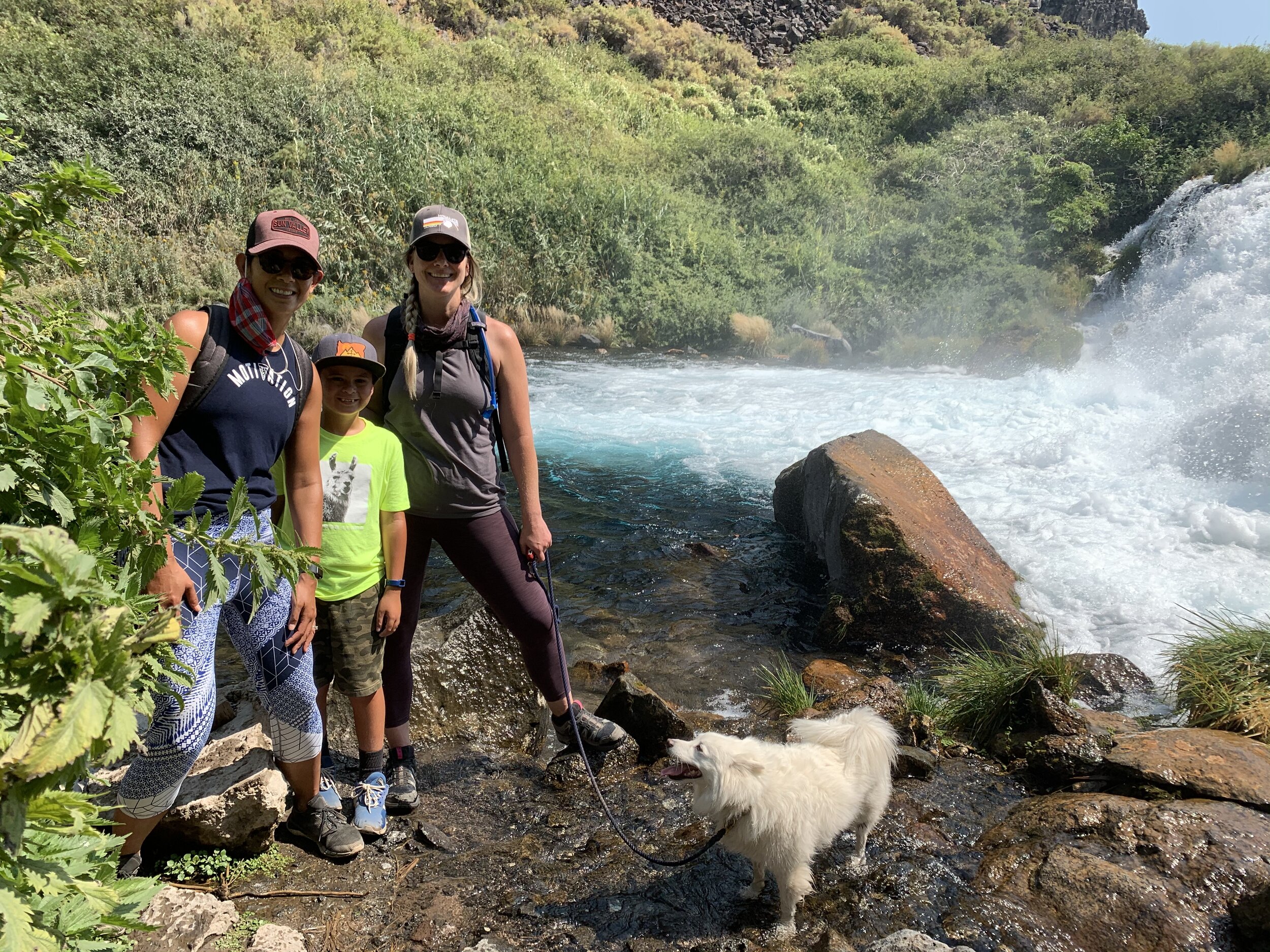
We did a little adventuring at Box Canyon State Park. It was cool to see something different that I wouldn’t have done if my friends hadn’t initiatedd it. 

IMG_1771.jpg
IMG_0420.jpg
IMG_1121.jpg
IMG_1916.jpg
IMG_2110.jpg
IMG_7231.jpg
IMG_8050.jpg
IMG_1771.jpg IMG_0420.jpg IMG_1121.jpg IMG_1916.jpg IMG_2110.jpg IMG_7231.jpg IMG_8050.jpg

We also met up with a mutual friend from NYC - our friend Laurence. We all know each other from our past careers in magazine publishing. We caught up over some wine and the picturesque atmosphere at Koenig Vineyards.

IMG_0504.jpg
IMG_4881.JPG
IMG_0505.jpg
IMG_0508.JPG
IMG_0502.jpg
IMG_0510.JPG
IMG_9661.JPG
IMG_0499.jpg
IMG_0503.jpg
IMG_0504.jpg IMG_4881.JPG IMG_0505.jpg IMG_0508.JPG IMG_0502.jpg IMG_0510.JPG IMG_9661.JPG IMG_0499.jpg IMG_0503.jpg

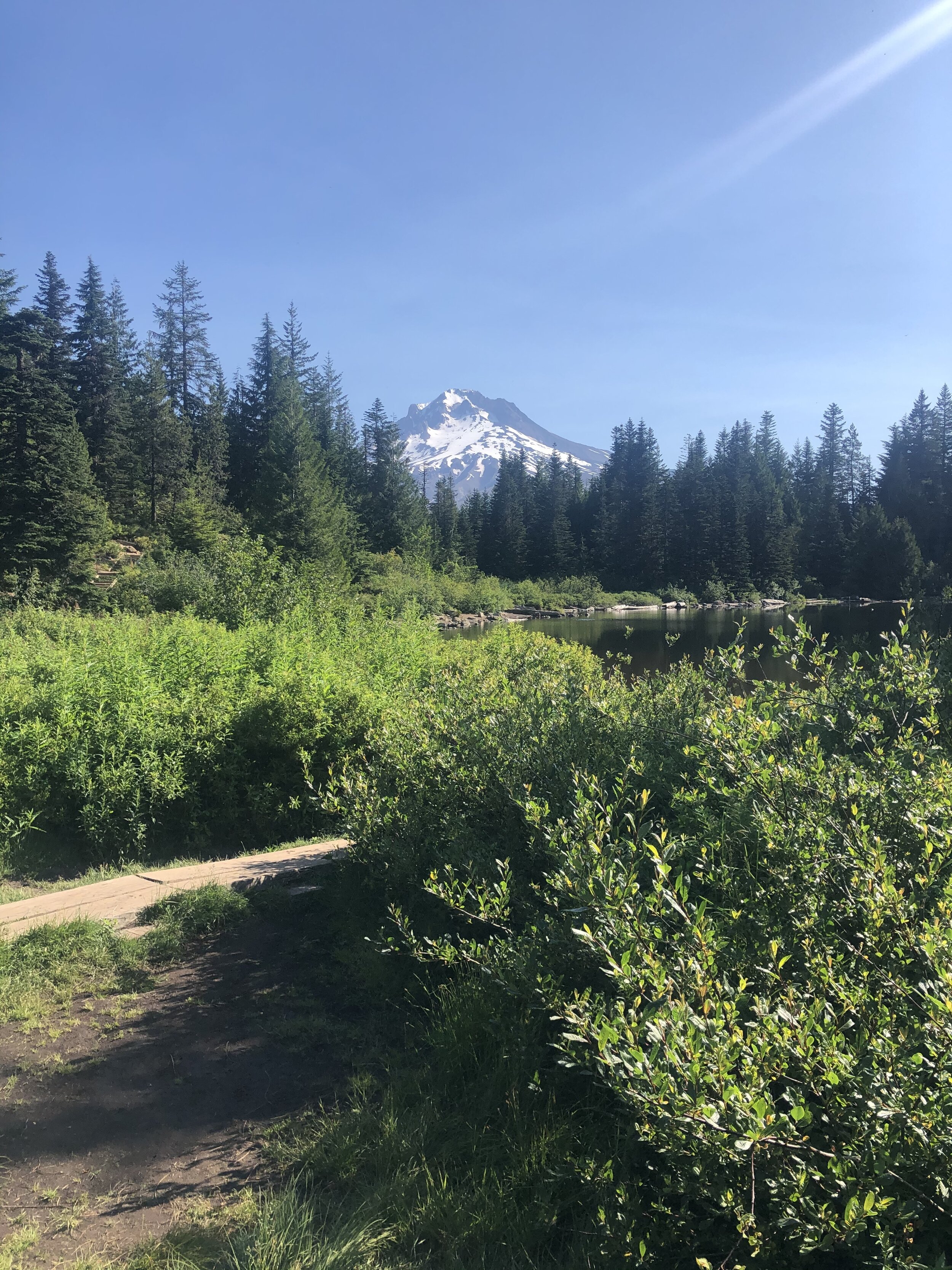
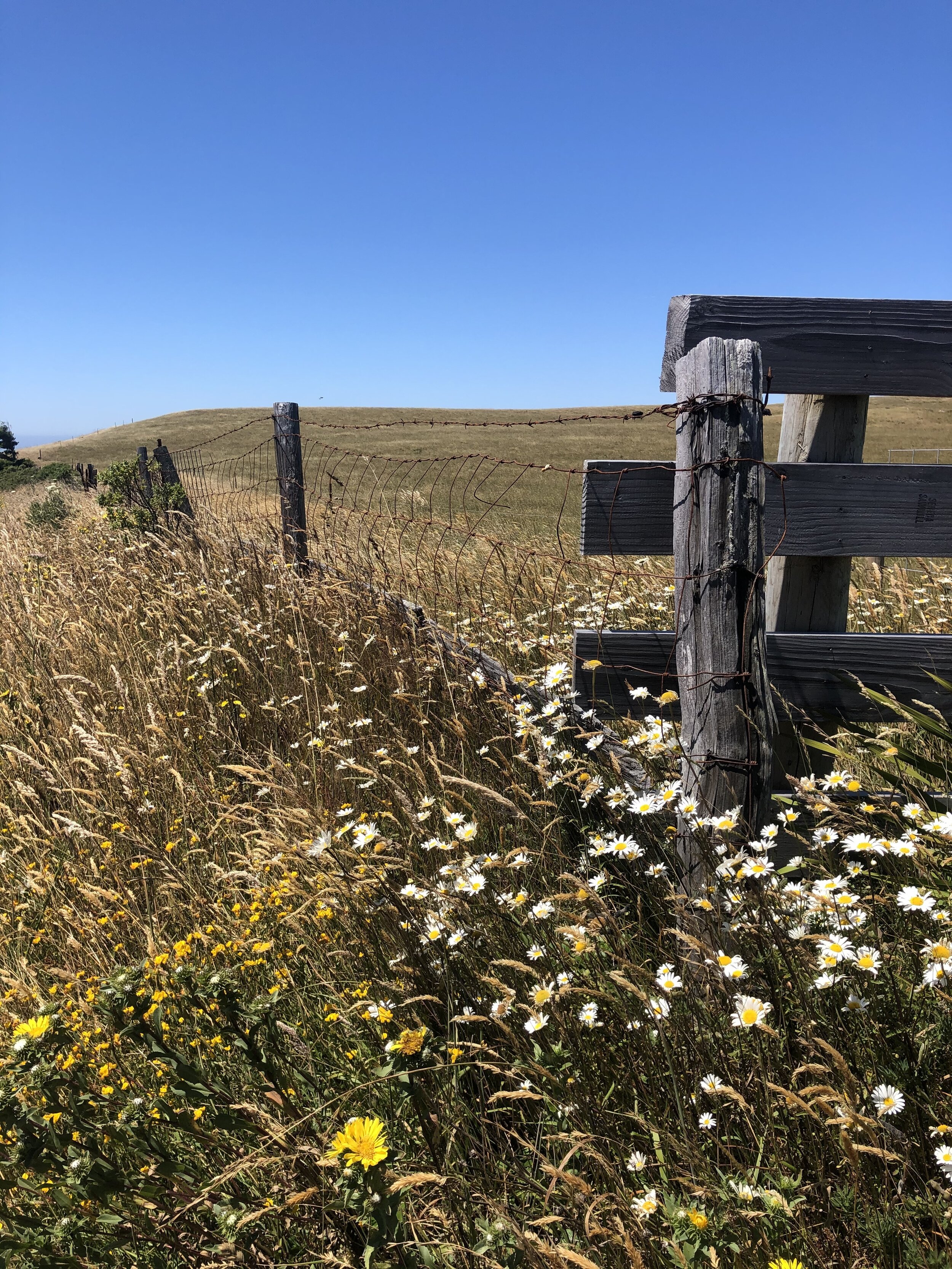
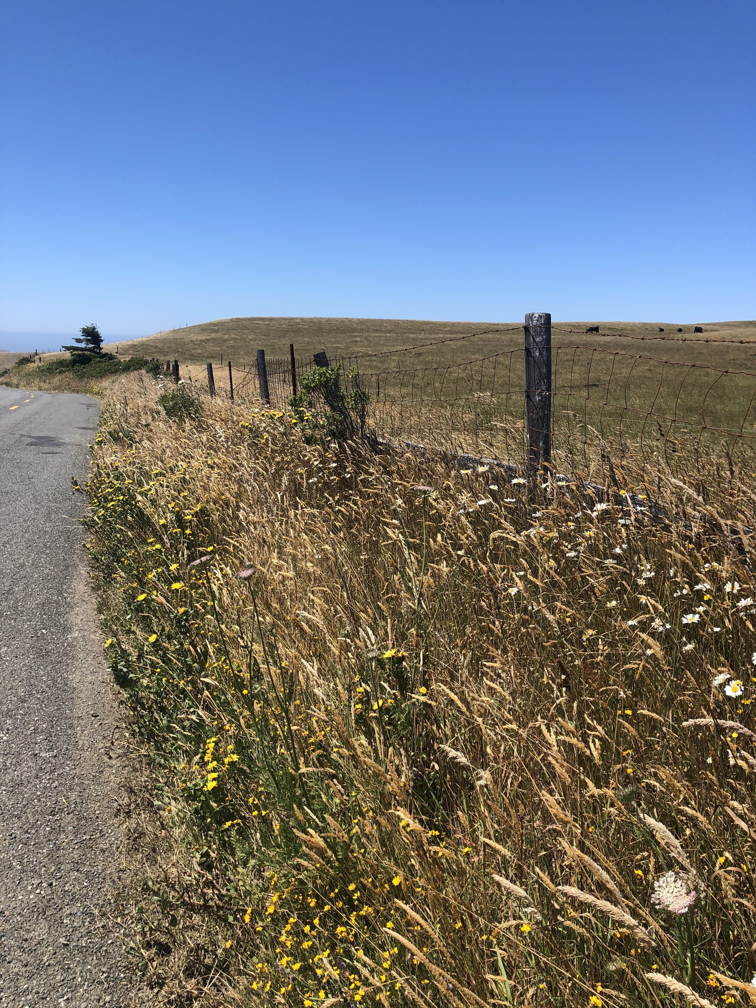
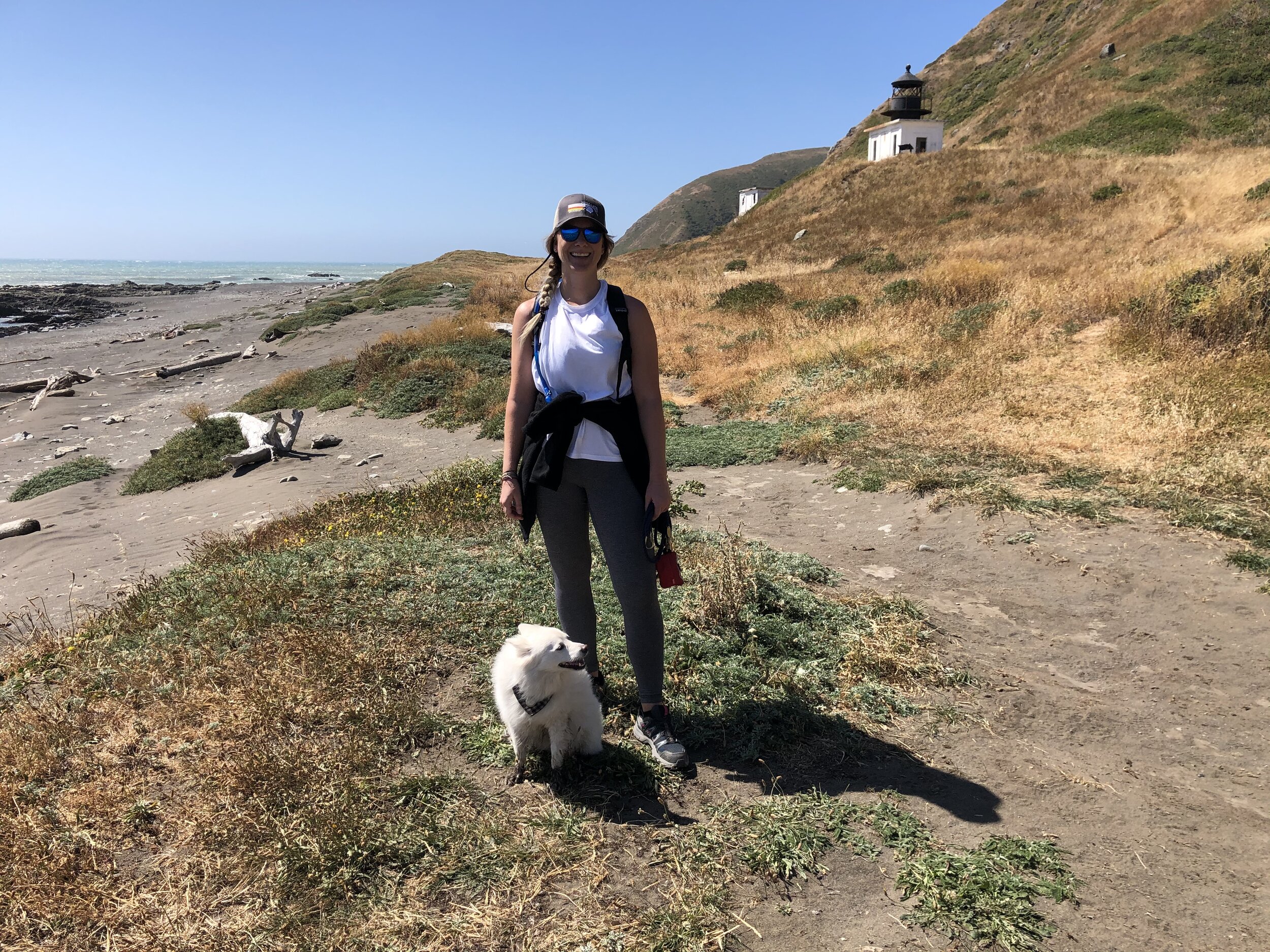
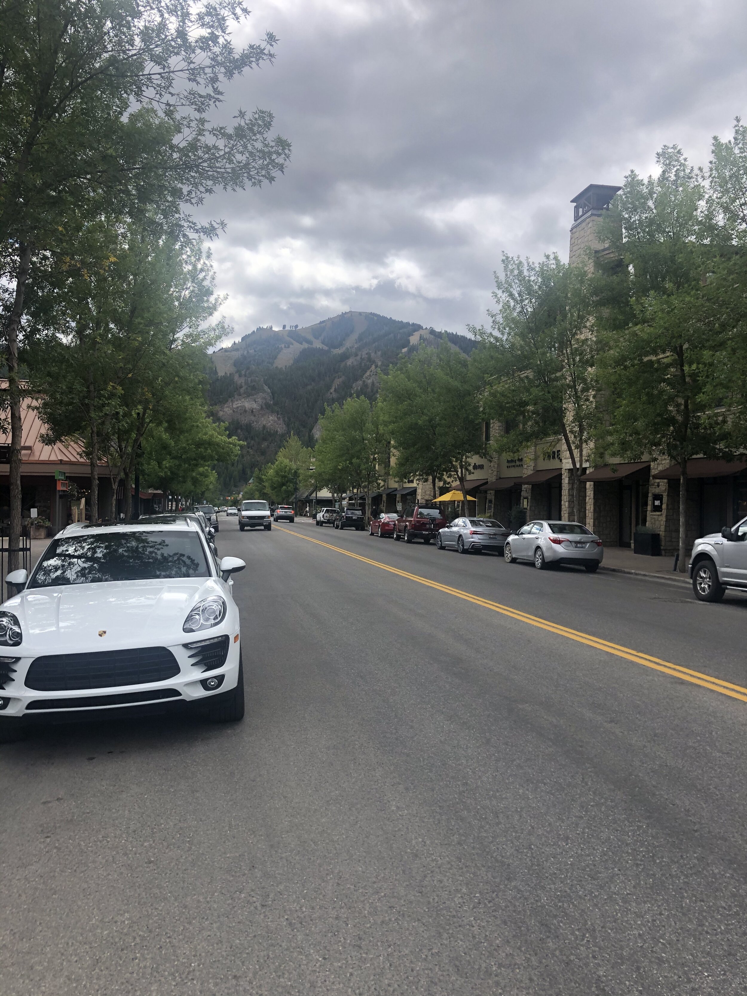
My next stops in Idaho were Ketchum and Sun Valley (per Charina’s recommendation). Ketchum is a little mountain town, and Sun Valley is the ski resort area. I’m a sucker for a good mountain town, and Ketchum was no different. I also got to see North America’s first chair lift.

IMG_0316.jpg
IMG_2130.jpg
IMG_3033.jpg
IMG_9441.jpg
IMG_9821.jpg
IMG_0316.jpg IMG_2130.jpg IMG_3033.jpg IMG_9441.jpg IMG_9821.jpg

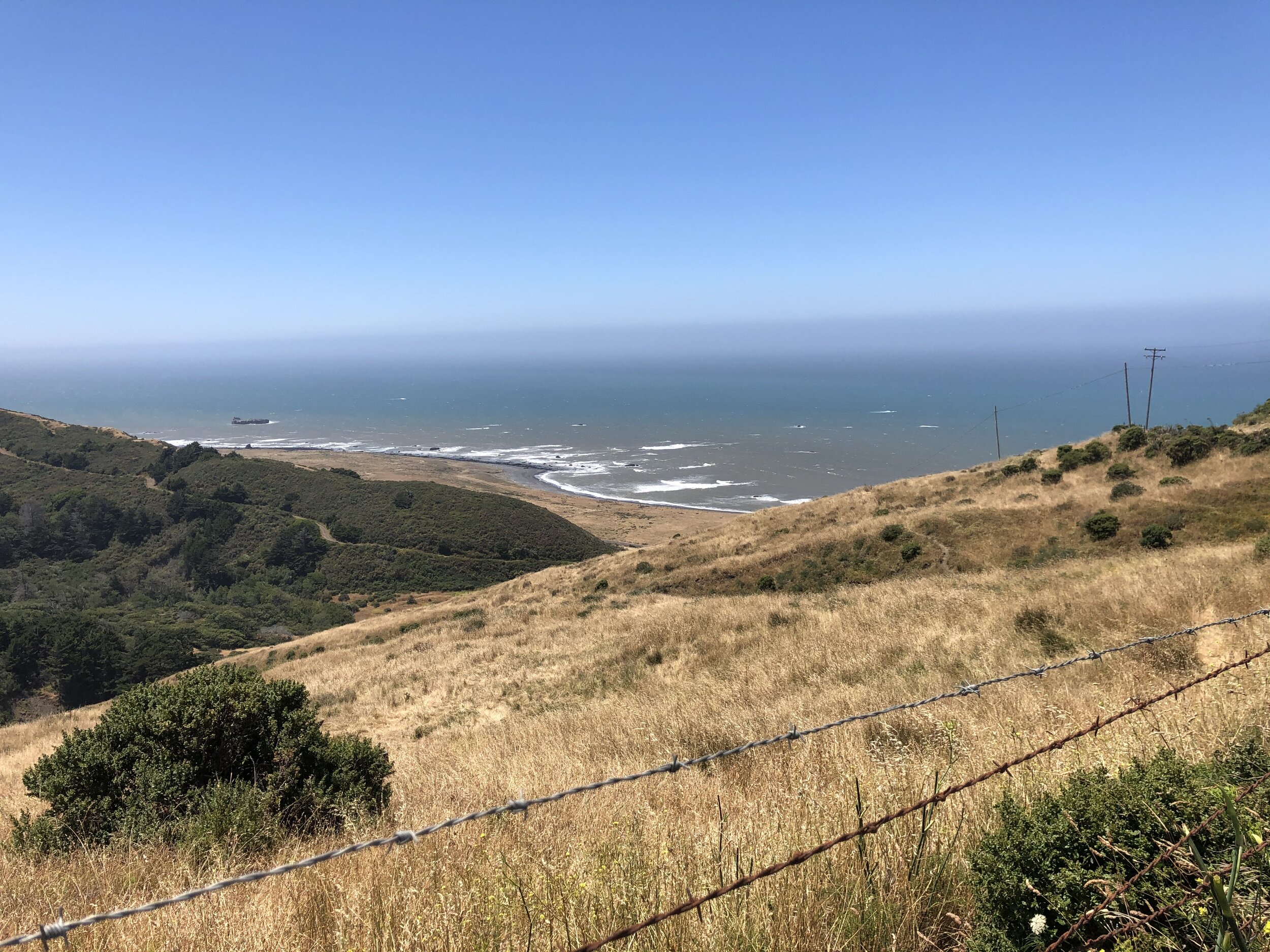
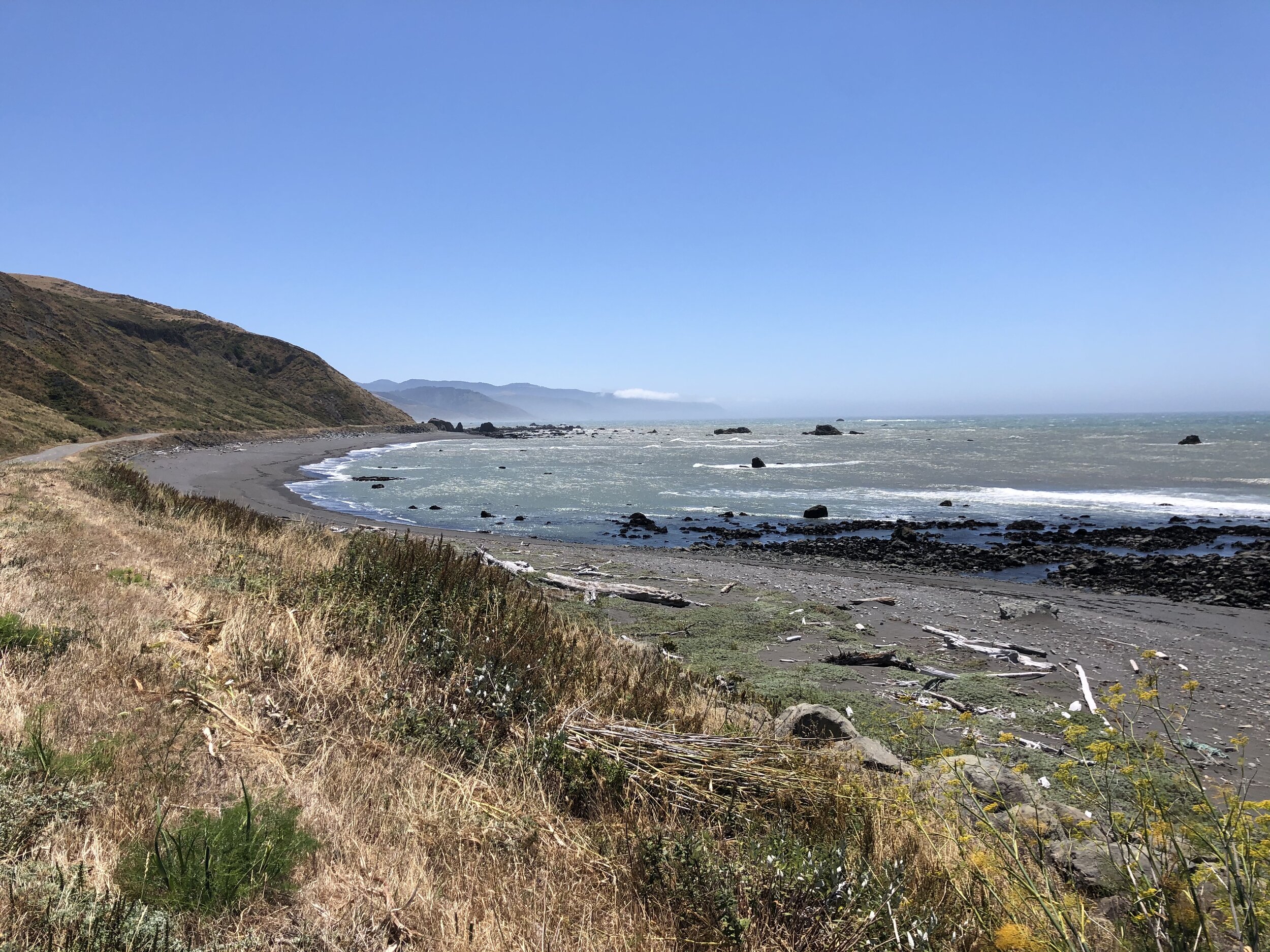
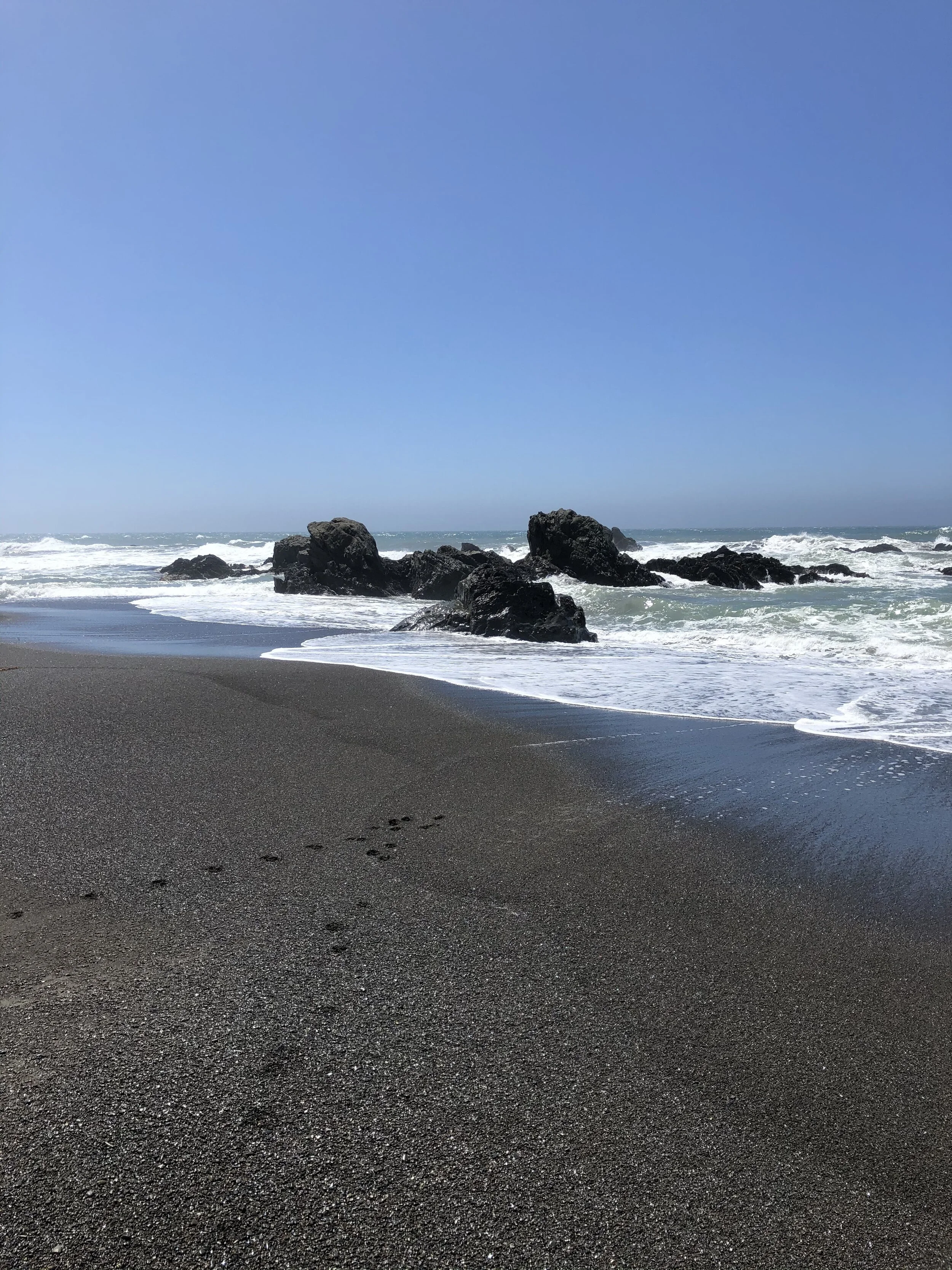
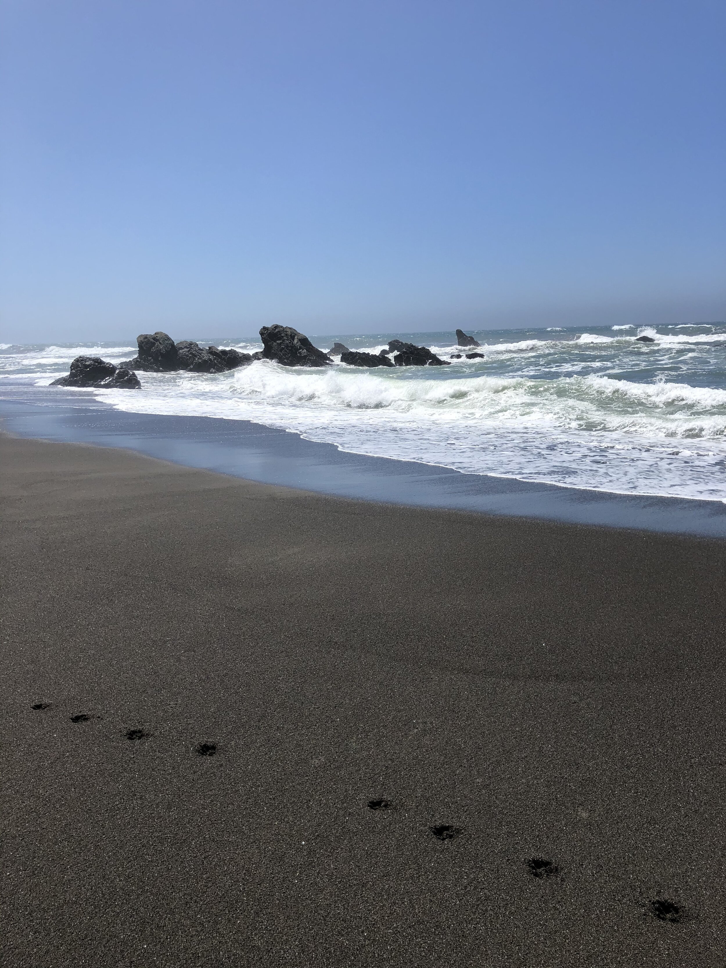
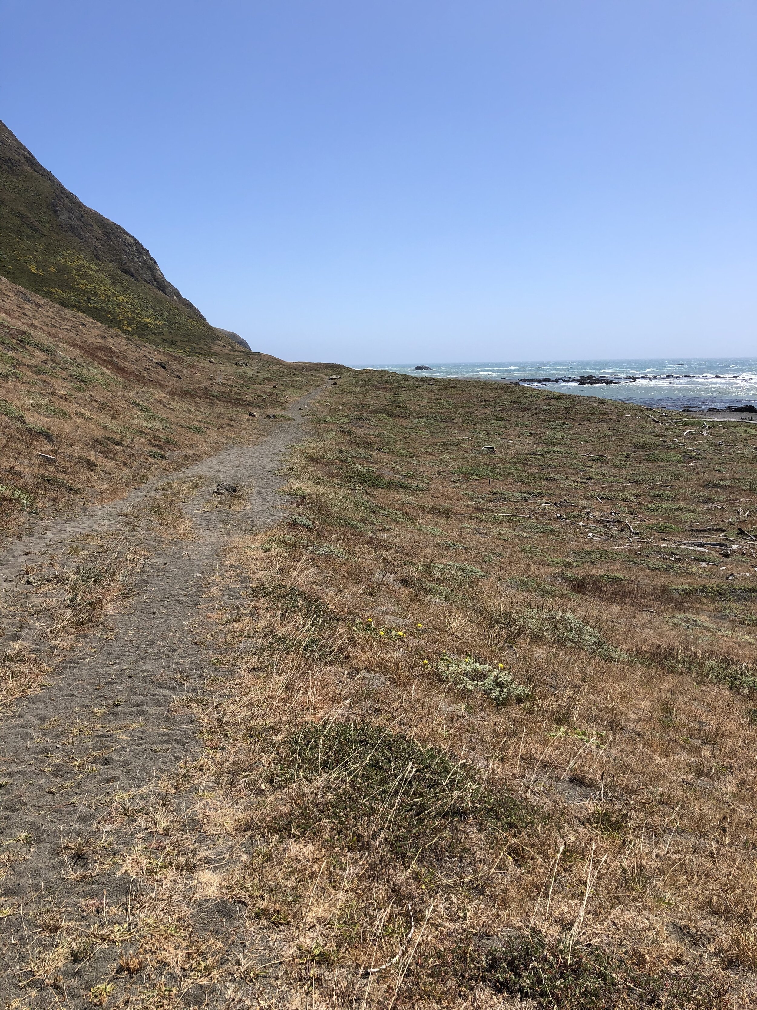
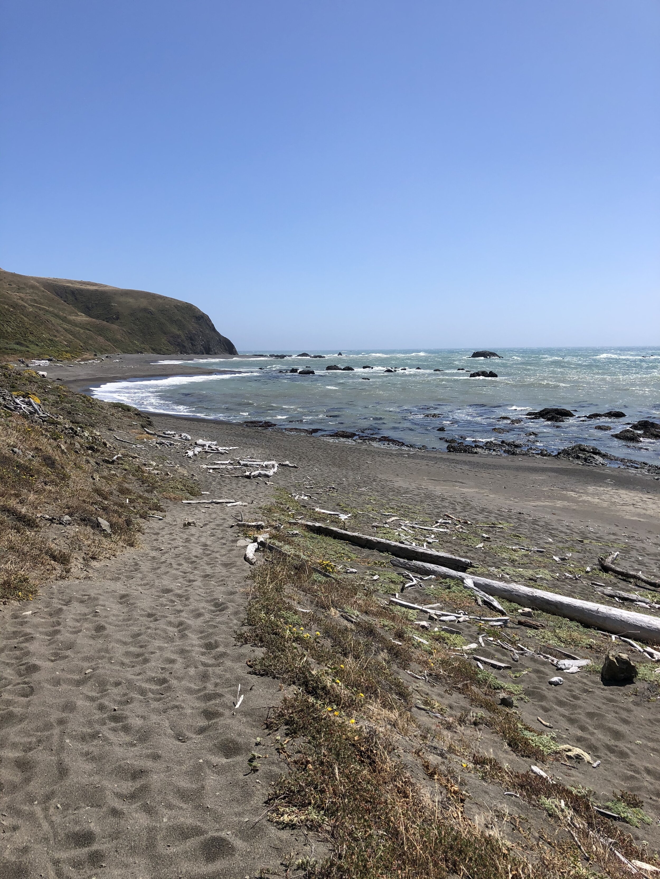
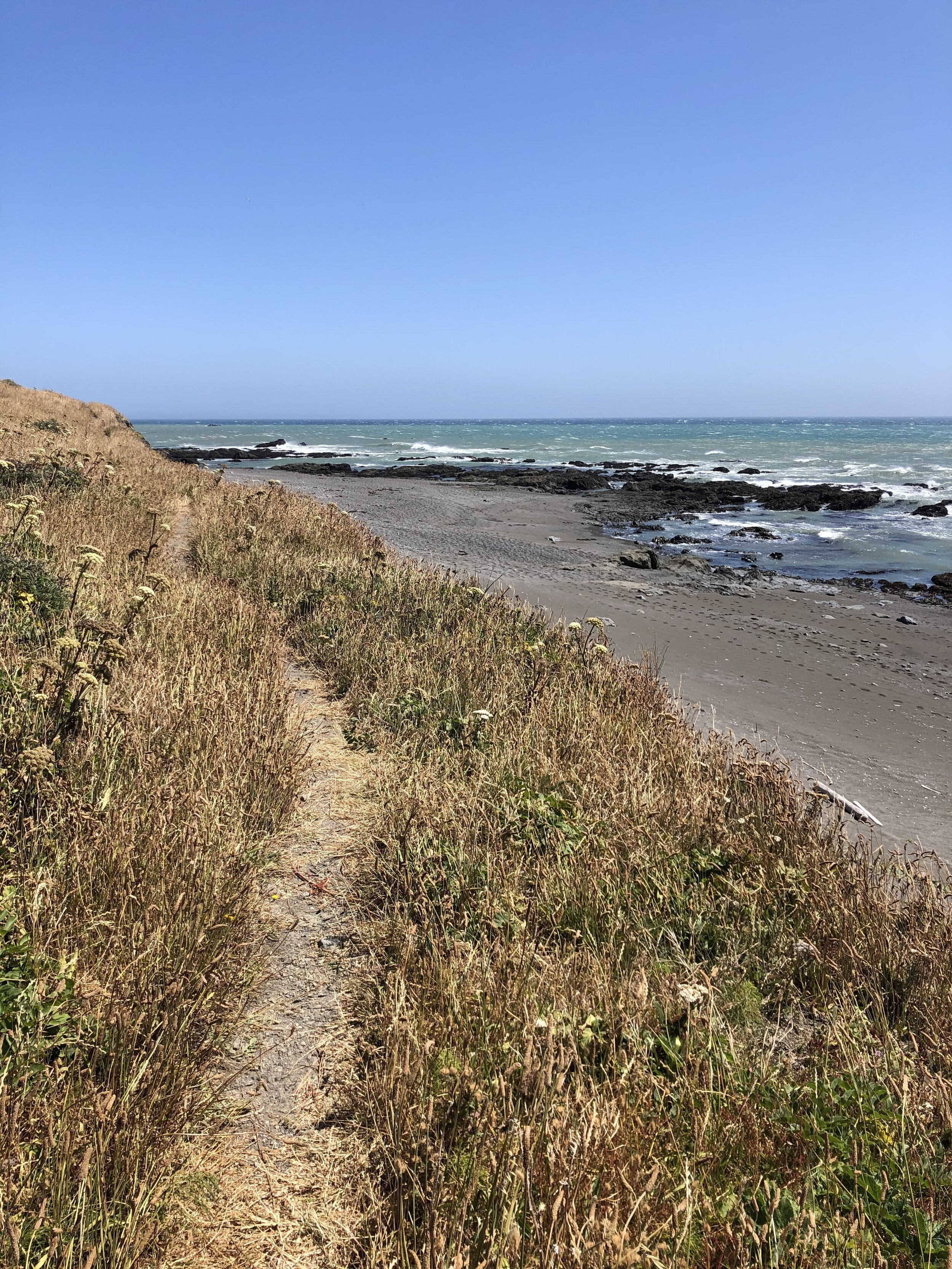
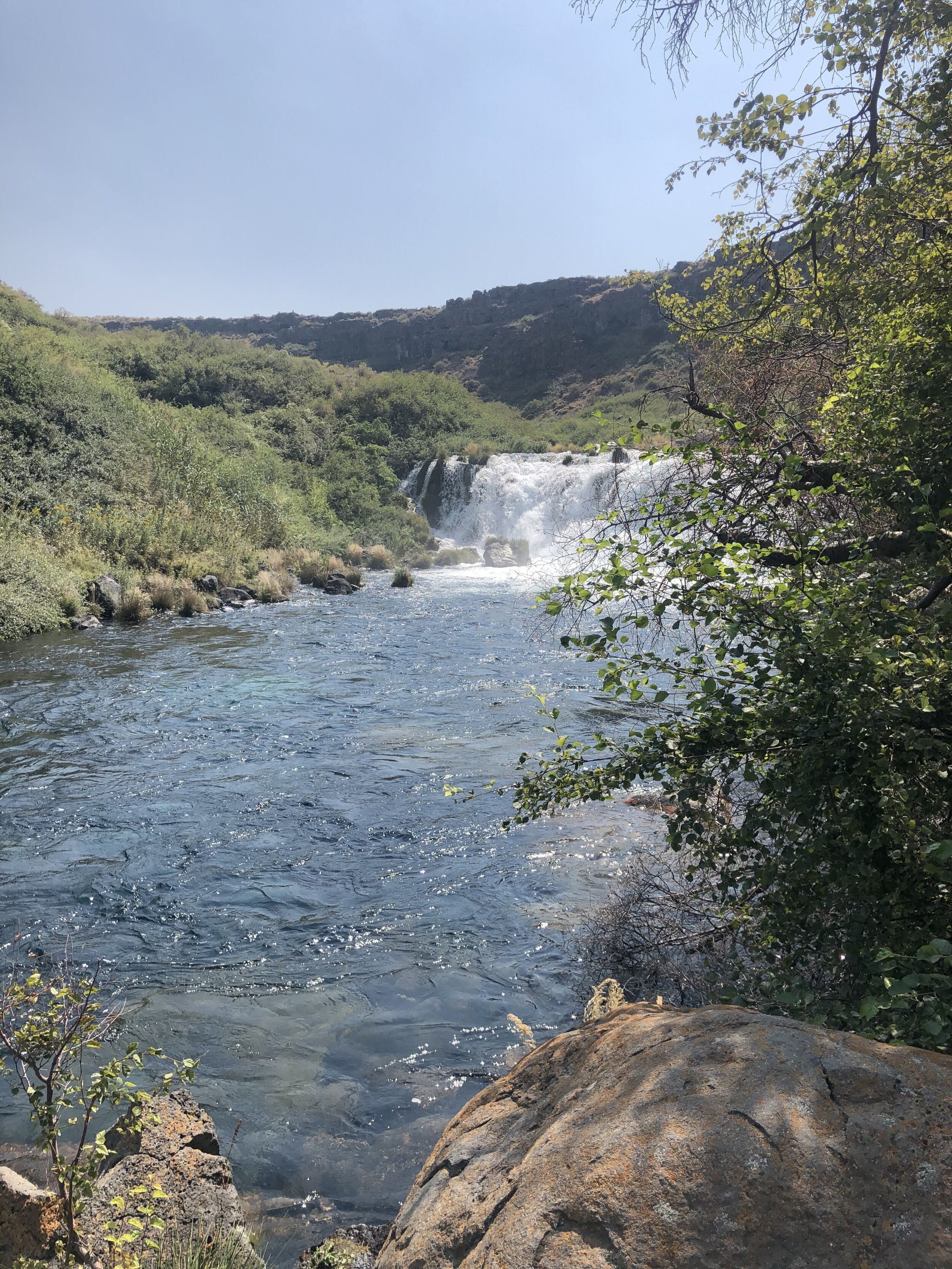
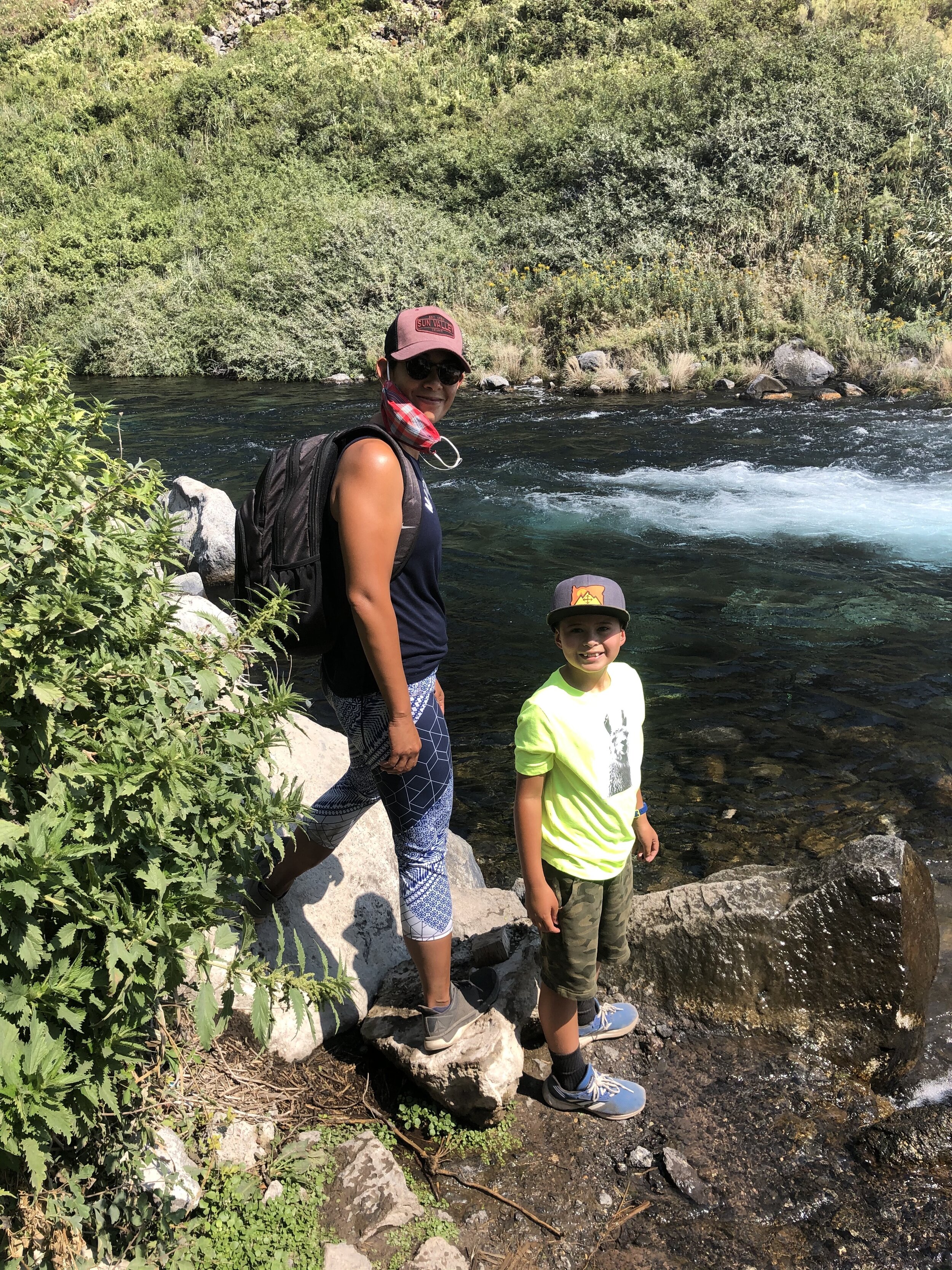
After asking around town, I planned to explore Redfish Lake the next day, about an hour north of Ketchum. I found an incredible boondocking spot outside Ketchum and Sun Valley.

IMG_0551.jpg
IMG_3060.jpg

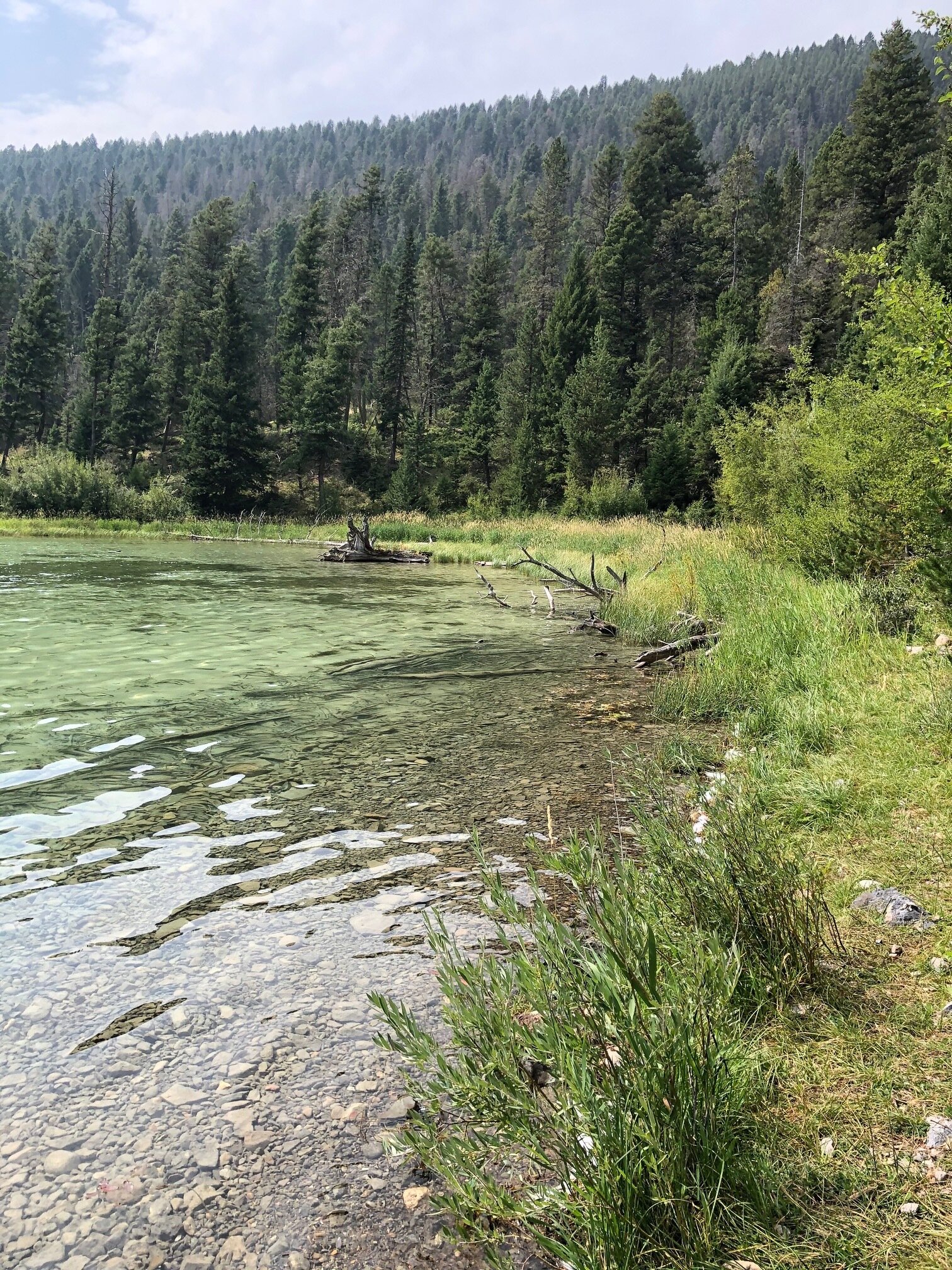
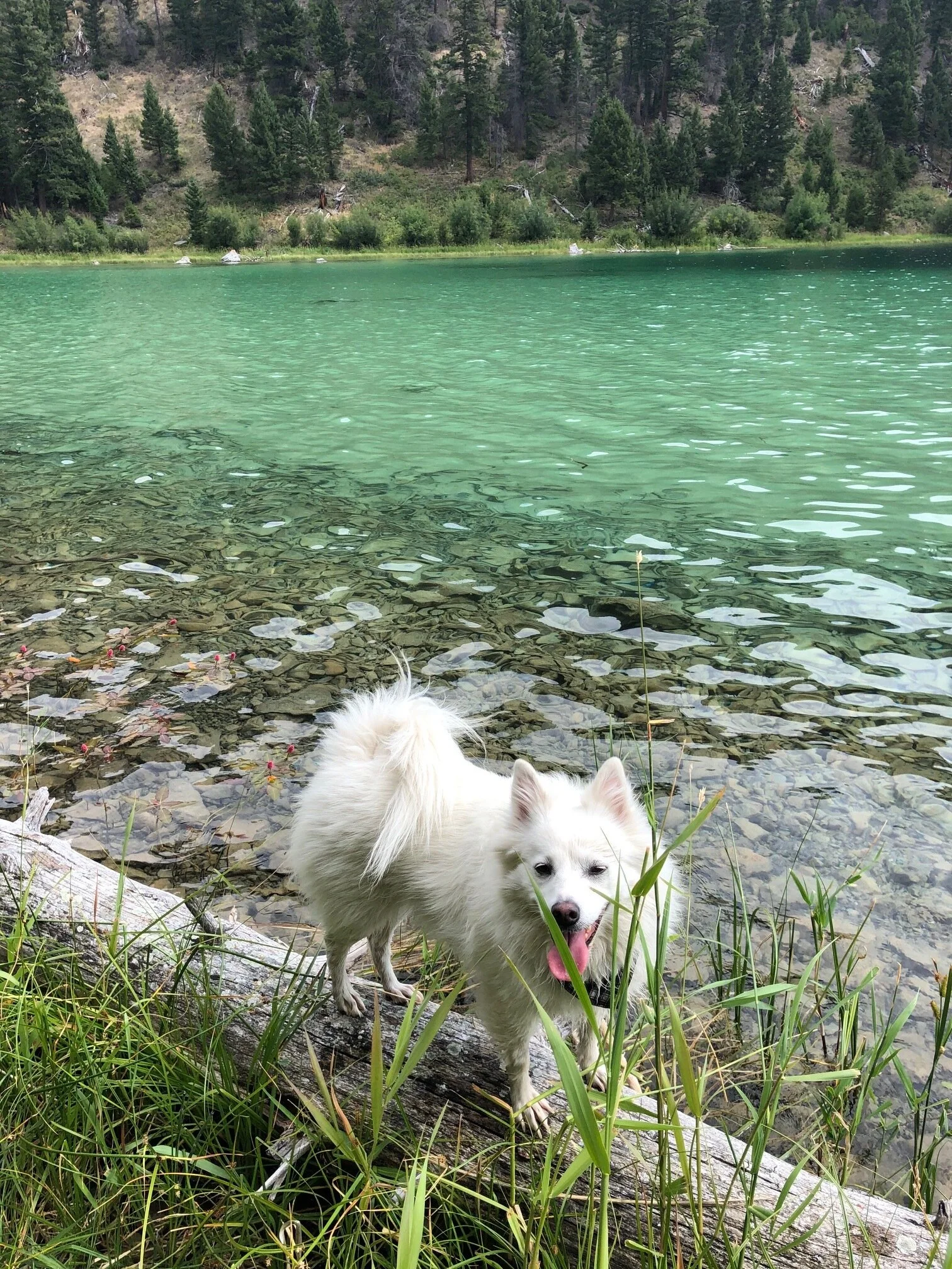
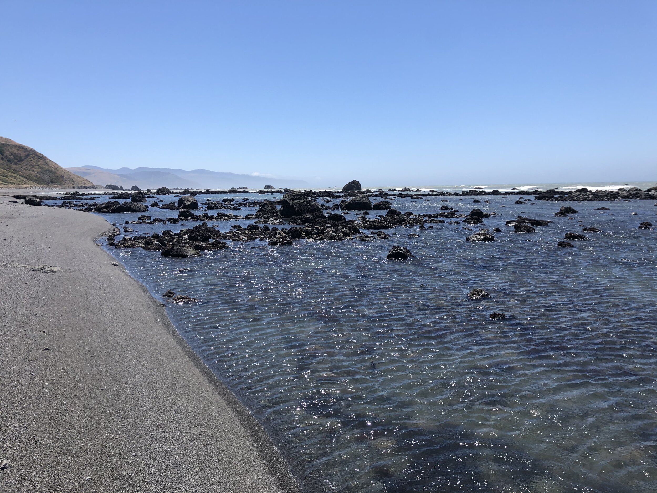
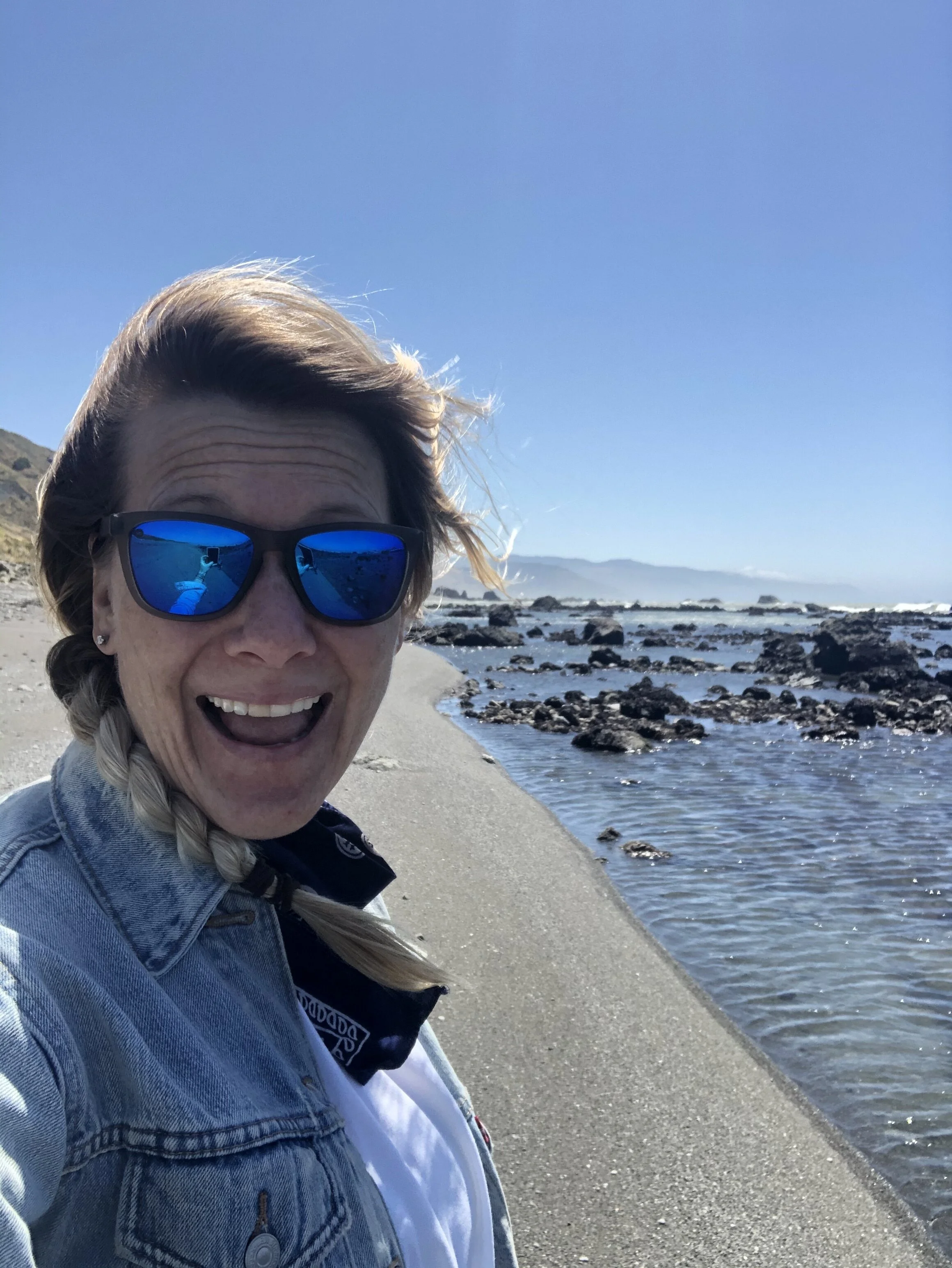
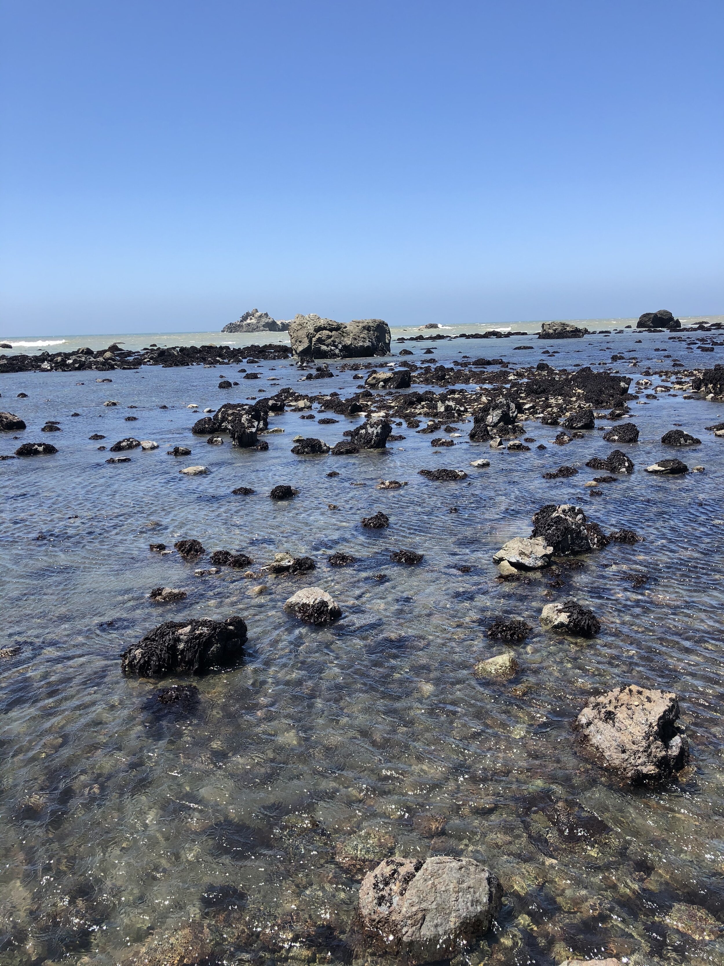
I had no expectations of Redfish Lake and wasn’t exactly sure what I would do there. I found my way, though, and took a boat across the lake and hiked back.

IMG_0459.jpg
IMG_2377.jpg
IMG_3041.jpg
IMG_4891.jpg
IMG_5150.jpg
IMG_7646.jpg
IMG_8504.jpg
IMG_8560.jpg
IMG_8615.jpg
IMG_0459.jpg IMG_2377.jpg IMG_3041.jpg IMG_4891.jpg IMG_5150.jpg IMG_7646.jpg IMG_8504.jpg IMG_8560.jpg IMG_8615.jpg

My next destination…Jackson, WY. I had a bit of a drive to get there but was pumped for what Jackson had in store.

September 07, 2020 /Sarah Williams
Idaho, boise, Sun Valley, Redfish Lake, koenig vineyards, ketchum, boondocking
Along the Way
Comment
IMG_0441.jpg

#42: Montana

August 31, 2020 by Sarah Williams in Along the Way

Since leaving to travel last fall, I was always excited to get to Montana. I had traveled to Montana as a child, and I couldn't wait to get back. With Glacier under my belt, I was ready to explore other areas in western Montana. I was craving some solitude.

Whitefish

Whitefish was my first stop after departing Glacier National Park - about 45 minutes away. Many of the places I wanted to visit I didn't know much about from this point on. I had only "heard" of these places for one reason or another. This "unknown" is a fun way to explore new places, though, because I have no expectations.

I loved Whitefish. It took only a few hours to walk around and absorb the vibe, but it was enough to know I dug it. When I return to Glacier one day, I will also return to Whitefish.

IMG_6831.jpg

Missoula

It’s about a three-hour drive from Whitefish to Missoula. I didn’t have a specific camping location in mind, so I was winging it. Sometimes winging it poses its challenges: I had to resort to staying in a crappy RV park this time. I wanted to be close enough to the city for easy access, and choices were limited. I stumbled upon the place I ended up staying - no hookups, just a place to park it. Sometimes that’s just the way it works out.

The next morning I was out of there. I drove downtown to see what Missoula had to offer. It was Saturday, so the city was active. I witnessed street fairs, farmer’s markets, paddleboard yoga, vintage denim sold in the street, and more. I happily took in the small city I was told was hippy-ish. Hippy-ish or not, I enjoyed it.

IMG_4779.jpg
IMG_4872.jpg
IMG_6674.jpg

In the afternoon, I visited a ghost town called Garnet. I love a good piece of history. Plus, the drive to get here was scenic through the mountains outside of Missoula.

IMG_4588.jpg
IMG_3525.jpg
IMG_5273.jpg
IMG_4588.jpg IMG_3525.jpg IMG_5273.jpg

My campsite that night made up for the less-than-ideal place I stayed the night before:

36DEFF6D-D4D0-47CE-B347-639A765232D1.JPG

Bozeman

Compared to Missoula, Bozeman felt like a cosmopolitan city. I didn’t take photos here, but I walked around, popped into shops, and hit up a brewery for a beer and veggie burger. Cities are often challenging because camping options are limited, and parking the Airstream is challenging. I was also still interested in getting some solitude…

Big Sky

On the way from Bozeman to Big Sky, I passed through Butte. Butte felt like a quiet, outdated city. Although the buildings looked like they hadn’t been updated since the 1960s, it still had a unique charm.

Big Sky is a mountain town - a new one. The architecture was similar to that in Bend, OR: “mountain modern,” like this:

Screen Shot 2020-12-30 at 9.13.26 PM.png

It is a ski town in the winter, but it is active with mountain bikers and other outdoor enthusiast-types in the summer. The scenery was tremendous, and it’s no wonder Big Sky has been growing in popularity over the last few decades.

Cliff and Wade Lakes

Per a recommendation from a couple I met at a previous campground, I made my way towards Cliff and Wade Lakes. I was going only on this recommendation - I had no clue what to expect.

I followed signs and made my way to Wade Lake Campground. It was later in the day, but luckily there was a spot available to snag. I noticed signs for another campground called Cliff Lake Campground, but the road looked a little rougher.

The next morning I woke up and did a little exploration of Cliff Lake. There was a small campground - only six sites, but Cliff Lake was gorgeous and provided just the solitude I was looking for. The perfect spot, on a little peninsula, was unoccupied. I reserved it with my cooler and headed back to the other campground to pick up the trailer and set it up in my new spot. Check out this gold mine of a site:

IMG_6255.jpg
IMG_9126.jpg

I decided to stay here for as long as I needed some peace. Addie and I took advantage of some nearby hikes but mostly happily hung out in our *money* spot, enjoying the serenity.

IMG_0415.JPG
IMG_0416.JPG
IMG_0417.JPG
IMG_0418.JPG
IMG_0419.JPG
IMG_0428.JPG
IMG_0423.JPG
IMG_0430.JPG
IMG_0426.JPG
IMG_0438.JPG
IMG_0427.JPG
IMG_0441.JPG
IMG_0448.JPG
IMG_0450.jpg
IMG_0451.jpg
IMG_0452.jpg
IMG_0454.jpg
IMG_0415.JPG IMG_0416.JPG IMG_0417.JPG IMG_0418.JPG IMG_0419.JPG IMG_0428.JPG IMG_0423.JPG IMG_0430.JPG IMG_0426.JPG IMG_0438.JPG IMG_0427.JPG IMG_0441.JPG IMG_0448.JPG IMG_0450.jpg IMG_0451.jpg IMG_0452.jpg IMG_0454.jpg

I loved being here. Before I left to travel for a year, I pictured being in a place like this. It’s like my dream became a reality. That symbolism made this place so much more special. I stayed here for about four days, taking in the solitude and appreciating the risk I took to live in the now.

August 31, 2020 /Sarah Williams
Montana, Cliff Lake, Wade Lake, Missoula, Whitefish, ghost town, Bozeman, Big Sky
Along the Way
1 Comment
IMG_9574.jpg

#36: The Beaver State

August 04, 2020 by Sarah Williams in Along the Way

My time in Oregon was a bit of a mish-mash of different types of activities and experiences. Regretfully, I neglected to take many photos of Bend and Portland - my bad.

Bend

Since I was inland already, I decided to hit up Bend after Crater Lake. Before visiting, I knew nothing of this small city. I had just heard it is cool. Welp, I loved it there. I found some dispersed camping not far from downtown and took a day to drive around and check it out.

It felt like a new city, by that I mean recently built up. The architecture was modern, and the development looked fresh. It’s interesting because my year of travel is also serving as a chance to check out different places where I could see myself living. Bend is the type of small city where I could see myself, but when I asked around about what kinds of industries are there, the answer I got was none. There are some small companies, of course, but I wondered if it’d be tough to find a job - and the cost of living is high(er). Regardless, I liked the vibe there, and the people were friendly.

I can’t believe I didn’t take any photos!

The Coast

A few nights spent in Bend was sufficient, and I headed toward the coast. Camping locations on the west coast are challenging, so one needs to get creative. I found Salmon Harbor Marina, which also hosted a parking lot-type dry camping option. I opted in for only $20/night (not to mention it was the only place available). Plus, there were showers there. And - I may have mentioned this before - but sometimes I like asphalt because I can keep the Airstream cleaner by not trekking dirt in and out.

WIN (only $20) - WIN (showers) - WIN (pavement).

IMG_0467.jpg
IMG_3917.jpg
IMG_4114.jpg

Umpqua Lighthouse State Park was close to the marina, so Addie and I took a little tour over there. The marine layer hadn’t lifted yet, so we couldn’t see much, but we happily got our feet in the sand.

IMG_3075.jpg
IMG_0897.jpg
IMG_5107.jpg

There was also a lot of ATV activities happening. The sound of dirt bikes and quads was constant.

Later that day, we took a ride down to Coos Bay - about an hour south of where we were camping. Coos Bay is the largest coastal town/city in Oregon. We popped into some shops but mostly walked around. Coos Bay was a place I had always heard about, but it’s nothing too special.

Portland

Along the drive up to Portland, the coastal scenery was gorgeous.

IMG_8920.jpg
IMG_3379.jpg

Using the Harvest Hosts app, I found a place outside Portland to stay for the night. It was an aviation museum in McMinnville, OR, and it was a perfect stopover. Again, it was asphalt, so nice and clean for the Airstream. Other people were staying there, too, which made me feel safer camping in a parking lot.

61724795026__DC3A979E-BE5D-43AA-8DCA-21AF5FC40155.JPG
IMG_7161.jpg

We arrived in Portland on a Friday. First stop was to the VW dealer for an oil change in my car. It had been a while since we were in a large city, so I took the opportunity to get some “housekeeping” done. I also swung by the Airstream dealer - I wanted them to take a look at my hitch. They were so helpful and made a quick fix free of charge.

IMG_4669.jpg

To make the city's exploration a little easier, I made reservations at Jantzen Beach RV Park, an RV park in town. This type of place is not my ideal type, but my priority was close vicinity to downtown. Note: At this time, it was late July, and protests were still taking place. I steered clear of that area.

The highlight of my time in Portland was seeing a friend of mine from high school I hadn't seen in 20 years. She and I played basketball together, and a mutual friend put us back in touch. It was so lovely to see her and catch up after a few socially-distant hours on her patio.

After getting some recommendations from my friend, Addie and I explored different pockets of the city for the remainder of the day. I grabbed an outdoor beer and burger at a local brewery, taking in the Portland vibes.

The next morning, after a quick shower, we headed an hour and a half east for Mount Hood.

Mount Hood

After a few days in a large city, I was ready for the mountains again. In my research, I found that the town of Government Camp serves as a basecamp for Mount Hood, so I sought dispersed camping in that area. Given that it was the dead of summer, the place I chose - Trillium Lake Airstrip - was busy. But, it was late in the day, and I didn’t feel like seeking out another location. I maneuvered the Basecamp into a small spot at the edge of the central area, and that was that. This was yet another instance I was so grateful to have a small trailer - she fits in so many places!

In the morning Addie and tackled a hiking trail called Tom, Dick, and Harry. While in Portland having lunch, I started talking with a few people who recommended this hike. It was about 9-miles and included beautiful lakeside sections and insane views of Mount Hood from the summit.

IMG_0412.jpg
61756550295__C8DFDB45-D0A1-4B75-A43B-314719F0CD4C.JPG
IMG_0167.jpg
IMG_7306.jpg
IMG_7727.jpg
IMG_3999.jpg
IMG_8405.jpg
IMG_6368.jpg
IMG_9574.jpg
IMG_0412.jpg 61756550295__C8DFDB45-D0A1-4B75-A43B-314719F0CD4C.JPG IMG_0167.jpg IMG_7306.jpg IMG_7727.jpg IMG_3999.jpg IMG_8405.jpg IMG_6368.jpg IMG_9574.jpg

A popular tourist spot in this area is the Timberline Lodge. If you’ve seen The Shining, you will recognize Timberline Lodge as The Grand Overlook Hotel. Only the exterior was used in the film, though.

Screen Shot 2020-12-28 at 12.12.39 PM.png

In “real life,” this is a ski lodge and hotel. The interior is typical of a ski lodge, with a rustic, historic feel.

IMG_2193.jpg
IMG_2565.jpg

I ordered a beer at the bar, sat outside on an Adirondack chair, and took in the scenery. There is nothing like a beer in the mountains - one of my favorite things.

61757359118__3FB1E40A-B11F-4732-817F-747349BA6BBA.JPG

Government Camp was my last stop in Oregon. It wasn’t until long after I left the state when I realized I completely forgot to visit Cannon Beach. That was supposed to happen before or after Portland. Whoops.

I’ll just have to go back one day…

August 04, 2020 /Sarah Williams
Bend, Oregon, Portland, Camping, Airstream, Umpqua Lighthouse, oregon dunes, coos bay, Mount Hood, Government Camp, Hiking, Timberline Lodge, The Shining
Along the Way
Comment
IMG_4251.jpg
IMG_5642.jpg

#33: Mount Shasta & The Lost Coast

July 28, 2020 by Sarah Williams in Along the Way

Mount Shasta

I had first heard about Mount Shasta years ago while working for Women’s Health magazine. At the time, we hosted an event there to stargaze. I didn’t attend, but Shasta has been on my list of places to visit since then. Not only is it said to be a spiritual vortex (similar to Sedona, AZ), but it’s also said to be, well, beautiful.

After picking up some groceries in town, I headed toward the Shasta-Trinity National Forest to a dispersed camping location I found on Campendium. This situation often happens: I read all the site reviews and determine whether or not I want to stay there, but sometimes I can’t make a final decision until I get there. This was one of those times.

The road to the original campsite was AWFUL. It was full of deep potholes, tight turns, and many, many large rocks - not conducive to a non-high-clearance SUV towing a trailer. The worst part was that I couldn’t turn around until I was down the road a few miles. I had to go four miles up and back on a dicey road, white-knuckled the entire time. No bueno.

On my way to the initial location, luckily I passed another camping area that looked decent. I saw other, larger travel trailers there, a telling sign that I could maneuver my way in safely. And that we did. Best of all, Addie seemed satisfied with our spot.

IMG_9125.jpg
IMG_3675.jpg

While here, Addie and I took some time to relax and “be.” We had been on the go-go-go for a while, and we needed some time to relax. We hiked some smaller trails to take in the area - it was stunning: blue skies, green pines, and crisp air - my happy place.

IMG_1295.jpg
61627759206__3568926D-D014-4808-97AD-542F2094EDB8.JPG
IMG_2923.jpg
61618729867__F7DDAF7F-DCBE-412D-98F4-04DB328708AE.JPG
IMG_6526.jpg
IMG_5459.jpg
IMG_1295.jpg 61627759206__3568926D-D014-4808-97AD-542F2094EDB8.JPG IMG_2923.jpg 61618729867__F7DDAF7F-DCBE-412D-98F4-04DB328708AE.JPG IMG_6526.jpg IMG_5459.jpg

There was one other thing that stood out about my trip to Mount Shasta. Since Addie and I hung around the campsite more often than usual, we got friendly with some of the inhabitants at the time. One night while there, I was invited to a drum circle-type gathering. I didn’t necessarily want to go, but I had a “when in Rome” moment. It was…interesting. There were people around a fire playing different instruments, smoking weed, and conversing. I was certainly out of my comfort zone, but everyone was very welcoming.

The Lost Coast

In the first few months of my year on the road, my friend Jared, with whom I met up in Southern California, recommended that I go to The Lost Coast. I didn’t know what exactly it was, but I knew I needed to go after researching it.

I had to do a little snooping around online to understand where exactly “The Lost Coast” is and what it is. It’s a California coastline stretch that stretches from Shelter Cove to the south and Mattole River to the north. The land is underdeveloped, with no major roads or highways to get you there. It was named The Lost Coast in the 1930s after the area experienced depopulation. There are little to no signs of habitation. Let’s just say I made sure I had a full tank of diesel before heading there.

Screen Shot 2020-12-16 at 5.59.11 PM.png

There are various access points and sections of The Lost Coast. Based on where I was camping, I started my exploration from a small town called Ferndale and headed south. I found the “entrance” right outside of town and headed for the unknown on a narrow, roughly paved road.

IMG_6264.jpg
IMG_7025.jpg

The long road wound through huge meadows, hills, and cattle. At times, the road turned into a single lane or dirt, and I wasn’t sure what was ahead. Eventually, coming over a large hill after driving for hours, I got a glimpse of the ocean. I was awestruck - it was a scene like nothing I had ever seen before. It was everything and nothing at the same time.

IMG_8941.jpg
IMG_0437.jpg
IMG_0597.jpg
IMG_0617.jpg
IMG_3365.jpg
IMG_7590.jpg
IMG_4617.jpg
IMG_4950.jpg
IMG_5943.jpg
IMG_6776.jpg
IMG_5268.jpg
IMG_4730.jpg
IMG_7121.jpg
IMG_5642.jpg
IMG_8941.jpg IMG_0437.jpg IMG_0597.jpg IMG_0617.jpg IMG_3365.jpg IMG_7590.jpg IMG_4617.jpg IMG_4950.jpg IMG_5943.jpg IMG_6776.jpg IMG_5268.jpg IMG_4730.jpg IMG_7121.jpg IMG_5642.jpg
IMG_9122.jpg

As soon as I could, I pulled over to get closer to the shoreline. Although very windy, Addie and I ventured to the water. The “sand” was black and coarse, and the water was clear and shiny. We were astonished at where we were. There was no one in sight; it was stunning, yet arguably a little eerie. The scene felt like one out of an Agatha Christie novel.

IMG_1864.jpg
IMG_3354.jpg
IMG_1312.jpg
IMG_3239.jpg
IMG_2681.jpg
IMG_9427.jpg
IMG_4617.jpg
IMG_1864.jpg IMG_3354.jpg IMG_1312.jpg IMG_3239.jpg IMG_2681.jpg IMG_9427.jpg IMG_4617.jpg

We hopped back into the car and continued on our way. There was so much more to explore. Through golden hills and windy roads, we arrived at Mattole Valley.

IMG_8193-1.jpg
IMG_8441-1.jpg
IMG_9606-1.jpg

I remember something about a lighthouse through my frontend research, so when I saw a road called Lighthouse Road, I felt inclined to take the turn. I knew this road was bringing me closer to the ocean, and when the road ended, I found a campground and trailhead. At this point, I had no mobile service, but I checked the trail map at the information sign and decided to hike this trail along the coast. It was a 7-mile out and back section of the Lost Coast Trail (one can hike the entire Lost Coast; however, this was a section of it) to an old lighthouse, Punta Gorda Lighthouse.

IMG_1254.jpg

The information board included a tide schedule, which was alarming. To hike this trail safely, one must consider the tides. There are parts of the path that are so close to the shore that you cannot get through it at high tide. According to the chart, I had a window of time to make it to the lighthouse and back safely, so I took the opportunity.

Much of this hike was through the sand, which I don’t love. On the way out, the wind was at our back; however, we were braving it on the return trip. The scenery was breathtaking, though, and the lighthouse was a substantial reward. I saw a few other people out there and also some elephant seals!

IMG_1625.jpg
IMG_3728.jpg
IMG_8866.jpg
IMG_4120.jpg
IMG_5864 2.jpg
IMG_2738.jpg
IMG_1186.jpg
IMG_1296.jpg
IMG_2515.jpg
IMG_3286.jpg
IMG_6440.jpg
IMG_7377-1.jpg
IMG_8075.jpg
IMG_8230.jpg
IMG_1625.jpg IMG_3728.jpg IMG_8866.jpg IMG_4120.jpg IMG_5864 2.jpg IMG_2738.jpg IMG_1186.jpg IMG_1296.jpg IMG_2515.jpg IMG_3286.jpg IMG_6440.jpg IMG_7377-1.jpg IMG_8075.jpg IMG_8230.jpg

After the hike, and pretty exhausted, Addie and I continued driving. We were losing daylight, and I wanted to ensure we got back to civilization (meaning: street lights of some sort) before the sunset. We headed east from the coast, back to main roads before heading back up north to where we were camping. It was a great day scouting out The Lost Coast, and I left hoping I’d revisit one day.

July 28, 2020 /Sarah Williams
mount shasta, shasta-trinity forest, vortex, dispersed camping, hiking, the lost coast, california, King Range, Lost coast trail, elephant seals, punta gorda lighthouse
Along the Way
1 Comment
IMG_8824.jpg

#31: Lake Tahoe & Truckee, CA

July 25, 2020 by Sarah Williams in Along the Way

From Yosemite, I was right back on 395. At this time, I met my friends Chris and Allison in Mammoth Lakes (see post #26). The next stop was Lake Tahoe, then on to Lassen Volcanic National Park.

I had never been to Lake Tahoe and have heard so many positive things. I decided to check it out for myself, and when I did, I was not disappointed. Lake Tahoe is incredible.

It was right after the Fourth of July weekend, so camping locations were sparse. I reserved a spot for two nights near Truckee, CA. The campground was subpar, but my priority was the location. I was close to Tahoe City, a town on the northwest portion of the lake, and sort of reminded me of Cape Cod. Starting there, Addie and I took a leisurely drive around the lake. Per some recommendations and some minimal research online, we had a few places we wanted to stop.

Stop #1 was Emerald Bay. Emerald Bay is an area of Lake Tahoe which includes a state park. Unfortunately, dogs are not allowed in the state park (boo), but the friendly ranger recommended a hike across the road where dogs are allowed - Eagle Falls. It was a bit touristy and definitely not a “serious” hike, but it was worth it for the views and some exercise.

IMG_8805.jpg
IMG_8808.jpg
IMG_8810.jpg
IMG_8819.jpg
IMG_8824.jpg
IMG_8805.jpg IMG_8808.jpg IMG_8810.jpg IMG_8819.jpg IMG_8824.jpg

The next stop we made on our drive around the lake was Cave Rock, on the lake's Nevada (eastern) side. This short .9-mile hike (roundtrip) granted us phenomenal views of Lake Tahoe.

IMG_8826.jpg
IMG_8829.jpg
IMG_8832.jpg
IMG_8837.jpg
IMG_8838.jpg
IMG_8840.jpg
IMG_8842.jpg
IMG_8844.jpg

We hopped back in the car with Sand Harbor Beach as our next destination. Well, we arrived, and…no dogs allowed (during peak season). Ugh. This wasn’t going to stop me from seeing this picturesque area of the park that many people recommended to me. I drove by the main entrance and pulled off the road after a mile or so. We found a pathway to the water and made our way down through bushes and rocks. It was worth the small “primitive” hike and an excellent way to wrap up our day visiting Lake Tahoe.

IMG_0528.jpg
IMG_1334.jpg
IMG_5151.jpg
IMG_7912.jpg
IMG_9347.jpg
IMG_0528.jpg IMG_1334.jpg IMG_5151.jpg IMG_7912.jpg IMG_9347.jpg

The following morning, Addie and I packed up our campsite and made our way into the little town of Truckee, CA. I loved it here. Right along the railroad (now Amtrak, but in the past the Transcontinental Railroad), this town is probably most known for its history around the Donner Party. In the present day, this mountain town hosts little shops and restaurants along the main strip, which Addie and I fully enjoyed before hitting the road for Lassen Volcanic National Park.

IMG_8859.jpg
IMG_8858.jpg
July 25, 2020 /Sarah Williams
Lake Tahoe, Emerald Bay, Eagle Falls, Truckee, Cave Rock, Sand Harbor Beach, Donner Party
Along the Way
Comment
  • Newer
  • Older

@lyfeintow